PALM TREE PRODUCTIONS
back to Albania site back to hikes and climbs back to Locations and Travel
Rruga Cajupi and the Zagoria Loop![]()
Summary: A pleasant half day drive through the remote Zagoria valley. Zagoria lies between Cajupi Mountain (on the Gjirokaster side) and Nemercke and Dhembel Mountains (on the Permet side). While many homesteads are said to be abandonned, life can be found and the roads are in unexpectedly good condition.
The drive starts near the town of Libohove and leads through the Gryka e Selckës (the Selckë Canyon) to the village of Polican, which is the headquarters of the Pogon area south of Zagoria. The stretch of the road through the Canyon is the most bumpy part of the trail, but still in good condition.
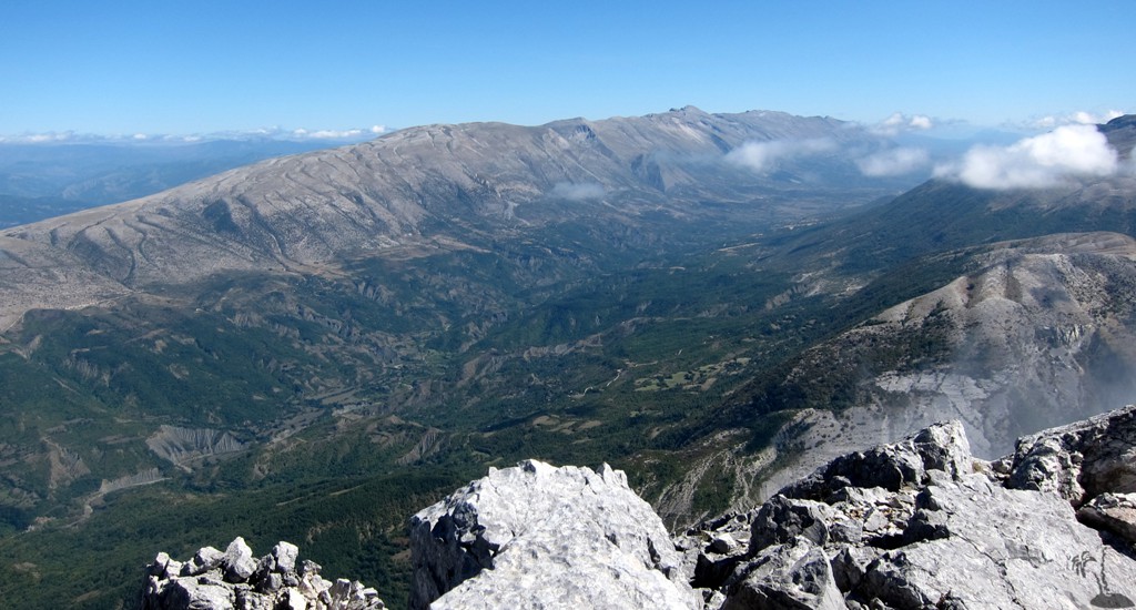
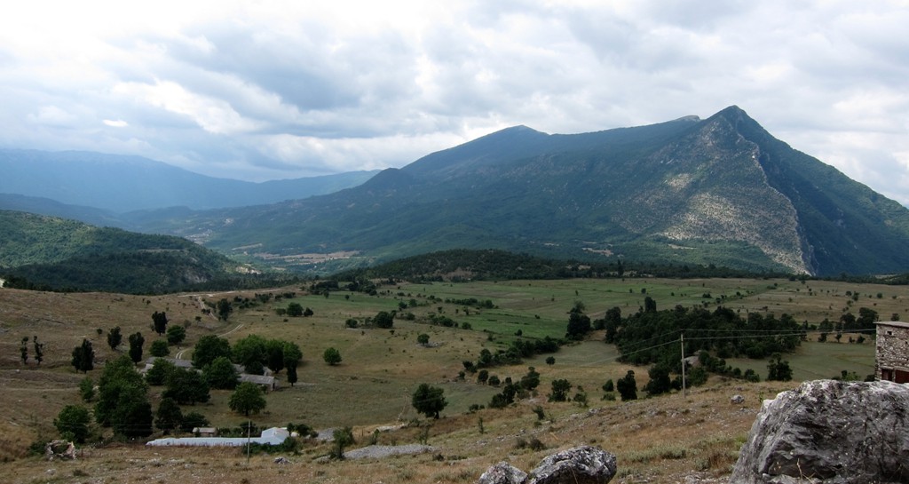
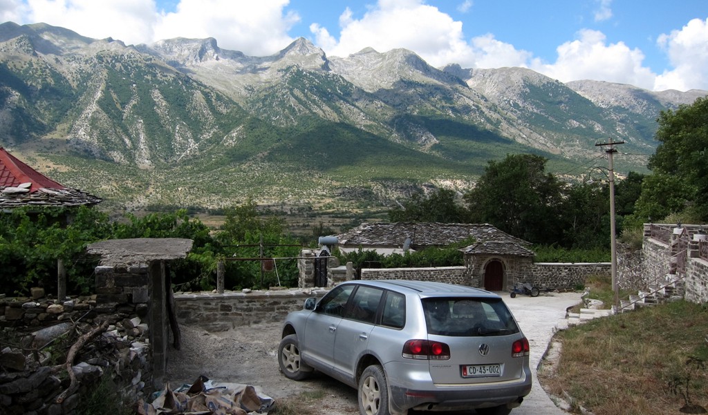
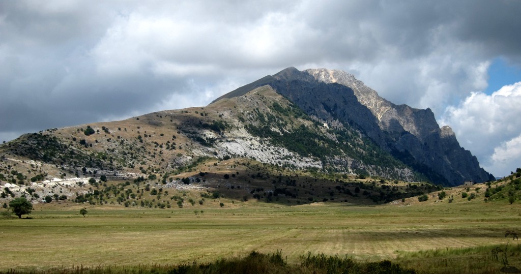
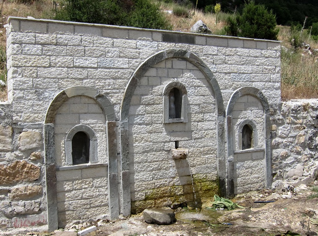
From Polican, turn north to Sheper, and down through the village to the hamlet of Nderan. Pass above the village of Topove and continue to Fushe Cajupi at an altitude of 1200 Meter. The Fushe is a welcome sight, and it comes complete with a spring and the start up of what eventually should become a restaurant and camping place. Views to Maja e Strakovecit are marvelous (also called Mali i Llofiz). If you have a few hours to spare, Maja e Strakovecit can be climbed from the Fusha, or from the pass higher up.
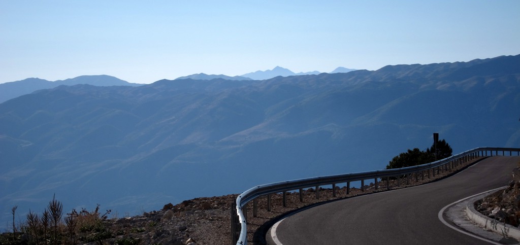
From the pass, a surprisingly good new asphalt road leads the way back to Gjirokaster.
| Maximum altitude: | 1306 meters | ||||||||||||||||||||||
| Minimum altitude: | 207 meter | ||||||||||||||||||||||
| Cumulative height: | 1555 meter | ||||||||||||||||||||||
| Cumulative length: | 65 kilometers | ||||||||||||||||||||||
Difficulty
| moderate |
Time:
|
3.5 hours |
Date of this record |
July 2014 |
Download GPS info: |
Zagoria |
|
| |
|
|
|
|
|
|
|
|
|
|
|
|
|
|
General location: Near Gjirokaster. If your aim is to reach the village of Sheper only, the road via Cajupi Pass and Fusha Cajupi (in opposite direction as indicated) is probably better than the road to Polican through the Gryka e Selckës. For a complete experience, you have to to do the full loop.
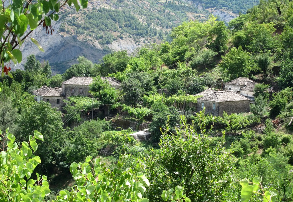
About Zagoria: The somewhat secluded Zagoria commune consists of 10 hamlets: Šheper, Nivan, Ndëran, Topovë, Konckë, Hoshteve, Limar, Vithuq, Doshnicë and Zhej. Nivan is the seat of the commune. The valley is 27 km long, at an altitude of about 750 m.
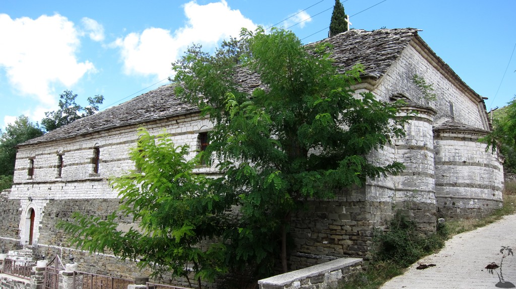
In the sixteen’s century, there were said to be 3300 residents in Zagoria, later increasing to 4,300 people, and Sheper had 600 homes. Houses often have two floors and are covered with black rock slabs characteristic of Zagoria. In and outward migration occurred for economic reasons, but also to escape persecution. Now about 80 percent of Zagorians work and live in emigration. Many buildings are deserted.
Residents of
Zagoria are justifiably proud of their produce; cheese,
meat, honey, medicinal plants. There is great touristic
potential.


Google Earth: You may also view the trail in 3D by clicking "view in Google Earth" when on Wikiloc. You need to have Google Earth installed on your computer.