PALM TREE PRODUCTIONS
back to hikes and climbs back to Locations and Travel
Attempt on Azhdahak
![]()
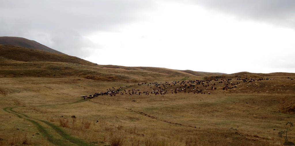
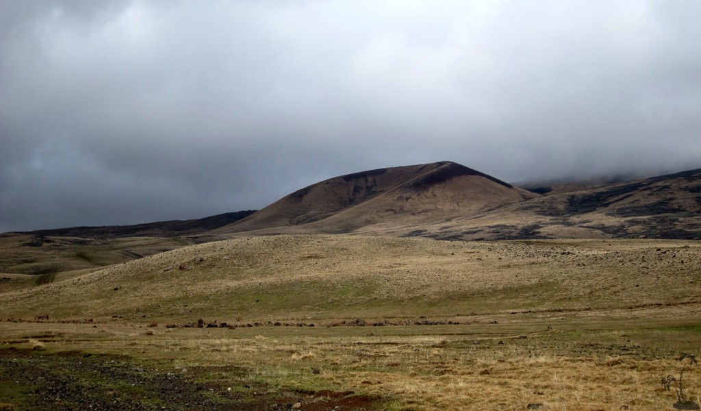
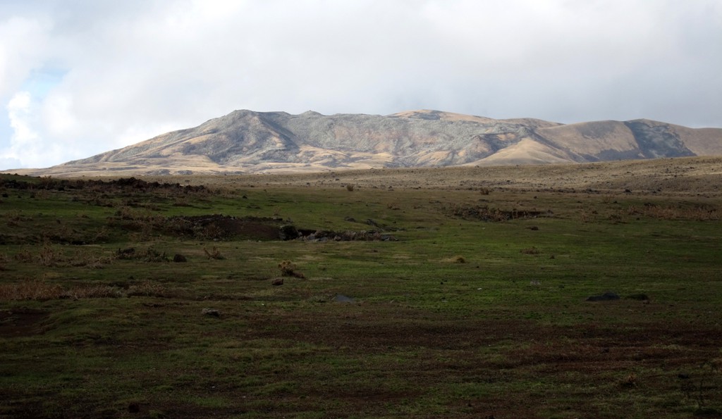
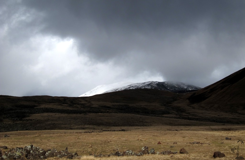
Summary: October is not the best time to climb high mountains in Armenia, but I had work to do and so we gave it a try. Our aim was Azhdahak, one of the high (3597 meters), but not difficult mountains near Yerevan, and part of the Geghama range. Azhdahak is not a sharp peak. The slopes of Azhdahak are inhabited in summer by shepherds, and there are some faint 4WD tracks.
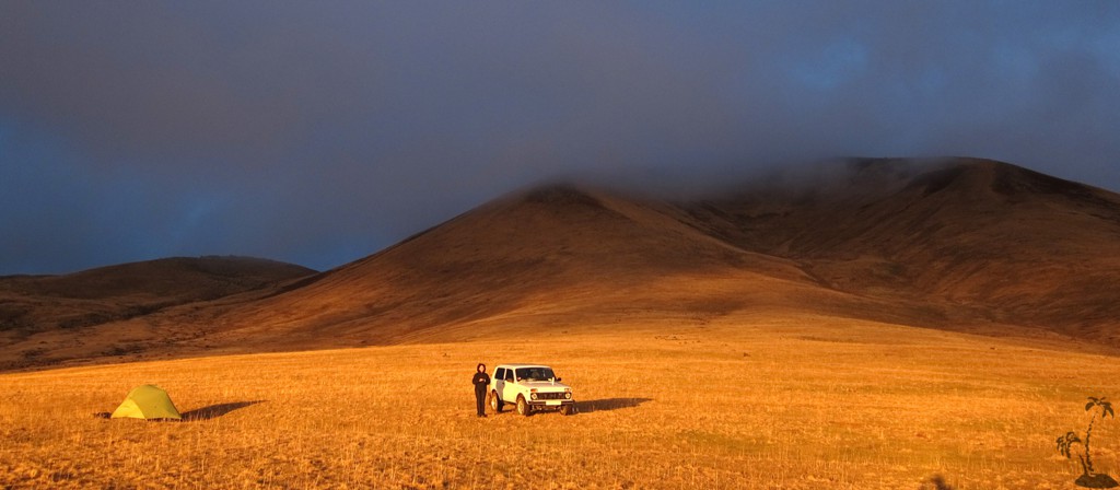
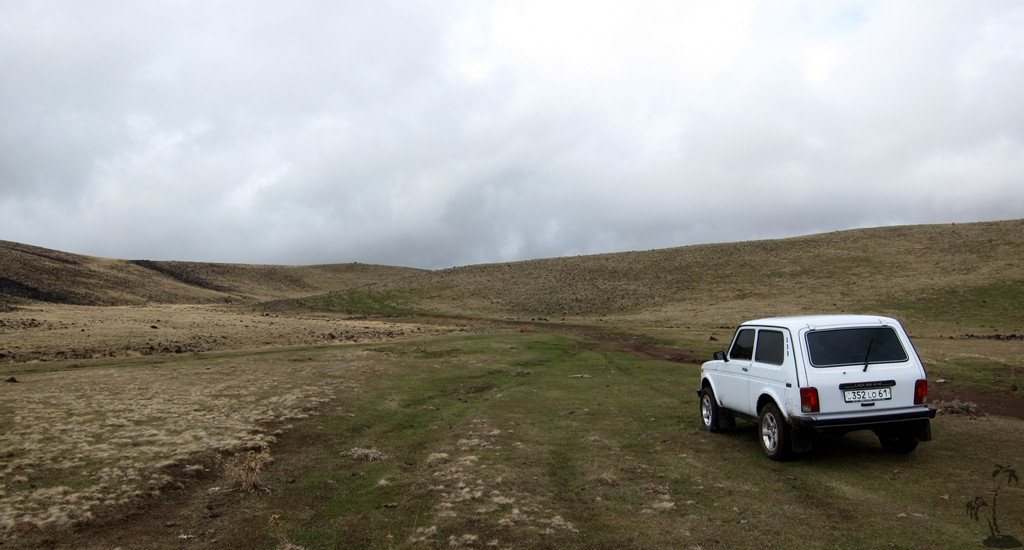
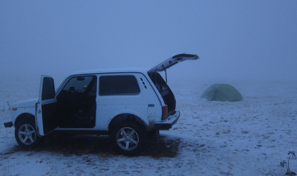
We rented a Lada Niva, arguably the best-suited care for this terrain. It was an old car, and the engine was tired, but it managed very well even in difficult rocky passages.
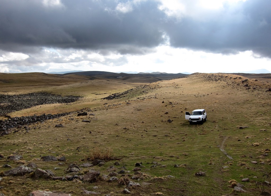
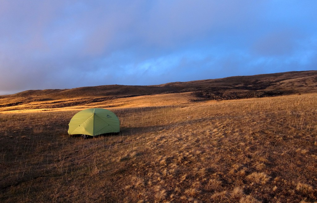
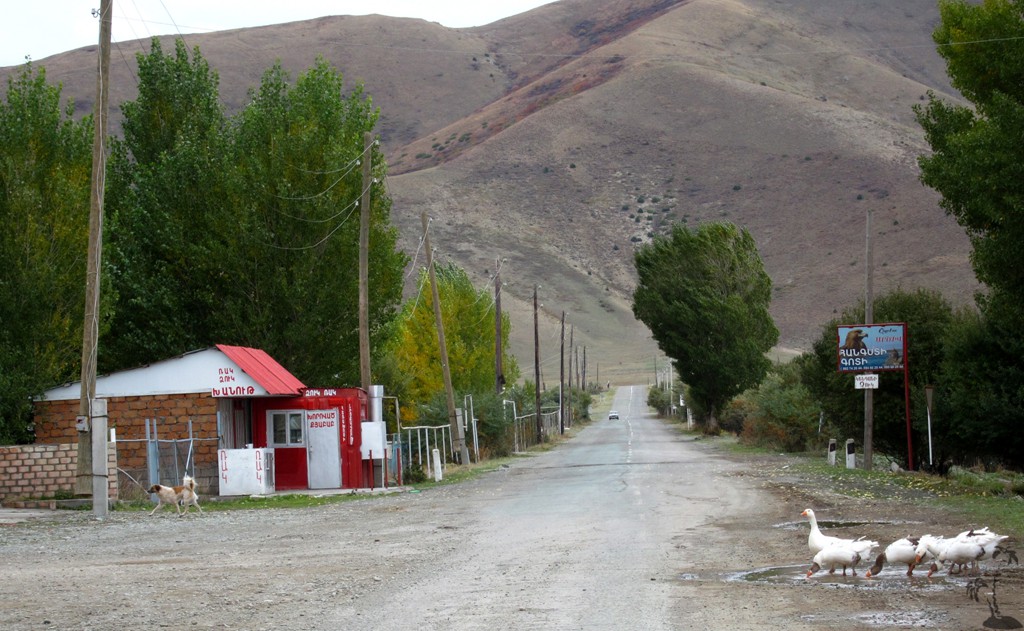
We selected a route starting from Geghard village (near the well known Geghard monastery), and reached an elevation of about 2900 meters where we planned to camp. The last few kilometer lead across pastures without a visible road.
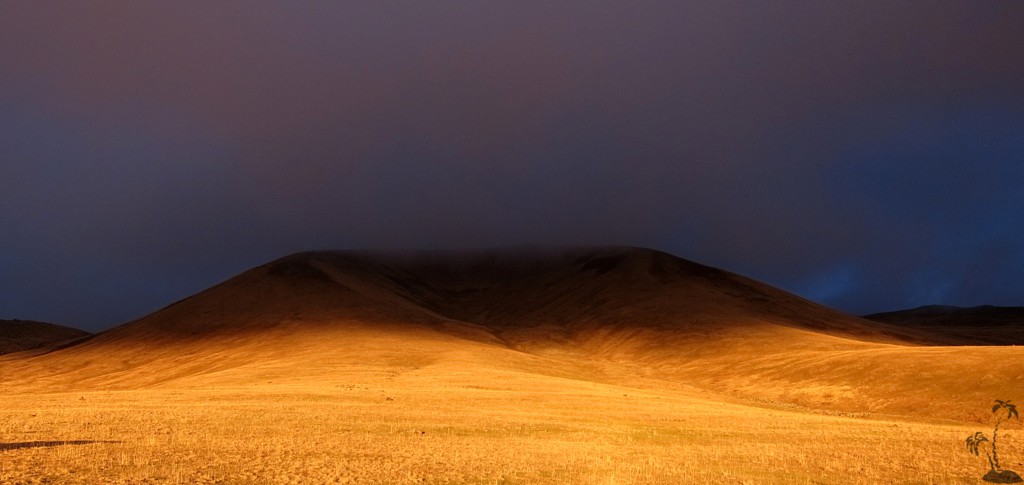
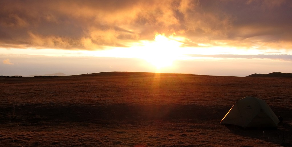
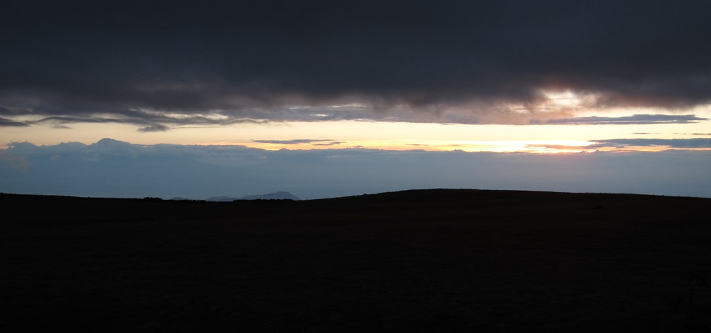
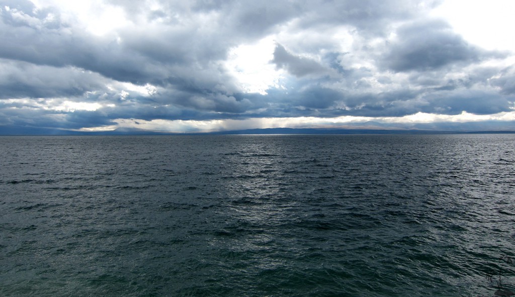
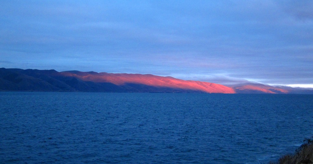
One could see across the lights of Yerevan, and even Ararat showed for a few moments. Given good weather, the hike to the summit would normally be a breeze.
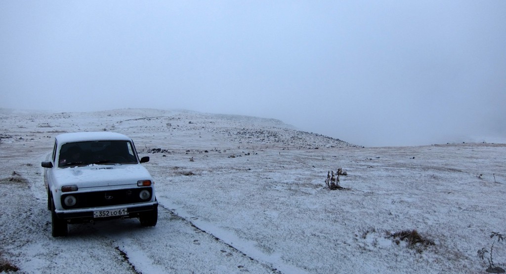
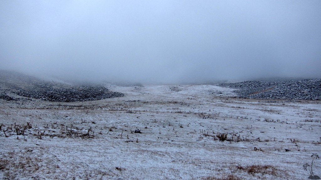
But it was getting cold and cloudy. During the night, snowfall set in and our 3-season tent bent down under the weight. At first light, we were engulfed in thick fog, with a prospect for more snow. With our bald summer tires on the Lada, the first order of the day was to get the car out of the snow back on a trail.
As it happened, we were late for one day, before the hiking season closed on Azhdahak.
| Maximum altitude: | 2930 meter | ||||||||||||||||||||||
| Minimum altitude: | 1708 meter | ||||||||||||||||||||||
| Cumulative height: | 1221 meter | ||||||||||||||||||||||
| Cumulative length: | 16 kilometer one way | ||||||||||||||||||||||
Difficulty
| moderate, depending on the weather |
Time:
|
1.5 hour |
Date of this record |
October 2014 |
Download GPS info: |
Azhdahak trailhead |
|
| |
|
|
|
|
|
|
|
|
|
|
|
|
|
|
General location and approach: Central Armenia, between Yerevan and Lake Sevan
Other Information:
GPS and trailmaps:
The map and
trailinformation is generated by
![]() , based
on GPS information collected from the actual hike. Waypoints
can be downloaded to a GPS device from Wikiloc. If necessary, use
GPSBabel to
convert GPS data to different formats. For more
hike descriptions by Palmtreetreeproduction, browse this
website or visit Wikiloc
and search for "Palmtreeproduction". You may also find
nearby trails from other authors.
, based
on GPS information collected from the actual hike. Waypoints
can be downloaded to a GPS device from Wikiloc. If necessary, use
GPSBabel to
convert GPS data to different formats. For more
hike descriptions by Palmtreetreeproduction, browse this
website or visit Wikiloc
and search for "Palmtreeproduction". You may also find
nearby trails from other authors.
Google Earth: You may also view the trail in 3D by clicking "view in Google Earth" when on Wikiloc. You need to have Google Earth installed on your computer.