PALM TREE PRODUCTIONS
back to hikes and climbs back to Locations and Travel
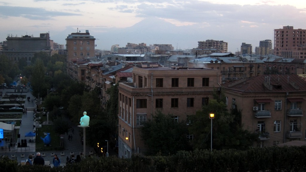
Yerevan Cascade
Summary: At an altitude of 900 meter Yerevan is dominated by the mighty silhouette of Noah's mountain, Ararat. However, for generations Ararat and the former Armenian land around it has belonged to Turkey. One can sense a certain melancholy or resignation in this stony country that has suffered repeated conquests and earth quakes. Yet Yerevan has a fresh atmosphere, although the years after independence from the former Soviet Union were tumultuous. The visitor sees a young, quite egalitarian country.
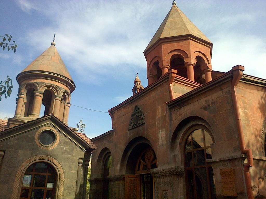
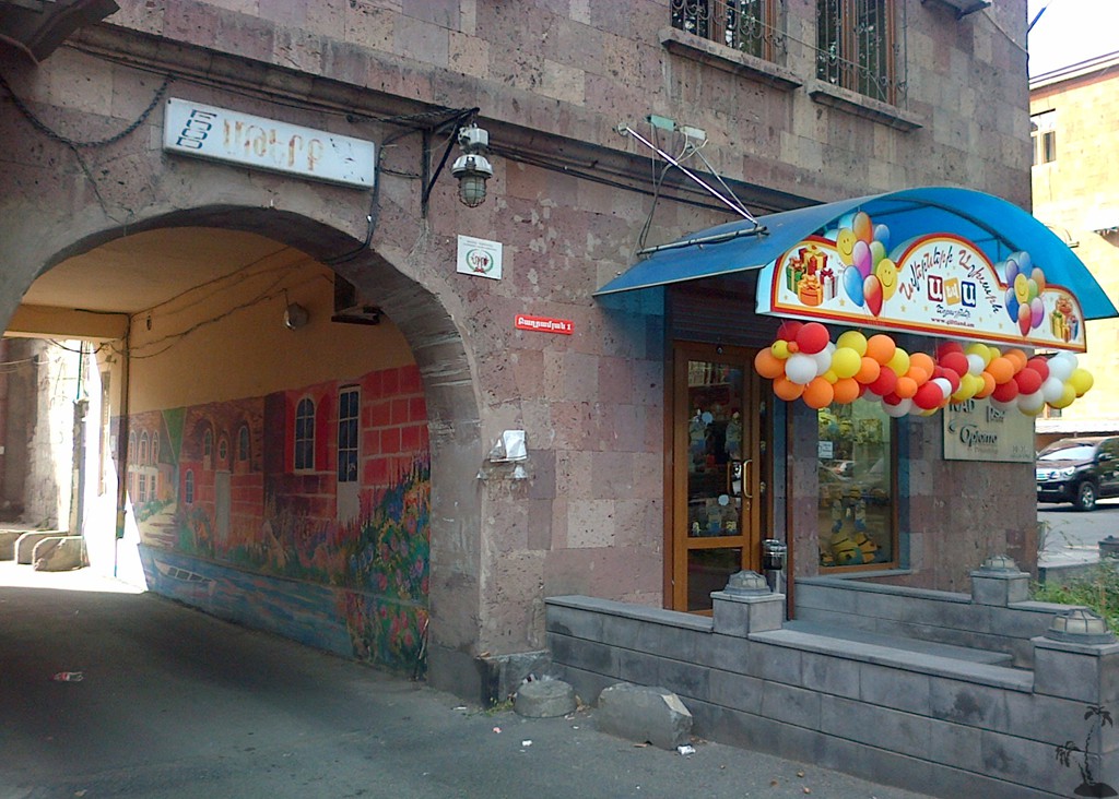
To fully explore the capital of Armenia, one needs several days. Thankfully, street names and locations in Yerevan are now signposted in both Armenian and Latin script. Tourism is welcome with an air of honest hospitality. Restaurants of all kind and budgets are everywhere, Jazz clubs are going through a revival.
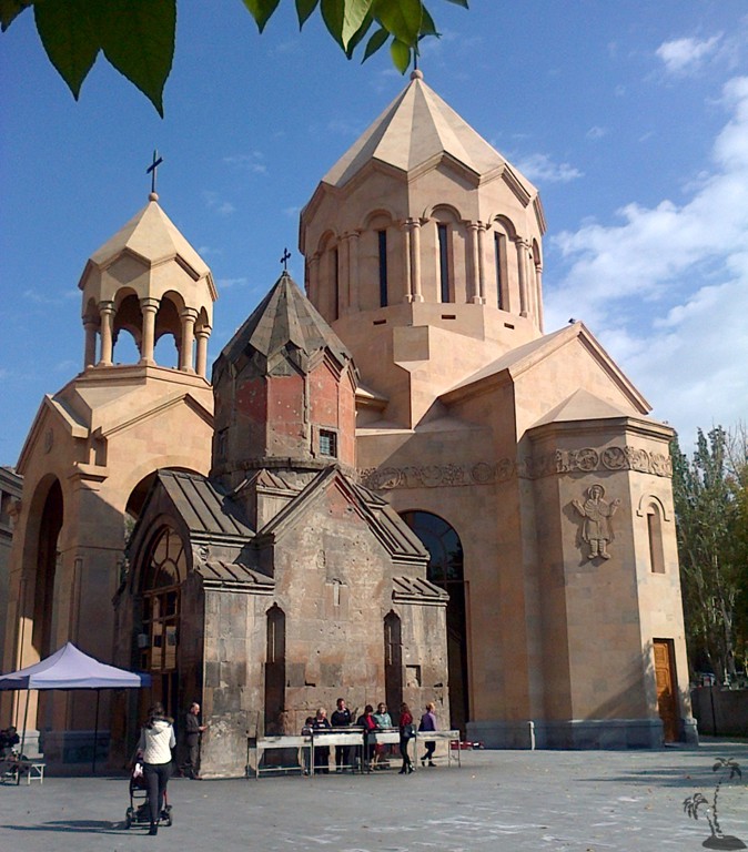
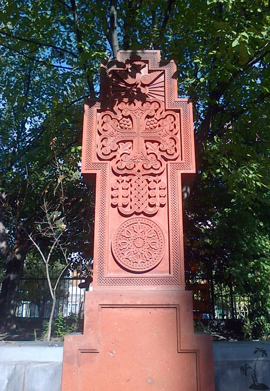
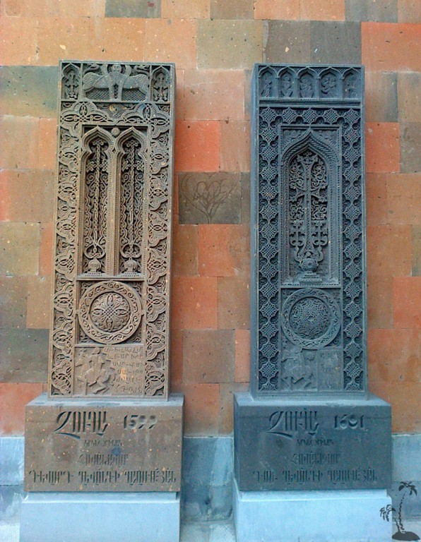
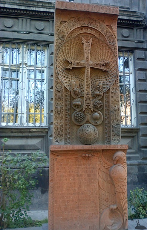
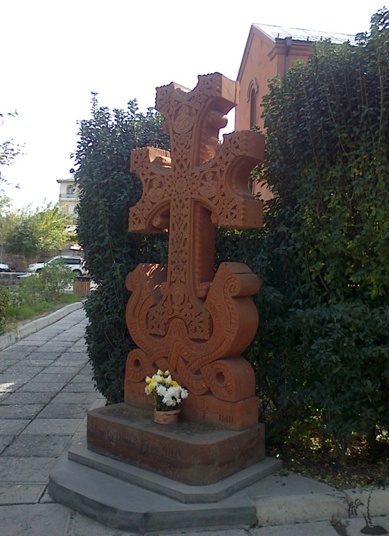
A pecualiarity of Yerevan and Armenia are the Khachkar - a usually flat stele with an ornamentally carved cross. The Khachkar is one of the most characteristic symbols of Armenian identity.
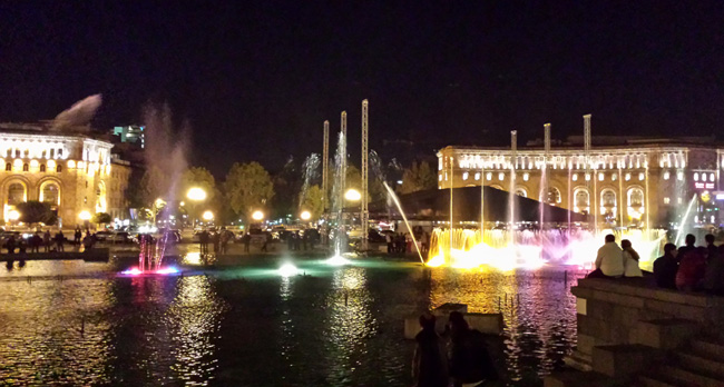
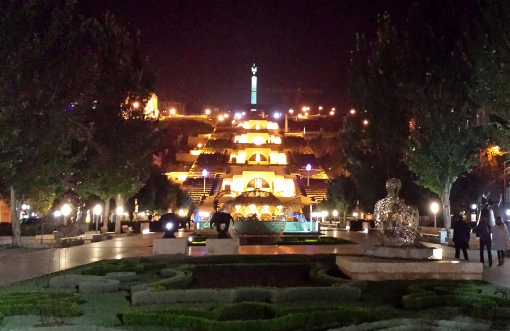
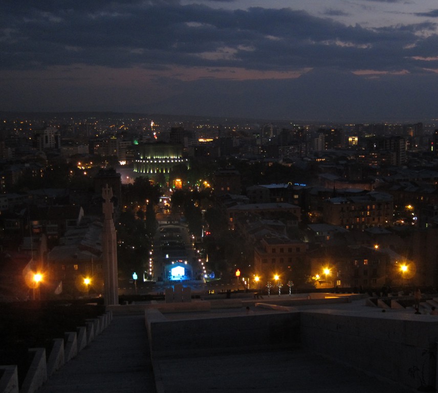
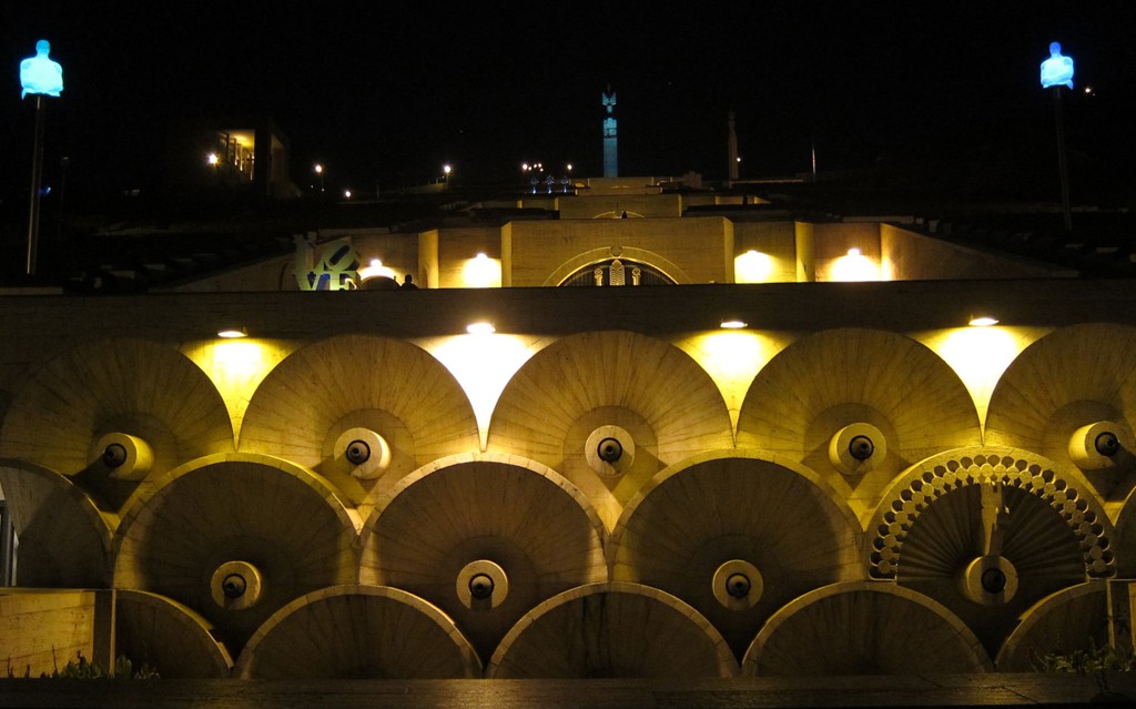
The Musical Fountains: Below is the Republic Square in the center of Yerevan. Click on the image to see and hear the Musical Fountains.
Hiking the Yerevan Cascades: Below is the track of climbing the Yerevan Cascade from the bottom to the top. It is a good exercise - repeat as often as needed. The upper third of the stairs leads past a huge construction pit, which is likely to remain under construction for a while. The lower part can be also overcome by escalators.
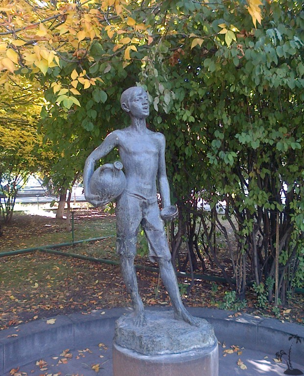
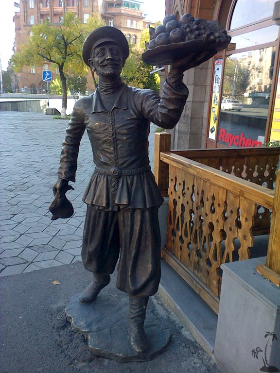
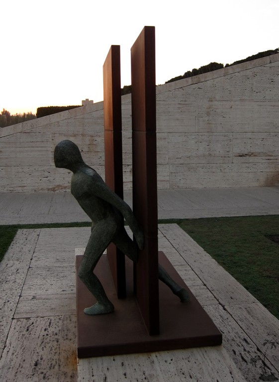
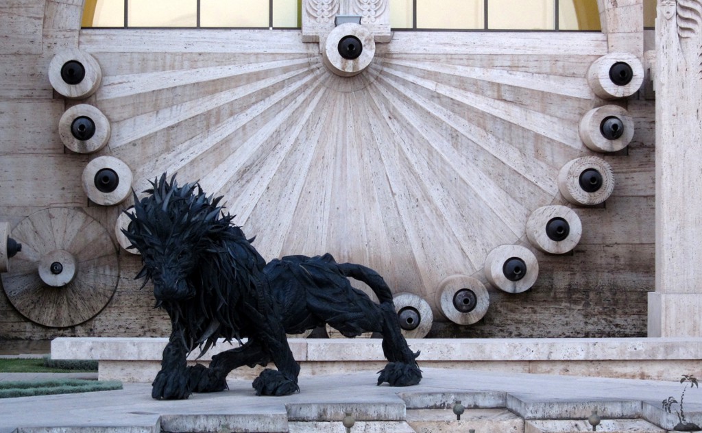
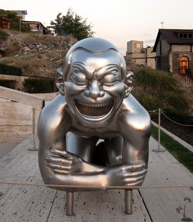
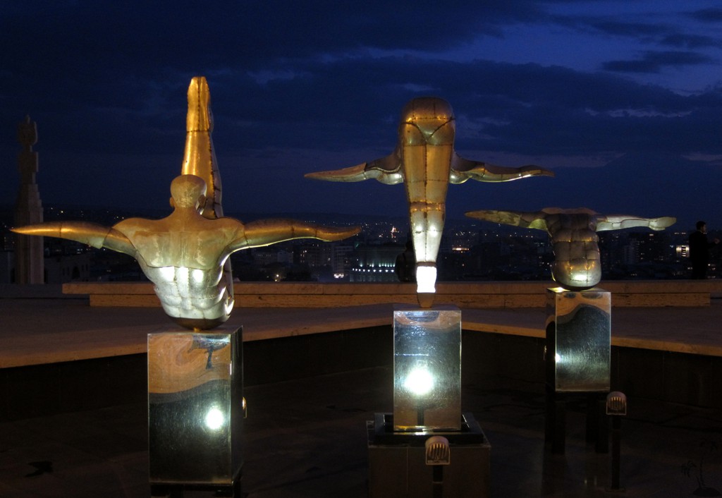
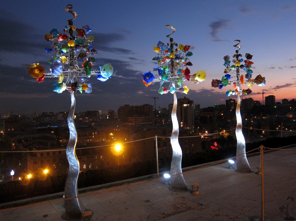
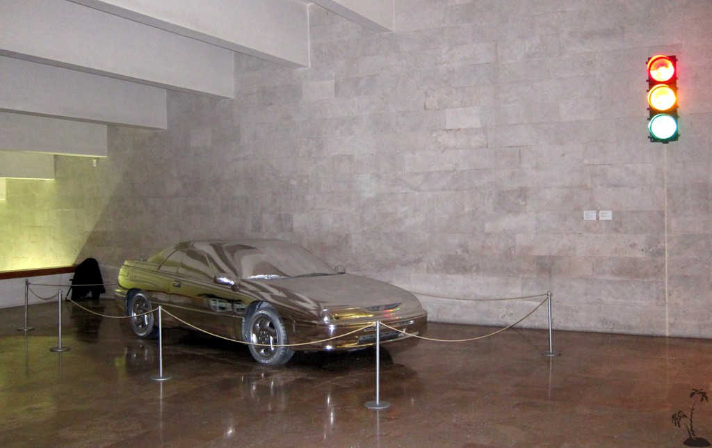
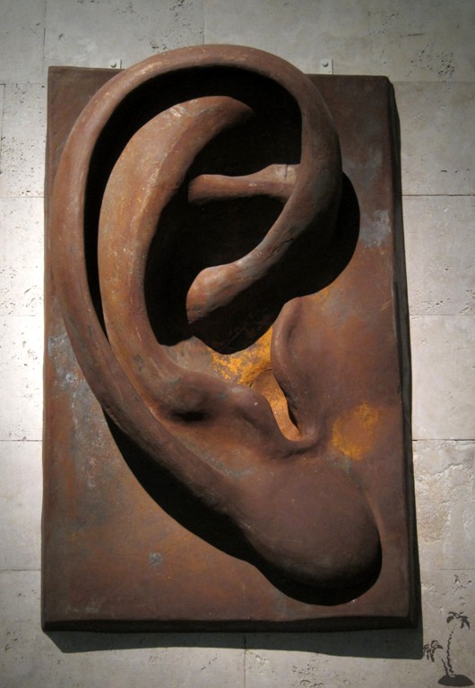
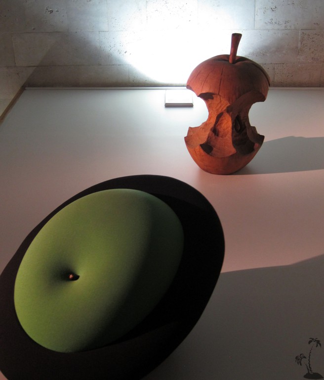
At each level, there are pieces of art, both outside on the stairs and inside where the escalators are. The whole area is an open-air museum of modern art.
| Maximum altitude: | 1058 meter | ||||||||||||||||||||||
| Minimum altitude: | 942 meter | ||||||||||||||||||||||
| Cumulative height: | 111 meter | ||||||||||||||||||||||
| Cumulative length: | 1.5 kilometer roundtrip | ||||||||||||||||||||||
Difficulty
| easy |
Time:
|
1 hour or more (for sightseeing) |
Date of this record |
October 2014 |
Download GPS info: |
Yerevan Cascade |
|
| |
|
|
|
|
|
|
|
|
|
|
|
|
|
|

Google Earth: You may also view the trail in 3D by clicking "view in Google Earth" when on Wikiloc. You need to have Google Earth installed on your computer.