PALM TREE PRODUCTIONS
back to hikes and climbs back to Locations and Travel
Ivacka Glava in Papuk Geopark![]()
Summary: Papuk Geopark is southeast of Zagreb, and can be easily reached from the highway connecting Zagreb and Belgrade. It covers one of the major ridgelines in the otherwise rather flat plains. To their credit, authorities and hiking clubs did a great job in creating an interesting outdoor destination in varied surroundings
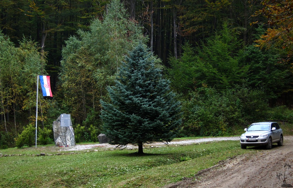
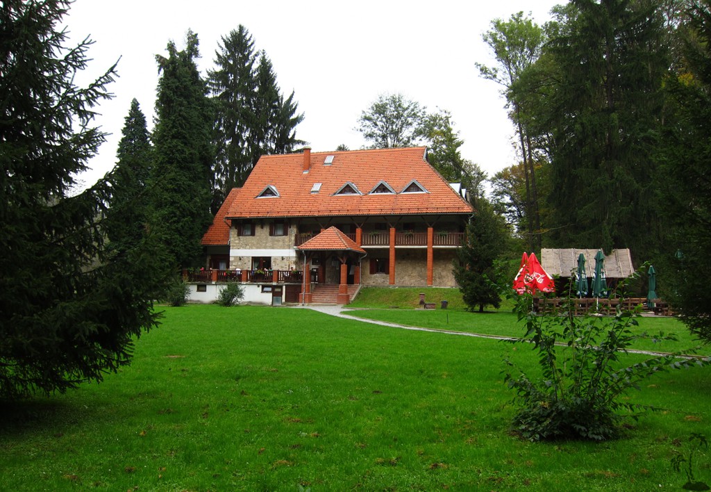
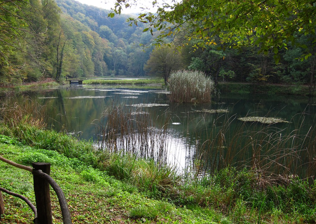
A major point is Jankovac Hut, a chalet in the forest with a restaurant and private rooms. We would have stayed in Jankovac, but we didn't as we were alerted to a wedding ceremony that would last through the night. So we stayed in the Majetic winery nearby Kutjevo, and were not dissappointed.
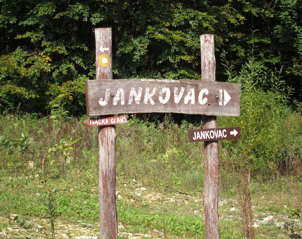
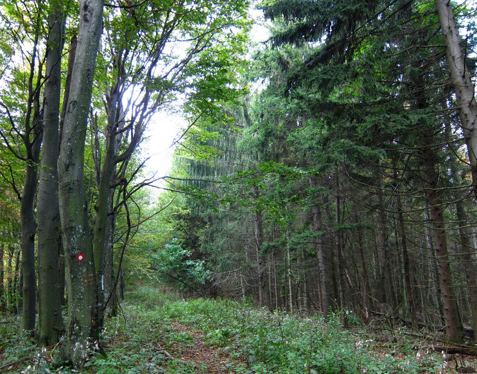
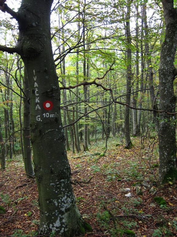
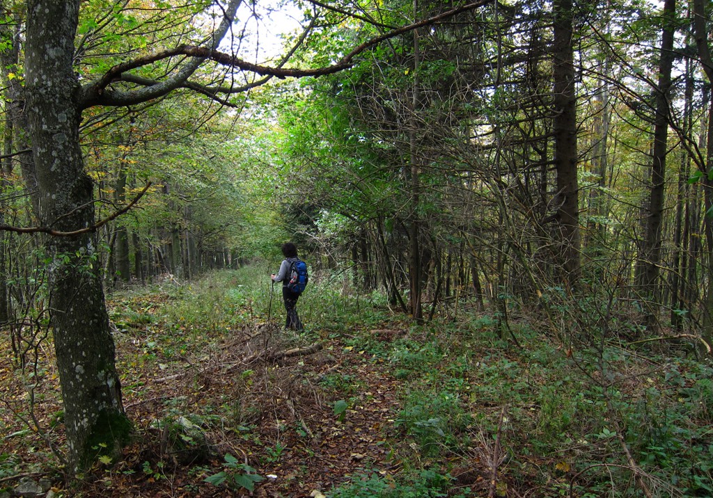
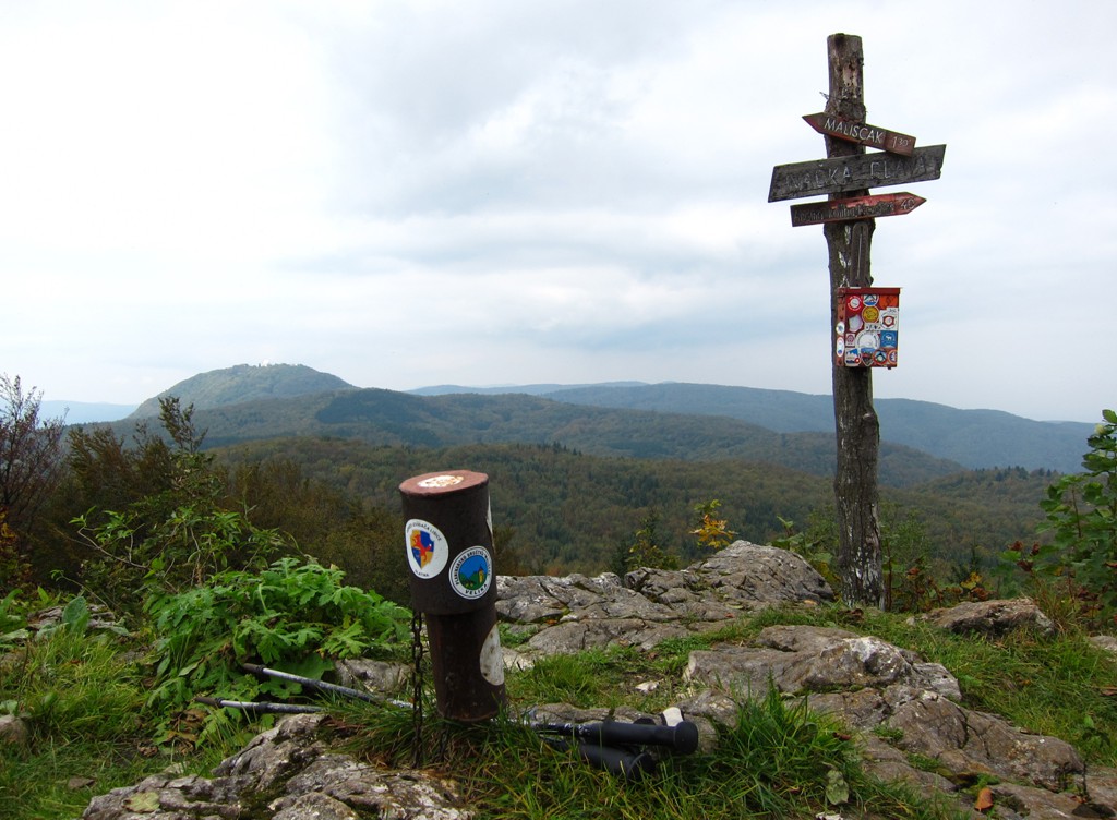
The hike: Ivacka Glava is the highest point accessible to hikers in Papupk Geopark. The actual summit is used by the military and not open to the public. Our trail starts at the pass, from where the road (no 4WD is necessary) from Velika is descending to Jankovac. The trail is well signposted. It is also possible to park at Jankovac and start hiking from there, but it adds considerably to the distance and elevation gain.
| Maximum altitude: | 921 meter | ||||||||||||||||||||||
| Minimum altitude: | 727 meter | ||||||||||||||||||||||
| Cumulative height: | 245 meter | ||||||||||||||||||||||
| Cumulative length: | 6 kilometer roundtrip | ||||||||||||||||||||||
Difficulty
| easy |
Time:
|
2 hours |
Date of this record |
September 2014 |
Download GPS info: |
Ivacka Glava |
|
| |
|
|
|
|
|
|
|
|
|
|
|
|
|
|
General location and approach: Near Kutjevo, between Zagreb and Osijek
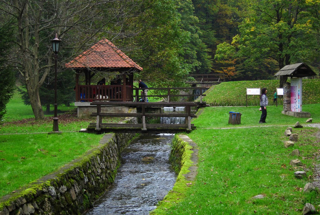
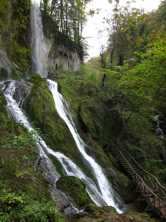
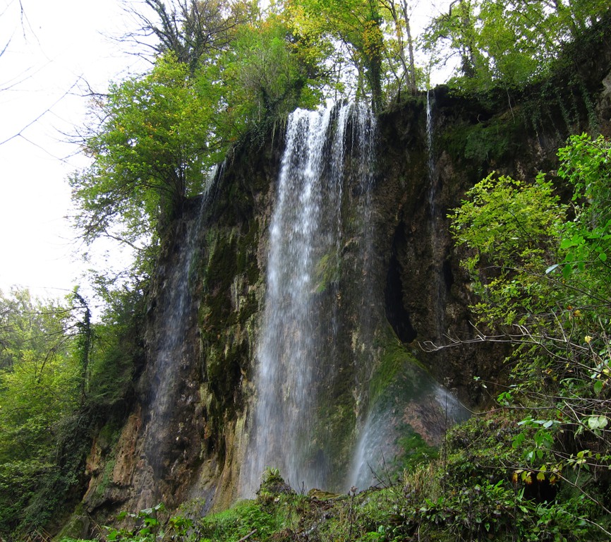
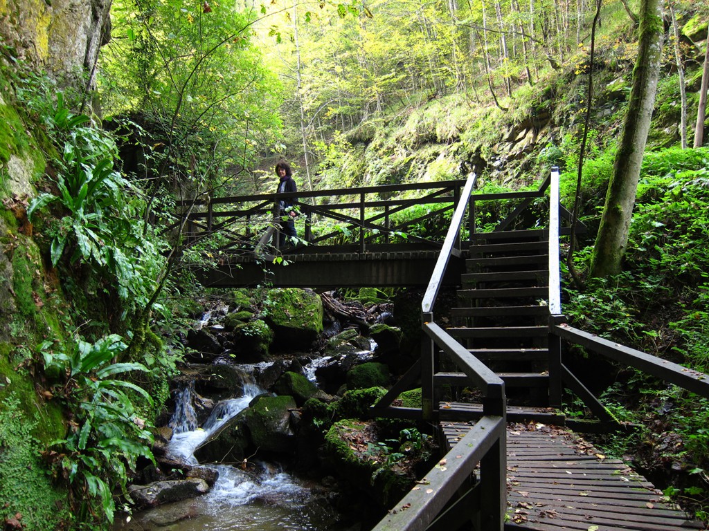
Other Information: Jankovac is also the place of an interesting waterfall and particular geological formations, which are still being reserached. The circular walk from Jankovac is very much recommended - it doesn't take more than 30 minutes, but hiking shoes are recommended. Educational tours are available.
Google Earth: You may also view the trail in 3D by clicking "view in Google Earth" when on Wikiloc. You need to have Google Earth installed on your computer.