PALM TREE PRODUCTIONS
back to hikes and climbs back to Locations and Travel
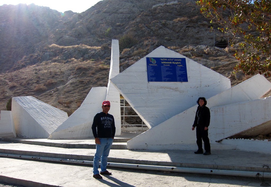
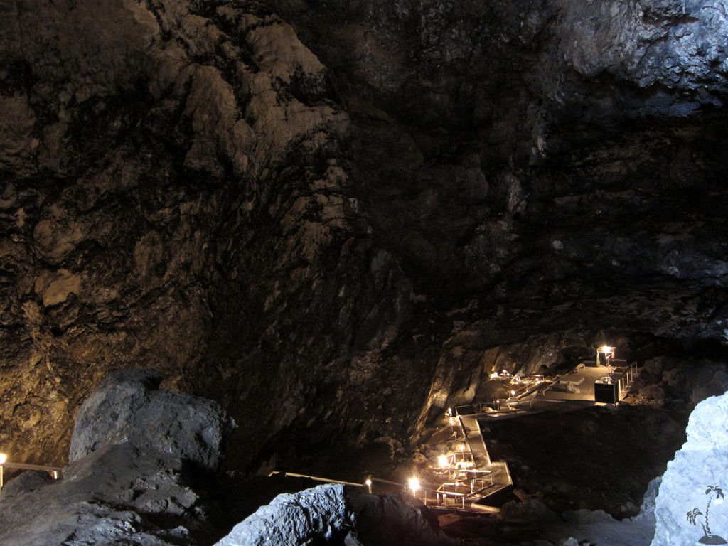
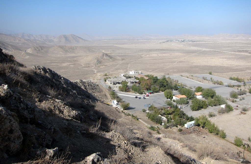
Köw Ata Underground Lake![]()
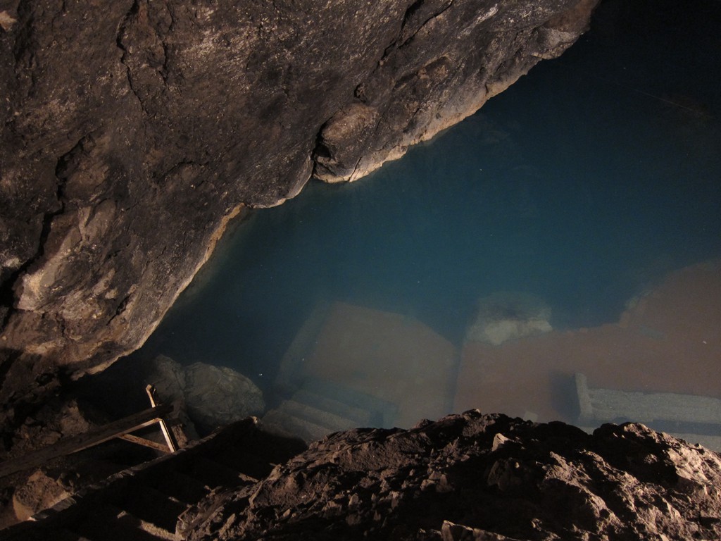
Summary: Köw Ata is a thermal lake fed by a spring in a cave that is 65 meter underground. It is easily reached by asphalt road, 150 km west of Ashgabat.
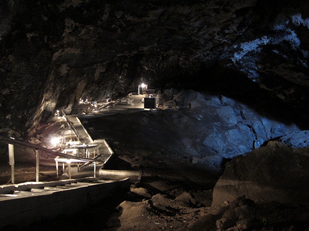
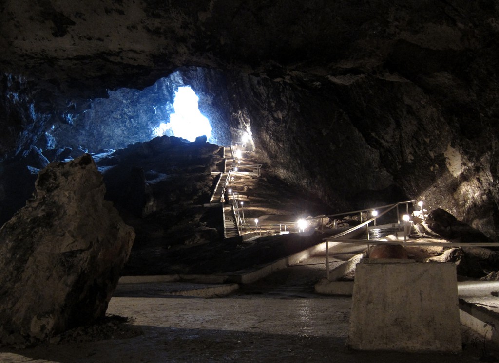
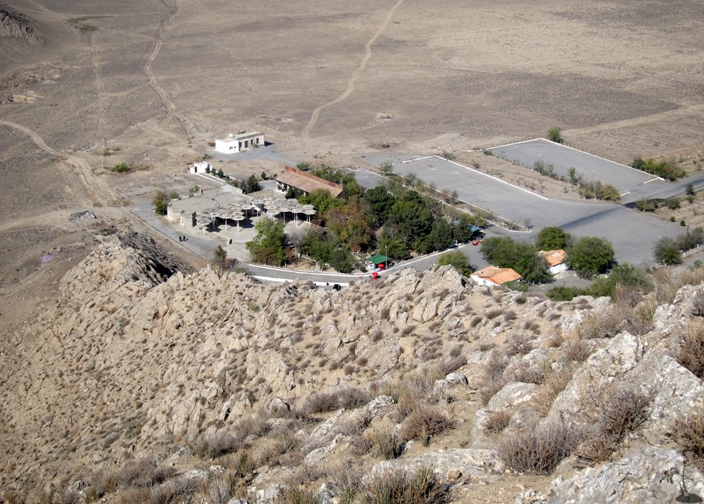
The entrance is hidden at the foot of a hill, from where 65 steps lead down into the cave. The site is well developed with a kiosk where you can choose between a sightseeing visit and a visit combined with swimming. As we were there on a sunny but cold November day, we refrained from a dip. Swimming enthusiasts must brave the traces of earlier visitors, bats and birds frequenting the cave. The path to the warm water is well lit, and there are basic changing facilities. The water is said to have medicinal qualities.
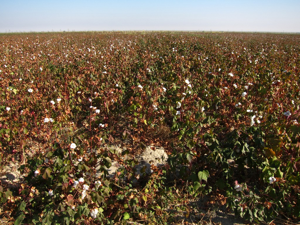
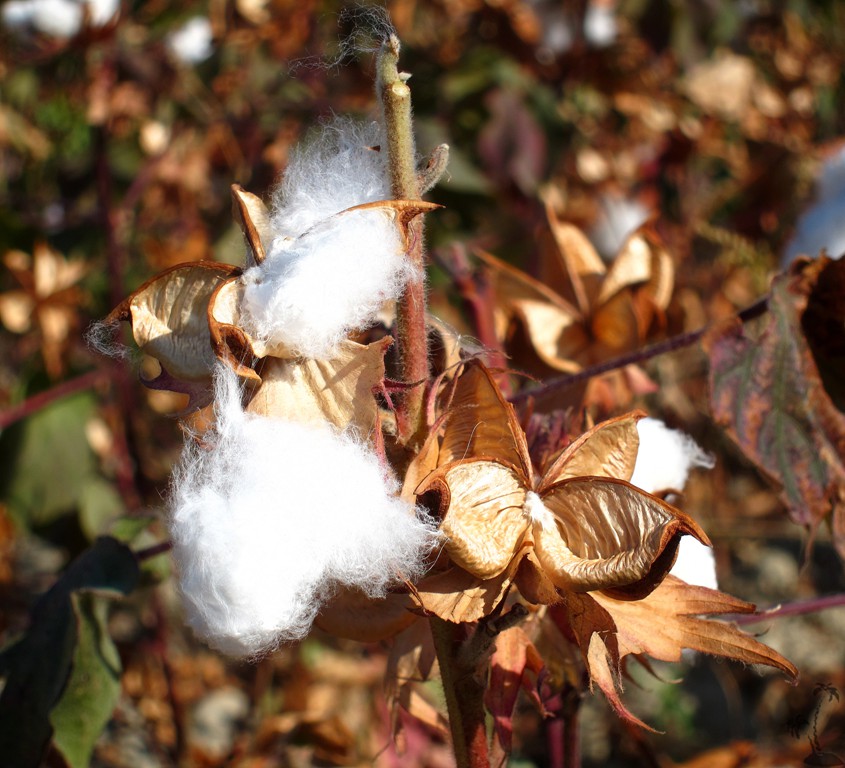
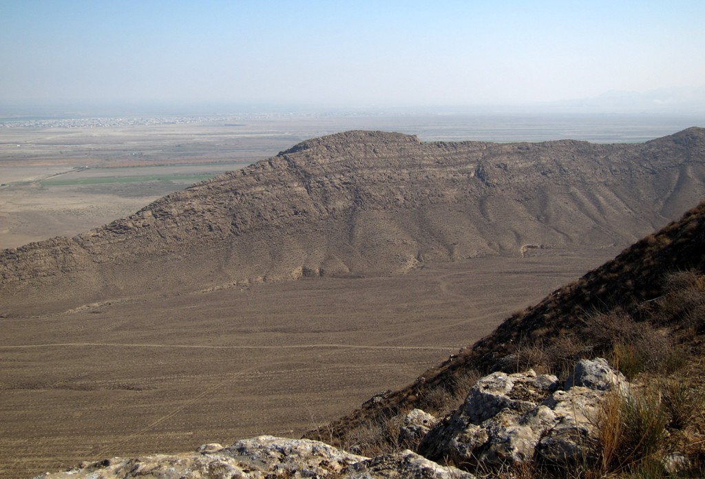
The journey to Köw Ata gives a good first impression of some of this desert country's main concern: water and irrigation to utilize the arable land. Along the narrow band of the southern mountain range are large cotton fields, which once provided for much of the agricultural income.
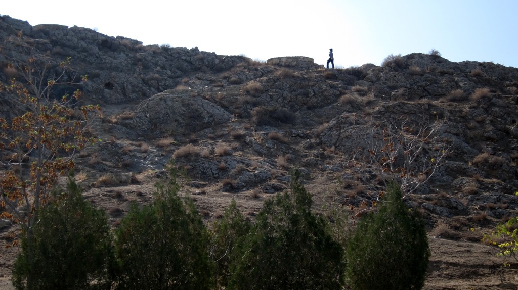
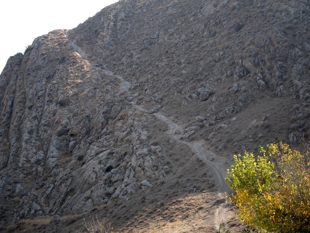
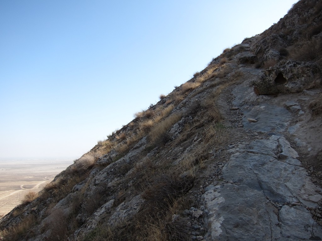
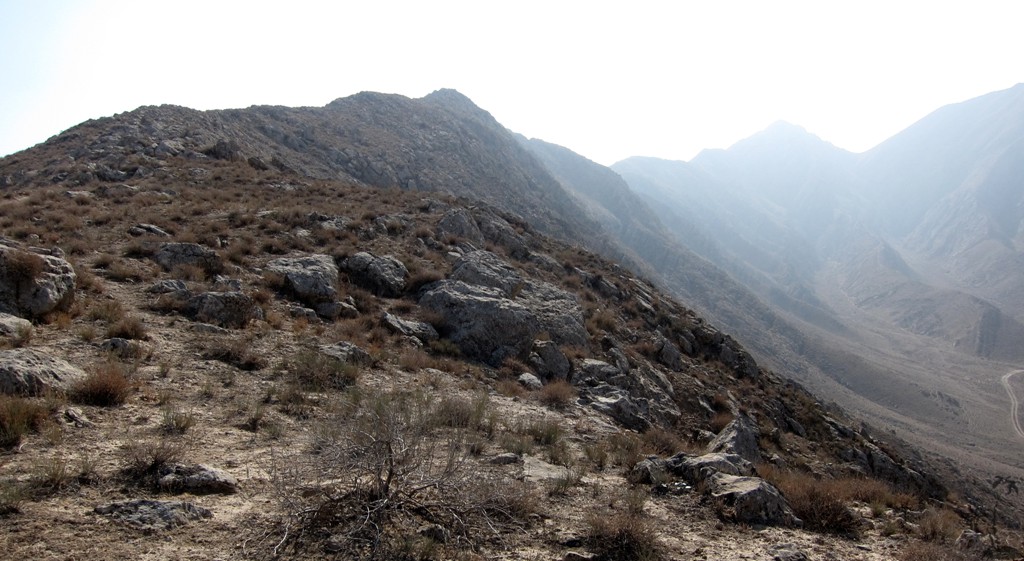
At Köw Ata, we decided to stretch our legs and hike the hill above the lake. With some more planning, it should be possible to do a more extended hike by following the ridge.
| Maximum altitude: | 448 meter | ||||||||||||||||||||||
| Minimum altitude: | 302 meter | ||||||||||||||||||||||
| Cumulative height: | 148 meter | ||||||||||||||||||||||
| Cumulative length: | 1 kilometer | ||||||||||||||||||||||
Difficulty
| moderate |
Time:
|
1 hour |
Date of this record |
October 2014 |
Download GPS info: |
Köw Ata |
|
| |
|
|
|
|
|
|
|
|
|
|
|
|
|
|
General location and approach: 150 kilometers west of Ashagat, on excellent asphalt road.
Other Information: Turkmenistan is still very much closed to visitors. For a visa, one needs a letter of invitation. Some travel agencies may be able to arrange this, for certain areas. Some areas of Turkmenistan are closed to visitors. Internet is difficult to get, and facebook and youtube are not accessible from Turkmenistan.
It is currently not possible to rent a vehicle in Turkmenistan, unless you hire a driver.
GPS and trailmaps:
The map and
trailinformation is generated by
![]() , based
on GPS information collected from the actual hike. Waypoints
can be downloaded to a GPS device from Wikiloc. If necessary, use
GPSBabel to
convert GPS data to different formats. For more
hike descriptions by Palmtreetreeproduction, browse this
website or visit Wikiloc
and search for "Palmtreeproduction". You may also find
nearby trails from other authors.
, based
on GPS information collected from the actual hike. Waypoints
can be downloaded to a GPS device from Wikiloc. If necessary, use
GPSBabel to
convert GPS data to different formats. For more
hike descriptions by Palmtreetreeproduction, browse this
website or visit Wikiloc
and search for "Palmtreeproduction". You may also find
nearby trails from other authors.
Google Earth: You may also view the trail in 3D by clicking "view in Google Earth" when on Wikiloc. You need to have Google Earth installed on your computer.