PALM TREE PRODUCTIONS
Baku to Xinaliq![]()
![]()
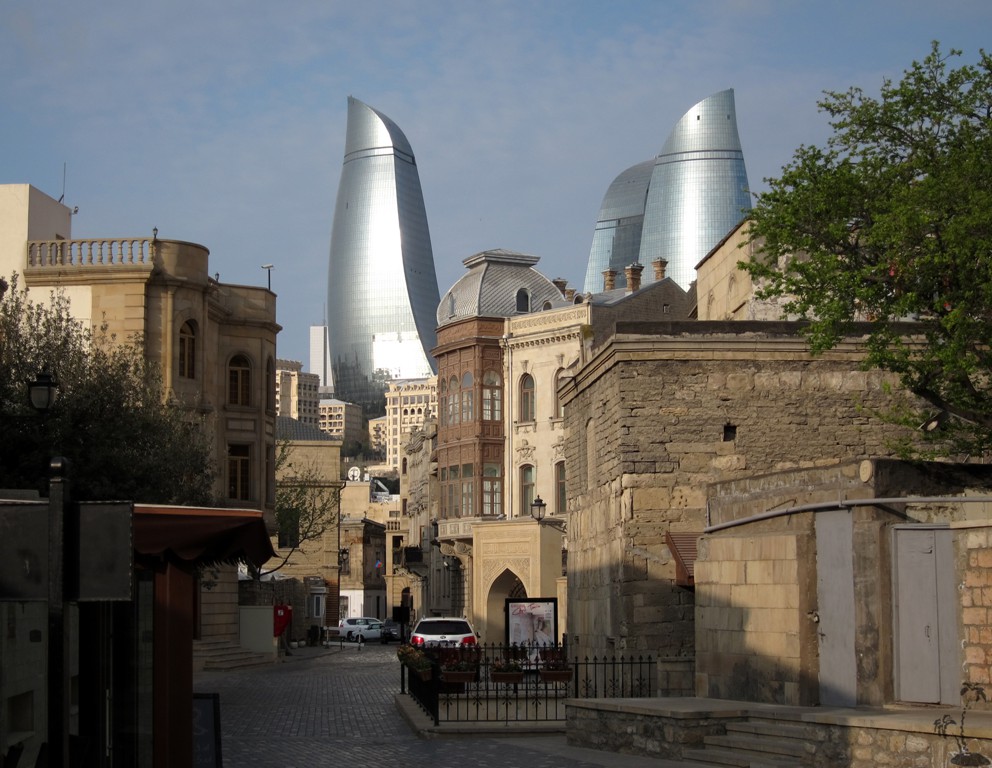
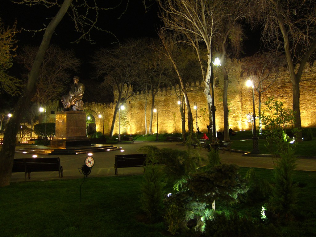
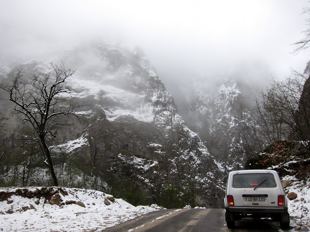
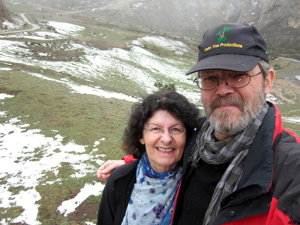
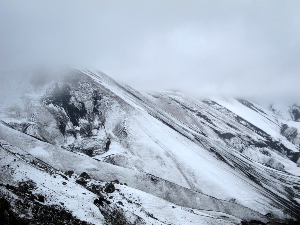
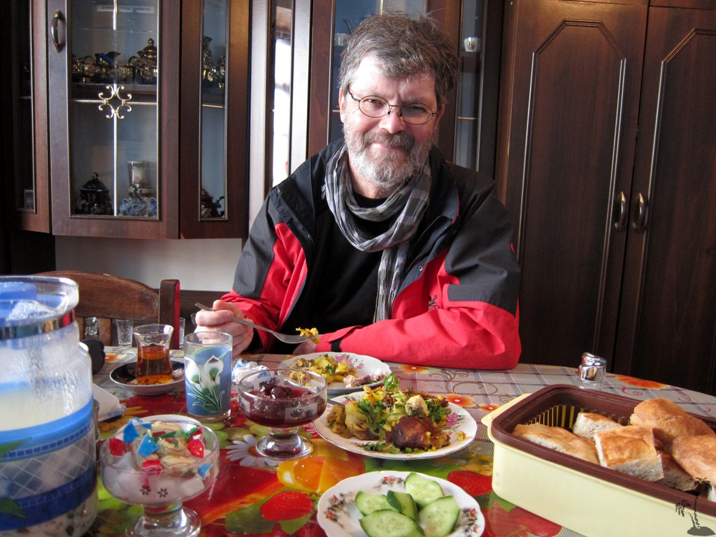
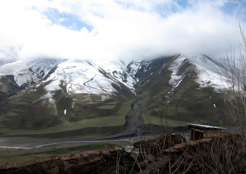
Summary: We visited Azerbaijan in April 2013, and had expected sunshine and warmth. Instead, the clouds did rareely lift in Baku and elsewhere. It was snowing in Xinaliq and temperatures dropped below zero during the night.
The Drive: The trail starts in Quba and ends in the village of Xinaliq, almost 2200 Meter in altitude. The road is asphalt, with a few broken stretches that are more comfortably negotiated with a 4WD vehicle. We had hired a Lada Niva, which was perfect for the road in near winter conditions.
| Maximum altitude: | 2166 meter |
| Minimum altitude: | 578 meter |
| Cumulative height: | 2099 meter |
| Cumulative length: | 50 kilometer |
| Difficulty | easy |
| Time: | 2 hours from Quba to Xinaliq |
| Date of this record | April 2013 |
| Download GPS info: | The Road to Xinaliq |
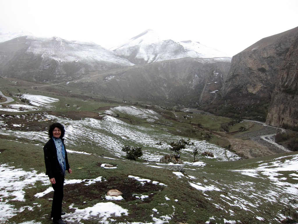
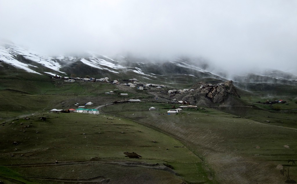
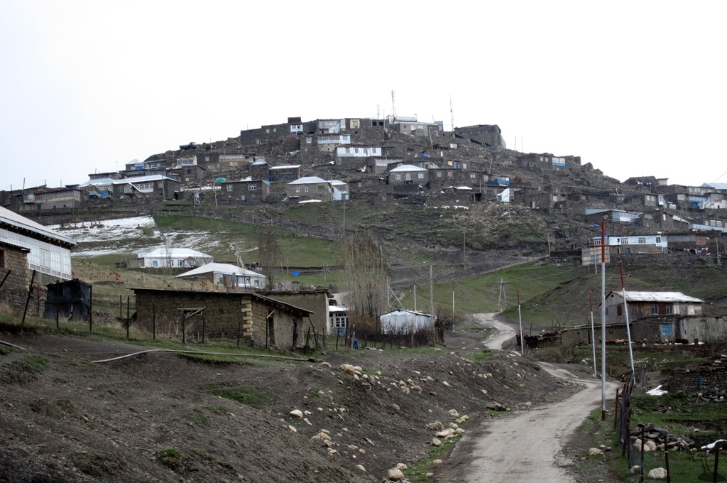
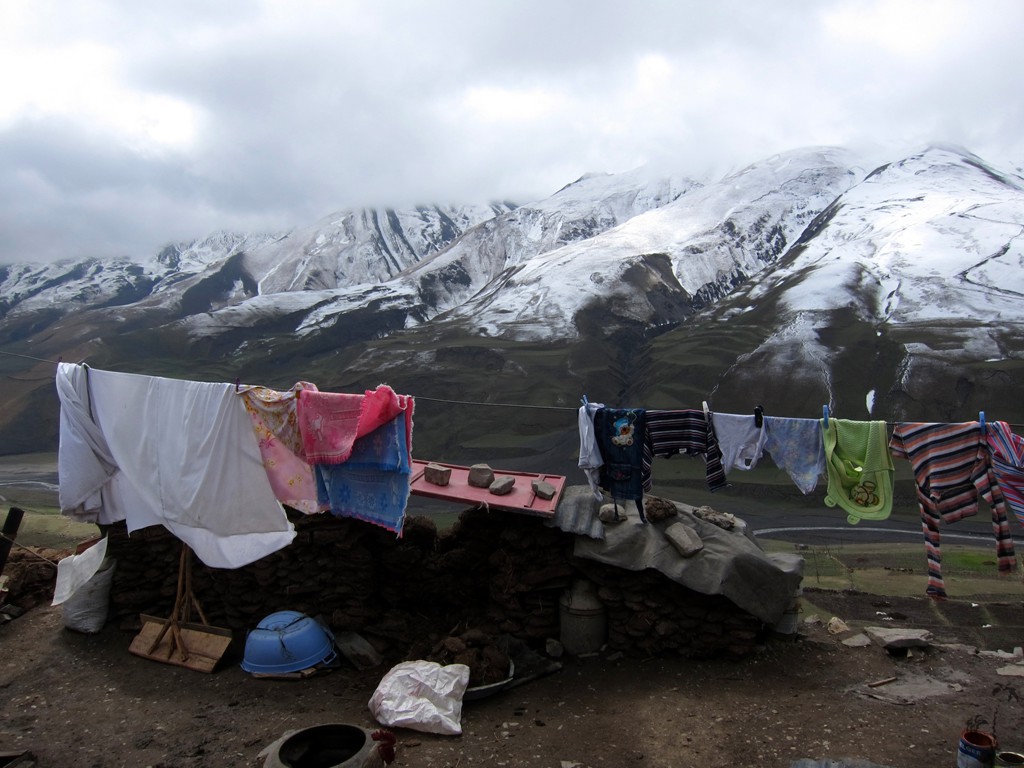
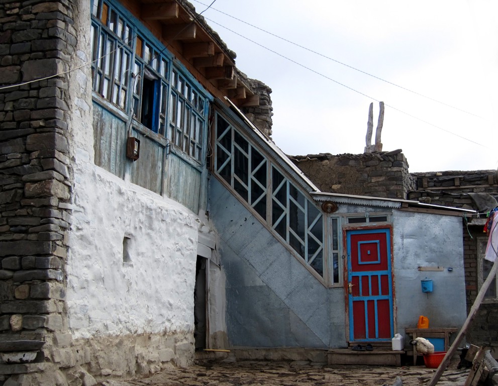
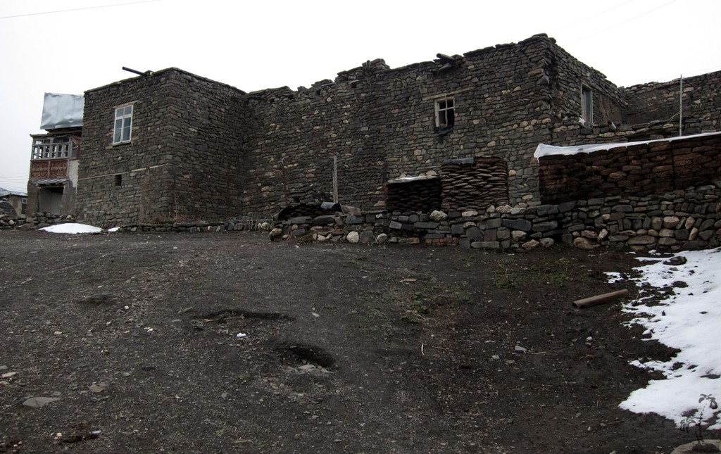
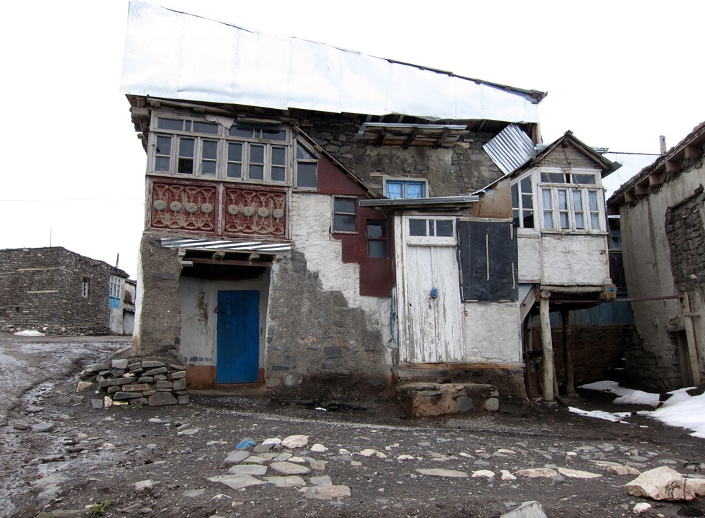
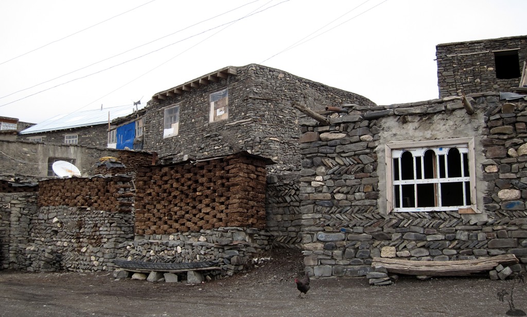
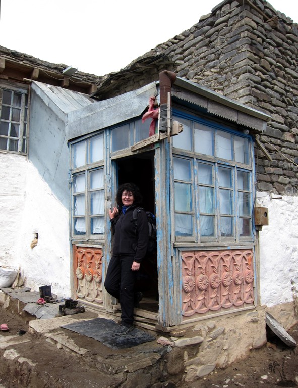
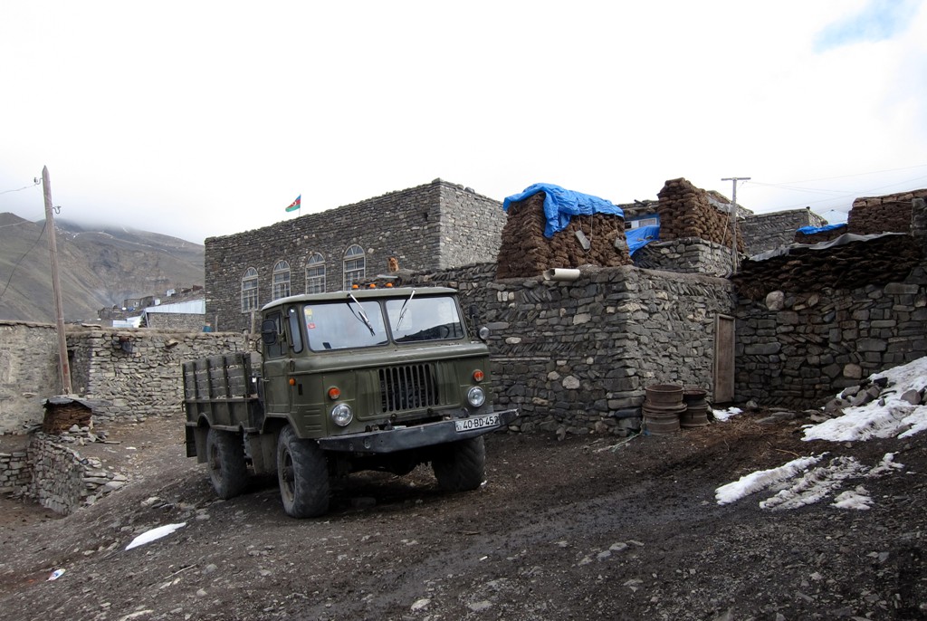
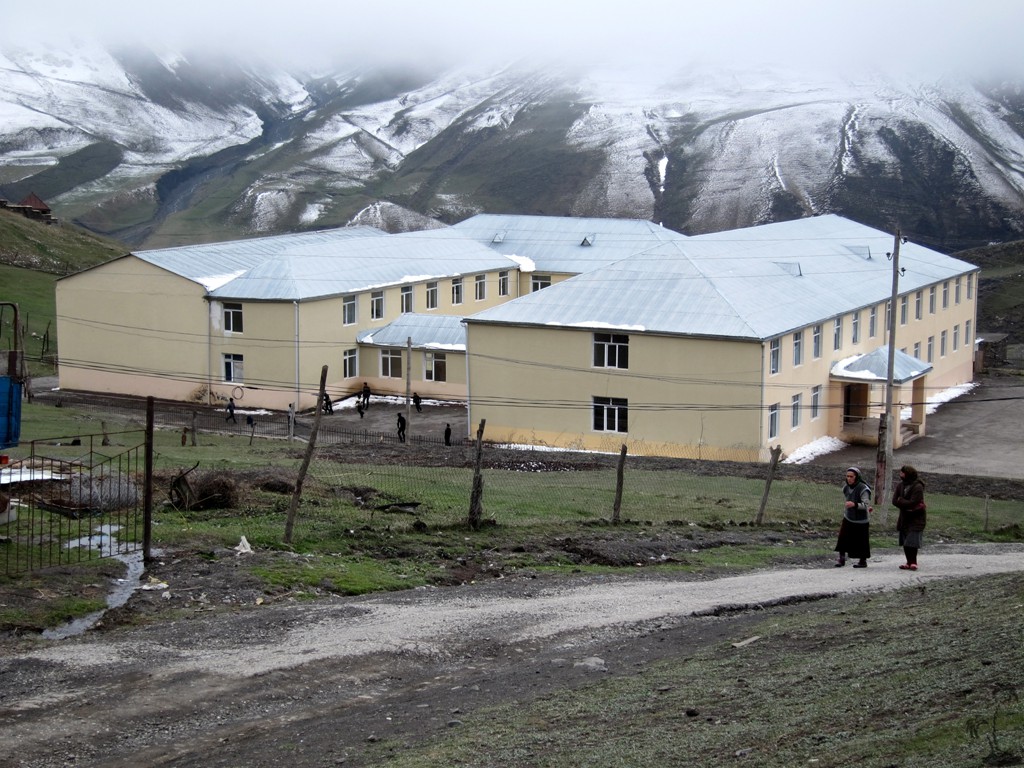
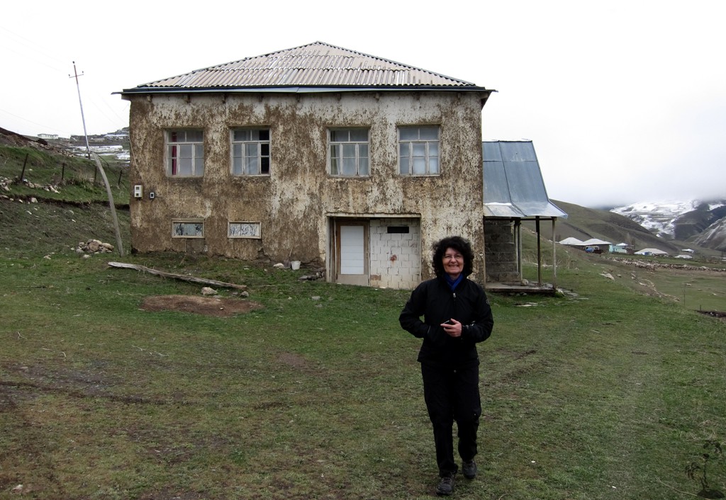
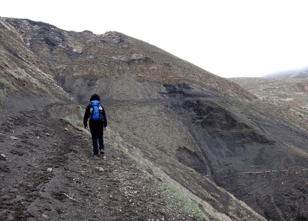
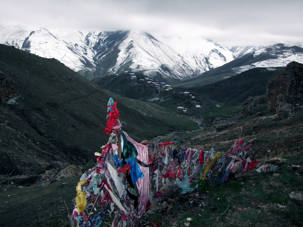
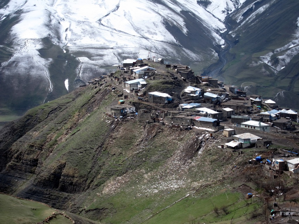
The Walk: We were mentally prepared for some high-summit mountain hike, but not for the bad weather that engulfed Azerbaijan in mid-April. So we were left to exploring the village of Xinaliq - which at 2200 meter elevation requires a day of acclimatization anyway - and some easy hiking to some nearby sights.
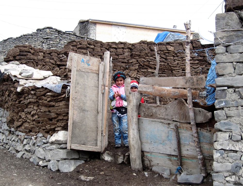
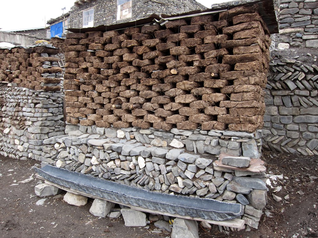
The village in itself is worth the trip, and becomes the more
fascinating the more one learns about its history and present
lifestyle. The shepherds of Xinaliq move to "greener pastures" in
the south of Azerbaijan during the winter months, taking the girls
but not the boys with them. So the boys go to school, while the
girls return in spring or summer when the school is closed for the
holidays.
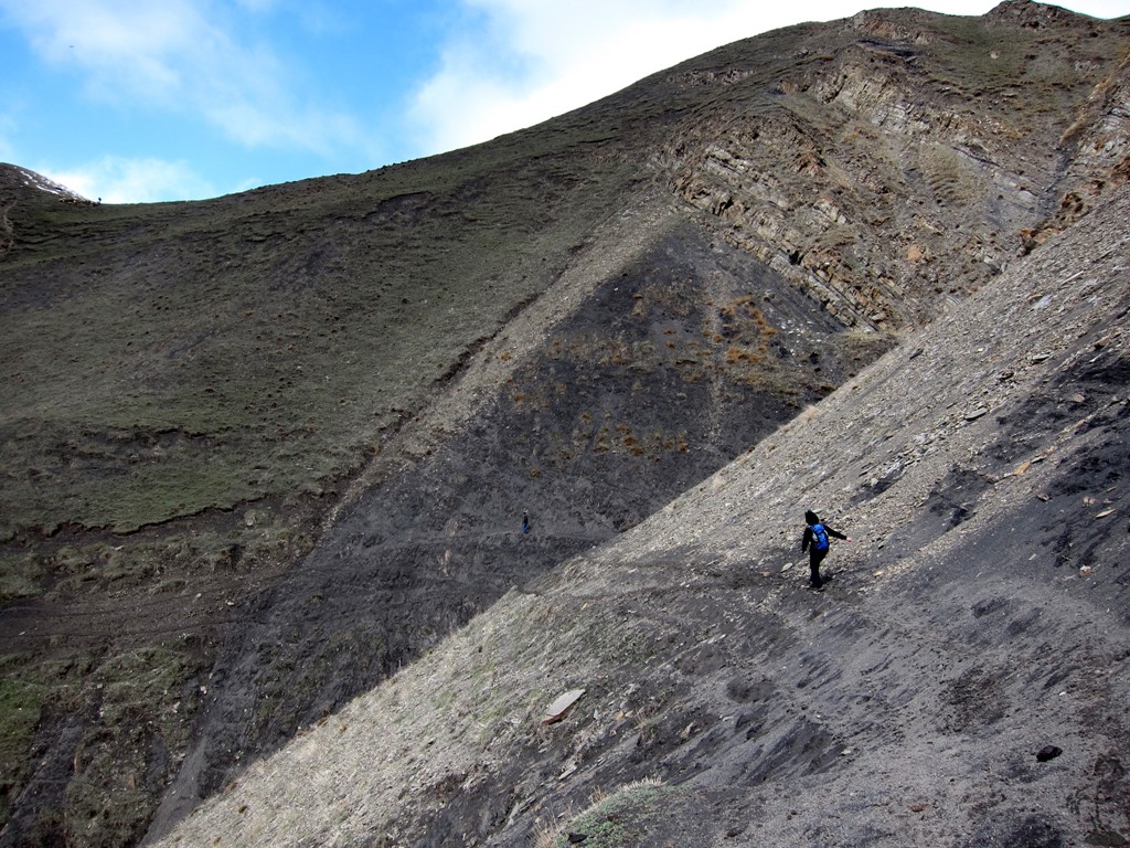
The hike starts at the guesthouse of Xinaliq (see "the road to Xinaliq" on wikiloc), leads through some streets of Xinaliq and on to some cave-like monument with some religious significance, and back.
| Maximum altitude: | 2358 meter |
| Minimum altitude: | 2059 meter |
| Cumulative height: | 389 meter |
| Cumulative length: | 5.5 kilometer |
| Difficulty | easy |
| Time: | 2 hours |
| Date of this record | April 2013 |
| Download GPS info: | Xinaliq Walk |
General location and approach: Go from Baku north to Quba on the Autobahn. From there a 4WD is advisable for Xinaliq.
Other Information: A good guidebook is the one by Mark Elliott.
Google Earth: You may also view the trail in 3D when viewing it in Google Earth, which you need to have installed on your computer. The 3D perspective allows a good preview of gradients, steepness, possible views and is generally helpful when planning a trip.