PALM TREE PRODUCTIONS
Around Lake Issyk-Kul, Kyrgyzstan![]()
![]()
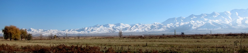
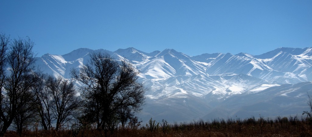
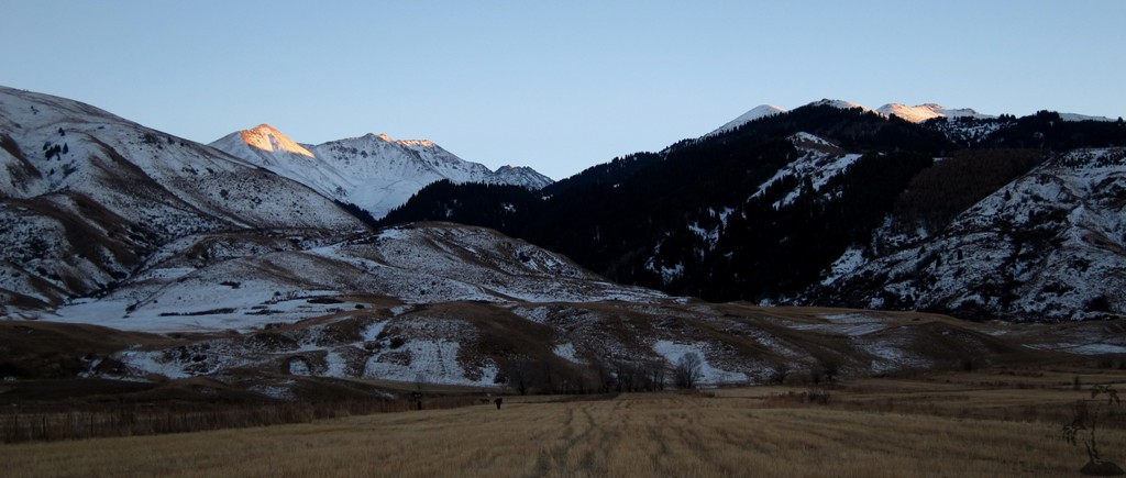
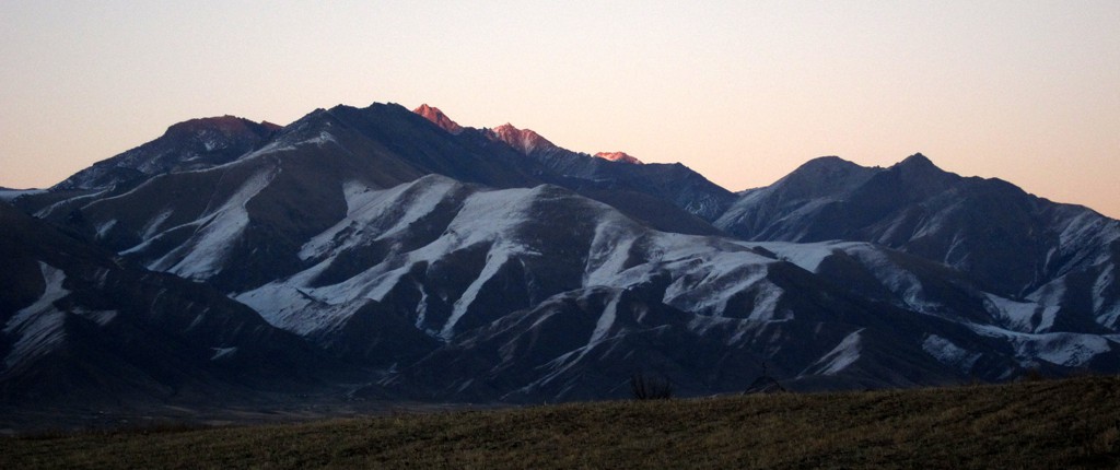
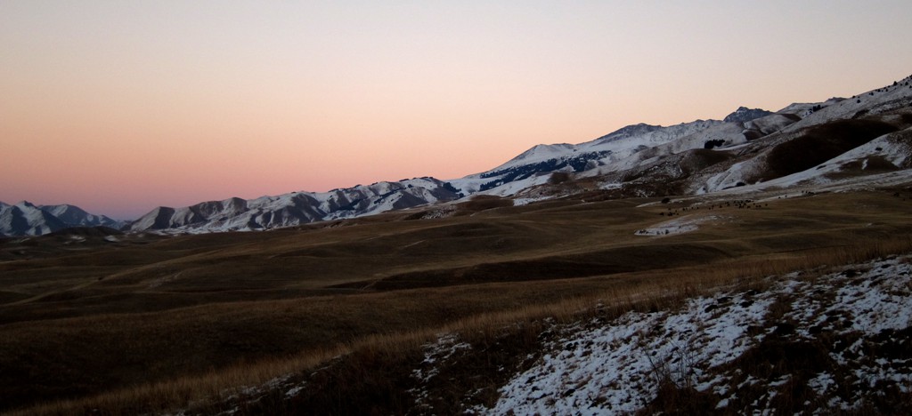
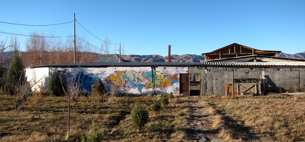
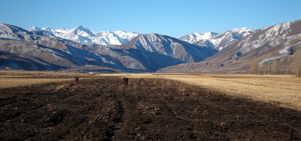
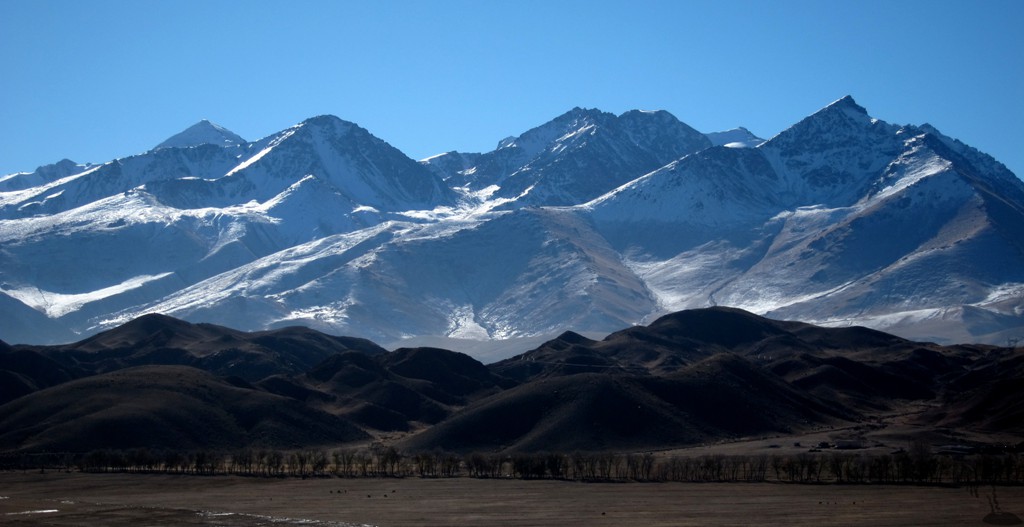
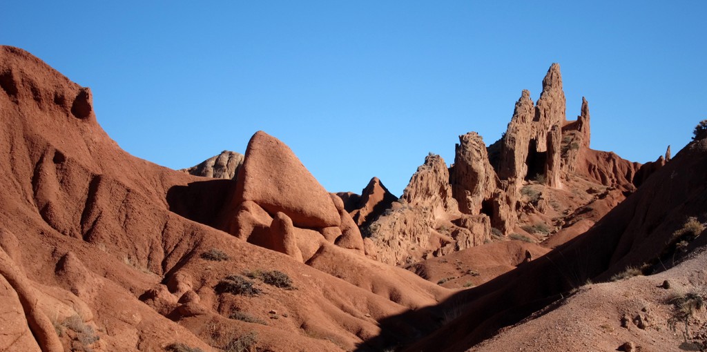
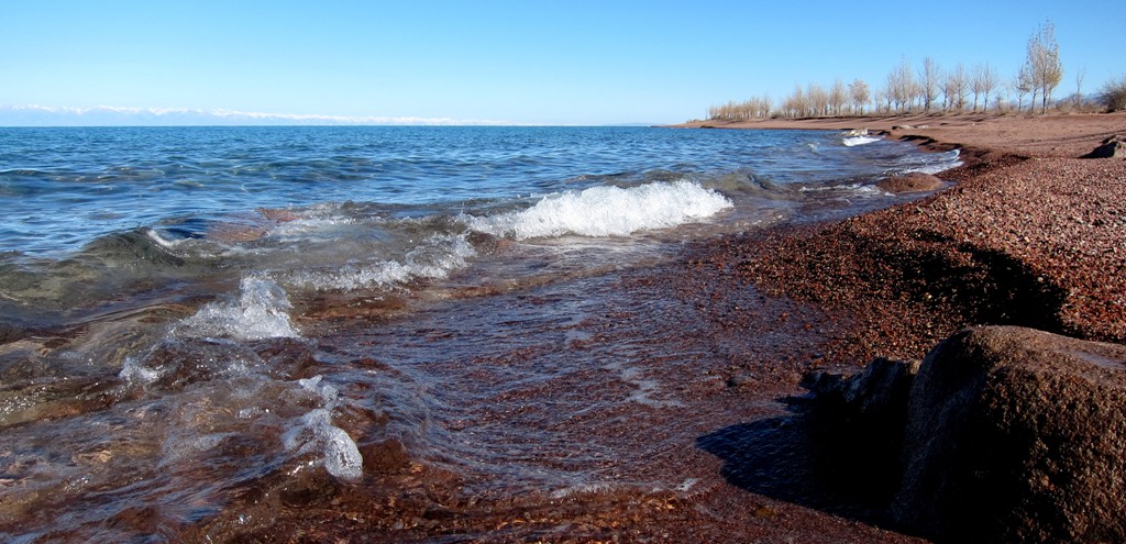
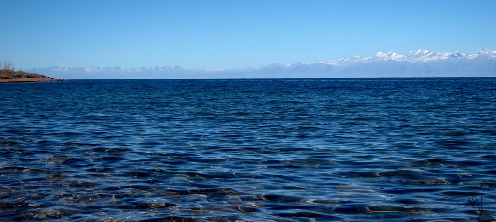
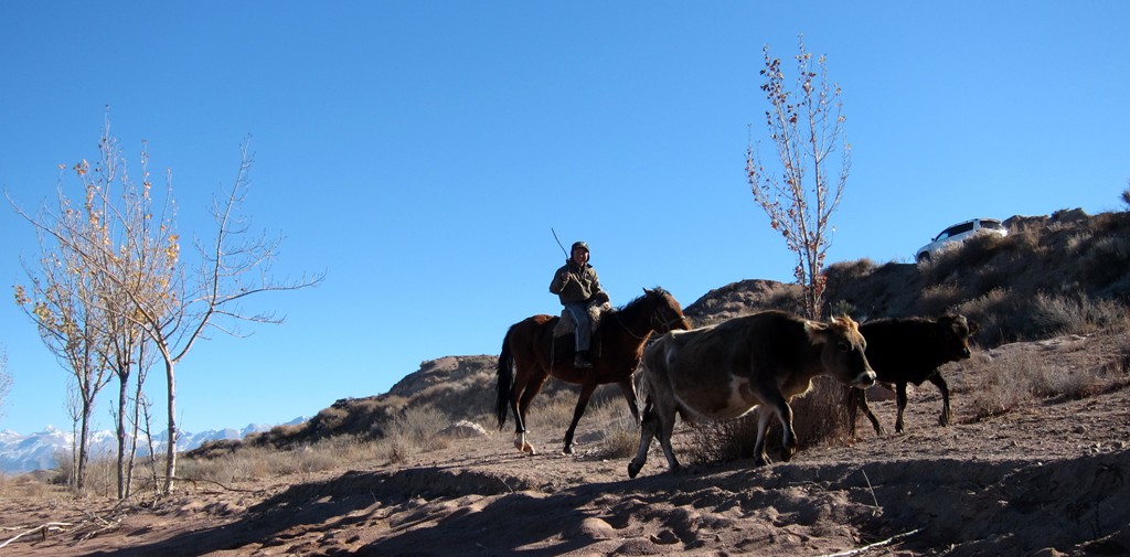
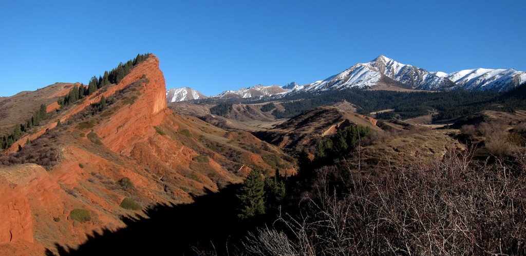
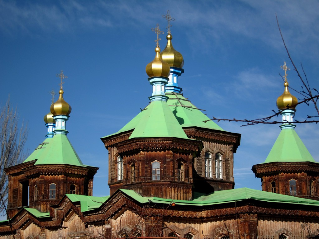
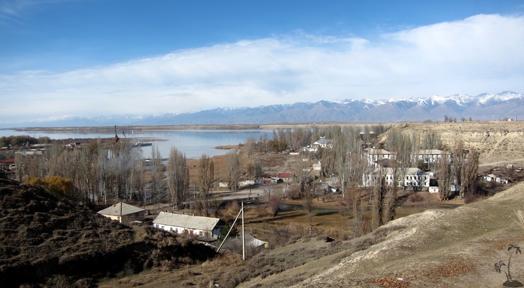
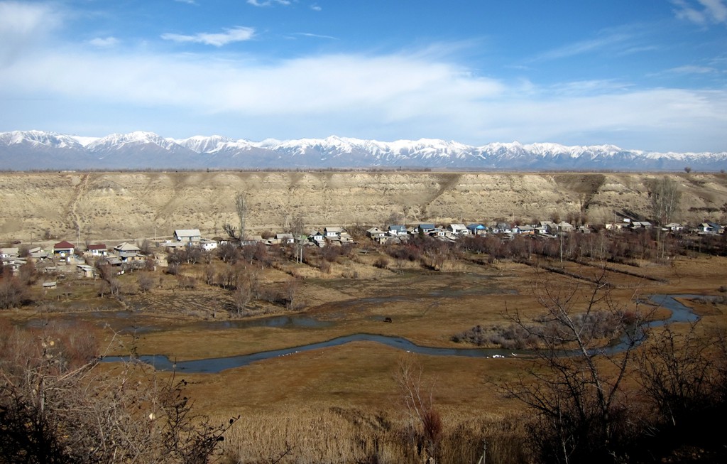
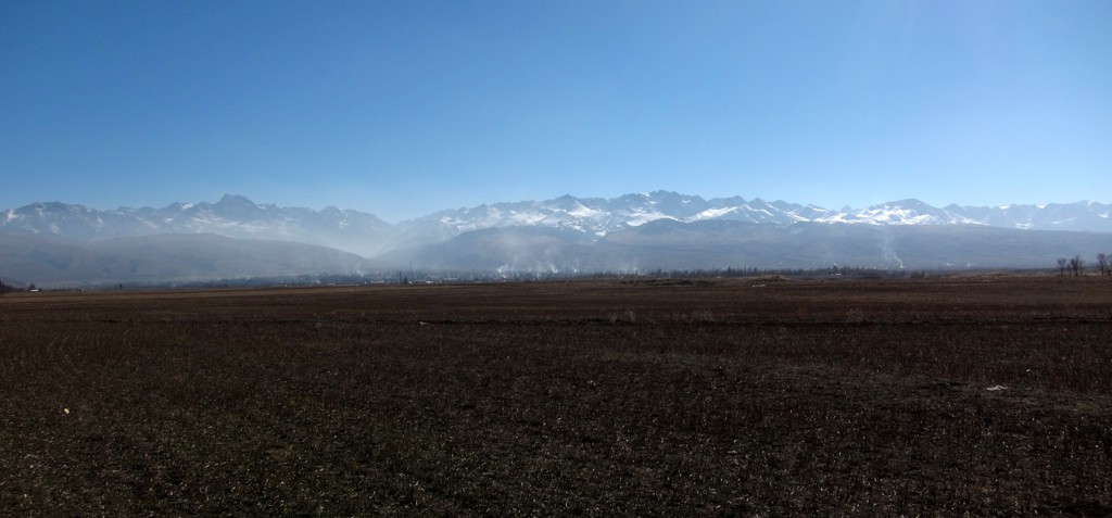
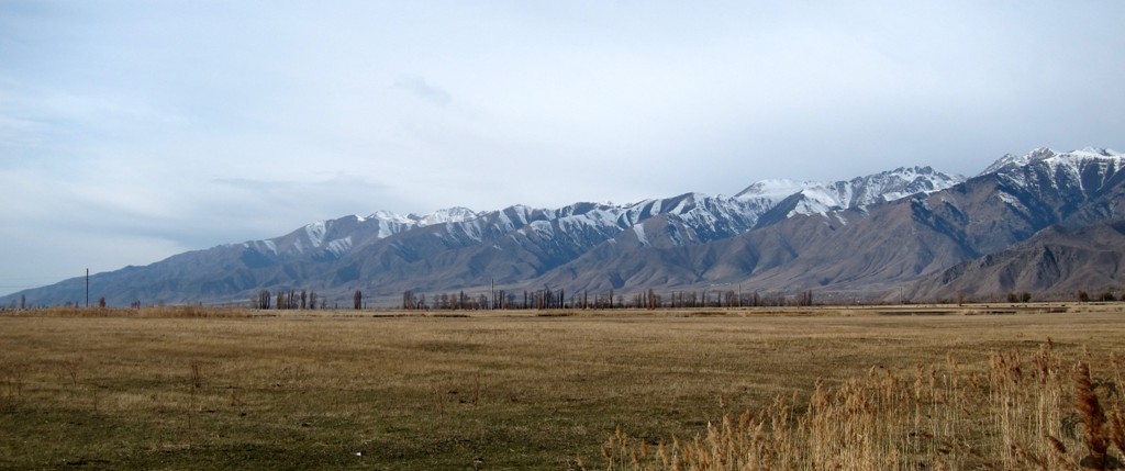
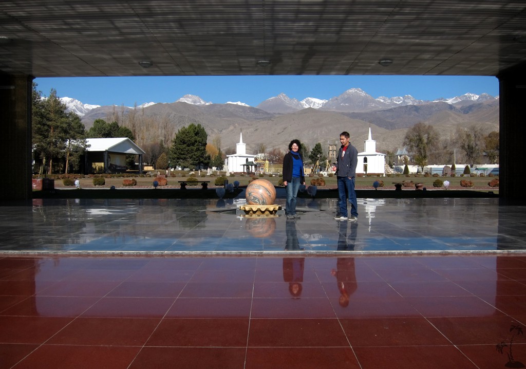
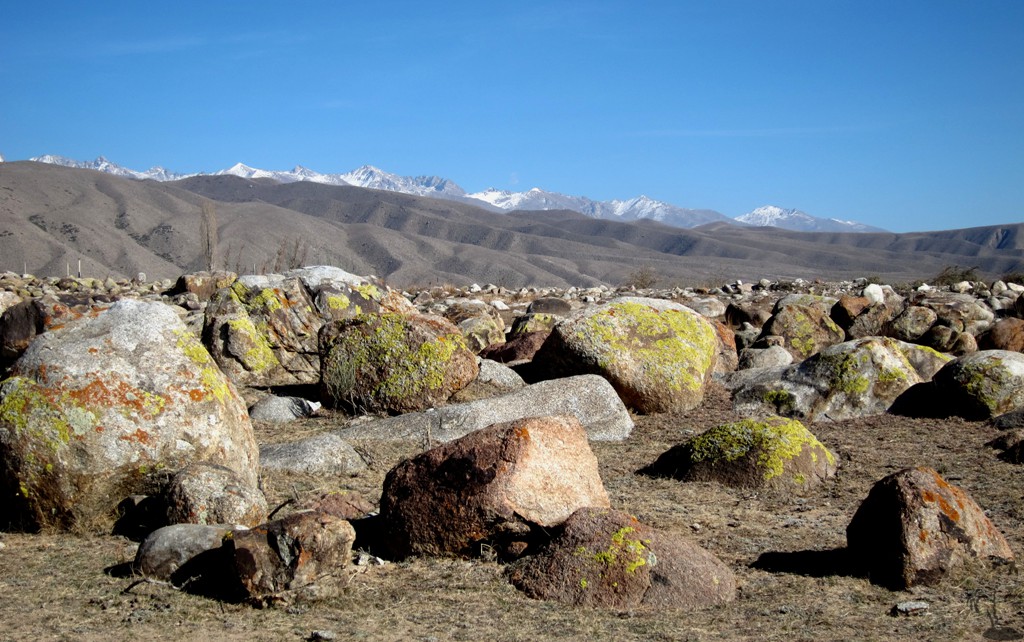
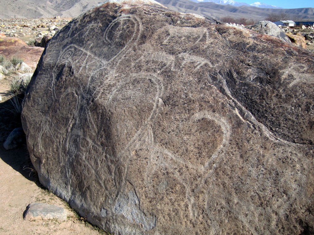
Summary: The regular camera picture formats are not adequate to capture the wide expanse of Kyrgyzstans plains and mountains. Kyrgyzstan is a photographer's dream.
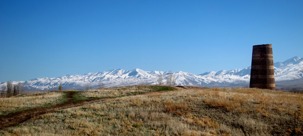
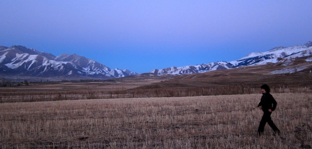
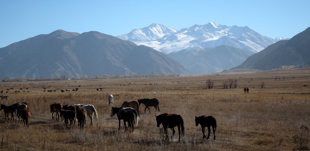
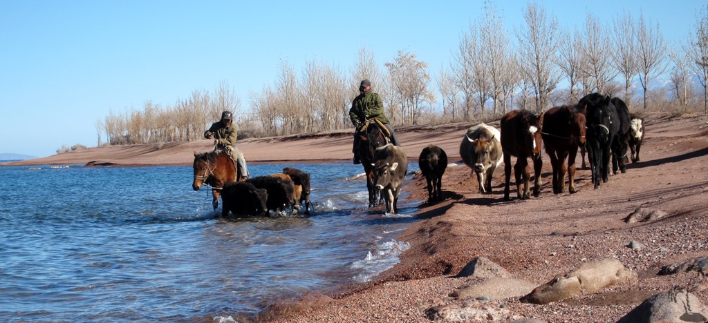
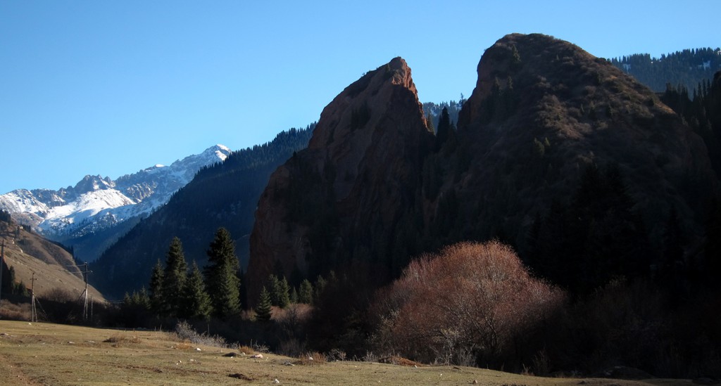
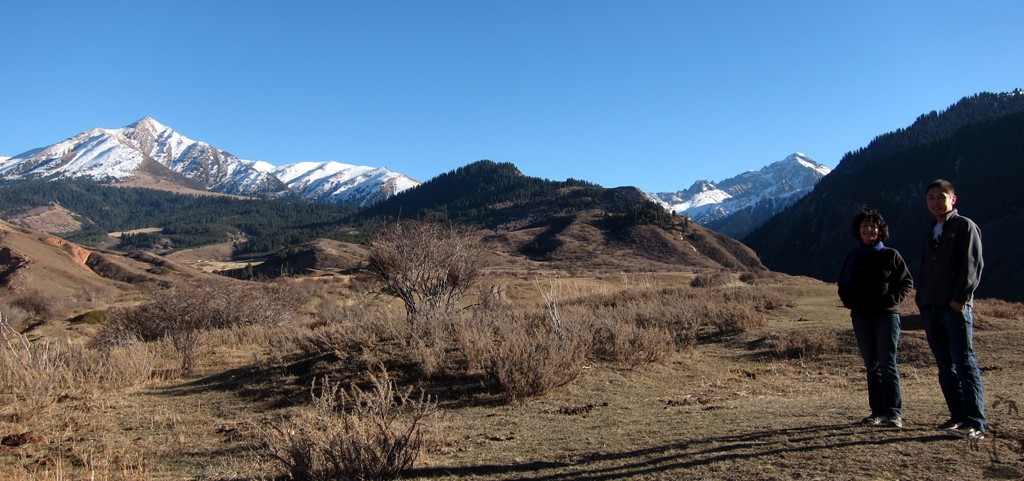
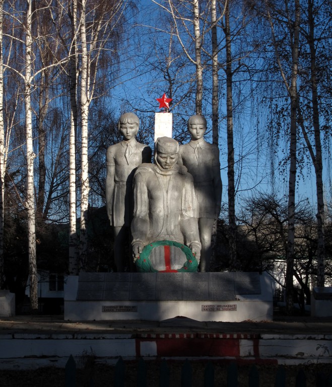
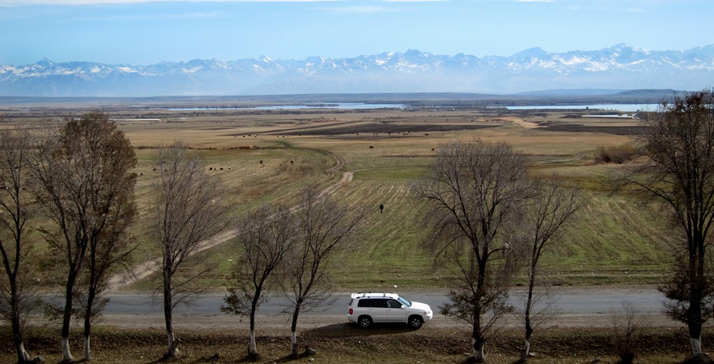
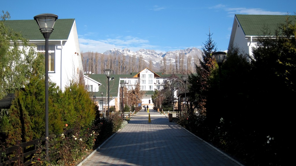
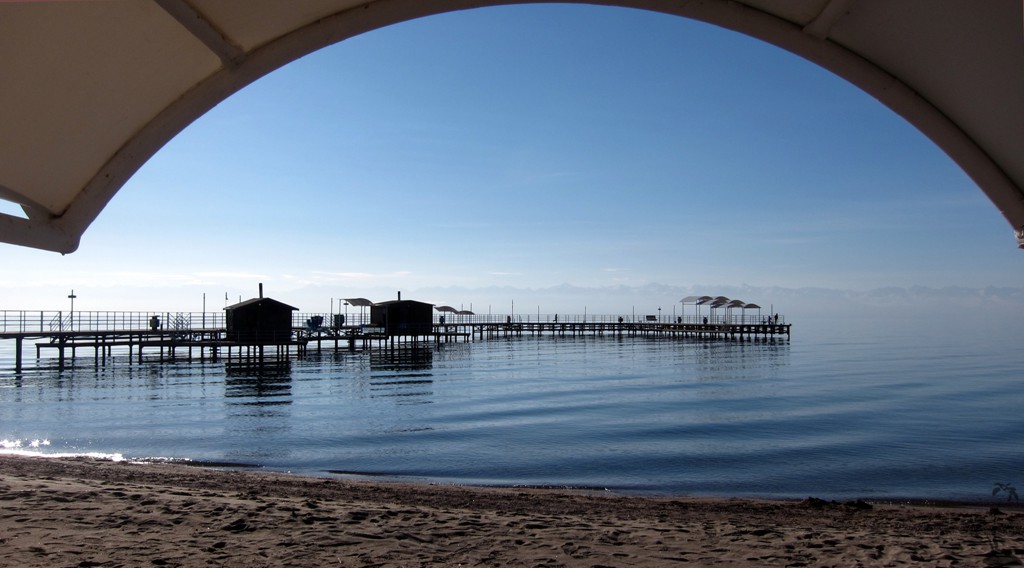
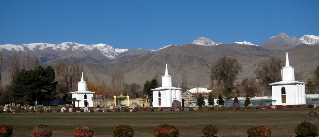
We had to be in Kyrgyzstan, and arranged to arrive a few days early. It was too cold in November to plan any longer hikes, but the drive around Lake Issyk-Kul and back to Bishkek was an excellent introduction to Kyrgyzstan and its mountains. It has been snowing in the mountains and the weather was bright and sunny providing glorious views.
The rountrip took us 4 days, which was just right to sample the many sights marked as waypoints.
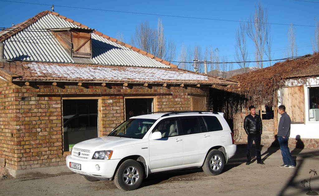
The Drive: We start the trail at Ashu guesthouse, in order not to double-track too many of the coordinates. The actual journey is likely to start and end in Bishkek, and is about 900 kilometer
| Maximum altitude: | 2027 meter |
| Minimum altitude: | 736 meter |
| Cumulative height: | 3313 meter |
| Cumulative length: | About 900 kilometer |
| Difficulty | easy |
| Time: | 4 days |
| Date of this record | November 2012 |
| Download GPS info: | Around Lake Issyk-Kul |
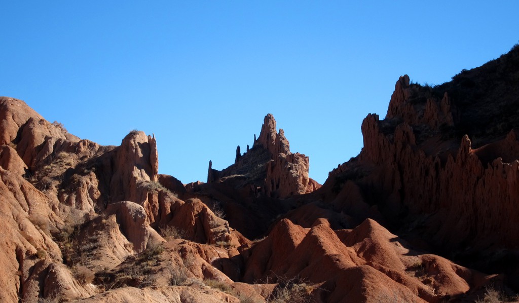
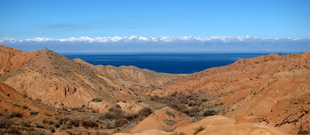
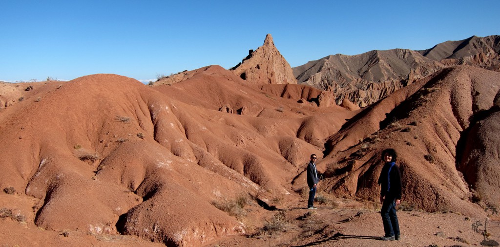
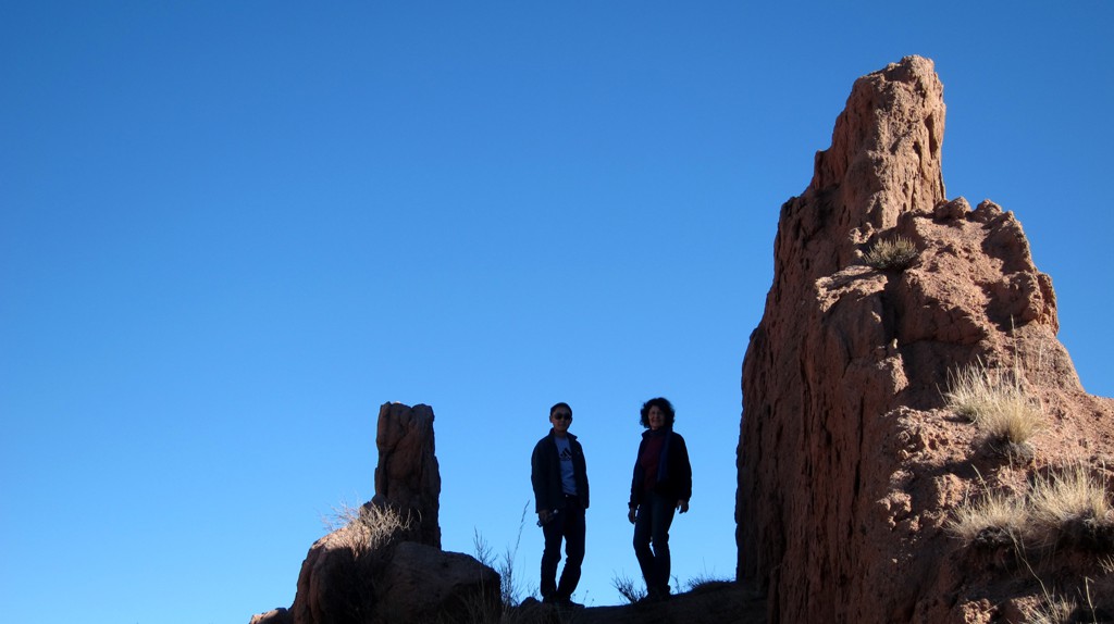
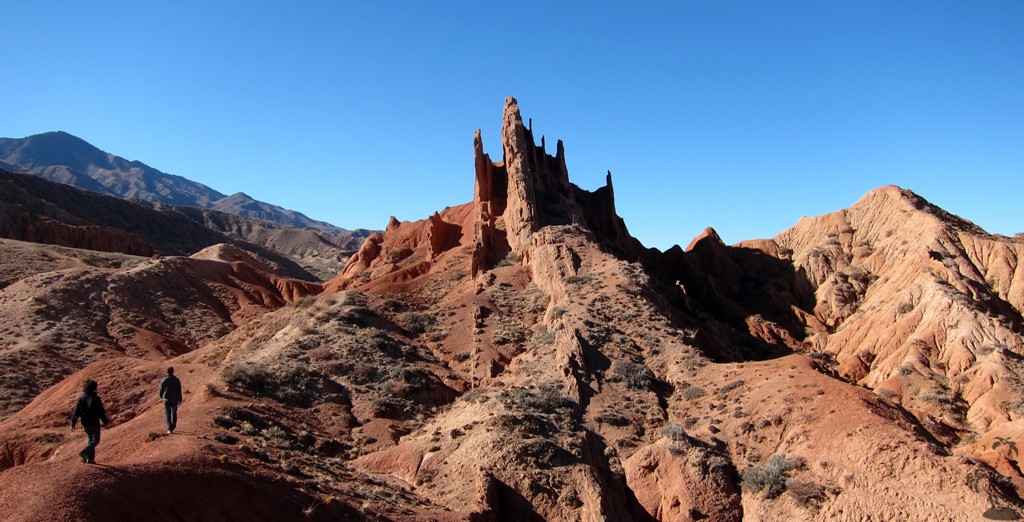
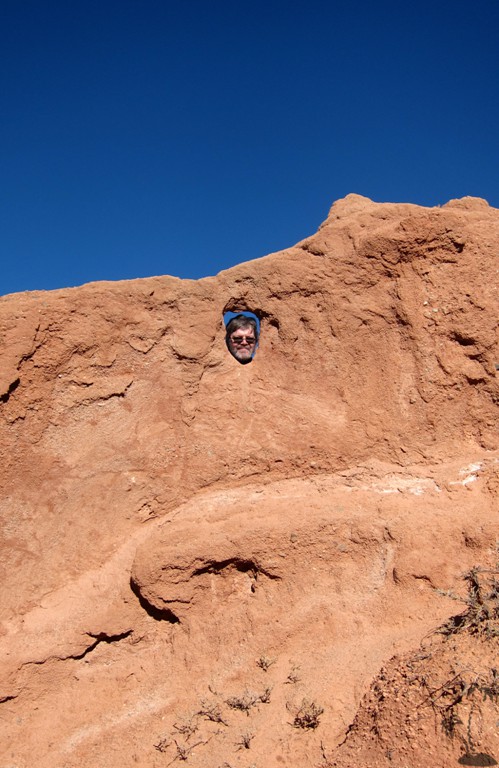
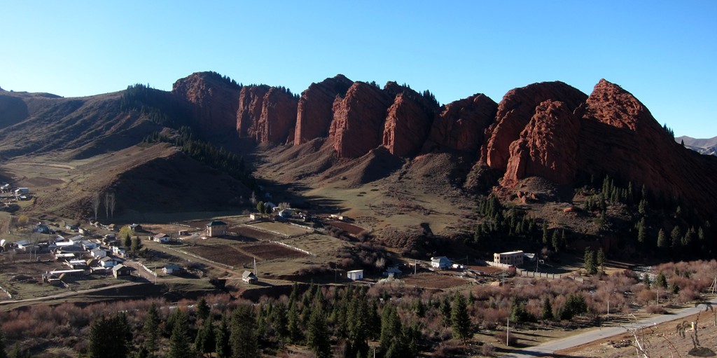
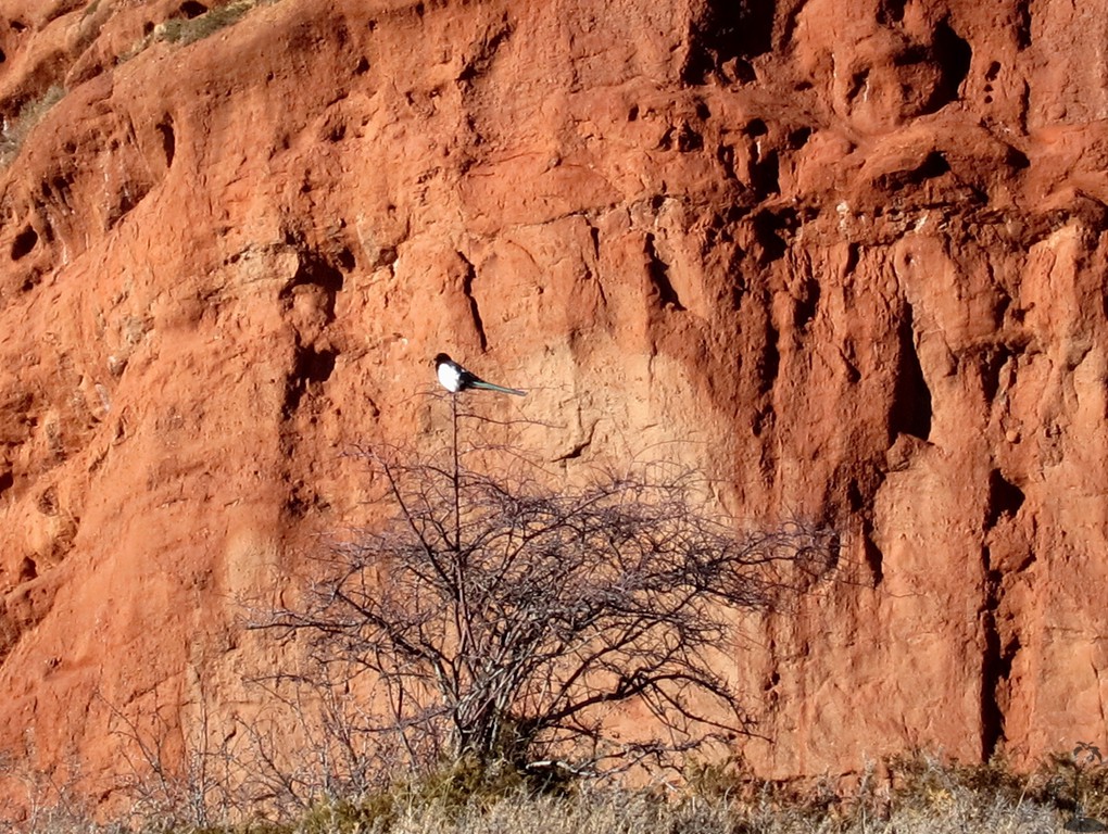
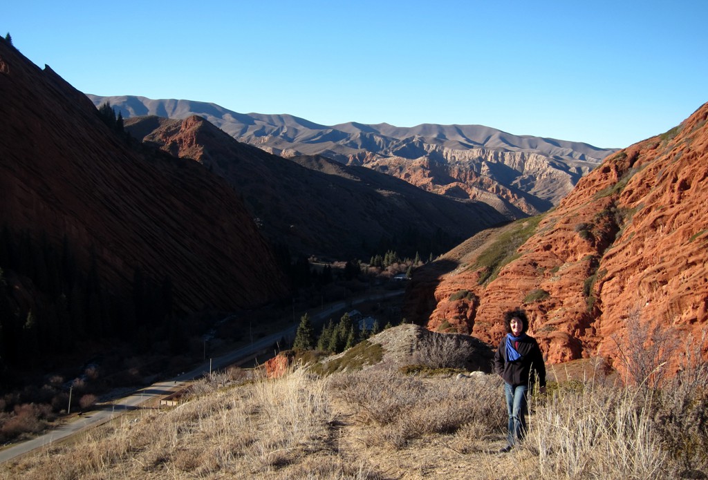
The Hike to the Fairytal Canyon: This is a short hike to some bizarre sandstone formation - absolutely worthwhile if you have one hour or two to spare. Have a picnic at the Lake when you are done. To shorten the hike, you can drive into the canyon. THis reduces walking to less than 2 kilometers - thoughit may well be possible to soend half a day exploring the area.
| Maximum altitude: | 1765 meter |
| Minimum altitude: | 1622 meter |
| Cumulative height: | 145 meter |
| Cumulative length: | 5.5 kilometer |
| Difficulty | easy |
| Time: | at least one hour |
| Date of this record | November 2012 |
| Download GPS info: | Fairytale Canyon |
General location and approach: Kyrgyzstan
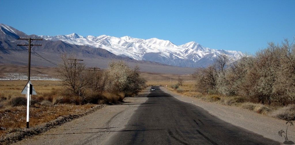
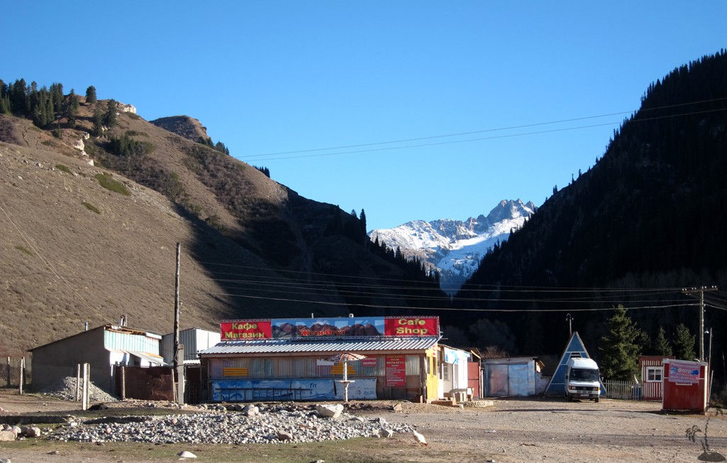
Other Information: The road is asphalt throughout, old but without potholes. There is an alternative autobahn between Bishkek and the turn-off to Ashu.


GPS and trailmaps: The map and
trailinformation is generated by
![]() based
on GPS information collected from the actual hike. Waypoints
can be downloaded to a GPS device from Wikiloc. If necessary, use
GPSBabel to
convert GPS data to different formats. For more
hike descriptions by Palmtreetreeproduction, browse this
website or visit Wikiloc
and search for "Palmtreeproduction". You may also find
nearby trails from other authors.
based
on GPS information collected from the actual hike. Waypoints
can be downloaded to a GPS device from Wikiloc. If necessary, use
GPSBabel to
convert GPS data to different formats. For more
hike descriptions by Palmtreetreeproduction, browse this
website or visit Wikiloc
and search for "Palmtreeproduction". You may also find
nearby trails from other authors.
Google Earth: You may also view the trail in 3D by viewing it directly in Google Earth. You need to have Google Earth installed on your computer. Activate "wikiloc"in the "Gallery" menu in Google earth.