PALM TREE PRODUCTIONS
back to Albania site back to hikes and climbs back to Locations and Travel
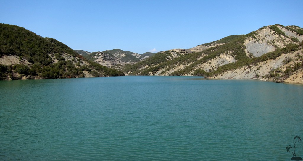
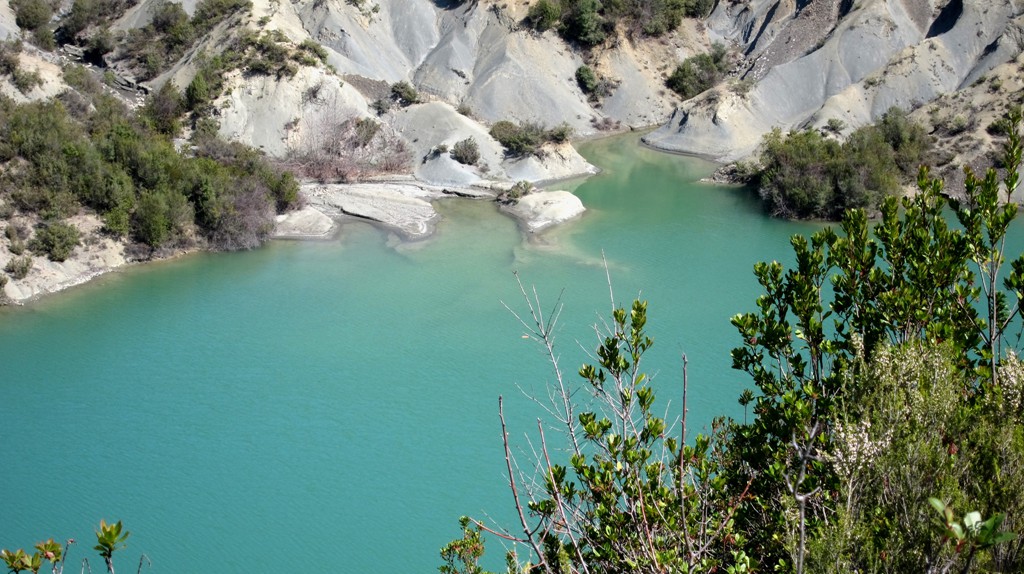
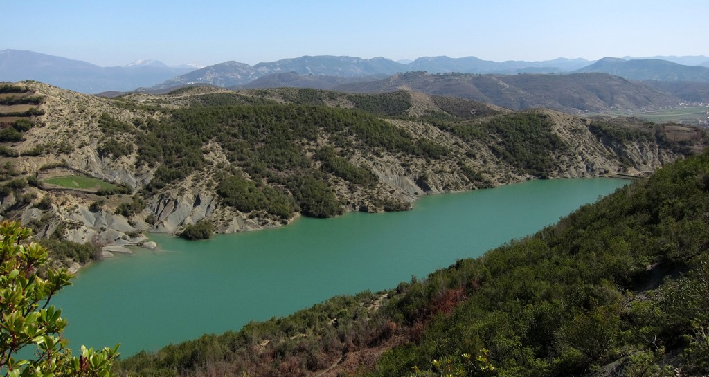
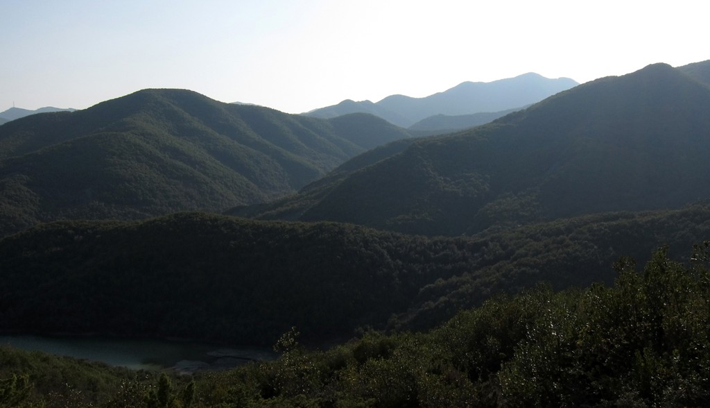
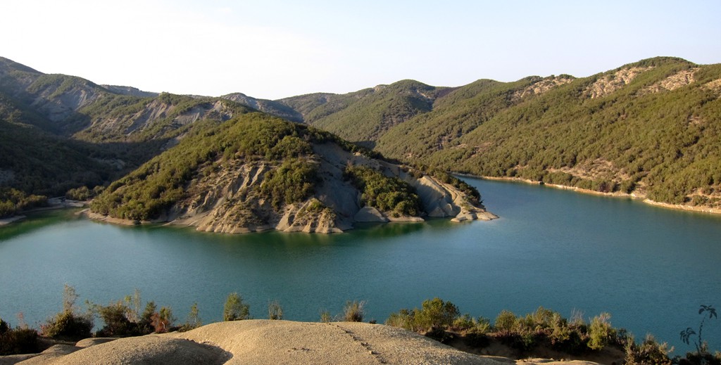
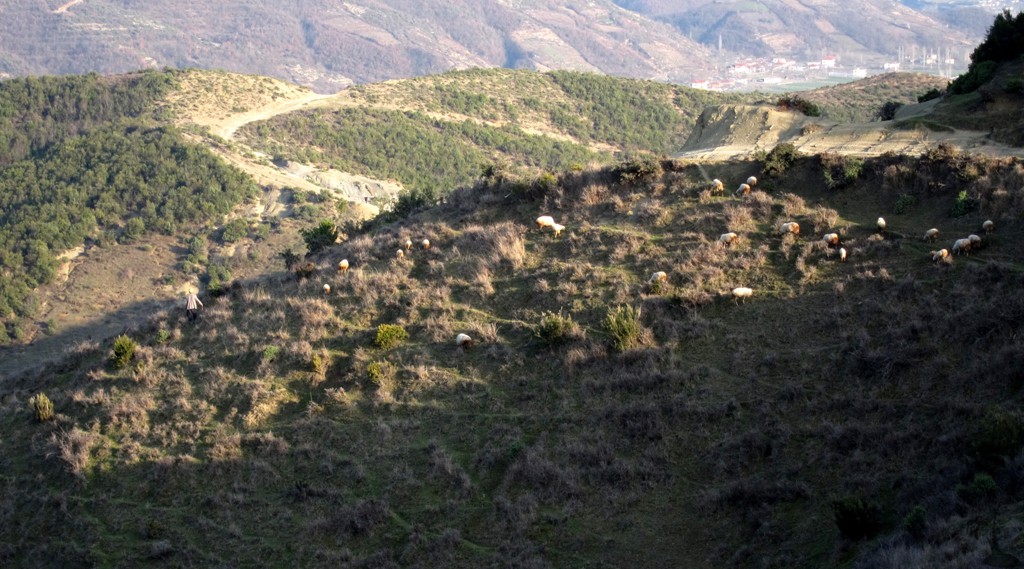
Beautiful Lake Alltata and Mal Zajs![]()
Summary: Not very high-altitude, but a hike in very unspoilt environment with
some challenging bits. From the reservoir of the village Fushas near
Baldushk the trail it climbs to the highpoint of the area, Mal Zajs.
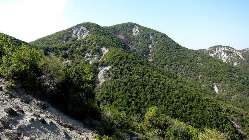
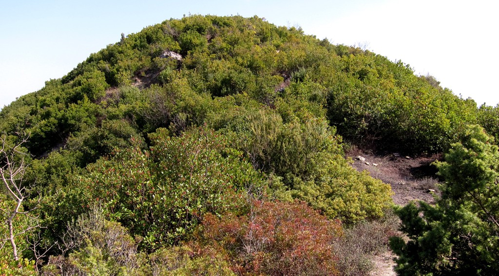
Mal Zajs is heavily wooded, and the summit has no views, so you may
as well skip it. But then, when will you be as close to it again? We
tried two ways to the highest point (waypoints summit 1 and summit
2), and the difference in altitude was one meter. Perhaps you may
want to just bushwhack from one to the other, and you may find
another point that is yet another meter higher.
From the summit area, the trail makes a big loop to descend to
beautiful Lake Alltata (also a reservoir). When you think you are
done, you have to climb another 100 meter or more, in an large
circle, to finally descend to where you came from.
The Hike:
| Maximum altitude: | 471 meter |
| Minimum altitude: | 169 meter |
| Cumulative height: | 478 meter |
| Cumulative length: | 10.88 kilometers |
| Difficulty | moderate |
| Time: | 5 hours |
| Date of this record | March 2012 |
| Download GPS info: | Alltata |
General location and approach: The hike is very close to Tirana and Petrelë, and starts at the reservoir of the village Fushas near Baldushk.
Other Information: There is the possibility to shorten the hike. Having
descended from the summit pyramid and passed our cautionary
waypoints, you arrive on a sort of pass with cross-roads. A
wide mule-trail descends to the right, leading back to the
reservoir and Fushas. This is the old road connecting Fushas
and Pezë, but it is no longer suitable for any vehicle.
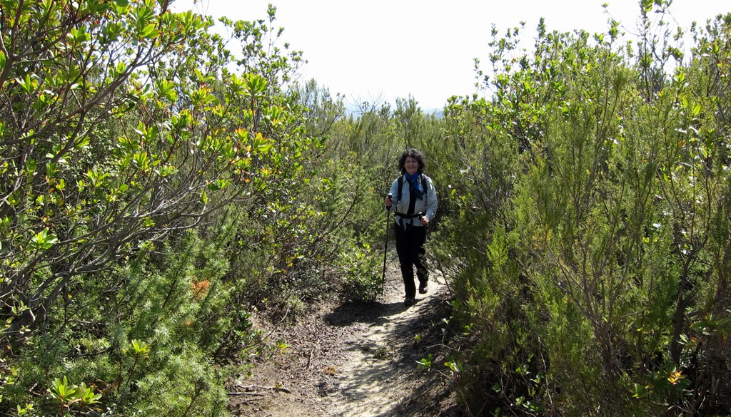
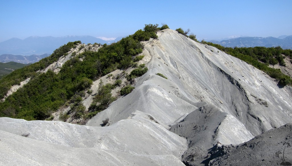
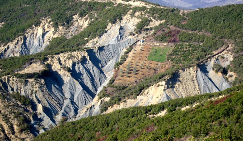
The hike, while generally easy, passes some serious drops,
mainly due to erosion. Especially the descend from Mal Zajs
leads through steeply eroded terrain (see waypoints
'caution'), and the trail is not immediately visible all the
time. This makes the hike unsuitable for children.
When reviewing the hike at home on google earth, we saw a
possible alternative to the trail sections marked with
caution. From the summit area of Mal Zajs, go south-west,
until you reach a wider path which you take to the right. It
will join the GPS trail below the caution-bit. But we
haven't done it, and you should check it out on google
first.
Google Earth: You may also view the trail in 3D by clicking "view in Google Earth" when on Wikiloc. You need to have Google Earth installed on your computer.