PALM TREE PRODUCTIONS
back to Albania site back to hikes and climbs back to Locations and Travel
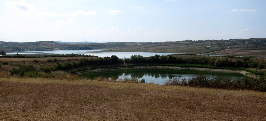
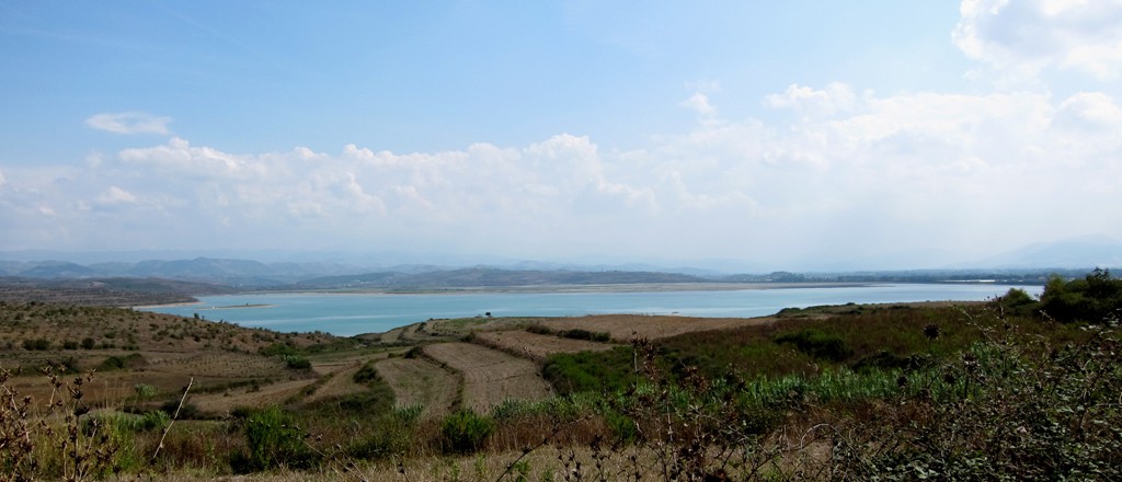
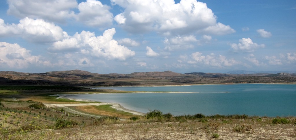
For those who have seen it all - Belsh
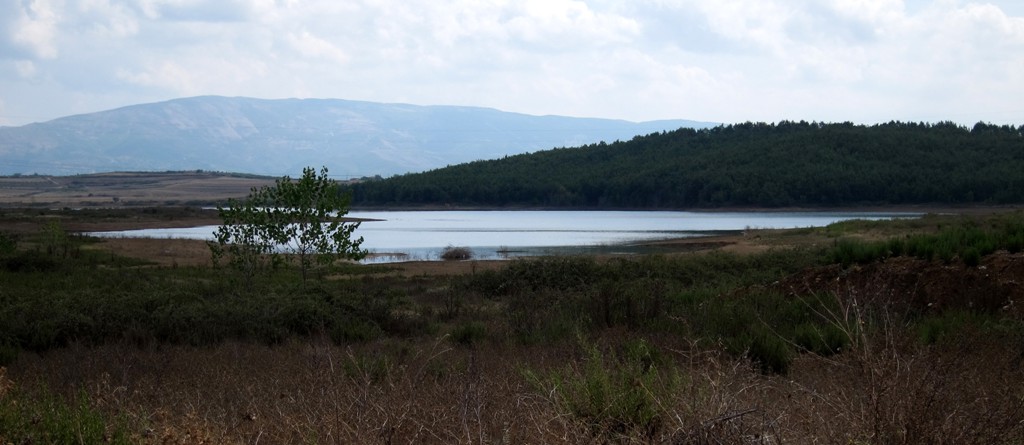
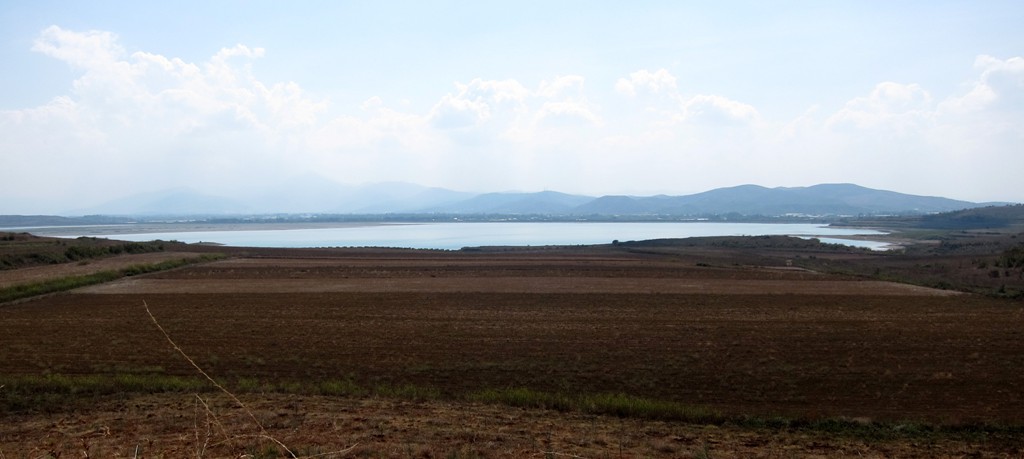
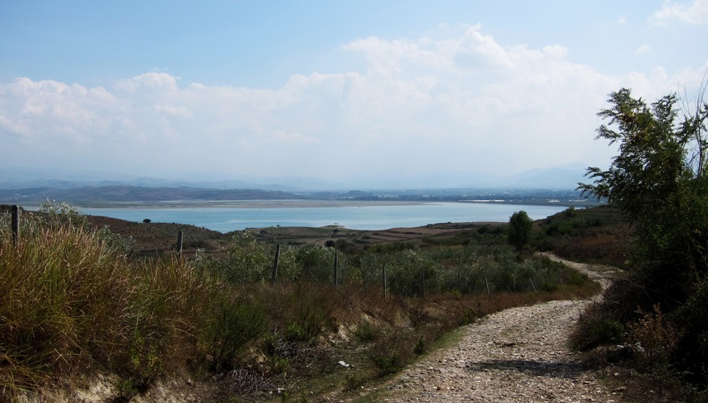
Lakes![]()
Summary: The small town of Belsh sits in the middle of many small lakes. It is mainly agricultural land, and there seems to be no immediate reason for the tourists to venture here. But sometimes, when the weather is not quite good enough to visit dramatic mountains, or if one tires of the beach...
The trail starts at Cerrik, and is asphalt until Belsh. Shortly after, it turns into a gravel road until Dragot. In Dragot, turn right unto an old farmroad. The road can get very narrow, with brambles at each side. Unlike leafy branches, the thorny brambles may get into your car's paintwork. You will reach the village of Kosovë, and turn onto an old road towards the Thana reservoir. As so often, because the road crosses two districts, it is in very bad repair, but manageable with care and some ground clearance. You will reach the Lushnje-Berat road near the village of Koçai.
| Maximum altitude: | 199 meter |
| Minimum altitude: | 17 meter |
| Cumulative height: | 360 meter |
| Cumulative length: | 40 kilometer |
| Difficulty | moderate |
| Time: | 2.5 hours |
| Date of this record | September 2012 |
| Download GPS info: | Belsh Lakes |
General location and approach: The Belsh Lakes lie roughly in the middle of the triangle of Elbasan/Cerrik, Kucove/Berat, and Patos/Fier. Many approaches to Belsh are possible, and we selected the one coming from Cerrik - which also is the main commercial route plied with buses.
Other Information:

GPS and trailmaps: The map and trailinformation is generated by www.wikiloc.org, based on GPS information collected from the actual hike. Waypoints can be downloaded to a GPS device from Wikiloc. If necessary, use GPSBabel to convert GPS data to different formats. For more hike descriptions by Palmtreetreeproduction, browse this website or visit Wikiloc and search for "Palmtreeproduction". You may also find nearby trails from other authors.
Google Earth: You may also view the trail in 3D by viewing it directly in Google Earth. You need to have Google Earth installed on your computer. Activate "wikiloc"in the "Gallery" menu in Google earth.