PALM TREE PRODUCTIONS
back to Albania site back to hikes and climbs back to Locations and Travel
Picnic on Bukanik![]()
![]()
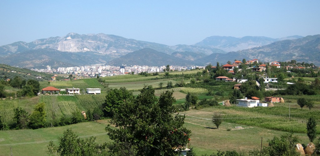
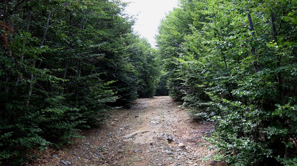
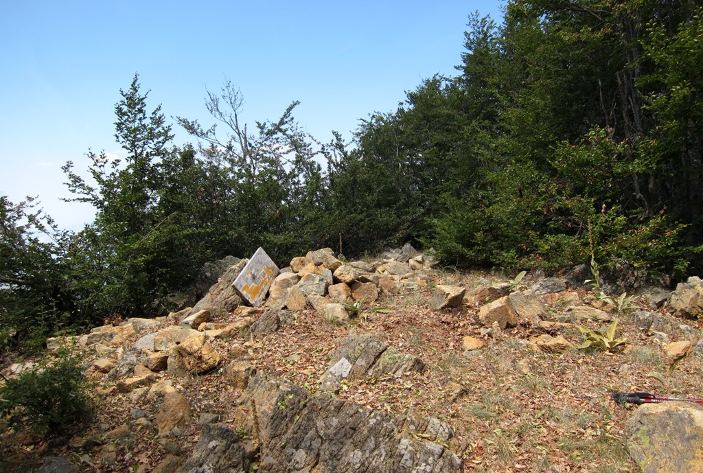
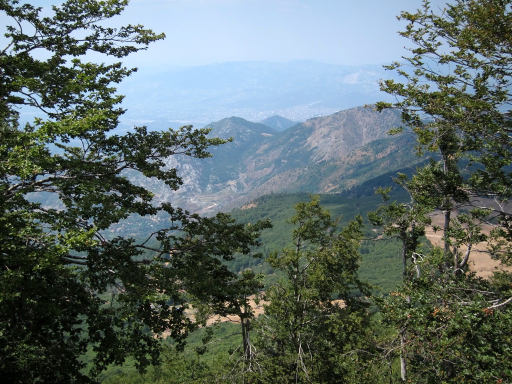
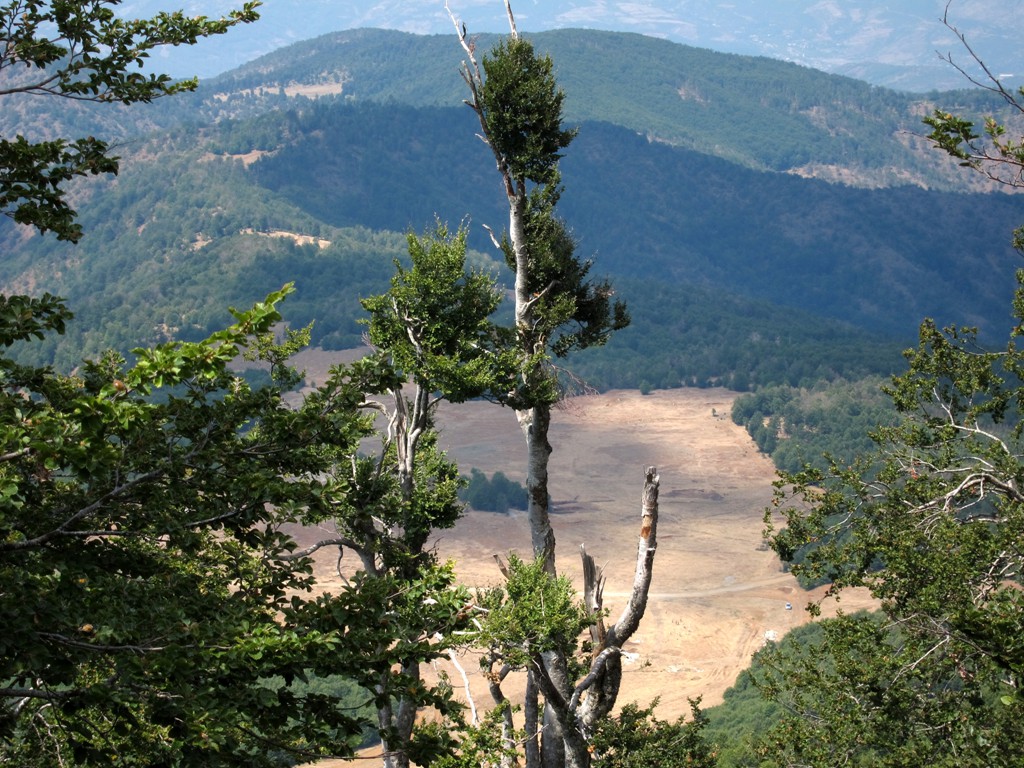
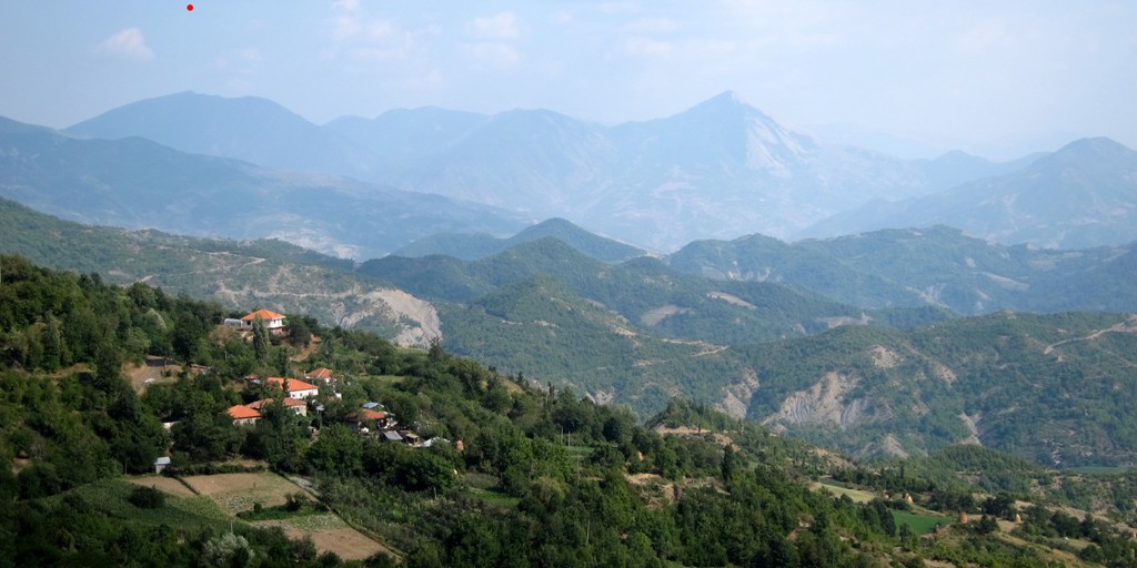
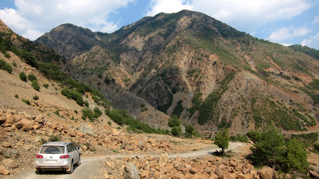
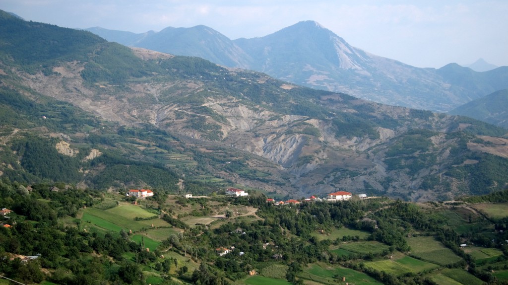
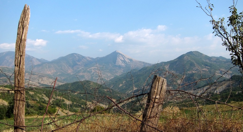
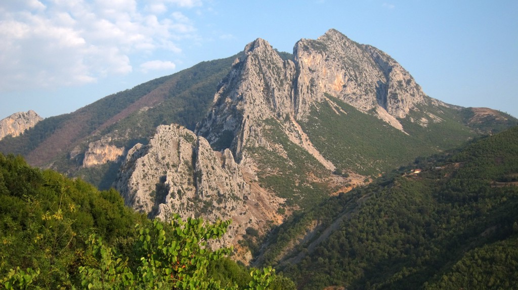
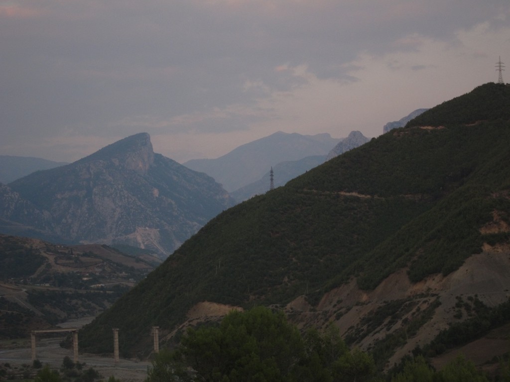
Summary: A hike to Maja e Bukanikut, the highpoint of the Mali i Shpatit (Shpat Mountain Range), followed by a long drive down to the Holta Gorge. From the summit of Bukanikut, one can see down to Elbasan and - depending on weather and visibility - the Adriatic Sea. Bukanik is for Elbasan what Dajti is for Tirana.
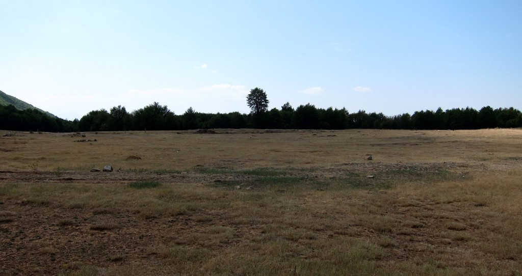
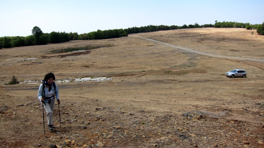
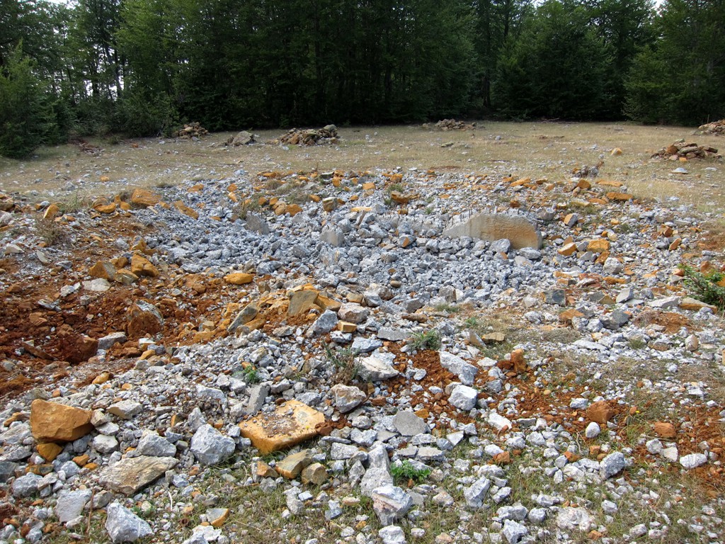
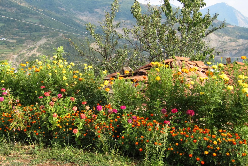
The Drive: It is best to take the asphalt road from Elbasan to Gjinar, a sort of mountain resort at 960 Meter altitude. Gjinar is signposted from Elbasan. See waypoint Gjinar. Driving through the village, turn left to Maja e Bukanikut and continue on a rocky road to a grazing area at 1500 Meter. Have a picnic here, or climb Maja e Bukanikut.
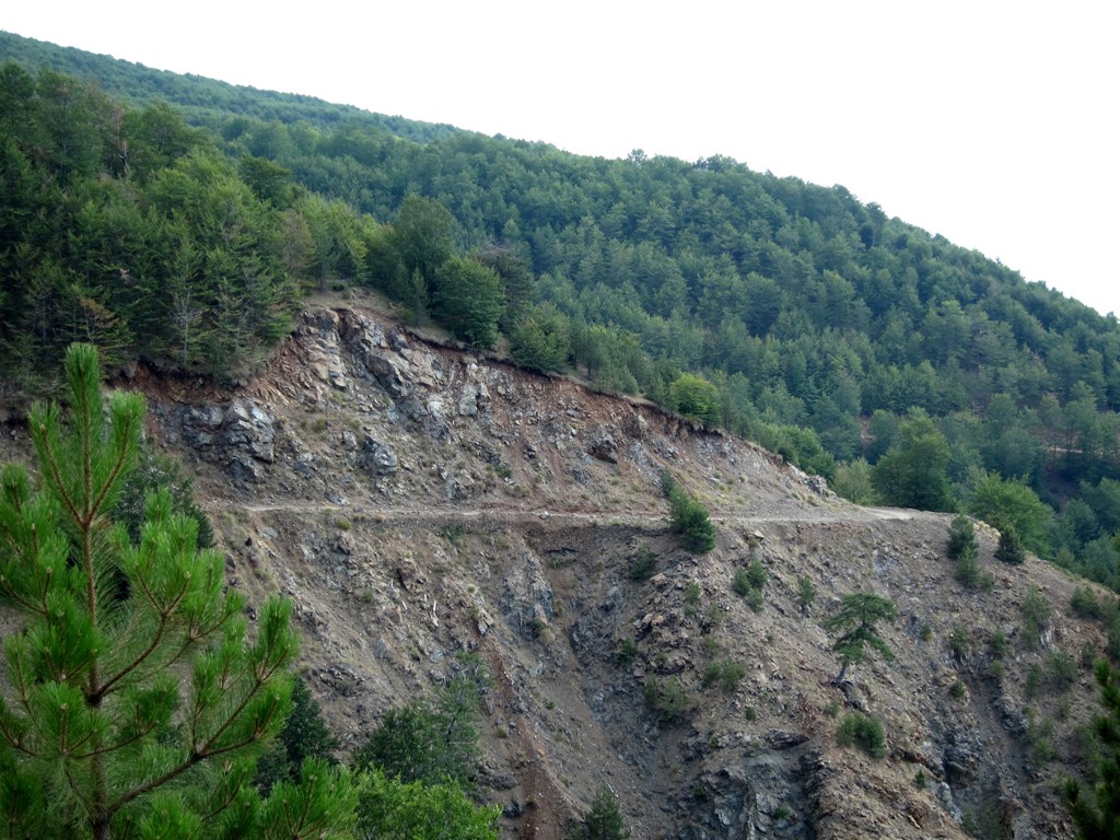
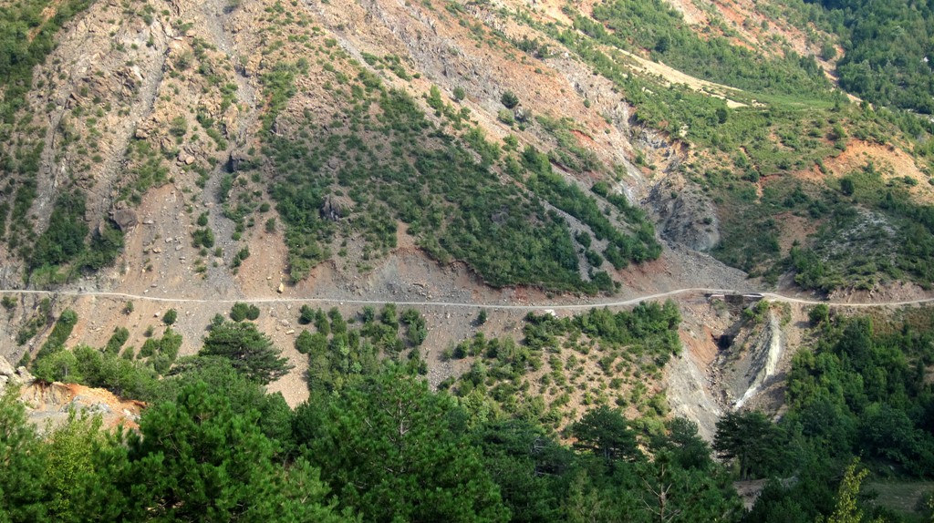
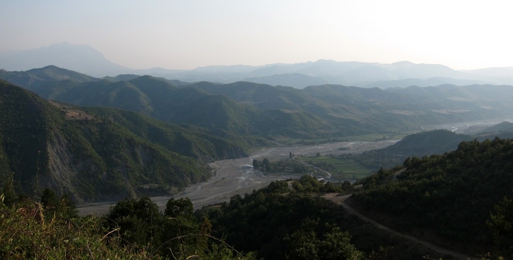
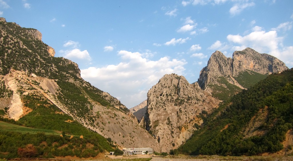
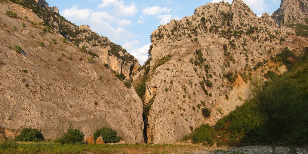
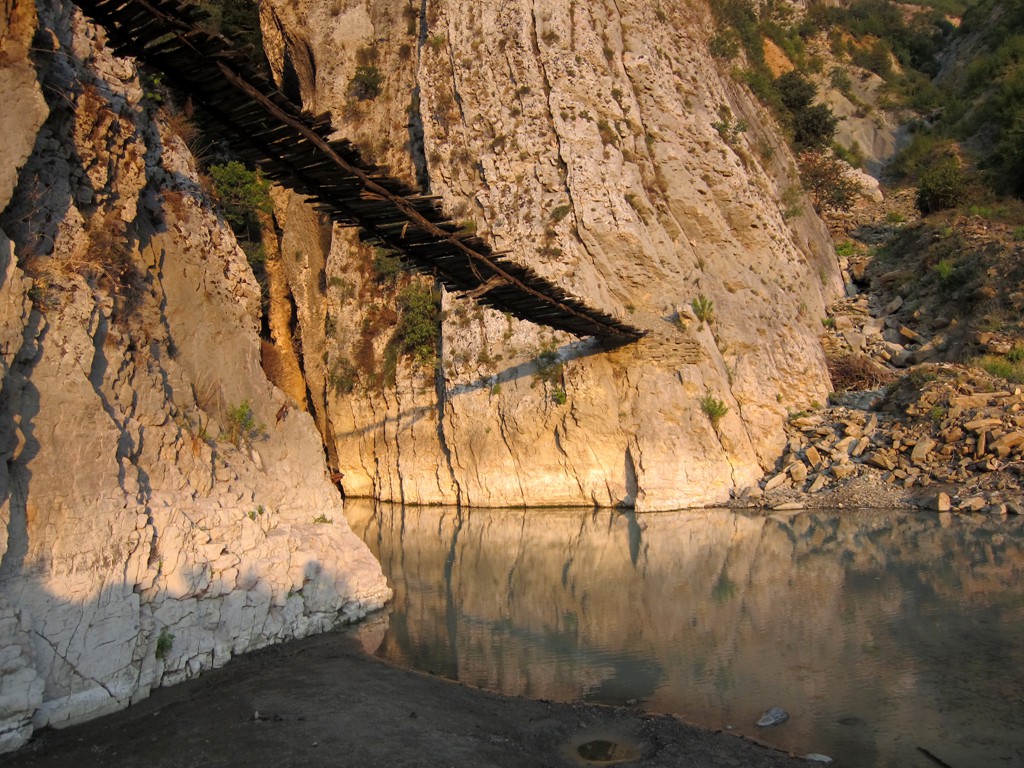
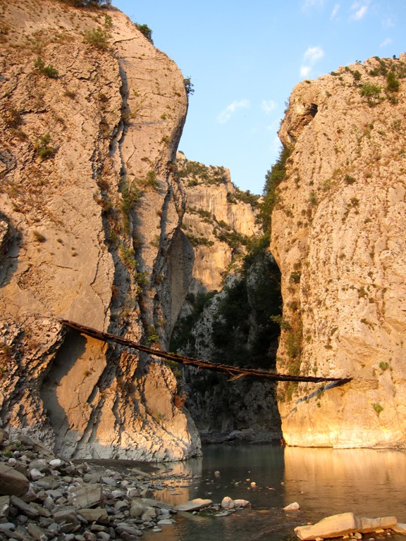
Return to Gjinar and proceed along a small road to Zavalline, the Holta Gorge, until you meet the Gramsh-Elbasan asphalt road.
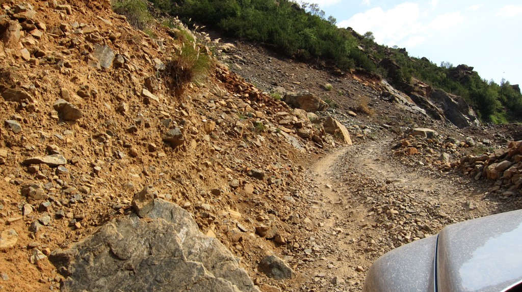
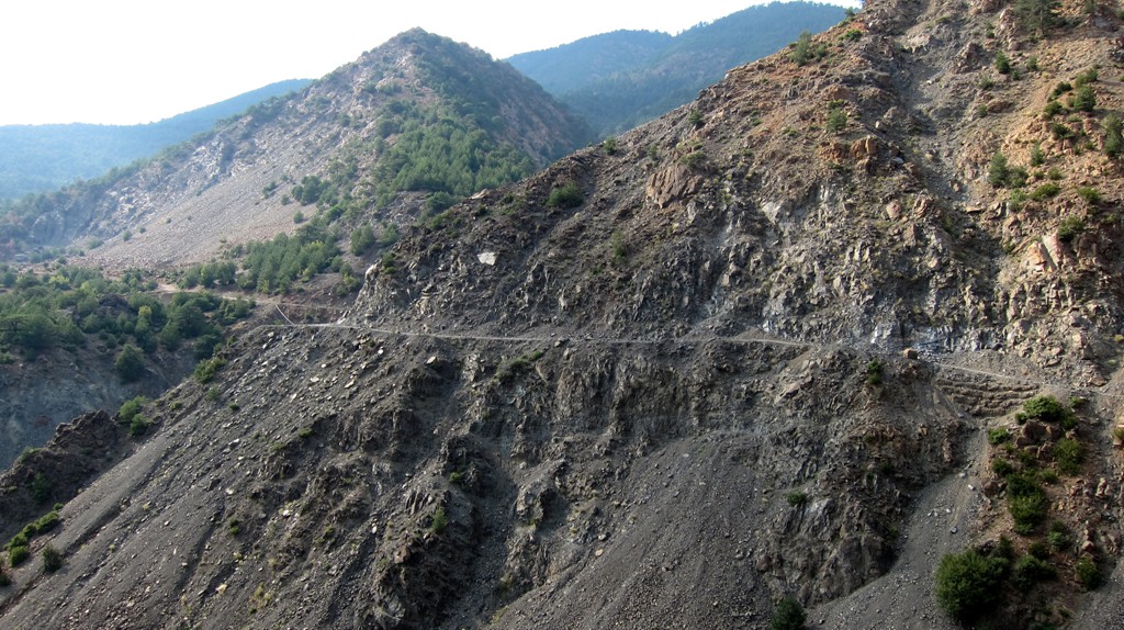
Some parts of this trail are in poor repair, and there is very little traffic. We met only one moving vehicle along the entire trail. From Zavalline, the road is better, and could be done in a regular car. The road to the Holta Gorge is damaged by the river, and you have to ford the river for which a 4WD was necessary in August 2012.
| Maximum altitude: | 1513 meter |
| Minimum altitude: | 171 meter |
| Cumulative height: | 2007 meter down |
| Cumulative length: | 46 kilometer |
| Difficulty | difficult |
| Time: | 4.5 hours |
| Date of this record | August 2012 |
| Download GPS info: | Bukanikut to Holta Gorge |
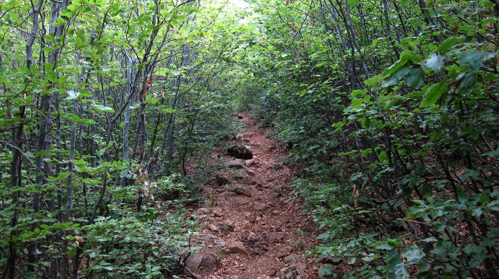
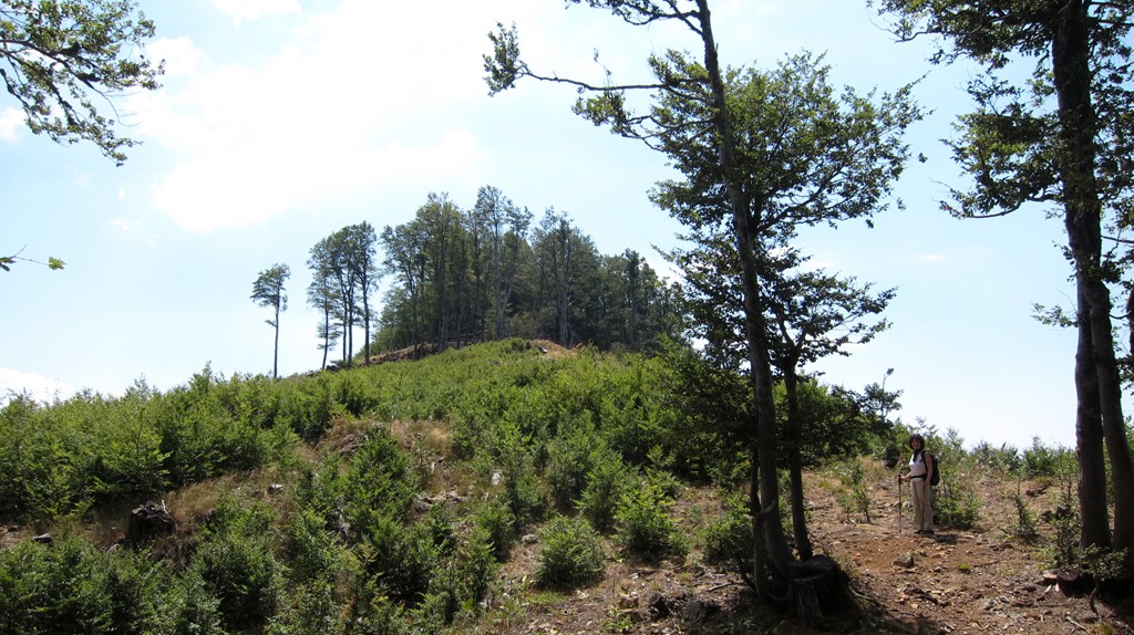
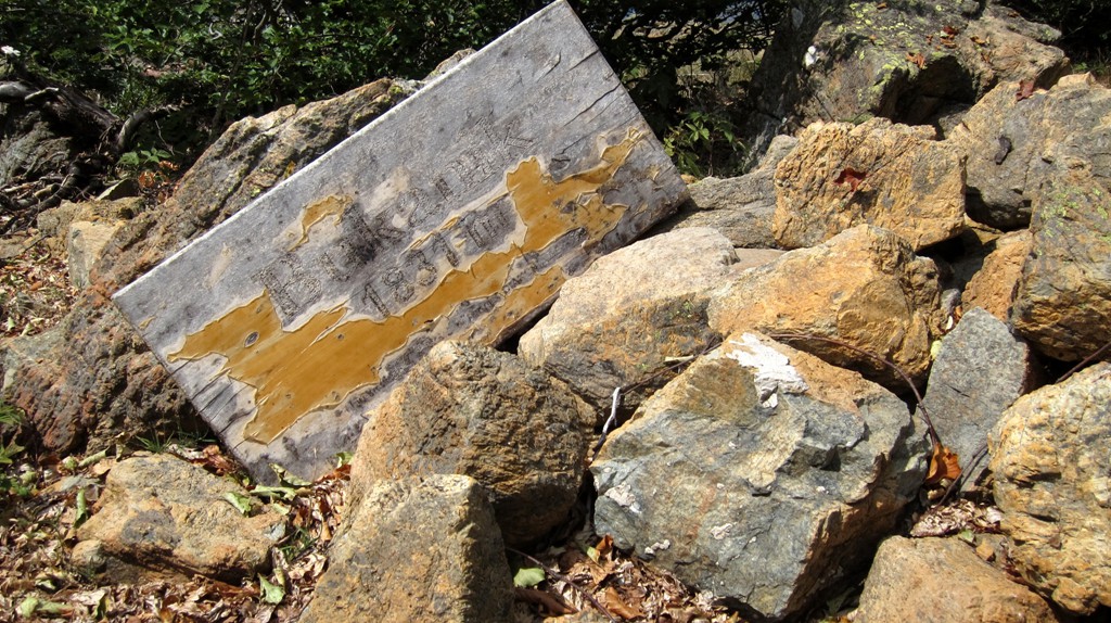
The climb: From the trailhead at 1500, it is a relatively short trip to Maja e Bukanikut at 1821 Meter.
| Maximum altitude: | 1821 meter |
| Minimum altitude: | 1501 meter |
| Cumulative height: | 320 meter |
| Cumulative length: | 2.6 kilometer one way |
| Difficulty | easy |
| Time: | 1 hour up |
| Date of this record | August 2012 |
| Download GPS info: | Bukanikut |
General location and approach: The drive begins in Elbasan. Take the bridge across the Shkumbin and follow directions to Gjinar.
Other Information: It should be possible, in case no 4WD is available, to walk from Gjinar to the summit of Bukanik. The return trip may take the best of a day, though there are many refreshments available in Gjinar following a succesful trip!
GPS and trailmaps: The map and trailinformation is generated by www.wikiloc.org, based on GPS information collected from the actual hike. Waypoints can be downloaded to a GPS device from Wikiloc. If necessary, use GPSBabel to convert GPS data to different formats. For more hike descriptions by Palmtreetreeproduction, browse this website or visit Wikiloc and search for "Palmtreeproduction". You may also find nearby trails from other authors.
Google Earth: You may also view the trail in 3D by viewing it directly in Google Earth. You need to have Google Earth installed on your computer. Activate "wikiloc"in the "Gallery" menu in Google earth.