PALM TREE PRODUCTIONS
back to Albania site back to hikes and climbs back to Locations and Travel
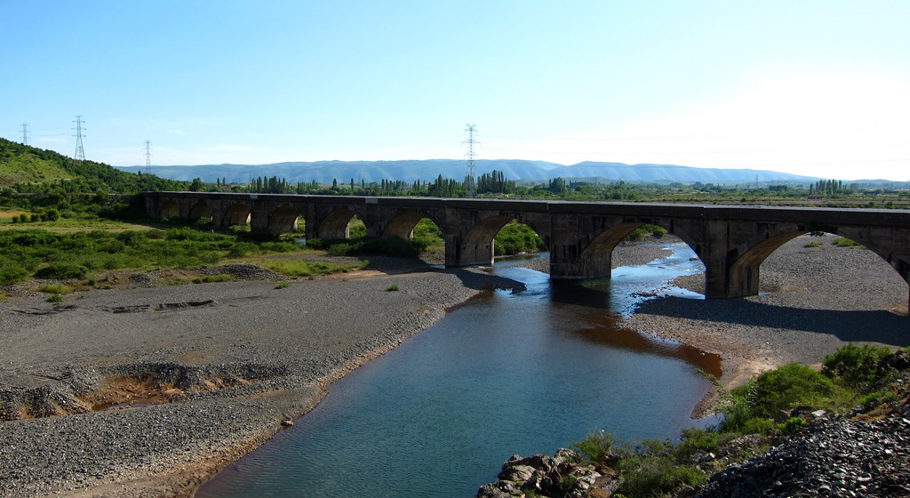
Bukmirë, Kalivac, Vig, Mnelë![]()
Summary: A light offroad drive for a morning or an afternoon, unless you want to spend more time for a picnic or enjoying the views along the trail. We would have rated the trail as easy, if there wouldn't be a short difficult spot.
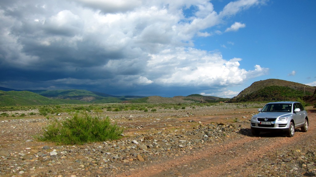
The only real difficult stretch is 3 kilometer long between waypoint 09-Ford and 11-Fork. It seems to be little used. It starts with steep and badly eroded inclines up to waypoint 10-Sukaxhi, and finishes with a rather level but soft (when wet) and deeply rutted piece. The good thing is that you know it will be short, and that the trail will be better thereafter!
This stretch can be avoided by turning left at waypoint 06-Fork to Ungrej, and taking a right later back to waypoint 11, to join our trail. We haven't taken this alternative, but presume that there is more traffic towards and from Ungrej than on our shortcut.
The trail starts at the highway in Rreshen, and ends near Vau-Dejes, near Shkodra.
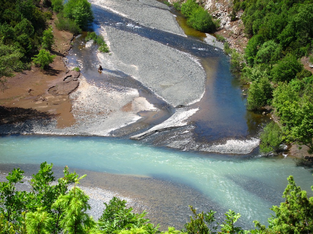
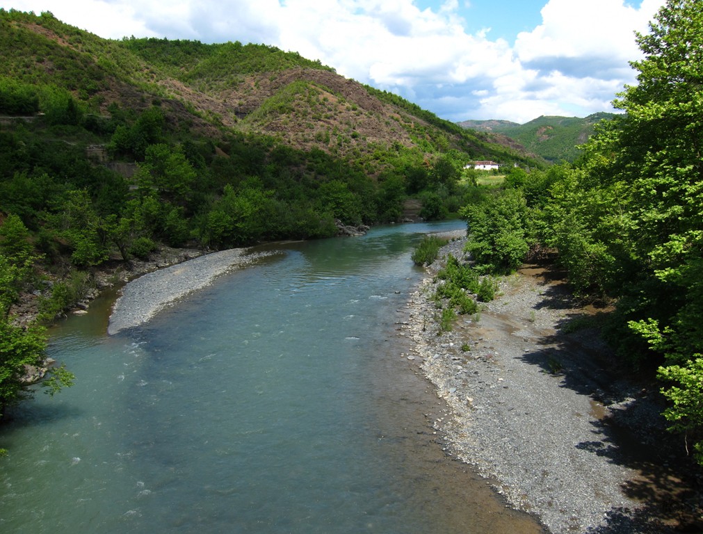
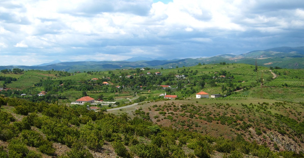
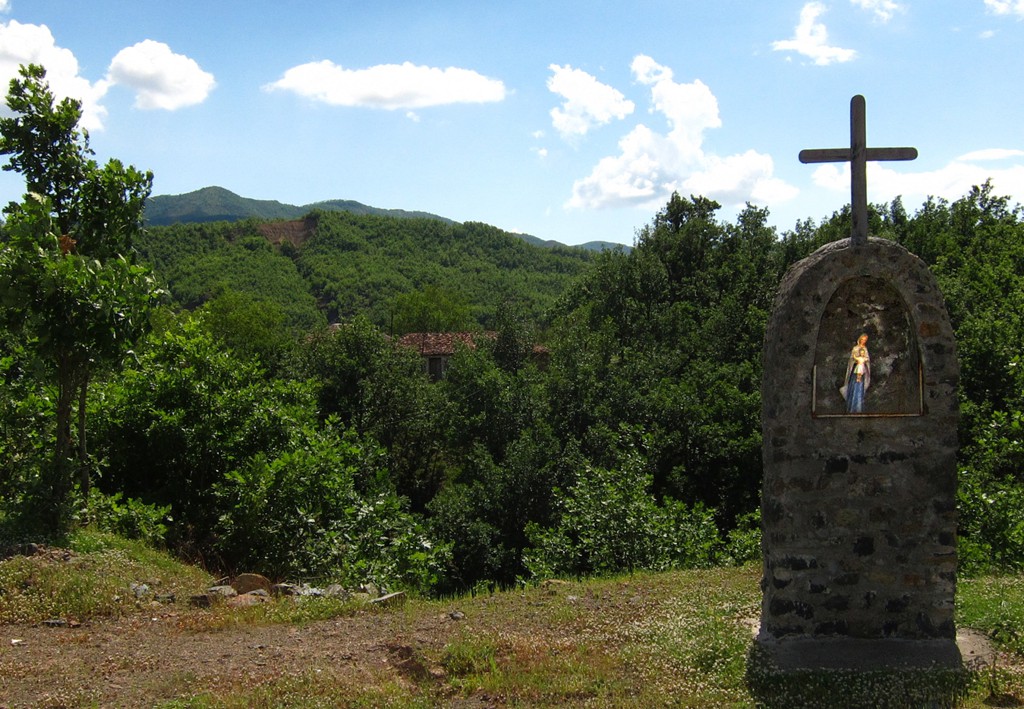
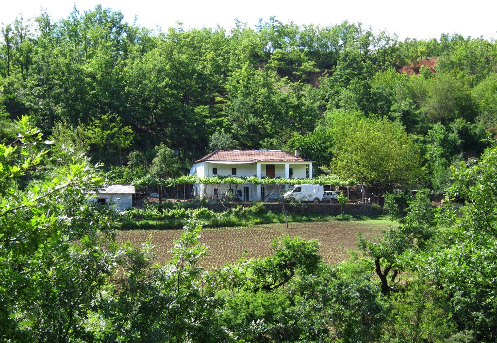
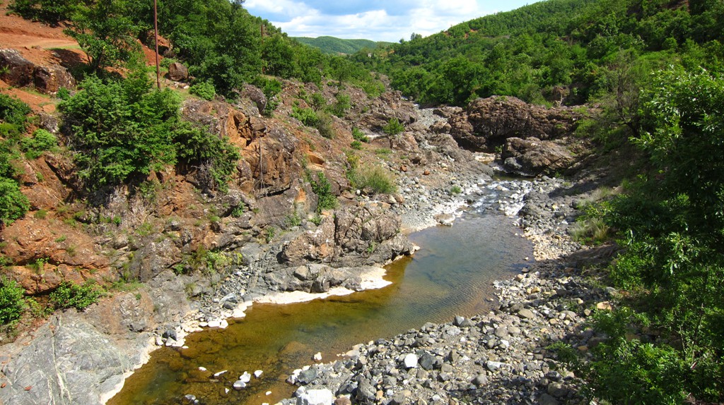
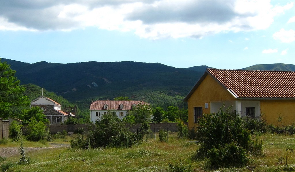
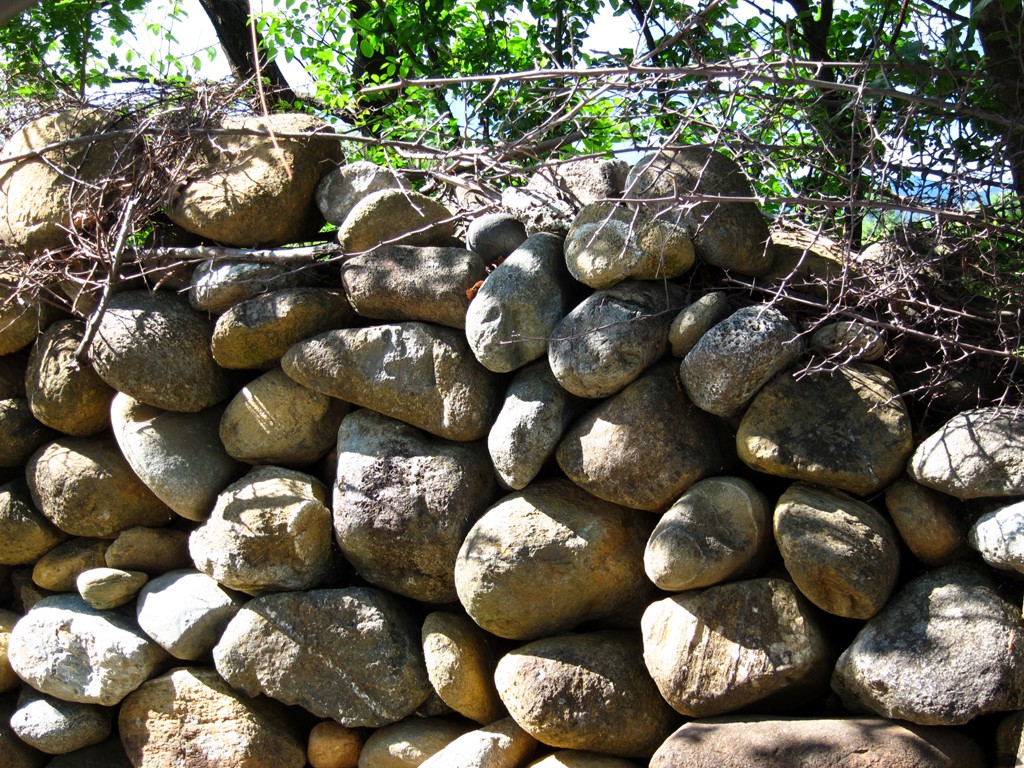
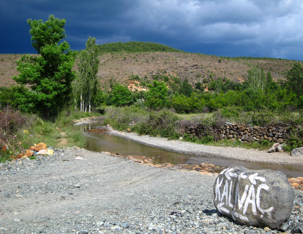
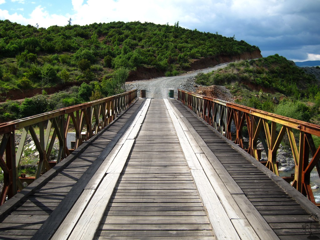
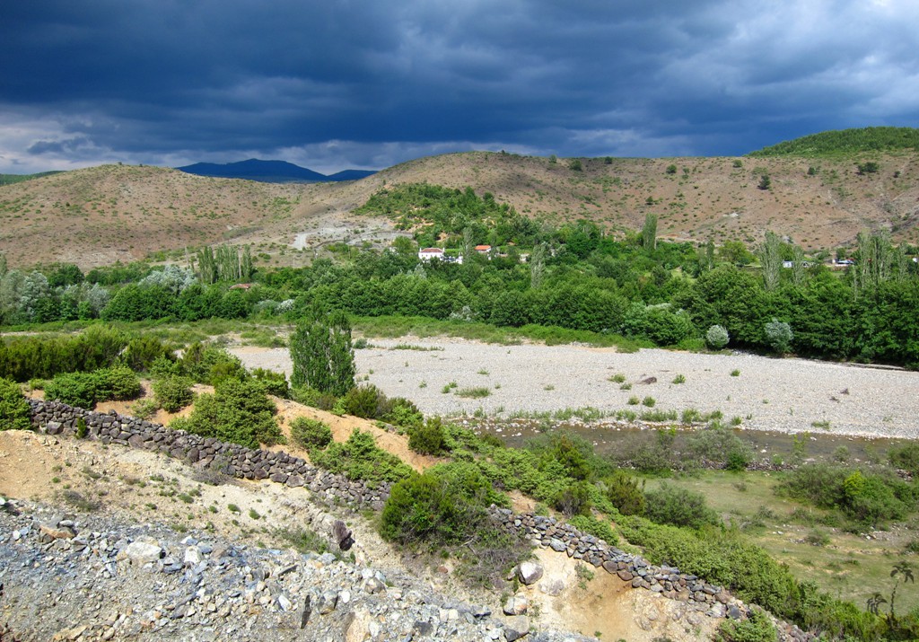
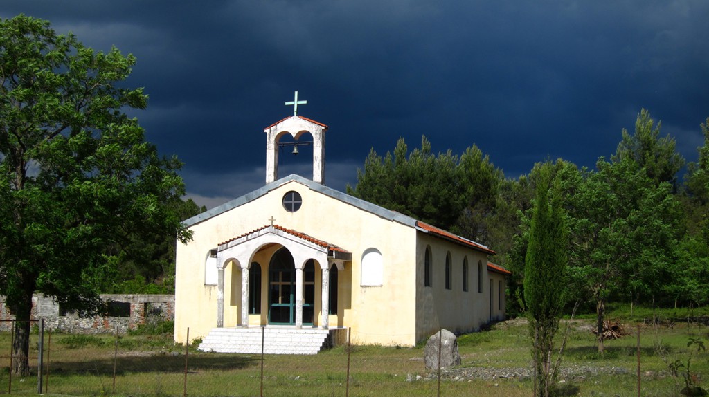
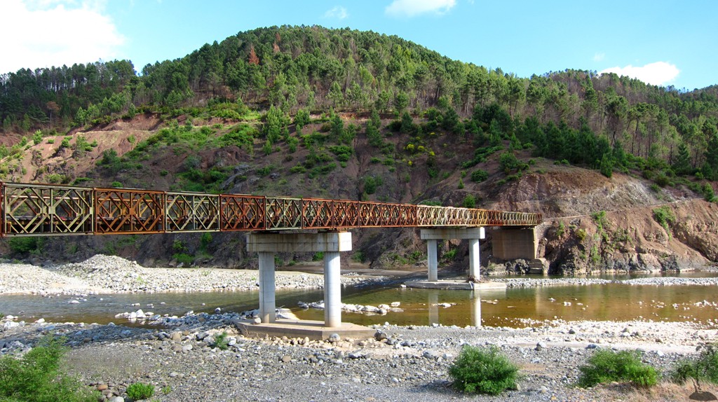
Bukmirë is ia bucolic village, where wine is grown and life seems to be good - at least according to Fatos Baxhaku in his book Në Mirditë & rreth e rrotull. Apparently, there is plenty of water for irrigation. From there, the landscape becomes more rugged, but you will pass homesteads every few kilometers. Naturally, road quality is worse about in the middle of the trail, near Sukaxhi. Once back on the road connecting Ungrej with Kalivac, the road is generally well maintained, and some effort was made to improve the bridges.
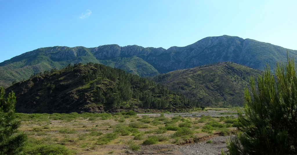
Near Vig and Mnelë, you are close to the east side (or backside) of Mali i Hajmelit, which looks dramatic from here. Once you complete your drive, you may consider having something to eat at the Mrisi Zanave restaurant in Fishte village (south at the junction where the trail ends), though it may be difficult to secure a place on a weekend without reservations.
| Maximum altitude: | 418 meter |
| Minimum altitude: | 28 meter |
| Cumulative height: | 725 meter |
| Cumulative length: | 45.2 kilometer |
| Difficulty | moderate |
| Time: | 3 hours |
| Date of this record | May 2014 |
| Download GPS info: | Bukmire |
To the trailhead: Take the first exist on the 4-lane highway from Rubik to Kukes.
GPS and trailmaps: The map and
trailinformation is generated by
![]() , based
on GPS information collected from the actual hike. Waypoints
can be downloaded to a GPS device from Wikiloc. If necessary, use
GPSBabel to
convert GPS data to different formats. For more
hike descriptions by Palmtreetreeproduction, browse this
website or visit Wikiloc
and search for "Palmtreeproduction". You may also find
nearby trails from other authors.
, based
on GPS information collected from the actual hike. Waypoints
can be downloaded to a GPS device from Wikiloc. If necessary, use
GPSBabel to
convert GPS data to different formats. For more
hike descriptions by Palmtreetreeproduction, browse this
website or visit Wikiloc
and search for "Palmtreeproduction". You may also find
nearby trails from other authors.
Google Earth: You may also view the trail in 3D when viewing it in Google Earth, which you need to have installed on your computer. The 3D perspective allows a good preview of gradients, steepness, possible views and is generally helpful when planning a trip.