PALM TREE PRODUCTIONS
back to Albania site back to hikes and climbs back to Locations and Travel
Dajti Crest Trail
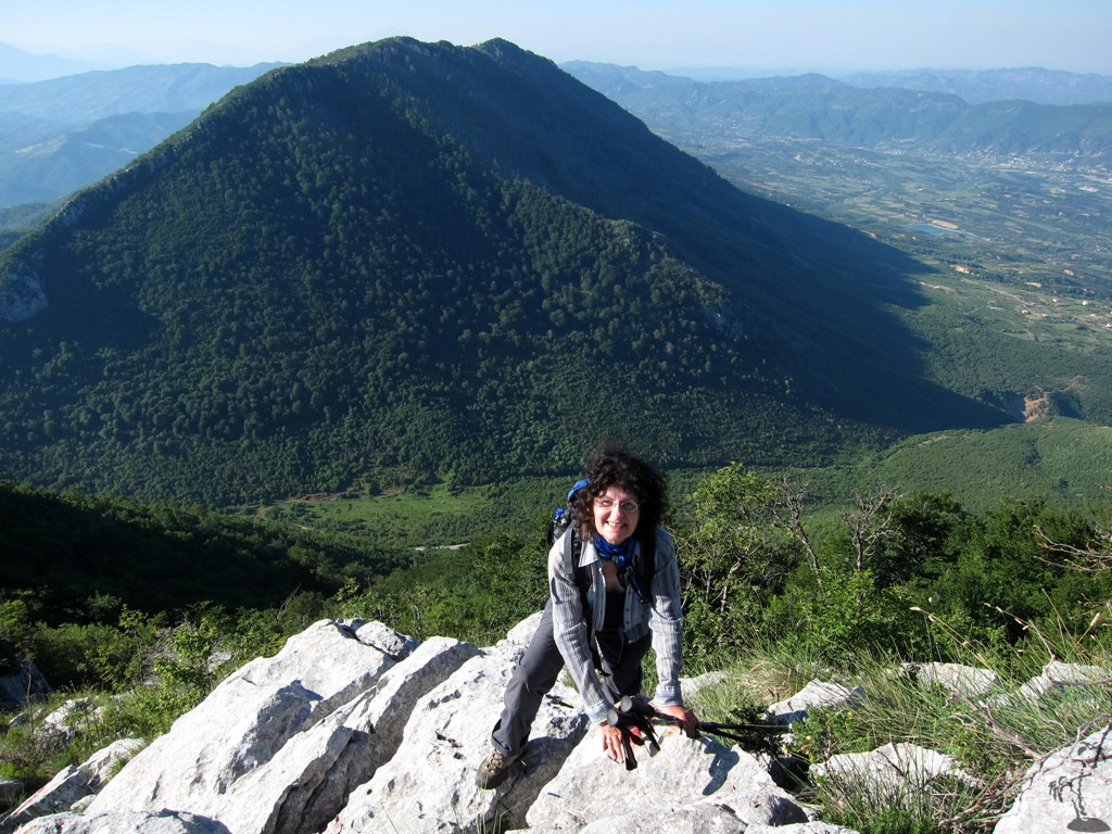
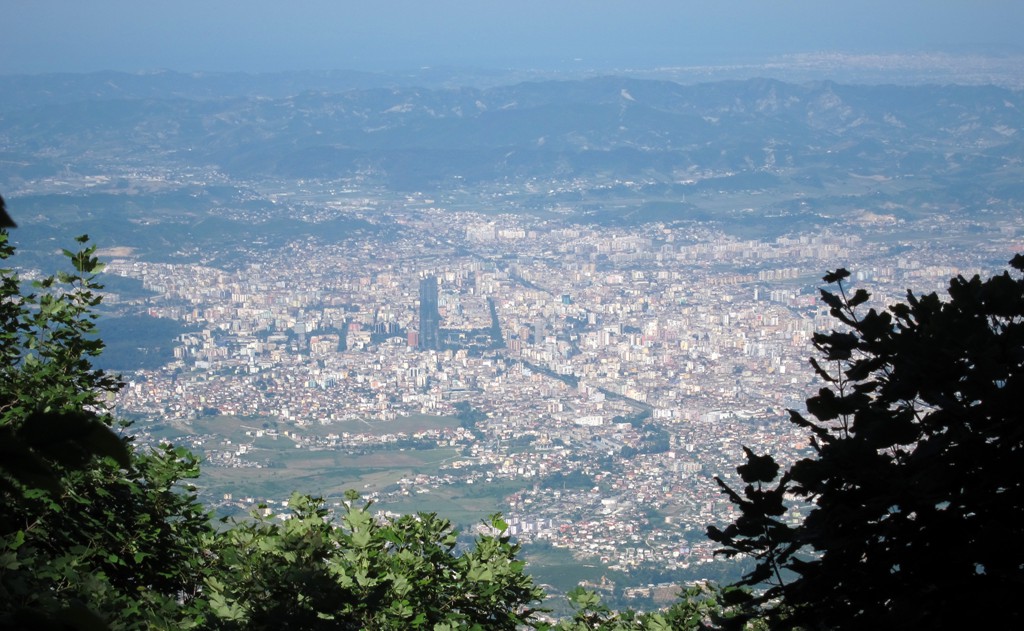
Summary: Dajti Mountain is so close to Tirana, but many visitors remain baffled on how to climb it - aside from taking the cable car and enjoying the views from the balcony and a good lunch. We have a few trails to the Dajti blacony and also to the summit on this website. This traverse from Qafe Priske to the summit of Dajti is among the highlights of any Dajti visit.
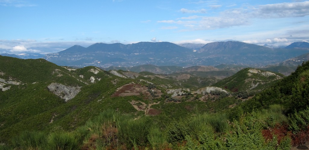
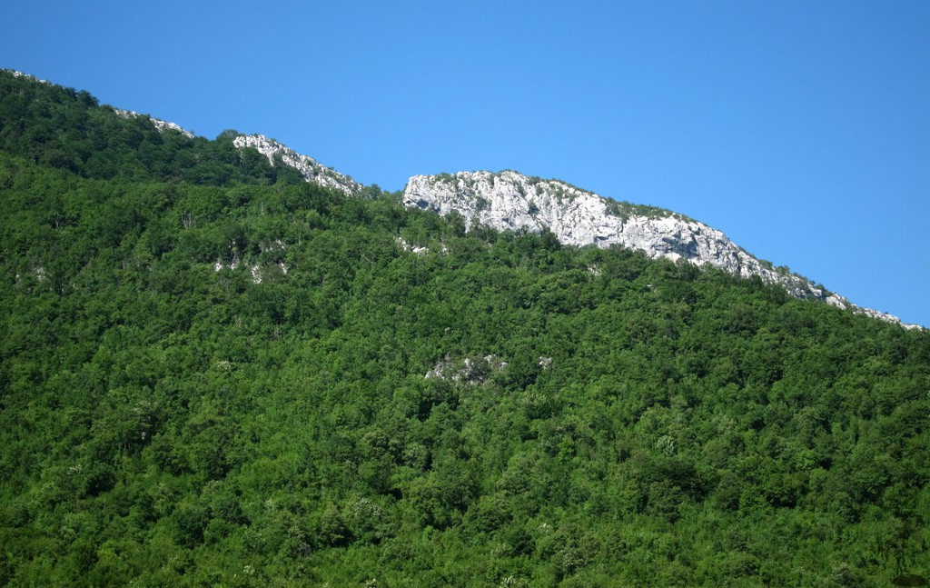
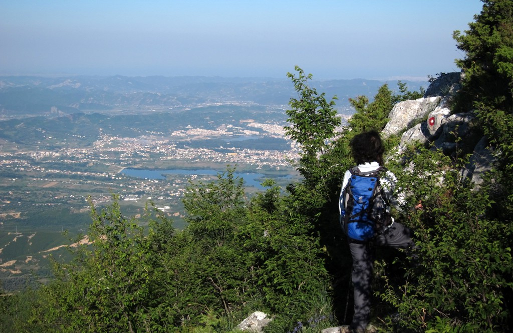
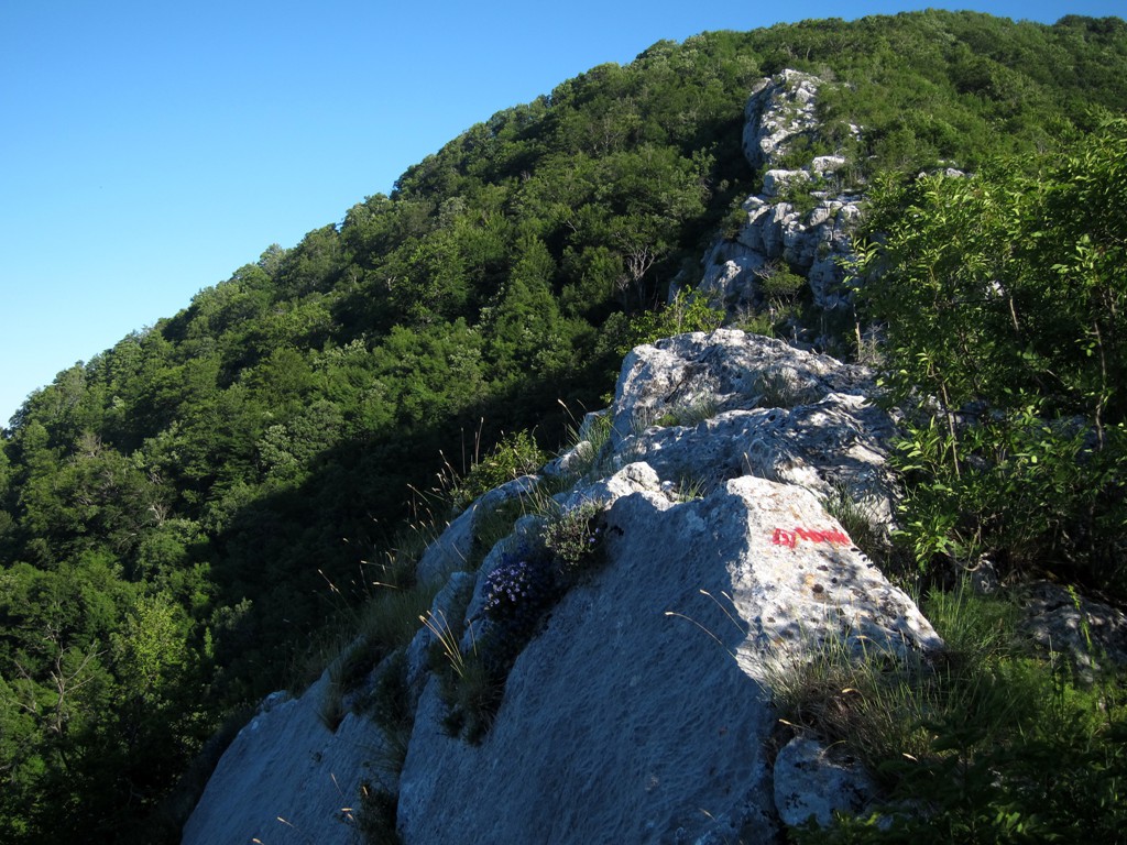
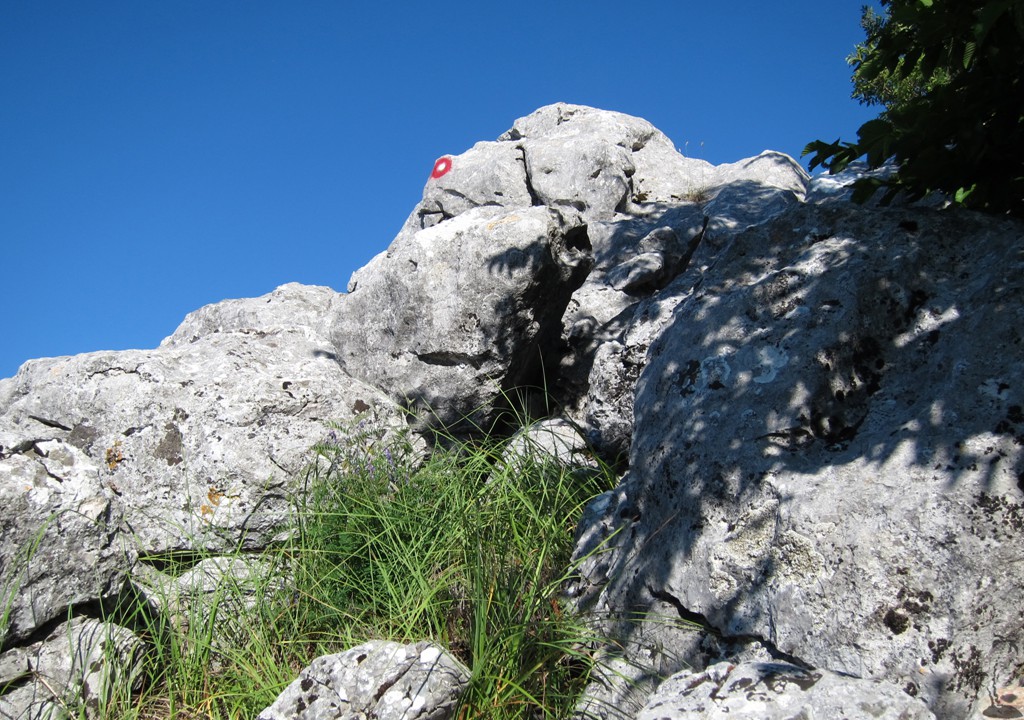
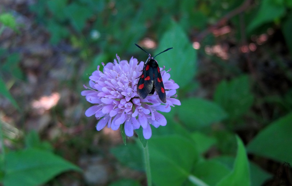
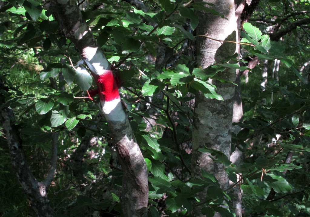
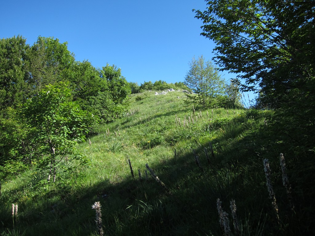
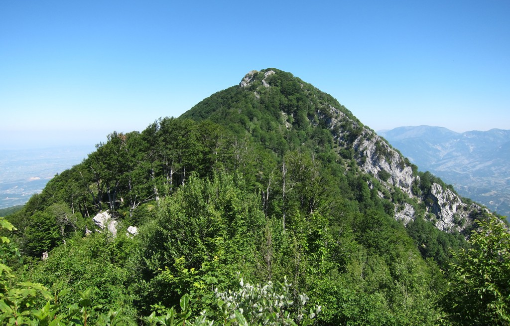
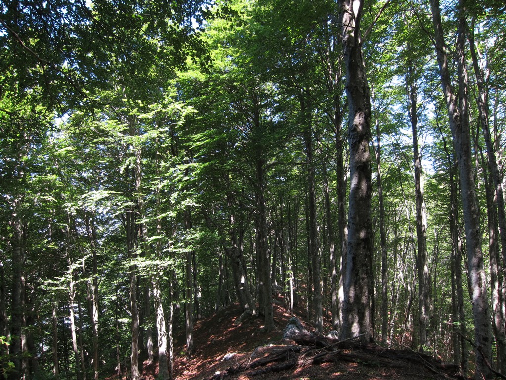
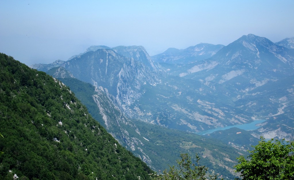
Ridge walks in this part of of Albania can be difficult: there is usually no path, and blocks of rocks and bushwhacks tend to slow down progress. The Dajti Crest Trail is delightfully different. There is a well marked trail (for most of the hike), the pieces of rock are easy to travel and no bushwhack is necessary. Much of the walk is in the shade of huge beech trees, which makes the hike also suitable in summer. We nevertheless made an early start (in June) starting from the trailhead before 6 am, and we have no regrets.
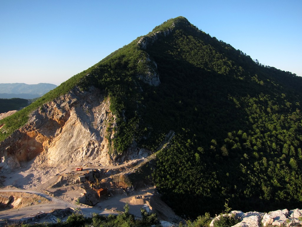
Access to the summit itself is not allowed without permission, though you may try your luck and negotiate with the staff of the radio towers. The trail also includes the short return trip as far as the access road to the summit allows. This can be skipped. Views similar to those that can be had from the summit, would have been available all along the way.
| Maximum altitude: | 1568 meter |
| Minimum altitude: | 942 meter |
| Cumulative height: | 847 meter |
| Cumulative length: | 9.73 kilometer |
| Difficulty | moderate |
| Time: | 5 - 7 hours with breaks |
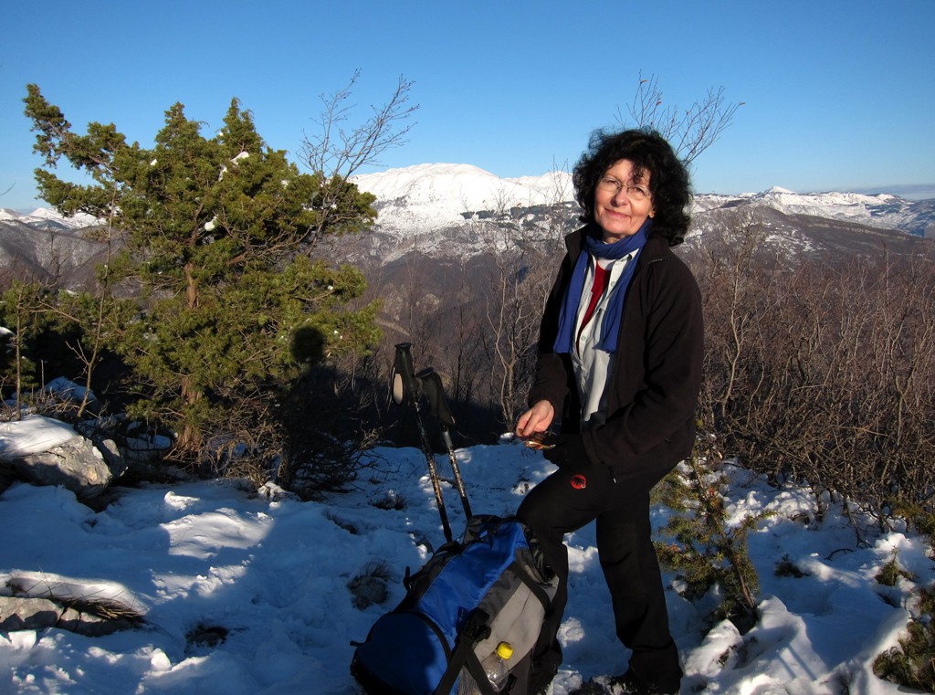
| Date of this record | June 2012 |
| Download GPS info: | Dajti Crest Trail |
General location and approach: The hike begins at Qafe Priske and ends at the mountain station of the Dajti cable car. As this is not a loop hike, returning to your car might be a challenge. Once at the end of the hike (at the mountain station of the cable car), we took one of the shuttle buses to the many restaurants on the Dajti balcony, had lunch and negotiated with them to take us back to our car on Qafe Priske. For foreigners this is not very cheap. Alternatively, you may have a friend dropping you at Qafe Priske, and then take the cablecar back to Tirana.
Other Information: The crest trail avoids one or the other rocky bumps in the ridge, usually on the western side. For the enthusiast, it might be possible to sample them all.
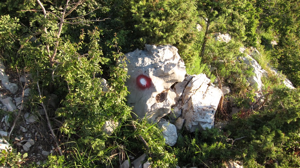


GPS and trailmaps: The map and trailinformation is generated by www.wikiloc.org, based on GPS information collected from the actual hike. Waypoints can be downloaded to a GPS device from Wikiloc. If necessary, use GPSBabel to convert GPS data to different formats. For more hike descriptions by Palmtreetreeproduction, browse this website or visit Wikiloc and search for "Palmtreeproduction". You may also find nearby trails from other authors.
Google Earth: You may also view the trail in 3D by viewing it directly in Google Earth. You need to have Google Earth installed on your computer. Activate "wikiloc"in the "Gallery" menu in Google earth.