PALM TREE PRODUCTIONS
back to Albania site back to hikes and climbs back to Locations and Travel
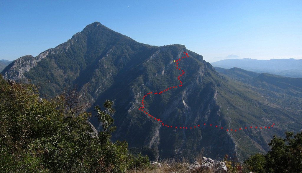
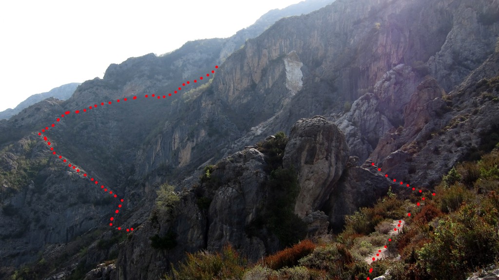
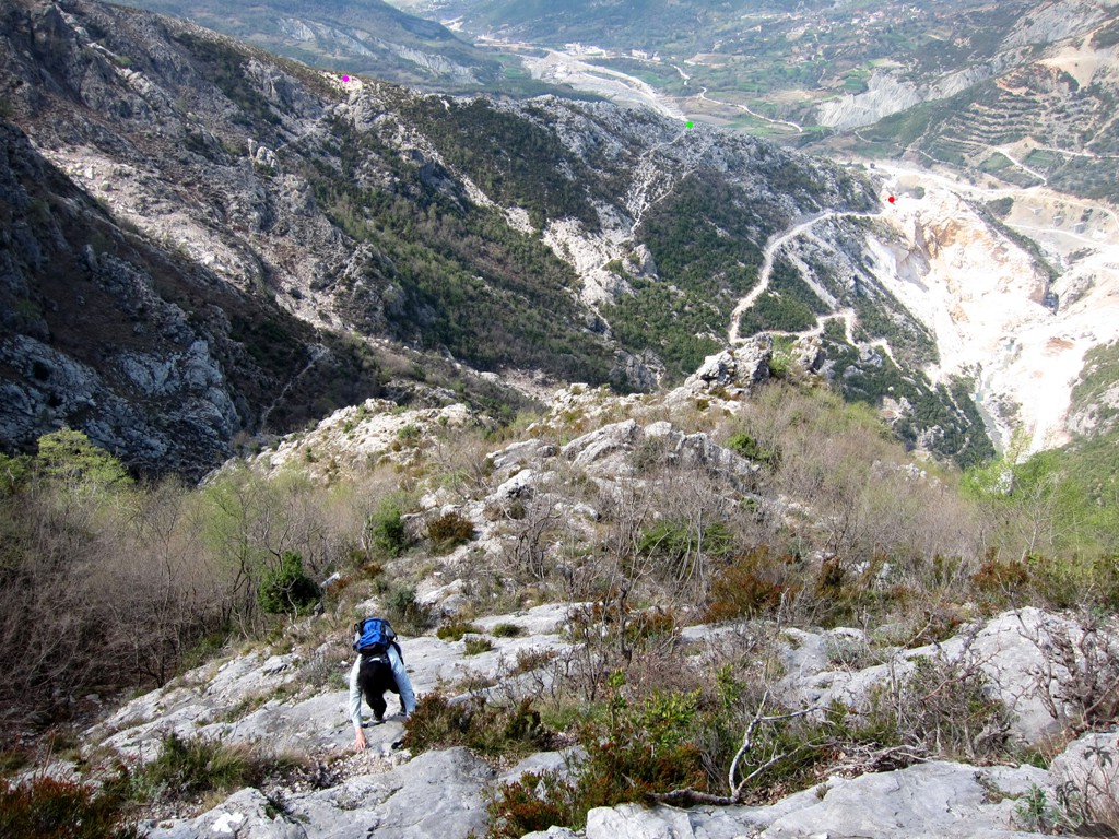
Dead End on Dajti![]()
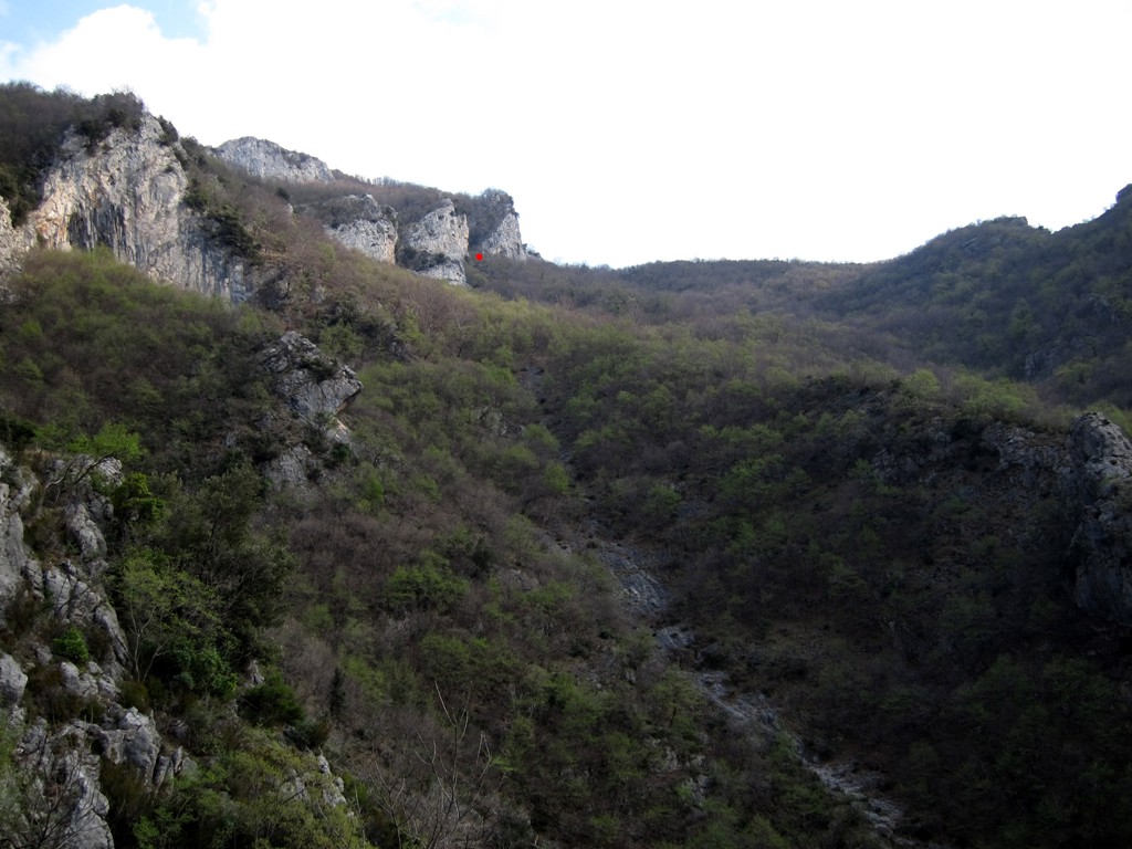
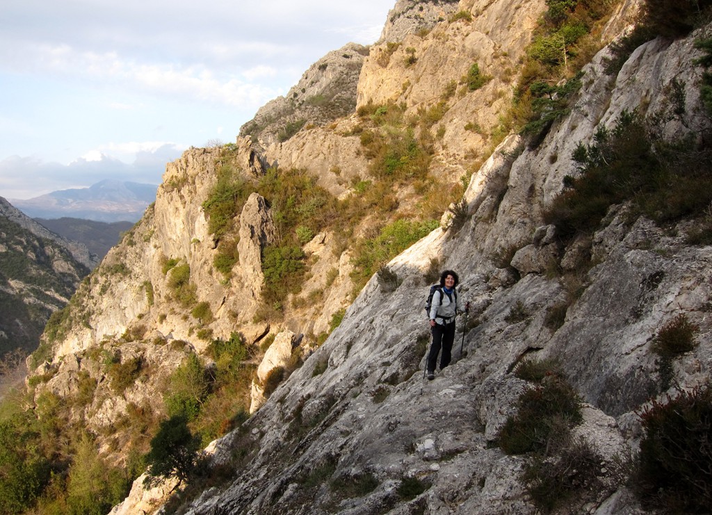
Summary: There are many hikes and ways to climb up to the Dajti Plateau, and this is none of them. We thought we made out a trail on Google Earth, and almost made it, just to have to return in front of a 7 meter high vertical rock wall that was preventing access to the Dajti Plateau. On our return, we saw what could have been an alternative way, but of course we are not sure. Those with a lot of experience and lot of time on their hand may give it a try.
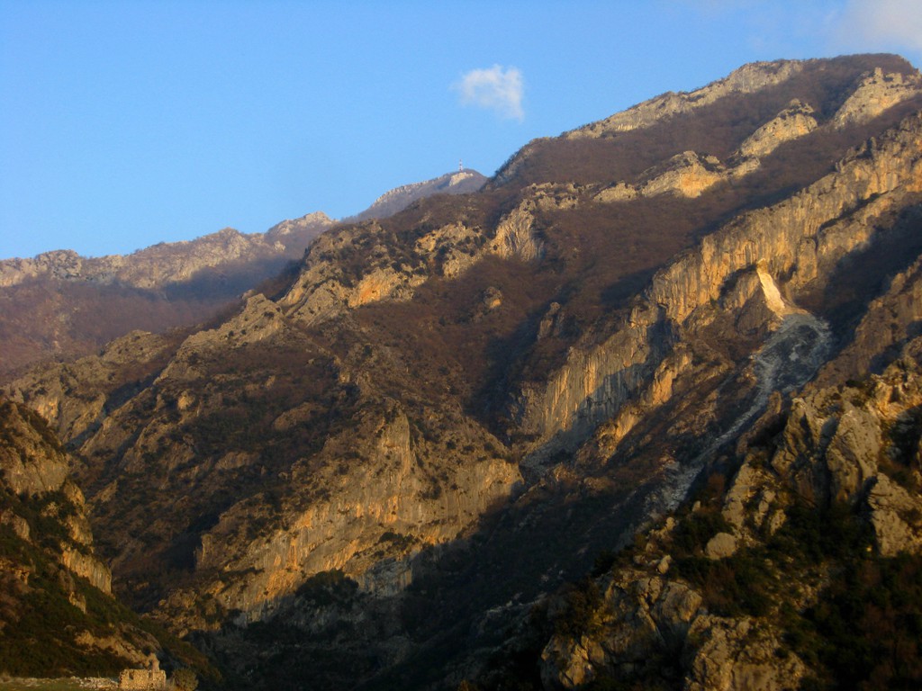
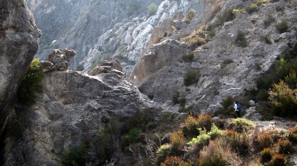
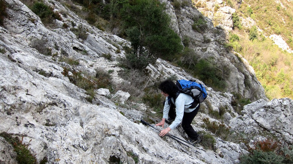
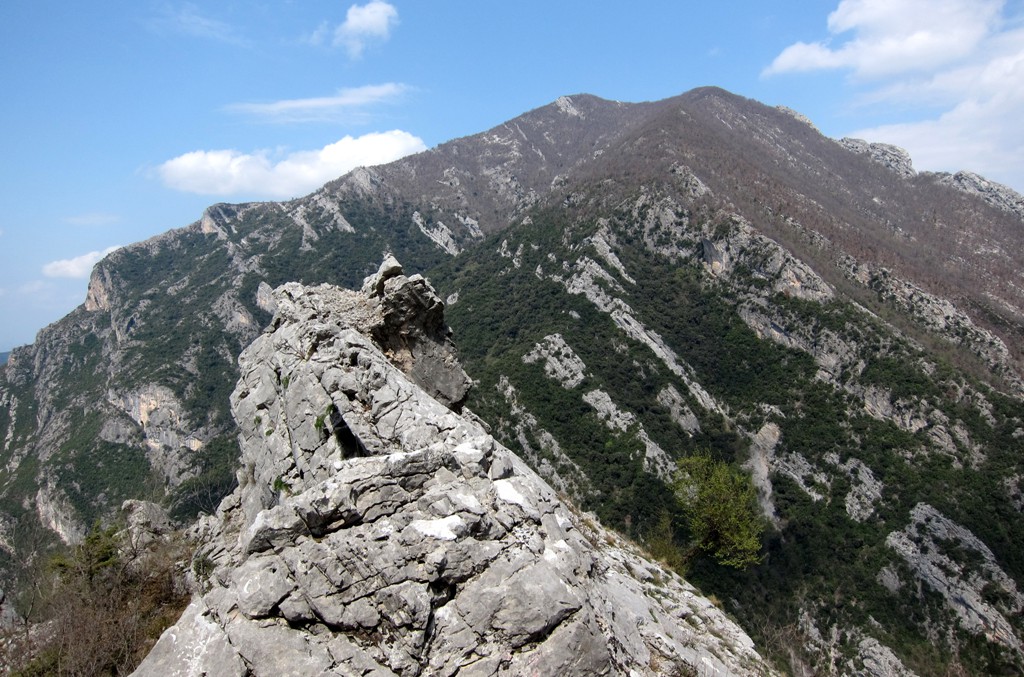
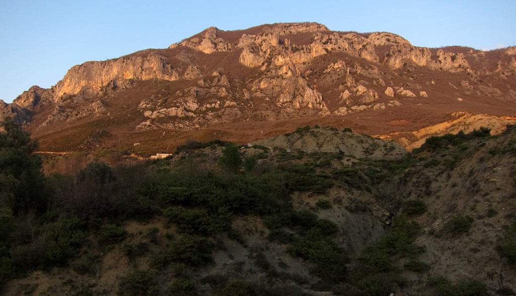
The trail leads through the wild north face of Dajti mountain, which has a difficult "architecture" but doesn't fail to inspire respect for the mountain. It was one of the more difficult trails we did in Albania, bordering a good scramble. Some (modest) mountaineering experience would come handy and good orientation skills are advised. Dor more details, also study the pictures.
| Maximum altitude: | 965 meter |
| Minimum altitude: | 398 meter |
| Cumulative height: | 622 meter |
| Cumulative length: | 3.5 kilometers one way |
| Difficulty | very difficult |
| Time: | 2-3 hours one way, if you don't get lost |
| Date of this record | April 2012 |
| Download GPS info: | Dead End Dajti |
General location and approach: The hike starts at the village of Tujanit, which is also the start of the considerbly easier hike to the Dajti Plateau and the Tirana River Gorge.
Other Information: Some short sections of the trail lead across slopy, rocky patches, which should are not advised to be done when wet.

GPS and trailmaps: The map and trailinformation is generated by www.wikiloc.org, based on GPS information collected from the actual hike. Waypoints can be downloaded to a GPS device from Wikiloc. If necessary, use GPSBabel to convert GPS data to different formats. For more hike descriptions by Palmtreetreeproduction, browse this website or visit Wikiloc and search for "Palmtreeproduction". You may also find nearby trails from other authors.
Google Earth: You may also view the trail in 3D by clicking on the respective marker in Google Earth. You need to have Google Earth installed on your computer.