PALM TREE PRODUCTIONS
back to Albania site back to hikes and climbs back to Locations and Travel
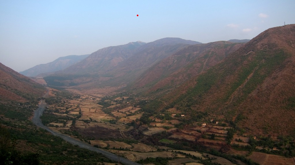
Across Dhoksit, Lopës to Liqueni i Zi -
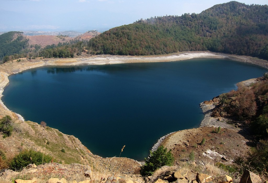
the Black Lake![]()
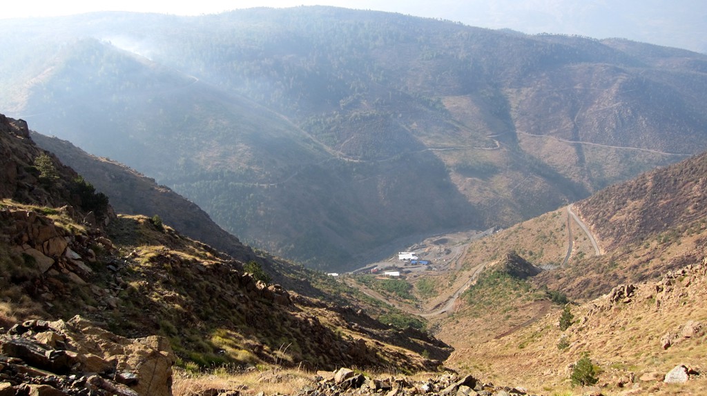
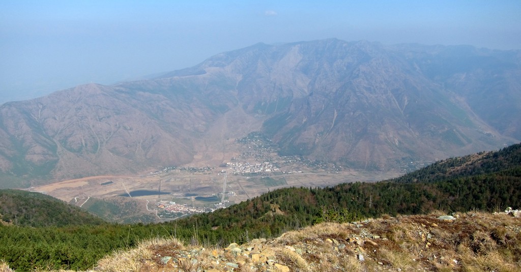
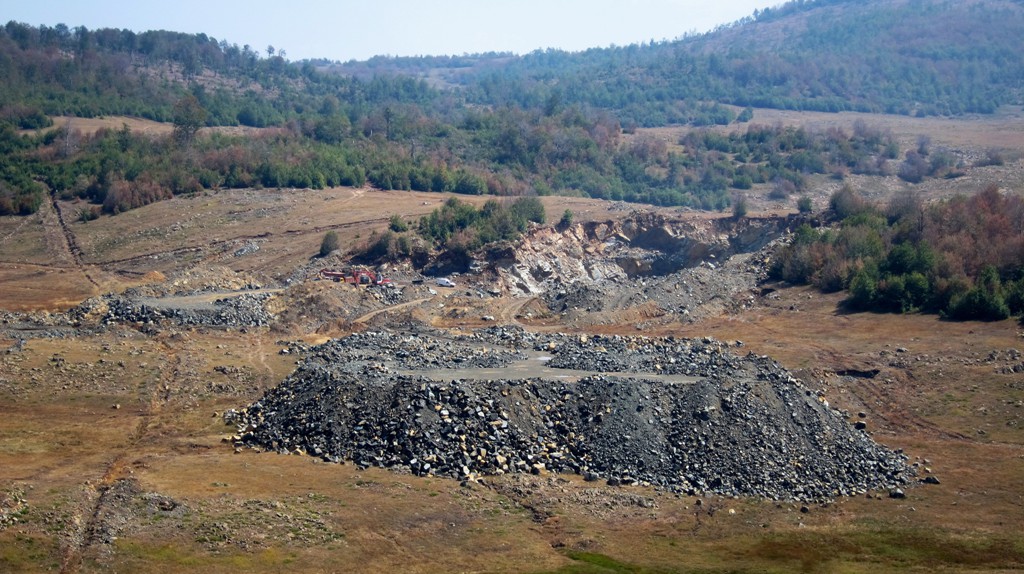
Summary: The town of Bulqize is not known for its hiking potential, but for its chromium mines. Mali e Lopës, the mountain that looms large south of Bulqize, has been mined for many decades. Mining is hard work and often hazardous, and while it provides jobs, the conditions and remuneration will remain an issue until properly regulated and enforced.
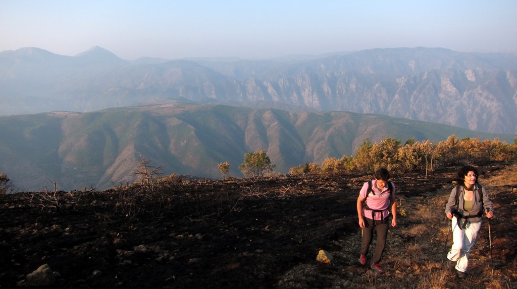
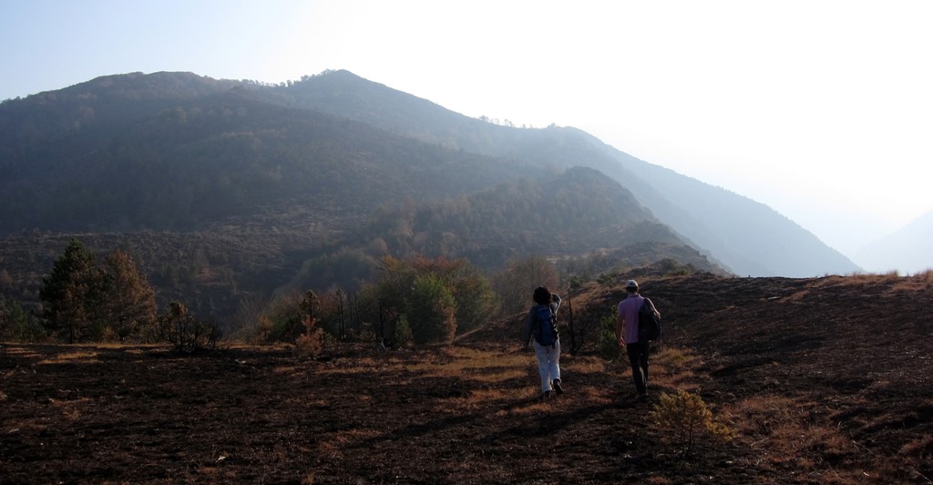
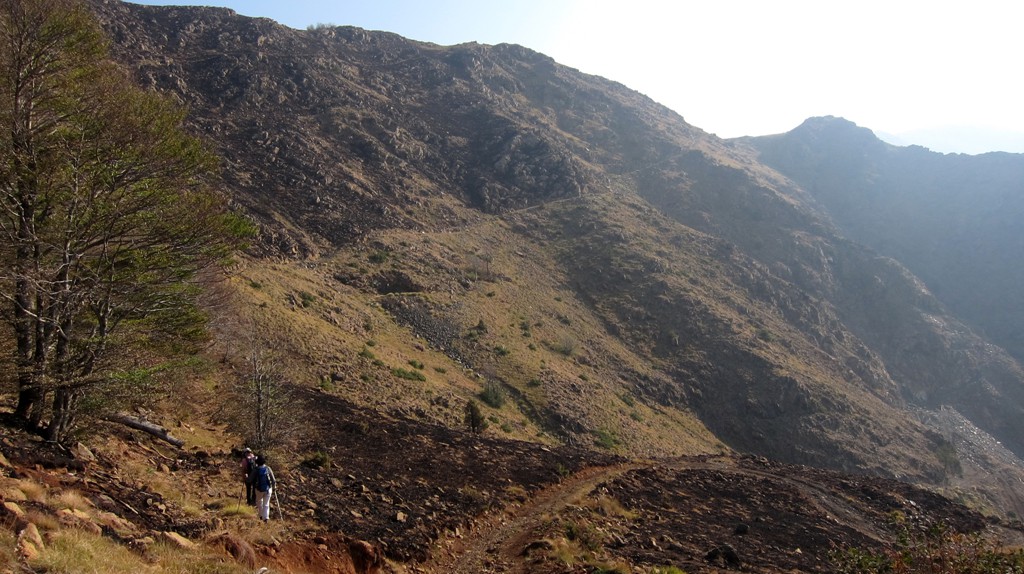
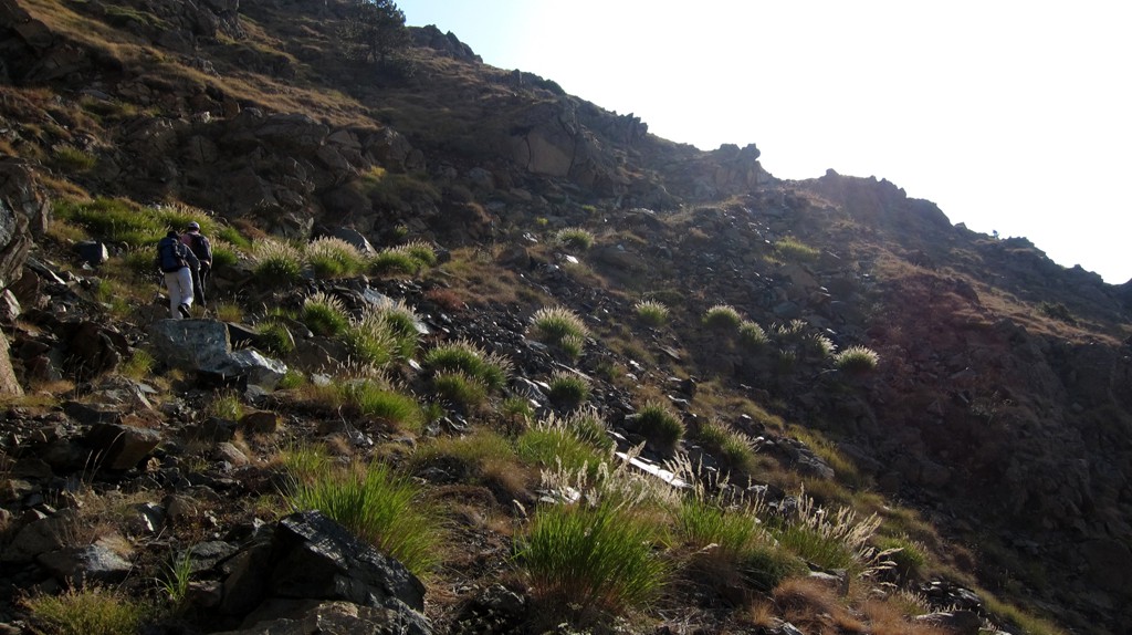
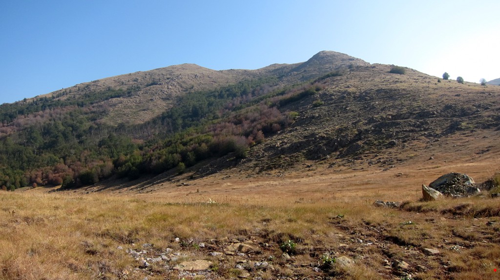
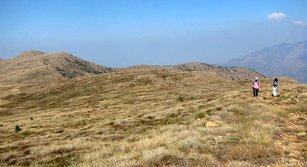
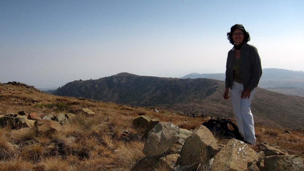
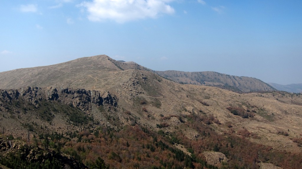
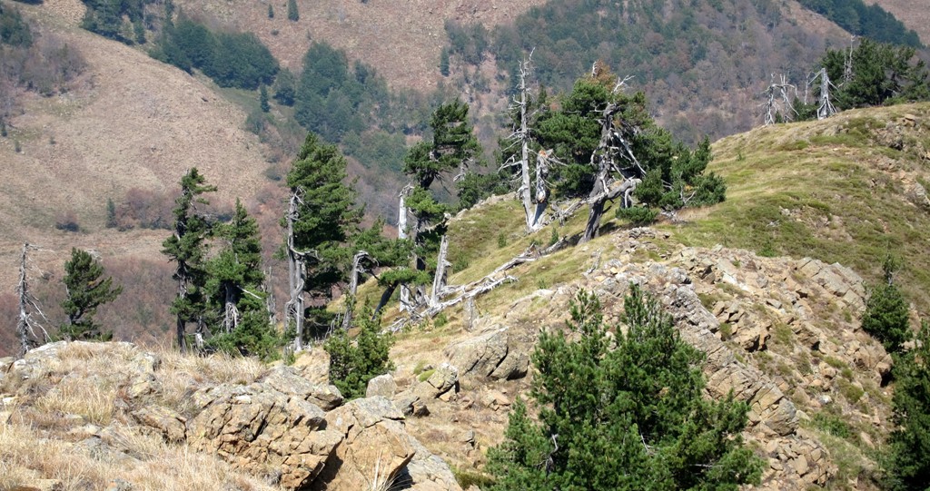
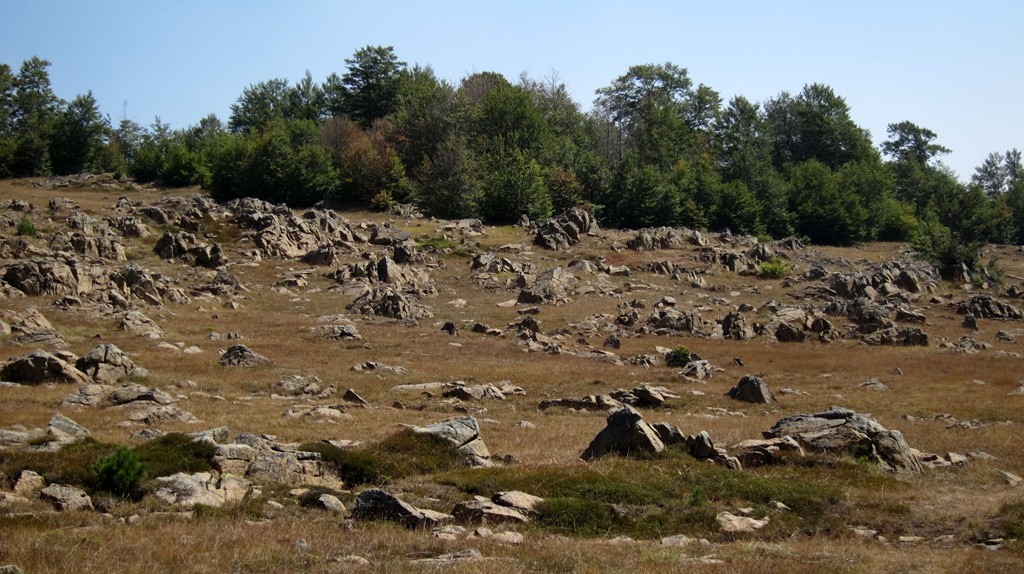
A hike across the mountain, ending at Liqeni Zi, is not only instructive but also an enjoyable undertaking. It gives testimony that Bulqize is not a town to be avoided, but that it offers more than meets the eye.The plateau of Mali i Lopës (the mountain of the cow) is big, and in the past surely provided grazing for plenty of livestock. Now there are no cows, nor sheep, nor dogs on the mountain.
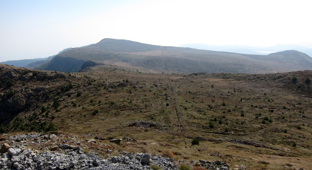
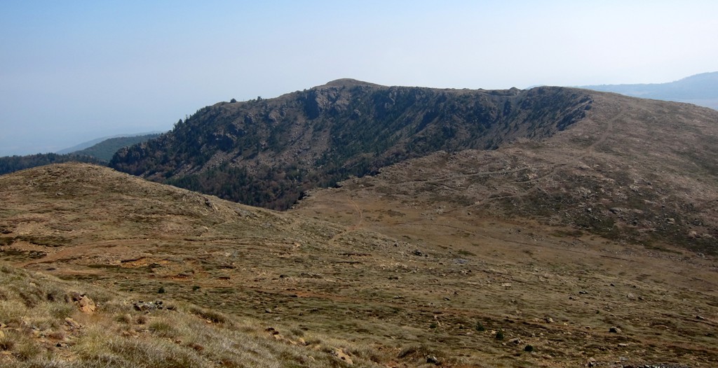
Mali i Lopës has three summits. Dhoksit is seen from Bulquize, the second (unnamed peak) is the highest of the three with the best views, and then there is Maja e Lopës which gave the range its name.
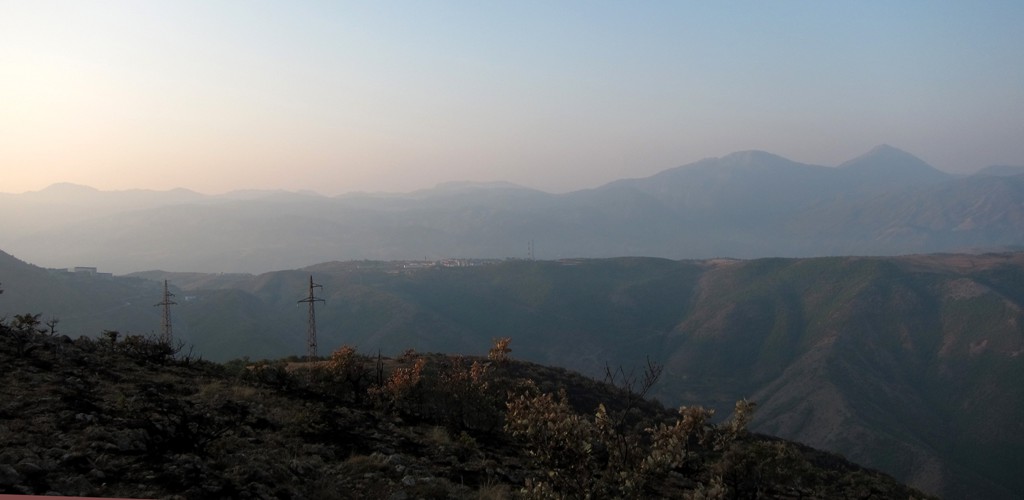
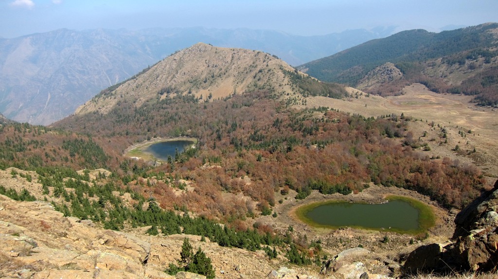
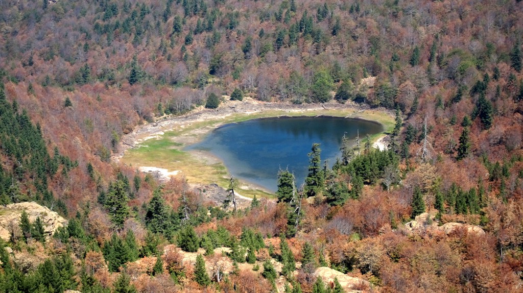
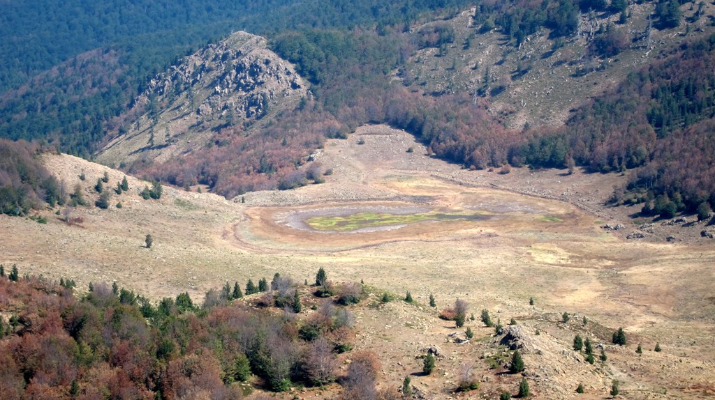
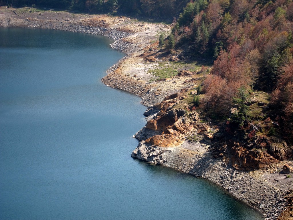
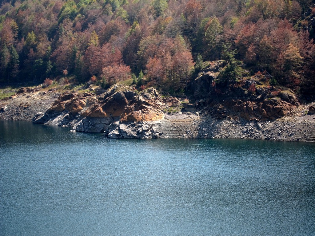
The hike entends to the Ligeni Zi, or more correctly Liqeni i Zi i Valikardhës. The lake beats the Lura Lakes hands down for its color and beauty, but is threatened by the extending exploitation and other developments.
The hike is easy but long. The hike is recorded as a one-way hike, so you need to make appropriate arrangements for transportation - first to take you to the trailhead, and then to pick you up from below Liqeni Zi. The road from Valikardhë to Liqeni Zi is a private road closed with a barrier, and you may have to hike down from the lake to the barrier. Perhaps the security guard lets the vehicle through when explaining that it intends to pick up hikers from Liqeni Zi. This shortens the hike by almost 4 kilometer.
There is one safe water point as indicated by a waypoint.
| Maximum altitude: | 2022 meter |
| Minimum altitude: | 1188 meter |
| Cumulative height: | 1039 meter |
| Cumulative length: | 18.3 kilometers one way |
| Difficulty | easy |
| Time: | 7 hours |
| Date of this record | September 2012 |
| Download GPS info: | Across Dhoksit to Liqeni Zi |
General location and approach: The trailhead is along the road that connect Bulqize and Kraste. The road can be driven by any car. When road reaches the top of the pass (going down to Kraste), take the left fork. The trailhead is a few hundred meter after the fork, at a place where the foundations of building are situated.
Other Information: The hike can be done in some variations. The road from which the trail started contours the mountain, along several mines. It ends at the waypoint 'water'. It would be possible to hike to the summits and follow this road back, but then you miss the views of the beautiful Black Lake. Alternatively, drive to the end of the road (near the waypoint 'water'), and hike to Maja e Lopës and the unnamed peak, return to the car, hike to Liqeni Zi and return to the car. See the map below for the coordinates of the road
| Maximum altitude: | 1691 meter |
| Minimum altitude: | 1188 meter |
| Cumulative height: | 500 meter |
| Cumulative length: | 10.2 kilometers one way |
| Difficulty | easy |
| Time: | 40 minutes |
| Date of this record | August 2012 |
| Download GPS info: | Bulqize Mountain Road |

GPS and trailmaps: The map and trailinformation is generated by www.wikiloc.org, based on GPS information collected from the actual hike. Waypoints can be downloaded to a GPS device from Wikiloc. If necessary, use GPSBabel to convert GPS data to different formats. For more hike descriptions by Palmtreetreeproduction, browse this website or visit Wikiloc and search for "Palmtreeproduction". You may also find nearby trails from other authors.
Google Earth: You may also view the trail in 3D by clicking on the respective marker in Google Earth. You need to have Google Earth installed on your computer.