PALM TREE PRODUCTIONS
back to Albania site back to hikes and climbs back to Locations and Travel
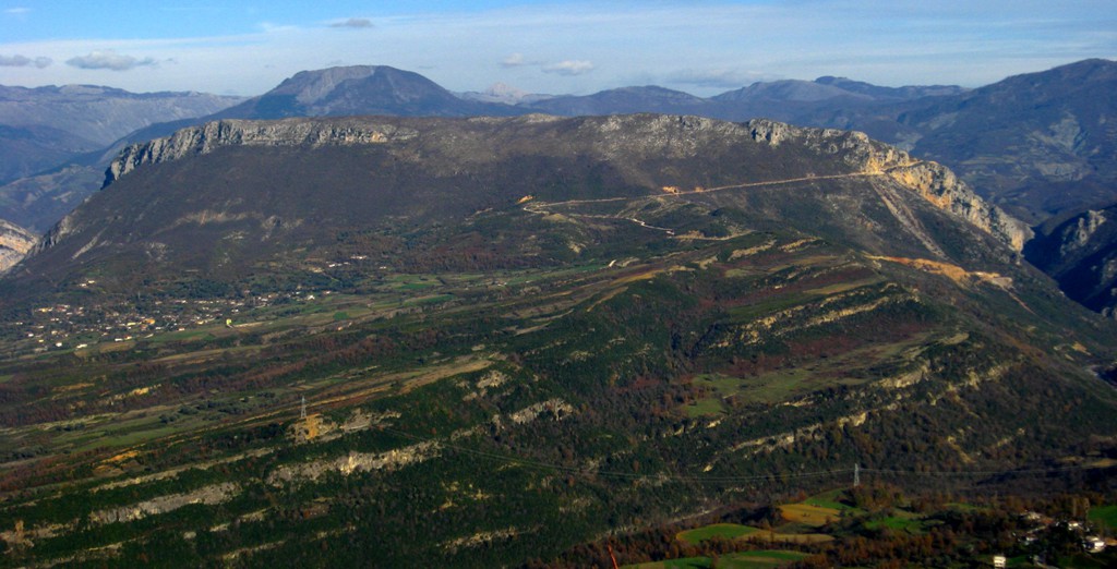
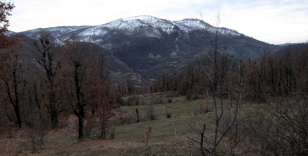
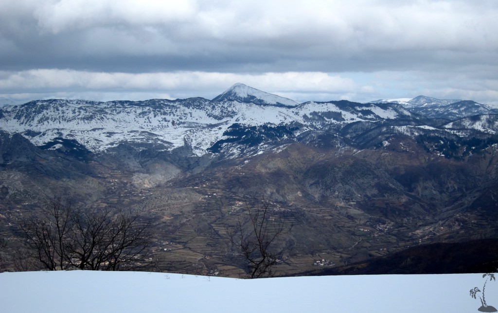
Mali i Fagut from Kllojkë![]()
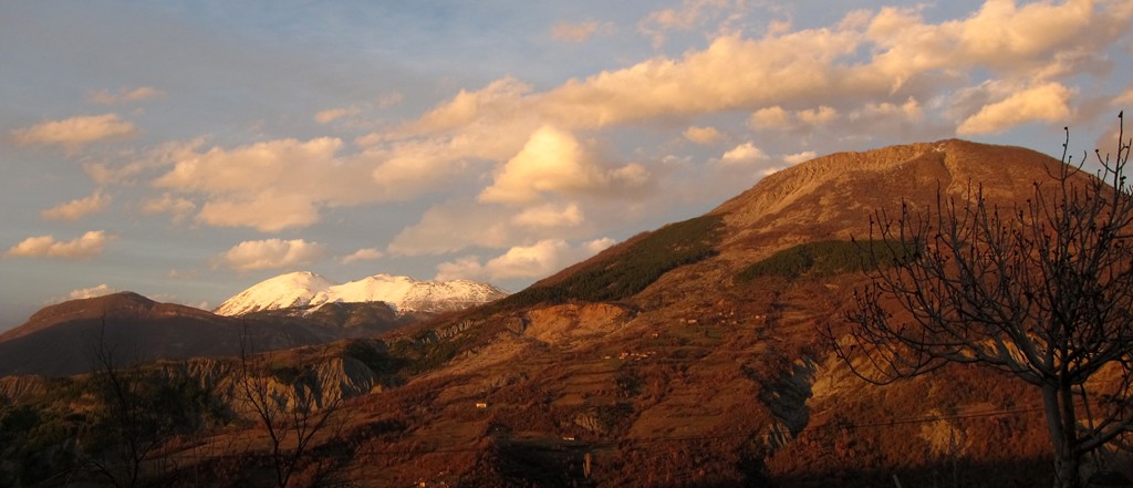
Summary: January and February of 2013 were articularly rainy in Tirana, and it was difficult to catch a weekend with benign weather. At one of those, we "ticked" Mali i Fagut, a mountain that is not very visible from Tirana, as it hides behind the front range made up of Dajti Mountain, Priske Mountain and so on. For those who ventured behind or on top of the mountains of the front range, Mali i Fagut stands out prominently. Endrit Shima laid a GPS track up Fagut last year, in winter, from the road to Shengjergj. This time, we took the approach from the Elbasan road to the hidden hamlet of Kllojkë, to try an ascent from the south-west.
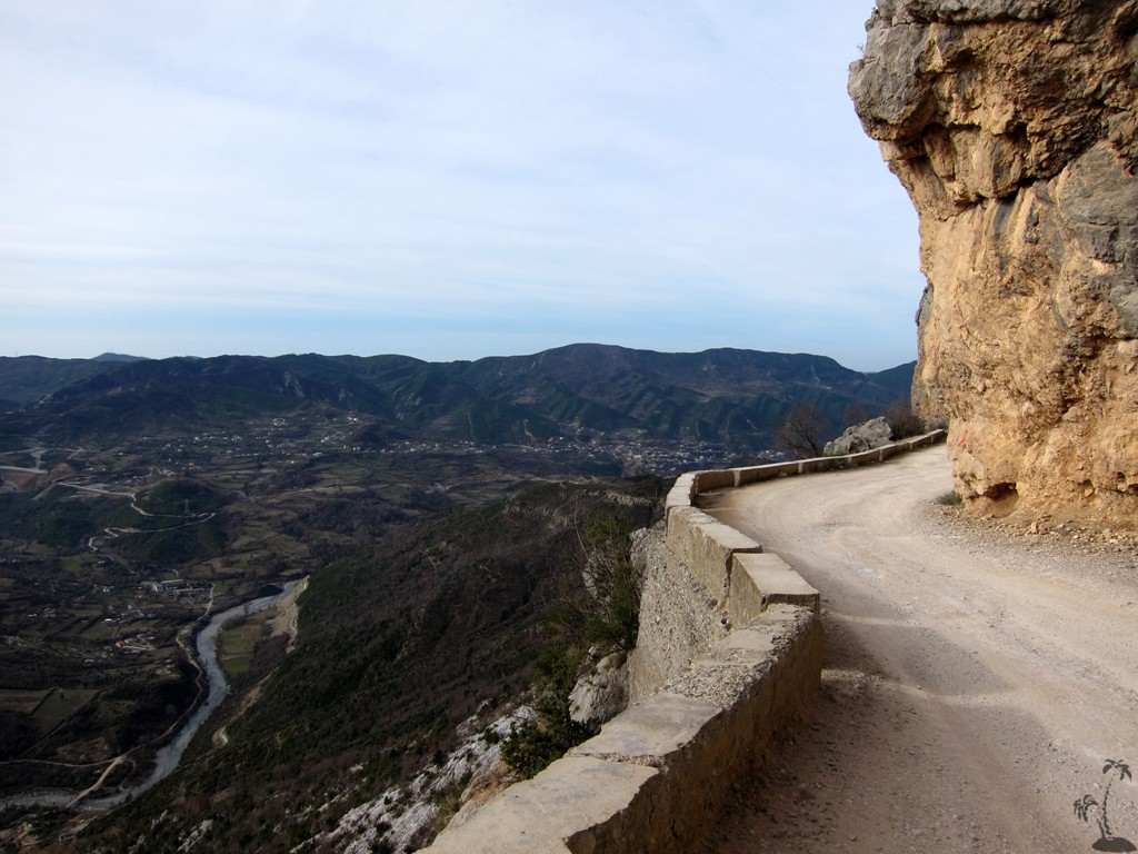
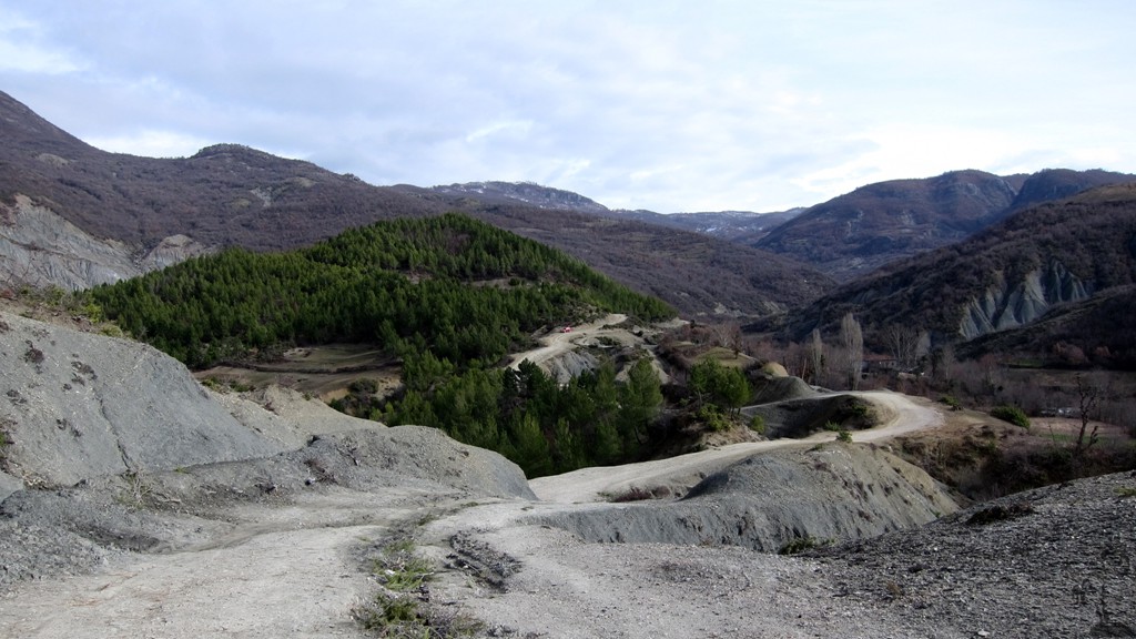
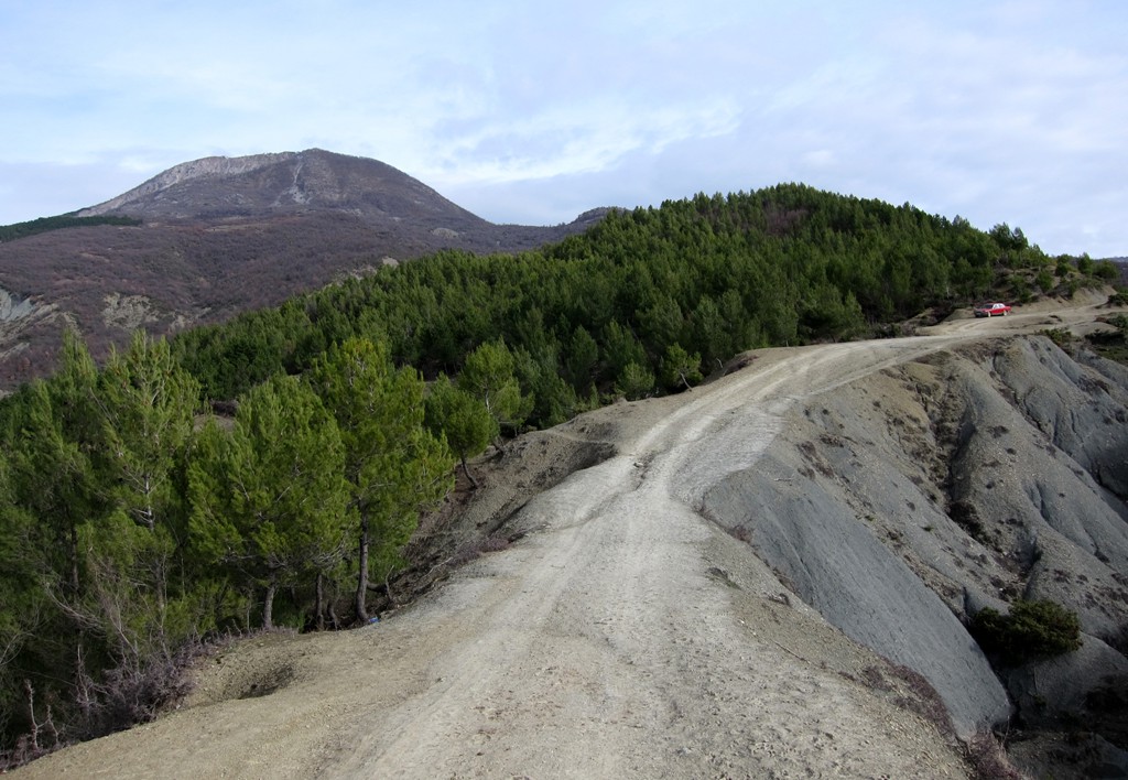
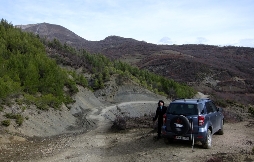
The Drive to the Trailhead: Leave Tirana for Elbasan, and turn into the direction of Ibe and Pellumbas. Follow the road through Pellumbas and continue up Mali i Pashkasheshit. after 17 kilometers or so from the Tirana - Elbasan road, having passed the schhol in Kllojkë, you reach the fork towards the trailhead. Turn left htere and continue for a few hundred meters. Park where convenient and start walking.
| Maximum altitude: | 792 meter |
| Minimum altitude: | 198 meter |
| Cumulative height: | 694 meter |
| Cumulative length: | 17,2 kilometers |
| Difficulty | easy |
| Time: | 1 hour |
| Date of this record | February 2013 |
| Download GPS info: | To the trailhead of Mali i Fagut |
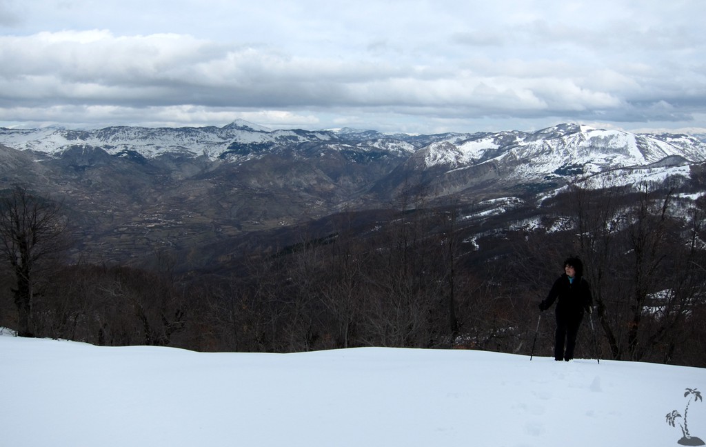
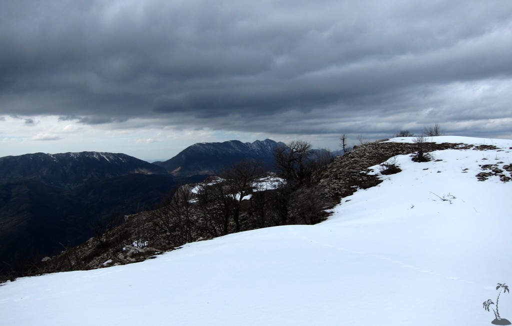
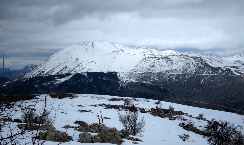
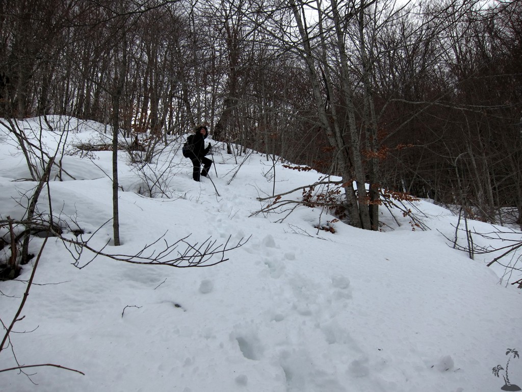
The Hike:
| Maximum altitude: | 1426 meter |
| Minimum altitude: | 588 meter |
| Cumulative height: | 855 meter |
| Cumulative length: | 4.82 kilometers one way |
| Difficulty | moderate |
| Time: | 3 hours up, 2 hours down |
| Date of this record | February 2013 |
| Download GPS info: | Mali i Fagut from Kllojkë |
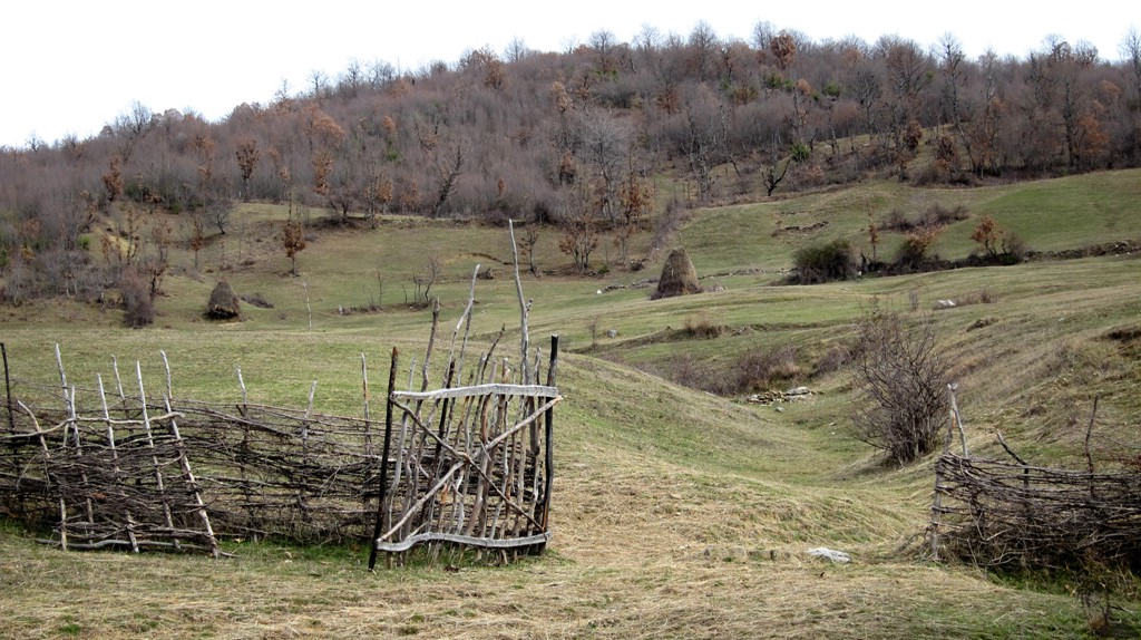
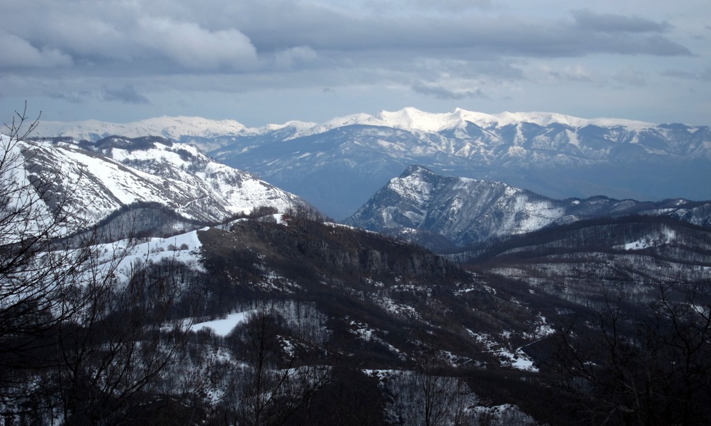
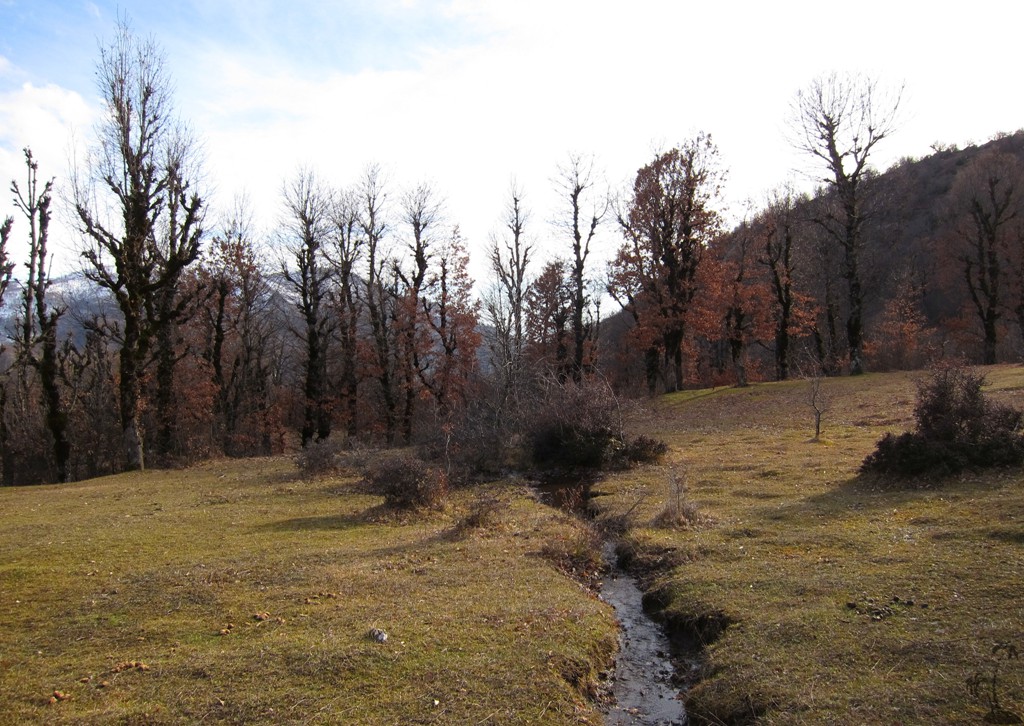
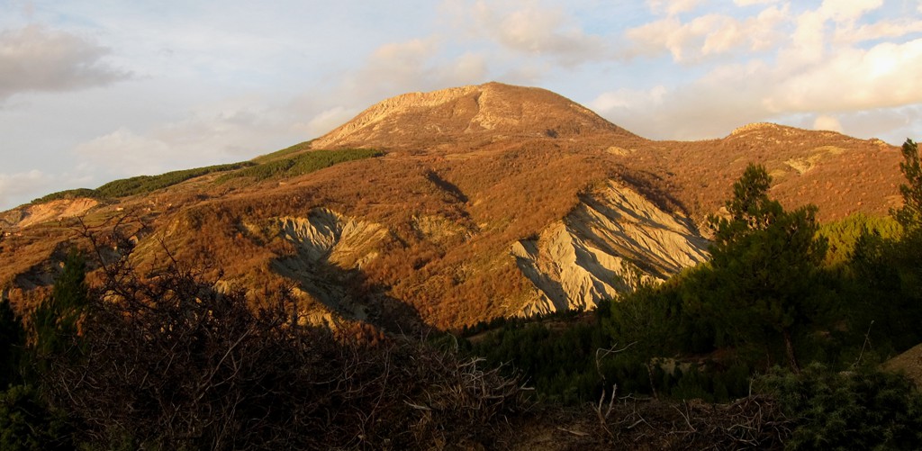
General location and approach: Mali i Pashkasheshit (see first image) usually prevents the view to Fagut, though Fagut is considerable higher. It is also fascinating that one has to drive virtually to the top of Pashkasheshit, just in order to take a slow winding road to Kllojkë. The farmland here is abundant and rich, and ofters nice contrasts to the higher mountains around and the busy roads near the Tirana axis.
Other Information: Near the summit, our trail joins Endrit Shima's trail (to be seen on Wikiloc). In principle, you could walk up one way and down the other. You only need to beam your car from Kllojke to Sheengjergj (or vice versa) or rely on rather unreliable public transport.

GPS and trailmaps: The map and
trailinformation is generated by
![]() , based
on GPS information collected from the actual hike. Waypoints
can be downloaded to a GPS device from Wikiloc. If necessary, use
GPSBabel to
convert GPS data to different formats. For more
hike descriptions by Palmtreetreeproduction, browse this
website or visit Wikiloc
and search for "Palmtreeproduction". You may also find
nearby trails from other authors.
, based
on GPS information collected from the actual hike. Waypoints
can be downloaded to a GPS device from Wikiloc. If necessary, use
GPSBabel to
convert GPS data to different formats. For more
hike descriptions by Palmtreetreeproduction, browse this
website or visit Wikiloc
and search for "Palmtreeproduction". You may also find
nearby trails from other authors.
Google Earth: You may also view the trail in 3D when viewing it in Google Earth, which you need to have installed on your computer. The 3D perspective allows a good preview of gradients, steepness, possible views and is generally helpful when planning a trip.