PALM TREE PRODUCTIONS
back to Albania site back to hikes and climbs back to Locations and Travel
The Notorius Frasher Loop![]()
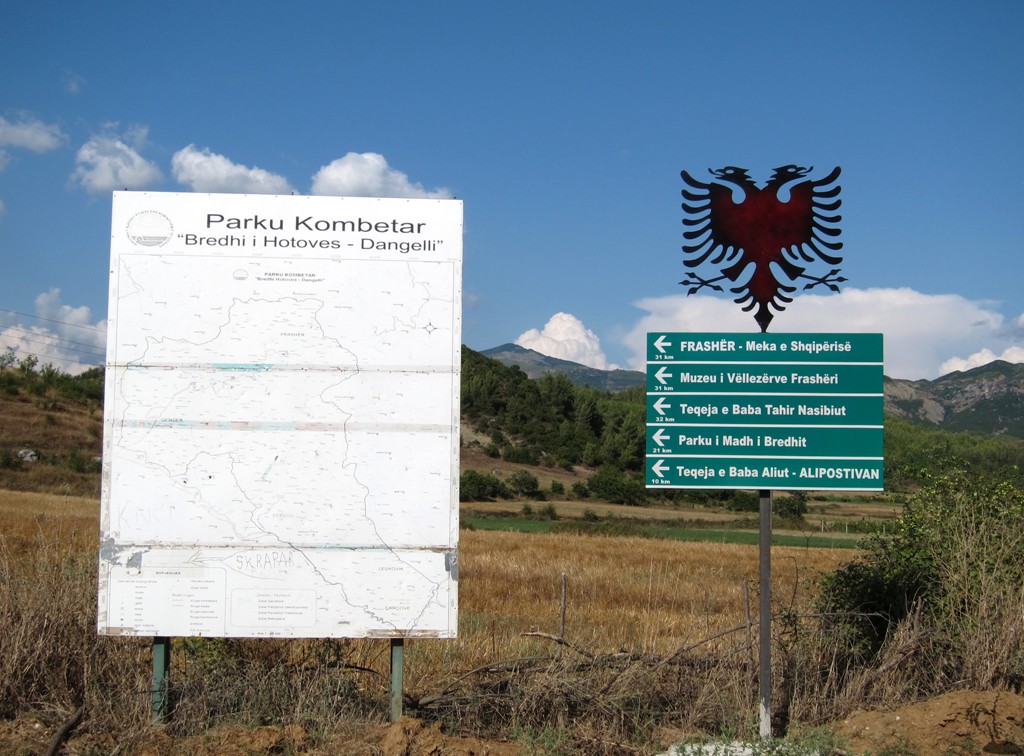
Summary: Frasher can be reached very comfortably on a rather good dirt road, taking the turn off from the Kelcyre-Permet road near Piskove. It is an easy but long drive of almost 30 kilometer, passing through the Bredhi i Hotoves Park.
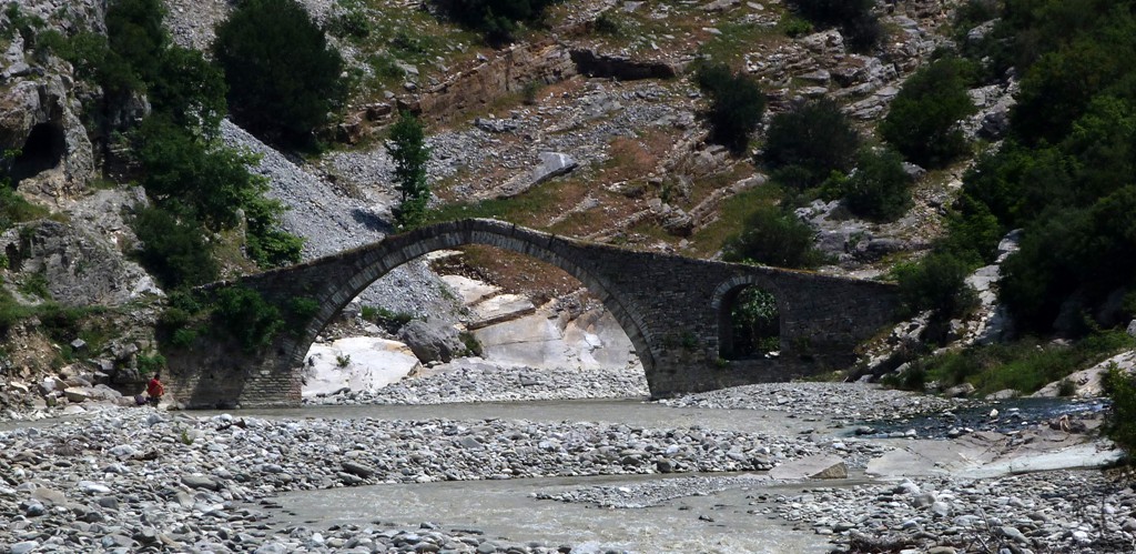
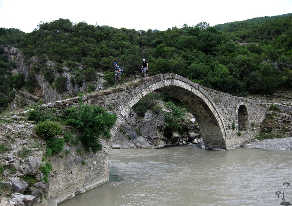
An alternative way starts at the Lengarice hot springs and canyon. The Lengarice spring is a tourist destination in itself, with asphalt road, an ancient arched bridge, with natural warm pools and views towards Nemercke mountain. In season, a small bar is open, and it might be difficult to find privacy. Waste management remains a concern.
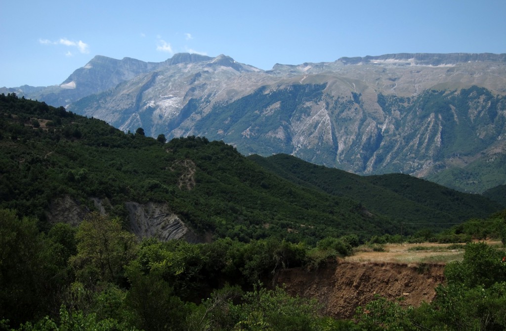
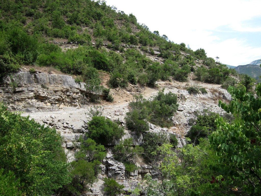
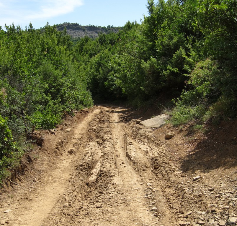
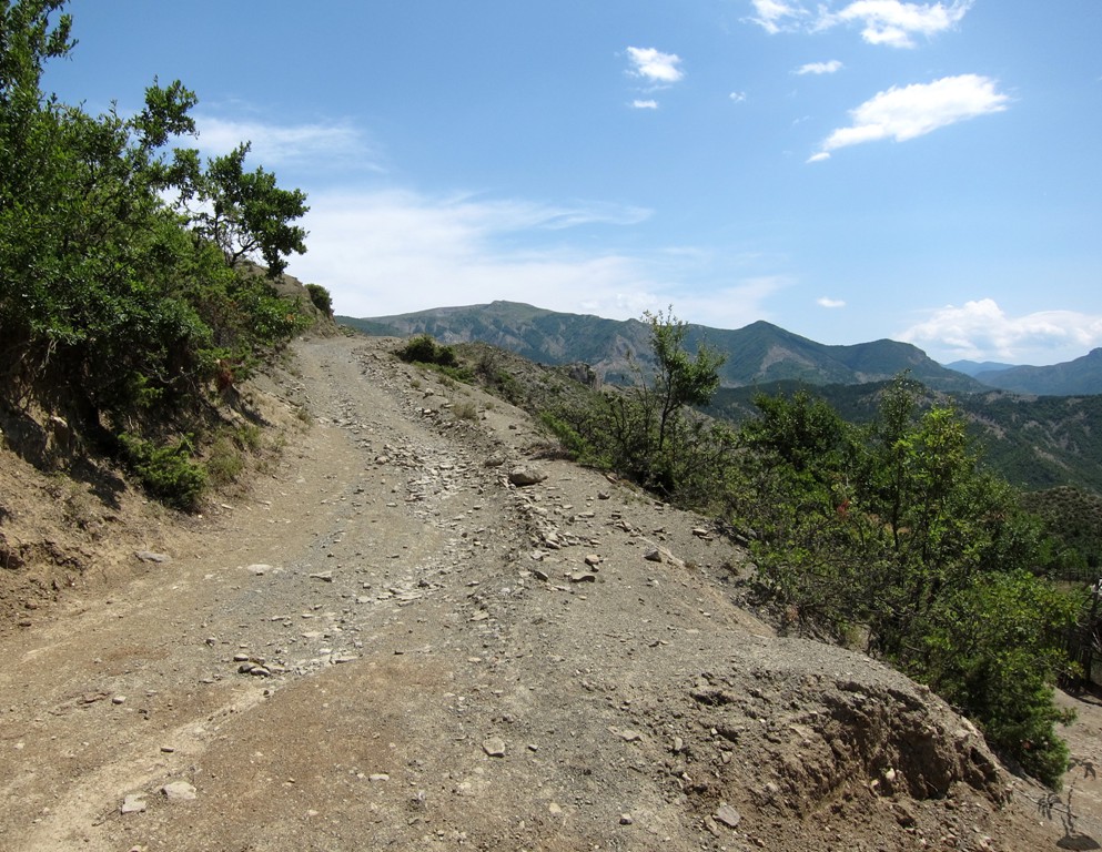
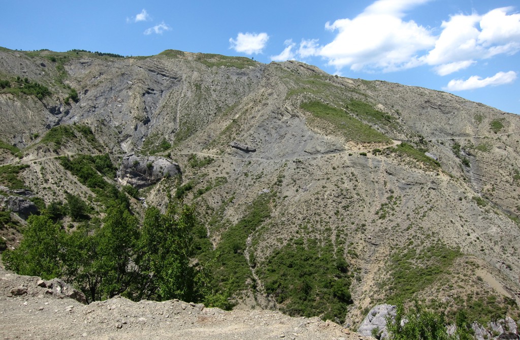
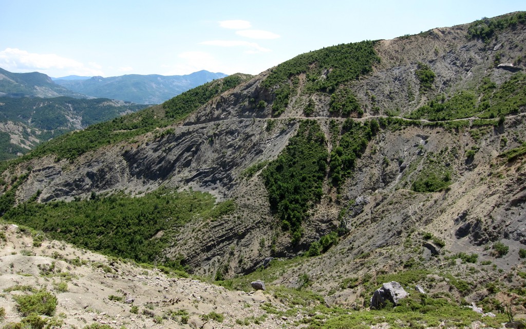
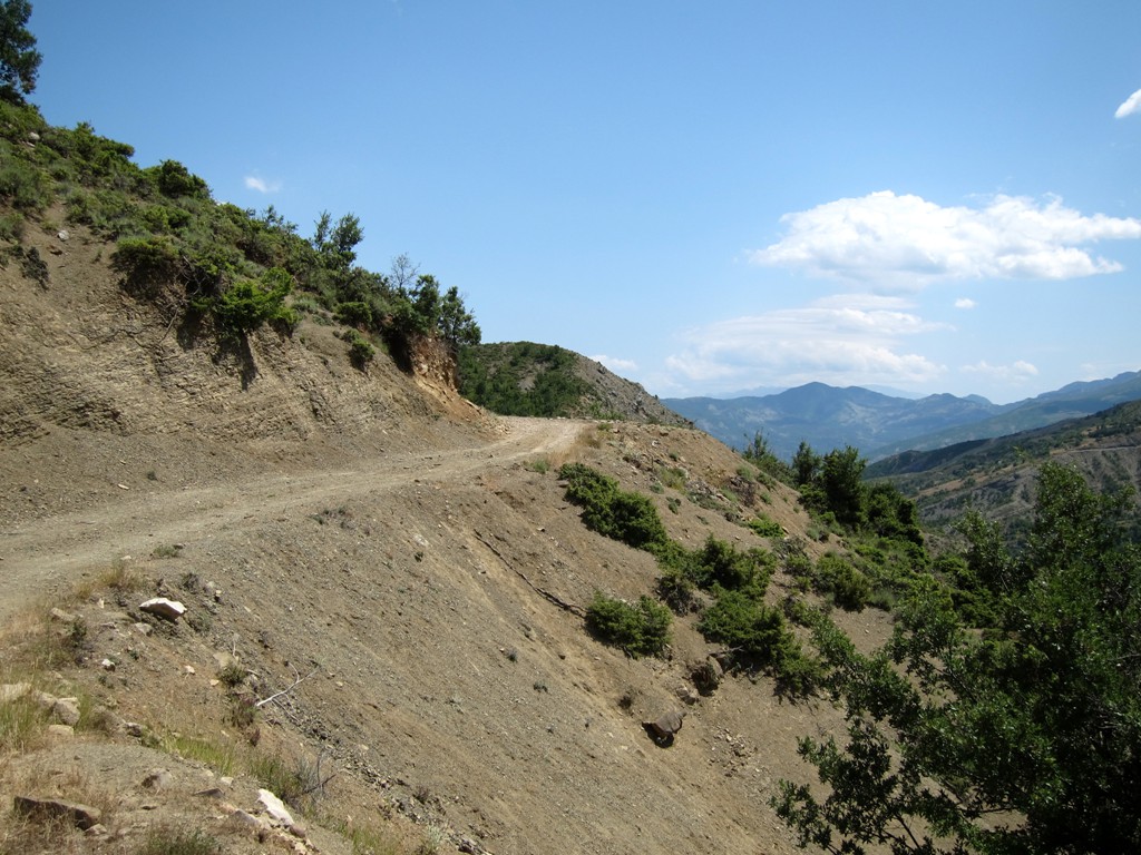
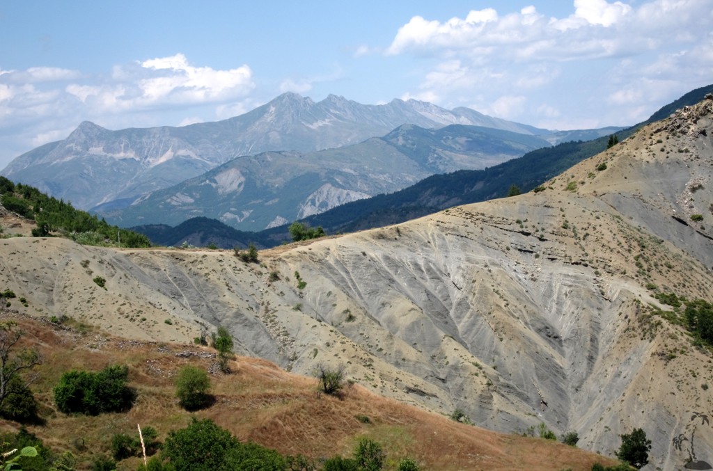
Our trail crosses the Lengarice river here and continues as dirt road. For the next 7.5 kilometer, until the upper bridge across the Lengarice canyon at waypoint 05, the road is quite improved owing to the construction work going on in the upper Lengarice river. Starting from the bridge up to the village Ogren-Kostrec and possibly beyond, the road is narrow and extraordinarily exposed. It crosses steep gravelly slopes and what appear to be sheer rock faces, with narrow bends and stretches where you hope nobody will be coming your way. The track is not very difficult in itself, in terms of technicalities such as unevenness of the surface, protruding rocks and the like, but the exposure does not let you forget where you are. There are a few spots that can turn muddy in or after rain, and the trail should only be done in dry conditions.
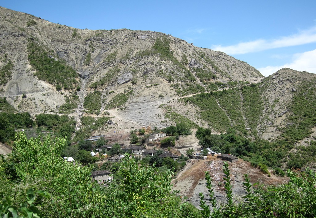
The worst is over once you arrive in Gostivisht (when coming from Lengarice), but not quite. Once in Ogren-Kostrec you can take a deep breath.
It takes about 3 hours from Lengarice to Frasher.
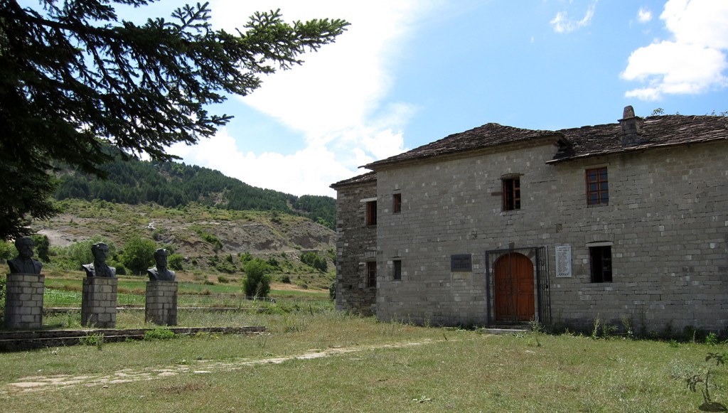
In Frasher, the museum was locked, without a sign telling where to find the person with the key. The villages does not look very active.
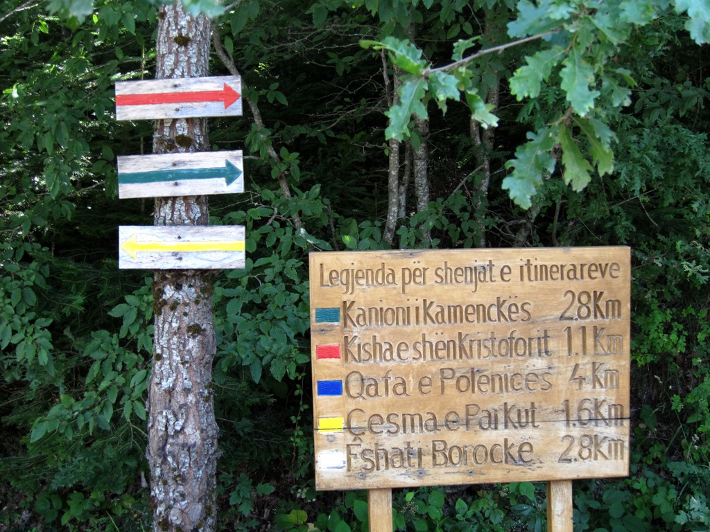
Shortly after Frasher one reaches the Bredhi i Hotoves Park, which has a picnic place, signposted hiking trails and a ranger station. The air was cool on a hot July day.
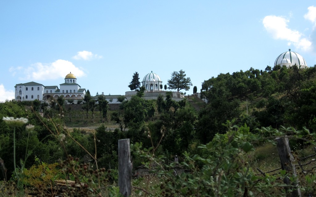
We also paid a short visit to the Teqe Alipostivan, which is still under construction and looks from the distance like the Taj Mahal. It is impressive also from close-up. We were neither allowed entry (closing time for visitors is 4pm, we were told).
| Maximum altitude: | 1247 meters | ||||||||||||||||||||||
| Minimum altitude: | 236 meter | ||||||||||||||||||||||
| Cumulative height: | 1937 meter | ||||||||||||||||||||||
| Cumulative length: | 72 kilometers | ||||||||||||||||||||||
Difficulty
| difficult, mainly because of the exposure |
Time:
|
6 hours |
Date of this record |
July 2014 |
Download GPS info: |
Frasherloop |
|
| |
|
|
|
|
|
|
|
|
|
|
|
|
|
|
General location: Near Permet.
Other information: As said, Frasher can be visited without wrecking one's nerves, by going straight from the turn off at Piskove.
Google Earth: You may also view the trail in 3D by clicking "view in Google Earth" when on Wikiloc. You need to have Google Earth installed on your computer.