PALM TREE PRODUCTIONS
back to Albania site back to hikes and climbs back to Locations and Travel
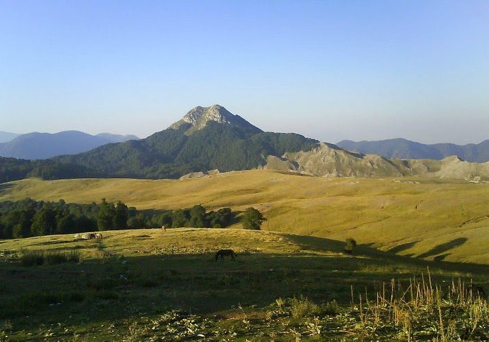
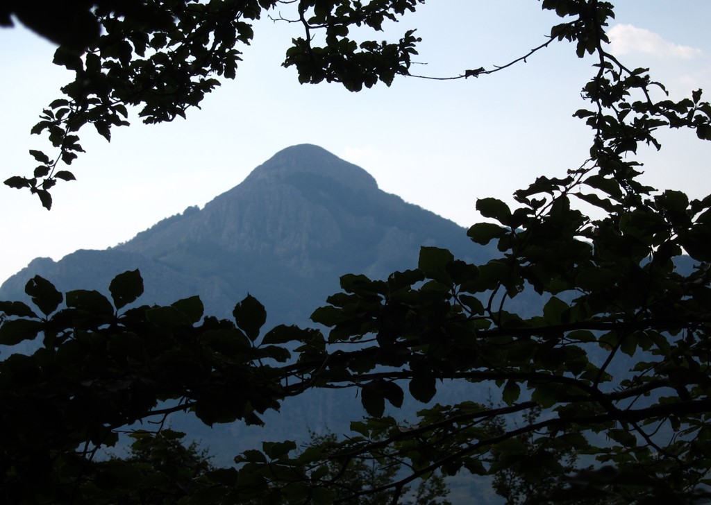
Maja e Gaferit![]()
![]()
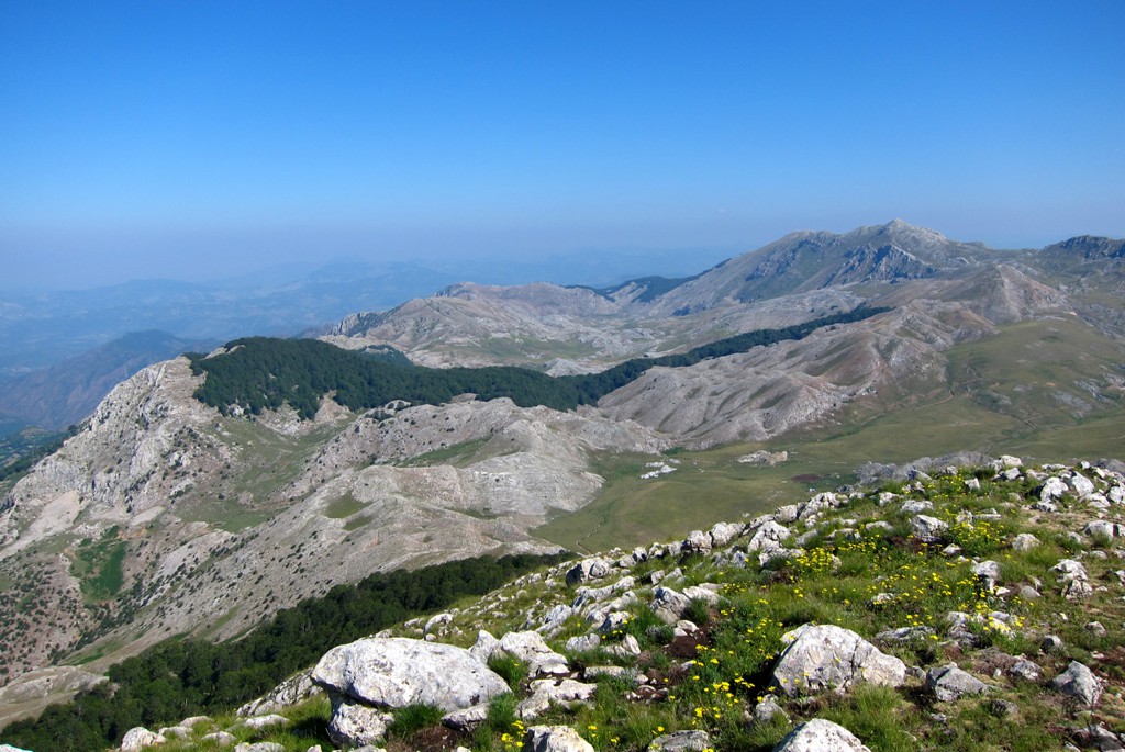
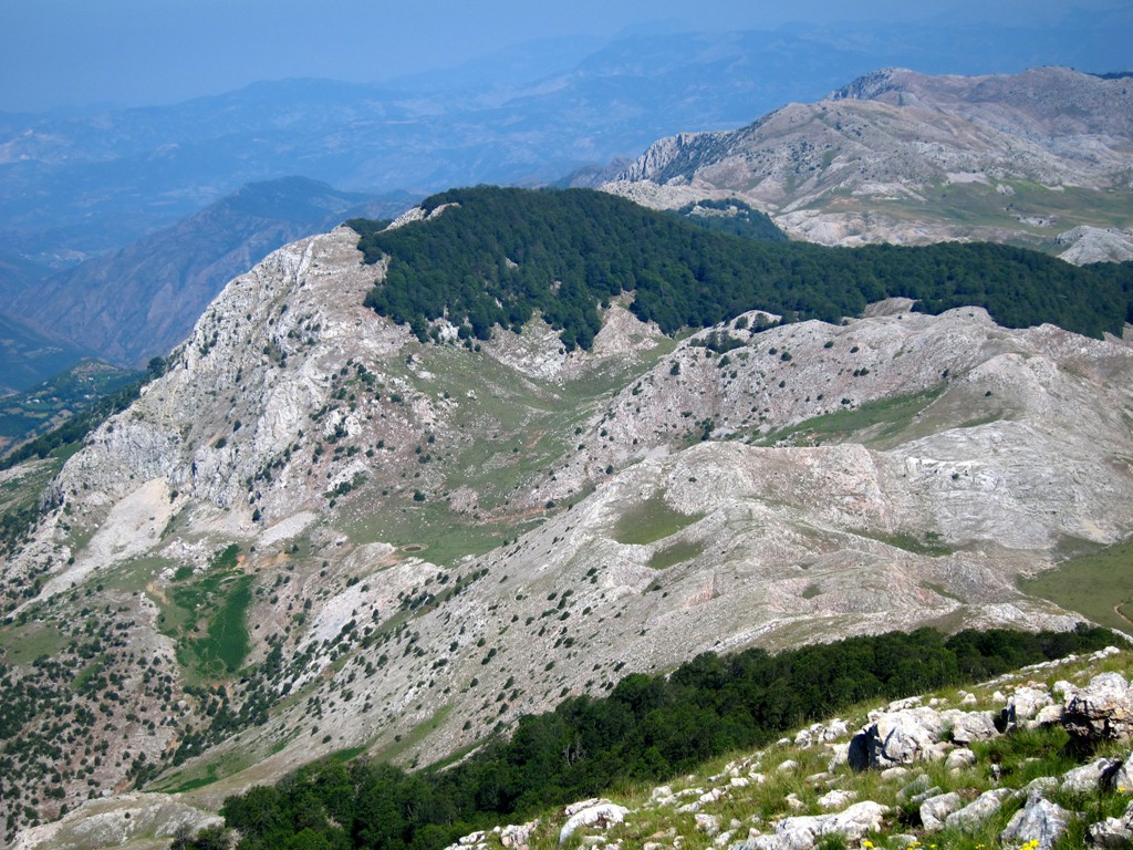
Summary: Who wants to climb a mountain that nobody knows and nobody sees? Well, once you happen to see it (as we did when we were climbing Mali i Polisit), you may actually want to hike Maja e Gaferit. Maja e Gaferit is for connoisseurs.
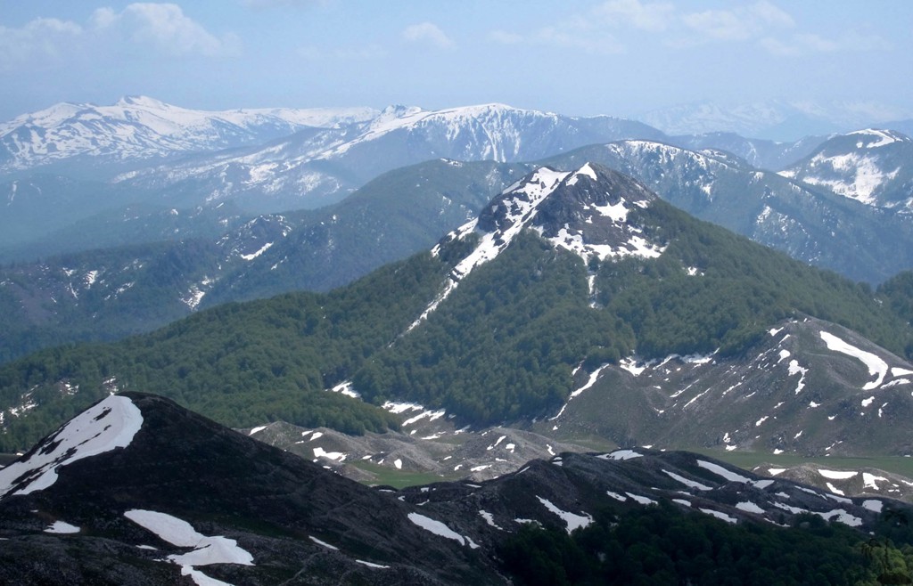
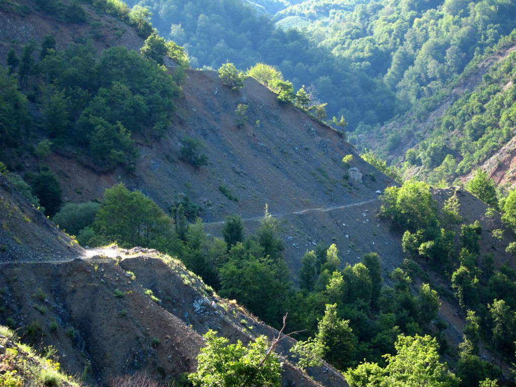
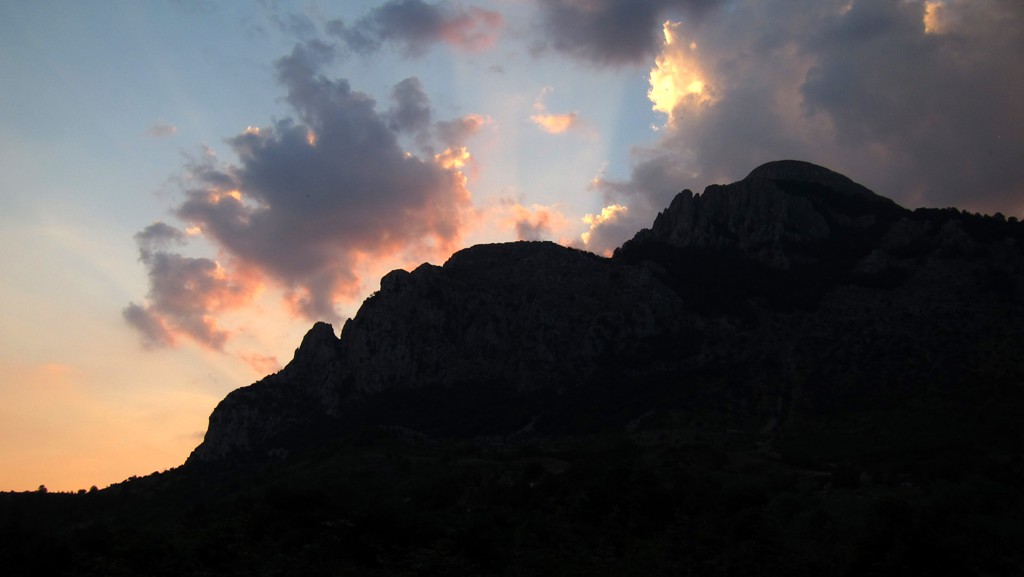
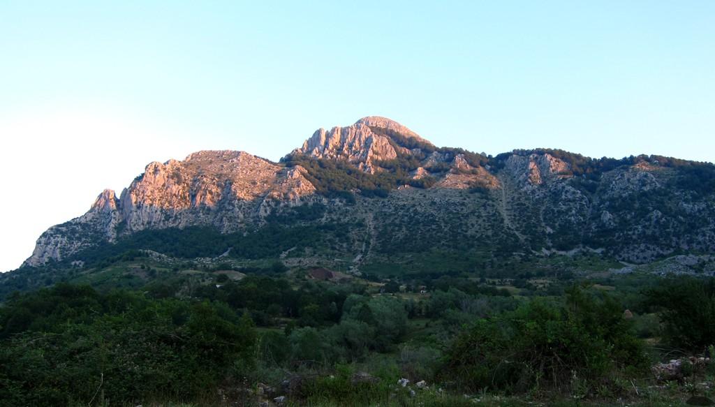
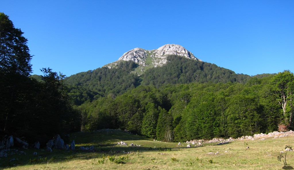
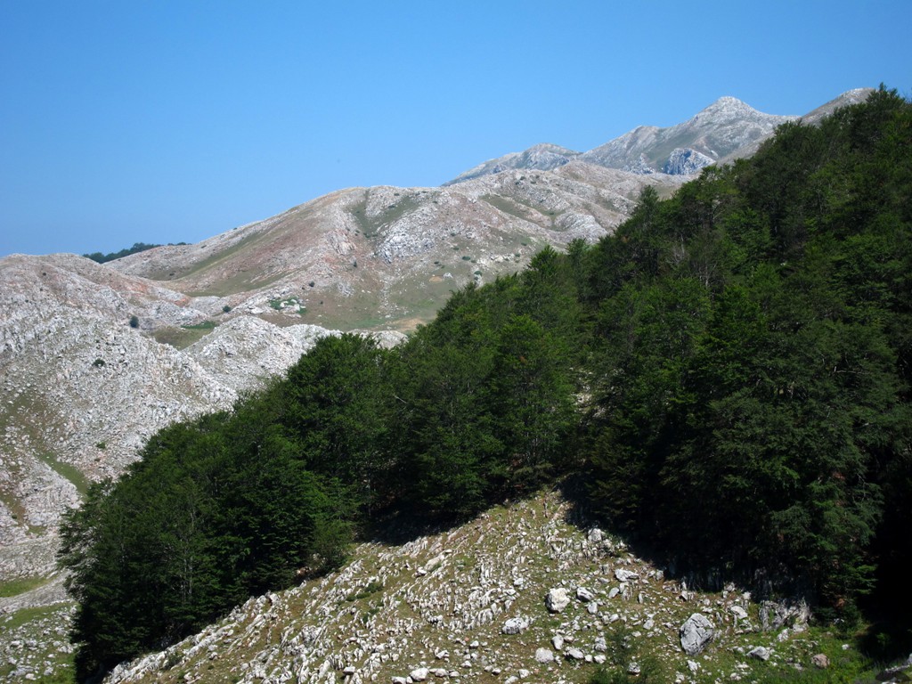
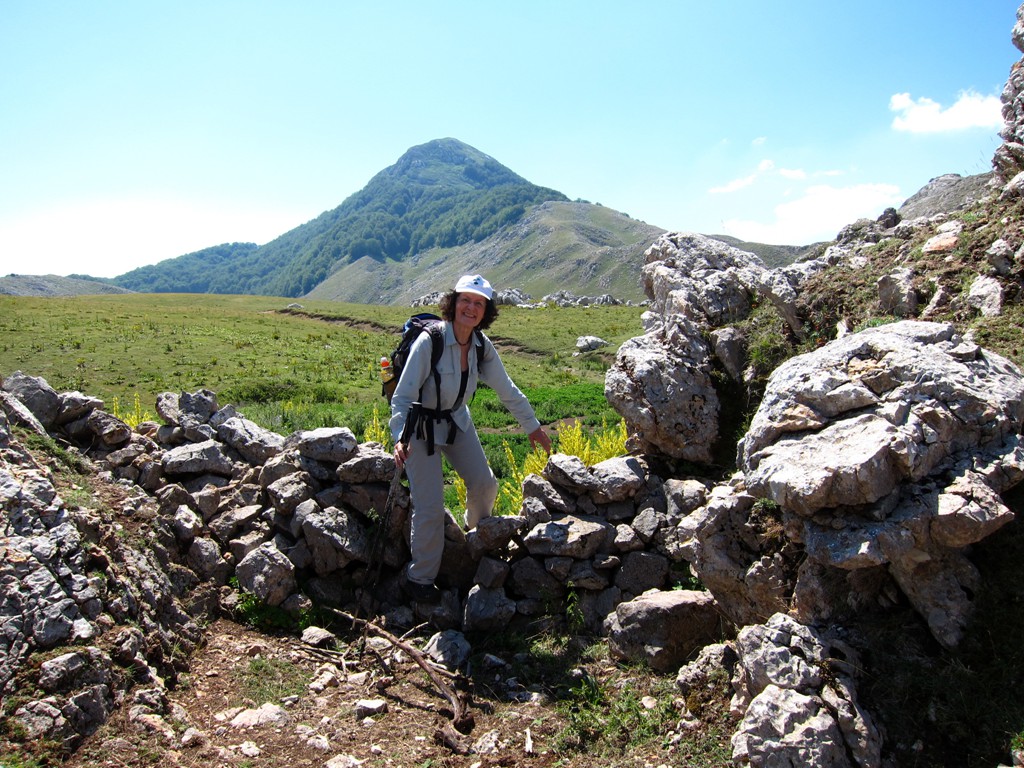
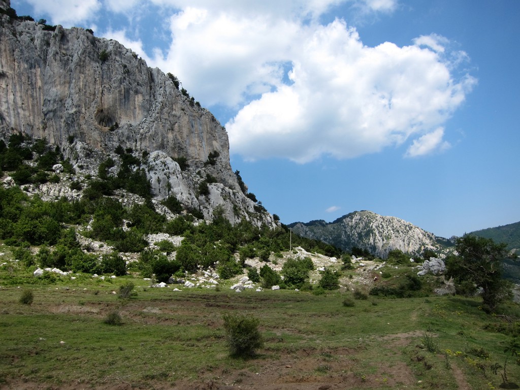
With 1890 Meter, Maja e Gaferit has a respectable height for a central Albanian mountain, and it looks beautiful. It has a 300 Meter high rocky summit pyramid peaking out of a dense patch of forest standing at the edge of a high plateau, with an elegant. straight, grassy couloir (gully) leading right up to its summit.
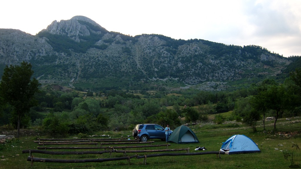
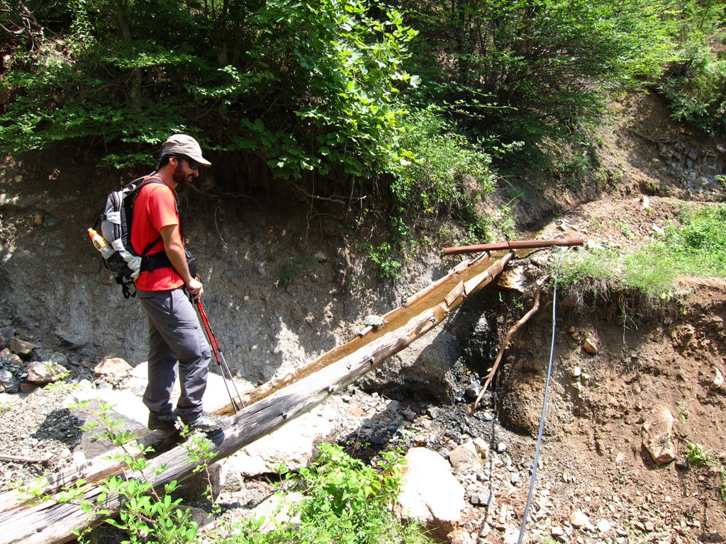
One of its misfortunes is that it stands in the shadows of Mali i Polisit, which is 80 or so meters higher. The other is the awfully long drive to its trailhead, which might deter anyone but the hardiest off road enthusiasts. Our trailhead was Breshke at 1200 Meter altitude, a village where three families live in summer, and which has no electricity any more. This surprised us, as even remote villages in Albania tend to be connected to the grid.
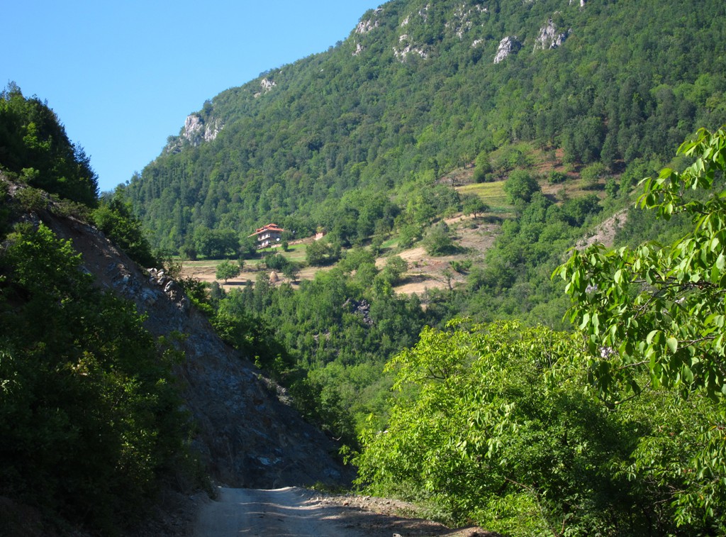
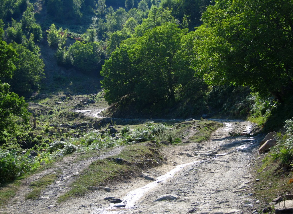
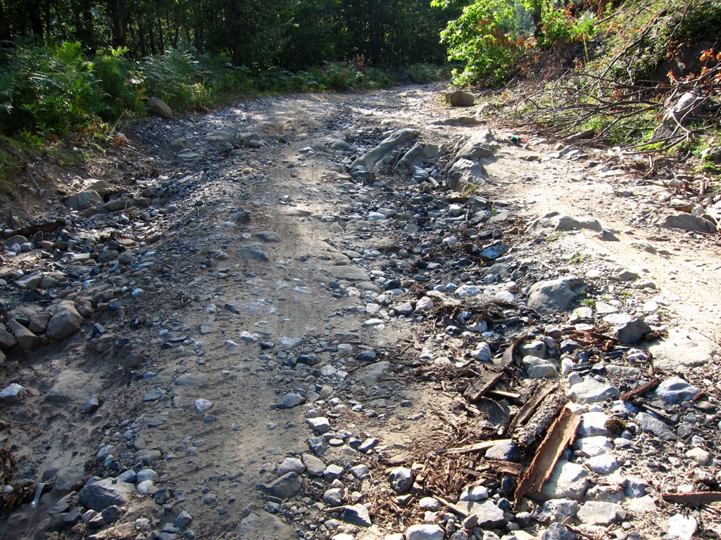
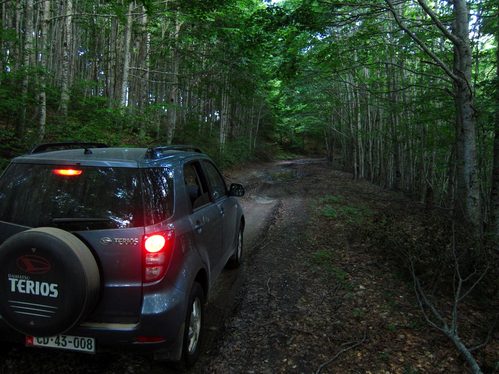
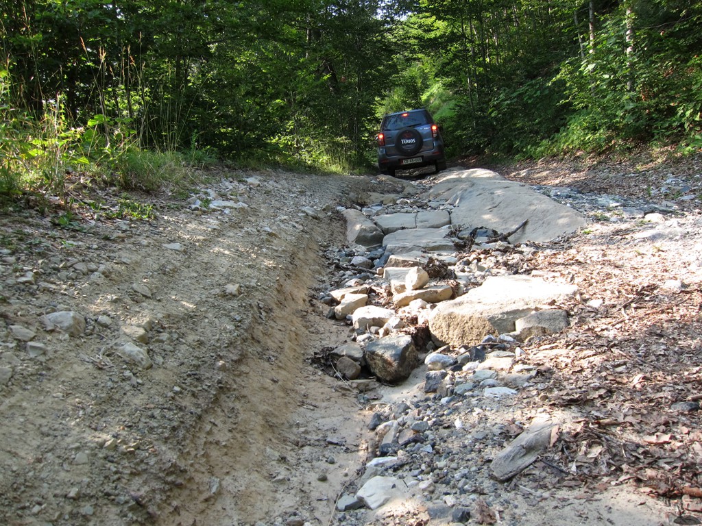
The Drive: From Elbasan, follow the highway to Qukes. Turn right into the Shkumbin valley, on a solid but bumpy dirt road. Near Dritaj, turn right and pass Stranik, Stravaj and Shqiponjë. For these 15 kilometers, the dirt road is in reasonable condition. From Shqiponjë, a 4WD is required, and movement will be very slow for the next 17 kilometer. Plan close to two hours for the trip from Shqiponjë to Breshke. Breshke is also called Gafer on some maps. Locals seem to refer to Breshke (Tortoise in English, or Schildkröte in German).
| Maximum altitude: | 1487 meter |
| Minimum altitude: | 442 meter |
| Cumulative height: | 1266 meter |
| Cumulative length: | 32.3 kilometer from the turn off to Dritaj |
| Difficulty | moderate with a few difficult spots, and long |
| Time: | 3 hours minimum |
| Date of this record | July 2013 |
| Download GPS info: | Drive to Breshke |
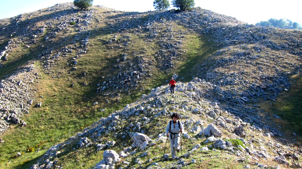
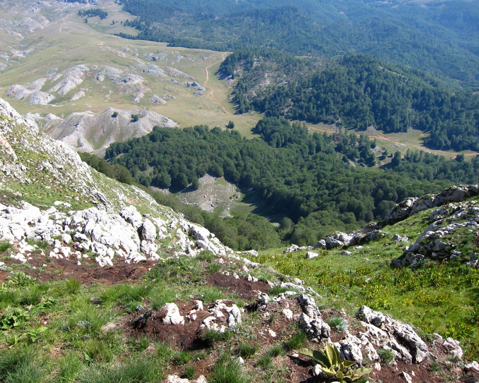
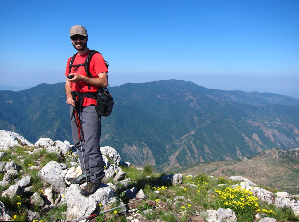
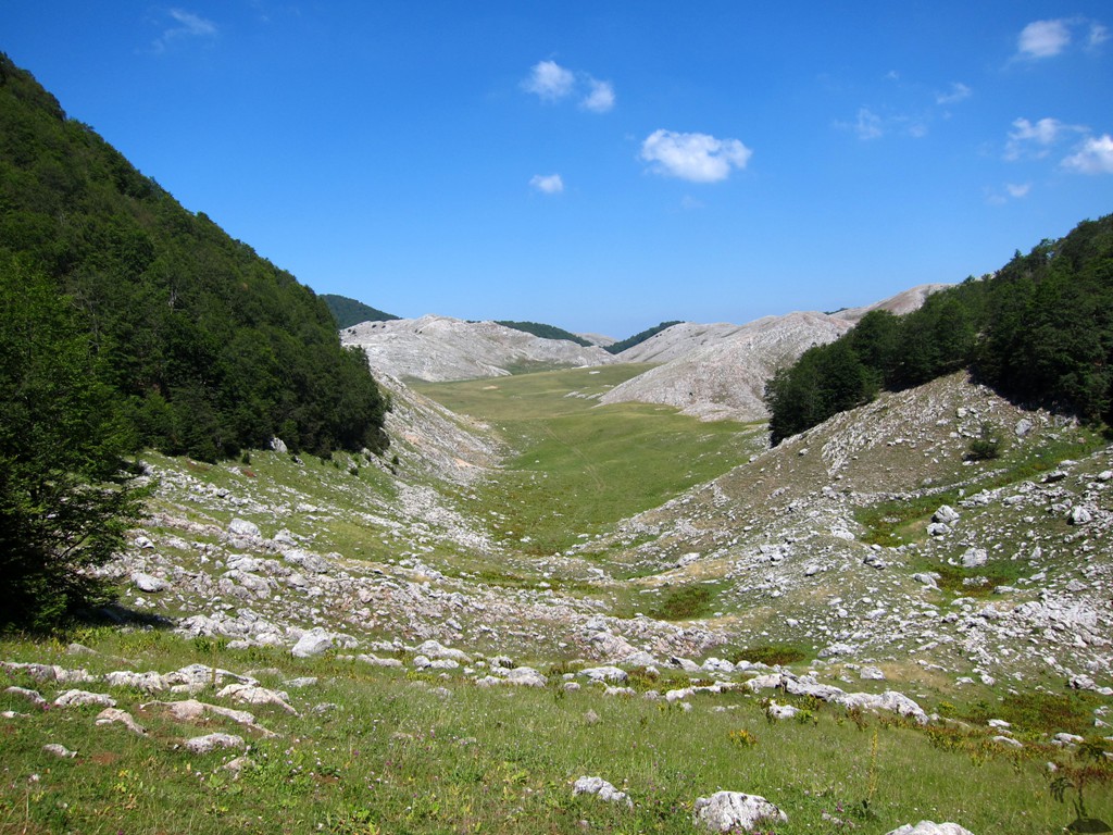
The Hike: We started at 6:30 in the morning at arrived at the summit at 9:15 am. Something possessed us and we decided to circumnavigate Maja e Gaferit, even though it promised to be hot. On top of this, google earth images proved to be outdated and unreliable, leading to detours and an unexpectedly long day.
One way to make the circumnavigation shorter is to directly ascend to waypoint 03-Pass, when approaching it along the grassy plains. It also should be possible to cut the trail short by directly connecting betwen waypoint 06-Fork and 11-Bjeshke. At waypoint 09-Fork, one could opt to follow the road, which is lower than the foot path or mule trail. The road might not be shorter but allows for more comfortable walking. At waypoint 10-Fork, the left fork is probably the better option.
Considering the long approach, a climb to the summit of Maja e Gaferit and back to the trailhead may be all what you need. For a good Albanian experience, go all the way around the mountain, preferably in the temperate season.
| Maximum altitude: | 1896 meter |
| Minimum altitude: | 1169 meter |
| Cumulative height: | 982 meter |
| Cumulative length: | 14.9 kilometers |
| Difficulty | moderate but steep to the summit and a long circuit |
| Time: | 9 hours, but less than 3 hours to the summit |
| Date of this record | July 2013 |
| Download GPS info: | Maja e Gaferit |
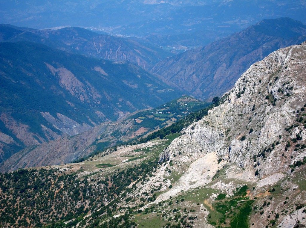
General location and approach: Deep in the forests of Elbasan region, where the districts of Elbasan, Librazhd and Gramsh meet.
Other Information: Another access to Maja e Gaferit is from Sopot, which can be reached by foot within 2 hours from the terminus of the furgon (minibus) going from Elbasan to Gurshpatë and Vilan. This would be a longer walk and a shorter drive.

GPS and trailmaps: The map and
trailinformation is generated by
![]() , based
on GPS information collected from the actual hike. Waypoints
can be downloaded to a GPS device from Wikiloc. If necessary, use
GPSBabel to
convert GPS data to different formats. For more
hike descriptions by Palmtreetreeproduction, browse this
website or visit Wikiloc
and search for "Palmtreeproduction". You may also find
nearby trails from other authors.
, based
on GPS information collected from the actual hike. Waypoints
can be downloaded to a GPS device from Wikiloc. If necessary, use
GPSBabel to
convert GPS data to different formats. For more
hike descriptions by Palmtreetreeproduction, browse this
website or visit Wikiloc
and search for "Palmtreeproduction". You may also find
nearby trails from other authors.
Google Earth: You may also view the trail in 3D by clicking "view in Google Earth" when on Wikiloc. You need to have Google Earth installed on your computer.