PALM TREE PRODUCTIONS
back to Albania site back to hikes and climbs back to Locations and Travel
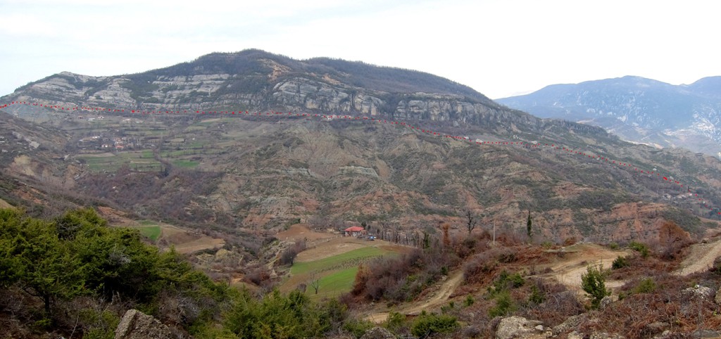
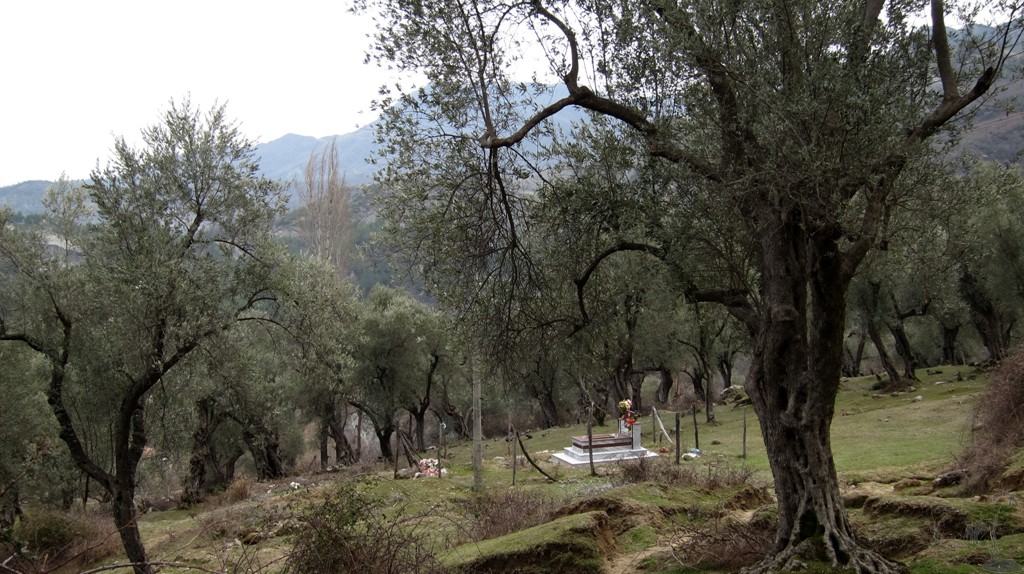
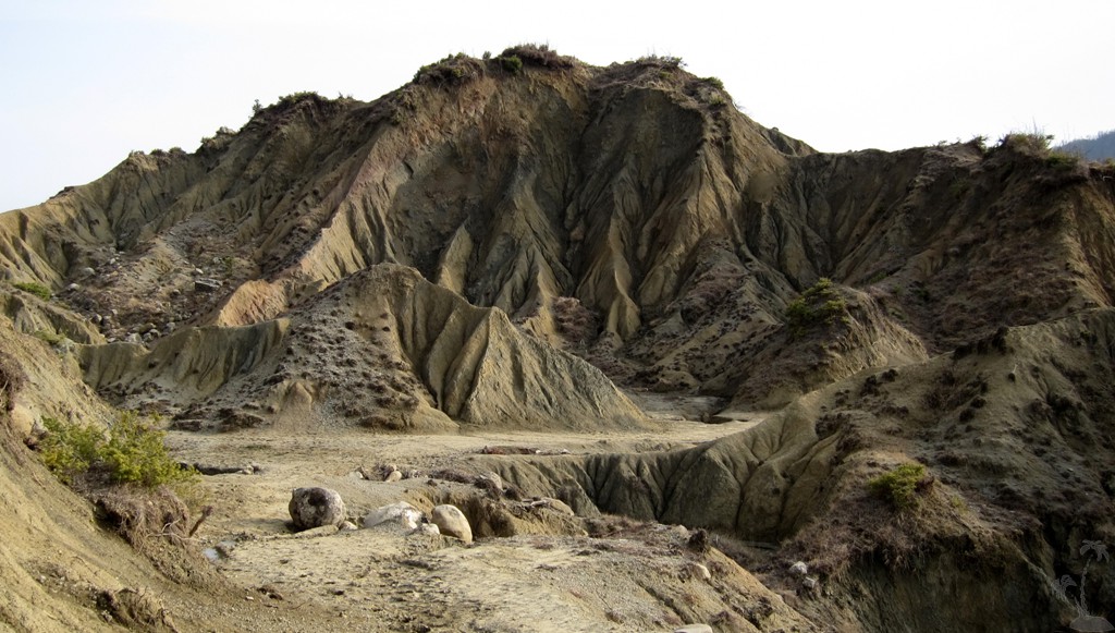
Gracen left and right and up and down![]()
Summary: Gracen lies on the road from
Tirana to Elbasan. Few travellers stop to look down on either side
of the ridge. Rarely any traveller will venture down from the ridge
to visit the lower lying villages, well knowing that it is harder to
get back and up than down. This loop hike descends first on the west
side of the ridge, visits three villages and then climbs back on the
ridge, just to descend on the east side (where the village of Gracen
is actually located). From there the trail leads to the center of
Mamël Commune, and back on the ridge and to the trailhead.
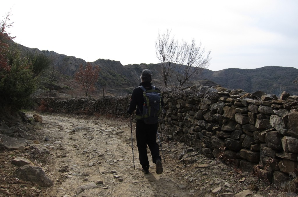
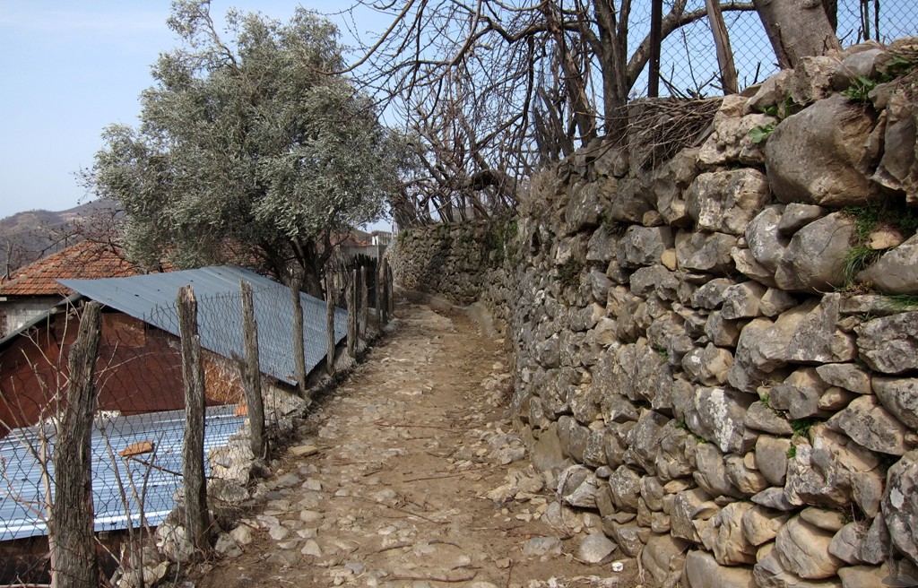
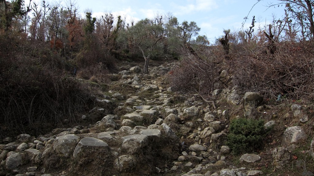
The trail is a combination of rarely used farmroads, short pieces of
asphalt, roads fallen in complete disrepair for many years, and
footpaths that connect the many homesteads and satellite villages.
Generally the walking is easy, but orientation can be difficult.
With 18 kilometers the trail is quite long, and the total ascent is
about 1000 Meter. This trail is like hiking two mountains
in reverse.
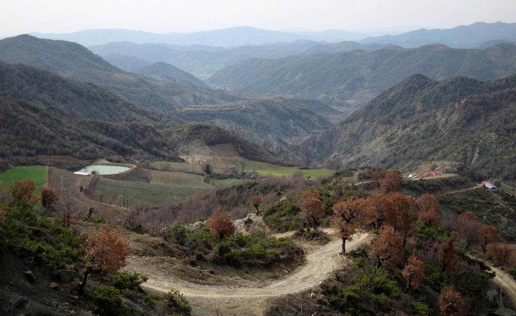
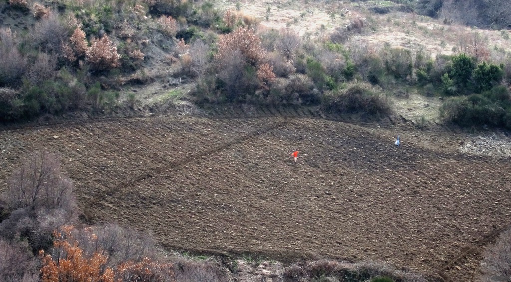
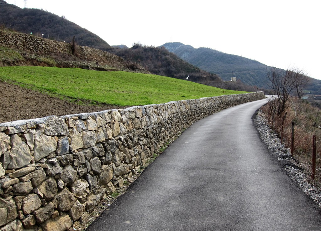
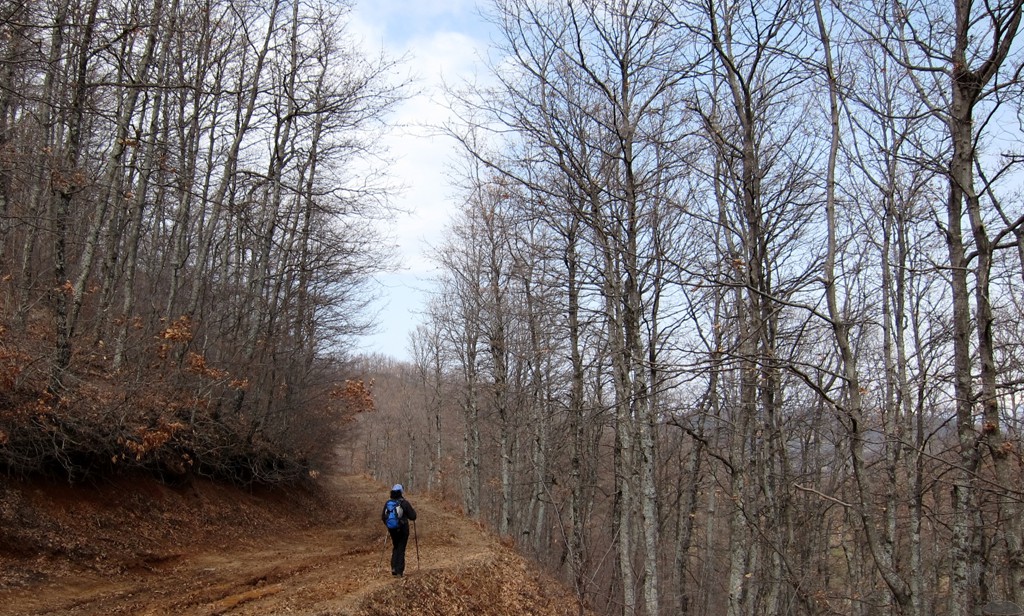
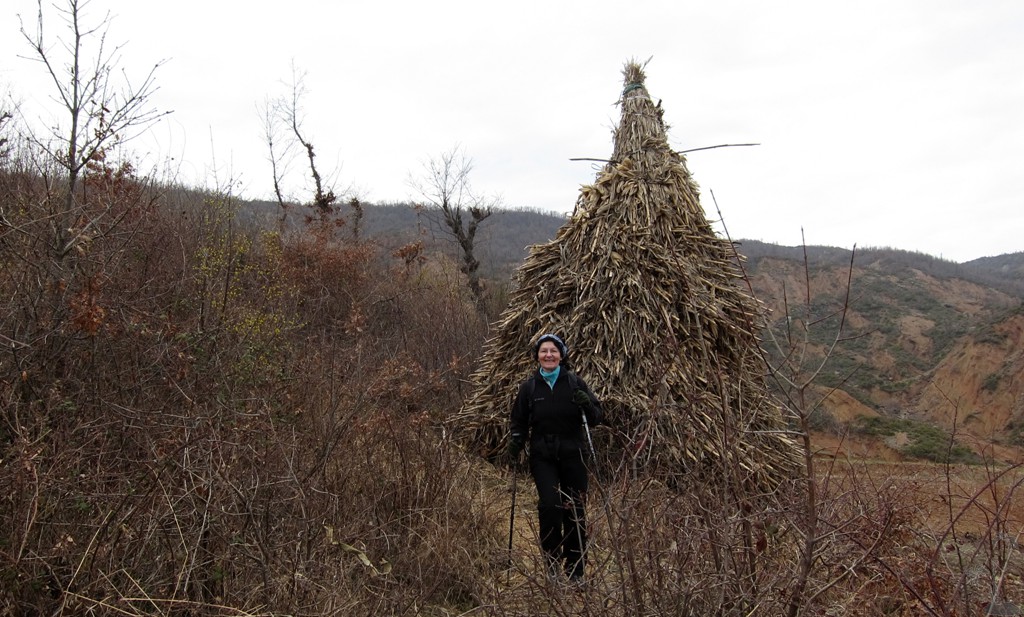
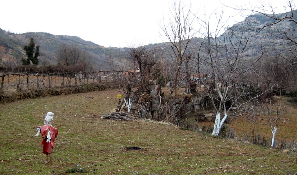
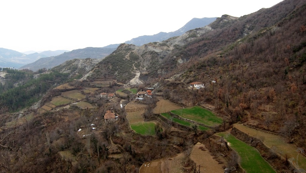
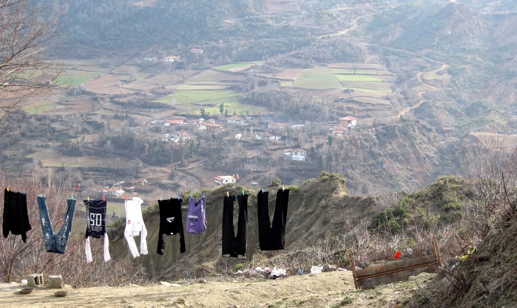
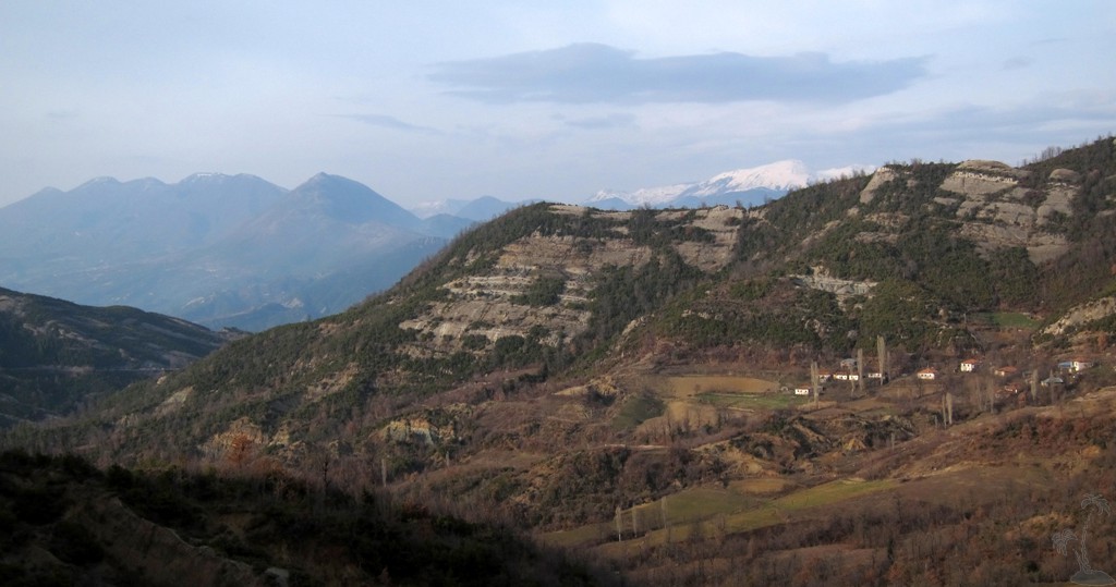
The trail west of the Tirana-Elbasan road is generally delightful
and through farmland. If you ever wondered where the fruits are
coming from that are sold along the stalls of the Tirana-Elbasan
road - now you know. The road from Tërbaq back up to the
Tirana-Elbasan road is now also asphalt - it has a good gradient
and leads through a nice pine forest.
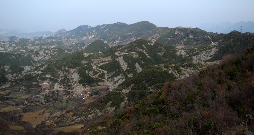
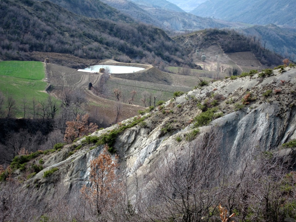
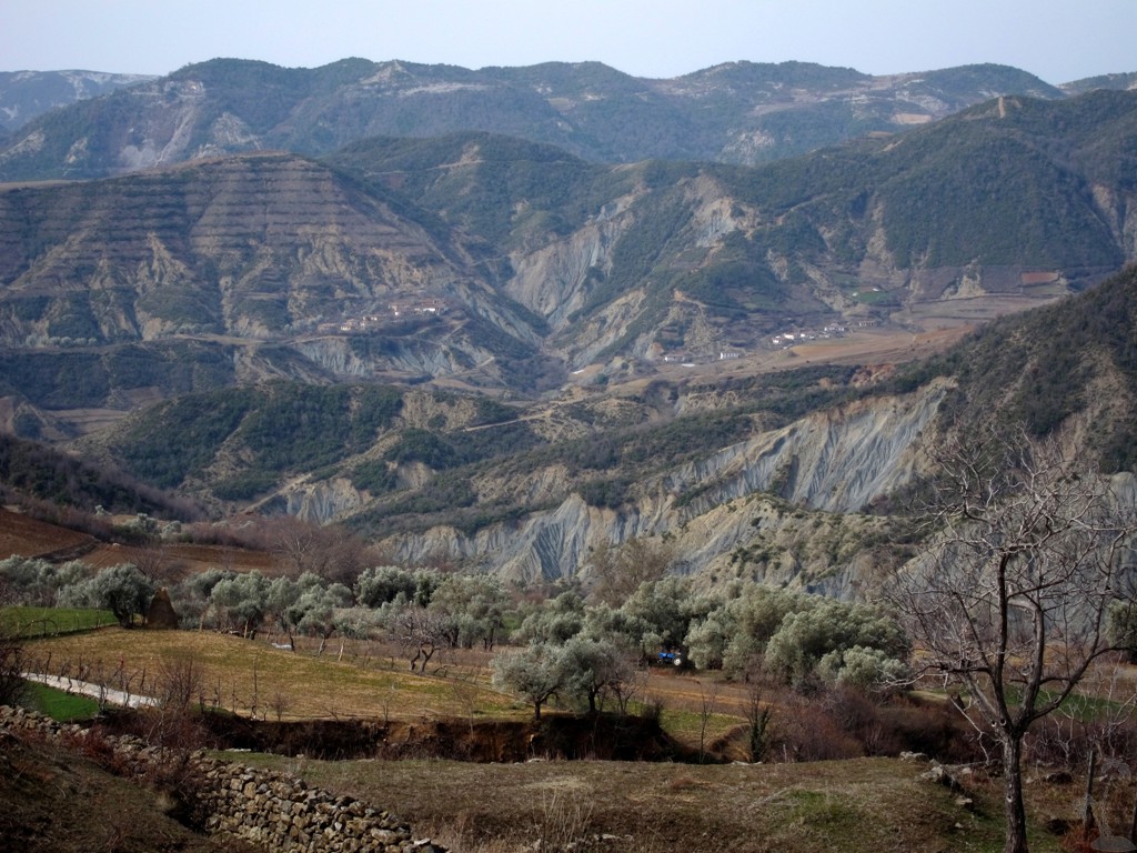
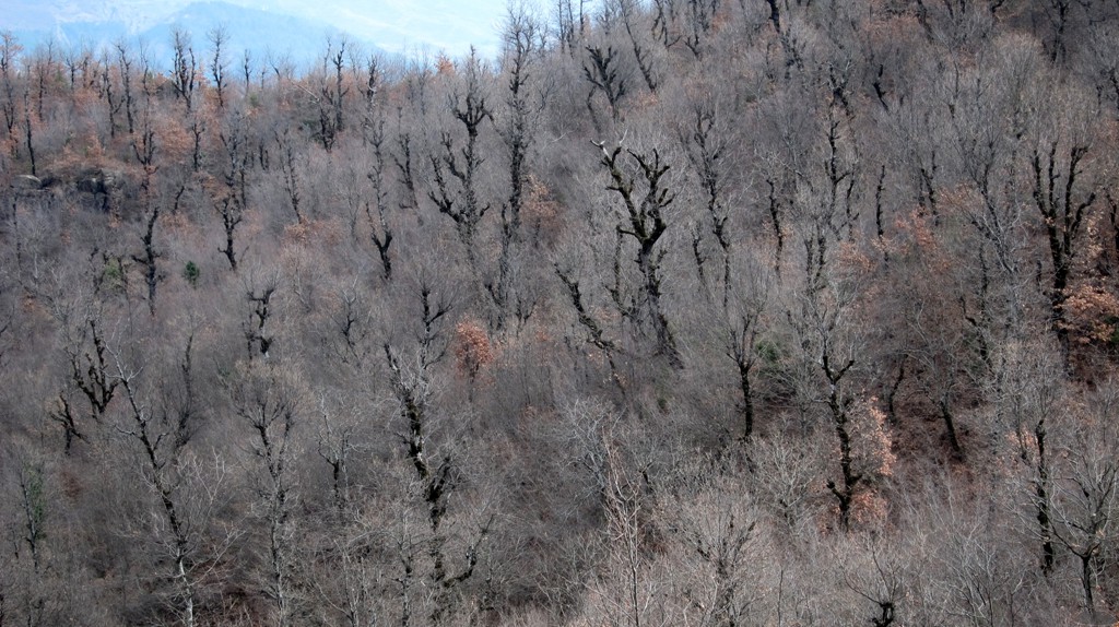
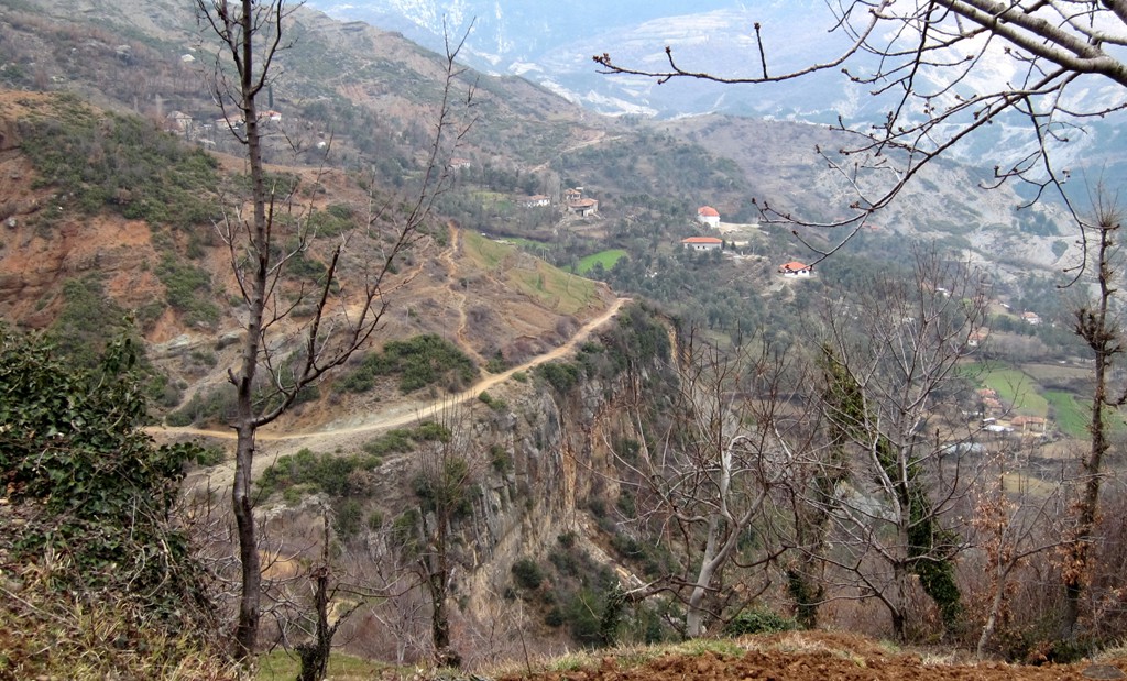
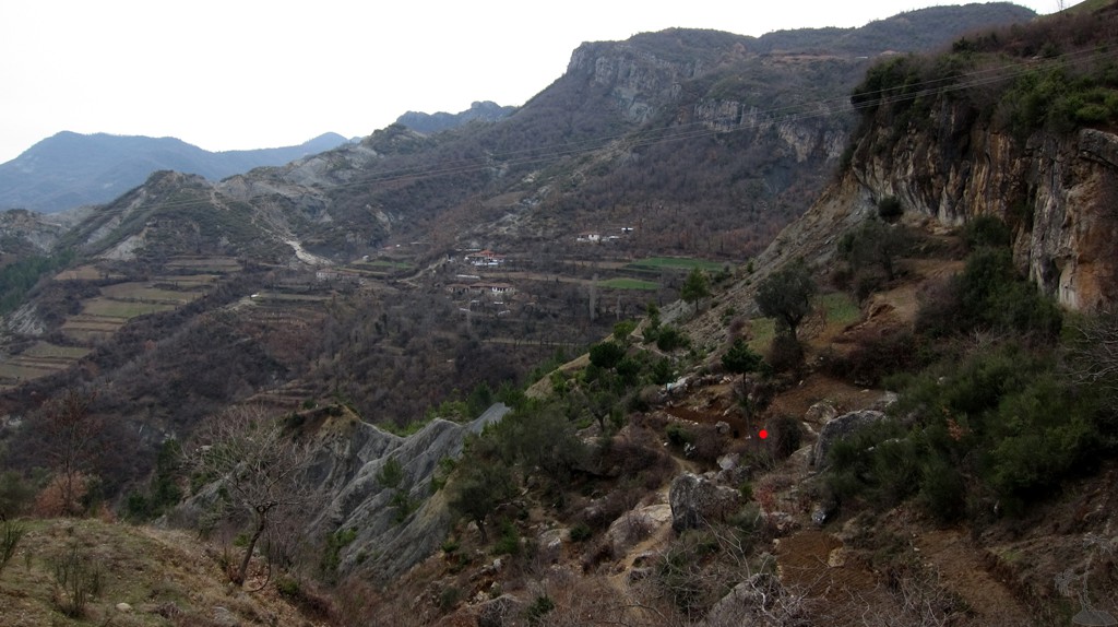
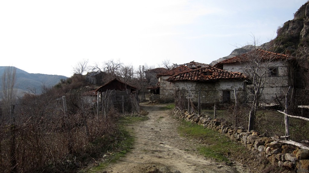
The trail on the east side is also part of old farmroads, most of
which are badly eroded and not passable even for 4WD (at least not
without a major effort), and on footpaths connecting the homesteads
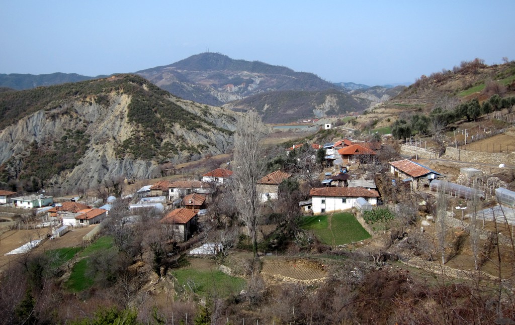
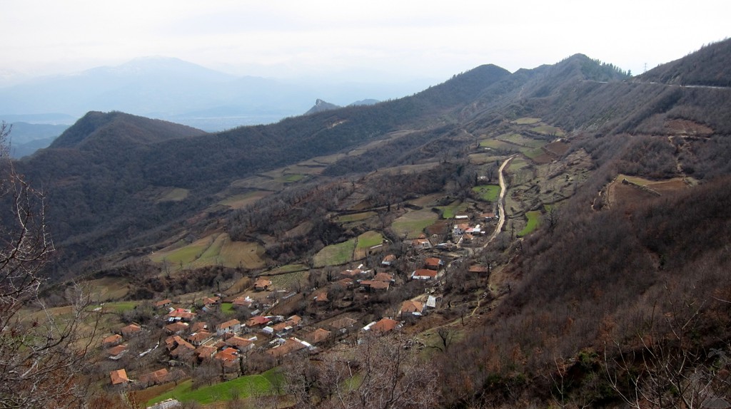
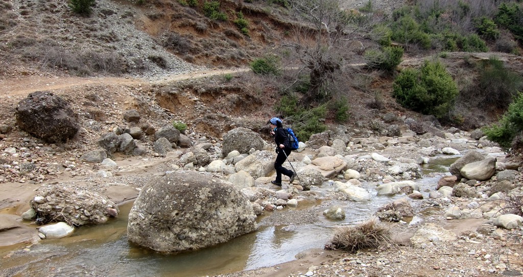
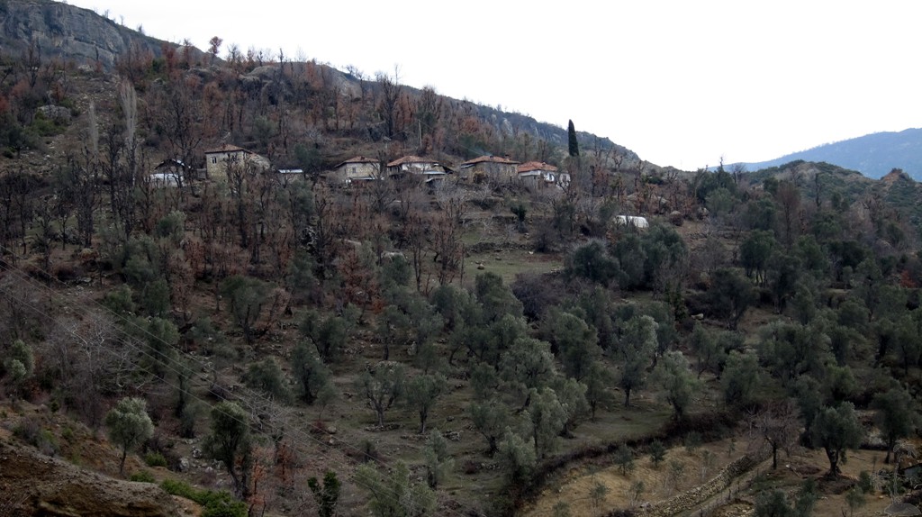
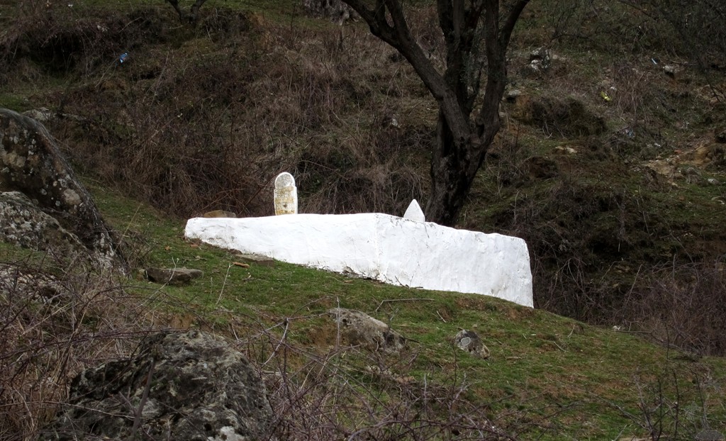
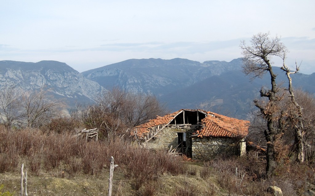
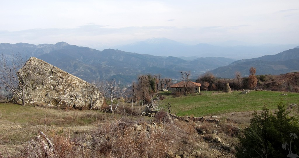
and on mountainpaths. The east side is wild, with hamlets clinging
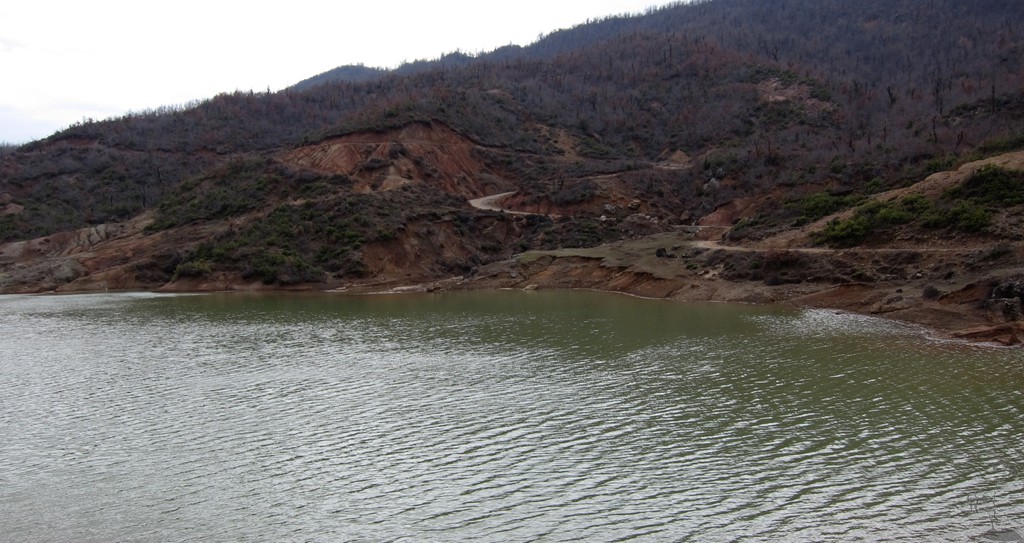
to the mountainside, which drops deep into the Deksi valley. This is
the valley where the new Tirana-Elbasan Highway, with tunnel, is
being built. Still, virtually all villages of the commune Mamël,
including Mamël itself, are only accessible by foot and mule. It
adds a particular feel to the place, of remoteness and hardship.
The Hike:
| Maximum altitude: | 801 meter |
| Minimum altitude: | 457 meter |
| Cumulative height: | more than 705 meter |
| Cumulative length: | 17 kilometer |
| Difficulty | easy |
| Time: | 7 hours |
| Date of this record | March 2012 |
| Download GPS info: | Gracen left and right |
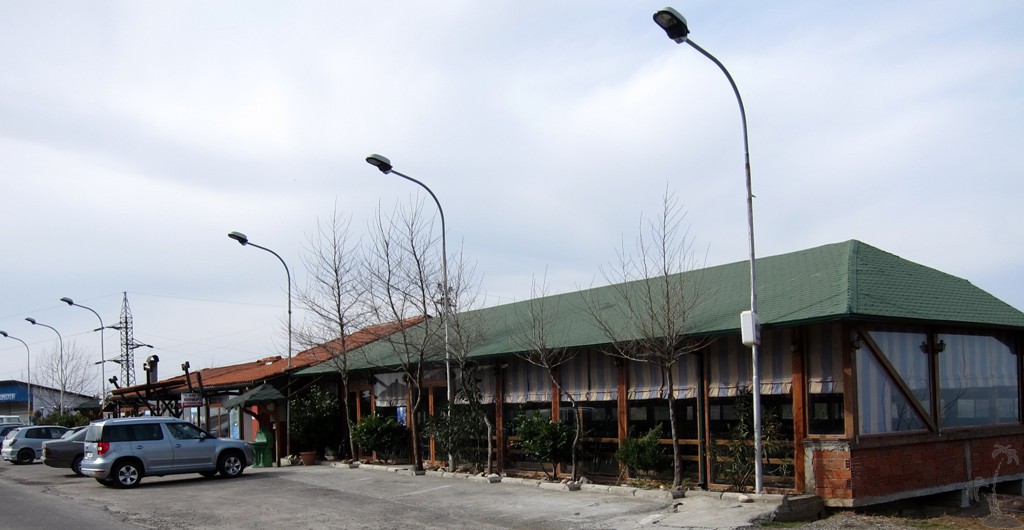
General location and approach: Take the highway from Tirana to Elbasan (not the to-be-built tunnel road). The trailhead is at restaurant Ismet, just before the commune Gracen, on the top of the ridgeline.
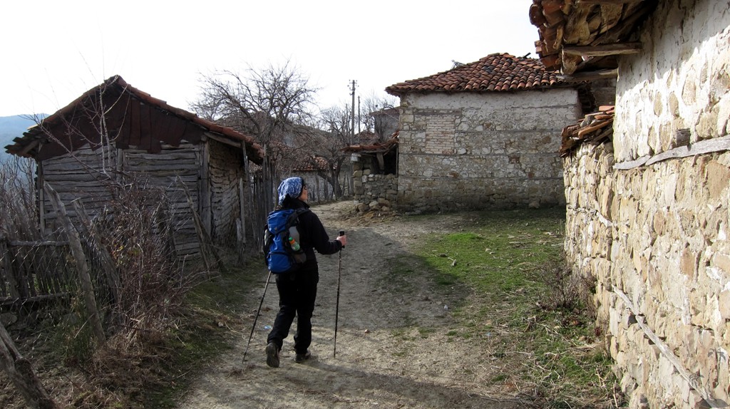
Other Information: We
got lost in the village of Mamël, not because it is so big,
but it lies on a steep slope and and it has no roads but a
maze of paths. We ended up in the backyards of houses, and
of course we were promptly helped. Perhaps, as you pass the
first houses of Mamël village, you may want to ask for the
best way. Also note, there is a possible shortcut (see
waypoints), though you may miss the experience of Mamël!
Your could do the trail in two parts (west side and east
side), but you would have to arrange transport or hitch a
taxi. If you combine the two to a loop hike, as we did, we
recommend to do it anti-clockwise (west side first).
GPS and trailmaps: The map and trailinformation is generated by www.wikiloc.org, based on GPS information collected from the actual hike. Waypoints can be downloaded to a GPS device from Wikiloc. If necessary, use GPSBabel to convert GPS data to different formats. For more hike descriptions by Palmtreetreeproduction, browse this website or visit Wikiloc and search for "Palmtreeproduction". You may also find nearby trails from other authors.
Google Earth: You may also view the trail in 3D by clicking "view in Google Earth" when on Wikiloc. You need to have Google Earth installed on your computer.