PALM TREE PRODUCTIONS
back to Albania site back to hikes and climbs back to Locations and Travel
Shëne Prende and Maja e Hutit![]()
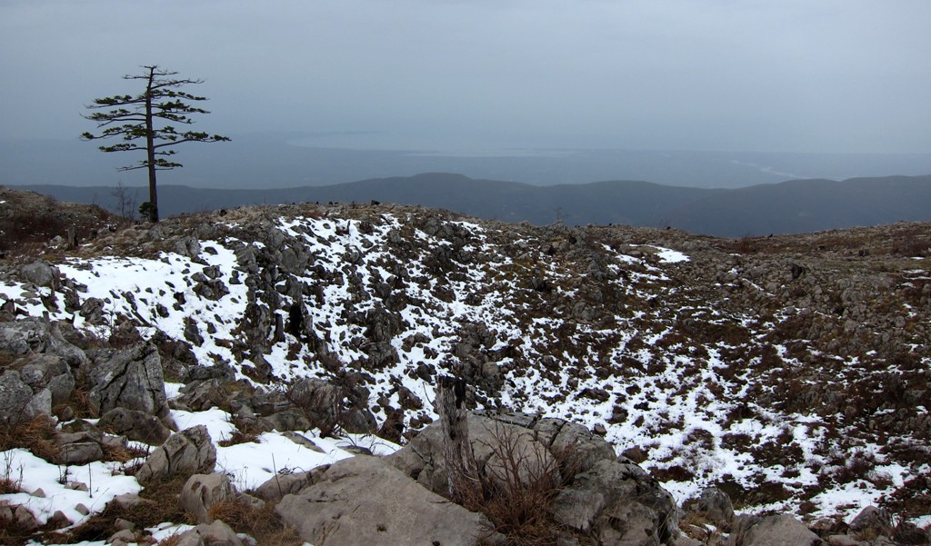
Summary: Maja e Hutit is the northern end of Mali i Skenderbeut, the major ridge parallel to the coastline of the Adriatic. The highest point of Mali i Skenderbeut is Mali i Liqenit. The ridge spans from Qafe Shtame to the Mat River. It has several highpoints, not all of which have names. We are even unsure about the exact location of Maja e Hutit, as it it not consistently shown on different maps.
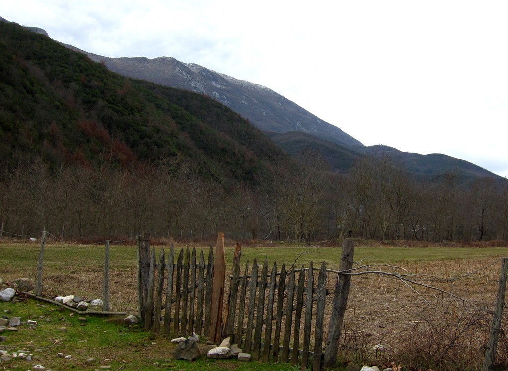
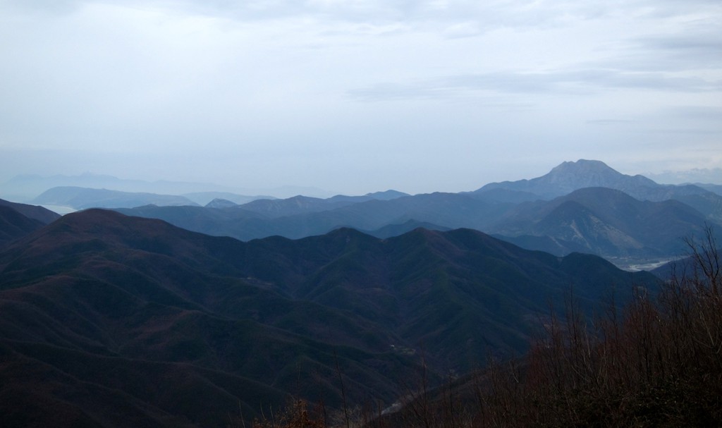
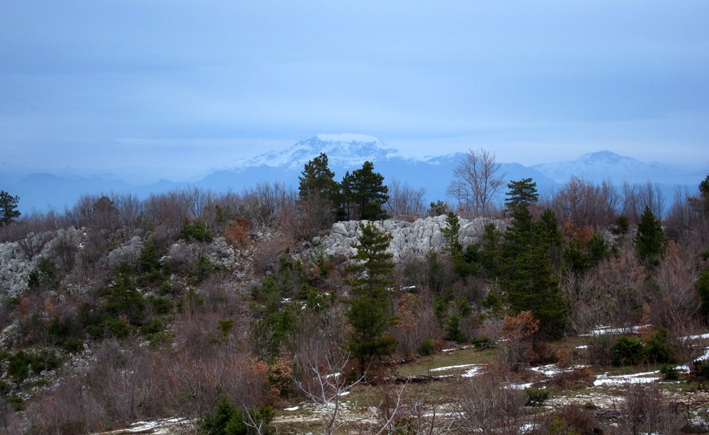
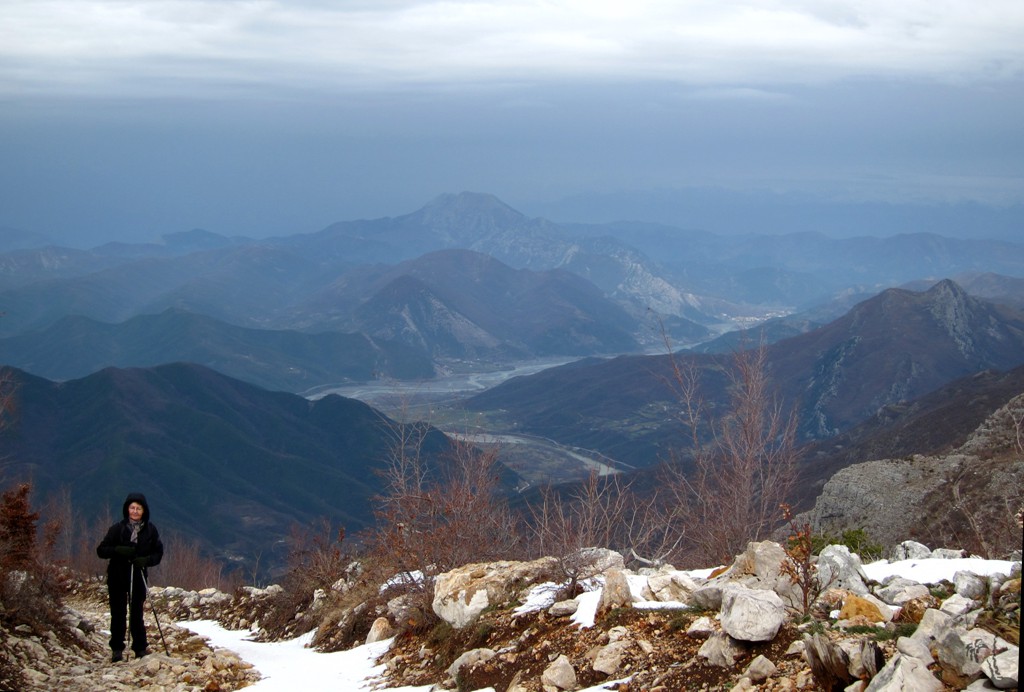
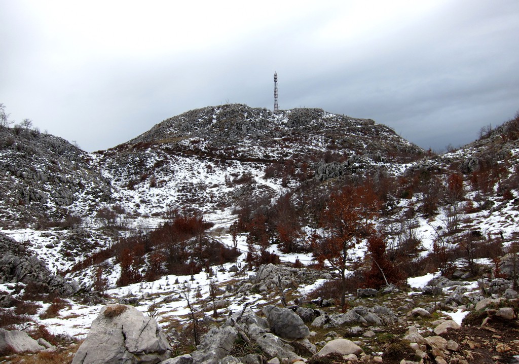
This hike climbs to the highpoint that has a telephone antenna nearby. Seen from the village of Gallatë - where the trail starts - as well as from Lake Shkopet, it is major summit and we can confirm that it is worth hiking it. Although Maja e Hutit is part of the second mountain range from the shoreline, the summit offers unobstructed views along the coast, and into the hinterland.
There is a road for high clearance 4WD vehicles or lorries to the antenna, which one can follow without any worries of getting lost. Our trail takes a few shortcuts, saving about 2 kilometers each way. Still, it is a major hike with more than 1100 Meter elevation gain.
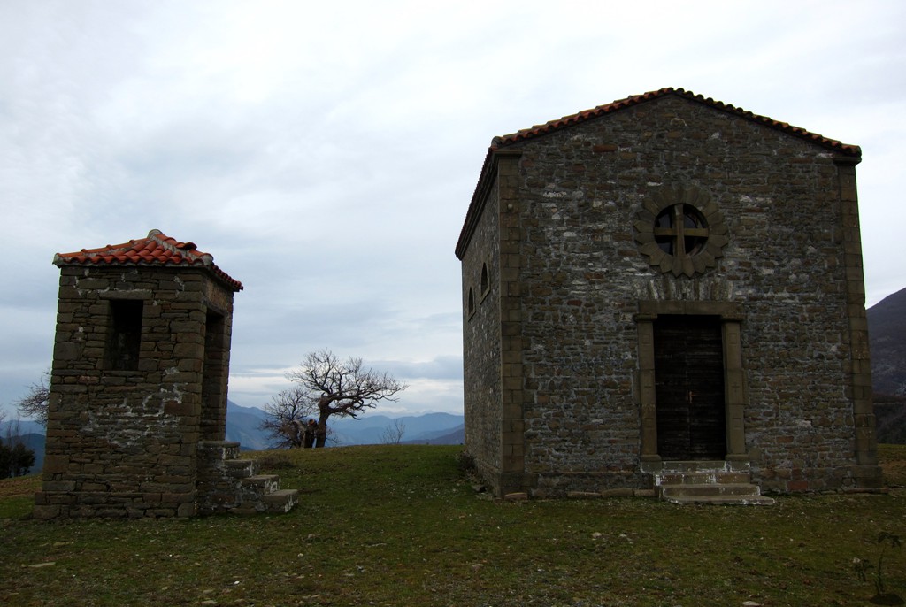
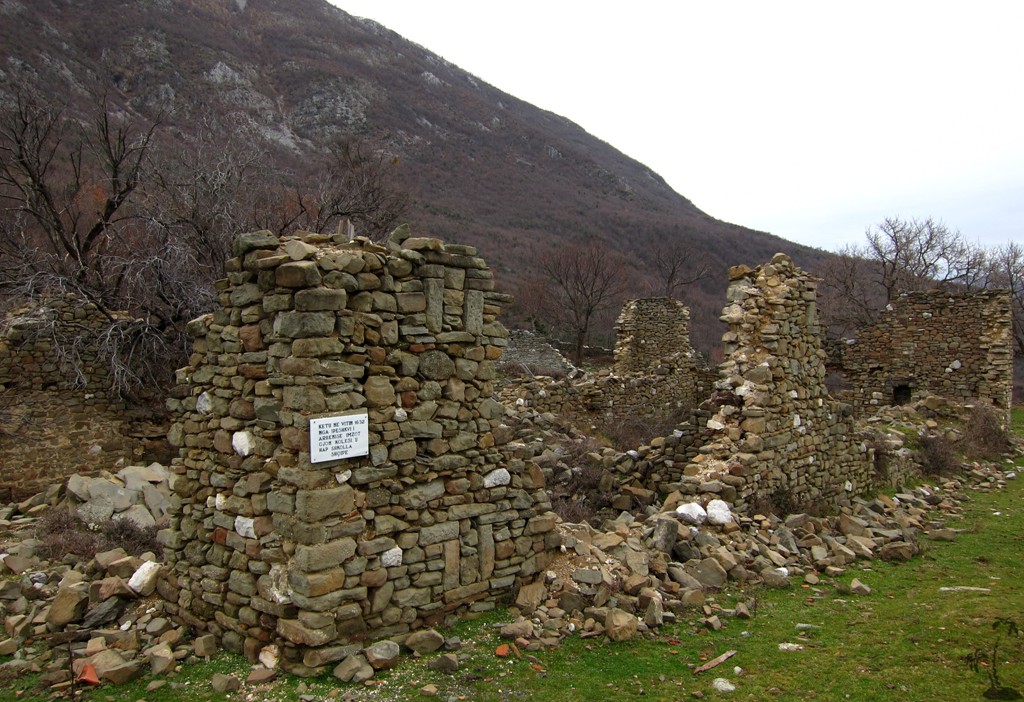
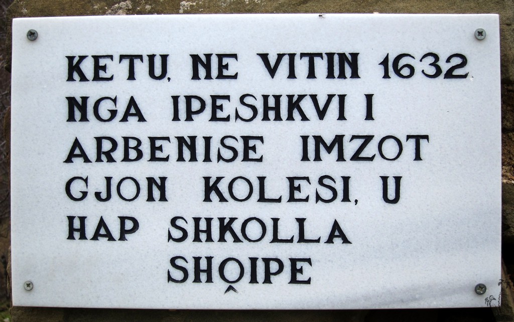
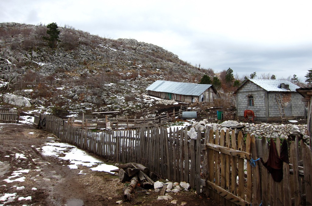
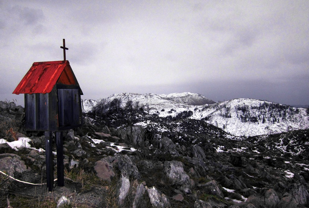
After a little more than one hour into the hike, one arrives at the old church of Shëne Prende. Reputedly, it has been the place where one of the first schools in Albania have been built, as early as 1632. For those with little time, the place of the church is worth a hike by itself.
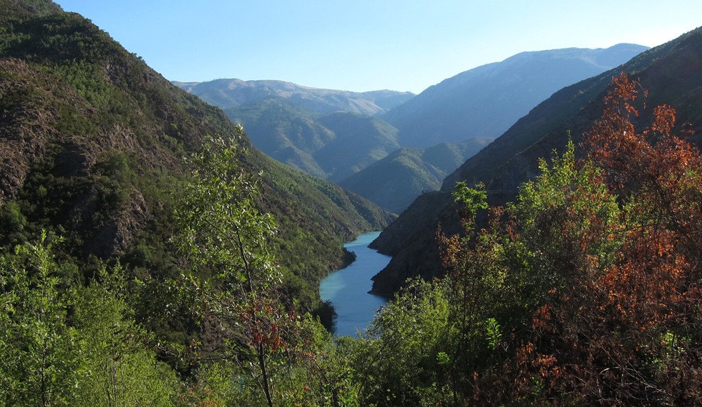
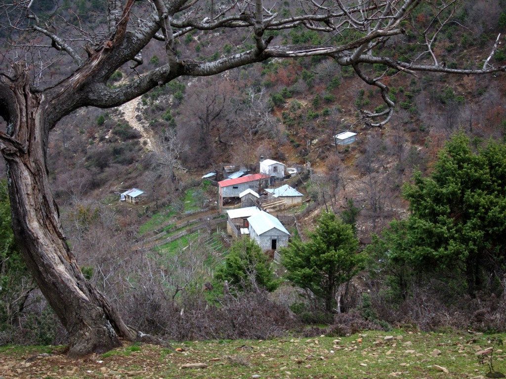
The valley of Gallate is quite secluded and we imagine that it must be beautiful in spring.
| Maximum altitude: | 1248 meter | ||||||||||||||||||||||
| Minimum altitude: | 178 meter | ||||||||||||||||||||||
| Cumulative height: | 1070 meter | ||||||||||||||||||||||
| Cumulative length: | 6.42 kilometer | ||||||||||||||||||||||
Difficulty
| easy |
Time:
|
3.5 hours up |
Date of this record |
February 2014 |
Download GPS info: |
Maja e Hutit |
|
| |
|
|
|
|
|
|
|
|
|
|
|
|
|
|
General location and approach: The road to Gallatë branches off from the Milot-Kukes highway, at the gas station just before the two bridges crossing the Mat River and the turn off to Burrel.
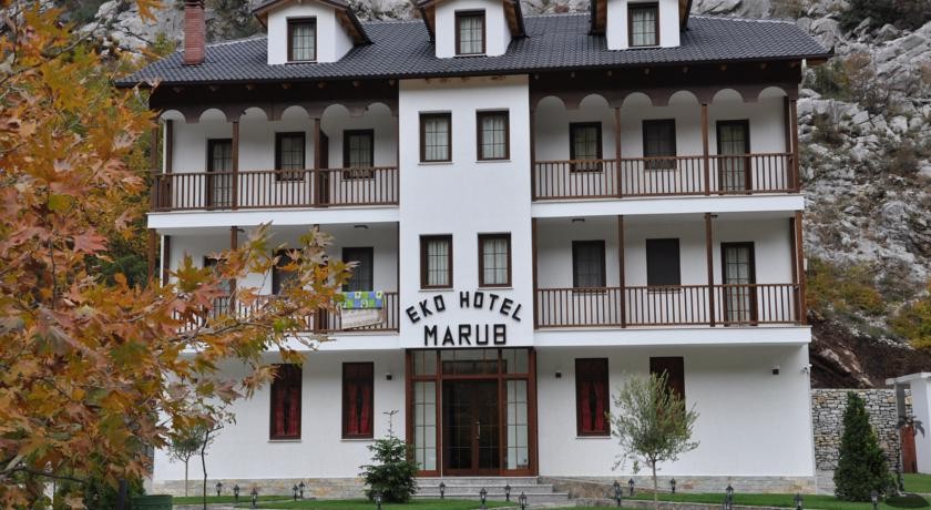
Other Information: We have stayed several times at the Marub Hotel near Rubik, and can highly recommend it for its consistent good standard, its location and its ambiente.
Google Earth: You may also view the trail in 3D by clicking "view in Google Earth" when on Wikiloc. You need to have Google Earth installed on your computer.