PALM TREE PRODUCTIONS
back to Albania site back to hikes and climbs back to Locations and Travel
Kalimash Mou![]() ntain
ntain![]() - Maja e Runës
- Maja e Runës
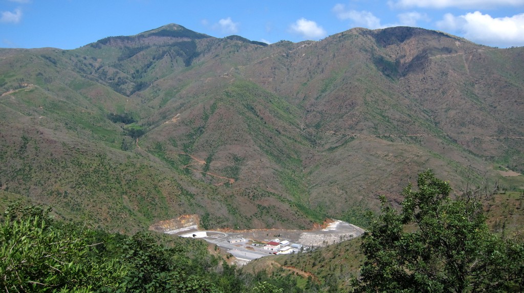
Summary: Everyone heard the name Kalimash, as it is used to describe the place of the longest tunnel in Albania, made for the Autobahn connecting Tirana and the Adriatic with Kosovo. Few of those who look forward to the tunnel experience, are aware of the road that leads across the mountain that harbors the tunnel. Even fewer people may have contemplated hiking its summit.
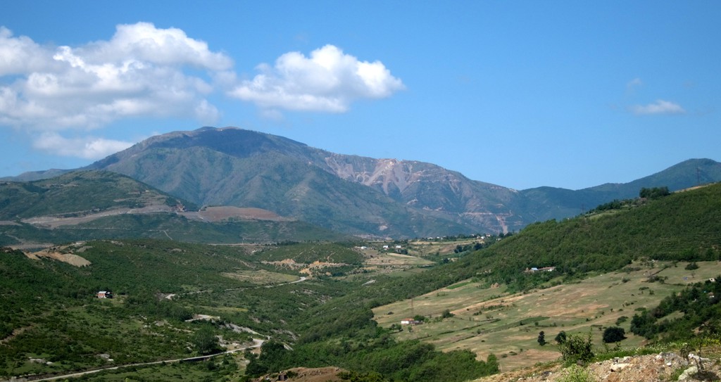
Kalimash is the fourth of the major mountains surrounding Kukes. The others are Gjalica (which often provides the photogenic backdrop for Kukes and towers 2000 meter above the city), Koritnik on the border to Kosovo (and best climbed from Kosovo) and Pashtrik (also on the border with Kosovo, and rarely climbed from the Albanian side). Hikes to all of them are described on this site.
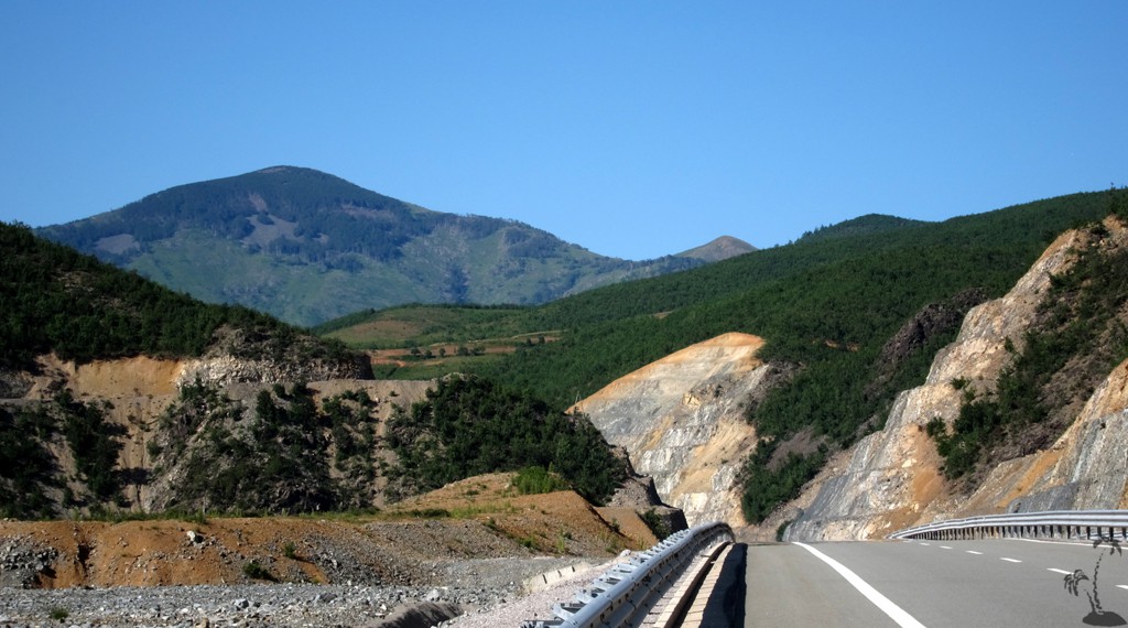
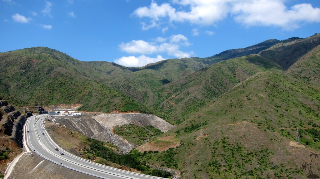
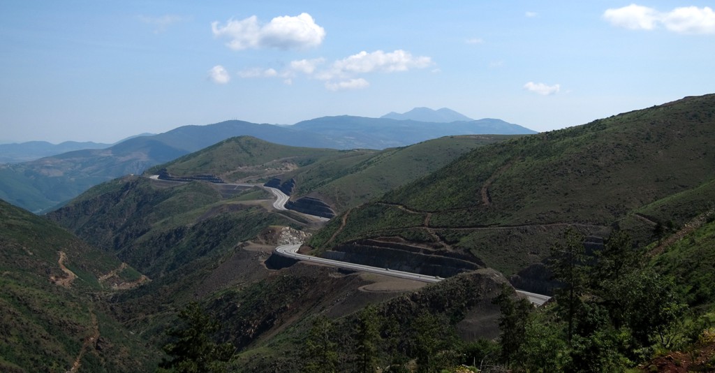
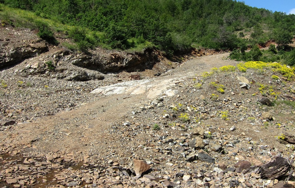
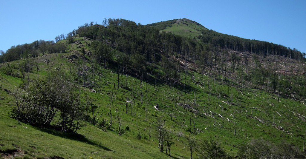
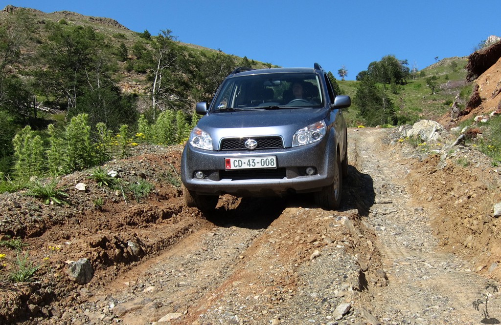
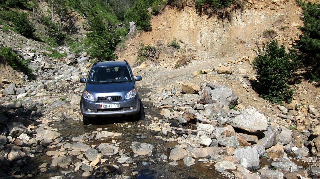
The Kalimash mountain road start at one end of the tunnel and ends on the other. During the construction the road may have been in good use; now through traffic is very rare. From both side, the road is used by heavy 4WD lorries carrying timber from the mountain, and the once well constructed road is now badly destroyed in places. We rate some short sections as very difficult, meaning that one can get seriously stuck and would probably need help to extract oneself.
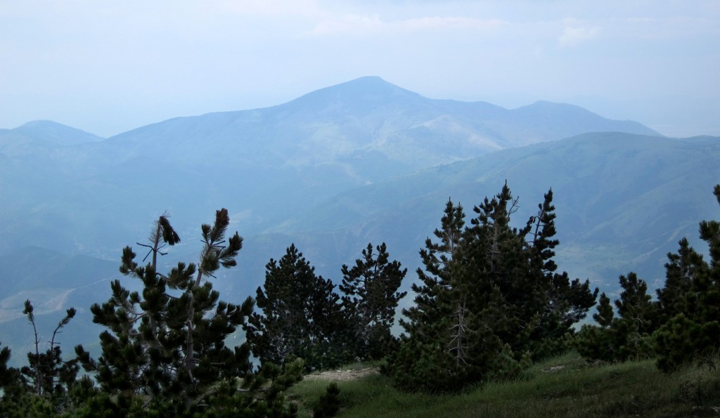
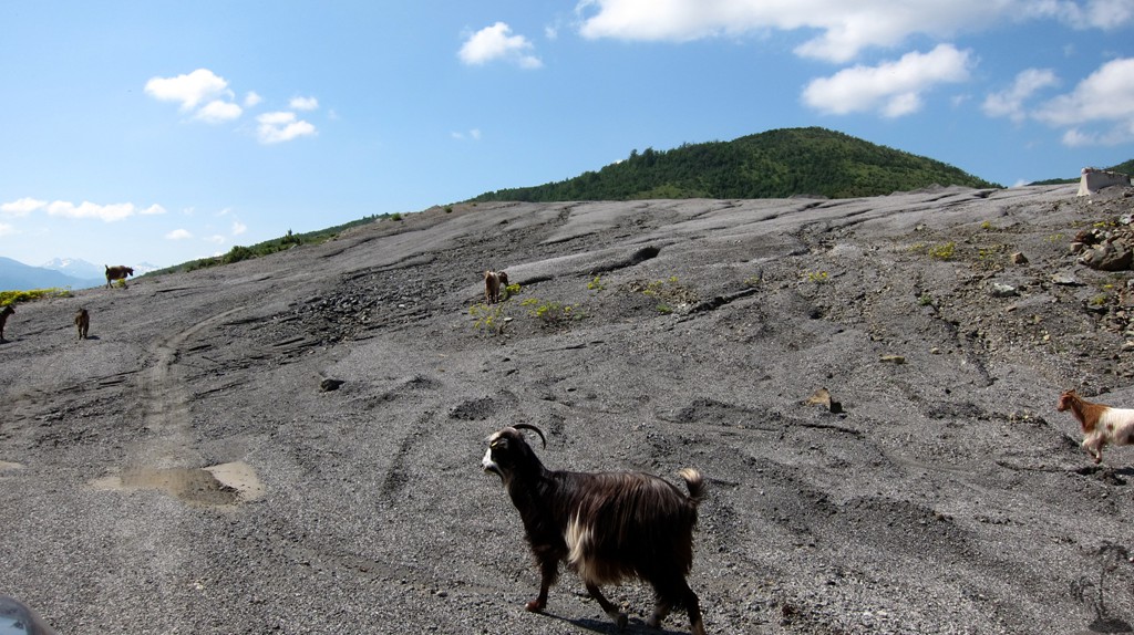
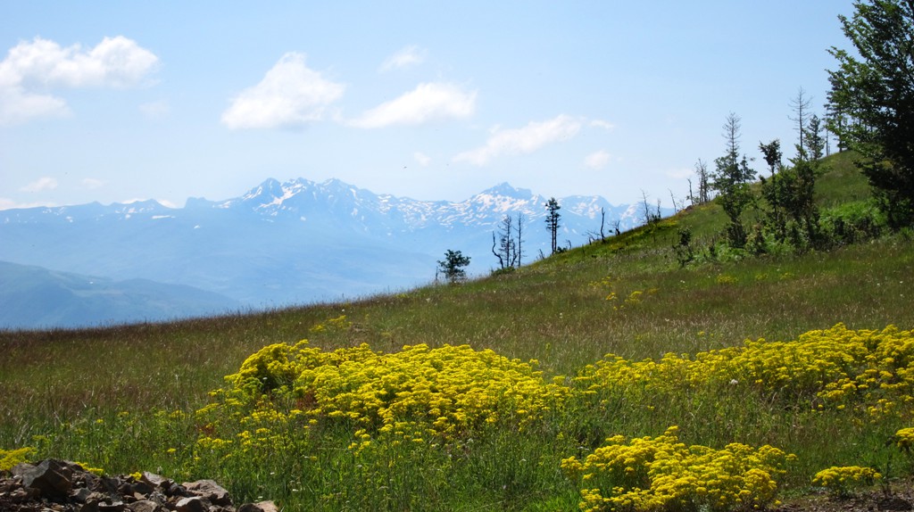
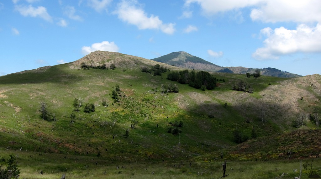
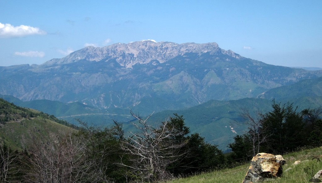
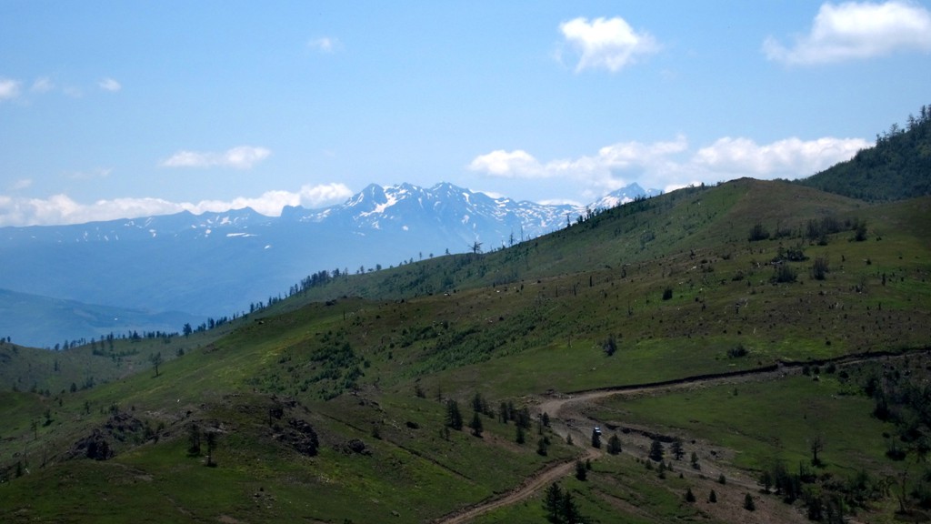
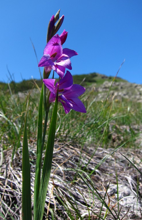
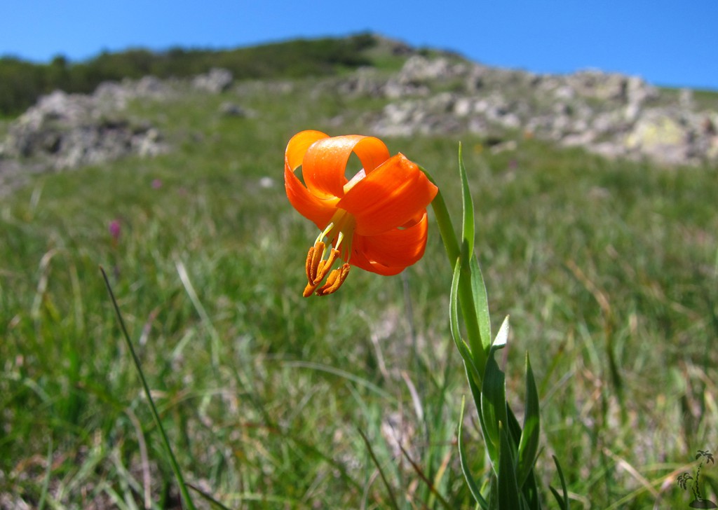
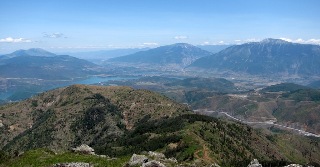
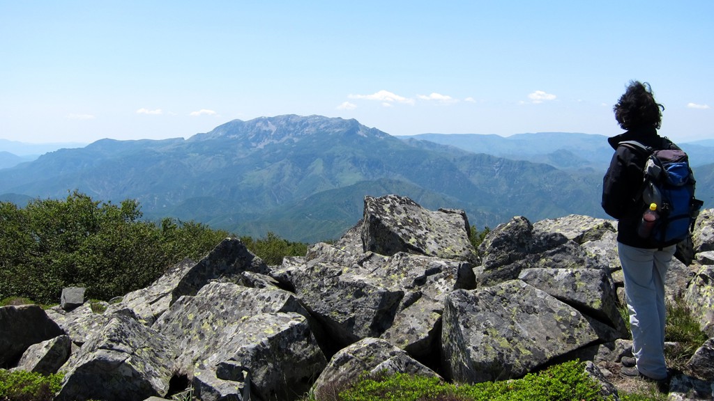
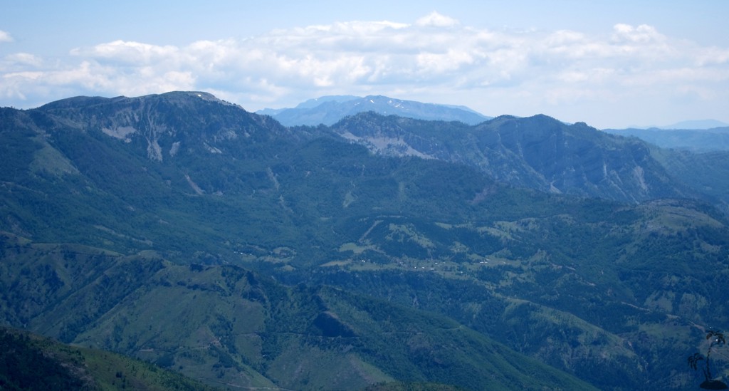
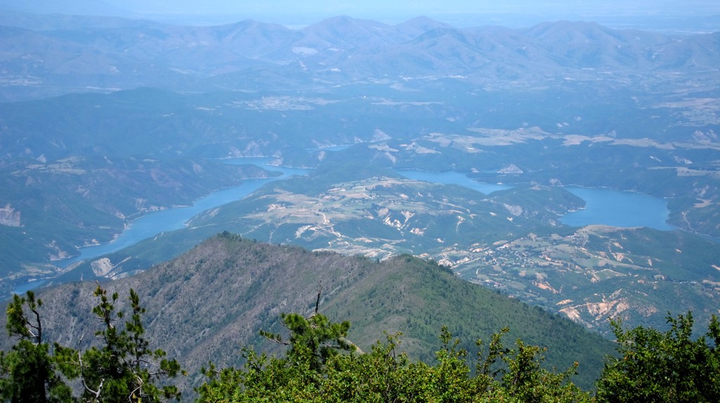
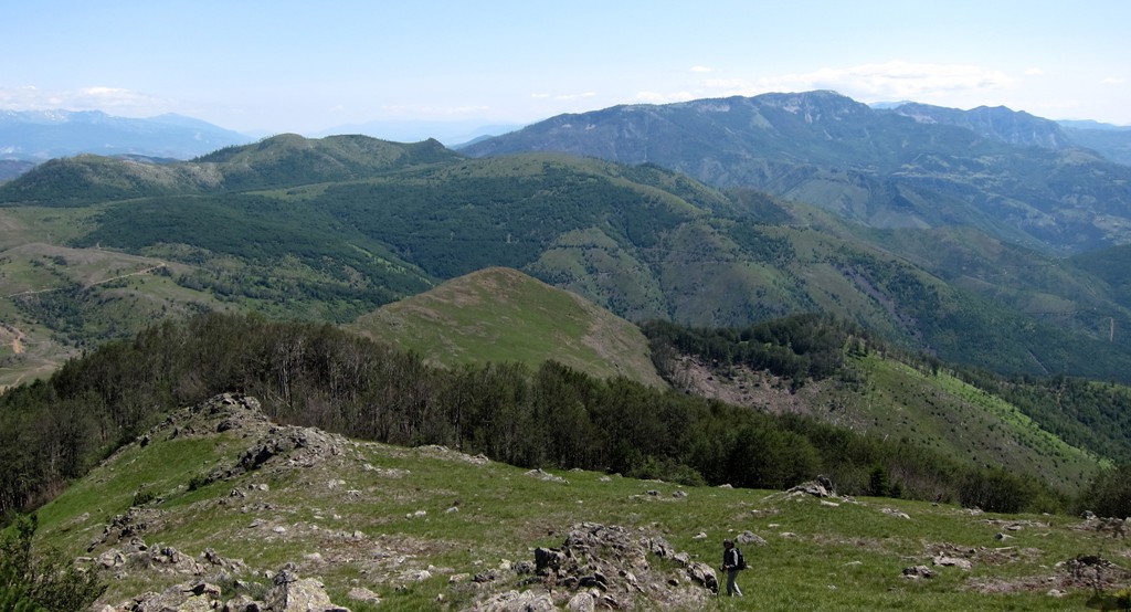
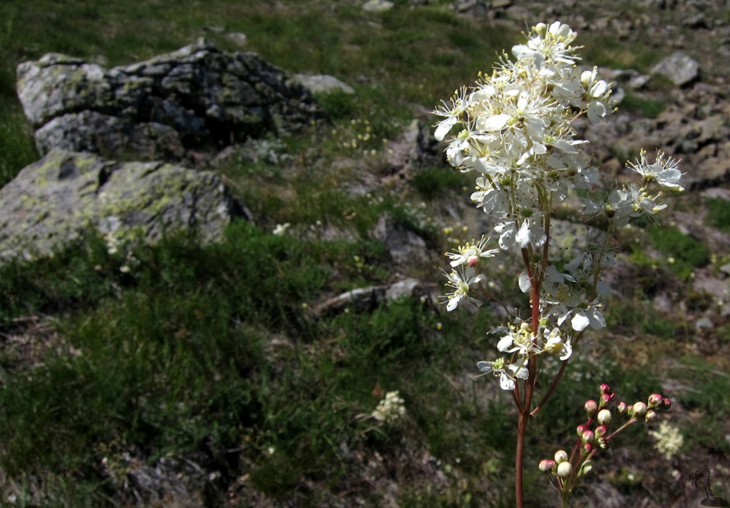
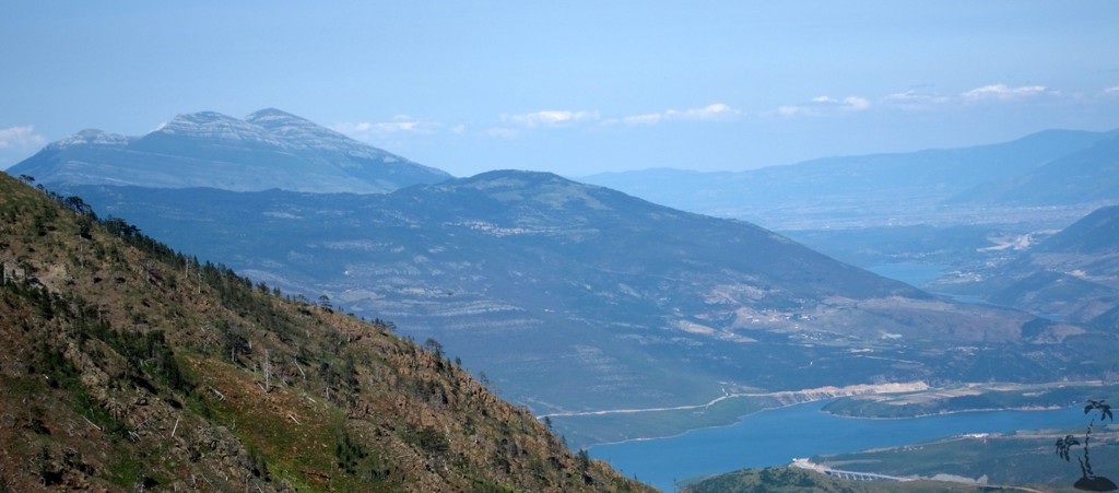
But then, the road - and even more the hike to the summit of Kalimash - are an experience that should not be missed. Kalimash is surrounded by mountains that all are a little higher than Kalimash itself - which almost adds to the grandiosity of the place. The mountains of Kukes, Korab, Zebe, Lure, Dejes, Munelle, and the Albanian Alps are all in good view. On 1 July, Korab and the Alps were still covered in snow, and Kalimash mountain was in full mountain spring - the grass couldn't be greener or flowers more colorful.
The Drive: From either end of the tunnel to the other. We recommend to start on the Kukes side. The more difficult spots are on the Thirrë side.
| Maximum altitude: | 1409 meter |
| Minimum altitude: | 791 meter |
| Cumulative height: | 667 meter |
| Cumulative length: | 17 kilometer |
| Difficulty | very difficult |
| Time: | 3 hours |
| Date of this record | July 2013 |
| Download GPS info: | Across Kalimash |
The Hike: A pretty straightforward hike, first on wood roads, then on the grassy ridge leading to the summit. A few short stretches are a light bushwhack through trees, rocks and brambles.
| Maximum altitude: | 1863 meter |
| Minimum altitude: | 1367 meter |
| Cumulative height: | 498 meter |
| Cumulative length: | 3.26 kilometers |
| Difficulty | easy |
| Time: | 2 hours |
| Date of this record | July 2013 |
| Download GPS info: | Kalimash - Maja e Runës |
General location and approach: At the Kalimash tunnel!
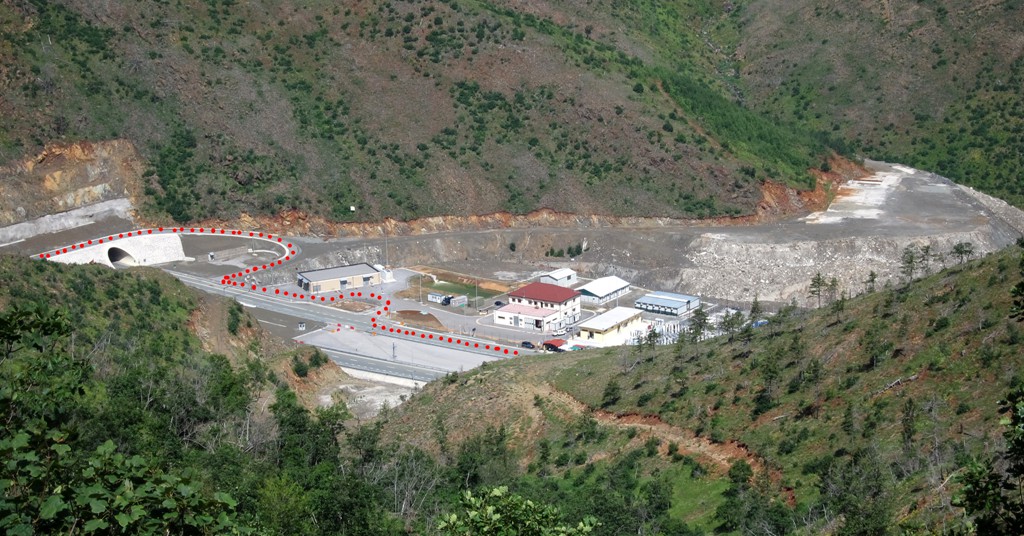
Other Information: When coming from Kukes, it is a little tricky to find the start of the trail on the south side of the highway. Follow these steps: (i) Find a policeman having coffee in one of the roadside stalls and explain your plan; (ii) enter the police compound and weave around some buildings to find the road across the mouth of the tunnel; (iii) join the highway as if going back to Kukes. After a few hundred meters, just before a signboard, turn off to the right onto a dirt track. Follow this track until you end in Thirrë! Also consult the photograph showing the way across the autobahn at the east side of the tunnel.
GPS and trailmaps: The map and
trailinformation is generated by
![]() , based
on GPS information collected from the actual hike. Waypoints
can be downloaded to a GPS device from Wikiloc. If necessary, use
GPSBabel to
convert GPS data to different formats. For more
hike descriptions by Palmtreetreeproduction, browse this
website or visit Wikiloc
and search for "Palmtreeproduction". You may also find
nearby trails from other authors.
, based
on GPS information collected from the actual hike. Waypoints
can be downloaded to a GPS device from Wikiloc. If necessary, use
GPSBabel to
convert GPS data to different formats. For more
hike descriptions by Palmtreetreeproduction, browse this
website or visit Wikiloc
and search for "Palmtreeproduction". You may also find
nearby trails from other authors.
Google Earth: You may also view the trail in 3D by clicking "view in Google Earth" when on Wikiloc. You need to have Google Earth installed on your computer.