PALM TREE PRODUCTIONS
back to Albania site back to hikes and climbs back to Locations and Travel
Maja e Kendërvicës![]()
![]()
Summary: Kendërvicës is the highest point of the Mali i Gribës range, which dominates the view when driving from Fier to Tepelene. The shortest hike to the summit requires a long drive from Tepelene to Nivice.
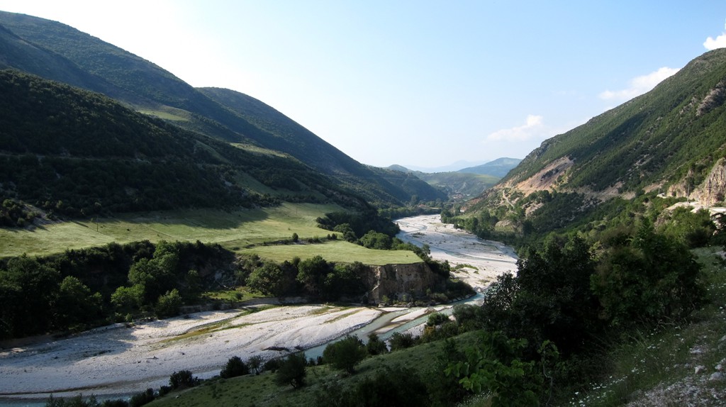
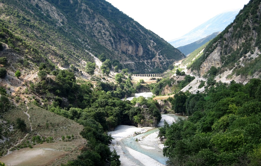
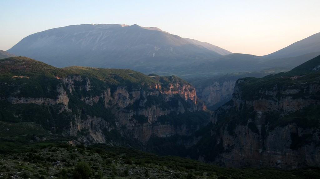
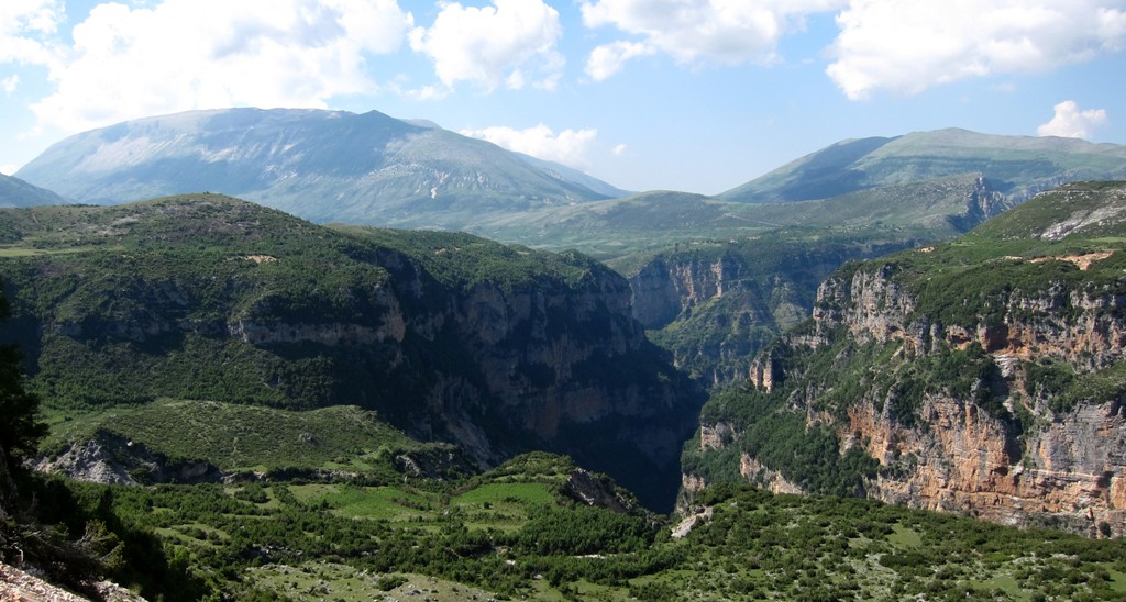
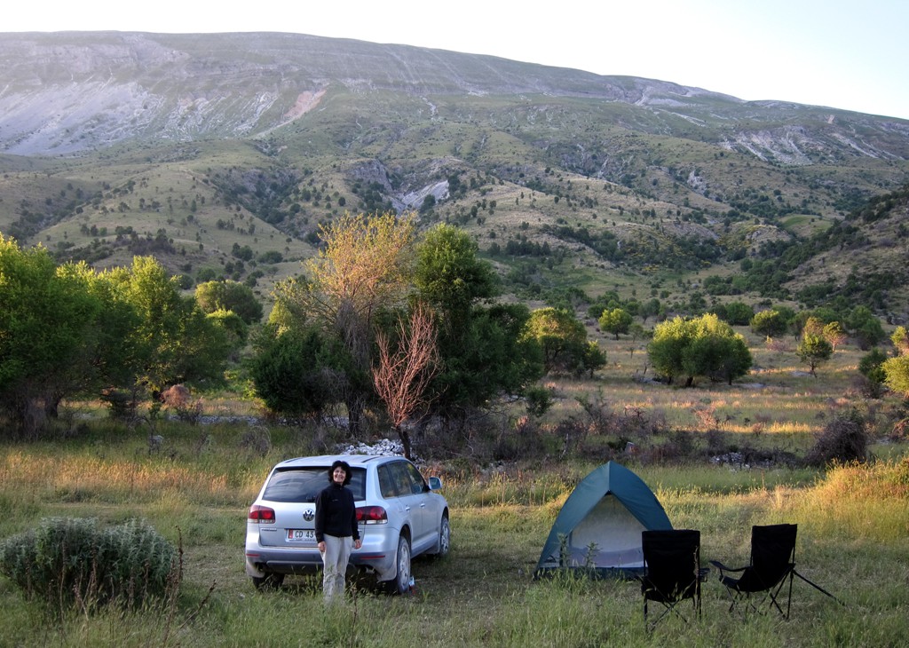
The drive leads from Tepelene onto the plateau of Lekdushk, Progonat, Gusmar and Nice, with its magnificant canyons. The road up to the plateau, which is at about 1000 Meter elevation, is exposed in some parts. Once on the plateau, the drive is more relaxing, and there is even asphalt between Gusmar and Nivice. The last stretch from Nivice to the trailhead of Kendërvicës requires a 4WD. It takes about 2 hours from Tepelene to the trailhead.
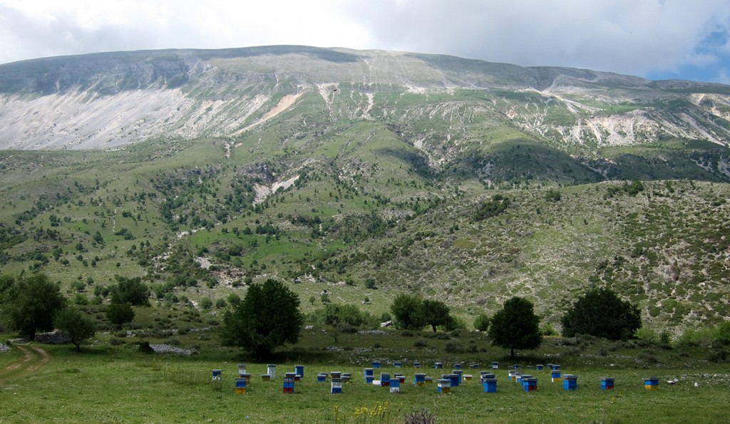
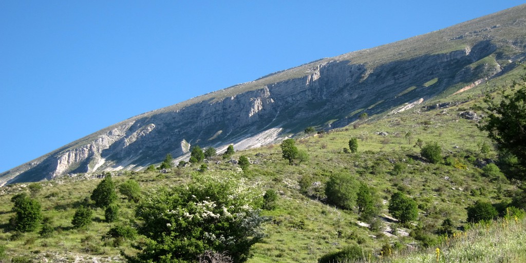
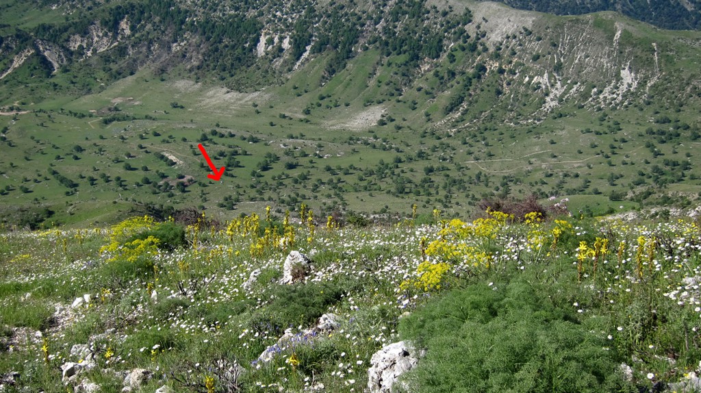
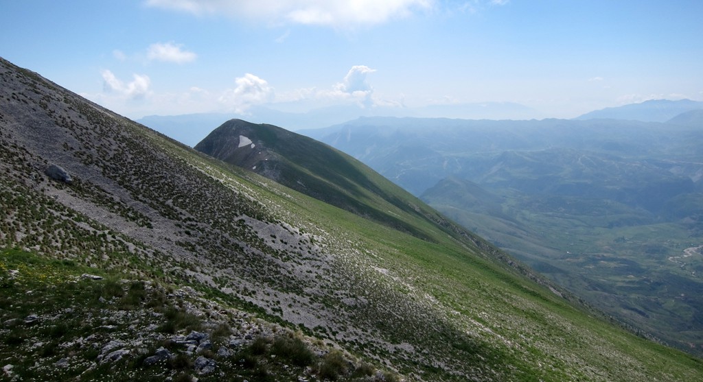
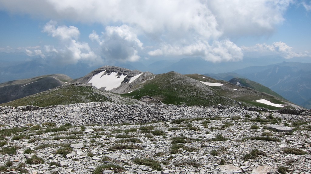
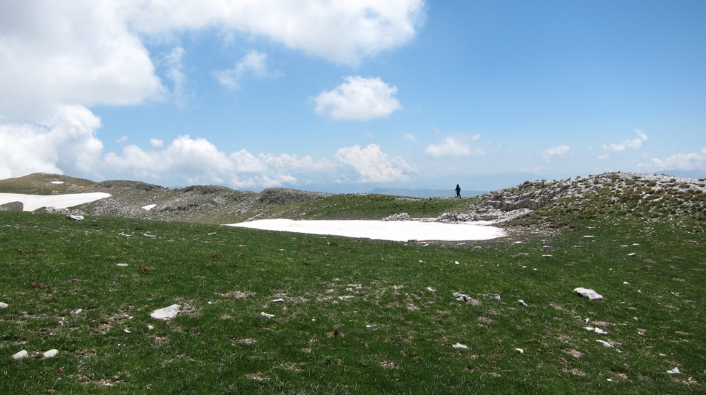
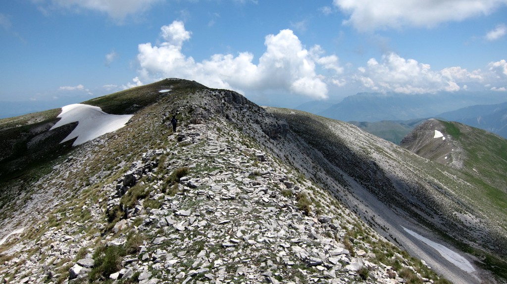
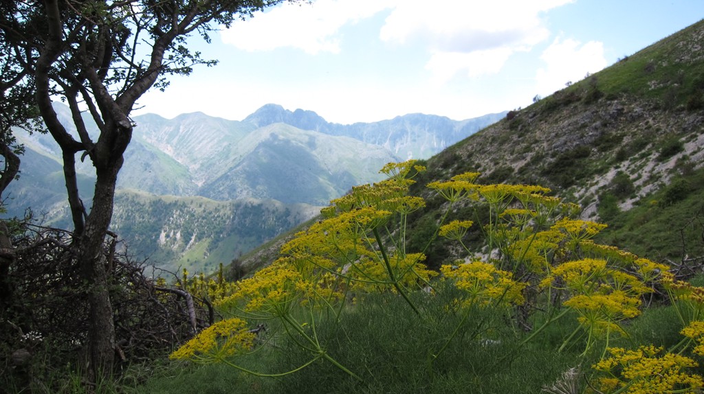
Kendërvicës itself only becomes visible from the high plateau of Lekdushk, Progonat, Gusmar and Nivice. The trail climbs the south-west face, which from the distance (and certainly in google earth) looks very steep.
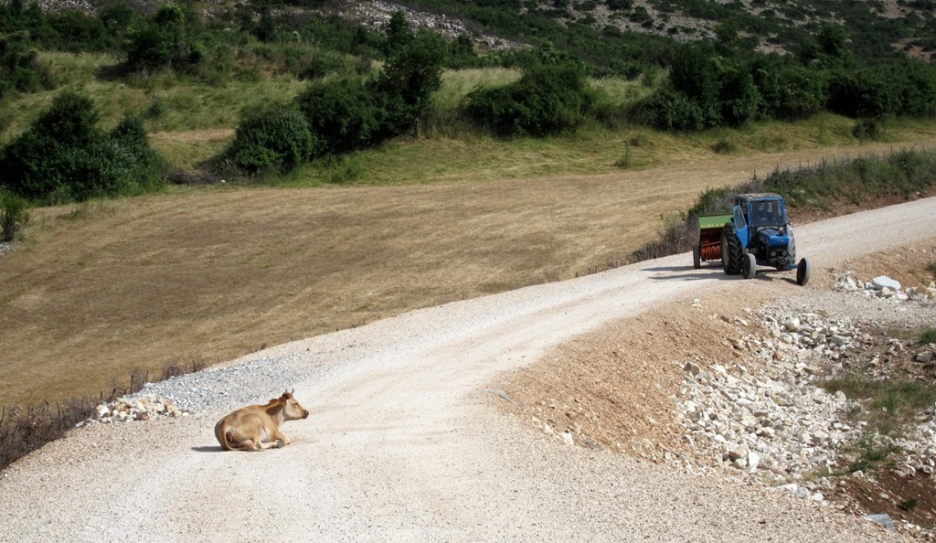
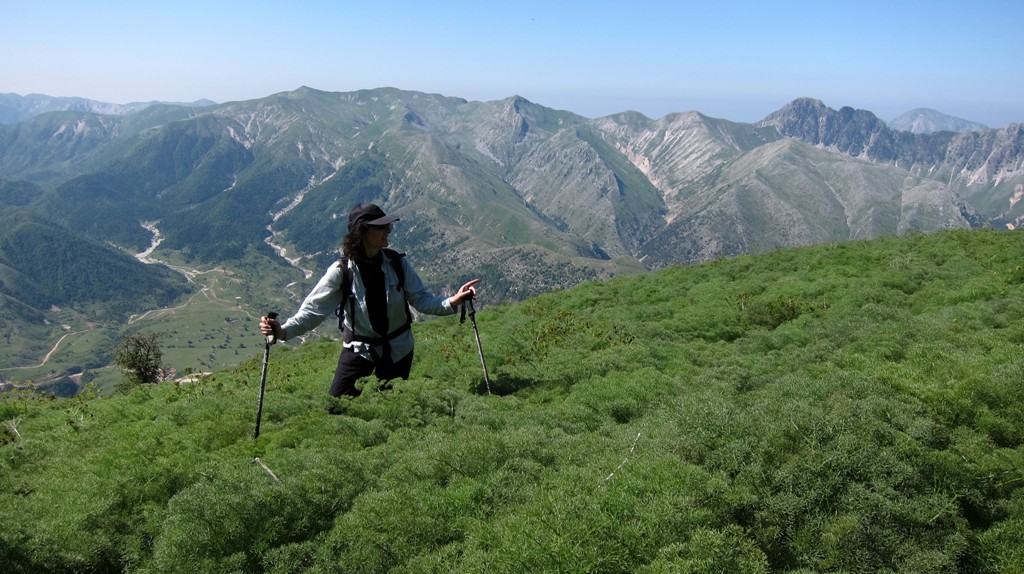
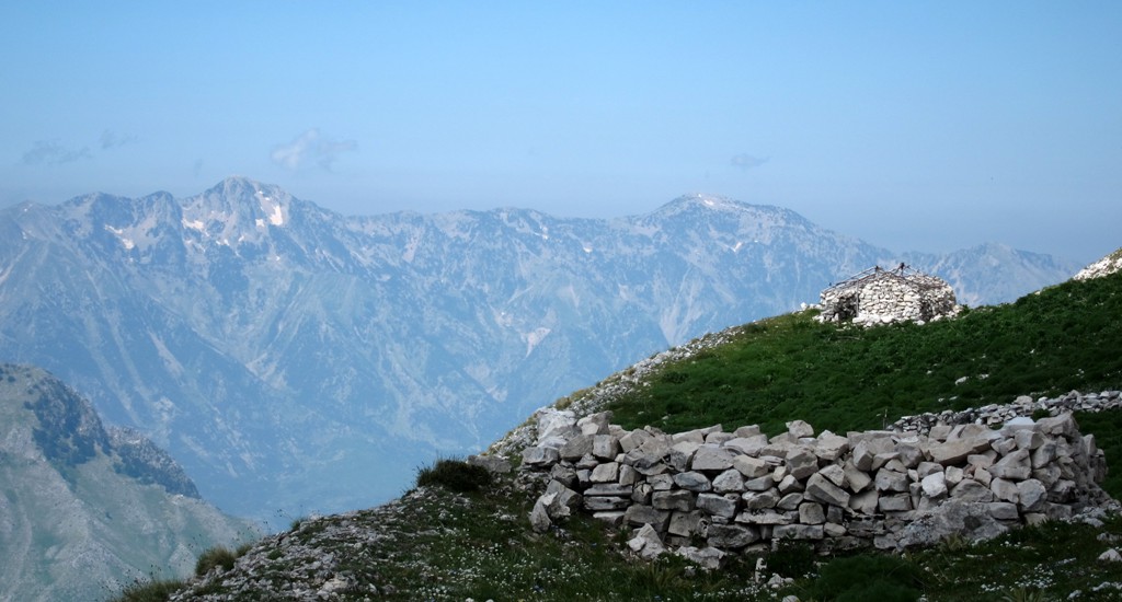
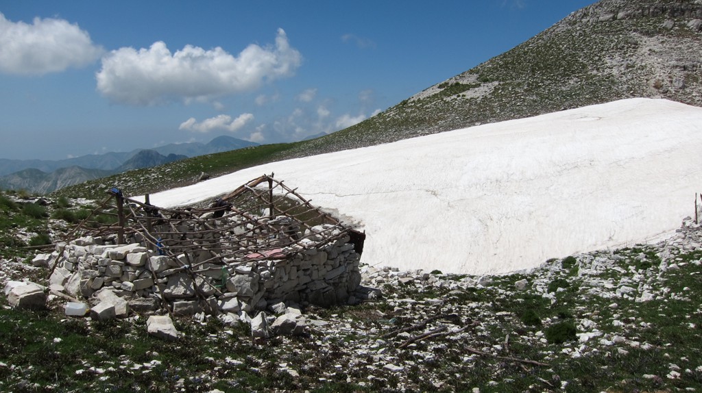
The biggest hazard on the route, however, are the sheep dogs. Kendërvicës has many shepherds'dens, including on its broad and expansive summit. We therefore suggest to make suitable arrangements with some local herdsmen before attempting the hike. We made for a very early start (when the flocks were still in their pens). It also might be a good idea to do the hike early or very late in the year (when the sheep are in the valleys).
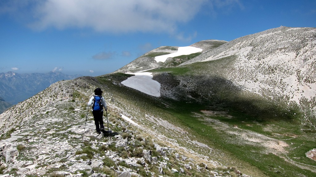
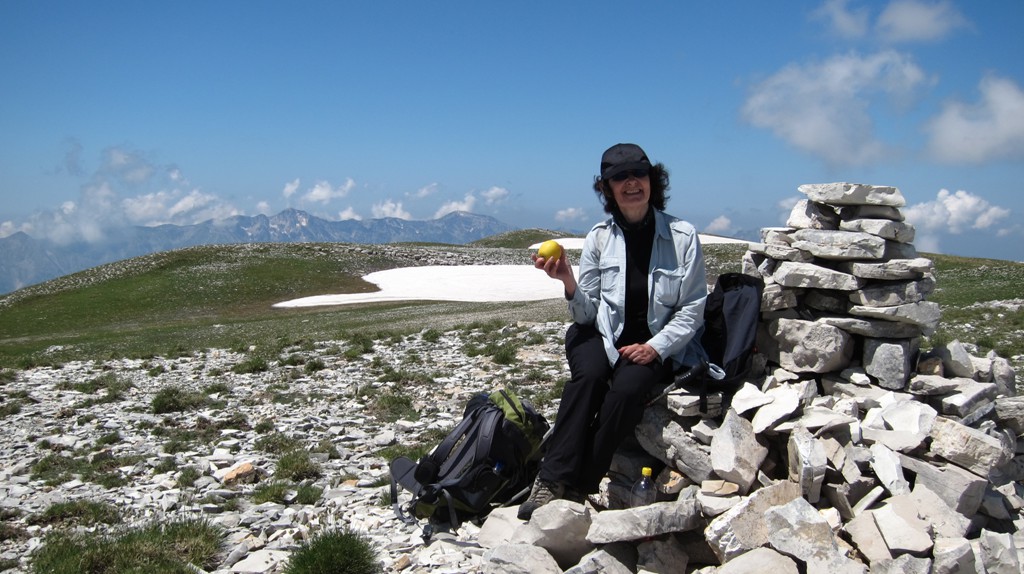
From much of the hike you only see the edge of the summit plateau (and the trailhead). Once on the summit plateau, another 100 Meter in elevation lead to the summit marked by a large cairn.
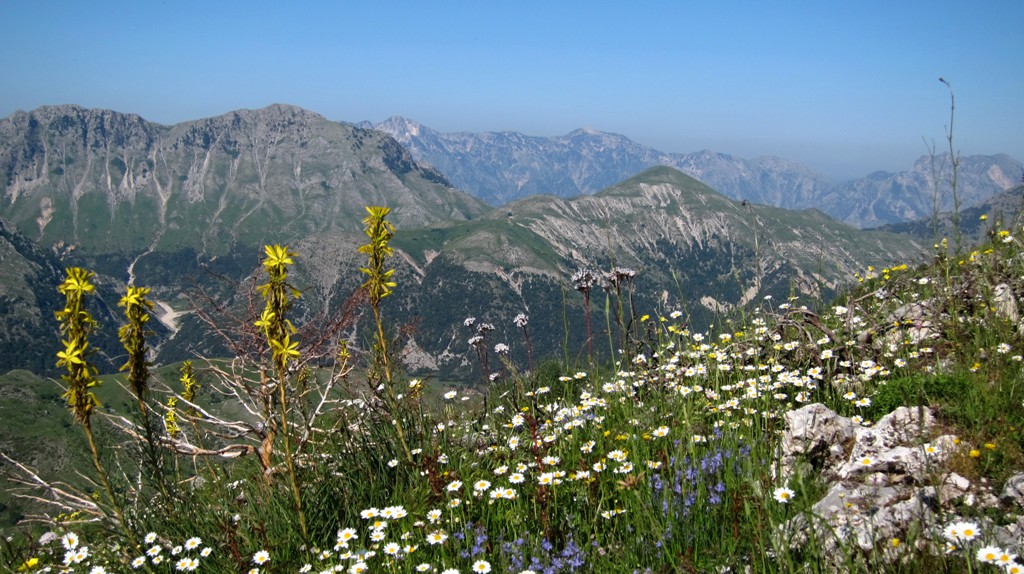
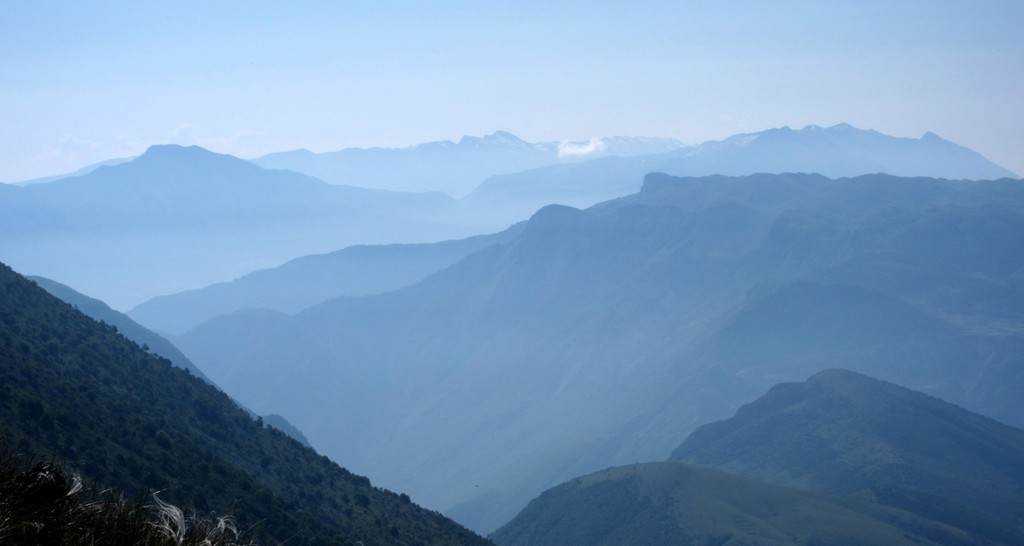
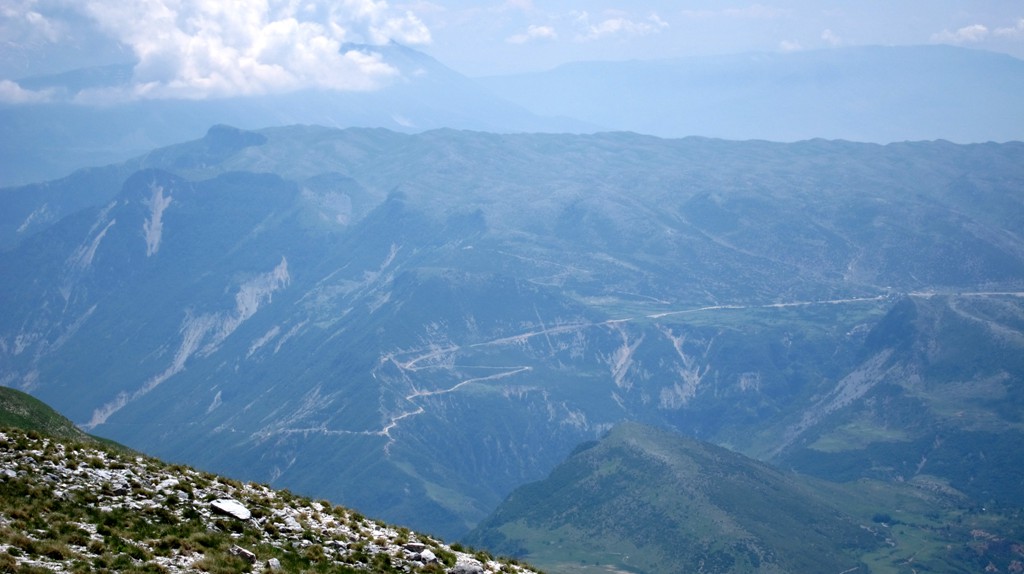
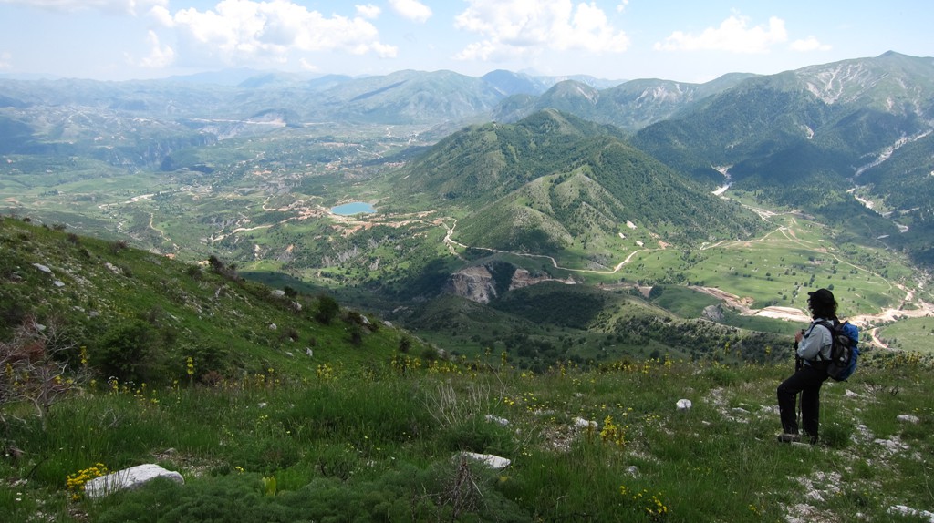
From the summit, it is possible to see Cika and Qorres, Nemercke, Ostrovice, Tomorri and many more peaks in all directions.
Kendërvicës is one of the remarkable mountains in Albania, in that you have to descend very low (1666 Meter) to ascend a mountain that is higher than Kendërvicës itself.
The Drive:
| Maximum altitude: | 996 meter |
| Minimum altitude: | 214 meter |
| Cumulative height: | 1184 meter |
| Cumulative length: | 36 kilometer |
| Difficulty | easy |
| Time: | 2 hours |
| Date of this record | June 2012 |
| Download GPS info: | From Tepelene to Nivice |
The climb:
| Maximum altitude: | 2120 meter |
| Minimum altitude: | 1021 meter |
| Cumulative height: | 1112 meter |
| Cumulative length: | 4.9 kilometer |
| Difficulty | moderate |
| Time: | 4 hours up |
| Date of this record | June 2012 |
| Download GPS info: | Mali i Kendervices |
General location and approach: The drive begins at Tepelene. When coming from Ballsh, turn right before entering the town. After a few hundred meters, keep left, according to the signs to Bence and Progonat.
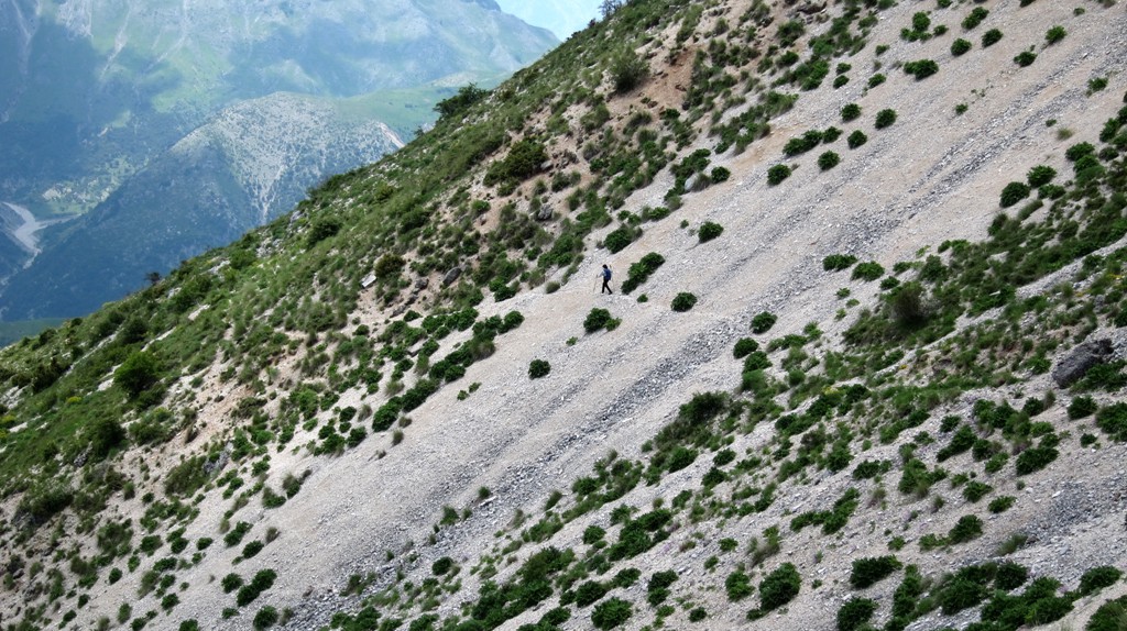
Other Information: It is possible to find a trail for most of the way, though it can easily become a "grasswhack". We found that at the waypoint "right", the path to the right leading up a ridge is easier than going left through a valley. At the waypoint "indistinct" the path becomes invisible. Keeping the general direction will eventually lead back to a more visible trail.
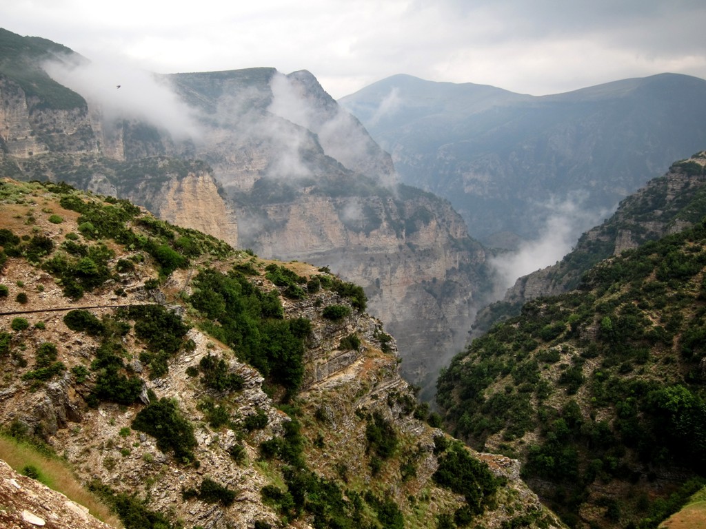
It should be possible to spend days in the area exploring the canyons.
GPS and trailmaps: The map and trailinformation is generated by www.wikiloc.org, based on GPS information collected from the actual hike. Waypoints can be downloaded to a GPS device from Wikiloc. If necessary, use GPSBabel to convert GPS data to different formats. For more hike descriptions by Palmtreetreeproduction, browse this website or visit Wikiloc and search for "Palmtreeproduction". You may also find nearby trails from other authors.
Google Earth: You may also view the trail in 3D by viewing it directly in Google Earth. You need to have Google Earth installed on your computer. Activate "wikiloc"in the "Gallery" menu in Google earth.