PALM TREE PRODUCTIONS
back to Albania site back to hikes and climbs back to Locations and Travel
Kodra and Kalasës![]()
Summary: This is (for the time being) the last part of of our "Krrabe Trilogy" (see also "2 ways to Rosavere" and "A pot of gold").
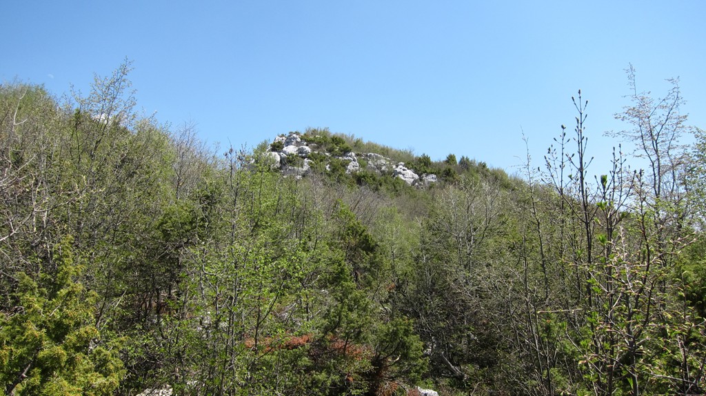
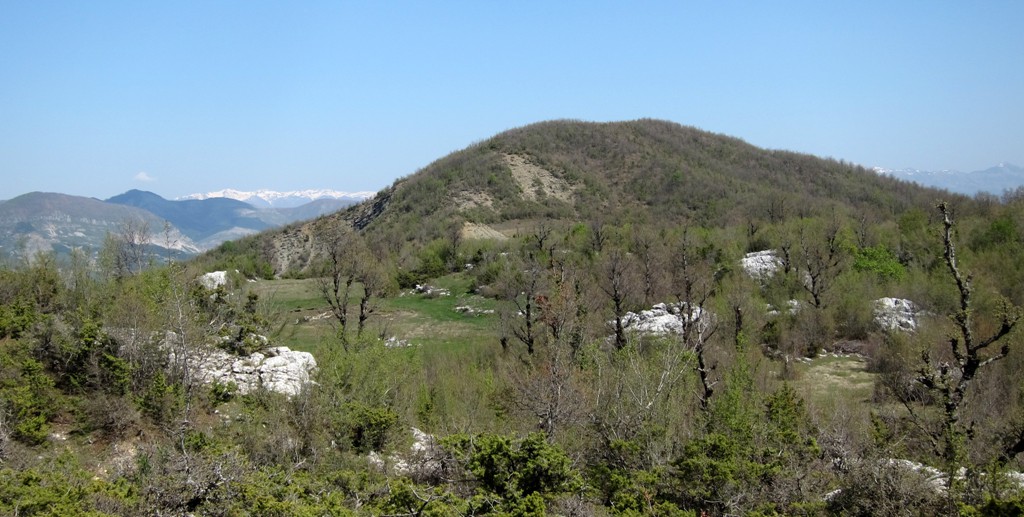
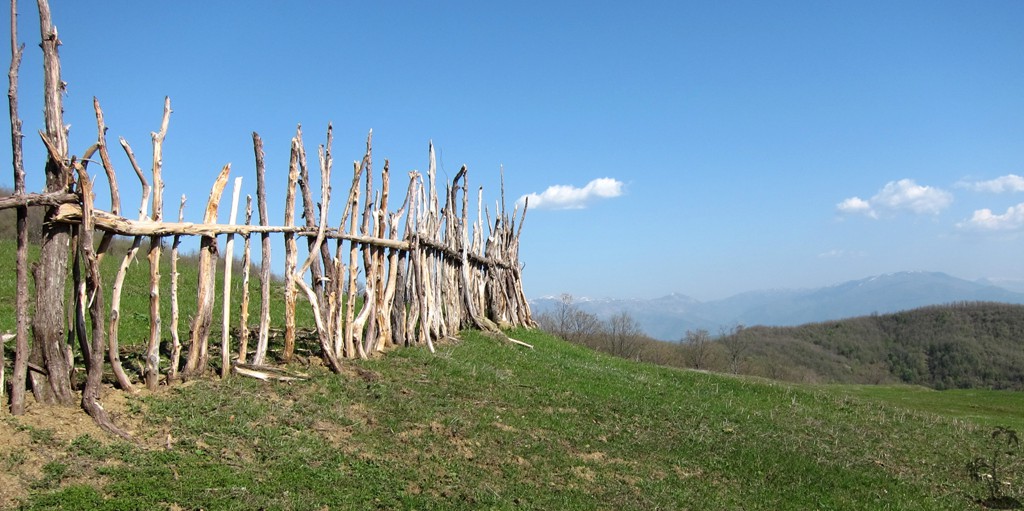
Kodra e Malit (the hill of the mountain) and Maja e Kalasës are the
two highest points on the plateau east of Krrabe. While the "hills"
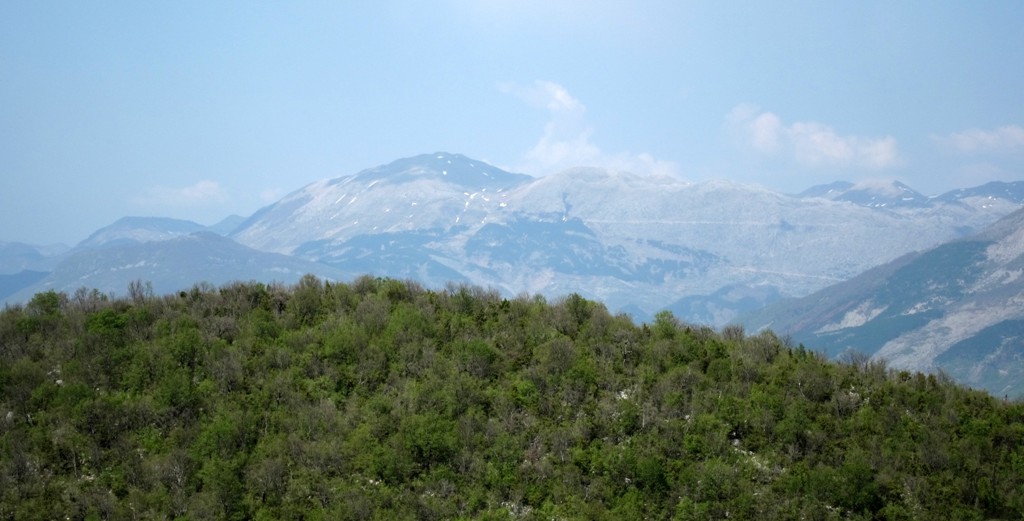
of Kodra and Kalasës stand above the plateau for only a 100 meter or
so, they offer good views, as do the trails.
This is an easy hike, starting at the radiomasts in Krrabe, at about
800 Meter altitude. The radio towers can be reached by a
high-clearance vehicle (see waypoints guiding you through Krrabe).
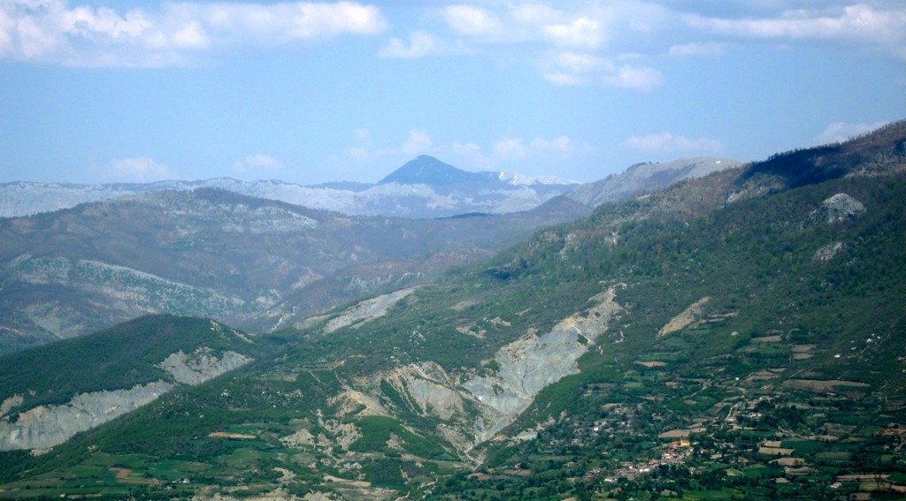
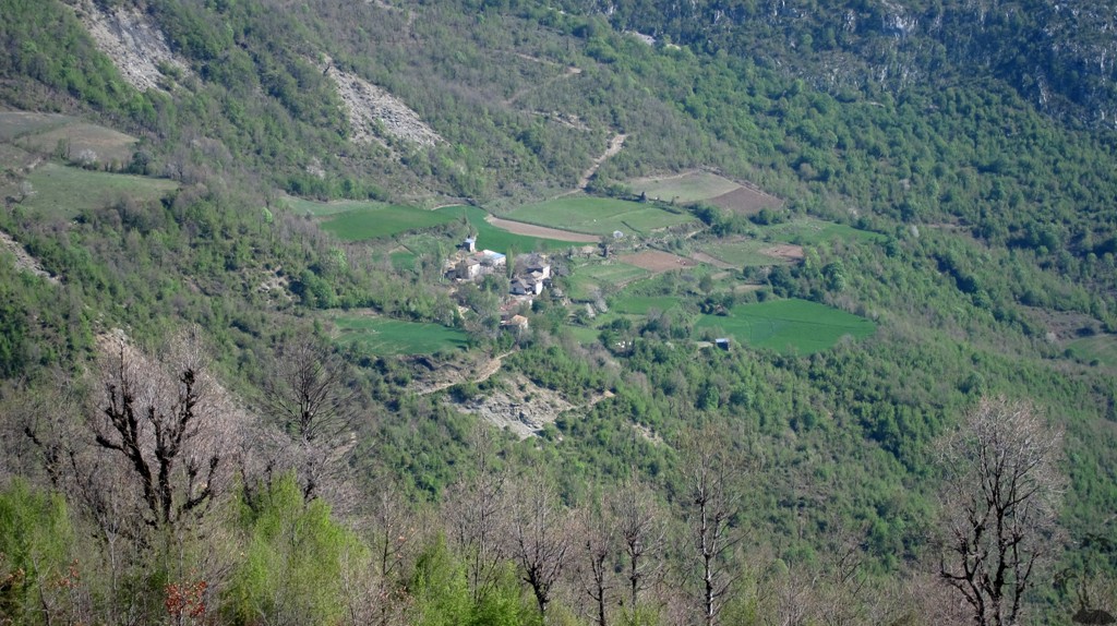
However, be warned, the loop hike dips from the Kodra hill into the
valley draining towards Elbasan, requiring an ascent back to
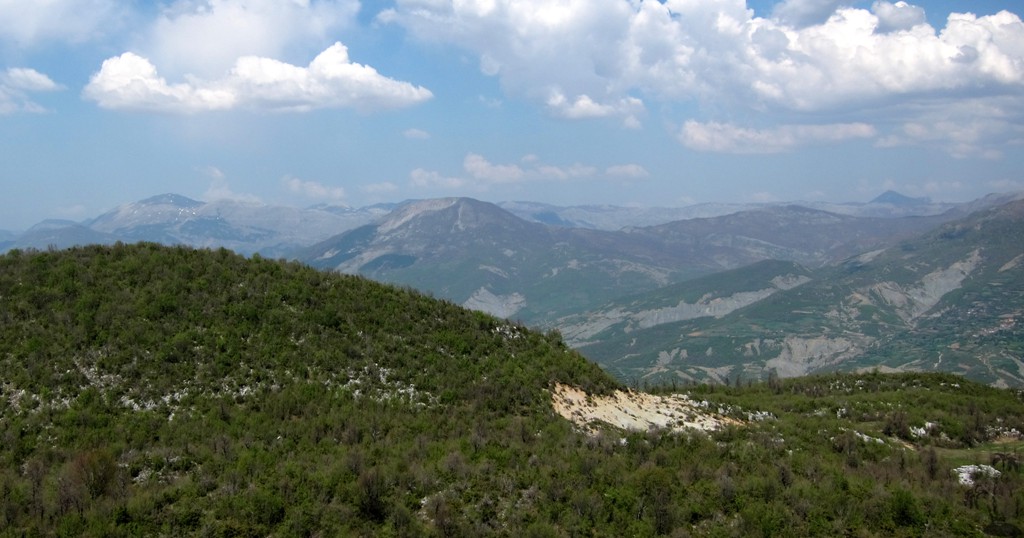
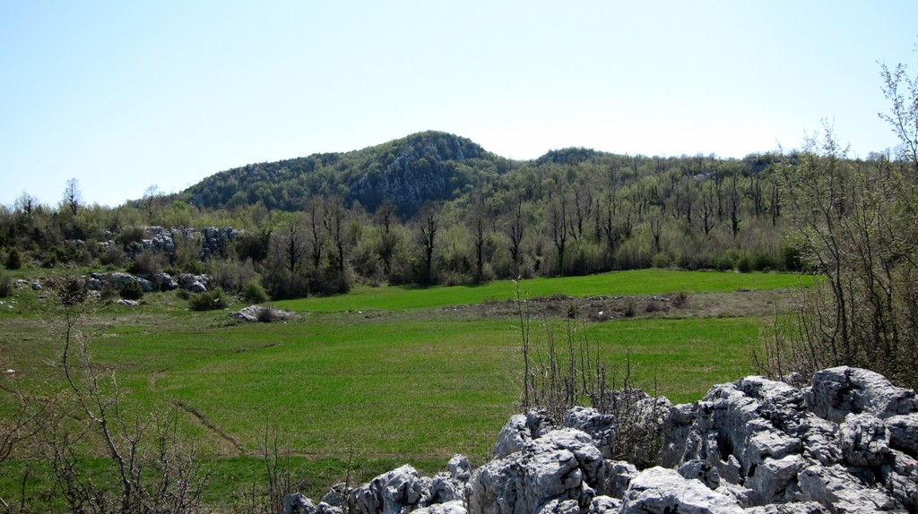
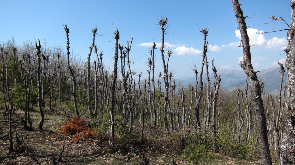
radiotowers. Especially the second part of the trail, from Kodra
into the valley, is particularly beautiful.
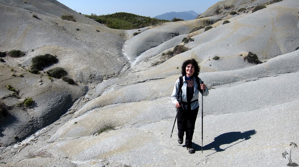
The final ascents to Kodra and Kalasës require some mild
bushwhacking. The straight line close to the beginning of the hike
denotes a failure of our GPS unit, but the path cannot be missed.
| Maximum altitude: | 1089 meter |
| Minimum altitude: | 648 meter |
| Cumulative height: | 523 meter |
| Cumulative length: | 8.95 kilometer roundtrip |
| Difficulty | easy |
| Time: | 4 hours or less |
| Date of this record | April 2012 |
| Download GPS info: | Kodra and Kalasës |
General location and approach: Drive to Krrabe and follow the extra waypoints through Krrabe up to the Radio towers. The road was tarmaced long time ago, and badly broken up. A high clearance vehicle is of definite advantage.
Other Information: It is be possible to connect this hike with others around Krrabe.
GPS and trailmaps: The map and trailinformation is generated by www.wikiloc.org, based on GPS information collected from the actual hike. Waypoints can be downloaded to a GPS device from Wikiloc. If necessary, use GPSBabel to convert GPS data to different formats. For more hike descriptions by Palmtreetreeproduction, browse this website or visit Wikiloc and search for "Palmtreeproduction". You may also find nearby trails from other authors.
Google Earth: You may also view the trail in 3D by viewing it directly in Google Earth. You need to have Google Earth installed on your computer. Activate "wikiloc"in the "Gallery" menu in Google earth.