PALM TREE PRODUCTIONS
back to Albania site back to hikes and climbs back to Locations and Travel
Kalofsh Mirë on Korbit Hill![]()
![]()
Summary:
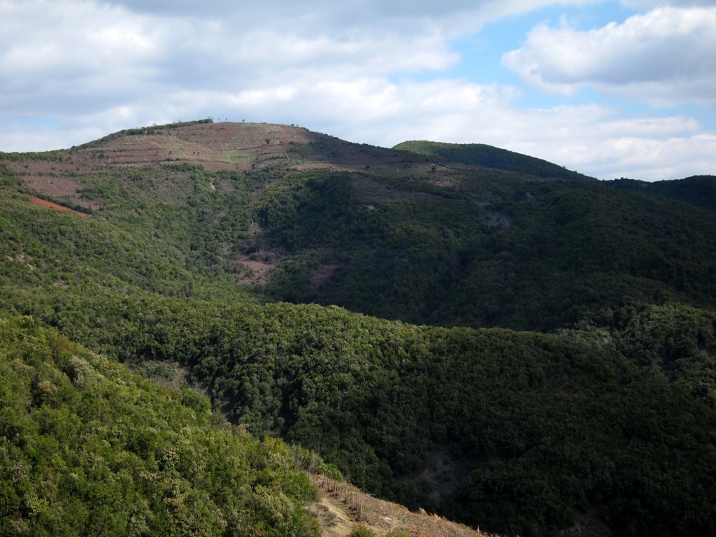
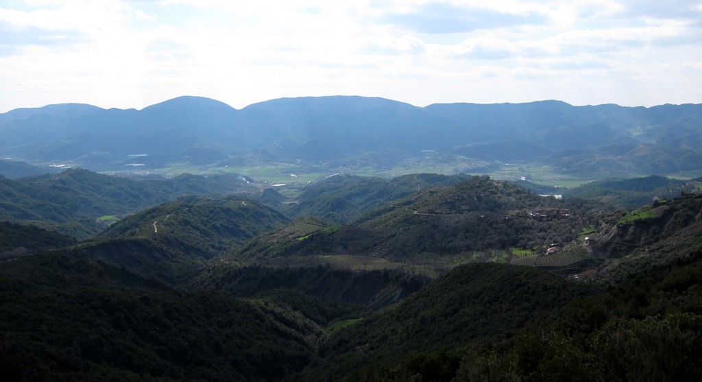
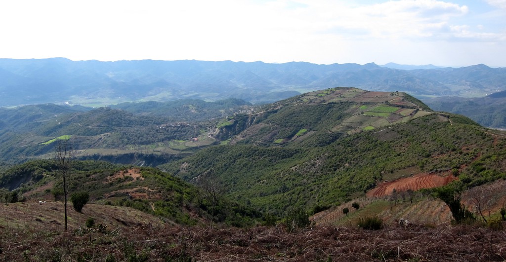
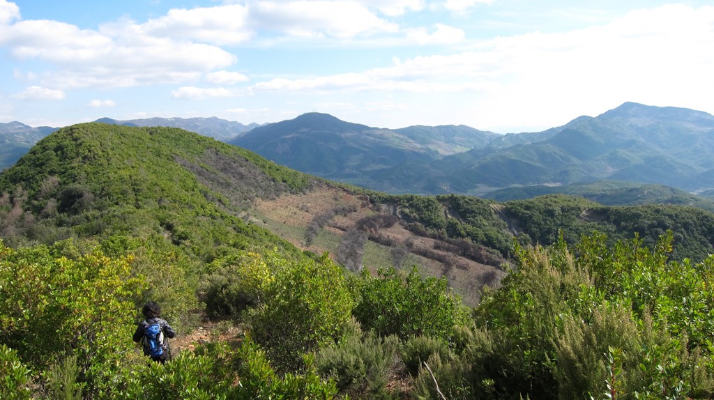
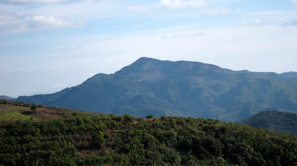
You would not necessarily associate Korbit Mountain with
ice-crusted mountaineers dangling from taut ropes. For a starter,
with about 540 meter altitude it is not of memorable height,
especially as an easy 4WD road leads to the village of Shpatë at 360
meter. And then the path is wide most of the time, though you can
build in as many difficulties as you wish.
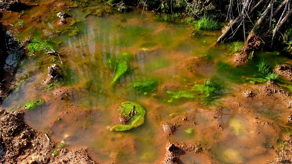
But after weeks of pounding rain, with the sun coming out though
much of the underfoot still soaked, Korbit is a good energizer.
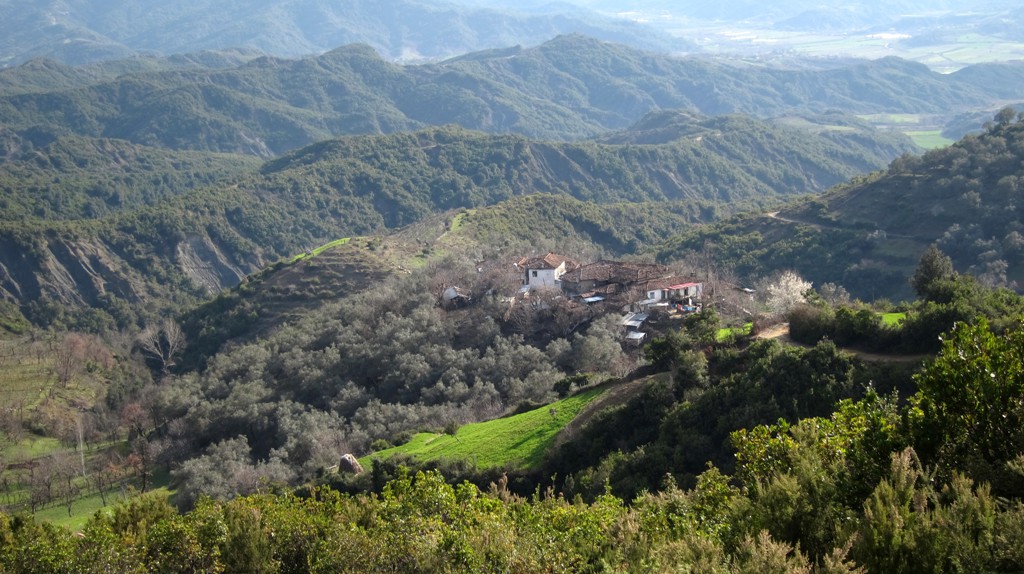
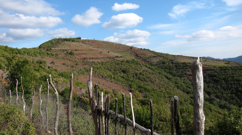
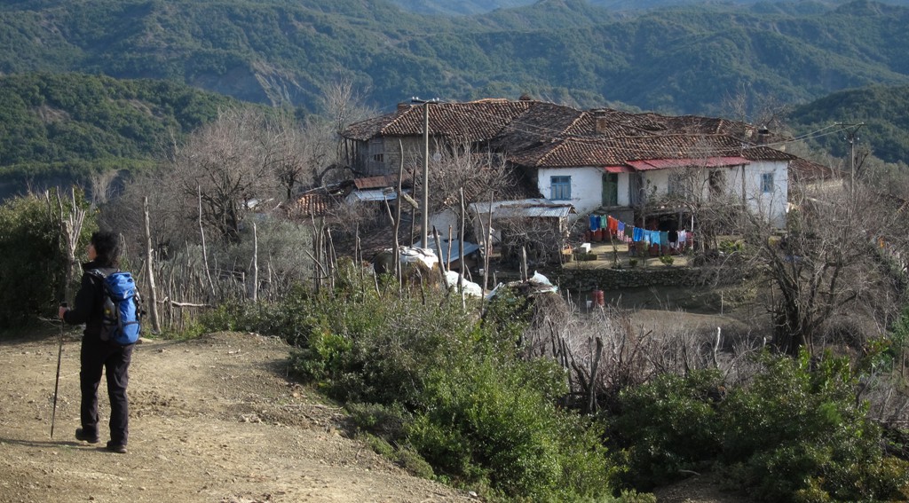
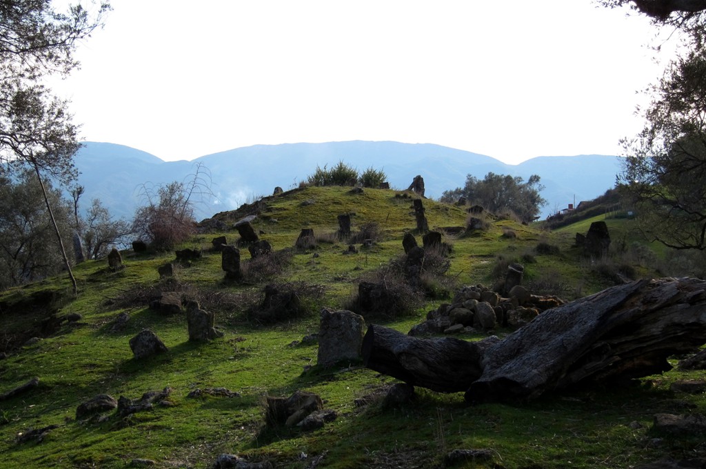
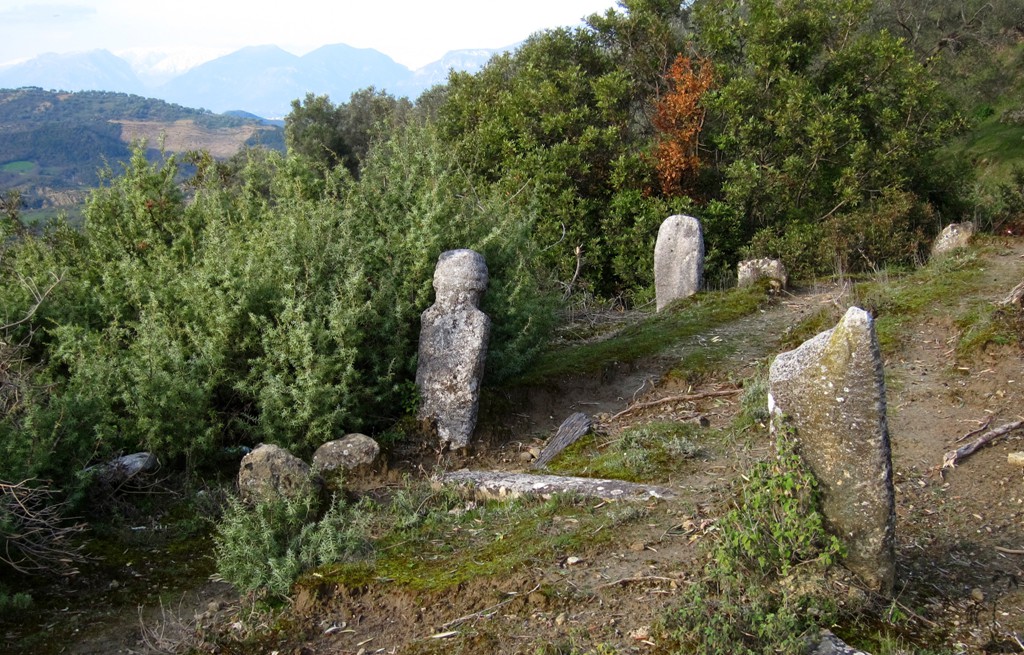
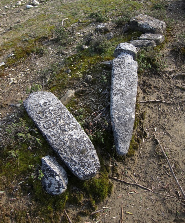
Unlike many other destinations, Korbit is cultivated to the top, and
you may meet one or the other villagers busy riding up and down to
their fields - always extending a warm greeting and departing with a
Kalofsh Mirë. They seem to be aware how lovely their old olive
orchards are - and to be glad that you are here.
The Drive: Leave Tirana towards Petrele. Before reaching Petrele, turn right to Baldushk. Follow the asphalt road towards Baldushk, until you reach the waypoint to Shpatë village. Follow the dirt road up the mountain, until the trailhead.
| Maximum altitude: | 372 meter |
| Minimum altitude: | 174 meter |
| Cumulative height: | 201 meter |
| Cumulative length: | 2.70 kilometer |
| Difficulty | easy |
| Time: | half hour |
| Date of this record | March 2013 |
| Download GPS info: | Spatë drive |
The Hike:
| Maximum altitude: | 553 meter |
| Minimum altitude: | 363 meter |
| Cumulative height: | 195 meter |
| Cumulative length: | 2.58 kilometer one way |
| Difficulty | easy |
| Time: | 1+ hour one way |
| Date of this record | March 2013 |
| Download GPS info: | Korbit Hike |
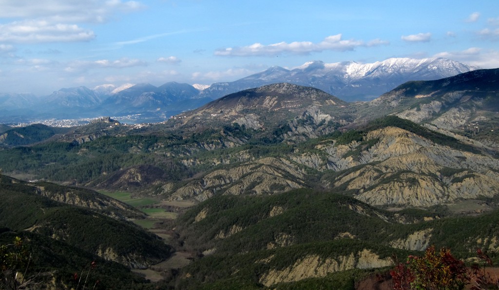
General location and approach: South of Tirana, near the village of Baldushk


GPS and trailmaps: The map and
trailinformation is generated by
![]() , based
on GPS information collected from the actual hike. Waypoints
can be downloaded to a GPS device from Wikiloc. If necessary, use
GPSBabel to
convert GPS data to different formats. For more
hike descriptions by Palmtreetreeproduction, browse this
website or visit Wikiloc
and search for "Palmtreeproduction". You may also find
nearby trails from other authors.
, based
on GPS information collected from the actual hike. Waypoints
can be downloaded to a GPS device from Wikiloc. If necessary, use
GPSBabel to
convert GPS data to different formats. For more
hike descriptions by Palmtreetreeproduction, browse this
website or visit Wikiloc
and search for "Palmtreeproduction". You may also find
nearby trails from other authors.
Google Earth: You may also view the trail in 3D when viewing it in Google Earth, which you need to have installed on your computer. The 3D perspective allows a good preview of gradients, steepness, possible views and is generally helpful when planning a trip.