PALM TREE PRODUCTIONS
back to Albania site back to hikes and climbs back to Locations and Travel
Mali i Kërcinit![]()
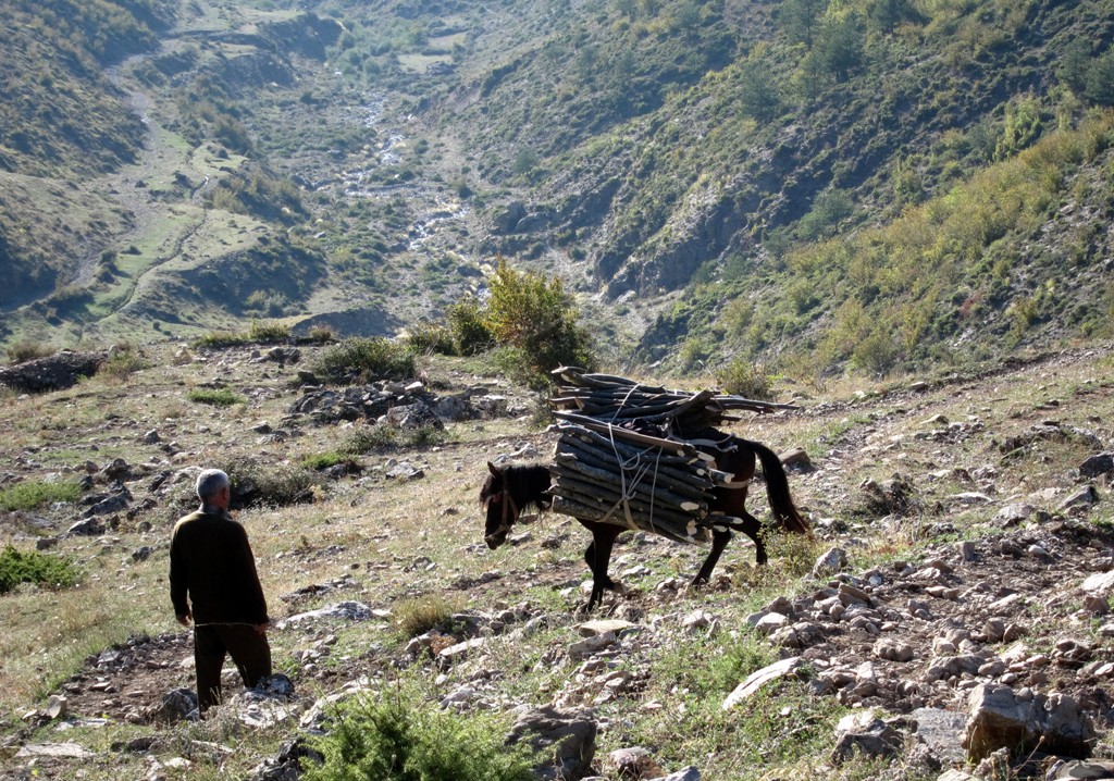
Summary: Mali i Kërçinit, or Kërçin, is one of the outstanding highpoints on the range separating Albania from Macedonia. With 2342 Meter altitude, it is some 20 Meter lower than neighboring Velivar (see wikiloc # 5228374), but the ascent is way more demanding. Your most likely trailhead is in Kërçisht Siperme, at 870 Meter altitude, thus requiring an elevation gain of close to 1500 Meter - about the same you need to climb Korab. Kërcin has been our climb with the most elevation gain done in one day - more than was needed for giants such as Tomorri or Nemercke.
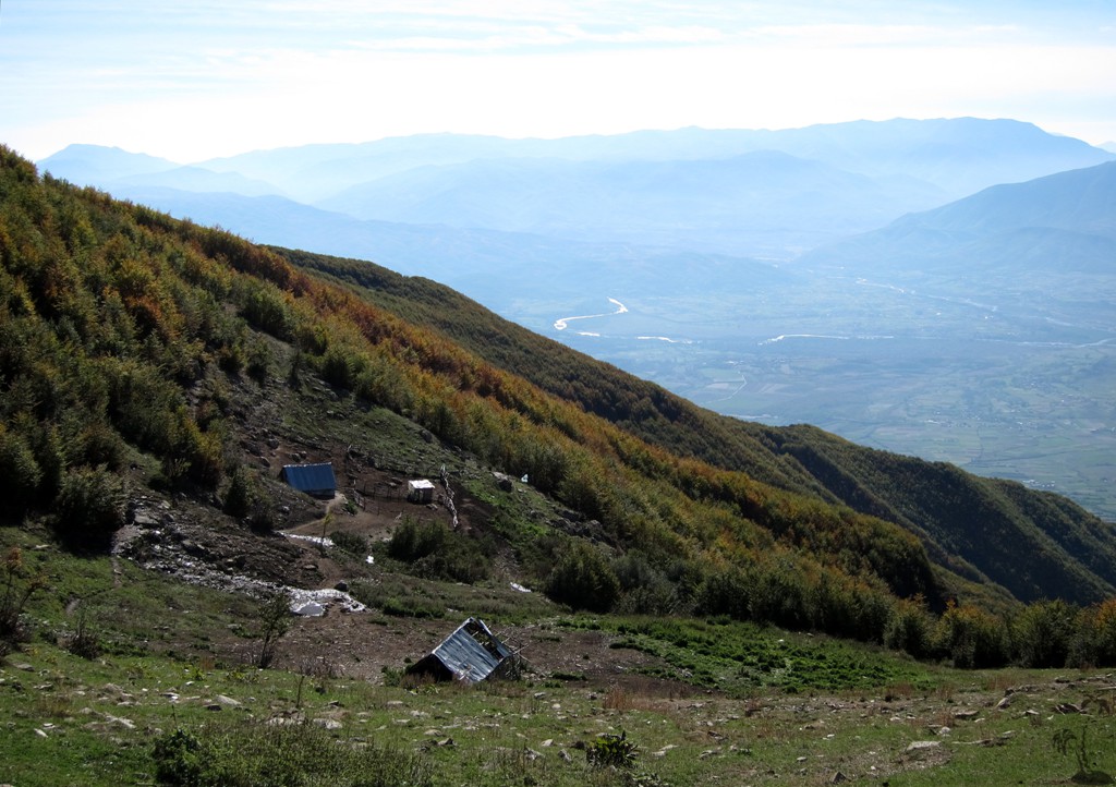
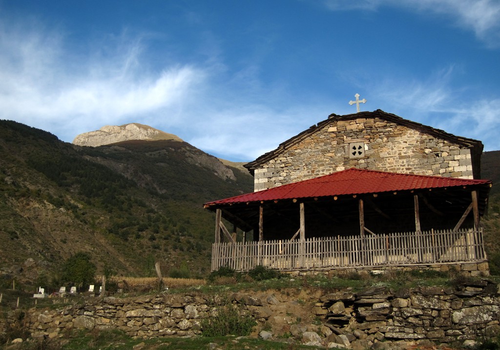
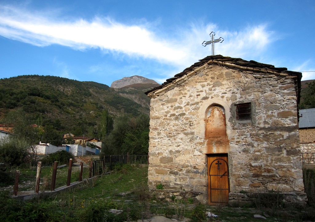
Kërçisht Siperme has some old churches on the list of the Ministry of Tourism, though they were locked and we didn't have the energy to look for the person with the key.
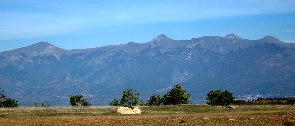
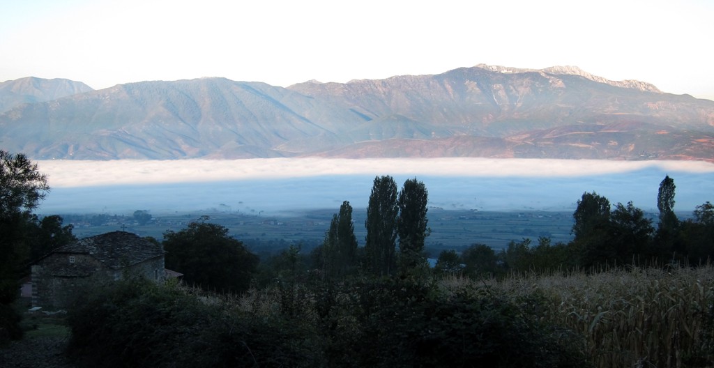
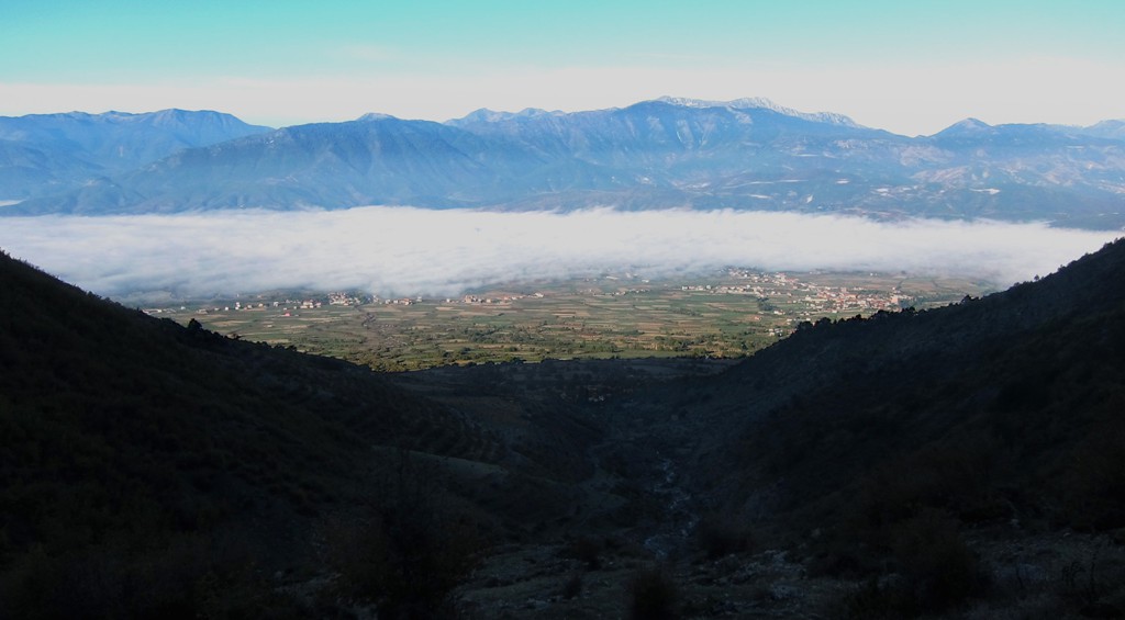
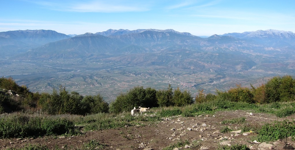
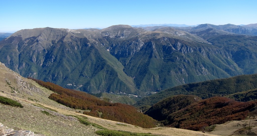
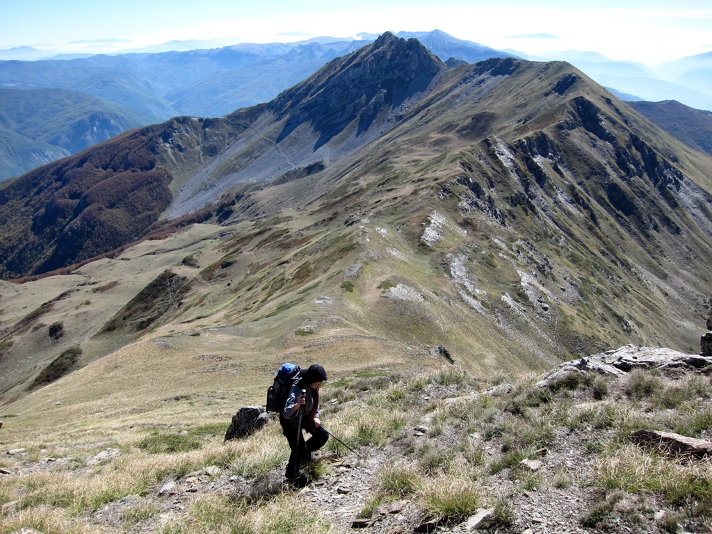
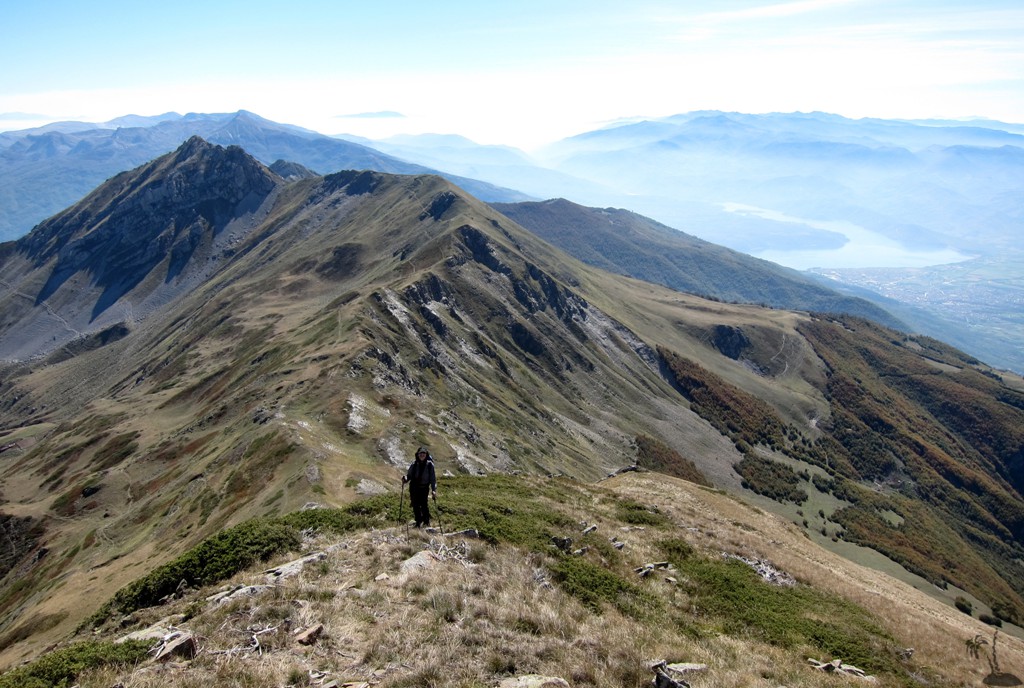
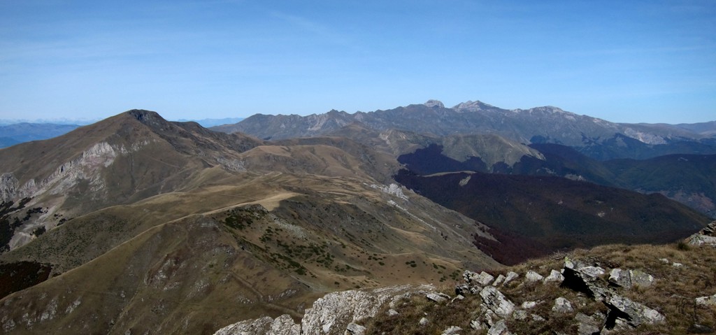
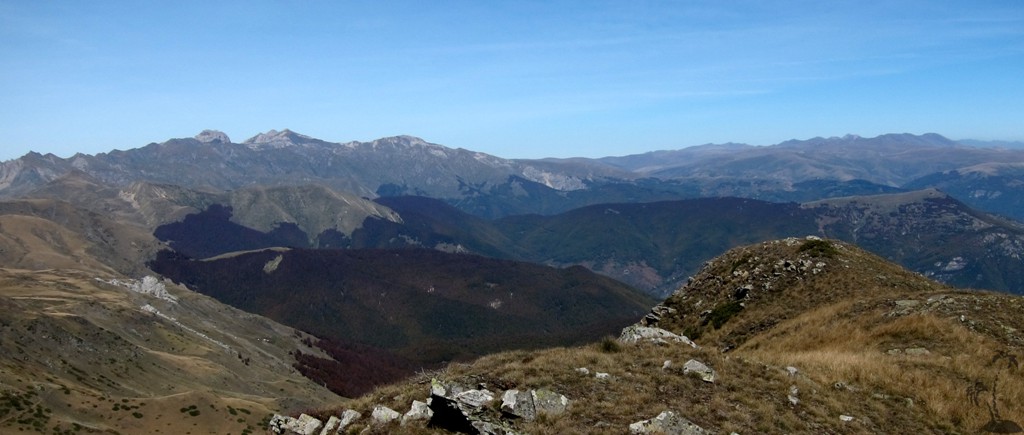
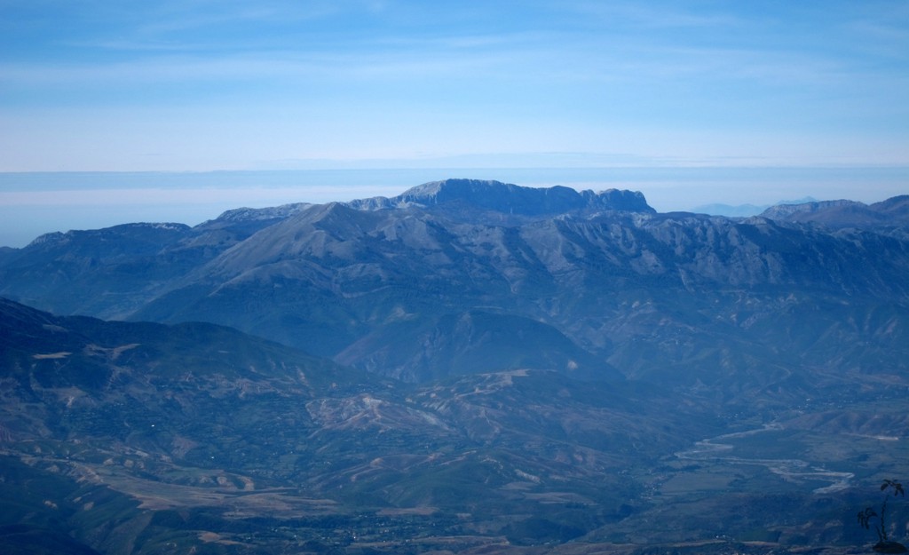
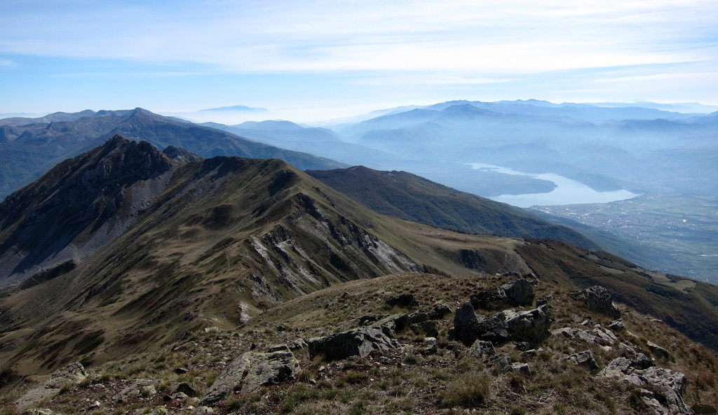
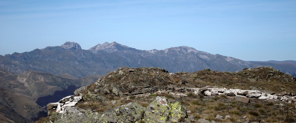
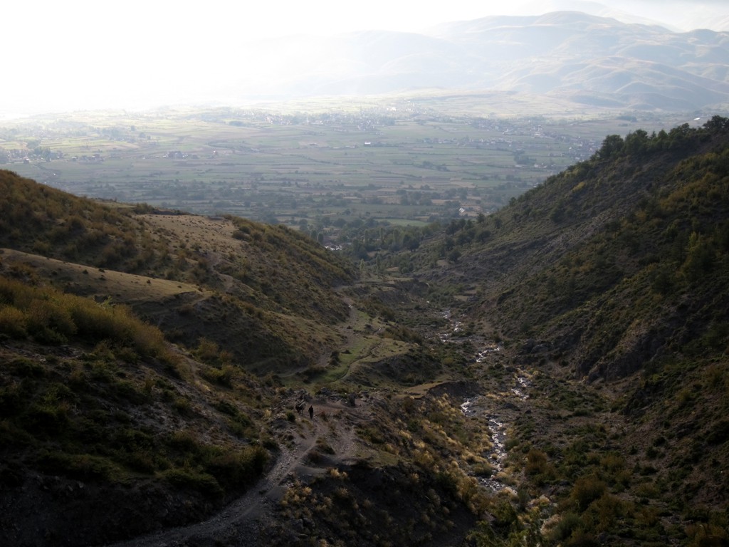
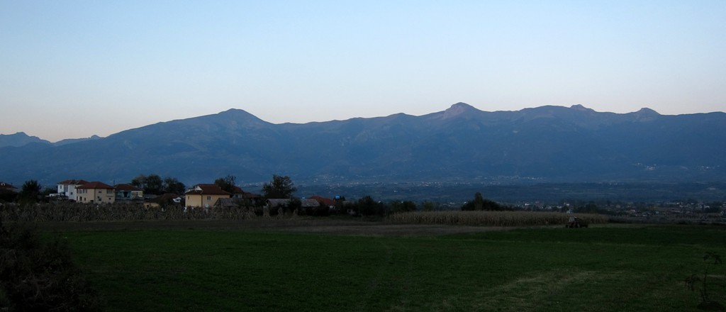
October seems to be a perfect day to climb Kërçin. A very dry day, with zero degree at the trailhead at 7 am and quite cold all the way up, we had one of the best views across Albania and Macedonia ever. To the north were Korab and Tito Vrh, the Albanian Alps gleamed in the sun, and in the far distance we thought we saw Rumija in Montenegro. More close-by were the Lure Mountains and Mali i Dejes, and to the south the Shebenik-Jablanica National Park.
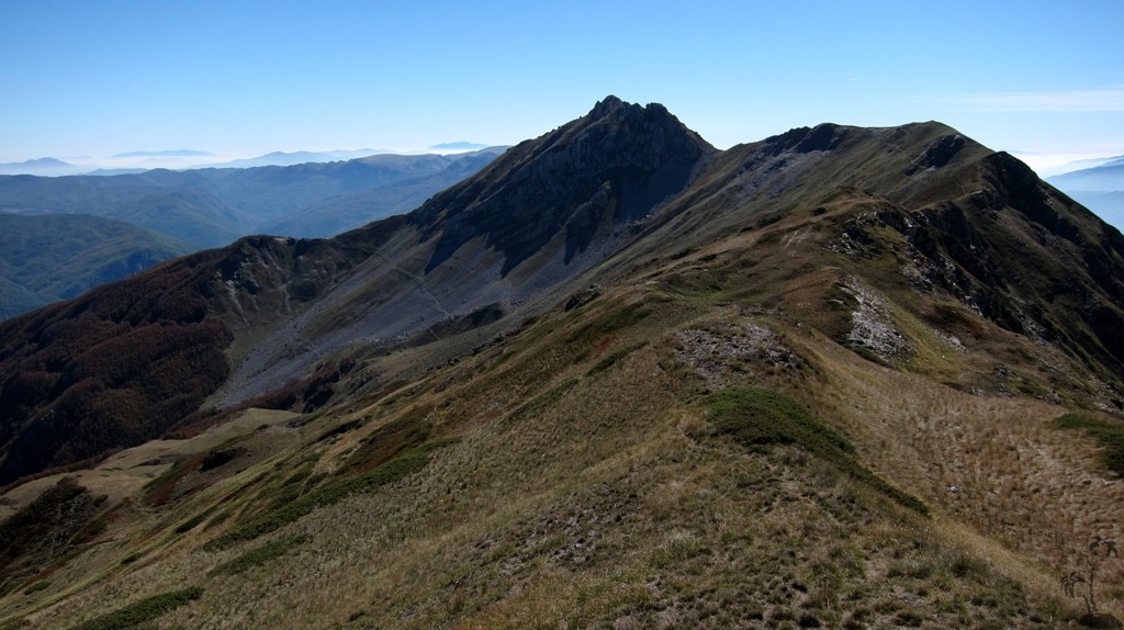
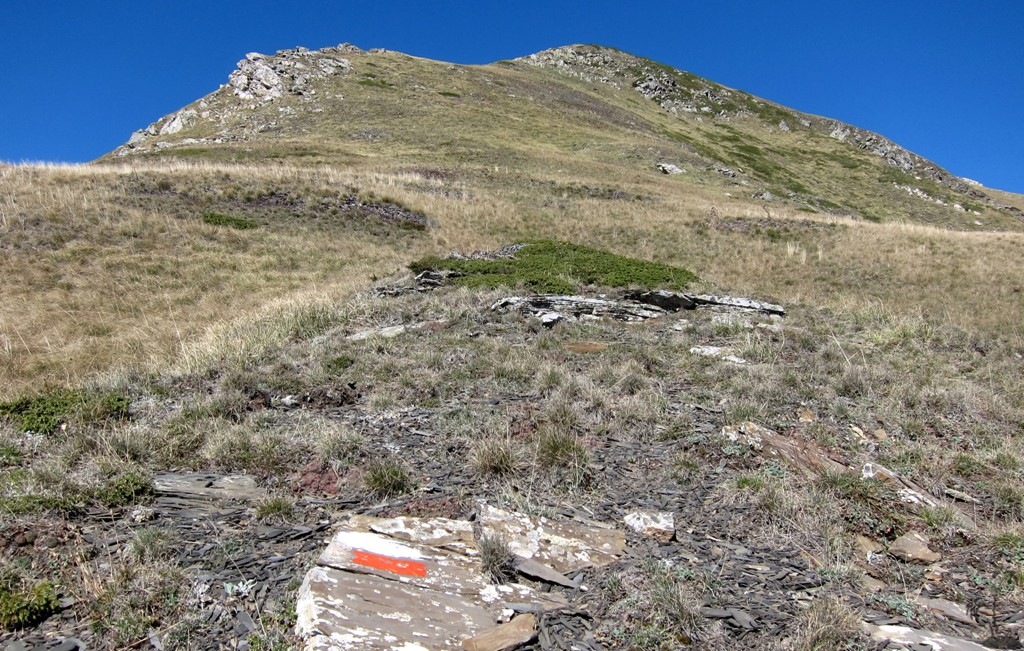
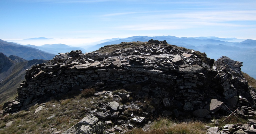
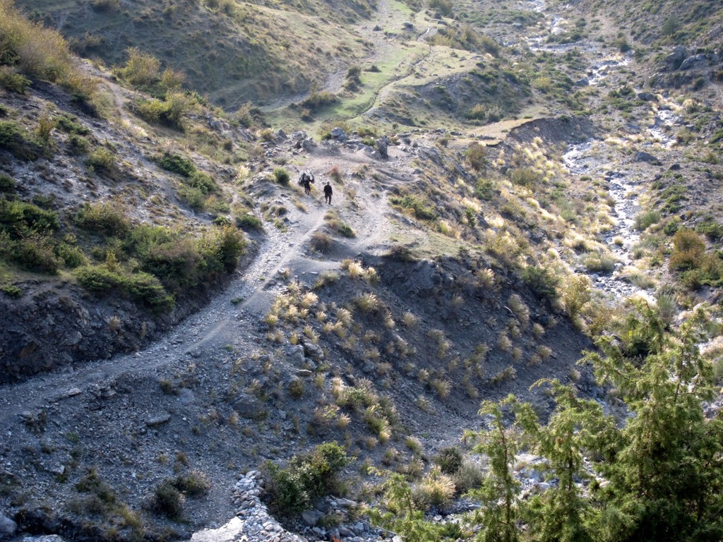
The Climb: The trail mostly follows mule trails, except for the piece from the summit ridge to the summit. On the summit ridge are some faint markers painted by Macedonian mountaineers. Overall, there is no difficulty. We would have rated the trail as easy, wouldn't it have been for the big elevation gain.
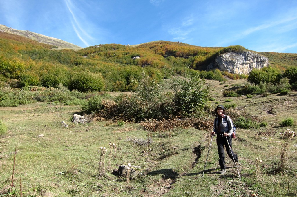
For the return, we followed the summit ridge down until waypoint 11, from where a sort of path leads to the more visible paths near the Stan.
| Maximum altitude: | 2342 meter |
| Minimum altitude: | 871 meter |
| Cumulative height: | 1468 meter |
| Cumulative length: | 6.57 kilometer one way |
| Difficulty | moderate |
| Time: | 5.5 hour up, 3.75 hours down |
| Date of this record | September 2013 |
| Download GPS info: | Kërçin |
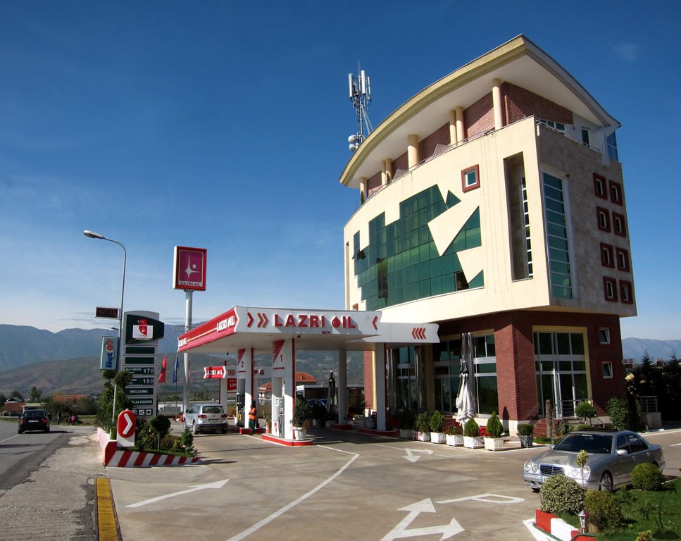
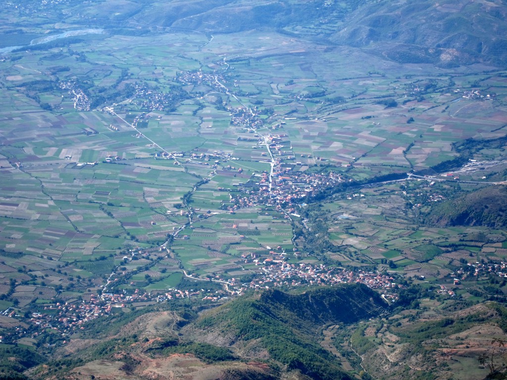
The Access: Kërçisht is easily reached, even without 4WD, from Maqellare. There is a comfortable and good-value-for money hotel at the Lazri fuel station.
| Maximum altitude: | 872 meter |
| Minimum altitude: | 591 meter |
| Cumulative height: | 281 meter |
| Cumulative length: | 4.05 kilometers |
| Difficulty | easy |
| Time: | 10 minutes |
| Date of this record | September 2013 |
| Download GPS info: | Trailhead Kërçin |
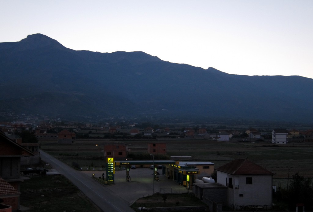
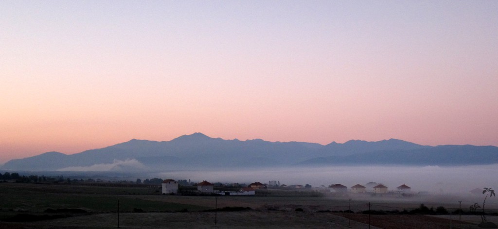
General location and approach: The base is Maqellare, near Peshkopi. Nowadays (end 2013) Maqellare can be reached from Tirana via the usual route through Burrel and Bulqize (about 3.5 hours), or via the Autobahn to Kukes and from there on a good new asphalt road through Peshkopi (4 hours). For our return trip we went from Maqellare to Librazhd, and on to Tirana via the new Elbasan tunnel. The new north-south road between Maqellare and Librazhed is almost completely ready to be tarmacked, with the last 10 kilometers already having asphalt.
Other Information: Peshkopi seems to have an active tourism board. Hotel Piazza in the center of Peshkopi provides a welcome addition to Peshkopi hospitality.

GPS and trailmaps: The map and
trailinformation is generated by
![]() , based
on GPS information collected from the actual hike. Waypoints
can be downloaded to a GPS device from Wikiloc. If necessary, use
GPSBabel to
convert GPS data to different formats. For more
hike descriptions by Palmtreetreeproduction, browse this
website or visit Wikiloc
and search for "Palmtreeproduction". You may also find
nearby trails from other authors.
, based
on GPS information collected from the actual hike. Waypoints
can be downloaded to a GPS device from Wikiloc. If necessary, use
GPSBabel to
convert GPS data to different formats. For more
hike descriptions by Palmtreetreeproduction, browse this
website or visit Wikiloc
and search for "Palmtreeproduction". You may also find
nearby trails from other authors.
Google Earth: You may also view the trail in 3D by clicking "view in Google Earth" when on Wikiloc. You need to have Google Earth installed on your computer.