PALM TREE PRODUCTIONS
back to Albania site back to hikes and climbs back to Locations and Travel
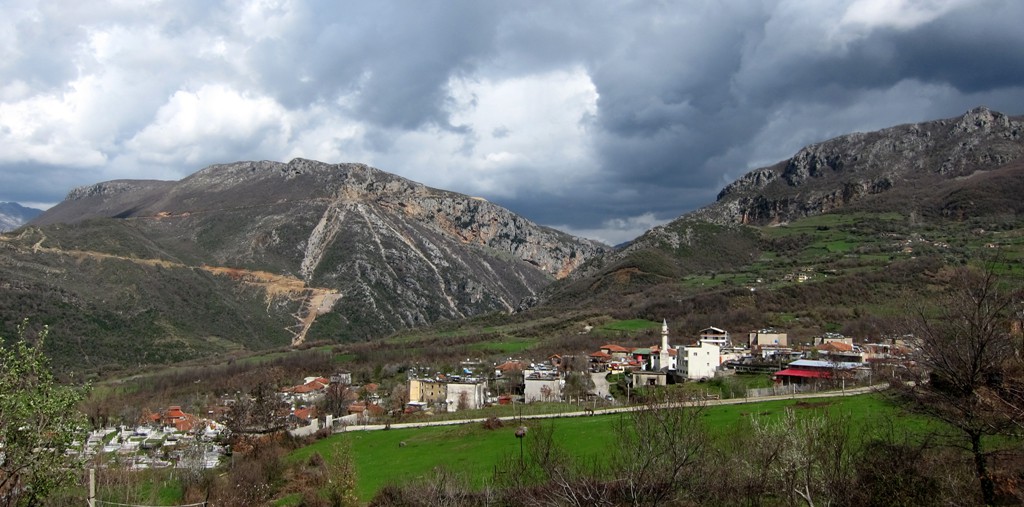
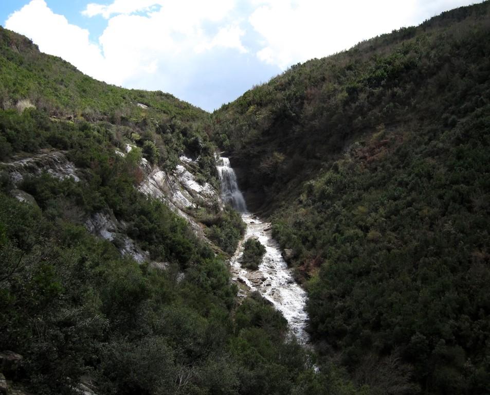
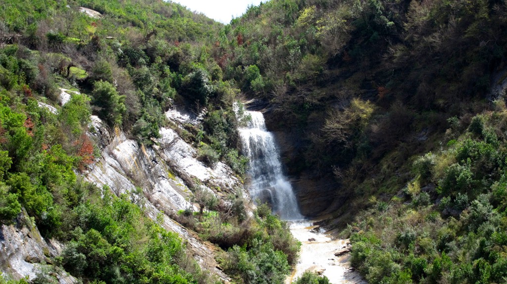
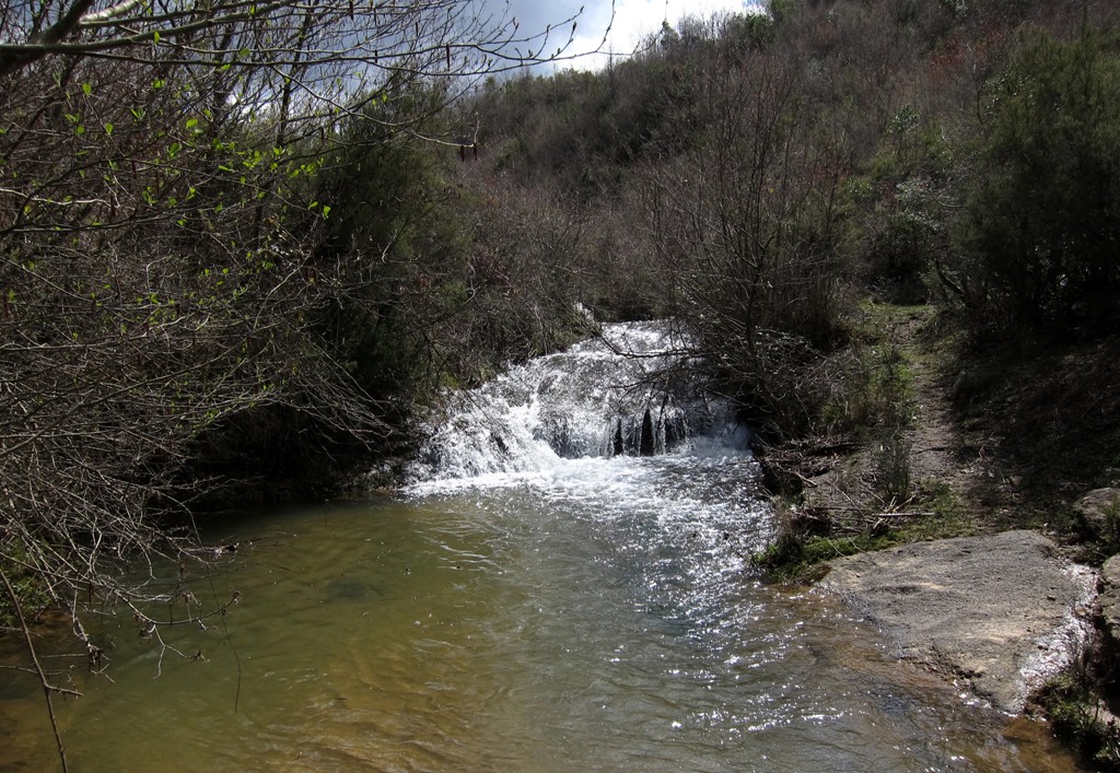
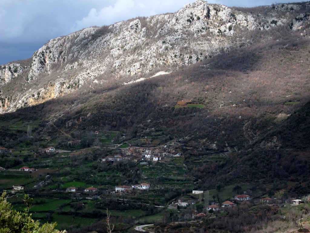
Streamhopping and Bushwhacking![]() near Krrabë
near Krrabë
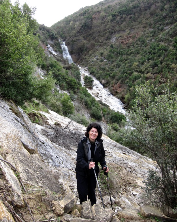
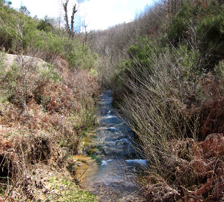
Summary: This hike to a beautiful waterfall near Krrabë is proof that you can't have your cake and eat it. The waterfall is only there after a good heavy rain - or an entire season of rain! But then, the trails are muddy, and it will not be easy to cross all those little streams that are in your way, and which make up the waterfall.
The waterfall can be seen when driving on the old road from Tirana to Elbasan, near the village of Krrabë. The waterfall is left (east) of the new tunnel of the new Tirana - Elbasan highway. We went there on 1 April 2013, and the tunnel and the road were still a construction site. Most likely by the time of the election in June 2013, much of the new road will be done. We hope that the waterfall will still be visible, most probably also from the new road.
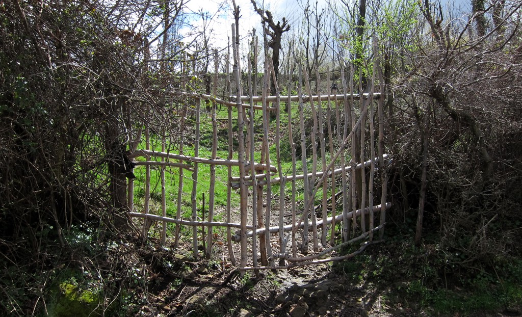
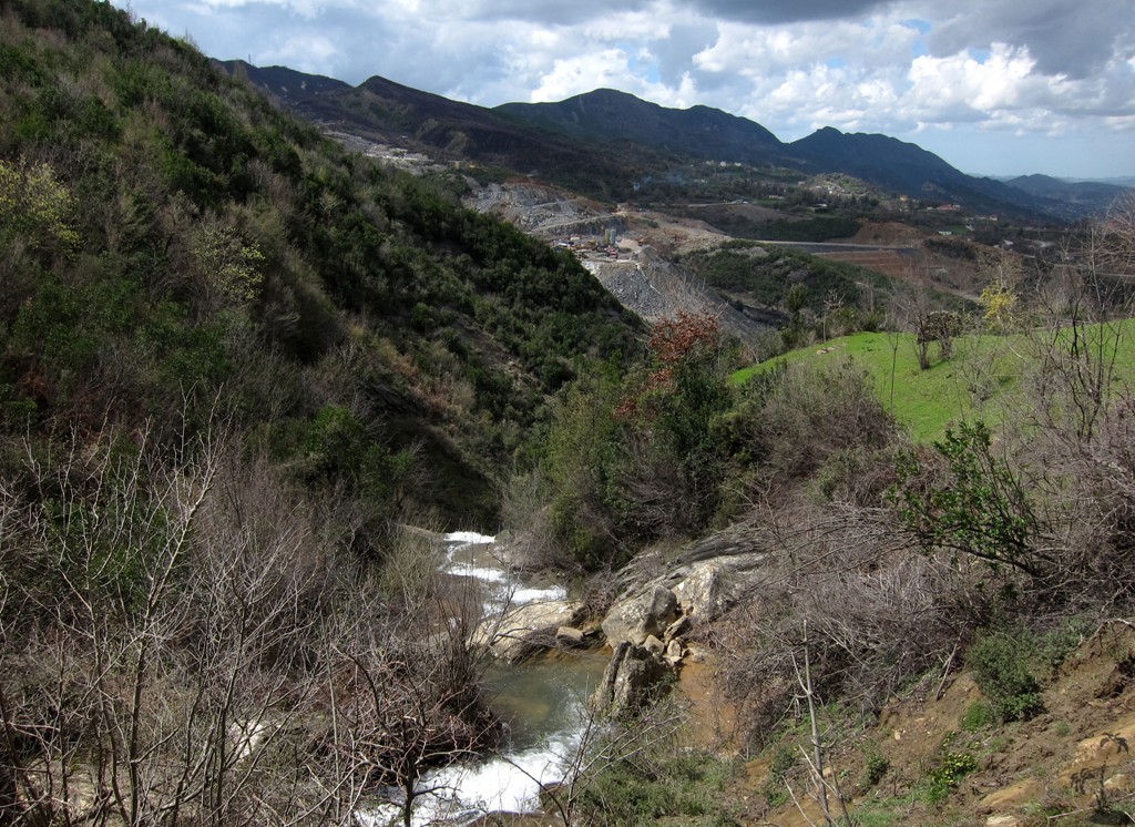
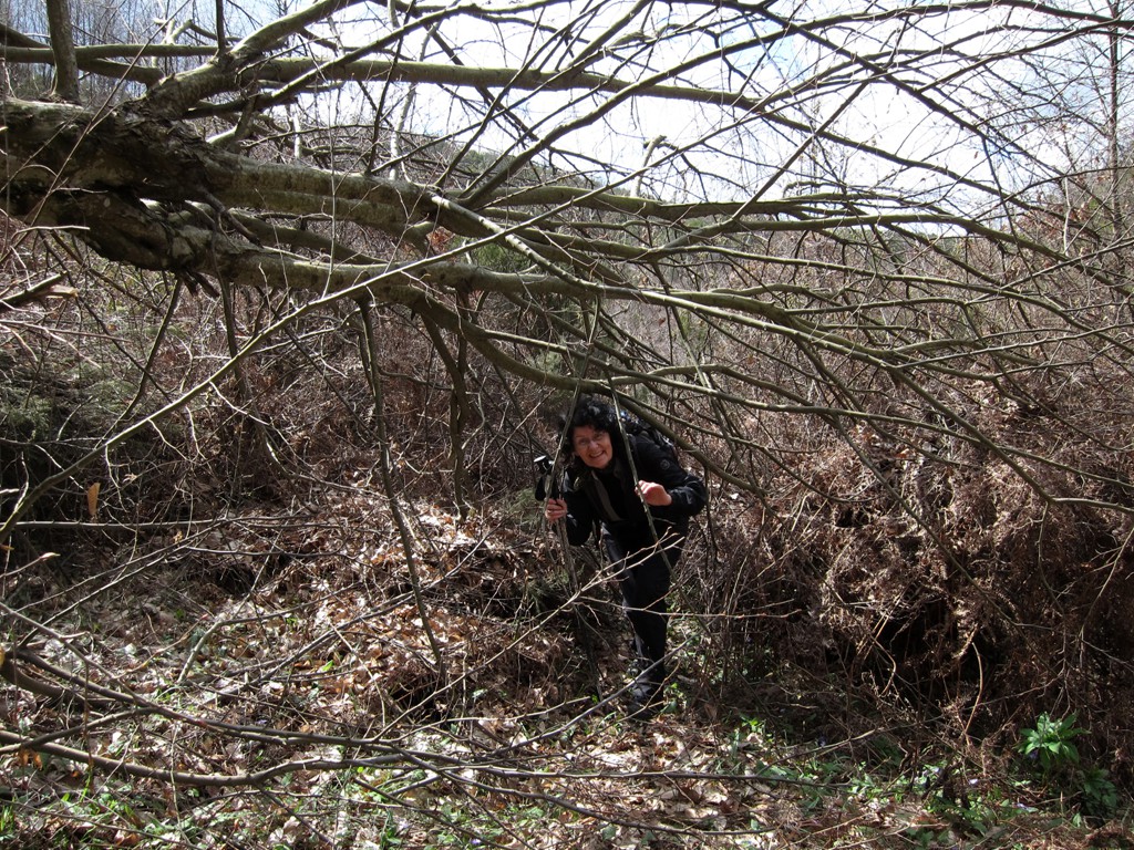
Most of the trail follows old village paths - except for about 200 Meter or so between waypoint 4 and 5, where the paths are overgrown and orientation difficult. That's why we gave it a moderate-difficulty rating. Just keep going!
The Hike: Also this hike
| Maximum altitude: | 620 meter |
| Minimum altitude: | 414 meter |
| Cumulative height: | 250 meter |
| Cumulative length: | 5.2 kilometers |
| Difficulty | moderate |
| Time: | 3 hours |
| Date of this record | April 2013 |
| Download GPS info: | Waterfall near Krrabë |
General location and approach: The hike
starts in the village of Krrabë. Drive through the center
and turn right, staying on asphalt, until you reach the
trailhead
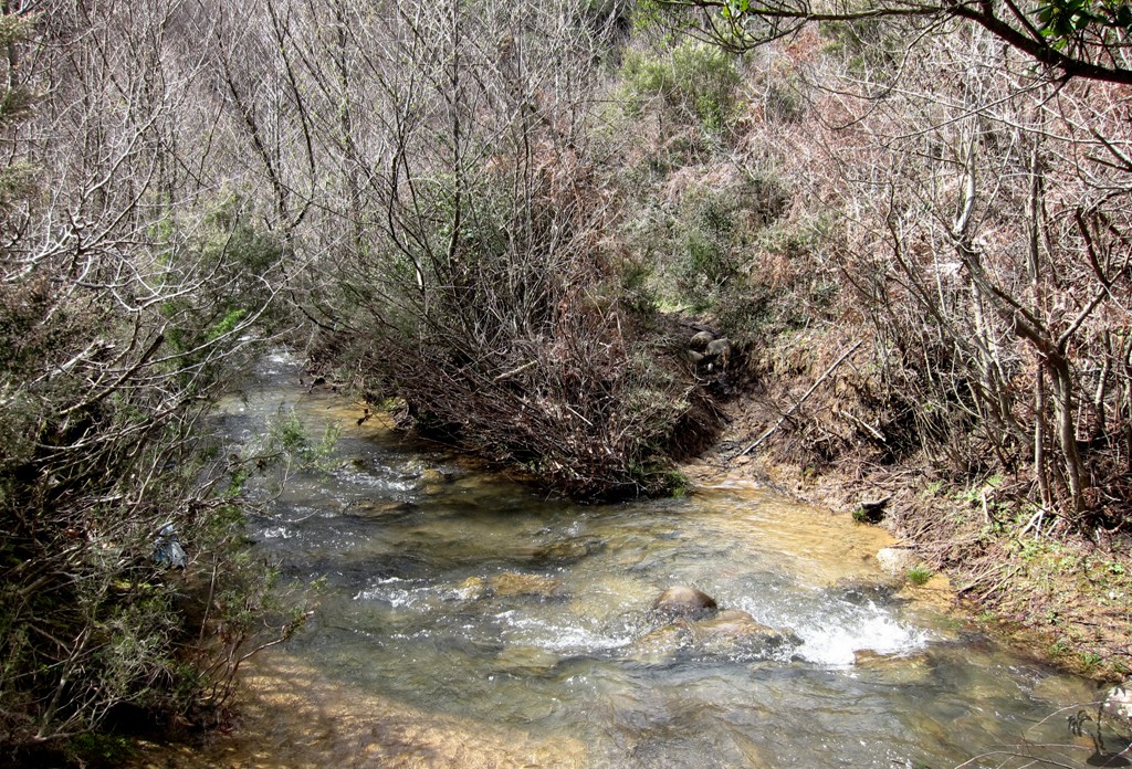
Other Information: The waterfall is best seen in the rainy season - this being the case - beware of muddy trails, slippery rocks, and stream crossing that may require you to take of your boots!
GPS and trailmaps: The map and
trailinformation is generated by
![]() , based
on GPS information collected from the actual hike. Waypoints
can be downloaded to a GPS device from Wikiloc. If necessary, use
GPSBabel to
convert GPS data to different formats. For more
hike descriptions by Palmtreetreeproduction, browse this
website or visit Wikiloc
and search for "Palmtreeproduction". You may also find
nearby trails from other authors.
, based
on GPS information collected from the actual hike. Waypoints
can be downloaded to a GPS device from Wikiloc. If necessary, use
GPSBabel to
convert GPS data to different formats. For more
hike descriptions by Palmtreetreeproduction, browse this
website or visit Wikiloc
and search for "Palmtreeproduction". You may also find
nearby trails from other authors.
Google Earth: You may also view the trail in 3D when viewing it in Google Earth, which you need to have installed on your computer. The 3D perspective allows a good preview of gradients, steepness, possible views and is generally helpful when planning a trip.