PALM TREE PRODUCTIONS
back to Albania site back to hikes and climbs back to Locations and Travel
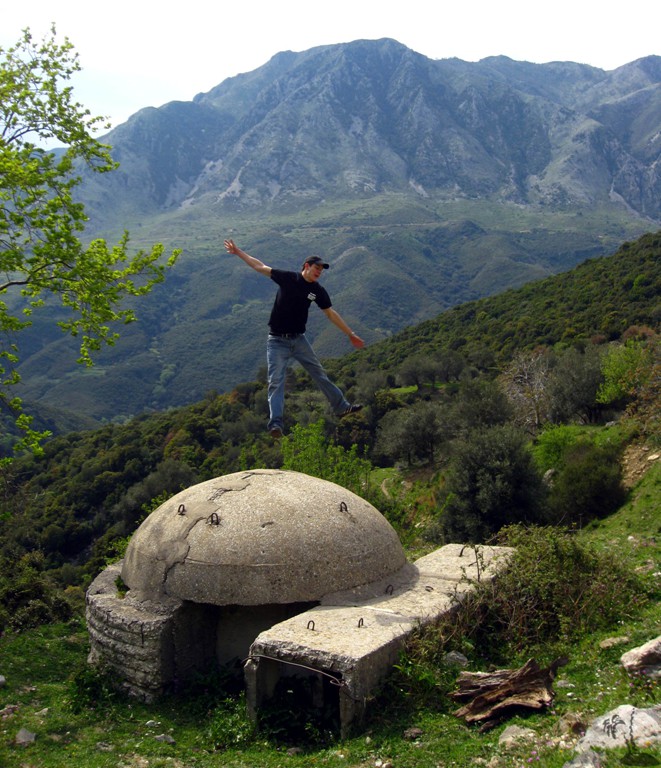
Vlorë-Kuç-Çorraj-Borsh![]()
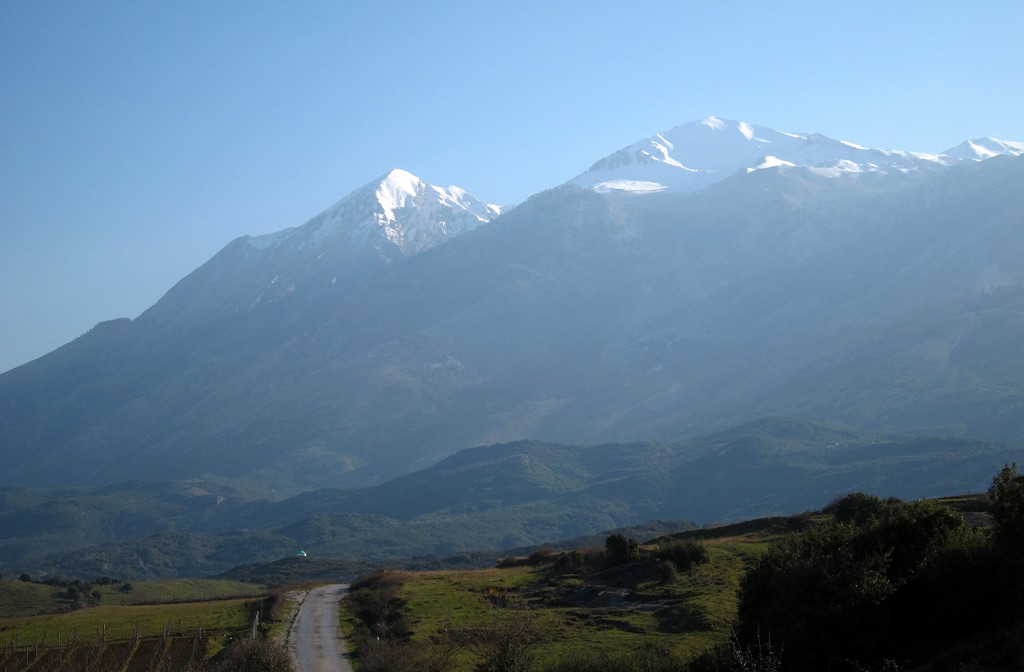
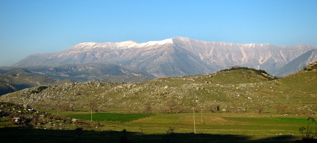
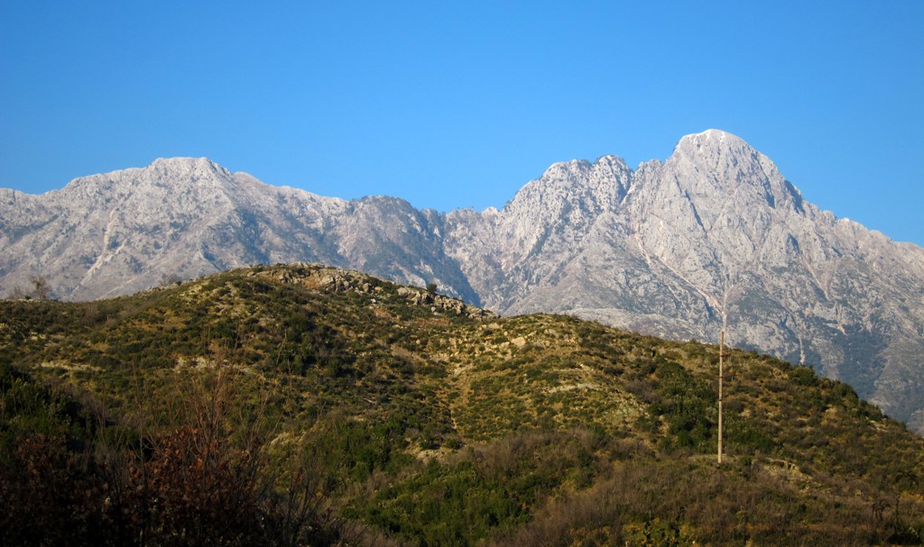
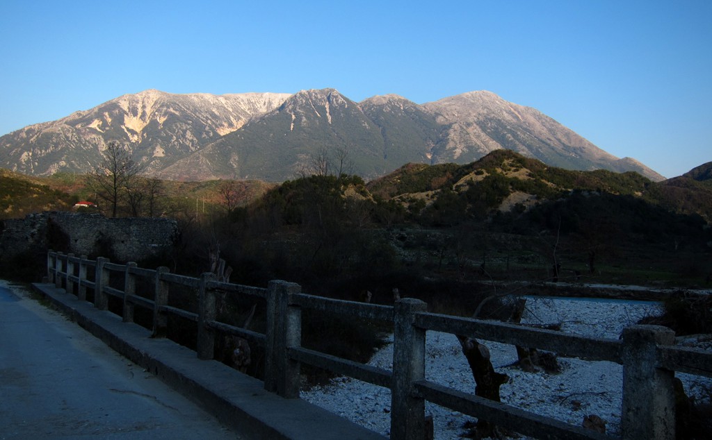
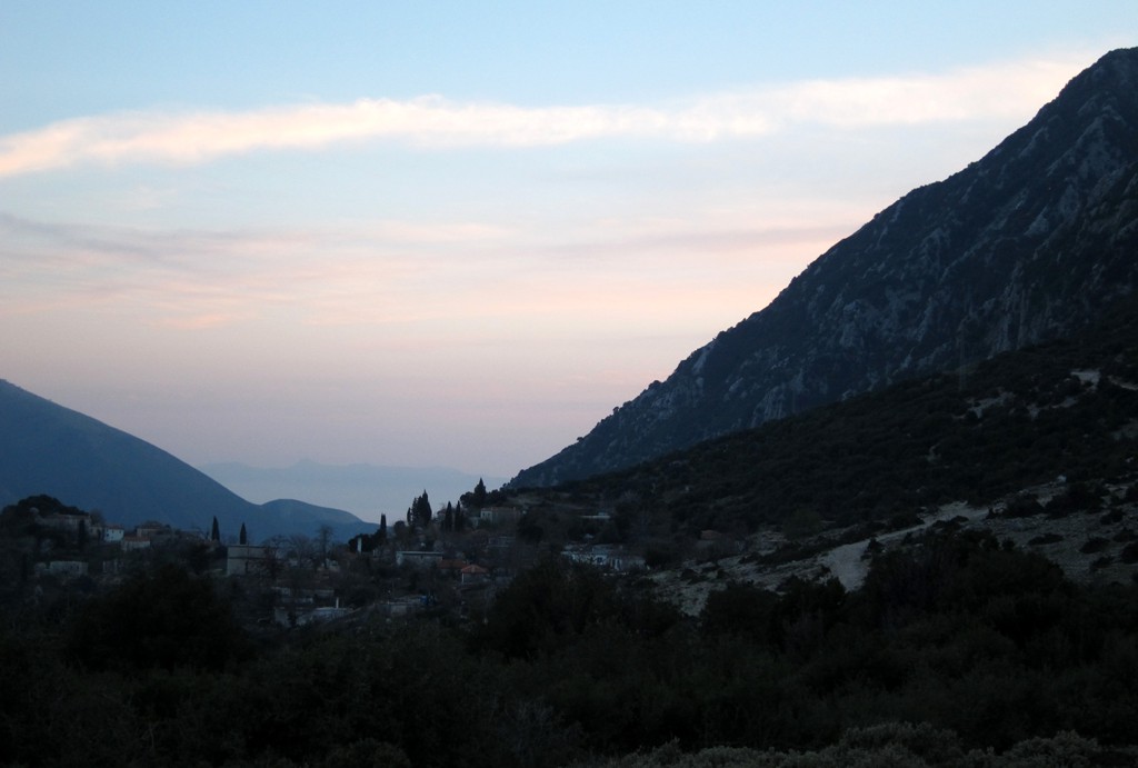
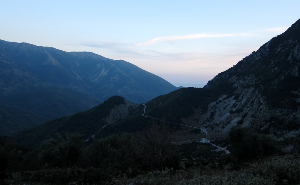
Summary: The road from Vlorë to Borsh through Kurvelesh (the valley of the Shushice River, behind the coastal mountain range) is a welcome alternative for those used to rush along the asphalt of the coastal highway connecting Vlorë with Himara and Saranda. For the Kurvelesh alternative, a 4WD is needed, and plenty of time, but the traveler will be rewarded with great views and insights into some secluded communities.
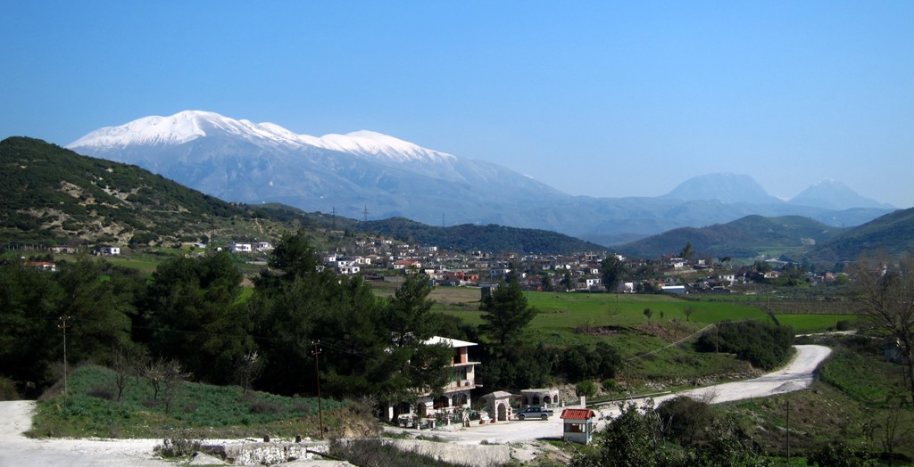
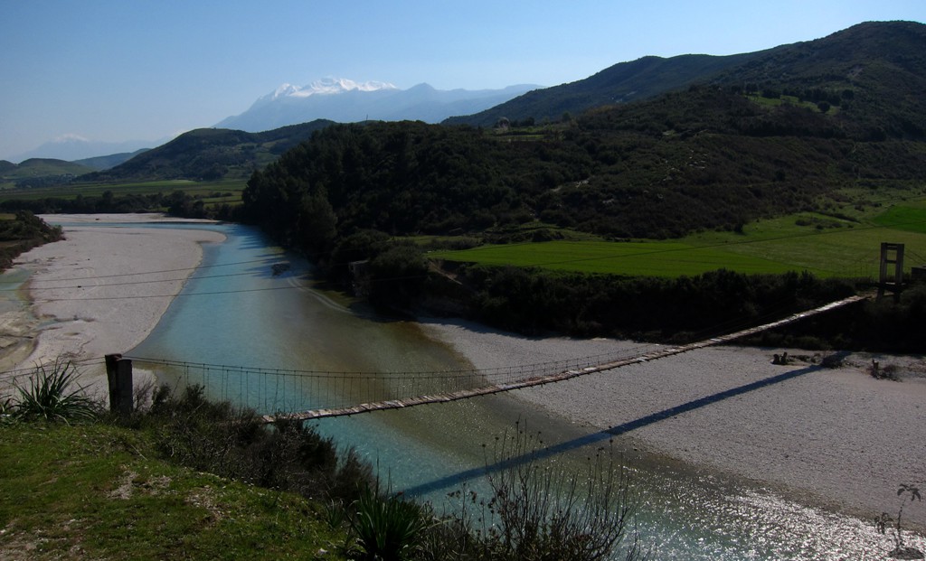
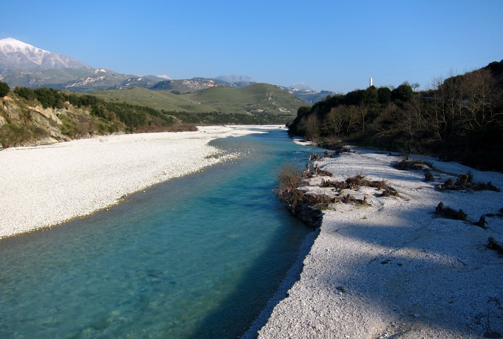
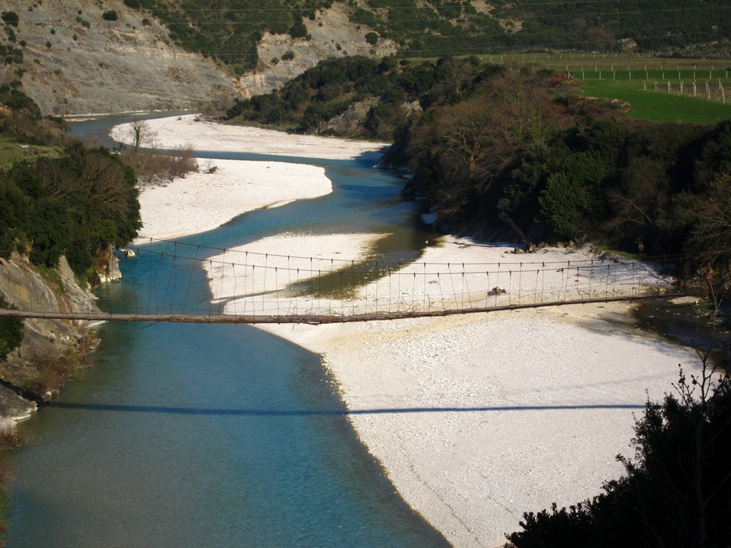
Several years we drove from Borsh to Kuç and Vlorë along what is still sign-posted as the main through road, passing along the village of Fterë. We are not sure that this is still the advisable option. Our route described here runs through the village of Çorraj, and while this road has been upgraded a while ago, it is still a little adventure. Coming from Kuç, the junction to Çorraj is not signposted but difficult to miss; having passed Çorraj the road descends into the basin of the Borsh river, along a soon to be completed hydro-power plant, and ends where the river crosses the Himara highway. This would be the place to look out for when wishing to drive in the opposite direction.
About 50 of the 77 kilometer are on rather broken asphalt, which can be more stressful for man and machine than an unpaved road; the rest is on dirt road.
| Maximum altitude: | 642 meter | ||||||||||||||||||||||
| Minimum altitude: | 2 meter | ||||||||||||||||||||||
| Cumulative height: | 1252 meter | ||||||||||||||||||||||
| Cumulative length: | 78 kilometer | ||||||||||||||||||||||
Difficulty
| moderate |
Time:
|
3.5 hours |
Date of this record |
March 2014 |
Download GPS info: |
Kuc-Corraj |
|
| |
|
|
|
|
|
|
|
|
|
|
|
|
|
|
General location and approach: Vlorë region.
Other Information: Traffic between Kuç and Çorraj is negligible.
Google Earth: You may also view the trail in 3D by clicking "view in Google Earth" when on Wikiloc. You need to have Google Earth installed on your computer.