PALM TREE PRODUCTIONS
back to Albania site back to hikes and climbs back to Locations and Travel
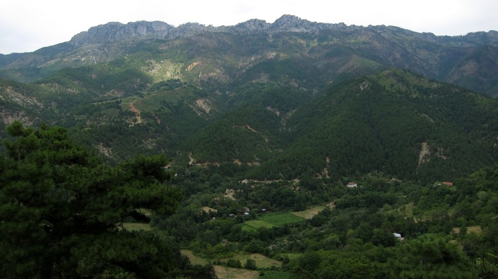
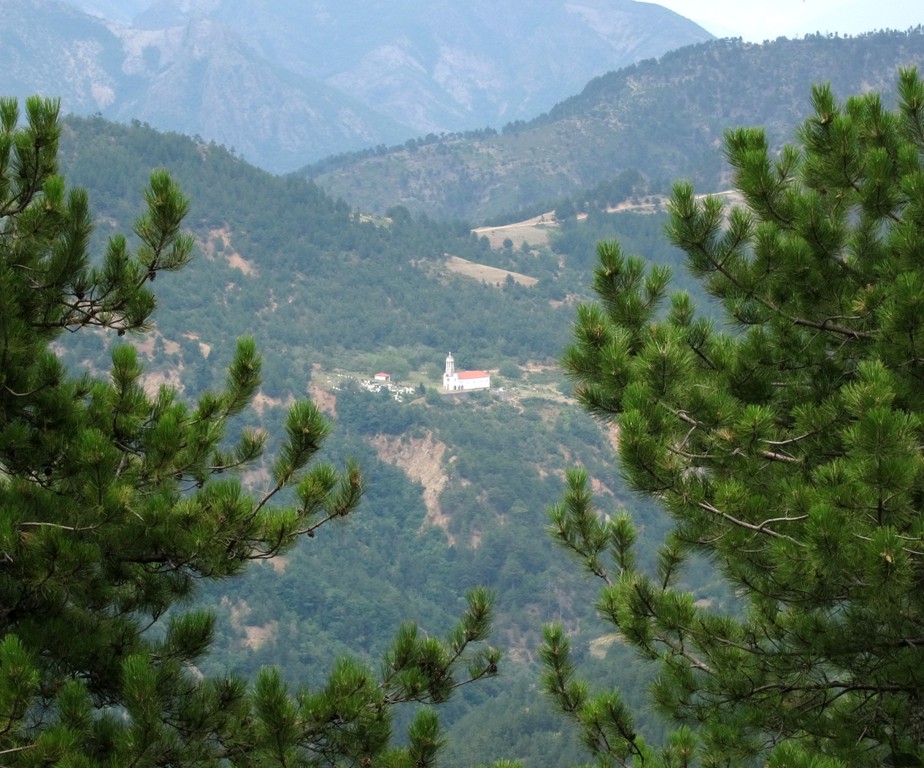
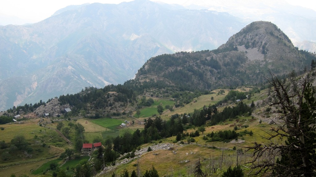
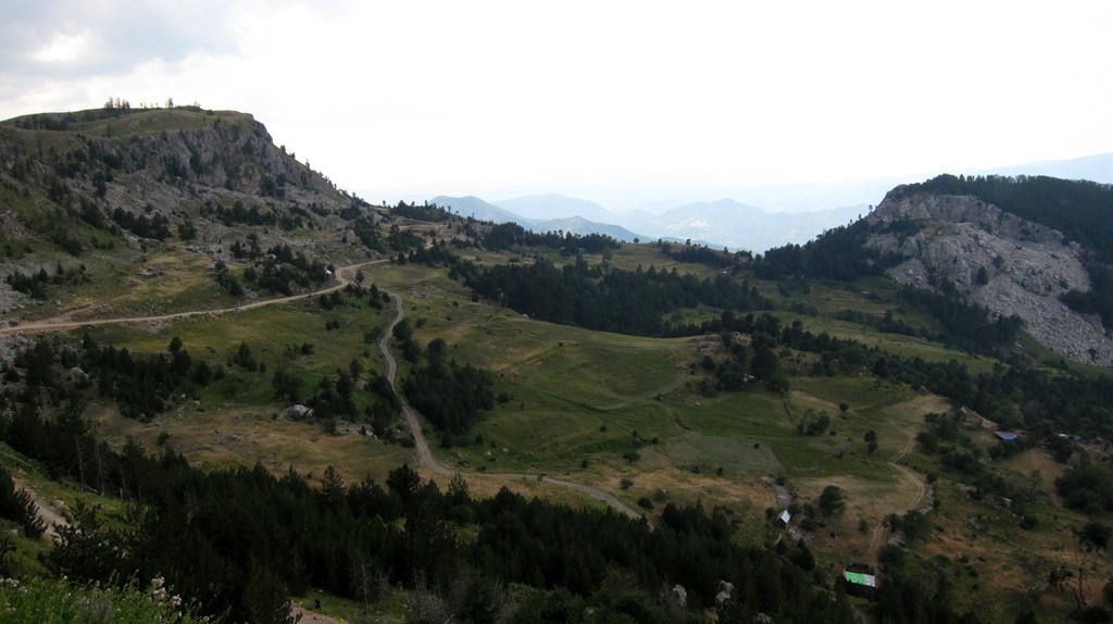
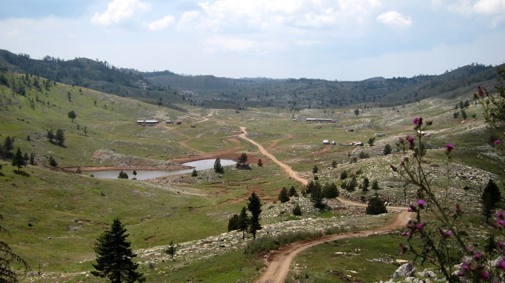
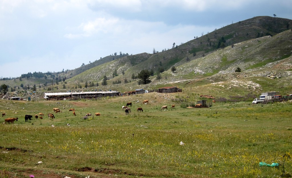
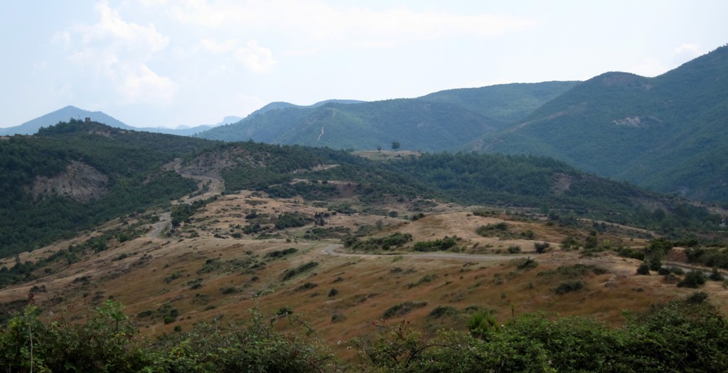
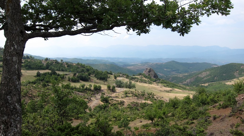
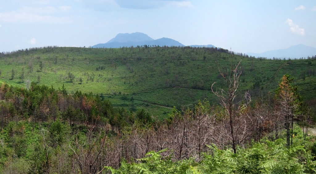
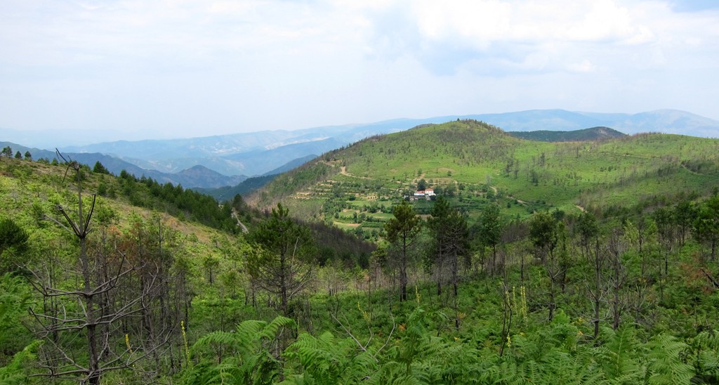
Lajthizë Plateau
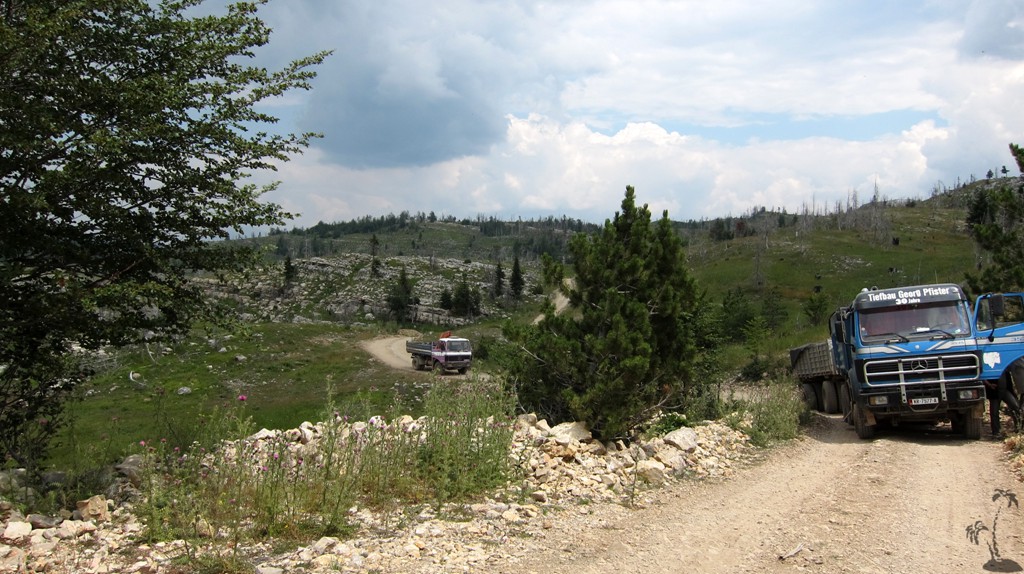
Summary: When we went to climb Guri i Nuses we selected the shortest drive up to the Lajthizë plateau, which is from Reps via Orosh, and took a shortcut road from the trailhead leading into valley near Klos or Fan center. Both roads are fairly difficult. We had little doubt that easier roads exist to the plateau, and we went to find out. Here you find both the easiest way, and the long way to the plateau.
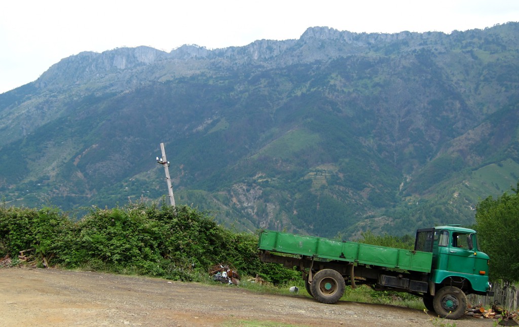
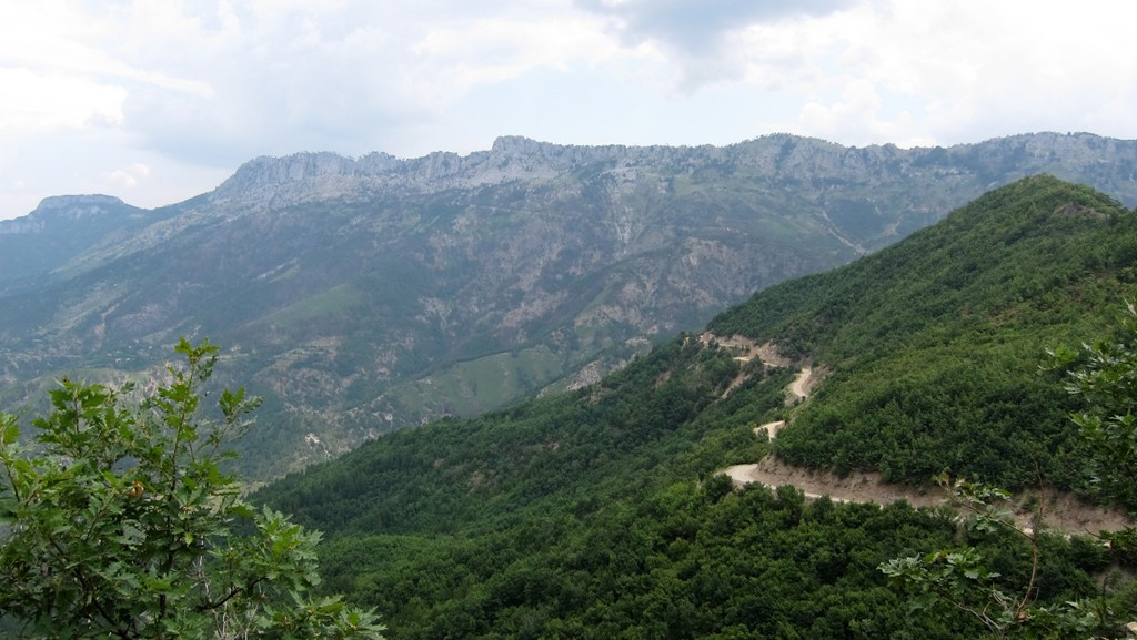
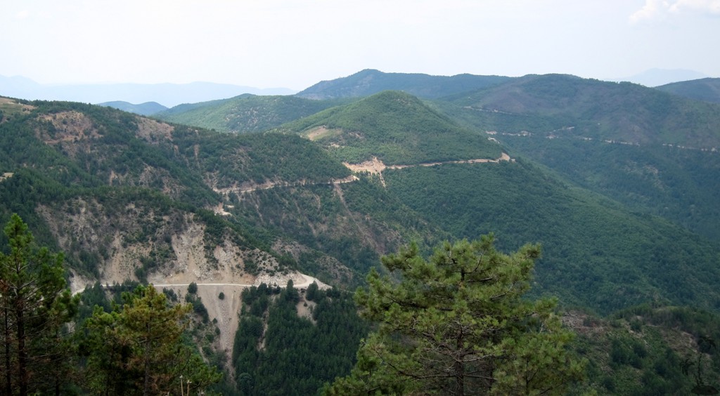
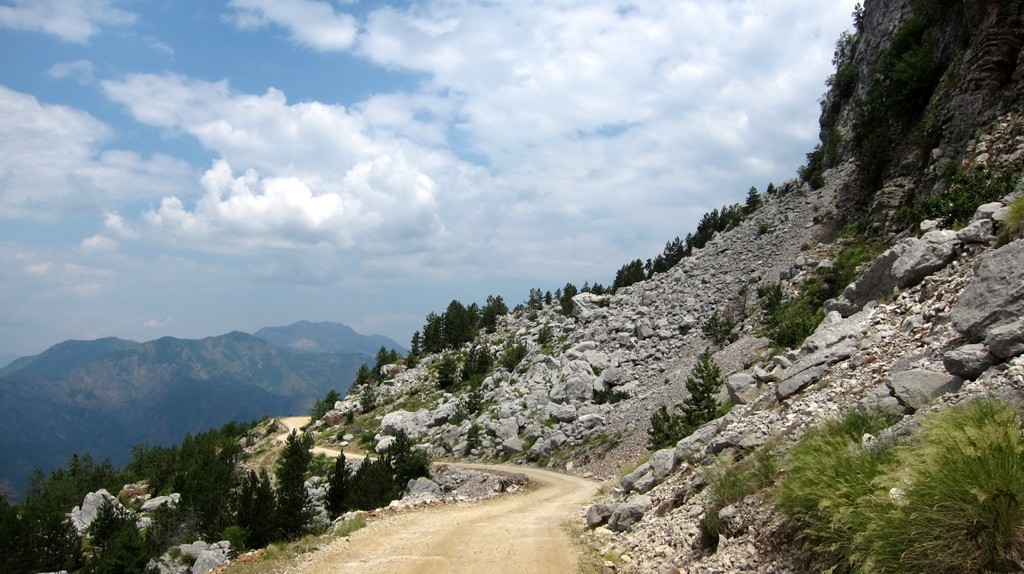
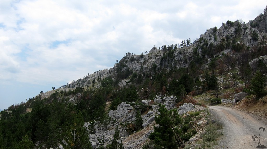
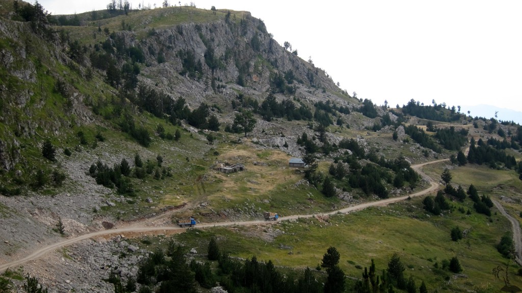
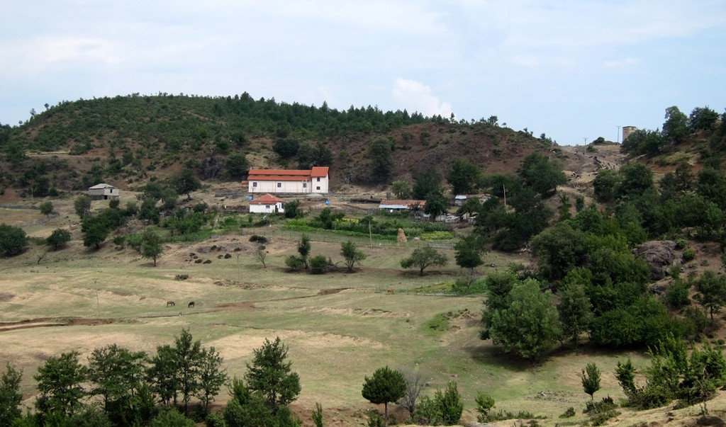
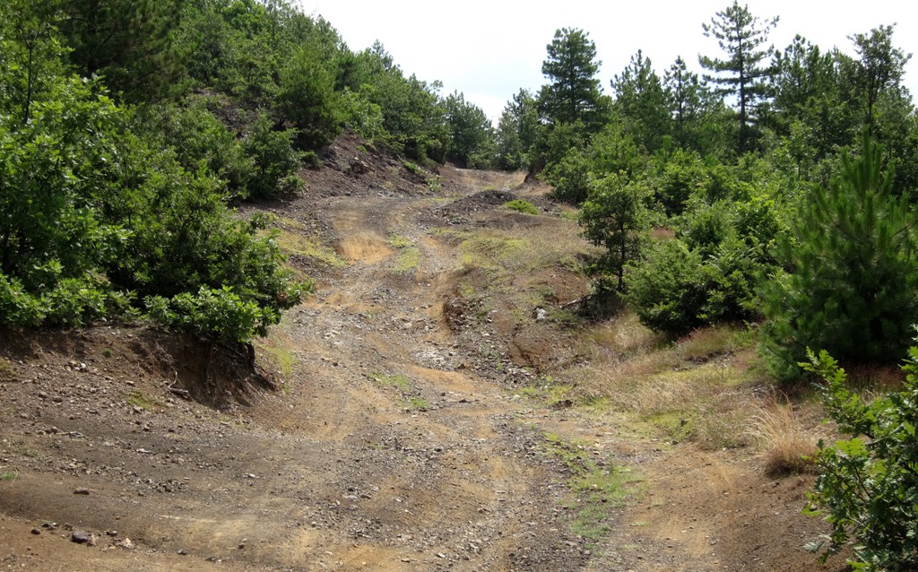
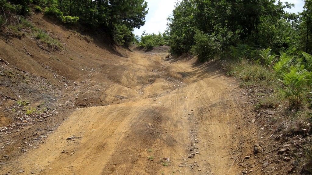
The Easy Drive: Start in Reps, into the direction of Orosh. At waypoint 02-trifork be sure to take the fork to the right. It takes you to the village of Bulshat and then Planetë, before climbing more seriously. The road has a low gradient, and is generally wide enough for two cars to pass. In theory, you may not need a 4WD, though it may come handy on the Lajthizë plateau itself.
| Maximum altitude: | 1364 meter |
| Minimum altitude: | 253 meter |
| Cumulative height: | 1321 meter |
| Cumulative length: | 29 kilometers |
| Difficulty | easy |
| Time: | 2.5 hours |
| Date of this record | July 2013 |
| Download GPS info: | The easy way to Lajthizë |
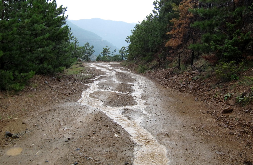
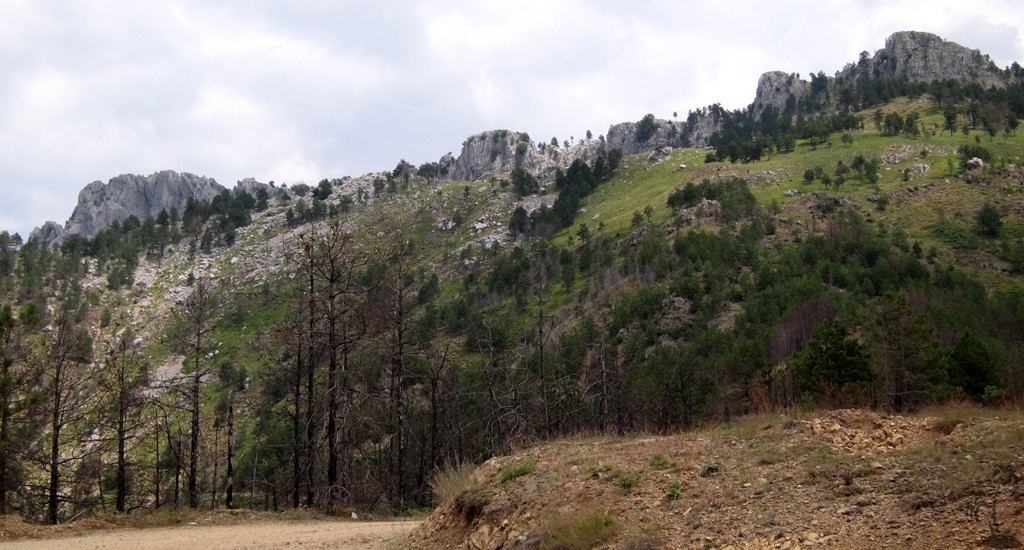
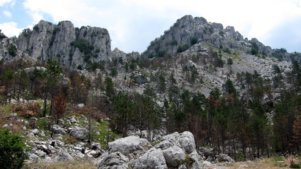
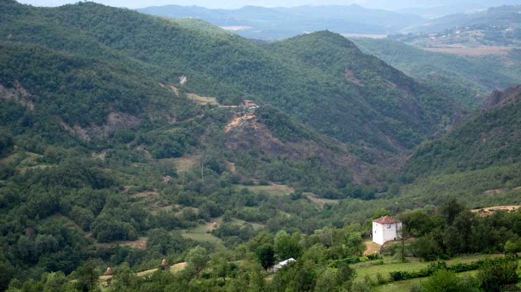
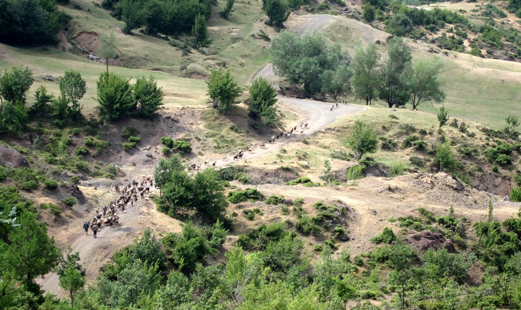
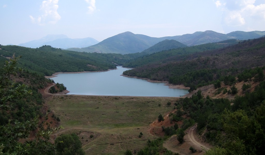
The Long Drive: The map and trail description is from Rreshen, via Malaj, until it meets the easy drive up to the Lajthize plateau. Note that this long drive is not easy, and that it takes time, and that it is rarely used as a through road. From Reshen to the junction with the easy road is about 20 kilometers, and another 20 kilometers to the Lajthizë. Unless you plan to stay the night on the plateau (bring your tent), this will make for a very scenic offroading experience that will take the best of the day.
| Maximum altitude: | 1020 meter to junction |
| Minimum altitude: | 114 meter |
| Cumulative height: | 987 meter |
| Cumulative length: | 22 kilometers to junction with the easy road |
| Difficulty | difficult |
| Time: | 2+ hours |
| Date of this record | July 2013 |
| Download GPS info: | The long way to Lajthize |
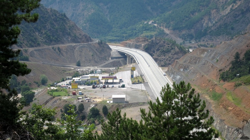
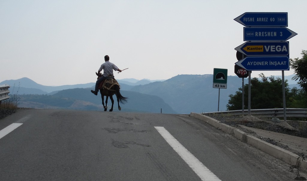
General location and approach: Rreshen and Reps are along the Tirana - Kukes highway.
Other Information: Of course you can combine any of thee drives described here with one fof the drives described under Guri i Nuses.
GPS and trailmaps: The map and
trailinformation is generated by
![]() , based
on GPS information collected from the actual hike. Waypoints
can be downloaded to a GPS device from Wikiloc. If necessary, use
GPSBabel to
convert GPS data to different formats. For more
hike descriptions by Palmtreetreeproduction, browse this
website or visit Wikiloc
and search for "Palmtreeproduction". You may also find
nearby trails from other authors.
, based
on GPS information collected from the actual hike. Waypoints
can be downloaded to a GPS device from Wikiloc. If necessary, use
GPSBabel to
convert GPS data to different formats. For more
hike descriptions by Palmtreetreeproduction, browse this
website or visit Wikiloc
and search for "Palmtreeproduction". You may also find
nearby trails from other authors.
Google Earth: You may also view the trail in 3D by clicking "view in Google Earth" when on Wikiloc. You need to have Google Earth installed on your computer.