PALM TREE PRODUCTIONS
back to Albania site back to hikes and climbs back to Locations and Travel
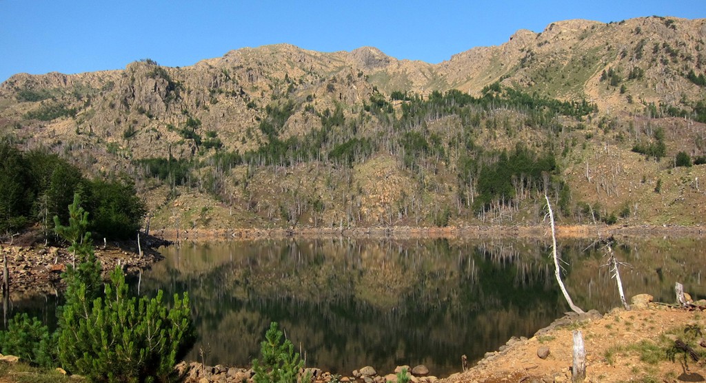
The Lure of Lura![]()
![]()
![]()
Summary: Everyone seems to have heard of the fabled Lure Lakes, but not many people seem to venture there. Lure villages is considered remote, the road to the Lure Lakes is rumoured to be impossible, nobody talks about climbing Maja e Kunora e Lurës (the "Crown of Lure"). The park is said to be destroyed by excessive logging, the hotel difficult to reach without any options for accomodation.
But the lure of Lura remains.
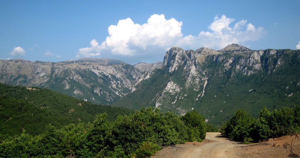
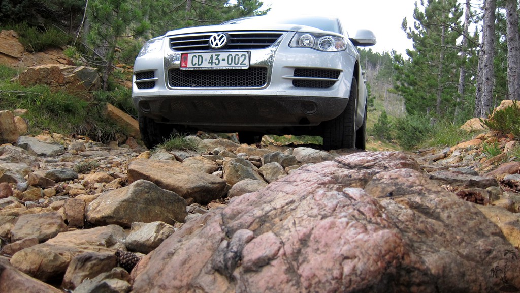
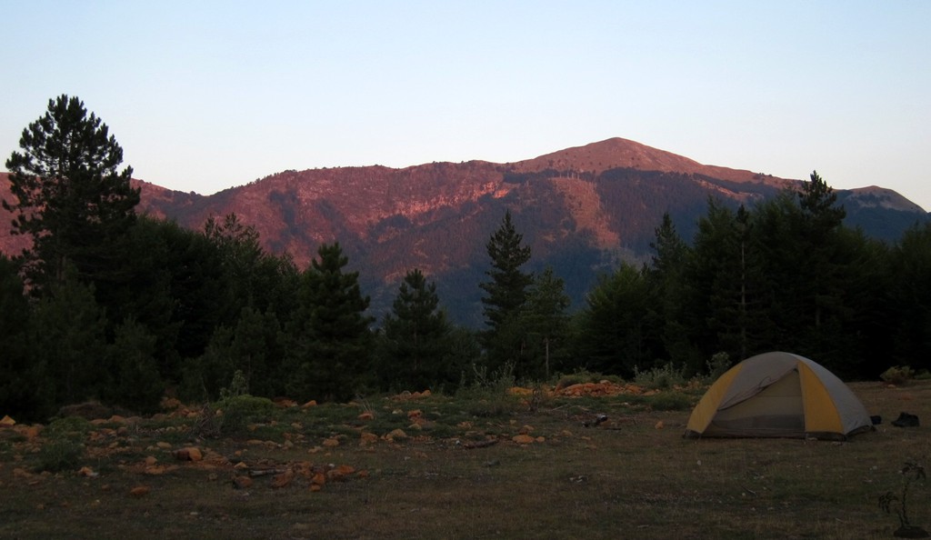
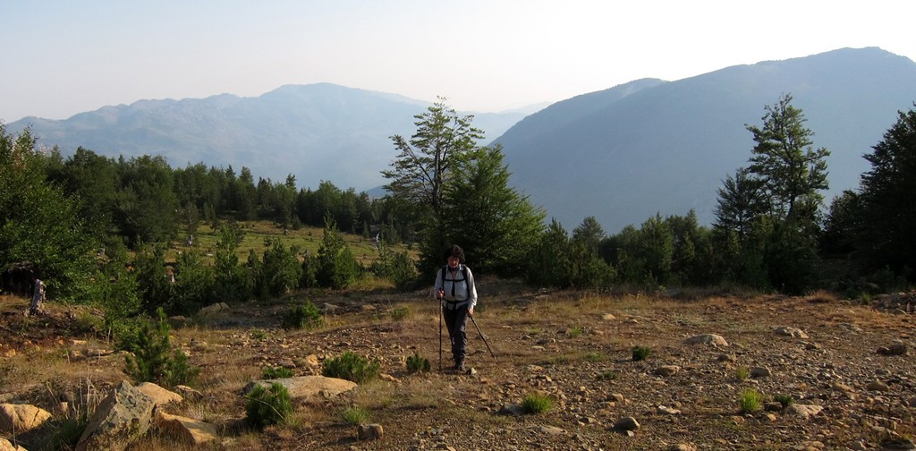
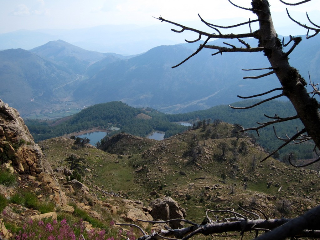
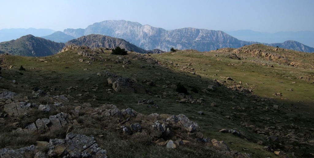
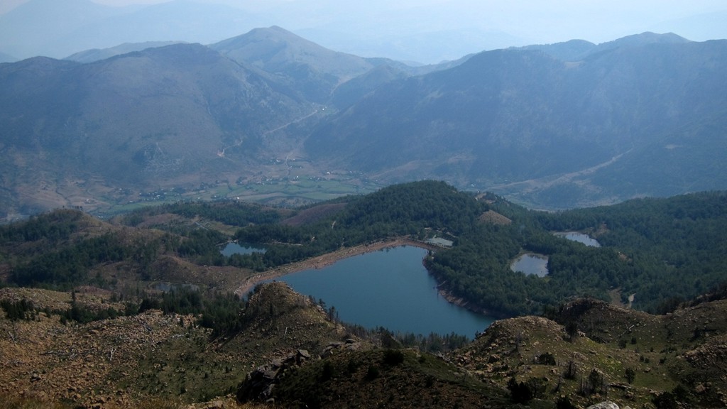
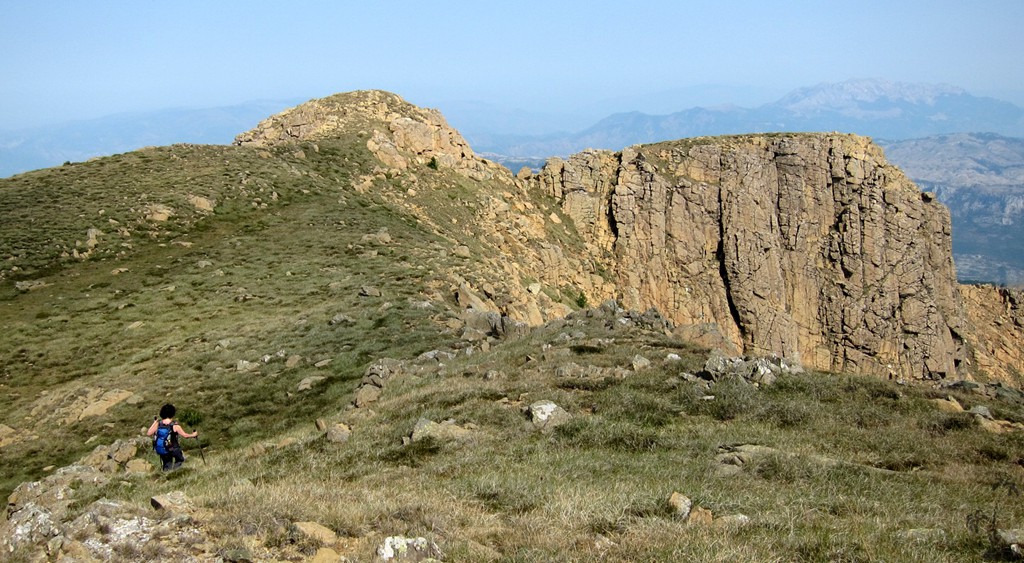
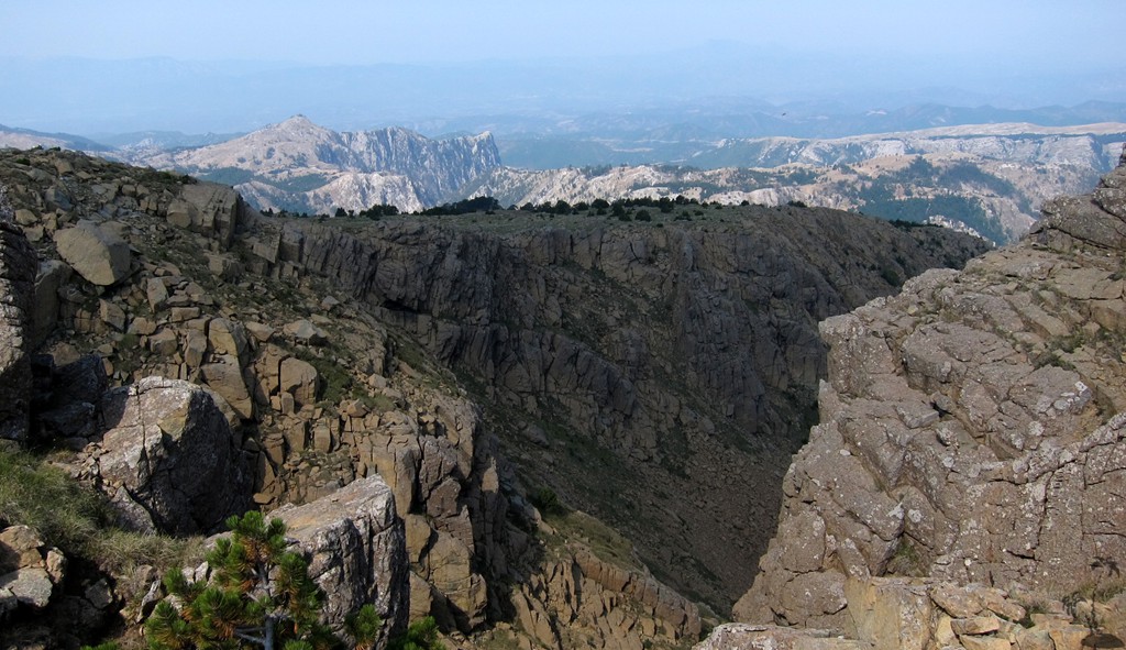
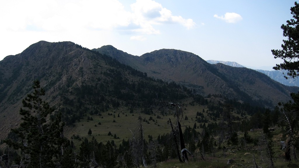
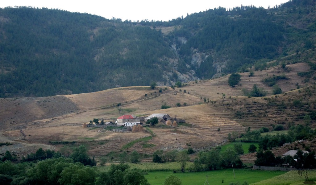
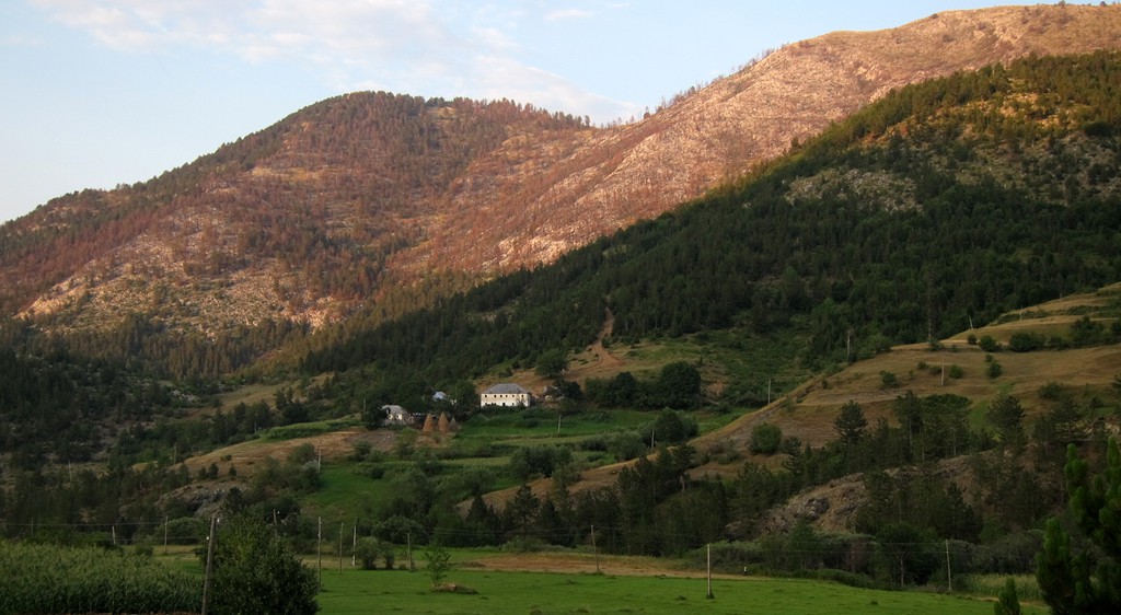
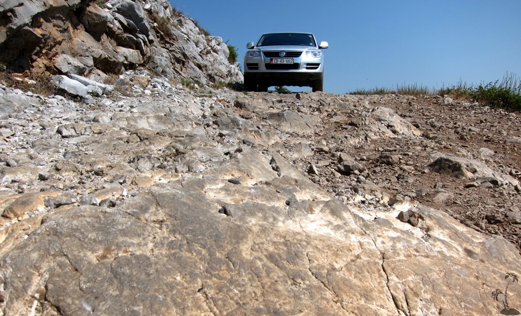
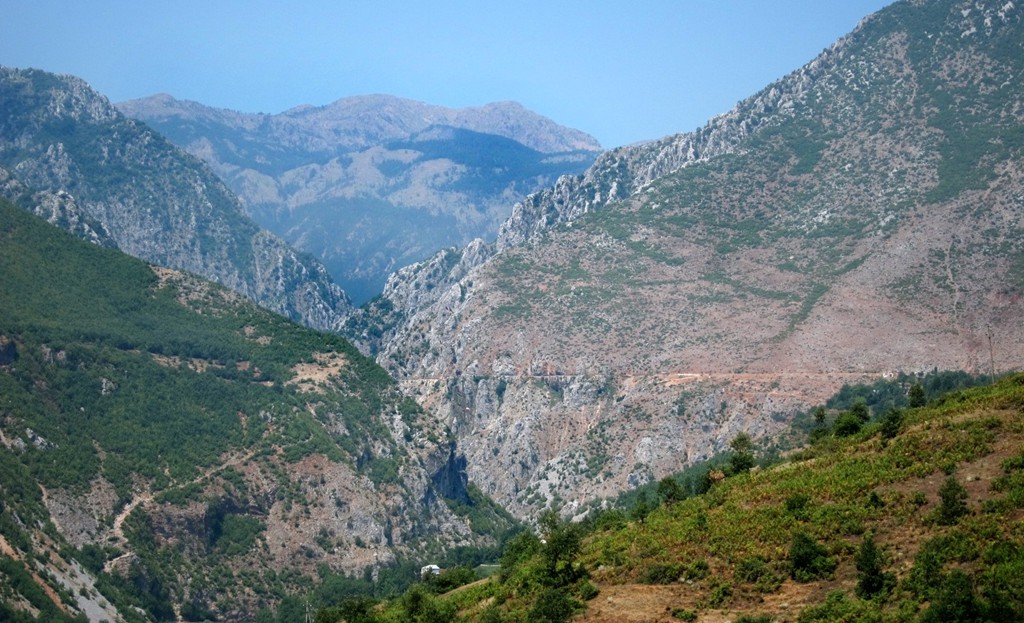
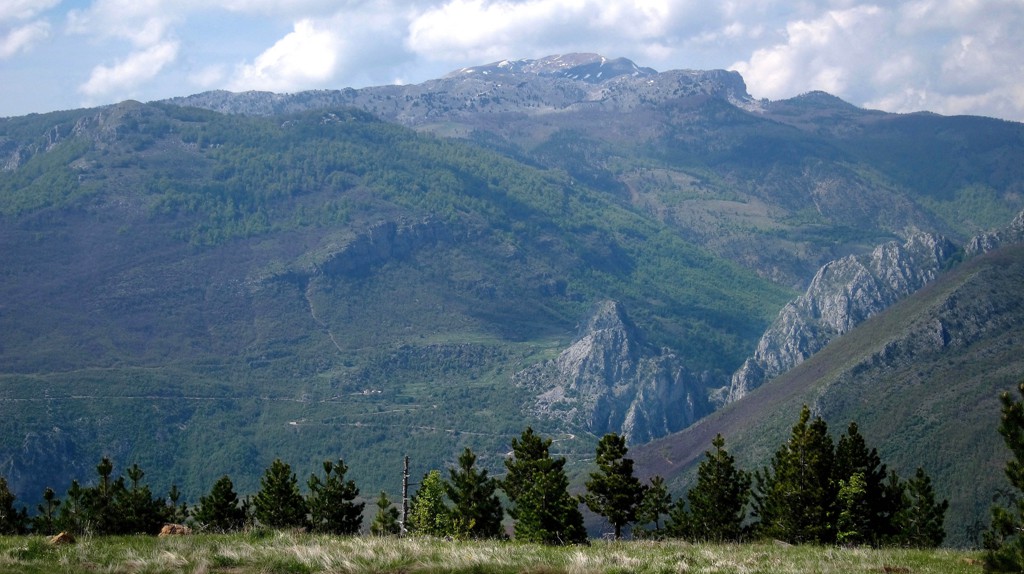
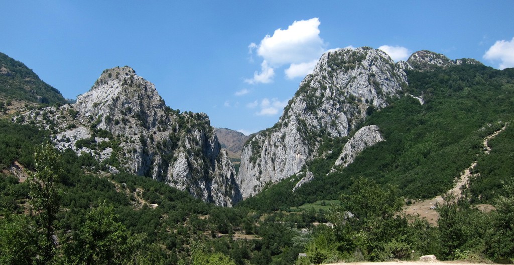
We wanted to climb the main summit of Lure Mountain, and combine it with some off-roading experience around the area.
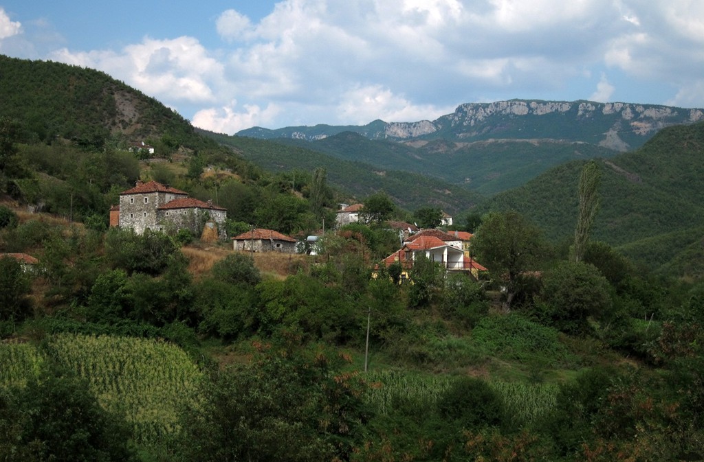
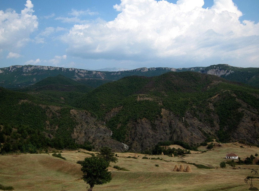
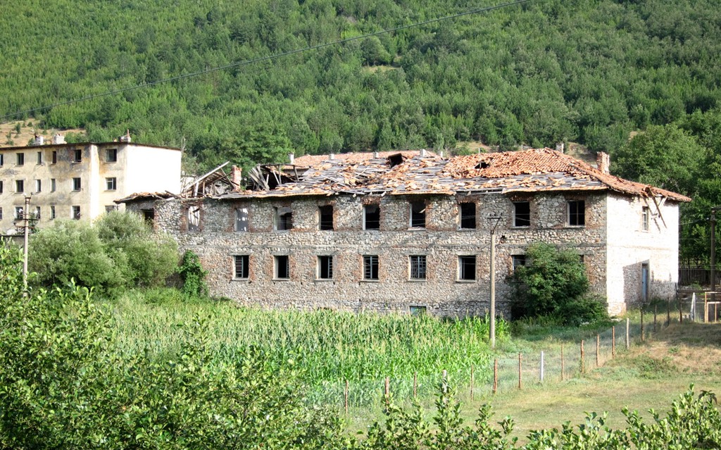
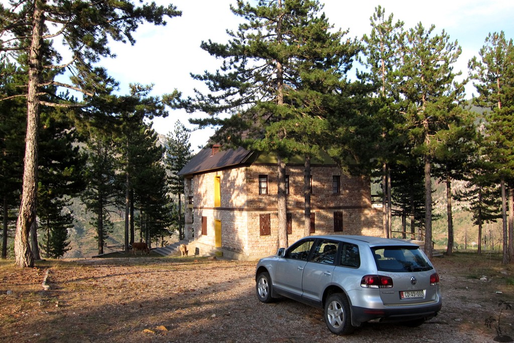
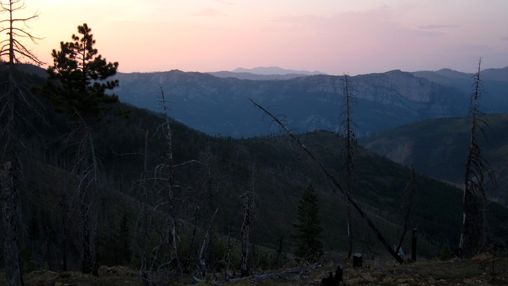
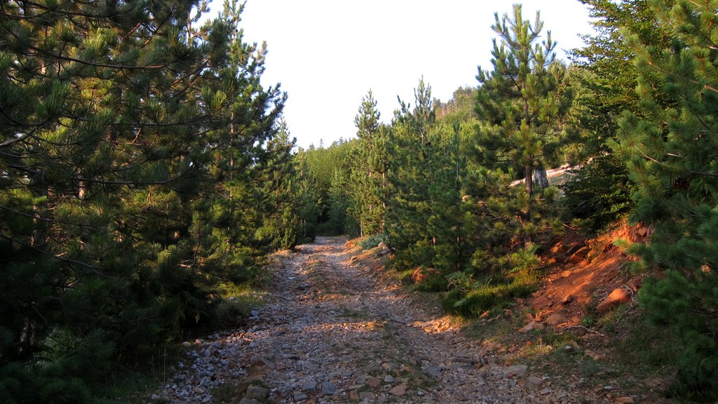
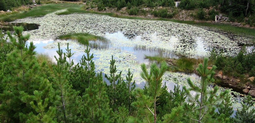
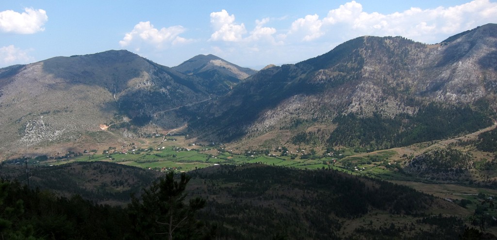
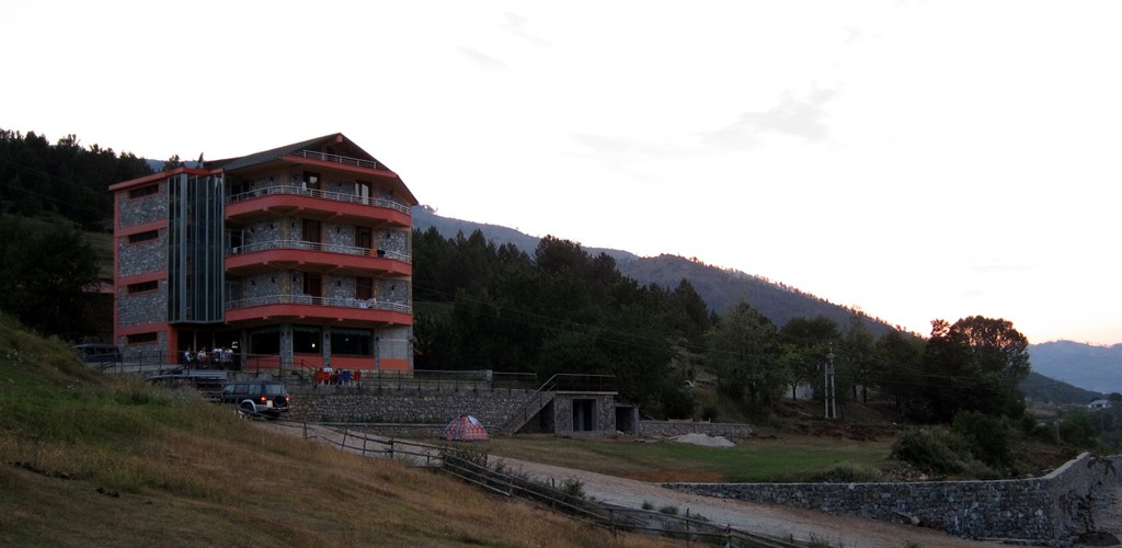
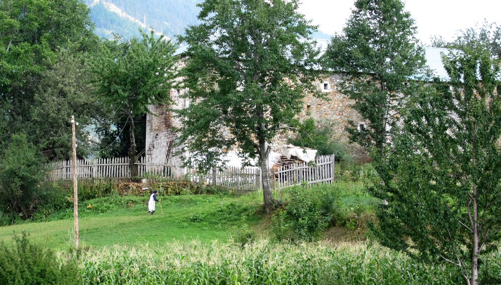
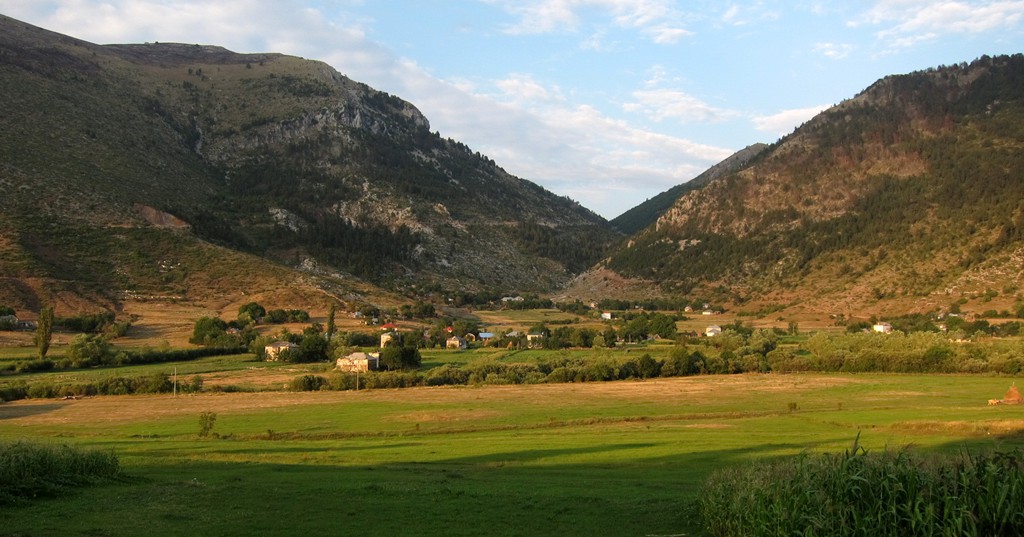
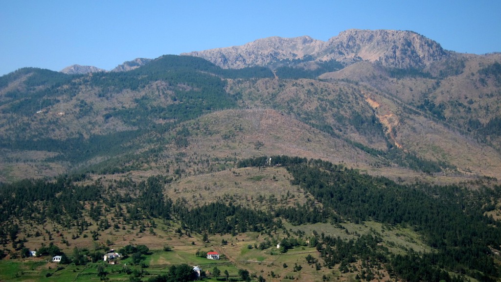
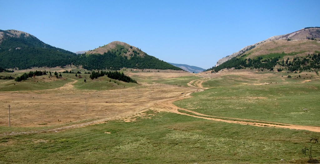
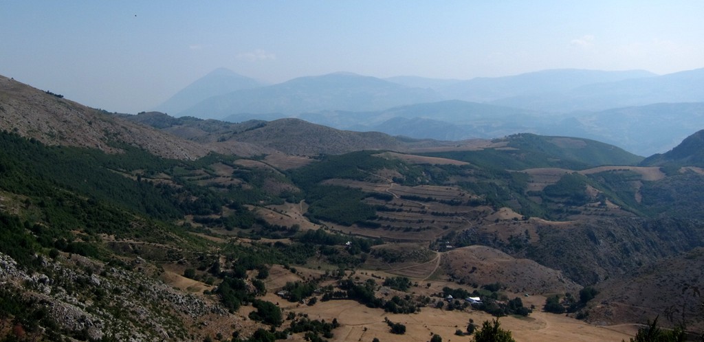
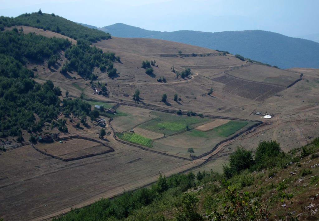
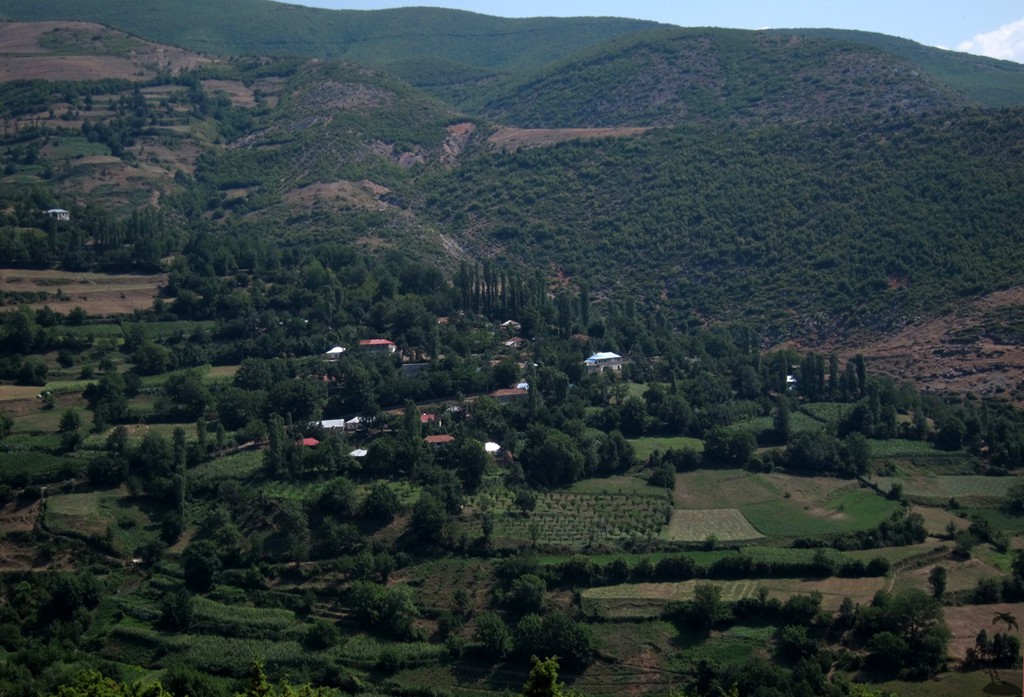
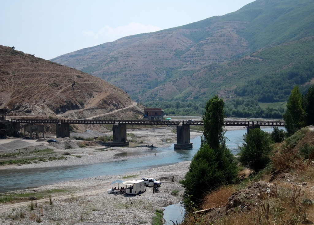
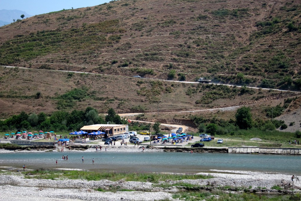
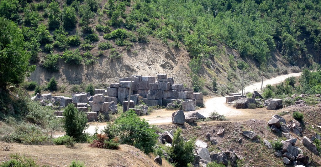
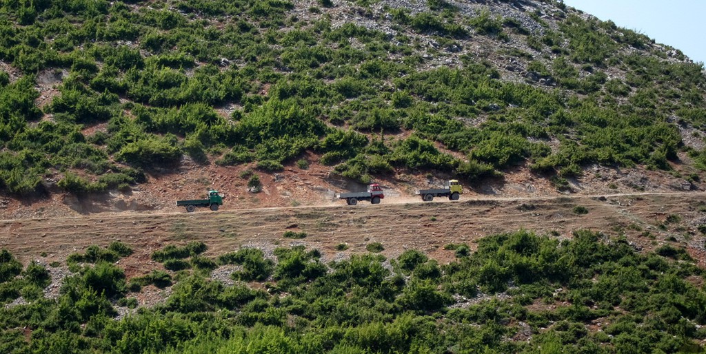
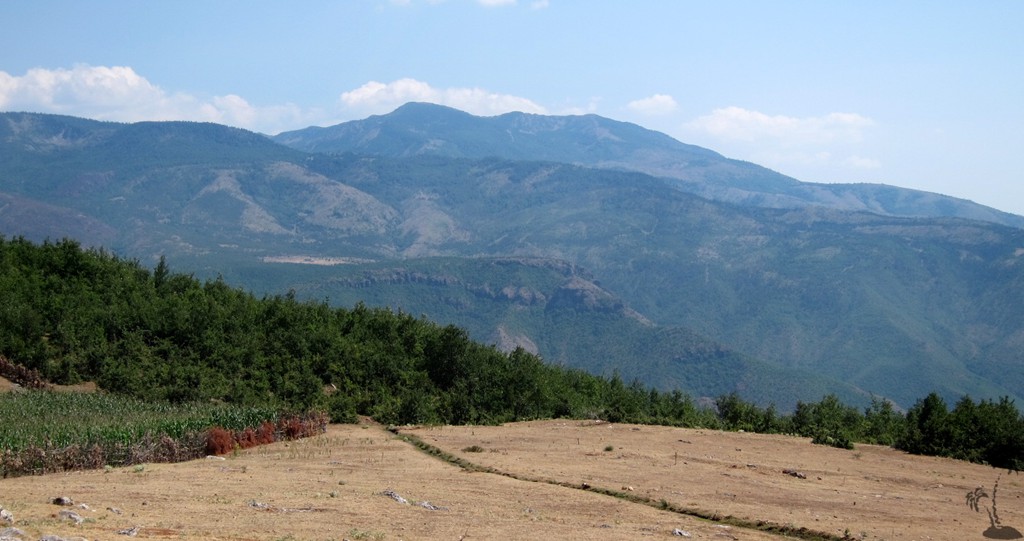
We approached Lure area from Rreshen, drove to Lure village and about half-way up to the Lakes. There we camped for an early start, to hike to the lakes and the Crown of Lure. For our return trip we choose the (more difficult) road from Lure village to Qafa e Lanës, the summer residence of Mënësh, and down to Çidhnë. From there, it is an easy drive to Arras and Fushë-Muhurr. From here, one could go on to Peshkopi, but we opted for the "Southern Lure Road". It leads from Fushë-Muhurr, through Selishtë, across Qafa e Murrës, to Lis, Burgajet and Burrel.
The Climb to the Crown of Lura: Note that we took the car up to the waypoint "camp", and made an early start in the morning from there to the lakes and the mountain. This reduces the walking distance to 14.2 kilometers, and about 6 hours.
| Maximum altitude: | 2120 meter |
| Minimum altitude: | 1072 meter |
| Cumulative height: | 1069 meter |
| Cumulative length: | 21.6 kilometer |
| Difficulty | moderate |
| Time: | 10 hours |
| Date of this record | August 2012 |
| Download GPS info: | The Crown of Lura |
The Drive from Rreshen to Lure Village:
| Maximum altitude: | 1132 meter |
| Minimum altitude: | 82 meter |
| Cumulative height: | 1499 meter |
| Cumulative length: | 53 kilometer |
| Difficulty | moderate |
| Time: | 3 hours up |
| Date of this record | August 2012 |
| Download GPS info: | Rreshen to Lure village |
The Drive from Lure to Fushë Muhurr:
| Maximum altitude: | 1384 meter |
| Minimum altitude: | 394 meter |
| Cumulative height: | 1141 meter (down) |
| Cumulative length: | 32 kilometer |
| Difficulty | difficult |
| Time: | 3 hours |
| Date of this record | August 2012 |
| Download GPS info: | From Lure to Fushe Muhurr |
The Drive from Fushë Muhurr across Qafa e Murrës to Burrel:
| Maximum altitude: | 1125 meter |
| Minimum altitude: | 191 meter |
| Cumulative height: | 1159 meter (down) |
| Cumulative length: | 52 kilometer |
| Difficulty | moderate |
| Time: | 3.5 hours |
| Date of this record | August 2012 |
| Download GPS info: | Qafa e Murrës |
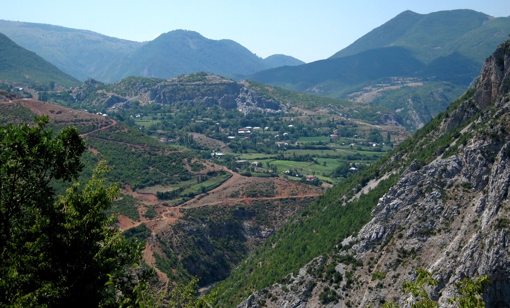
General location and approach: Centrally located, north of Tirana and Burrel.
Other Information: It is also possible to drive from Rreshen to Burrel (or vice versa). Combined with the trails above, this would make a complete tour around Mali i Dejes and the Lure area.
GPS and trailmaps: The map and trailinformation is generated by www.wikiloc.org, based on GPS information collected from the actual hike. Waypoints can be downloaded to a GPS device from Wikiloc. If necessary, use GPSBabel to convert GPS data to different formats. For more hike descriptions by Palmtreetreeproduction, browse this website or visit Wikiloc and search for "Palmtreeproduction". You may also find nearby trails from other authors.
Google Earth: You may also view the trail in 3D by viewing it directly in Google Earth. You need to have Google Earth installed on your computer. Activate "wikiloc"in the "Gallery" menu in Google earth.