PALM TREE PRODUCTIONS
back to Albania site back to hikes and climbs back to Locations and Travel
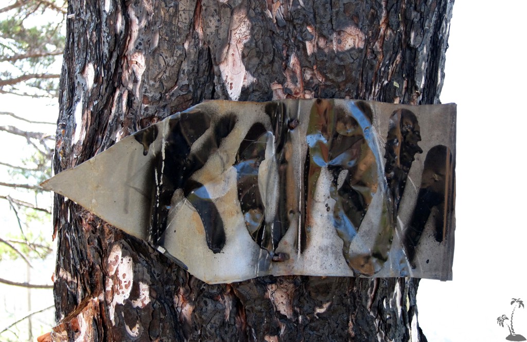
Mali i Komjanit![]()
![]()
Summary: We were heading into the Gramsh - Grabove area, waiting what the weather would be like. As one year before, while the rest of Albania was nearing a heat stroke, Gramsh experienced major thunderstorms, rendering some of the more difficult access roads impassable.
We therefore had to reorganize, and decided to hike Mali i Komjanit.
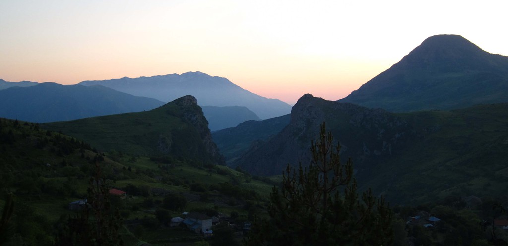
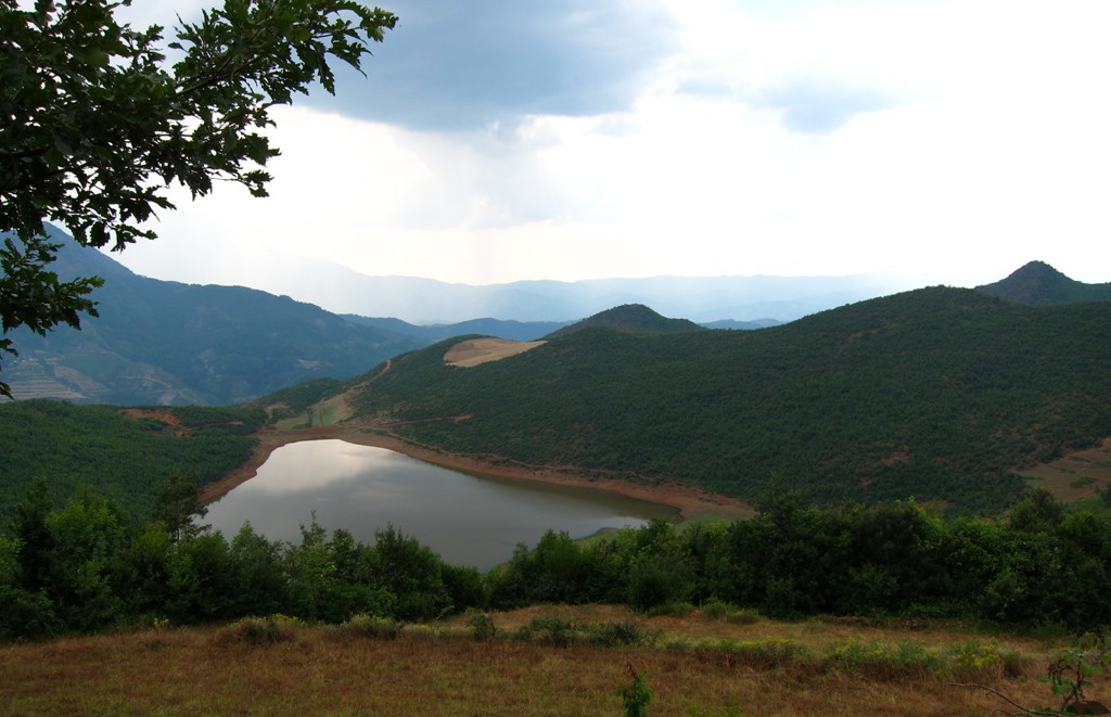
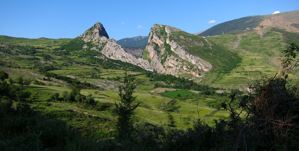
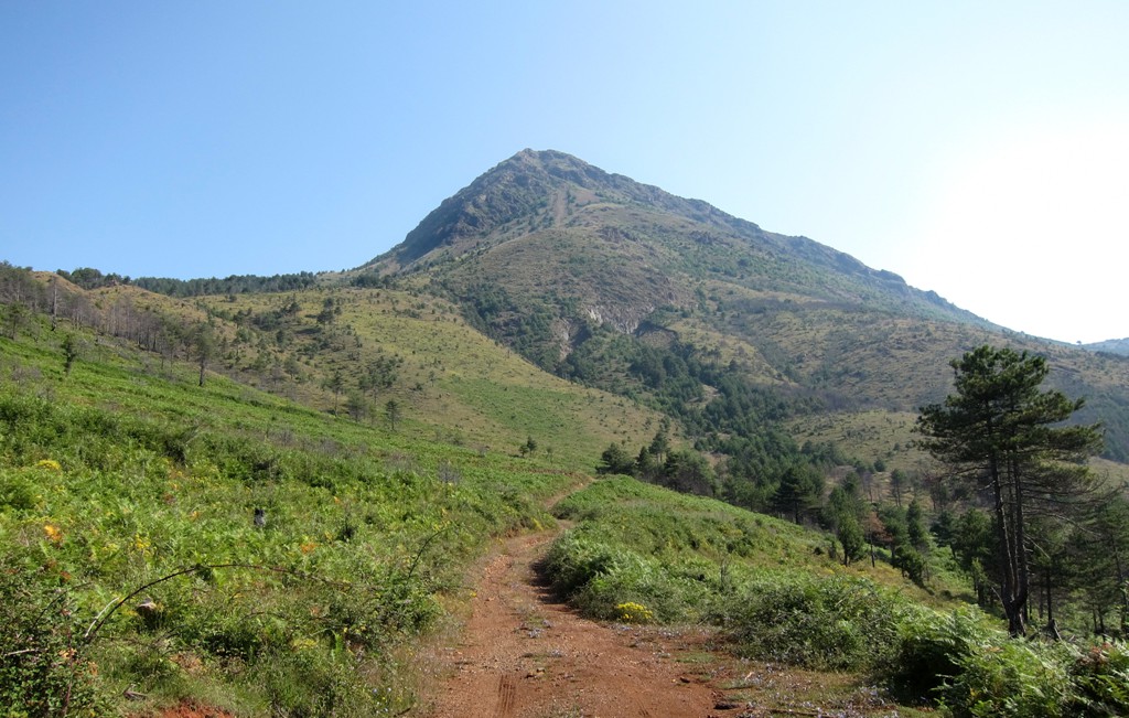
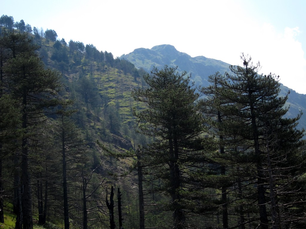
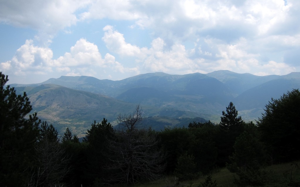
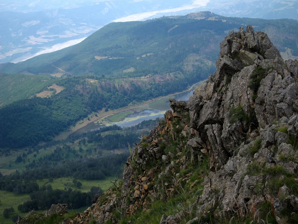
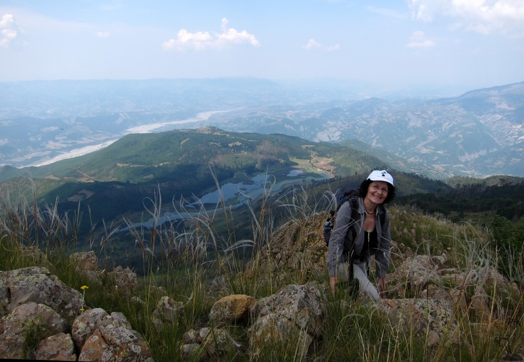
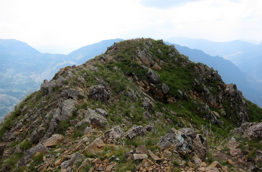
Mali i Komjanit is, with about 1790 Meter altitude, not particularly high compared to its neighbors Valamares or - across the Devoll River valley - Tomorri mountain. But Mali i Komjanit stands out and manages to dominate, together with the hugely scenic Split Rock, the Grabove/Lenie area. On top of this, Komjanit offers very interesting hiking and because its somewhat central location, offers great views of the area. Another gem in this area is Lake Dushkut, usually well hidden from view.
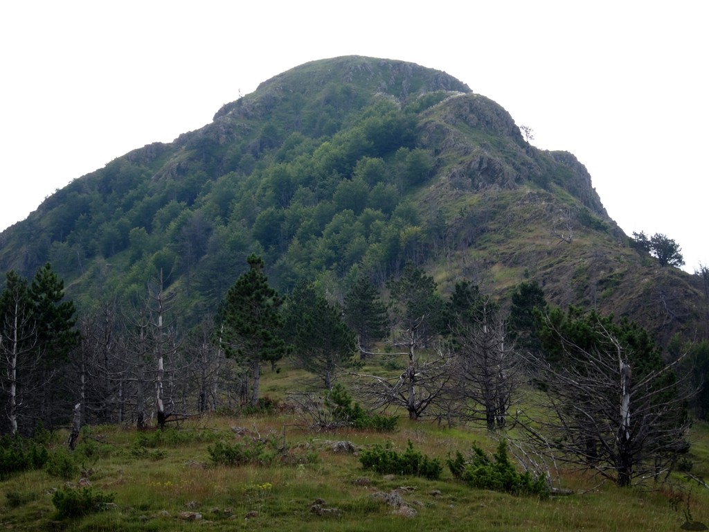
Komjanit is a little deceiving, as a hike to its summit appears to be easier than it actually is. The summit is surprisingly rocky, with steep grassy patches and seemingly botttomless drops. Still, there is a faint trail for most of the hike, but be prepared for some airy scramble near the summit.
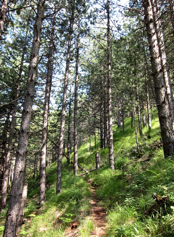
The Hike: The hike starts at Teqe Dushkut. The shrine that can be reached from the Gramsh-Grabove road by turning onto a little used dirt road, which is in remarkably good condition. From the Teqe, follow the road for a few hundred meter, until it transforms itself into a footpath. Pass under Komjanit mountain and head towards a clearing on the gentle north ridge of Komjanit. Then turn around and follow the ridge, through light forest towards the summit rocks. Where the rocks begin, the summit is still 100 Meter above you, which you reach with some light but sometimes exposed scrambling.
| Maximum altitude: | 1790 meter |
| Minimum altitude: | 1234 meter |
| Cumulative height: | 571 meter |
| Cumulative length: | 4 kilometers |
| Difficulty | difficult |
| Time: | 2.5 hours |
| Date of this record | July 2013 |
| Download GPS info: | Mali i Komjanit |
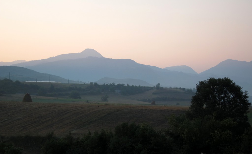
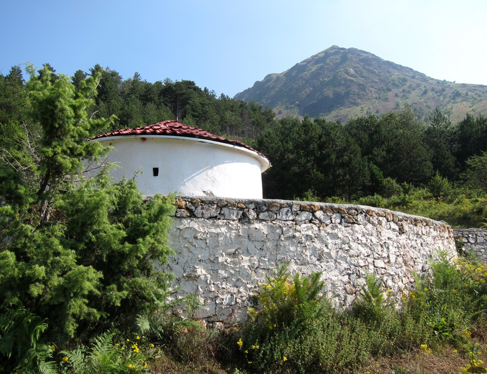
The Drive: The trail's coordinates start at the end of the asphalt road south of Gramsh. Continue on the road to Korca for a few hundred meters, then turn left at the signposts for Lenie and Grabove. The road is in reasonable condition (as of July 2013). At waypoint 04, a short excursion takes you to Teqe Dushkut. Even if you don't intend to hike Mali i Komjanit, the Teqe is a quick and worthwhile sidetrip. If you continue beyond the Teqe for a few hundred meters, you will get a view of Lake Dushkut below.
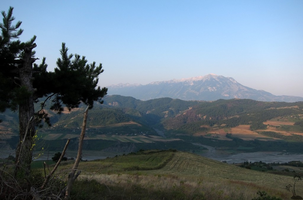
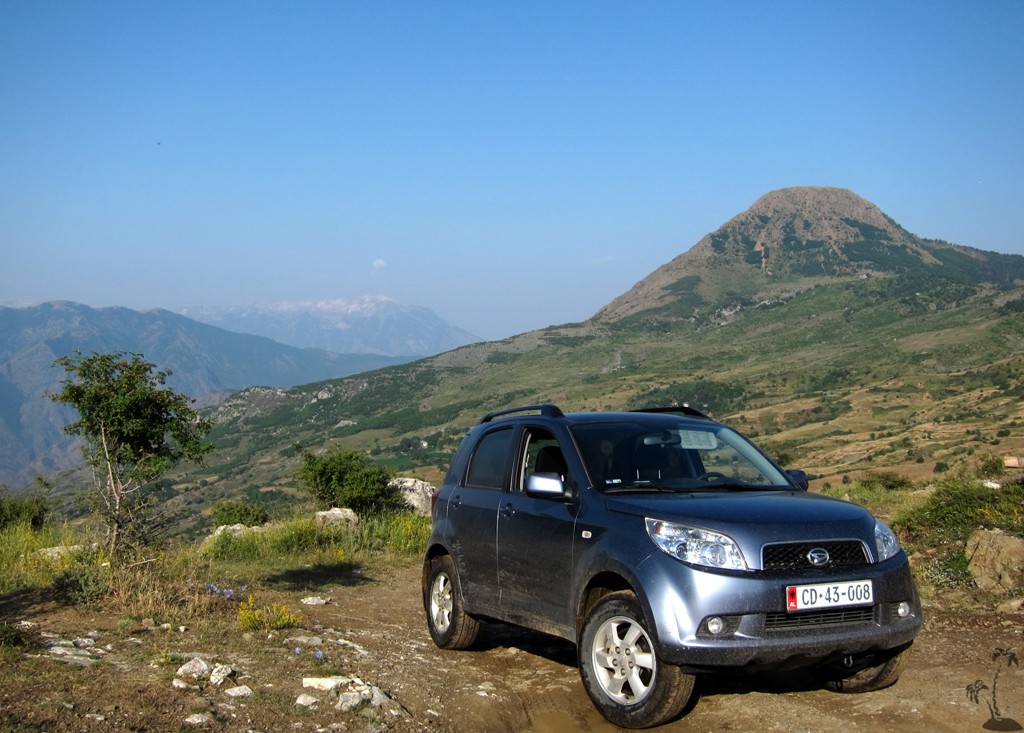
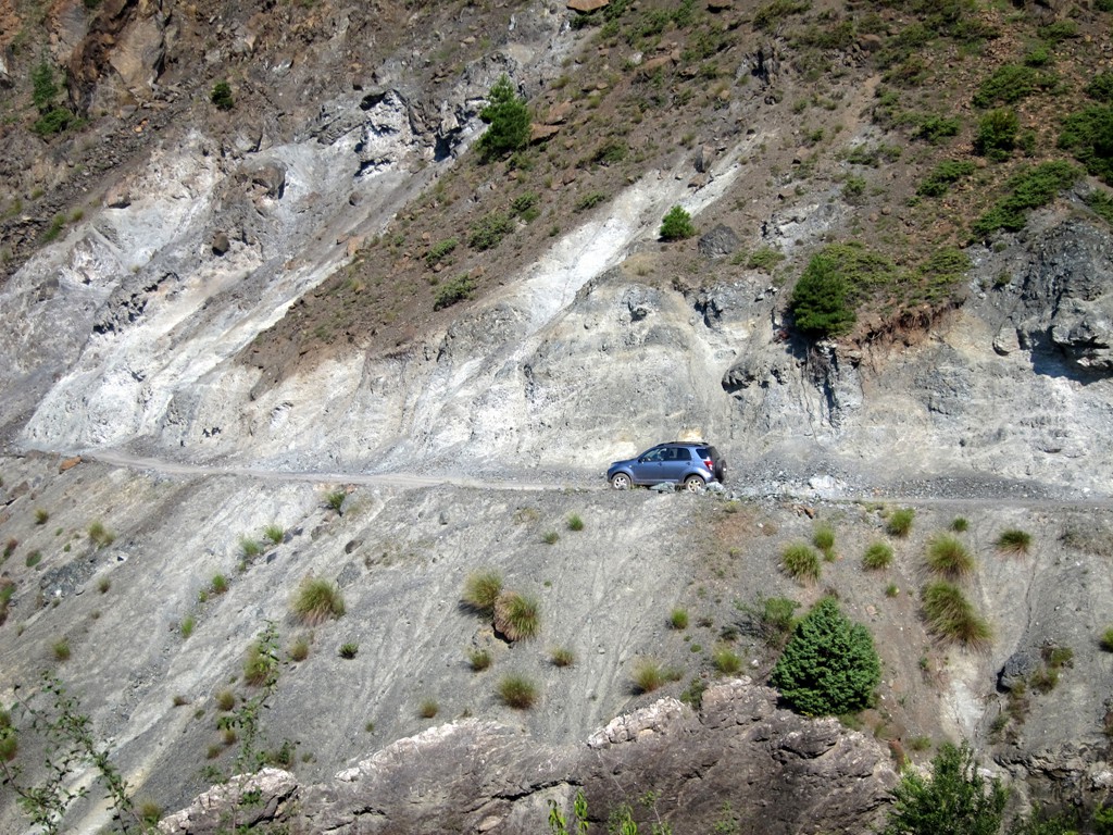
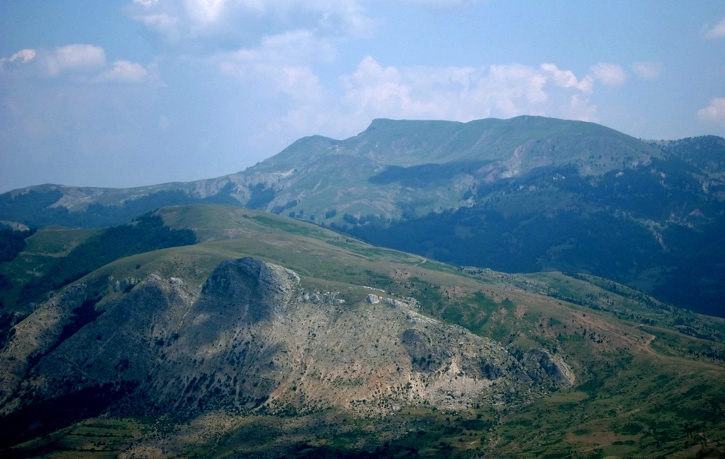
Continuing from waypoint 04 on the road to Grabove, the left fork at waypoint 06 takes you to Grabove siperme (upper Grabove) and the Split Rock. The right fork would take you to Grabove poshte (lower Grabove). The road to upper Grabove rapidly deteriorates, and requires a vehicle with good ground clearance. Even then, the road may not be possible when very wet. Soon the Split Rock comes in view. Our trail continues up to an altitude of 1300 Meter, near the Split Rock, which you can explore with caution. The road then continues to Grabove Siperme, which has a little hotel near the trailhead to Valamares mountain (see hike to Valamares summit).
The drive to Teqe Dushkut and waypoint 06 (the fork to Grabove poshte and Grabove siperme) is easy. The road from waypoint 06 to the Split Rock and on to Grabove siperme is difficult.
| Maximum altitude: | 1318 meter |
| Minimum altitude: | 271 meter |
| Cumulative height: | 1489 meter |
| Cumulative length: | 26 kilometers |
| Difficulty | moderate |
| Time: | 2 hours |
| Date of this record | July 2013 |
| Download GPS info: | Split Rock and Teqe Dushkut |
General location and approach: South of Gramsh - turning off the Gramsh-Korca road near the village of Bulçar.
Other Information: Most parts of Albania are very beautiful, but this part remains one of our favorite areas.

GPS and trailmaps: The map and
trailinformation is generated by
![]() , based
on GPS information collected from the actual hike. Waypoints
can be downloaded to a GPS device from Wikiloc. If necessary, use
GPSBabel to
convert GPS data to different formats. For more
hike descriptions by Palmtreetreeproduction, browse this
website or visit Wikiloc
and search for "Palmtreeproduction". You may also find
nearby trails from other authors.
, based
on GPS information collected from the actual hike. Waypoints
can be downloaded to a GPS device from Wikiloc. If necessary, use
GPSBabel to
convert GPS data to different formats. For more
hike descriptions by Palmtreetreeproduction, browse this
website or visit Wikiloc
and search for "Palmtreeproduction". You may also find
nearby trails from other authors.
Google Earth: You may also view the trail in 3D by clicking "view in Google Earth" when on Wikiloc. You need to have Google Earth installed on your computer.