PALM TREE PRODUCTIONS
back to Albania site back to hikes and climbs back to Locations and Travel
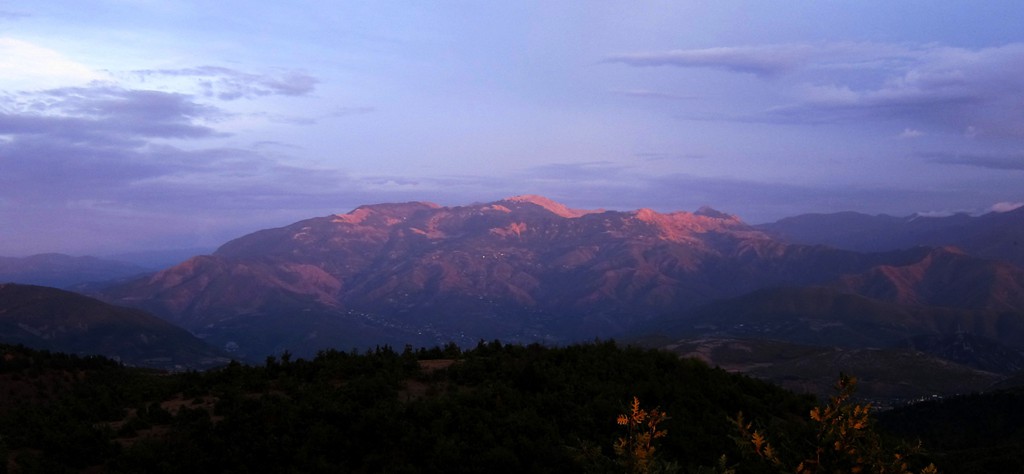
Mali i Polisit![]()
![]()
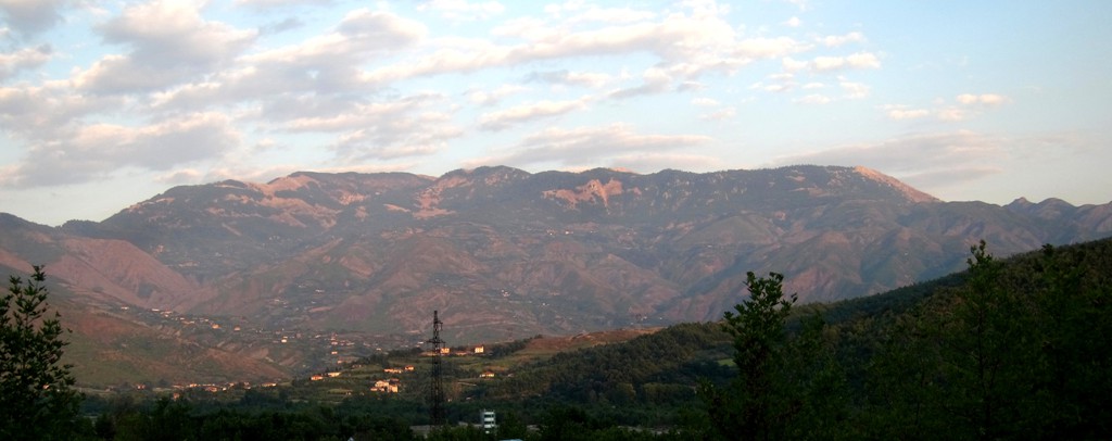
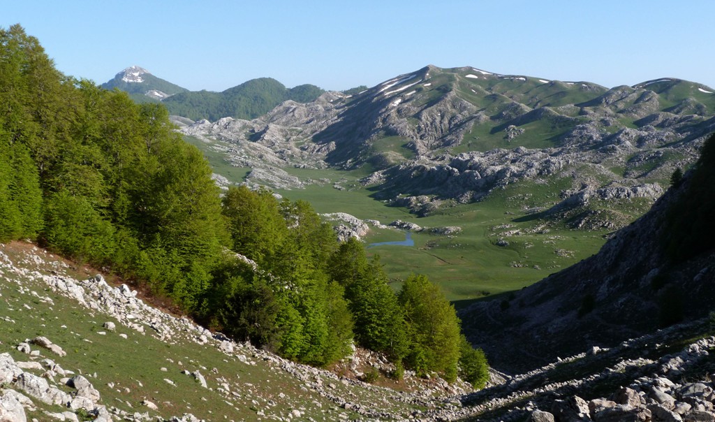
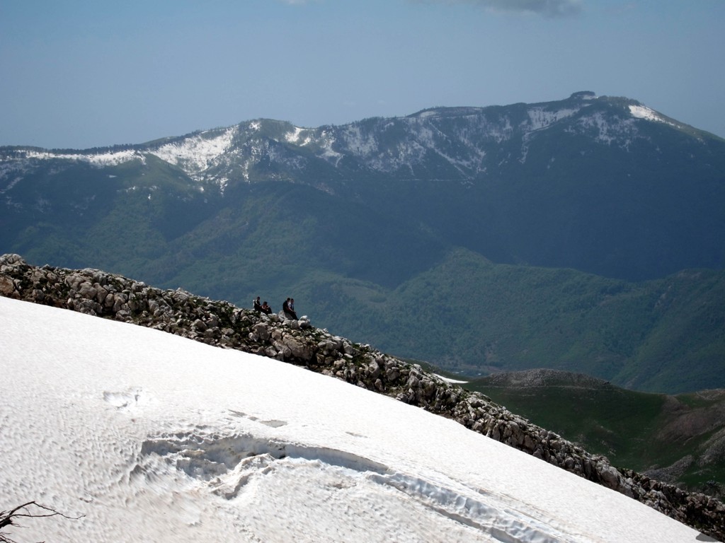
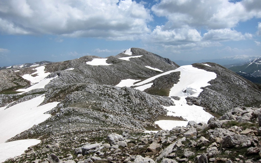
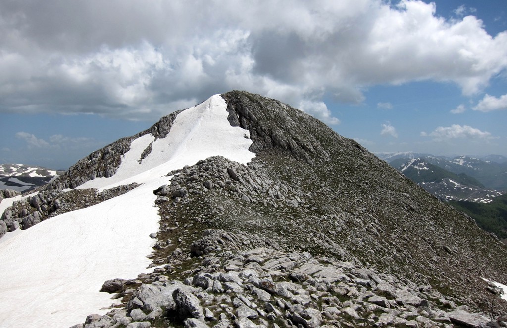
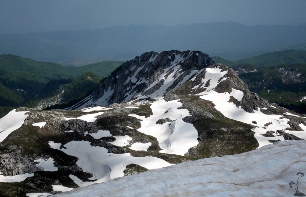
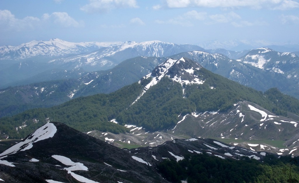
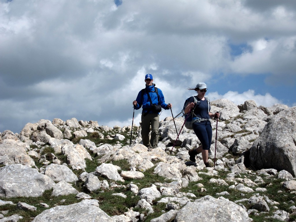
Summary: Mali i Polisit, for all its bulk, is a rather inconspicious mountain. For once, many people will not even notice that it is there, as it consists mainly of a high, seemingly flat plateau. Those driving from Elbasan to Librazhd through the Shkumbin valley only see its lowest slopes. Mali i Polisit doesn't have a "stand-out summit", though its highest point is unmistaken once you made it to the plateau.
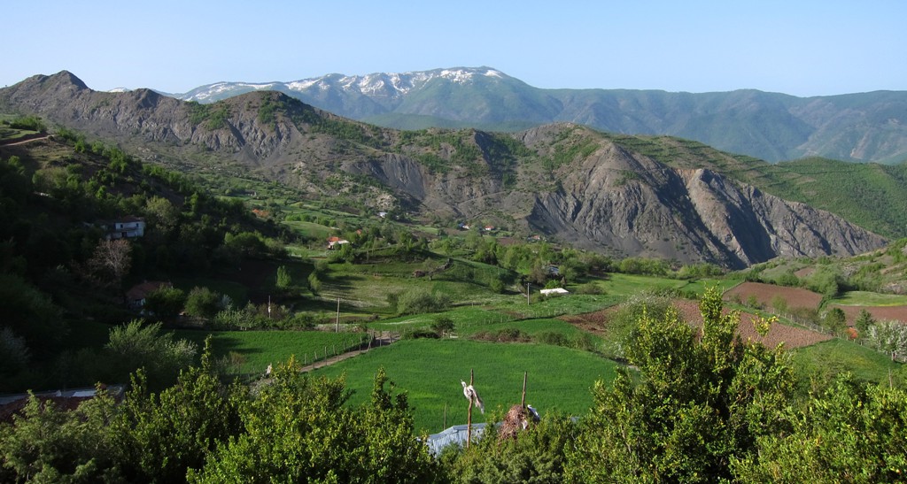
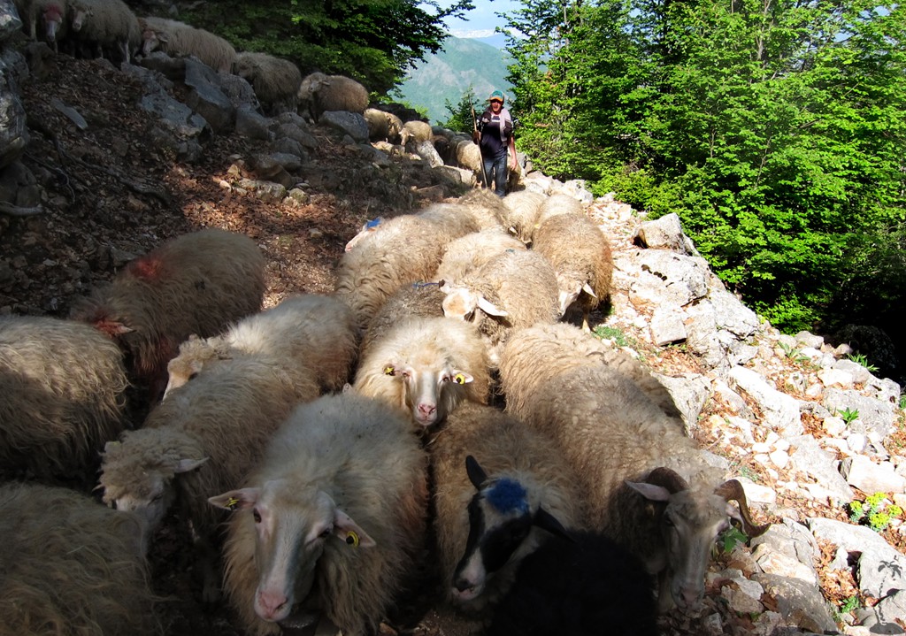
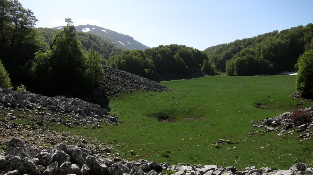
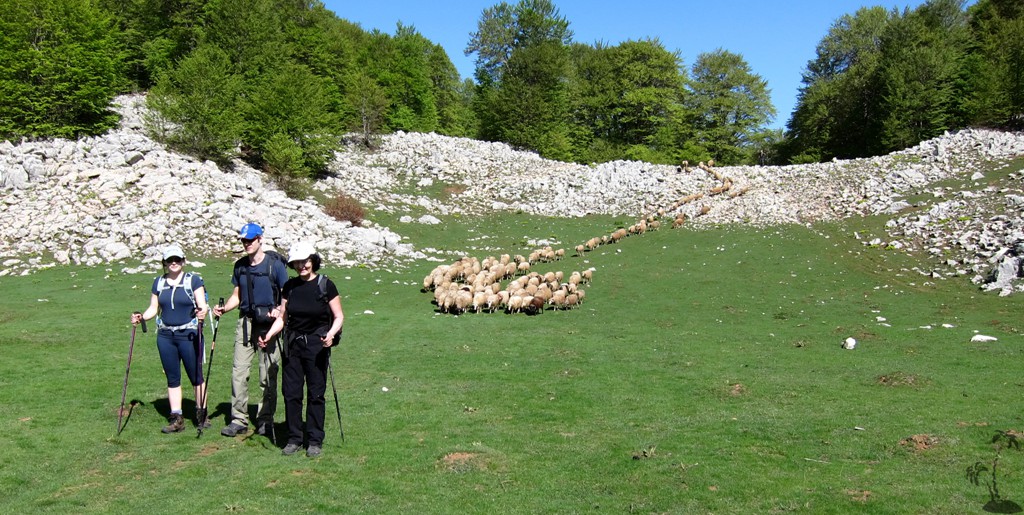
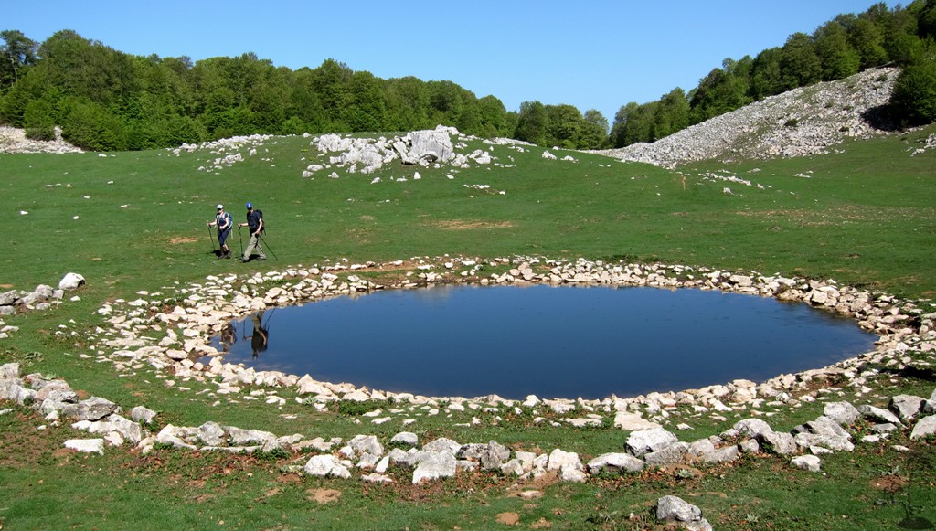
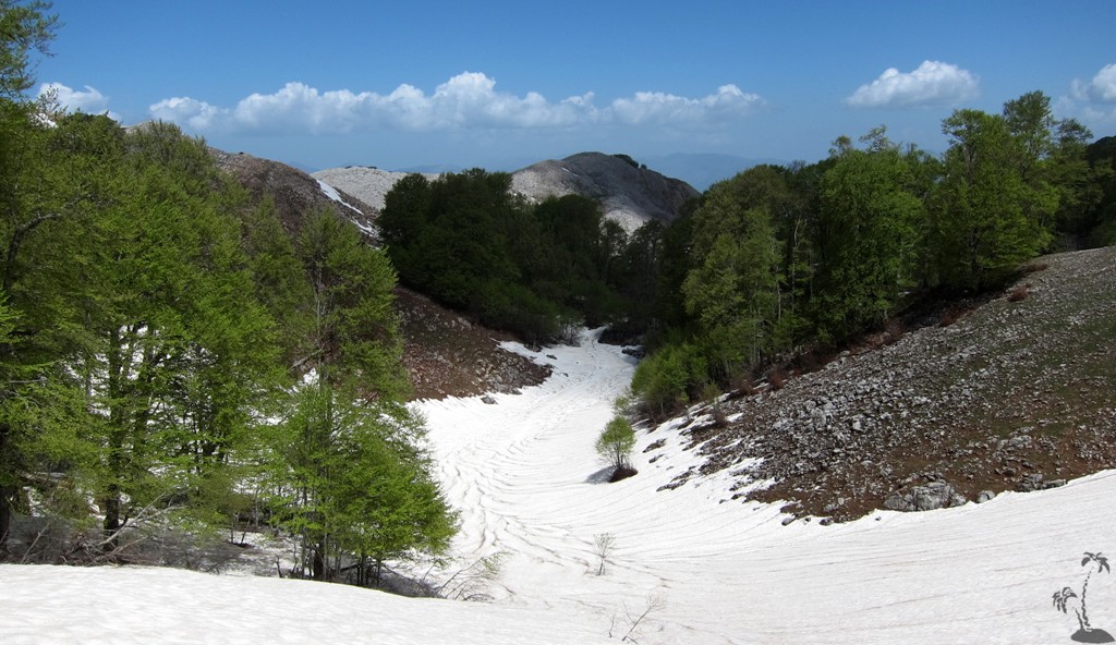
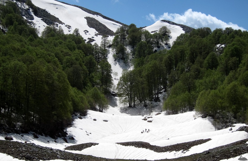
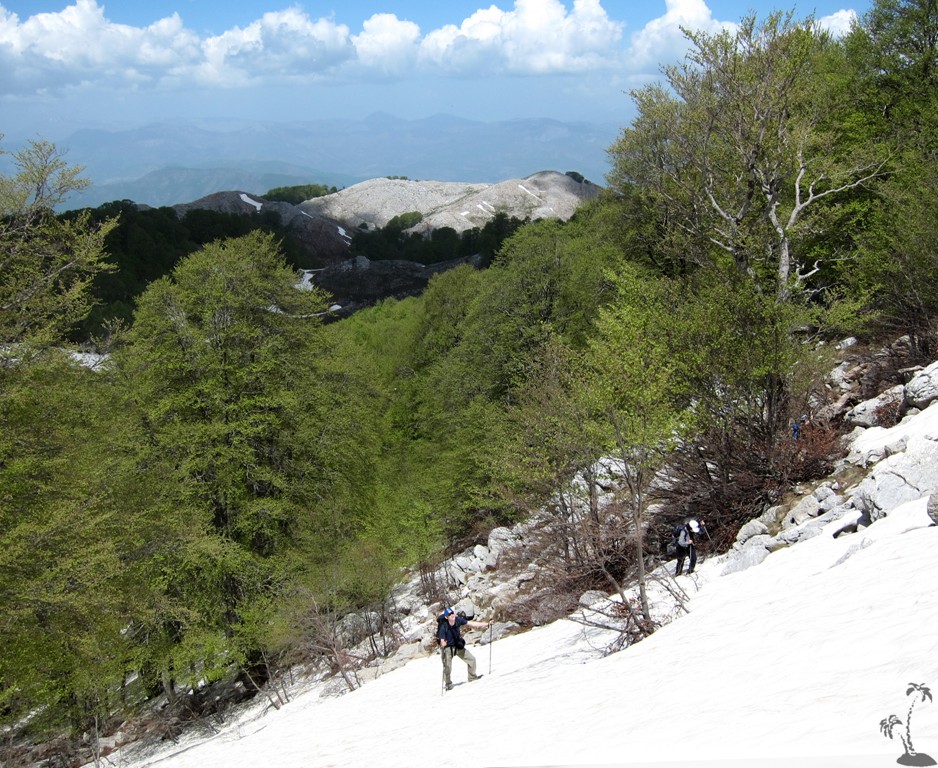
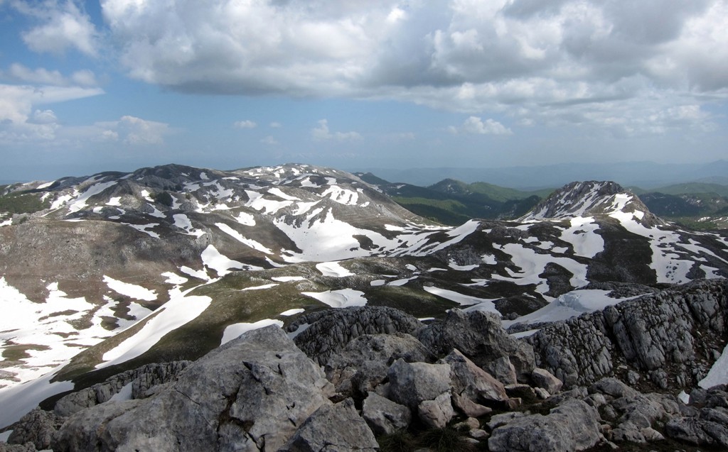
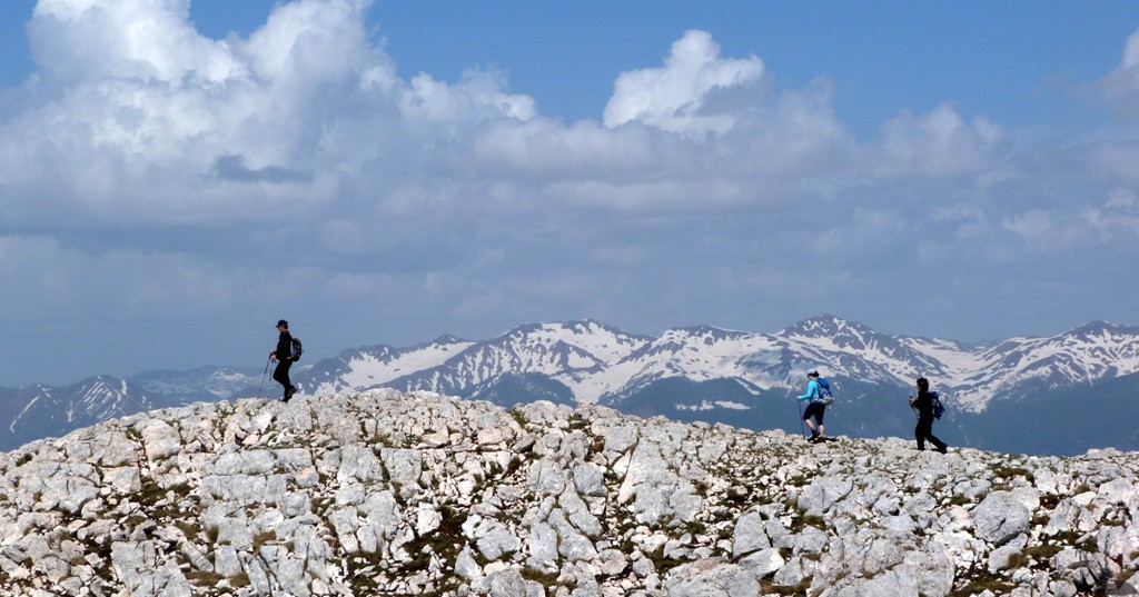
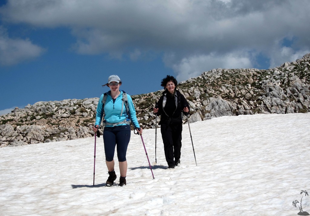
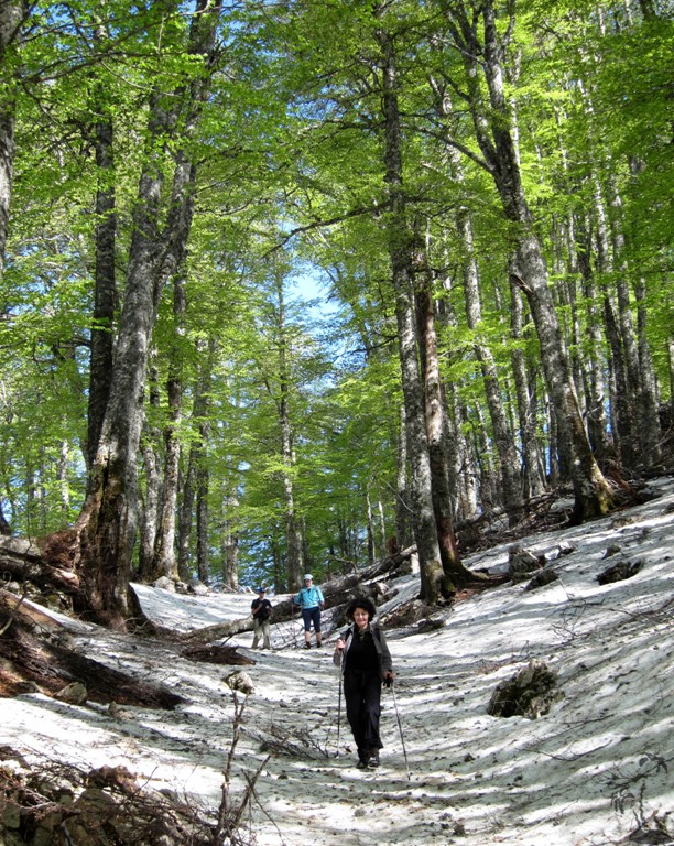
All this is to say that Mali i Polisit is unlikely to top the mountaineer's priority list. But a hike up to its summit, especially in spring, will exceed all your expectations. Route finding is difficult through the forests and the karstic dolines, and - like on Munelle mountain - there is a lot of up and down before you will reach its highest point, just below the 2000 Meter mark.
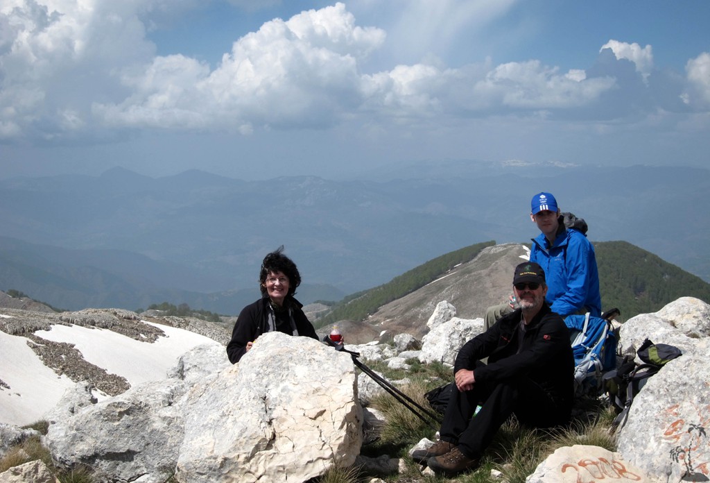
But you will feel very much rewarded once you make it to the top, or just to the green alpine meadows!
The Drive to Gurshpatë: Not very difficult, but surprisingly long. There are several possibilities for taking the wrong turn. Once at the trailhead, one can continue following the fairly good road for a few more kilometers.
| Maximum altitude: | 1133 meter |
| Minimum altitude: | 196 meter |
| Cumulative height: | 996 meter down |
| Cumulative length: | 13.8 kilometer |
| Difficulty | easy |
| Time: | 4.5 hours |
| Date of this record | May 2013 |
| Download GPS info: | Drive to Gurshpatë |
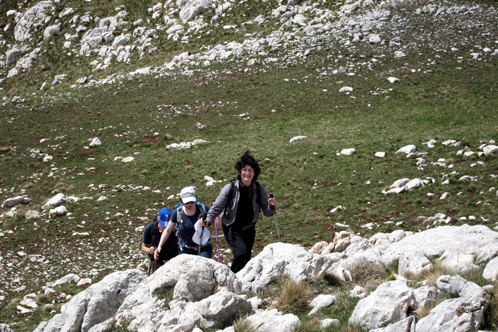
The climb: The major difficulty is to find a trail through the patches of forest. Our trail (which we found on our return hike) uses open spaces as much as possible.
| Maximum altitude: | 1973 meter |
| Minimum altitude: | 1175 meter |
| Cumulative height: | 864 meter |
| Cumulative length: | 7.28 kilometer one way |
| Difficulty | moderate |
| Time: | 5.5 hour up |
| Date of this record | May 2013 |
| Download GPS info: | Mali i Polisit |
General location and approach: North of Elbasan. The turn off to Gurshpatë is just before Hotel Ballkan.
Other Information: Its a long hike, with more than 14.6 kilometer for the return trip!
GPS and trailmaps: The map and
trailinformation is generated by
![]() , based
on GPS information collected from the actual hike. Waypoints
can be downloaded to a GPS device from Wikiloc. If necessary, use
GPSBabel to
convert GPS data to different formats. For more
hike descriptions by Palmtreetreeproduction, browse this
website or visit Wikiloc
and search for "Palmtreeproduction". You may also find
nearby trails from other authors.
, based
on GPS information collected from the actual hike. Waypoints
can be downloaded to a GPS device from Wikiloc. If necessary, use
GPSBabel to
convert GPS data to different formats. For more
hike descriptions by Palmtreetreeproduction, browse this
website or visit Wikiloc
and search for "Palmtreeproduction". You may also find
nearby trails from other authors.
Google Earth: You may also view the trail in 3D when viewing it in Google Earth, which you need to have installed on your computer. The 3D perspective allows a good preview of gradients, steepness, possible views and is generally helpful when planning a trip.