PALM TREE PRODUCTIONS
back to Albania site back to hikes and climbs back to Locations and Travel
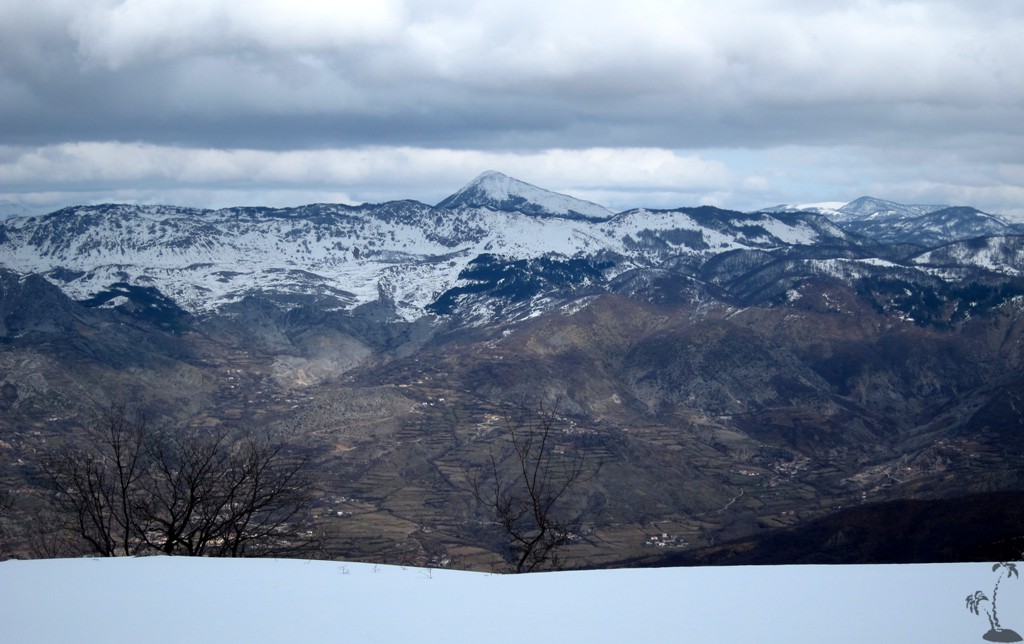
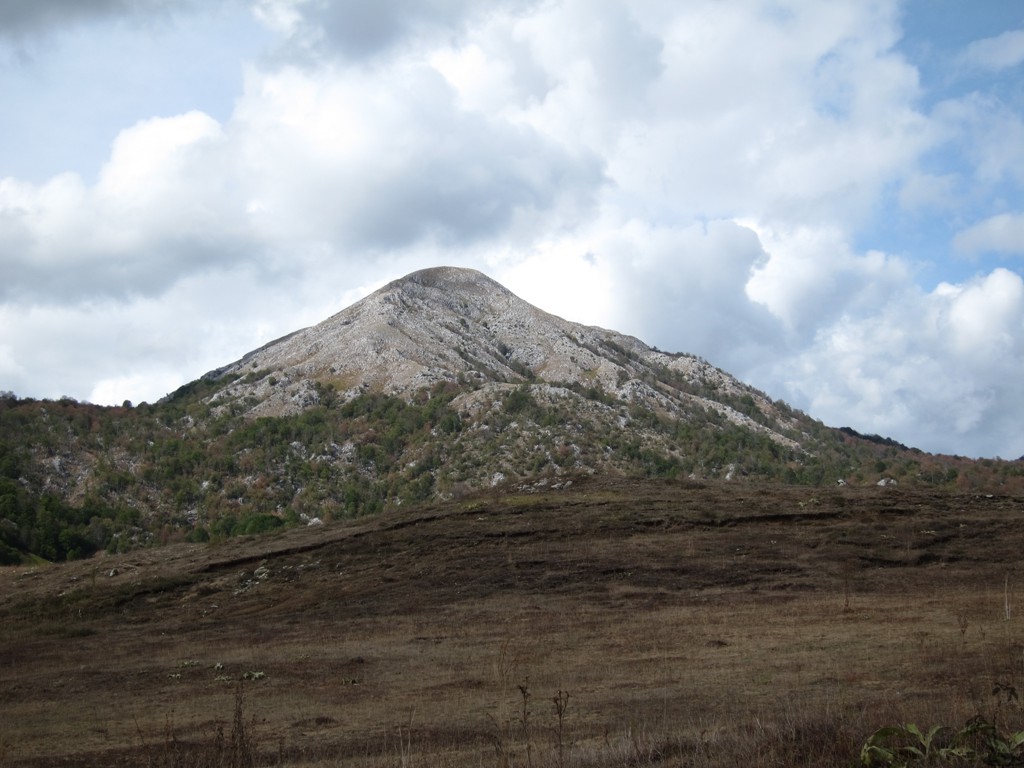
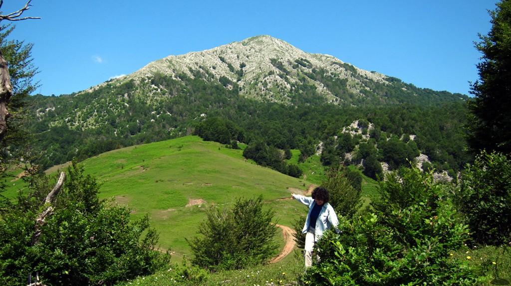
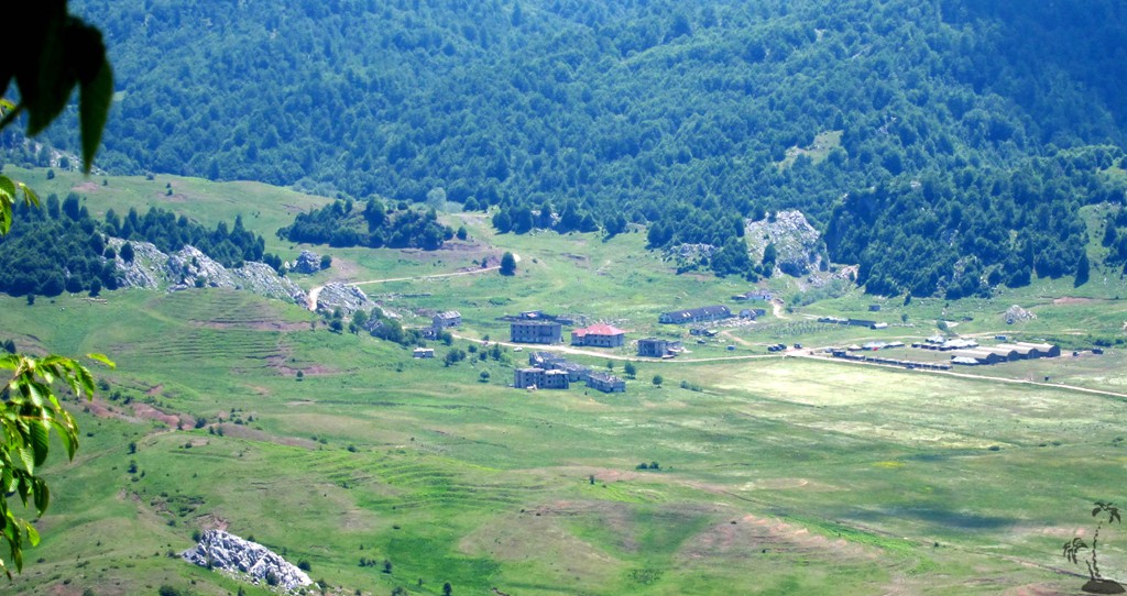
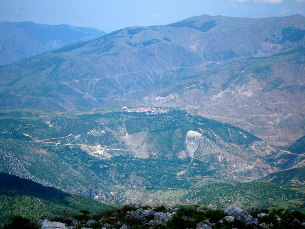
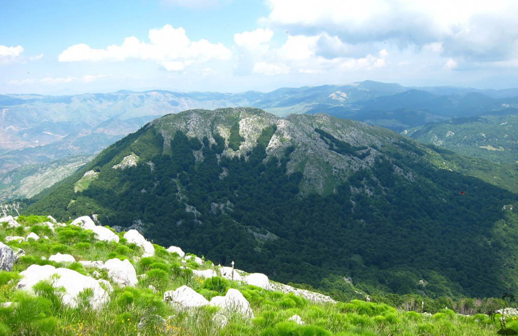
Mali i Snojt, and the abandoned town of
Bize![]()
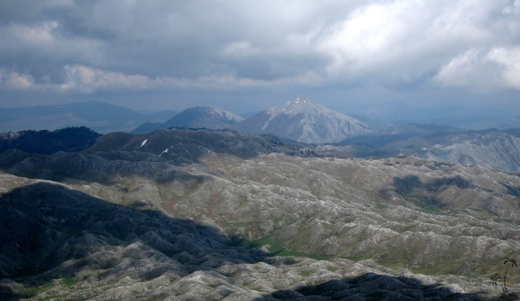
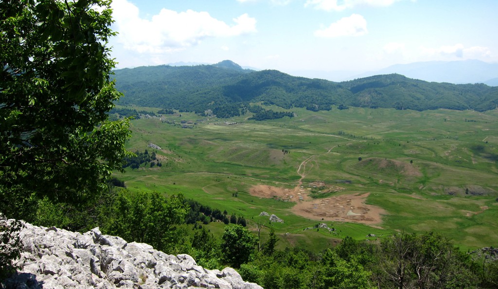
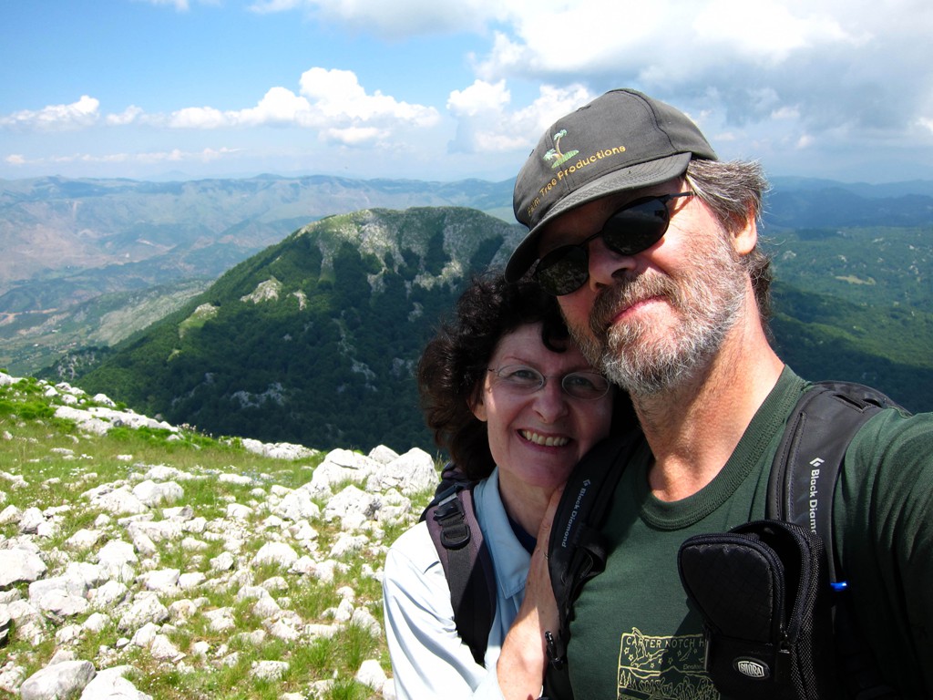
Summary: We are not too sure about the correct name of this mountain, in the hinterland of Tirana. While it seems to be close to Tirana, it takes almost two hours to drive there. The mountain may be more impressive from the distance than when it is right in fron of you, but then it sits in the broad valley of Bize town, where we were told that strawberries and mushrooms are plentiful. The loop hike is a sort of bushwhack (especially on the way down), but we enjoyed it very much.
| Maximum altitude: | 1851 meter |
| Minimum altitude: | 1233 meter |
| Cumulative height: | 664 meter |
| Cumulative length: | more than 7 kilometers |
| Difficulty | moderate |
| Time: | 5 hours |
| Date of this record | June 2011 |
| Download GPS info: | Mali i Snojt |
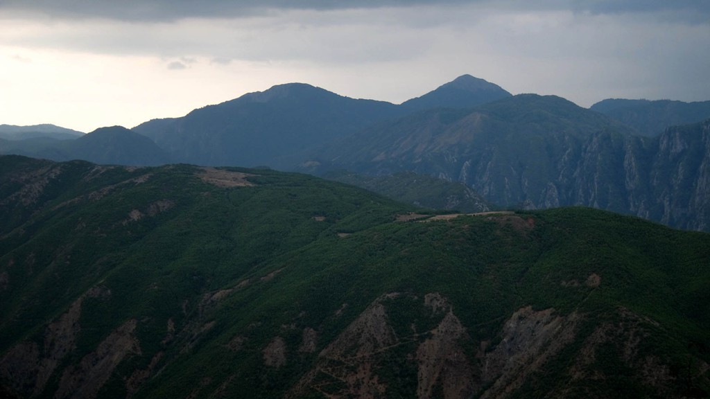
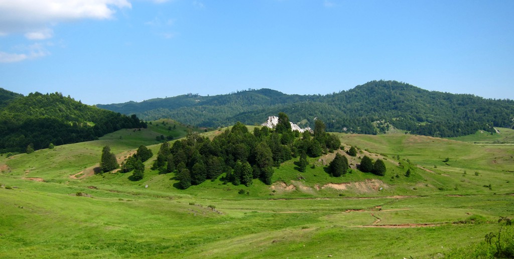
General location and approach: Mali i Snojt is near the abandonned town of Bize, which is to east of Dajti mountain, across the valley of Shengjergj. There is a direct rnew and easy road leading from Dajti mountain to Shengjergj, (asphalt), and the once notorious track up to the Bize plateau is easy but it is better to go with s high clearance vehicle. A little longer is the the road from Dajti over Qafe Mole, along Mali me Gropa, past the turnoff (in a hairpin) to Klos. Continue the main road until a junction where the road to the right leads to Elbansa, and the left road leads to Bize.
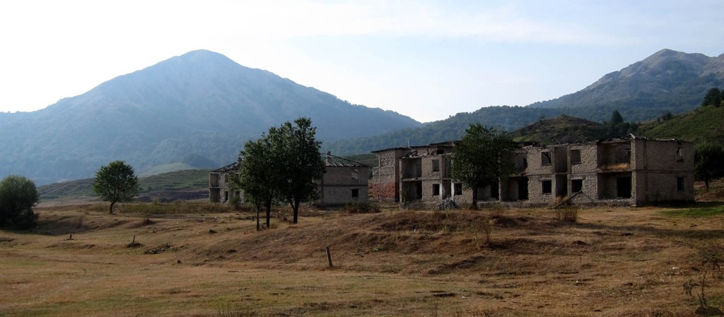
Other Information: Bize is an abandonned town with a permanent military base. We passed the village many time, and it is usually very quiet. At the time we climbed Mali i Snoijt, a bunch of soldiers were firing life ammunition in hot pursuit of a fictitous enemy. A little further on, they were attacking one of the abandonned buildings. The officers in charge were very helpful, and assured us that we were perfectly safe climbing the mountains of our desire and indeed we were.
Because of the military exercises, we did not park close to Mali i Snojt, but in the town of Bize.
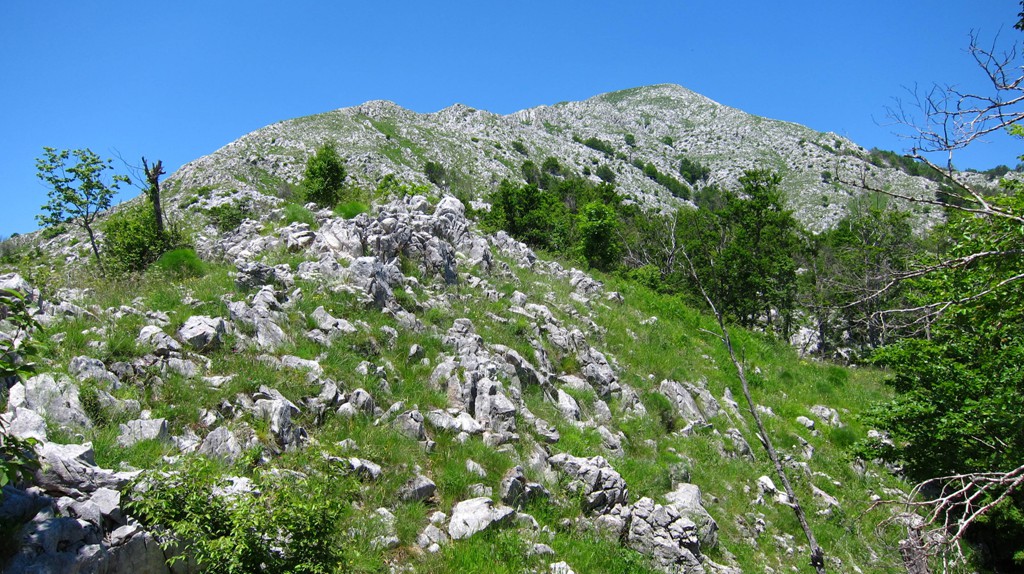
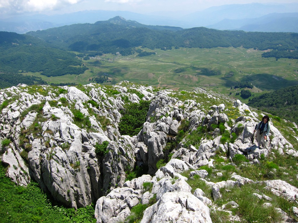
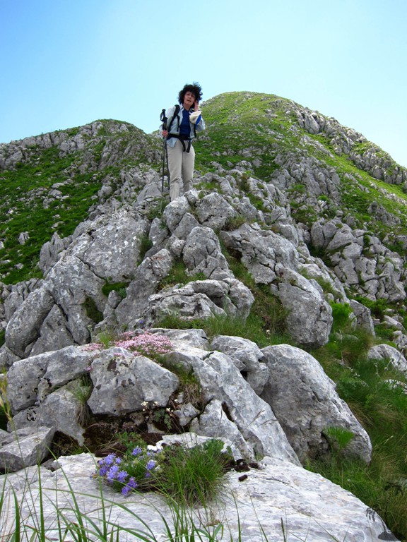
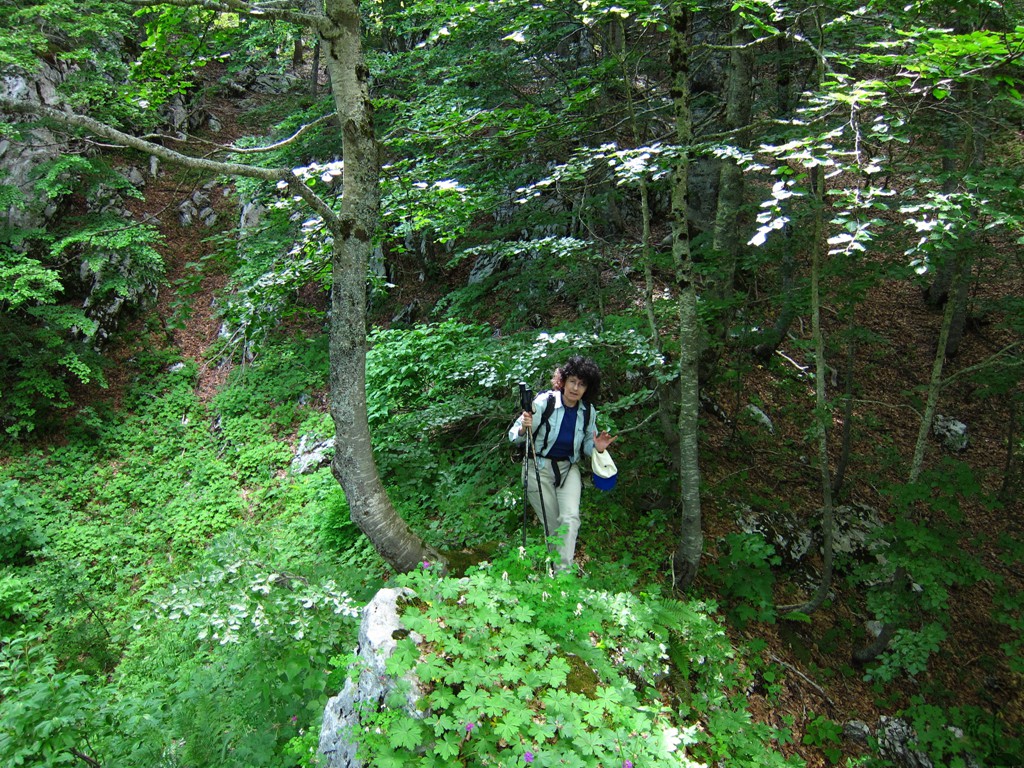
There is no trail, marked or otherwise, up to the mountain. The hike is a bushwhack. The way up is pretty easy. We decided to cross the summit and descend via the ridge leading to the smaller mountain east (slightly more difficult than our way up). The bushwhack became more serious. More importantly, the valley between the two mountains is full of dolines (holes), making it a fairly tedious undertaking. Eventually, we emerged on a road and met our original trail. This being a "balloon"hike, you have to addd another 2 or so kilometers to return to the town of Bize.
While all this may sound rather disorganized, it was quite interesting. For a shorter hike, and if there is no military action going on, park close to the mountain, hike up on the grassy slope avoiding any trees as much as possible, and return the same way.

GPS and trailmaps: The map and trailinformation is generated by www.wikiloc.org, based on GPS information collected from the actual hike. Waypoints can be downloaded to a GPS device from Wikiloc. If necessary, use GPSBabel to convert GPS data to different formats. For more hike descriptions by Palmtreetreeproduction, browse this website or visit Wikiloc and search for "Palmtreeproduction". You may also find nearby trails from other authors.
Google Earth: You may also view the trail in 3D by clicking "view in Google Earth" when on Wikiloc. You need to have Google Earth installed on your computer.