PALM TREE PRODUCTIONS
back to Albania site back to hikes and climbs back to Locations and Travel
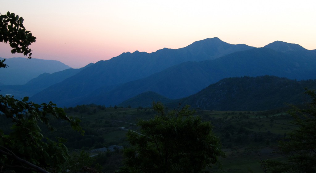
Bear Tracks on Maja e Kreshtës![]()
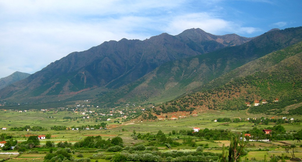
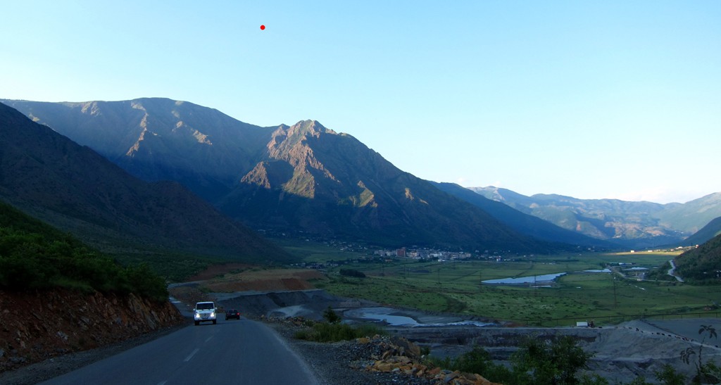
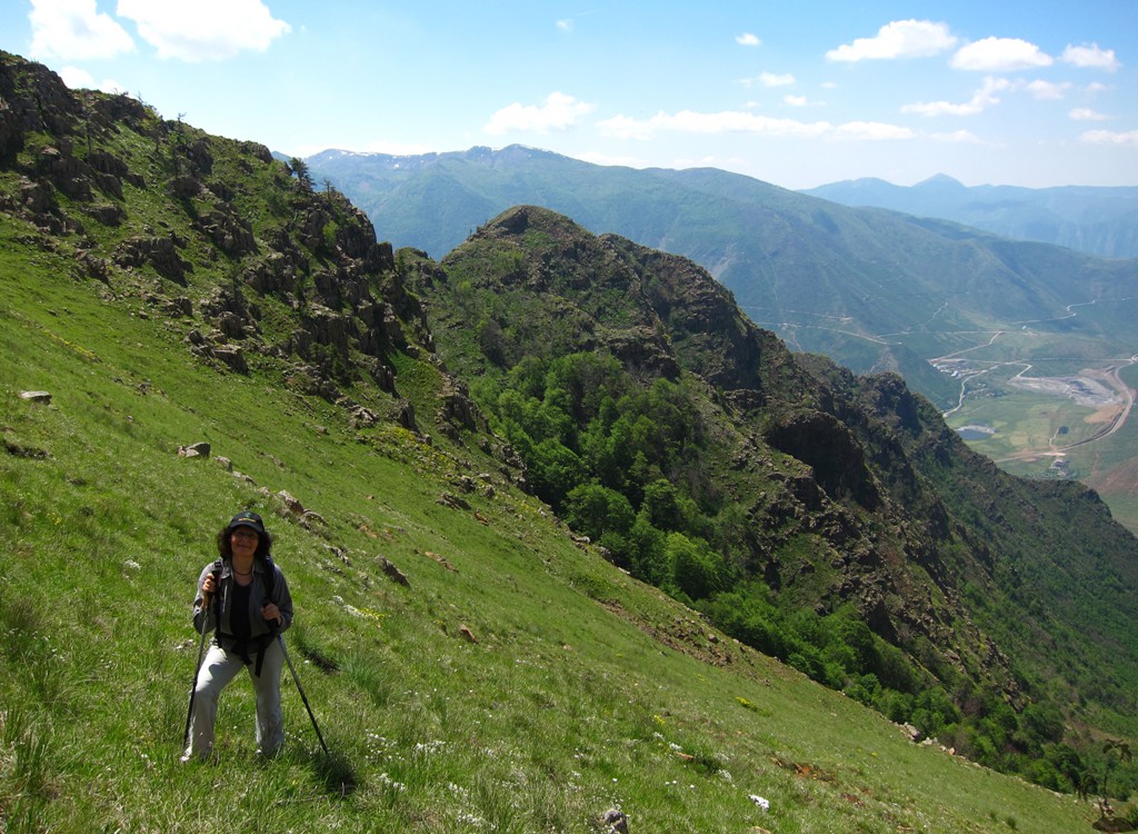
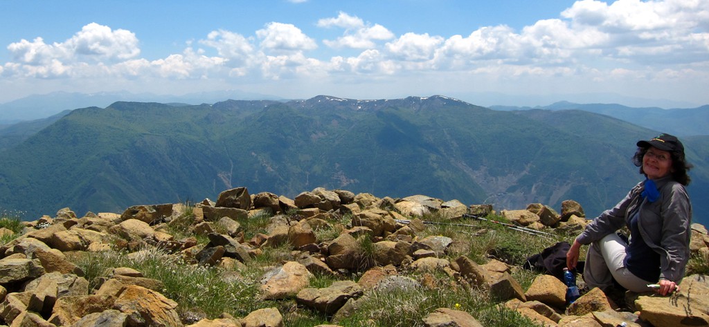
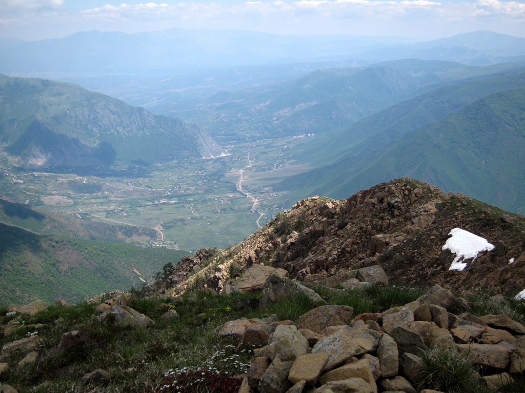
Summary: Maja e Kreshtës is the second highest point of the Micekut Mountains (the highest being Allamani, about 5 kilometer away as the crow flies). While Allamani is difficult to approach, Maja e Kreshtës is the house-berg of Bulquize. The hike begins in the northern part (Qyteti i Ri) of Bulquize town.
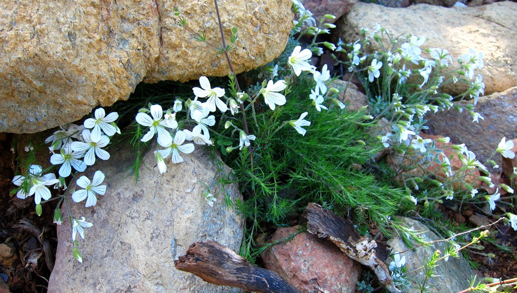
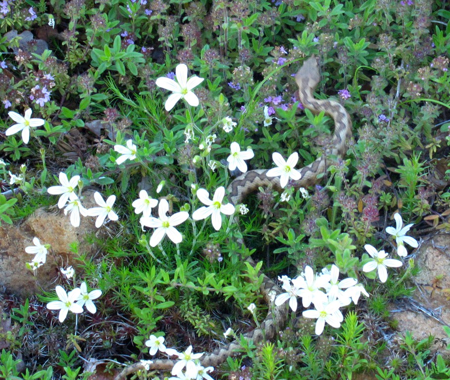
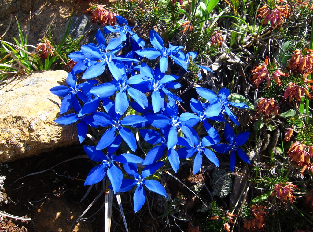
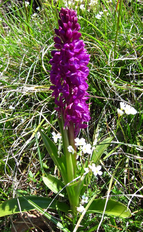
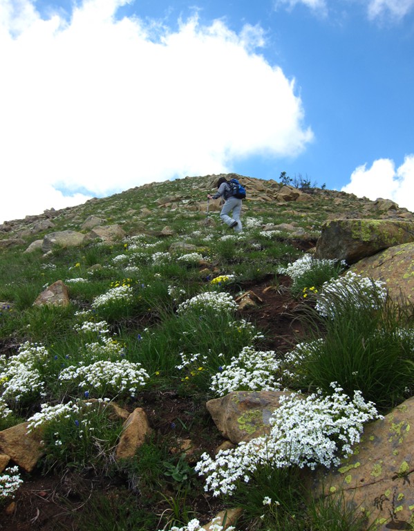
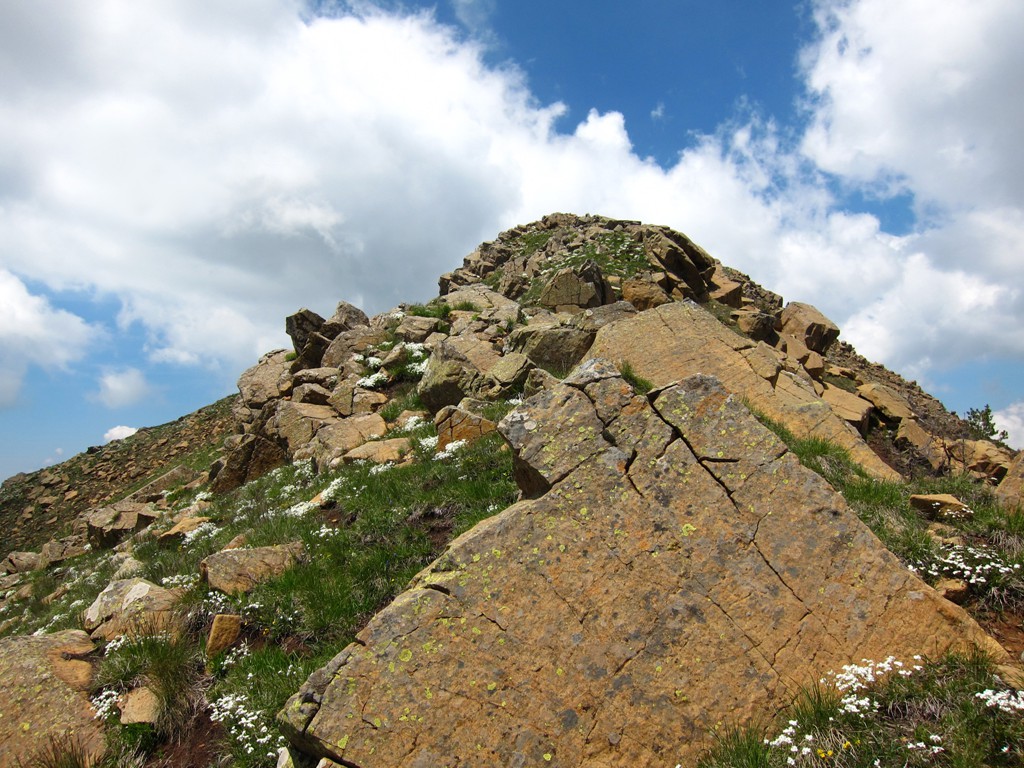
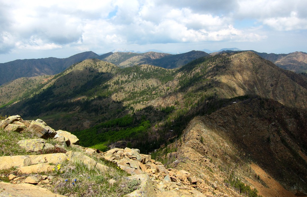
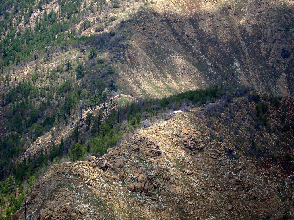
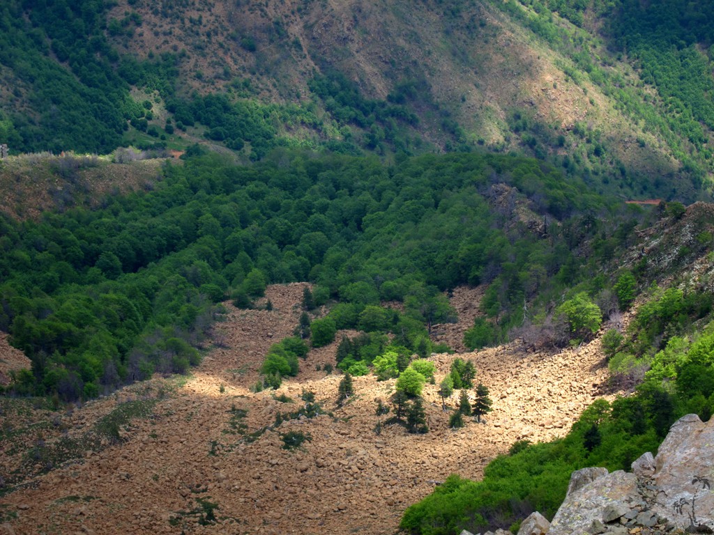
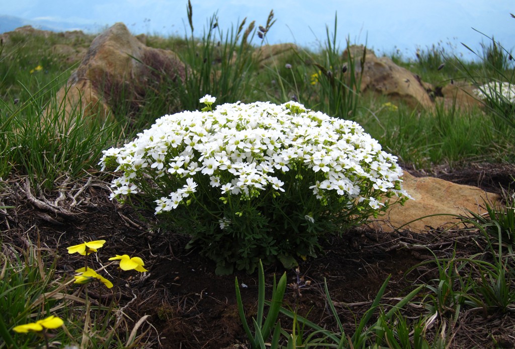
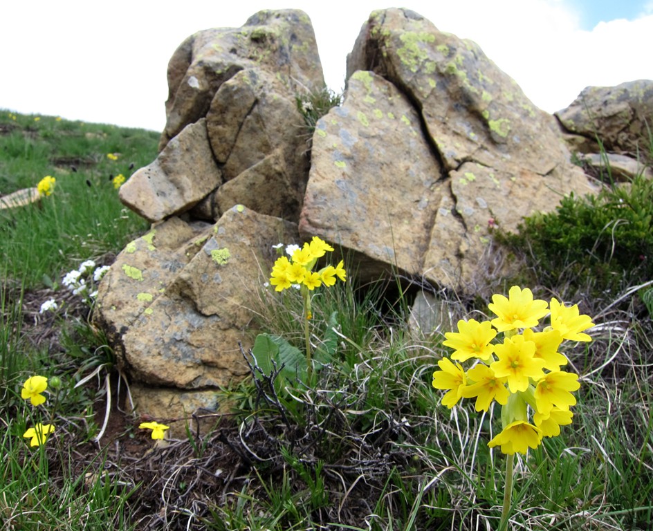
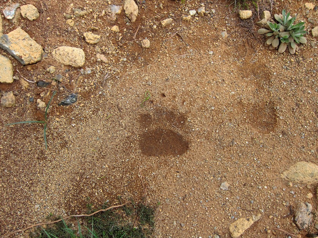
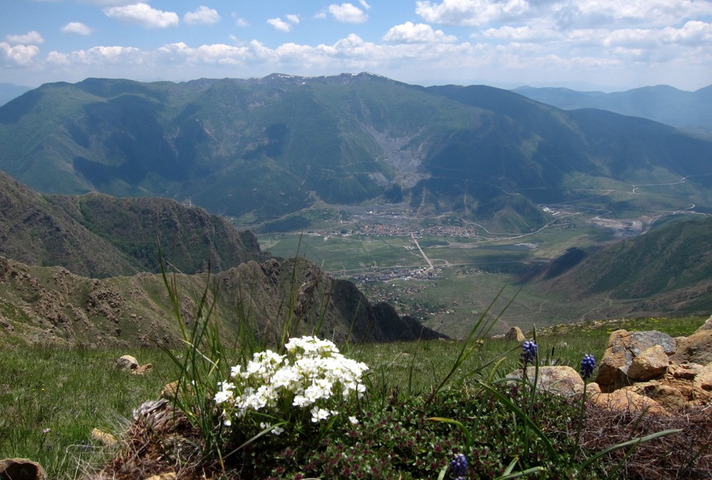
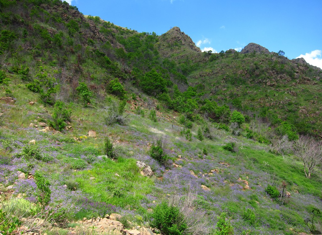
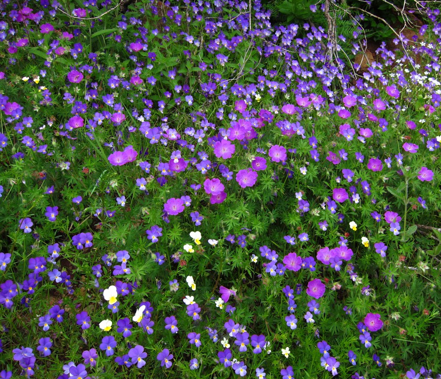
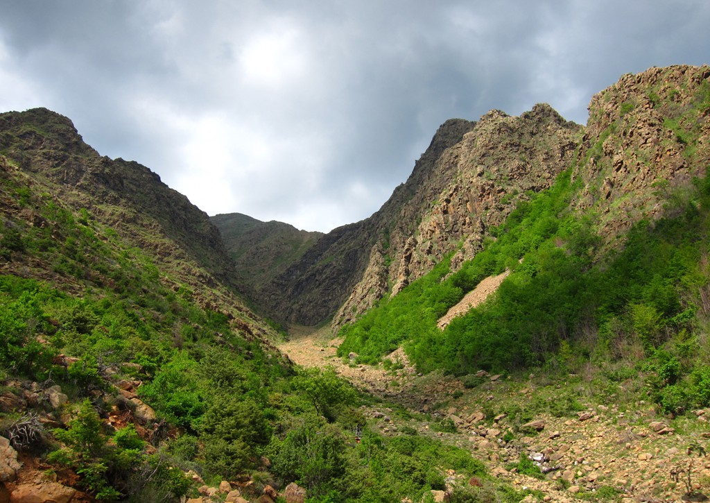
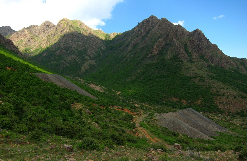
It is here, that the Micekut Mountains show their most dramatic face - a steep wilderness of red rock, much different from the karstic formations that dominate much of the rest of Albania. Bulquize is mostly known for its mining industry, which takes place mostly on the southern side. While Maja e Kreshtës also sees some mining activity, it hardly affects the solitude and remoteness of the area. During our hike to the summit, we came across a common viper (German: Kreuzotter) and rather fresh tracks of a bear. We hiked in early June, and the abundance of spring flowers made this is a truly delightful hike.
We chose a roundtrip, ascending through the north-eastern couloir. The grassy slopes near the ridgeline are steep but quite manageable. From there, we went anti-clockwise to the summit, and back to Bulquize. Between way point 09 and way point 10, the trail was once broken up by some mining activity, which is now abandoned. The trick is to find the path that continues down the mountain - do not venture too far off the coordinates and make sure you return to a visible path after waypoint 10.
This is a long hike, without much water along the way.
| Maximum altitude: | 2102 meter | ||||||||||||||||||||||
| Minimum altitude: | 888 meter | ||||||||||||||||||||||
| Cumulative height: | 1216 meter | ||||||||||||||||||||||
| Cumulative length: | 11.08 kilometer roundtrip | ||||||||||||||||||||||
Difficulty
| moderate |
Time:
|
8.5 hours |
Date of this record |
June 2014 |
Download GPS info: |
Maja e Kreshtës |
|
| |
|
|
|
|
|
|
|
|
|
|
|
|
|
|
Drive to trailhead: Just to find the best way to the last houses....
| Maximum altitude: | 890 meter | ||||||||||||||||||||||
| Minimum altitude: | 756 meter | ||||||||||||||||||||||
| Cumulative height: | 159 meter | ||||||||||||||||||||||
| Cumulative length: | 1.4 kilometer | ||||||||||||||||||||||
Difficulty
| easy |
Time:
|
5 minutes |
Date of this record |
June 2014 |
Download GPS info: |
Trailhead Kreshtës |
|
| |
|
|
|
|
|
|
|
|
|
|
|
|
|
|
General location and approach: Bulquize town
Other Information: Shtepia e Bardhe, in Qyteti i Ri, is a simple hotel with comfortable and clean rooms. It doesn't have any signs, and is on the right side as you enter Qyteti i Ri.
Google Earth: You may also view the trail in 3D by clicking "view in Google Earth" when on Wikiloc. You need to have Google Earth installed on your computer.