PALM TREE PRODUCTIONS
back to Albania site back to hikes and climbs back to Locations and Travel
Mourgana![]()
Summary: When mentioning Mourgana to someone in Albania, you are likely to draw a blank. This is, perhaps, because Mourgana is the southernmost big mountain in Albania and remote. But then, because it is the southernmost big peak, you would expect more attention...
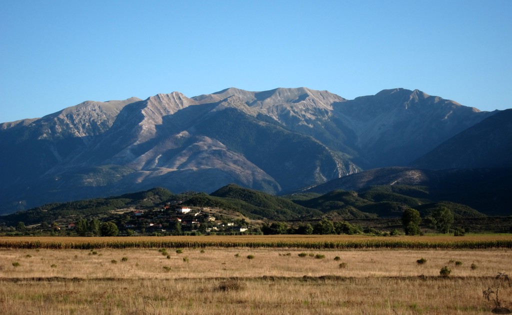
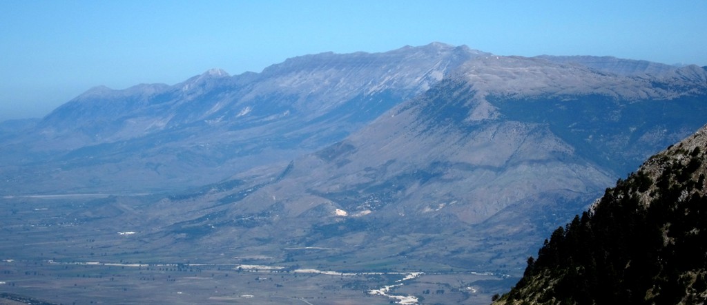
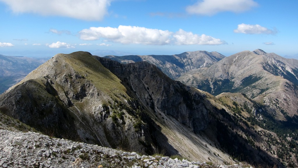
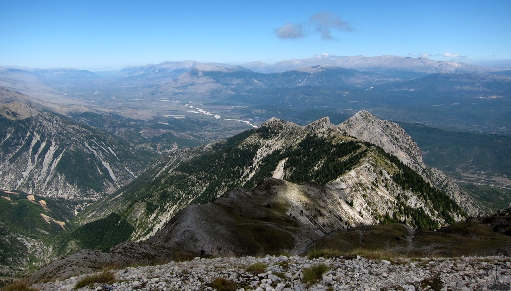
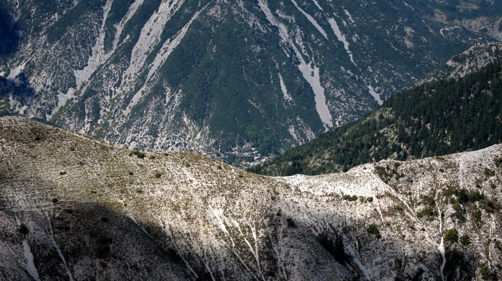
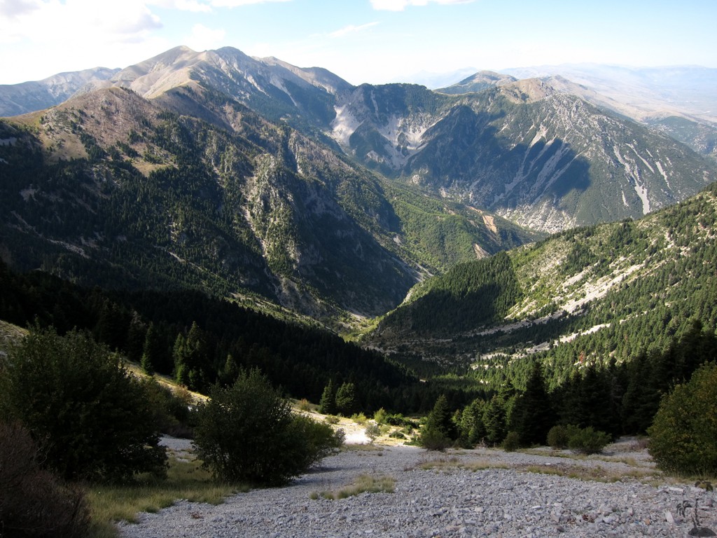
Sitting on the border between Albania and Greece, most travelers heading south via the Kakavia border post have their mind fixed on travel formalities or their final destination. Mourgana also doesn't have a sharp peak, but impresses through its bulk and the interesting ridges spreading in all directions. From Korfu, or the lower lands between Saranda and Igoumenitsa, Mourgana will impress with its snow covered top in winter and early spring.
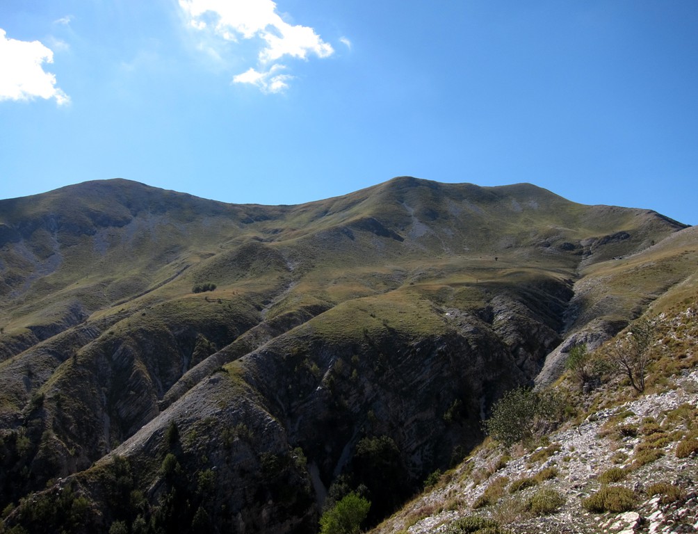
With an official altitude of 1806 meter, Mourgana is not particularly high among the mountains of southern Albania. But separated from the other main mountain chains, it is relatively isolated and stands out. Moreover, on the Albanian side, there is no road leading high up the mountain, and a hike to the summit requires a climb of more than 1300 meter elevation gain - which is considerably more than needed for some of the most prominent mountains in Albania.
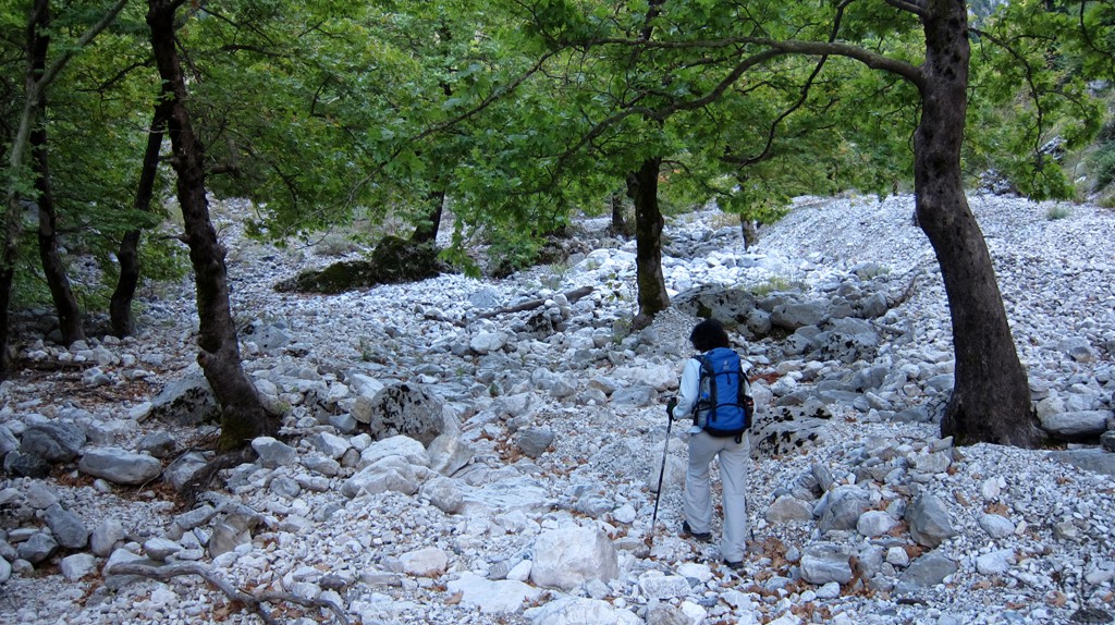
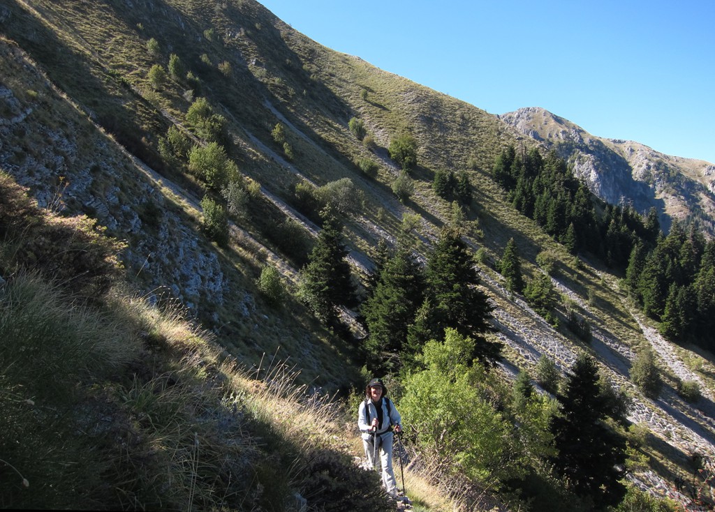
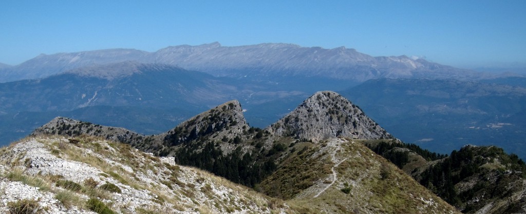
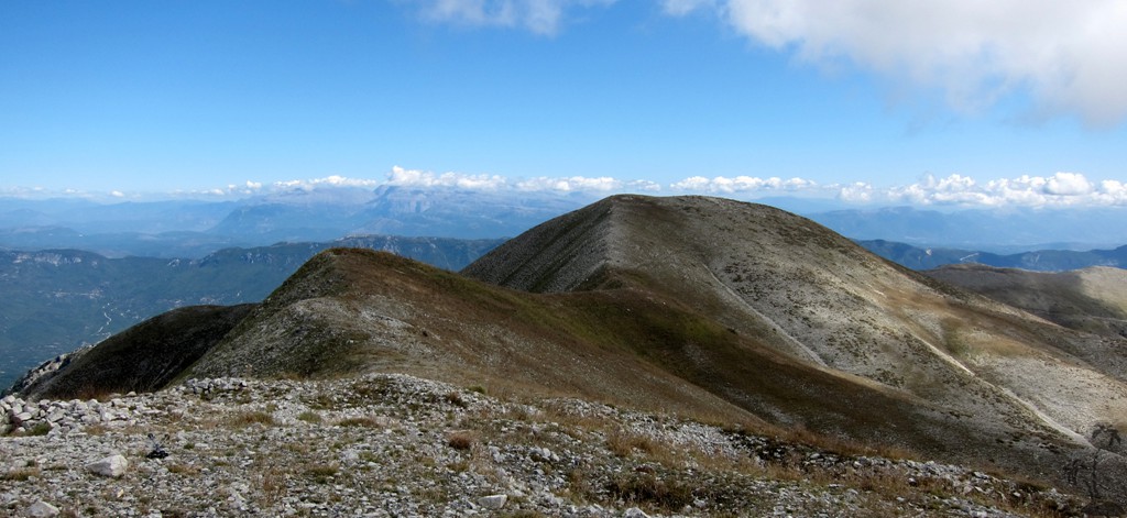
We found Mourgana to be an absolute delight. The main feature of the hike is the climb of its west-facing slope. While the slope itself is very steep and gravelly, it has an excellent mule path with a nice gradient leading up to the summit ridge. We advise though to make an early start and to take advantage of the cooler months.
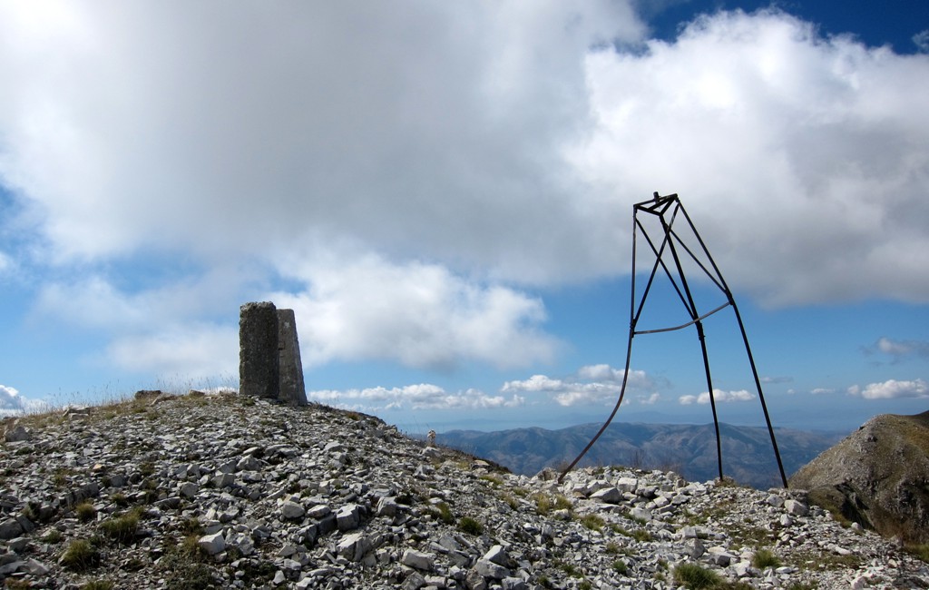
Mourgana has a summit ridge with two highpoints that compete for being the summit. Most maps consider the summit to be the western highpoint and it also has a sort of tripod or marker on its top. This is the the first summit that you are likely to scale anyway. The maps that we have more confidence in, our own GPS, and the word of a local from Sotire confirm that the summit is the eastern highpoint. According to our measurements it is 19 meter higher than the one with the tripod and markers. Form your own opinion - it takes less than 15 minutes to walk from one to the other.
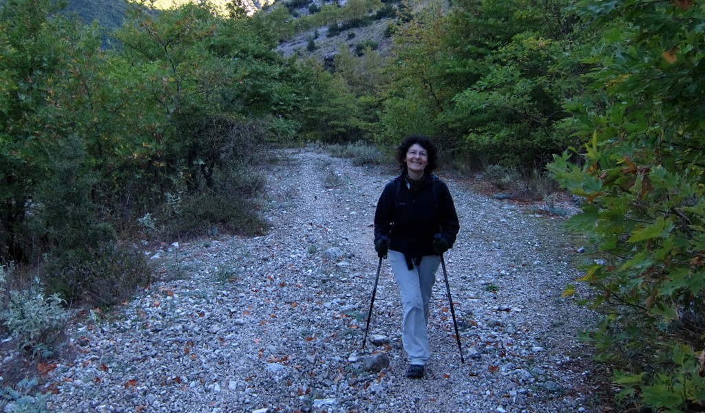
The Climb: The hike starts at Sotire village. Park you car on the village square or at the trailhead according to our coordinates. The first kilometer or so is on an old gravel road. You may try to drive this part, though it is not really worth it. At waypoint two, potential for error exists. Follow the main mule-path to the left (east) instead of following the river bed.
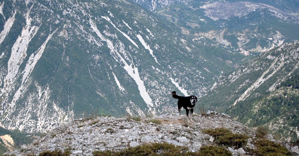
When ascending the long slope (700 meter elevation gain) from this junction to the summit ridge, be sure to follow the visible path, as otherwise scrambling in the gravel slope might be uncomfortable.
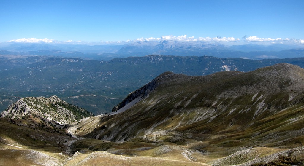
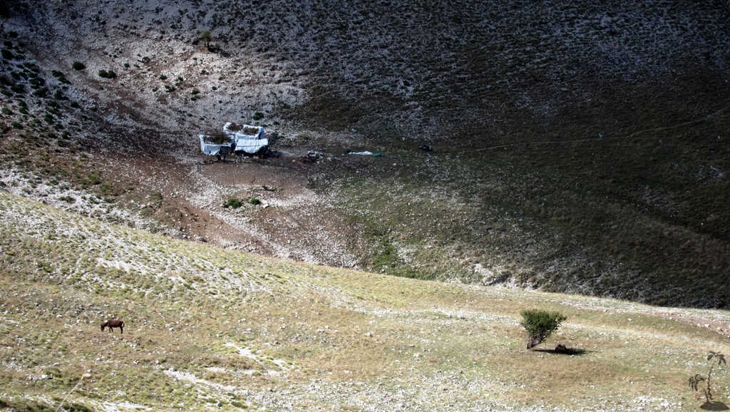
The hike is marked as a balloon hike - that is our route goes straight to the first summit, then the second summit, and then takes a shortcut to the stan (summer camp of shepherds). From there, return the way you came. It took us about 4 1/2 hours to reach the main (second) summit, and 3 1/4 hours to return to Sotire.
| Maximum altitude: | 1803 meter |
| Minimum altitude: | 509 meter |
| Cumulative height: | 1320 meter |
| Cumulative length: | 6.7 kilometer one way |
| Difficulty | moderate |
| Time: | 4.5 hour up, 3.25 hours down |
| Date of this record | September 2013 |
| Download GPS info: | Mourgana |
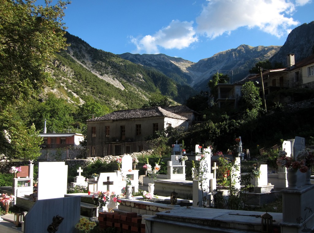
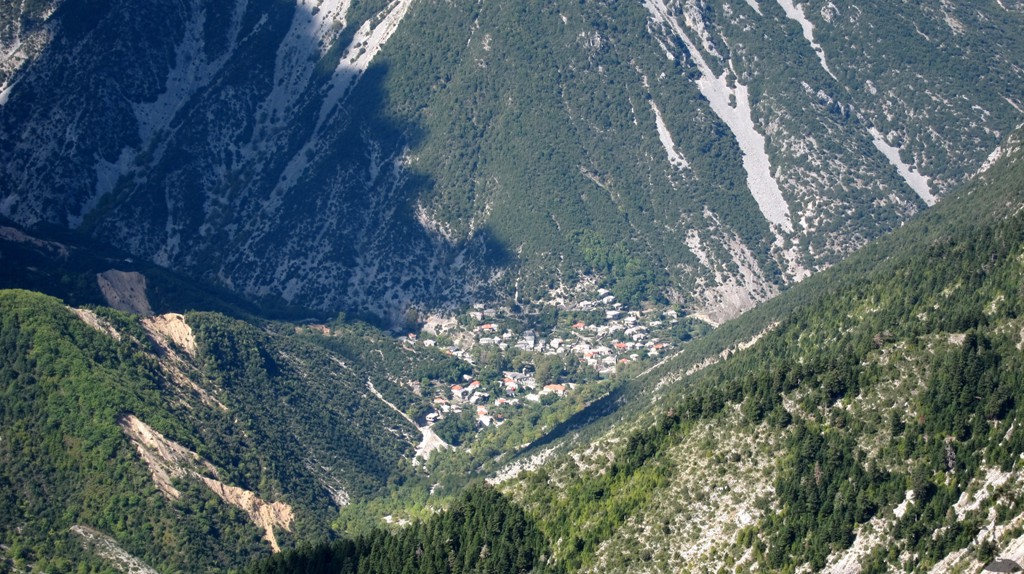
The Access: Sotire is connected to the Gjirokaster - Ionnina road by a small asphalt road starting near Kakavia. Sotire still has a resident population of 50 families, though the school is closed. Hotel Sotire offers simple accommodation, something to eat and cold beer.
| Maximum altitude: | 509 meter |
| Minimum altitude: | 270 meter |
| Cumulative height: | 254 meter |
| Cumulative length: | 13.9 kilometers |
| Difficulty | easy |
| Time: | 1/2 hours |
| Date of this record | September 2013 |
| Download GPS info: | Mourgana trialhead |
General location and approach: The very south of Albania, near Kakavia. You may overnight in Gjirokaster - we slept in Hotel Kolla in Dervican, which is fine except for the occasional machine gun fire erupting in nearby Hashish-growing Lazarat at night every now and then - if you are the type to worry about such things.
Other Information: While generally easy, this is a long hike with a lot of elevation gain.

GPS and trailmaps: The map and
trailinformation is generated by
![]() , based
on GPS information collected from the actual hike. Waypoints
can be downloaded to a GPS device from Wikiloc. If necessary, use
GPSBabel to
convert GPS data to different formats. For more
hike descriptions by Palmtreetreeproduction, browse this
website or visit Wikiloc
and search for "Palmtreeproduction". You may also find
nearby trails from other authors.
, based
on GPS information collected from the actual hike. Waypoints
can be downloaded to a GPS device from Wikiloc. If necessary, use
GPSBabel to
convert GPS data to different formats. For more
hike descriptions by Palmtreetreeproduction, browse this
website or visit Wikiloc
and search for "Palmtreeproduction". You may also find
nearby trails from other authors.
Google Earth: You may also view the trail in 3D by clicking "view in Google Earth" when on Wikiloc. You need to have Google Earth installed on your computer.