PALM TREE PRODUCTIONS
back to Albania site back to hikes and climbs back to Locations and Travel
Mali i Munellës![]()
![]()
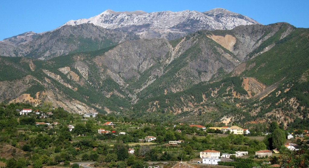
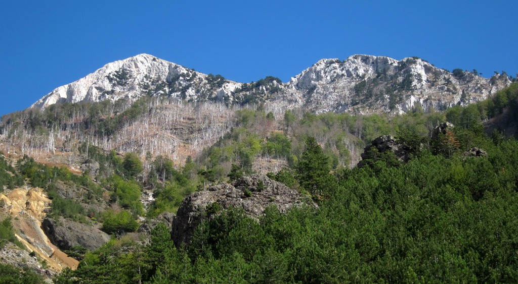
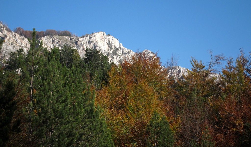
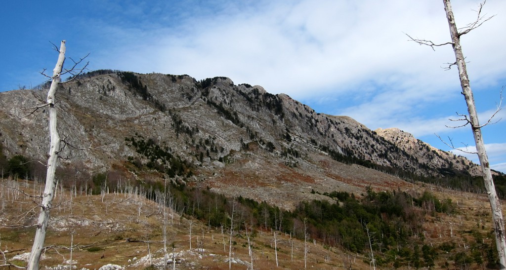
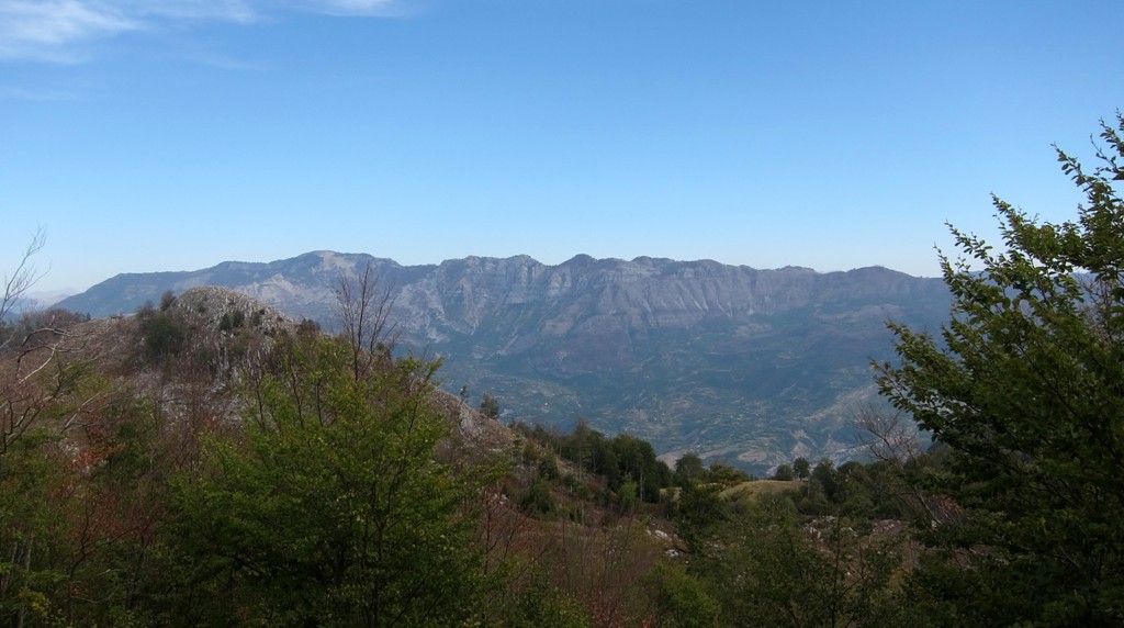
Summary: From the distance, Mali i Munellës looks like a giant tooth, like a molar sticking out of the gums. That is, of course, if you know where Munella is, and from where to look for it. Munella is the highest point of Lezhe Region. The border between Puke and Mirdite district runs north-south across the summit plateau of Munella.
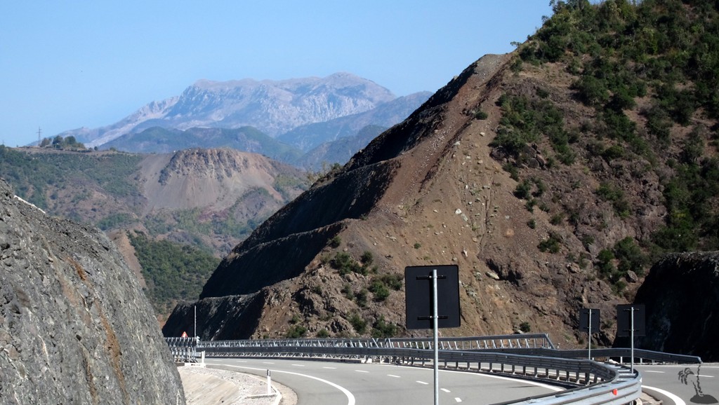
Munella sits between Fushe Arrëz and the new Autobahn connecting Rreshen and Kukes and Kosovo. As the highway runs close to the Fan river in the valley, and everybody is rushing to break another speed record, hardly anyone will afford the one or two glimpses to be had of Munella on the left of the highway if you are going to Kukes. From the highway, in Rreps, is the easiest drive to the trailhead of Mali i Munellës when planning to climb from the south. It is a gravel road and passes the former prison camp of Gurth Spac.
An easier - though much longer access is from Gjejan in Puke district via the mine village of Kimez. Even if you go via Gjegjan and on to Fushe Arrëz, you may only have one or two more sights of Munella.
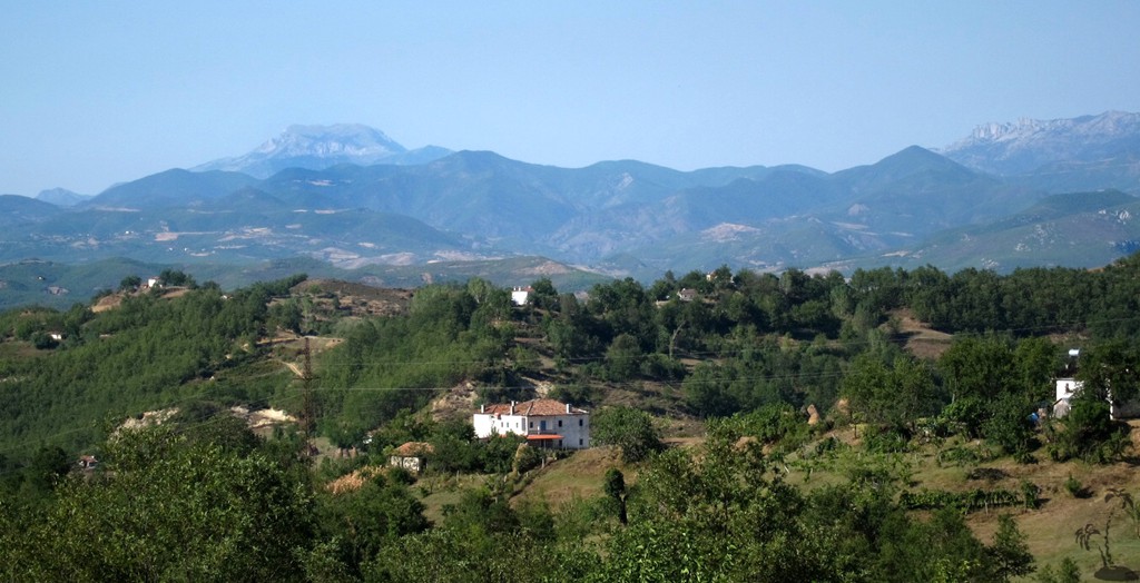
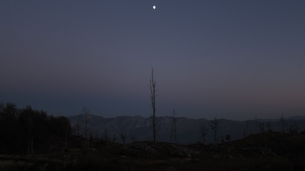
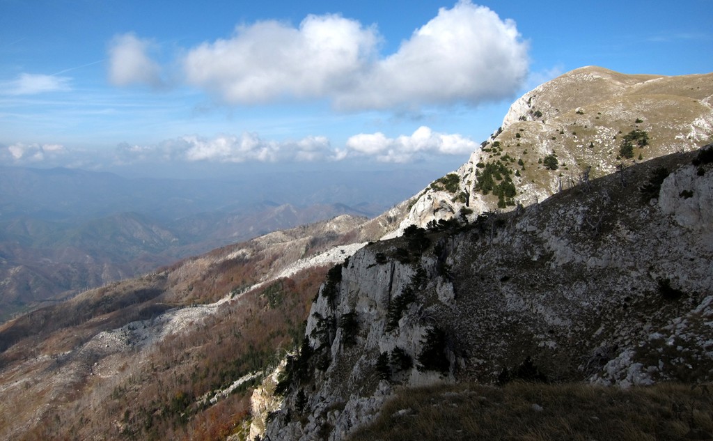
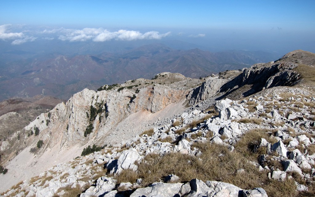
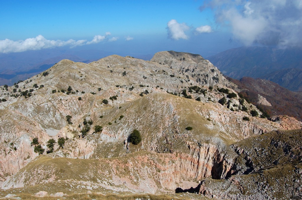
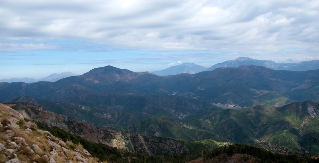
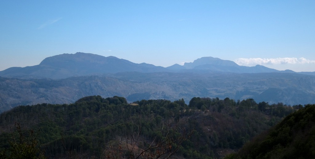
The best view of Munella, albeit from the distance, is from Burrel. From there, Munella appears to be what it is: a single isolated mountain with a seemingly flat summit plateau. While the mountain seems to be hiding from everyone's view, it affords great vistas to the mountains all around (and can as easily be made out from these mountains, too). Provided, of course, that the weather is fine. When we climbed it, haze obscured the Albanian Alps, which otherwise would have seemed very close.
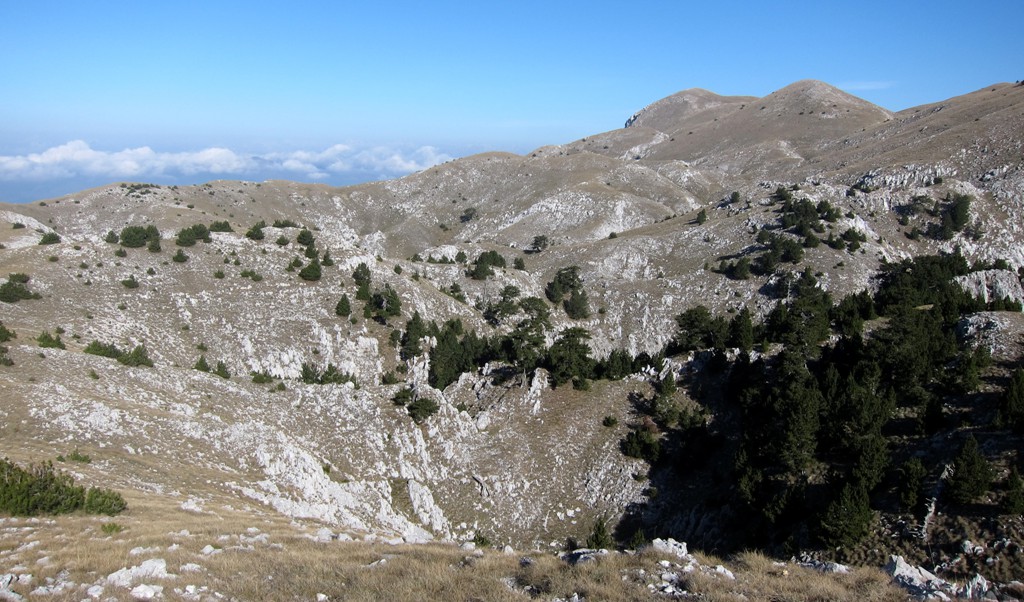
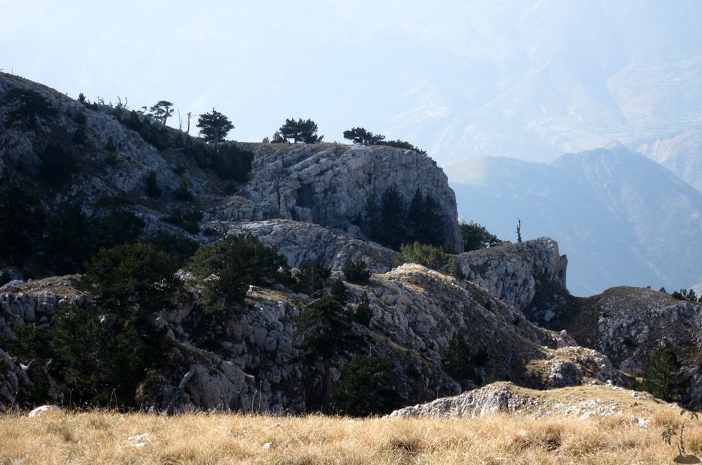
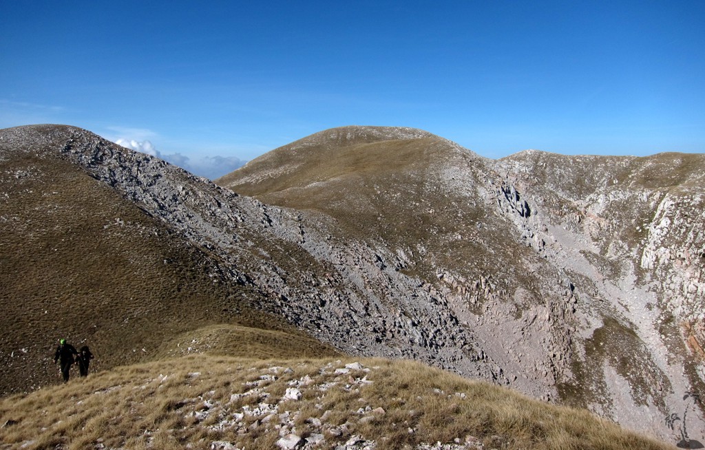
To keep with the tooth analogy, Munella would require many fillings. The summit plateau is strewn with deep dolines (craters), making movement less than straight forward. Neither google earth nor any map gives an idea of the many summits and deep holes of the Munella plateau. Among all of this up and down, Munella has two rather distinct summits. The higher peak is shown on some maps as Maja e Kryqit.
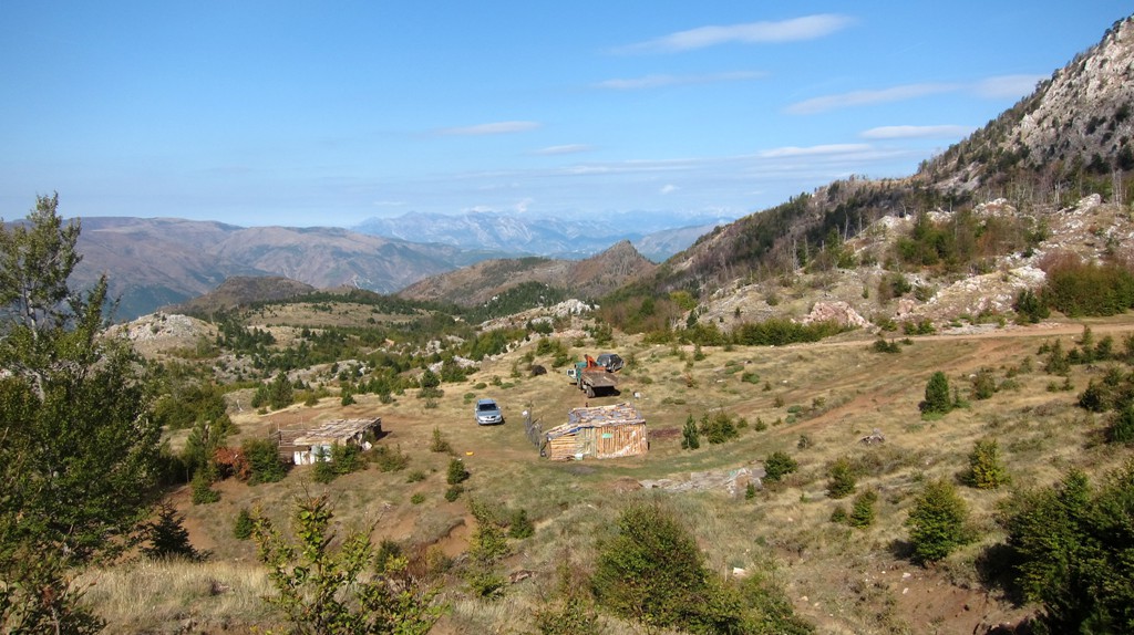
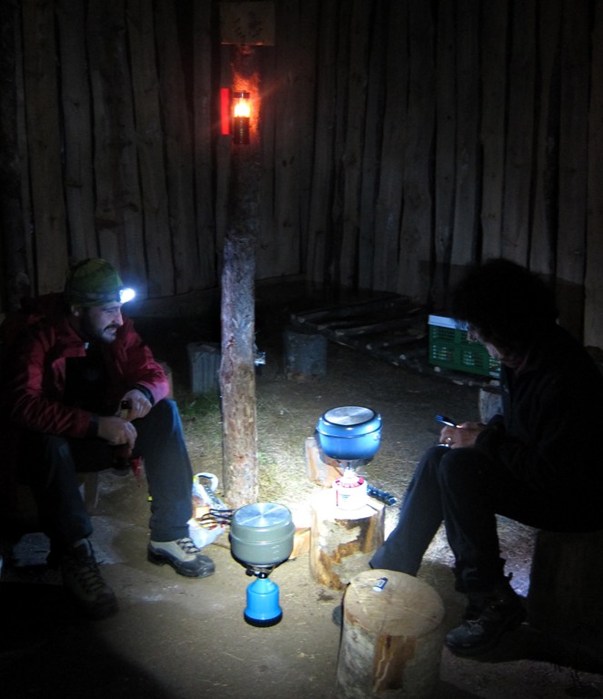
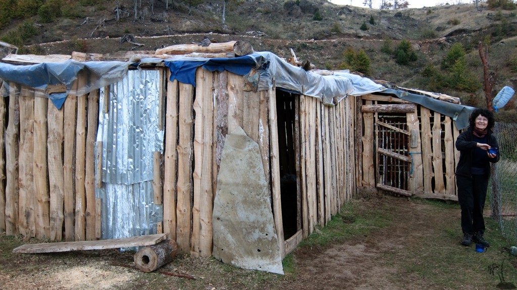
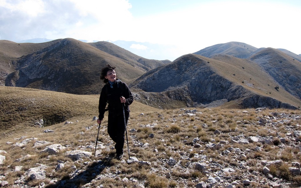
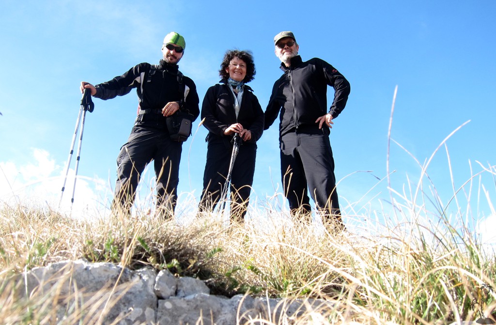
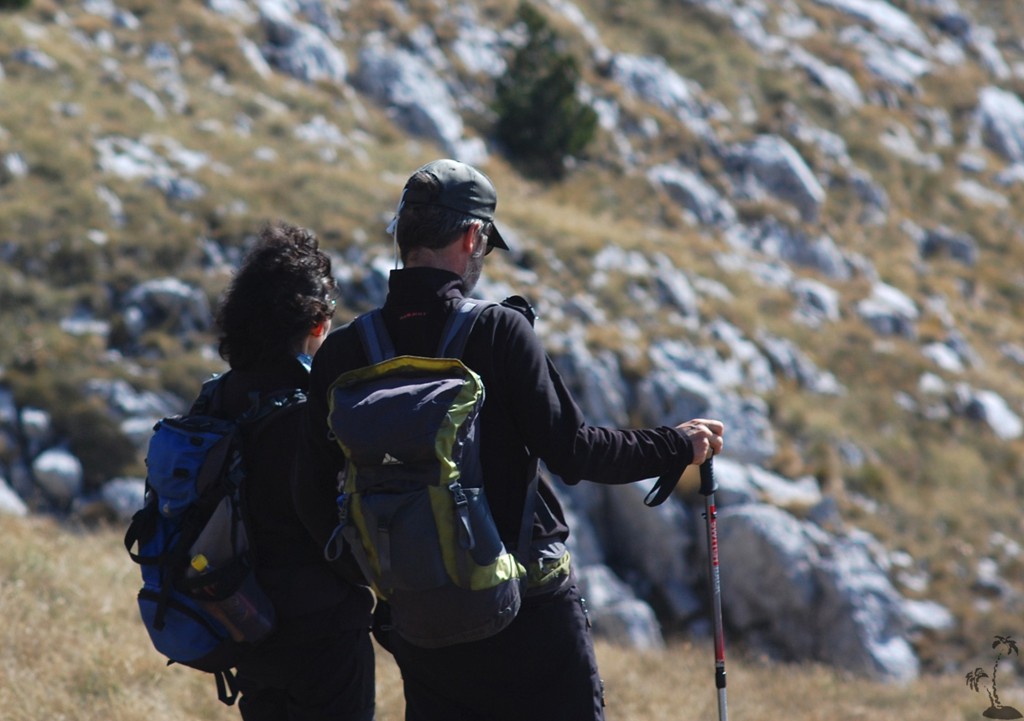
The Story: We did the access from Mirdita, from the south-east, camping at a shepherd hut at 1450 Meter altitude.The hut was empty yet open, as it's customary to offer an overnight place for hunters or anybody in need. And in need we were as we had forgotten our tent at home (for the first time in a lifetime of outdoors). The hut's wooden laths and planks were on three sides covered with heavy plastic giving some shelter from the wind. The fourth side is left open to let steam or smoke escape. Night temperature would fall to 5C.
We spread our mats on the dry earthen floor and cooked polenta and soup on the gas cooker. It is a very filling one pot dish and good for a night's rest, particularly when nights are cold.
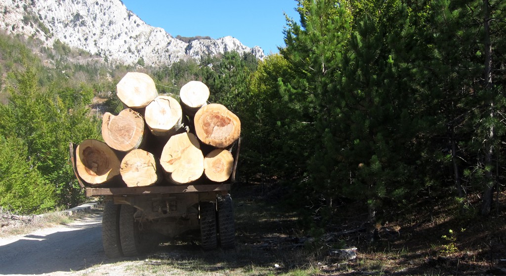
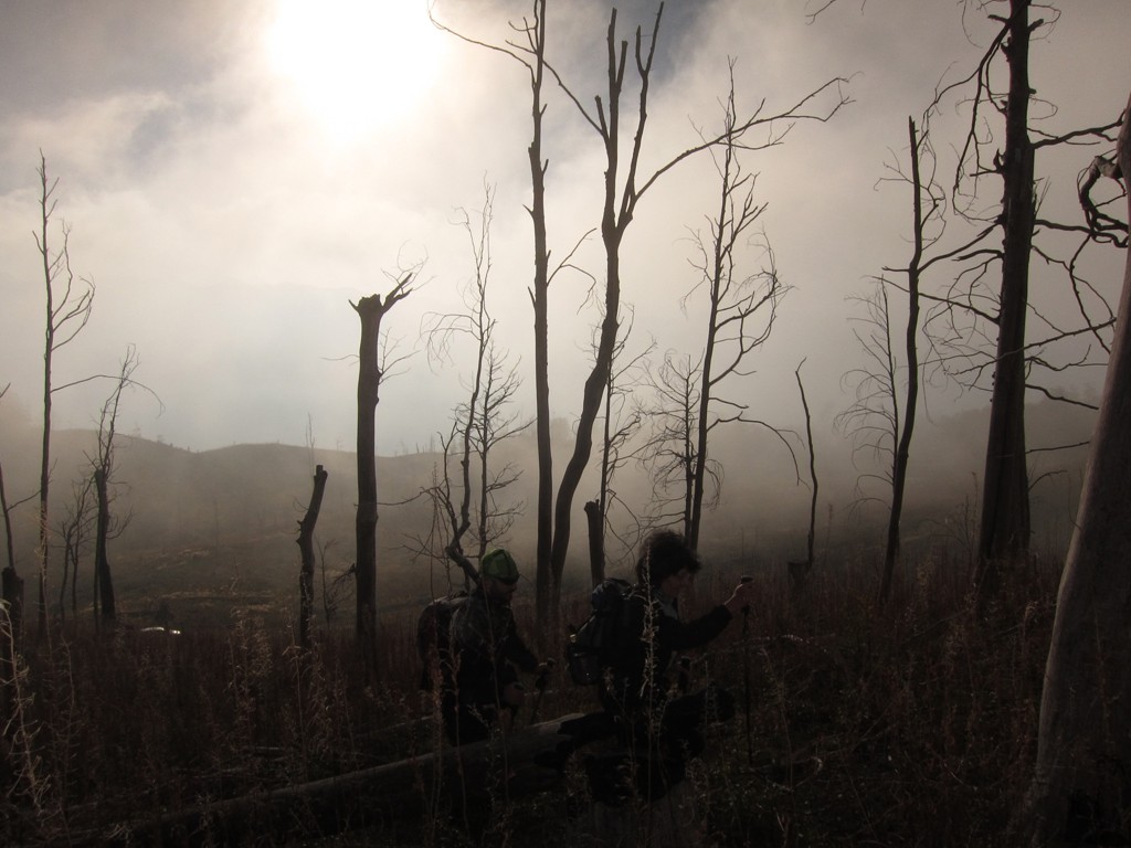
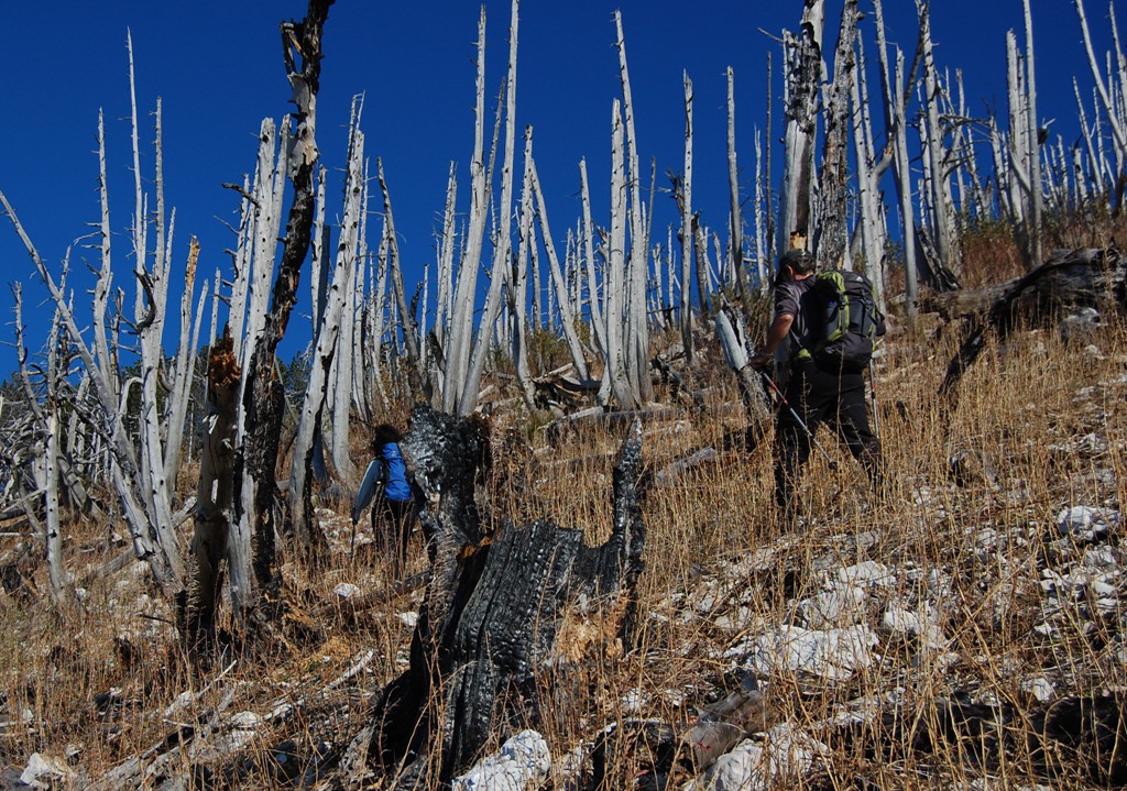
Soon after 8pm we turned off the candle. From the nearby road we heard yet another wood truck crawling about in the dark. When the engine's noise was loudest it went abruptly silent followed by four gun shots very close by. Yet after a short while the engine re-started and it's fading sound said it was leaving. Most likely, after a hard day's work, the lumberjacks were shooting their dinner, perhaps a rabbit or fowl.
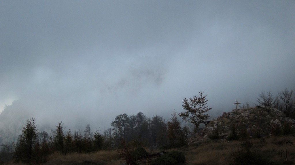
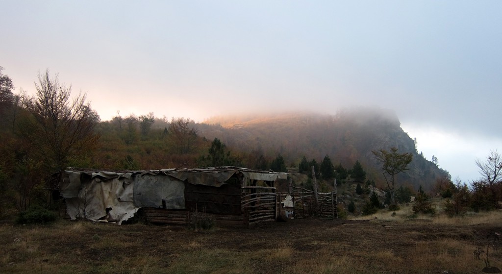
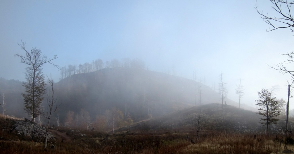
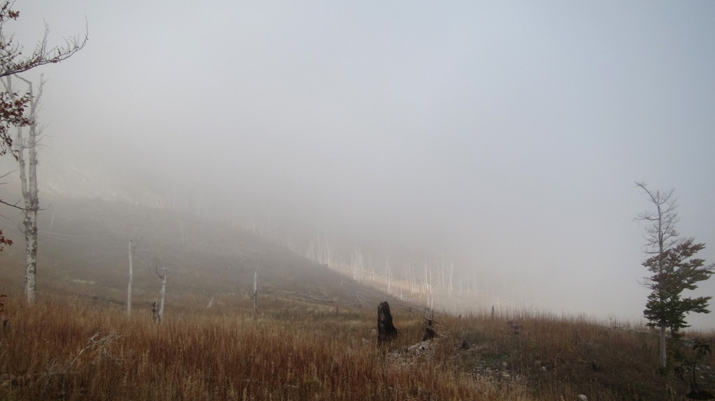
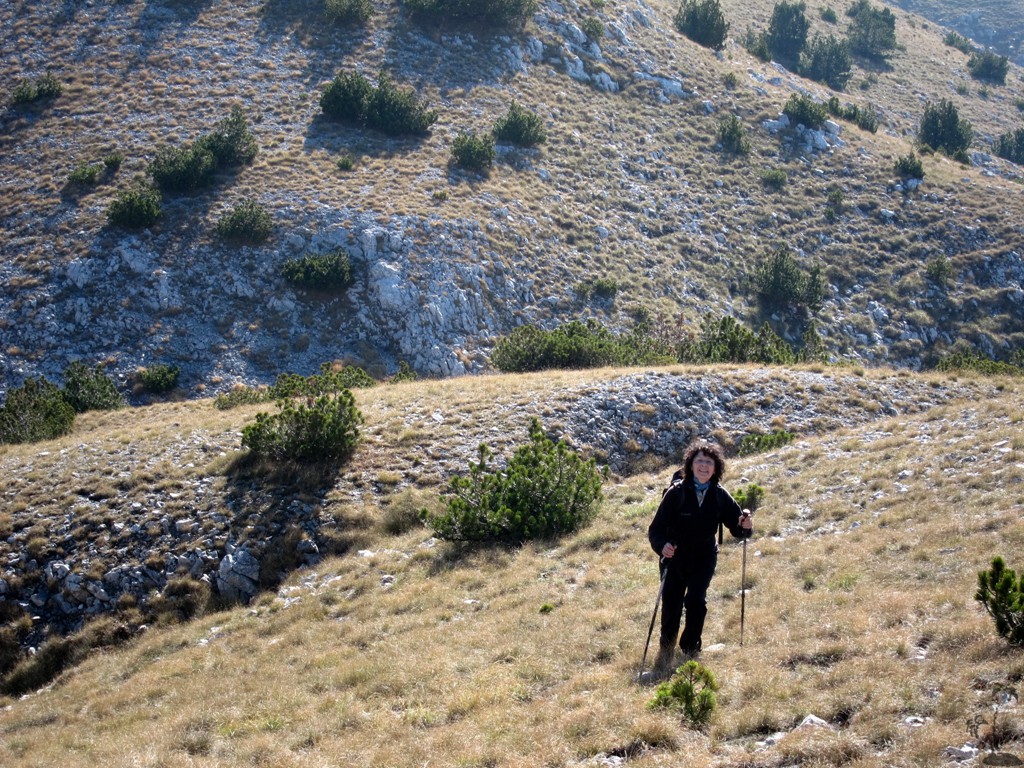
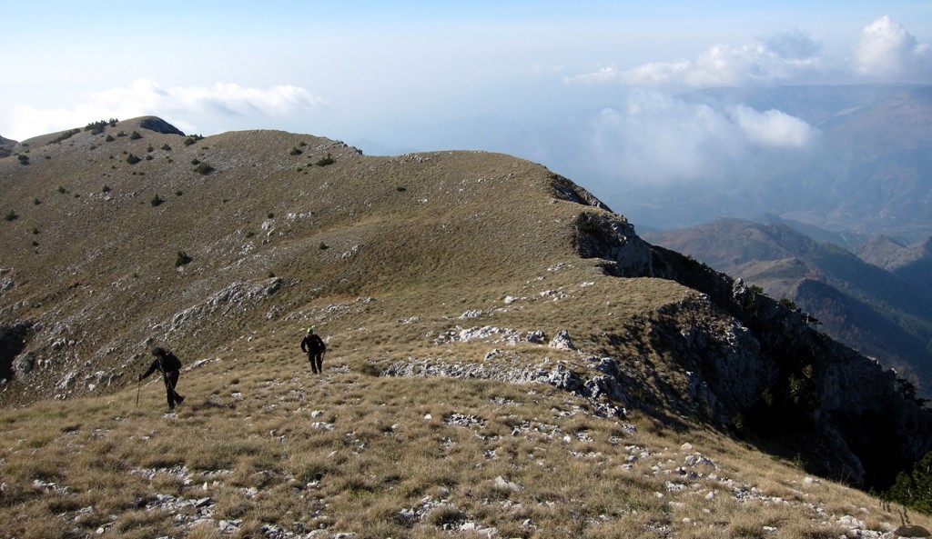
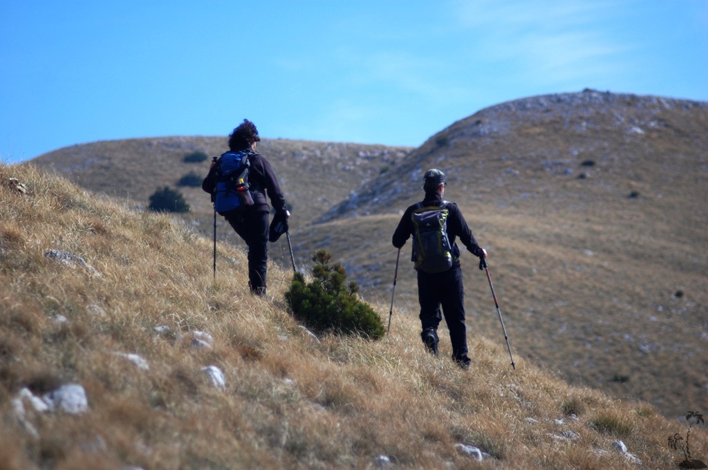
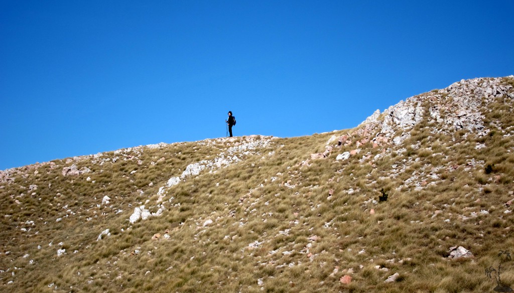
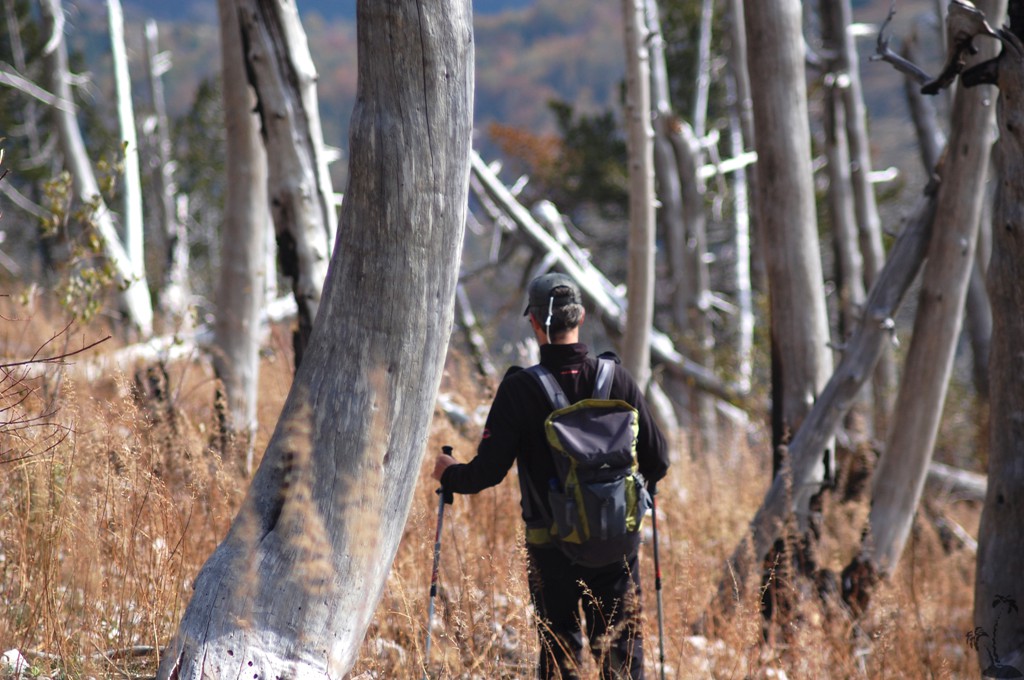
At seven in the morning it was foggy and so was the mountain, so we could take time for breakfast, getting warm and packing our bags. Start was late at around 8.30 am, immediately up a steep trail-less ascent to a first plateau. The clouds lifted and the weather remained glorious through the day.
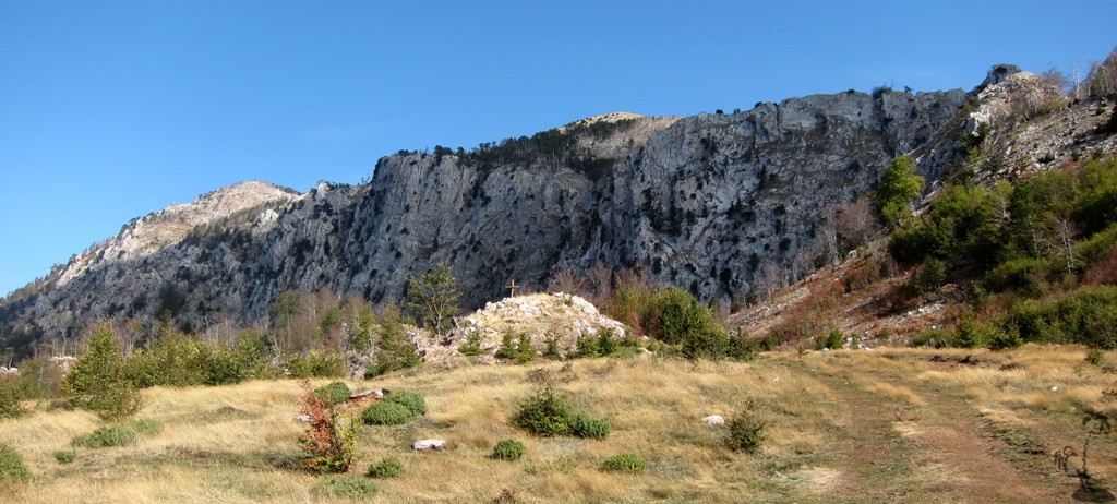
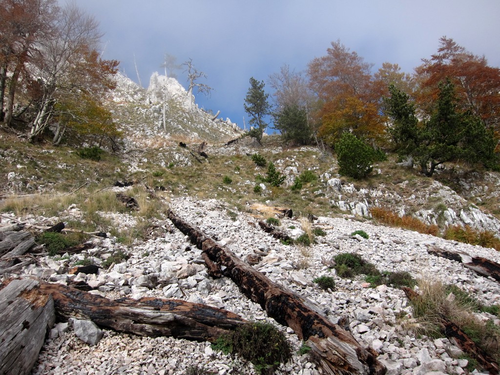
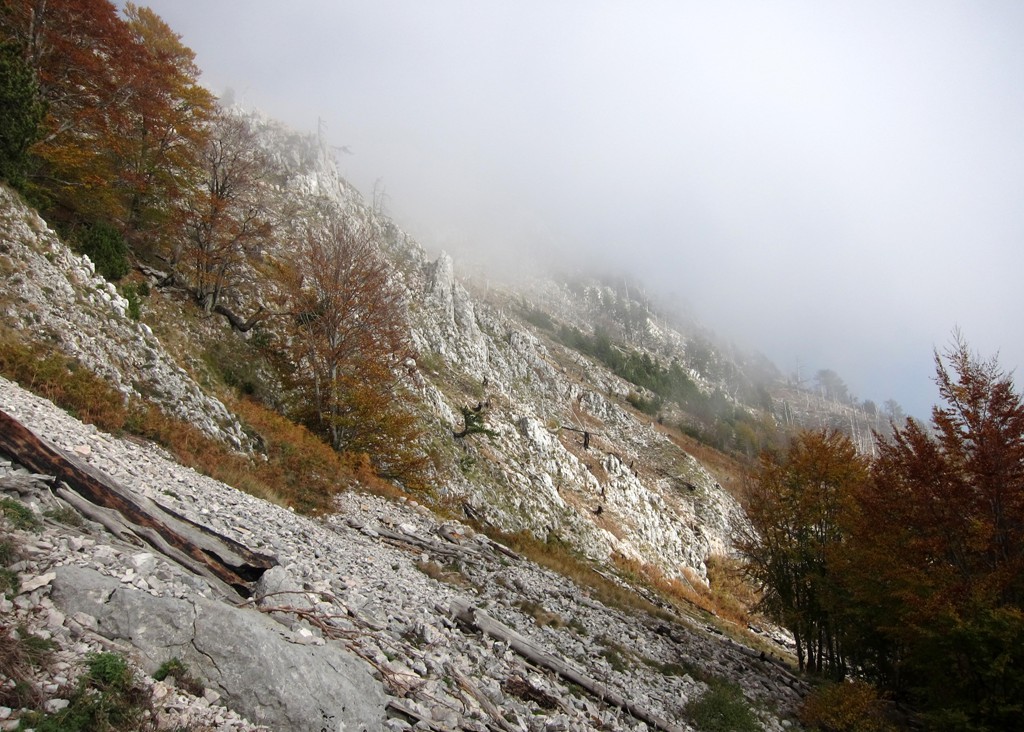
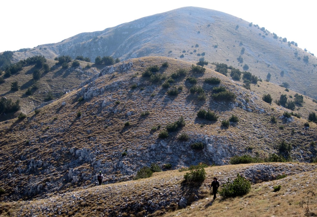
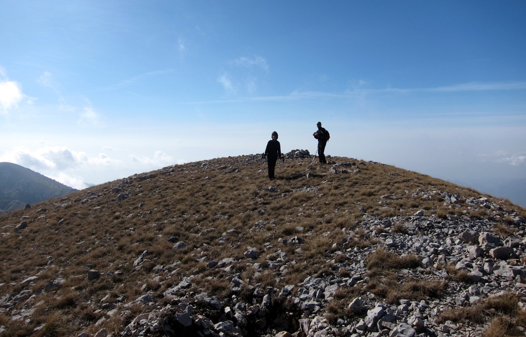
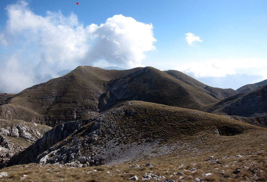
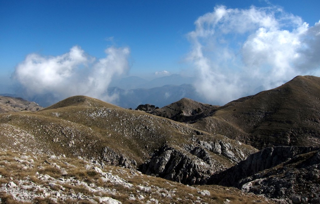
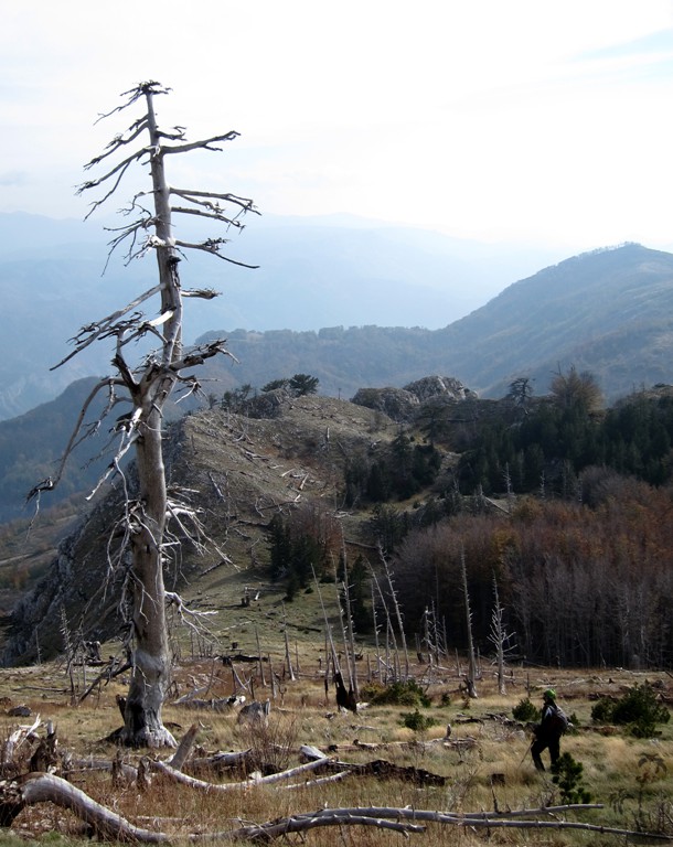
Another ascent of one and half hours brought us to what looked like a plateau on the maps and Google earth, yet it consisted of about eight mountain tops and crater-like sinkholes typical for the Carstic Alps. The big sinkholes measured between 20 and 200 m in diameter reaching 50m or more in depth.
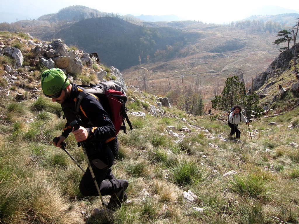
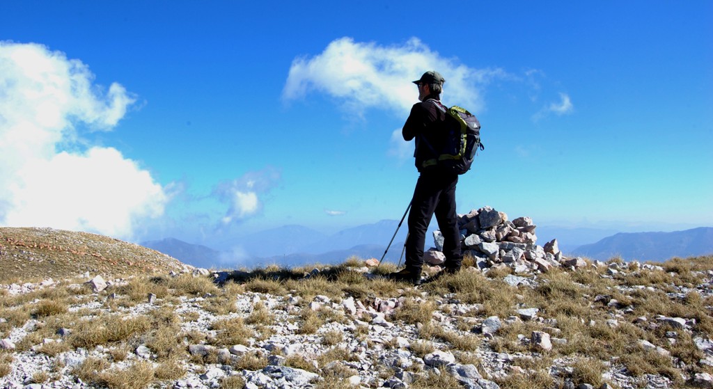
Following the western rim with views to Kimez we hiked through the undulating landscape, trying not to lose too much height while using the bridges between the deep dolines. The last of the four highest points we measured proved to be the summit: Maja e Kryqit. Views reached from Mali i Zebes directly opposite to Mali i Dejës and Lure Mountain in the East, beyond to Korab, further to Galicia and Korritnik and Pashtrik near Kukes, on to the Alps, the Bjeshke Namuna and Malesia e Madhe in the far distance - the latter partly obscured by the haze.
Coming down we met the shepherd who had spent the night in another more solid hut further down. Soon he will move the herd into the valley for the winter in Rreps.
The Drive from Gjegjan to the trailhead: The trail is generally easy, though the last few hundred meters from the shepherd's hut to the trailhead require caution because of the needed ground clearance. If in doubt, leave your car at the shepherd's hut and start walking from there. There are two more ways to the trailhead: one from Rreps, and one from Fushe Arrëz. You may also combine any of the three access routes to a round trip. The road from Gjegjan to Kimez is frequented by huge mining trucks that bring copper ore from the mine at Kimez to Fushe Arrez. Traffic can be busy. In addition, the roads are used heavily by logging trucks. To avoid too much oncoming traffic, it is best to drive up the mountain in the morning, and down in the afternoon. The drive to the shepherd's hut is about 1.5 to 2 hours from Gjegjan.
Note following waypoints:
WP 1: left to Fushe Arrëz, right to the Munella
Trailhead
WP 2: a bridge leads off to the left, but the road is no longer in
use. Go right instead.
WP 3: At the fork, go left (uphill) for the trailhead. Right leads
to Rreps.
WP 4: Turn left for the trailhead.
WP 5: The Shepherd's Hut
| Maximum altitude: | 1497 meter |
| Minimum altitude: | 324 meter |
| Cumulative height: | 1209 meter down |
| Cumulative length: | 20.4 kilometer |
| Difficulty | moderate |
| Time: | 1.5 hours |
| Date of this record | October 2012 |
| Download GPS info: | Gjegjan to Munella trailhead |
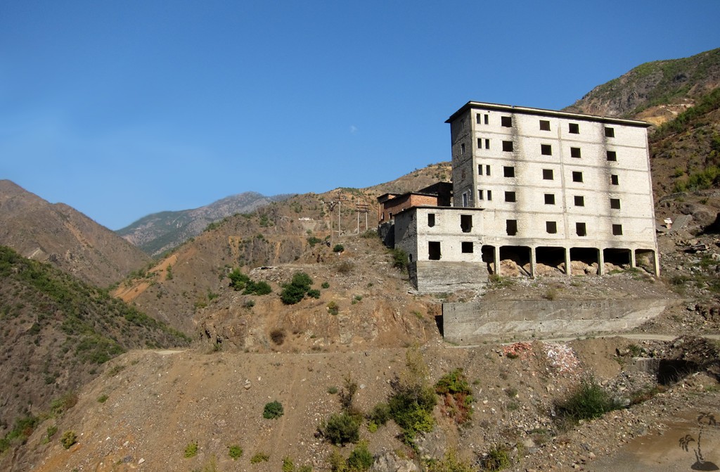
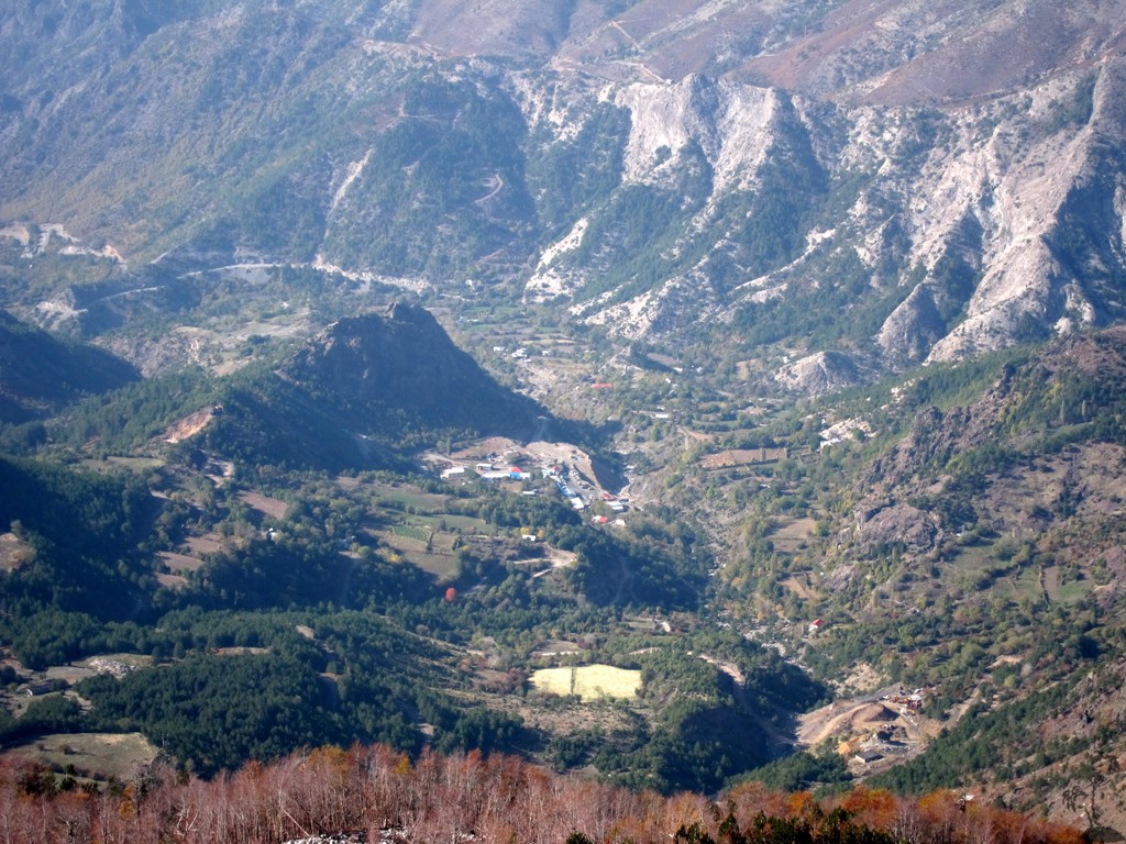
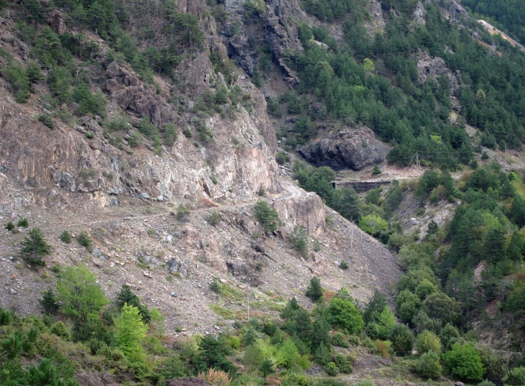
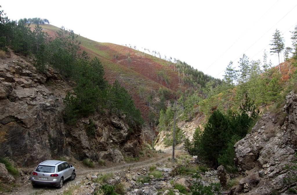
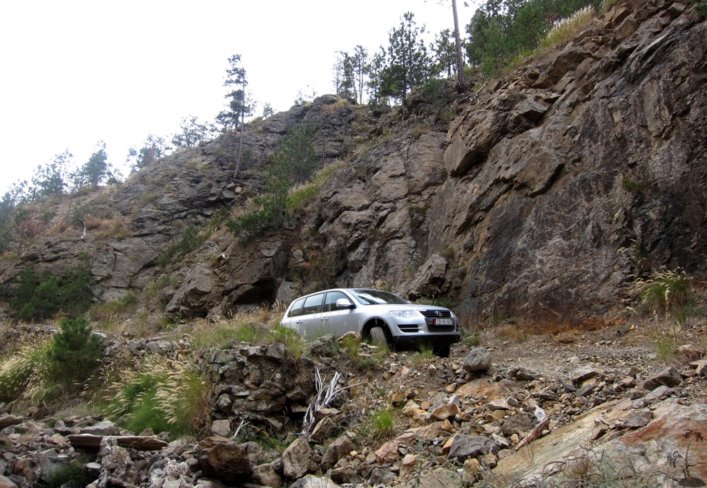
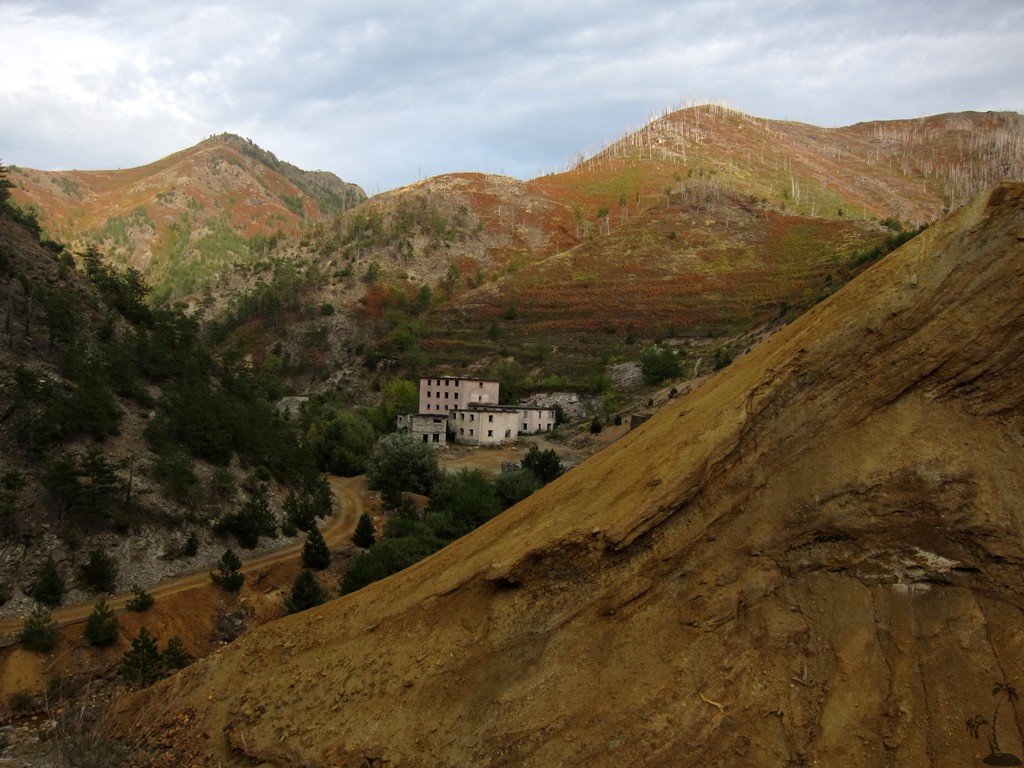
The Drive from Rreps on to Fushe Arrëz: This is the other way from Rreps to Fushe Arrëz (the regular way is from Rreps, via Blinisht, to Gjegjan, Gojan and on to Fushe Arrëz, mostly on asphalt road). This old winding road takes you first to the notorious but now abandonned prison village of Gurth Spaç, then up to a height of 1160 Meter, before descending to the mining town of Kimez.
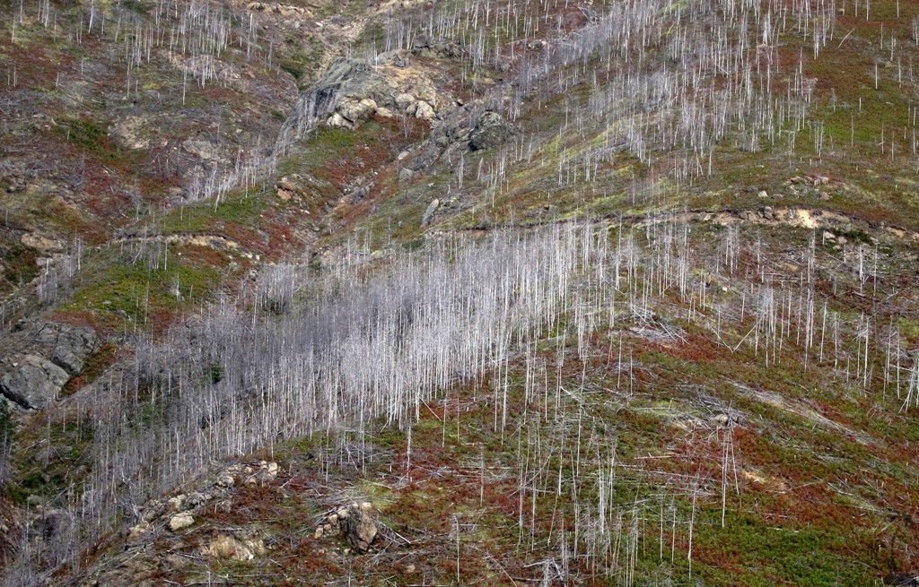
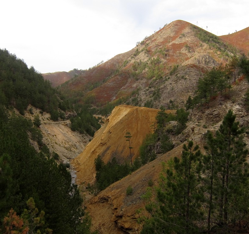
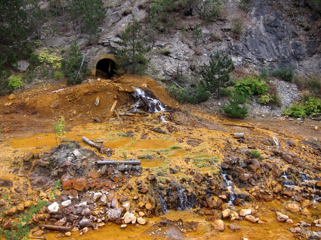
From here it skirts very fragile slopes to more copper mines and thermal springs, on to the villages of Tuç and Lumibardhë before reaching the old road to Kukes near Fushe Arrëz.
There are no serious technical difficulties on this road. The road from Rreps to Kimez is in good condition, except that parts of it are very narrow with precipitous slopes. The roads are sometimes used by logging trucks, and you may be asked to backtrack in reverse for long stretches until a spot where the vehicles can pass. Especially the part from Kimez to Tuç appears to be rarely used. Shortly after Kimez the trail passes slopes prone to mudslides. It might be a good idea to only try it during the dry season.
The trip is a rare mix of mining activities and beautiful mountain forests and scenery. The trail can also be used (either from Rreps or from Fushe Arrëz) to access the trailhead of Munella Mountain. It may take 3.5 hours to travel from Rreps to Fushe Arrëz on this trail
| Maximum altitude: | 1150 meter |
| Minimum altitude: | 233 meter |
| Cumulative height: | 1338 meter |
| Cumulative length: | 43 kilometer |
| Difficulty | moderate |
| Time: | 3.5 hours |
| Date of this record | August 2012 |
| Download GPS info: | Across Munella Mountain |
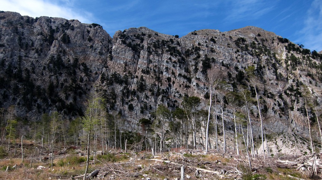
The climb up Mali i Munellës: The trail from the south may not be the shortest trail to (either of) the summits, and possibly not the easiest. We heard that there was a more regular trail from the east, and people from Fushe Arrëz and Puka thought that a trail exists from the North. Having surveyed the summit plateau, we neither found another evident trail nor another obvious route.
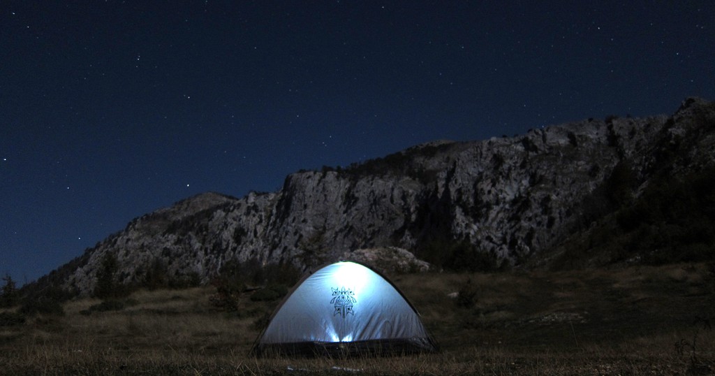
The trailhead starts at a logging road. A few hundred meters along the road, before the trailhead, there is a shepherd's hut, with water. The hut was vacated the same morning for the winter, and we camped there. The trail is not very long, and elevation gain is modest, but route finding might be problematic when visibility is poor. The ascent from the trailhead to the ridge is very steep, and is best undertaken in dry weather. Note that the trail is marked as a balloon hike.
| Maximum altitude: | 1996 meter |
| Minimum altitude: | 1471 meter |
| Cumulative height: | 769 meter |
| Cumulative length: | 8.4 kilometer one way |
| Difficulty | moderate |
| Time: | 3.5 hour up |
| Date of this record | October 2012 |
| Download GPS info: | Mali i Munellës |
General location and approach: Whatever you chose to do, you will have to go through Rreps, on the Rreshen-Kukes highway. From there either go straight up to the trailhead and return via Kimez or Fushe Arrez. Or, from Rreps, continue on broken asphalt to Gjegjan, and drive from there to the trailhead and back either directly to Rreps or to Fushe Arrëz.
Other Information: There can be heavy traffic of mining and logging trucks, particularly on the Kimez road. There is very to no traffic on the Kimez-Fushe Arrez stretch, which makes for easier driving and less help if you need it. When approaching the trailhead, groundclearance can become an issue. You may leave your car at the shepherd's hut and walk from there.
GPS and trailmaps: The map and trailinformation is generated by www.wikiloc.org, based on GPS information collected from the actual hike. Waypoints can be downloaded to a GPS device from Wikiloc. If necessary, use GPSBabel to convert GPS data to different formats. For more hike descriptions by Palmtreetreeproduction, browse this website or visit Wikiloc and search for "Palmtreeproduction". You may also find nearby trails from other authors.
Google Earth: You may also view the trail in 3D by viewing it directly in Google Earth. You need to have Google Earth installed on your computer. Activate "wikiloc"in the "Gallery" menu in Google earth.