PALM TREE PRODUCTIONS
back to Albania site back to hikes and climbs back to Locations and Travel
Voskopojë, Marjam, Lekas and Maja e
Ostrovicës![]()
![]()
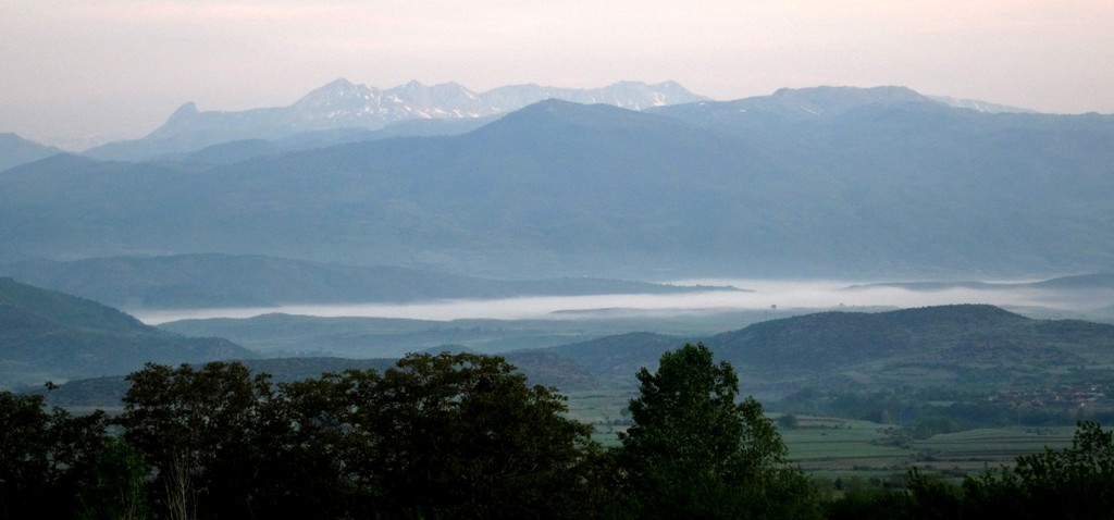
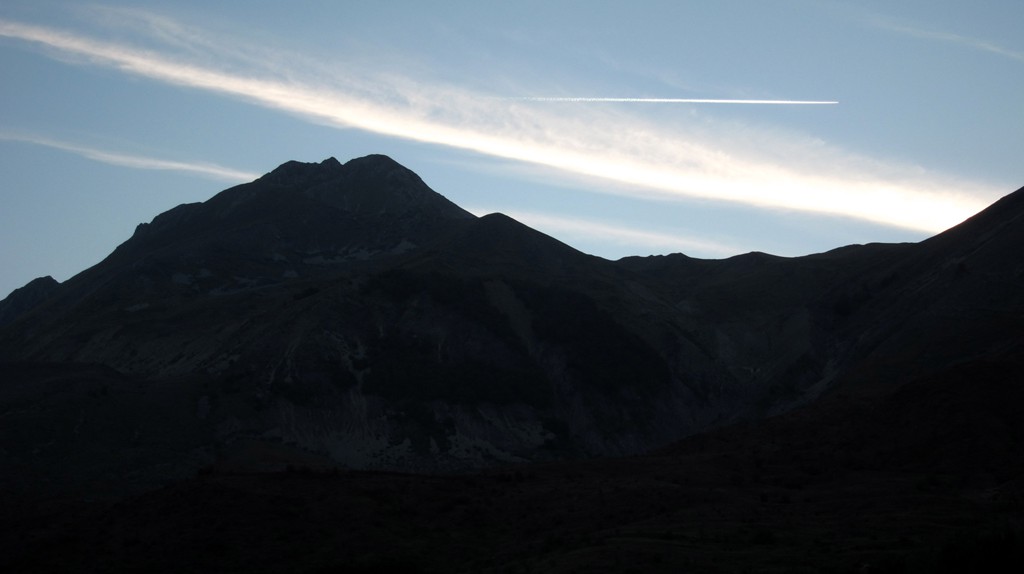
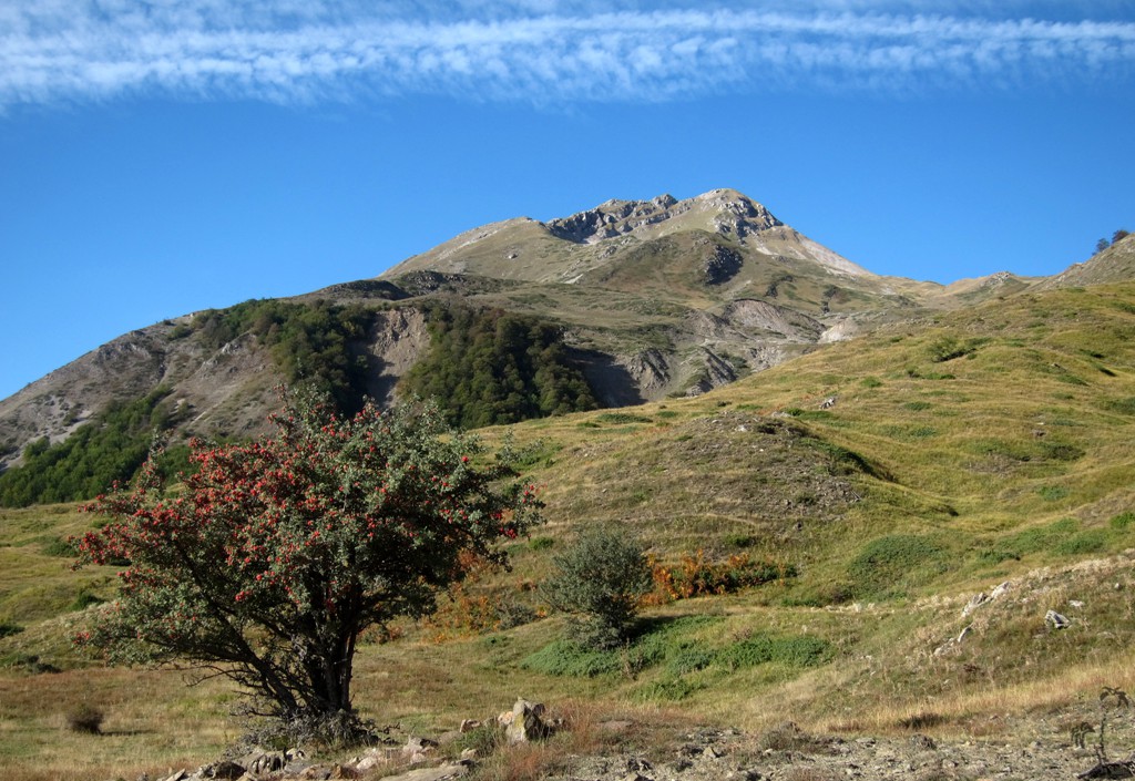
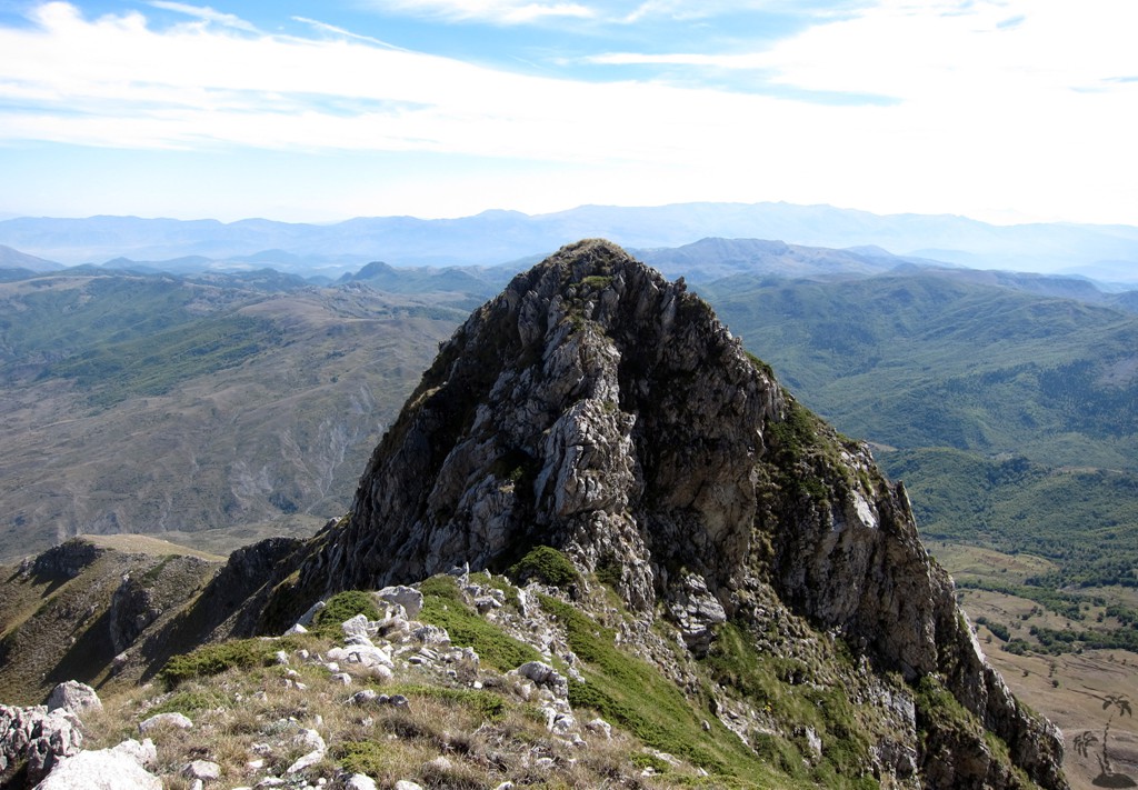
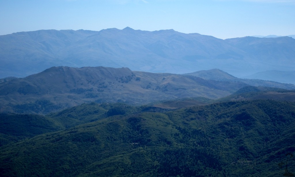
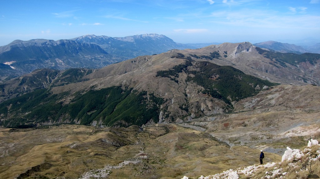
Summary: Hardly anyone seems to know where Ostrovicë Mountain is. There is even wild disagreement on various maps as to its altitude or the highest point of its long summit ridge. From all the mountains in the south of Albania, Ostrovicë must rank among the most remote, certainly among the most beautiful, and also among the most challenging peaks. Mali i Ostrovicë is one of the most interesting mountains in southern Albania.
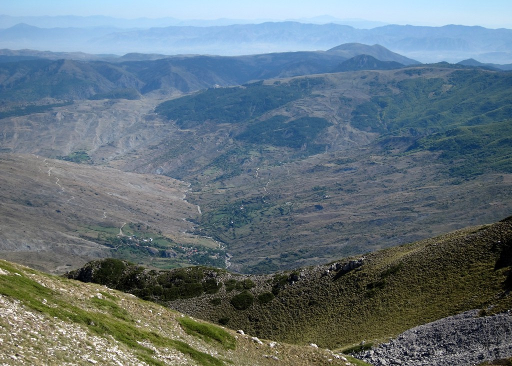
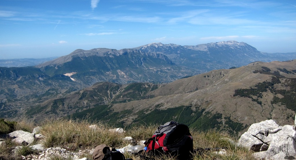
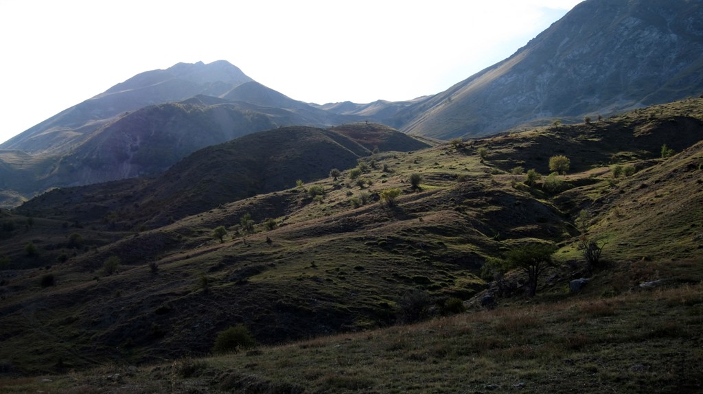
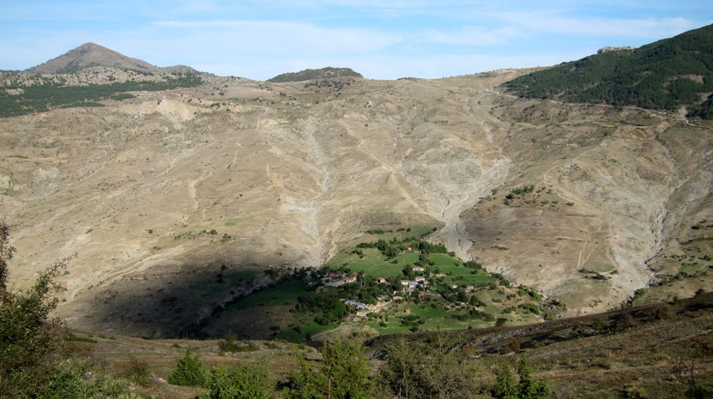
In spite of its very impressive height of 2362 Meter, Ostrovicë seems to hide in the vast hinterland between Korca, Gramsh, and Corovode. The best view of it can be had from Korca area, or better from the resort in Dardhe near Korca.
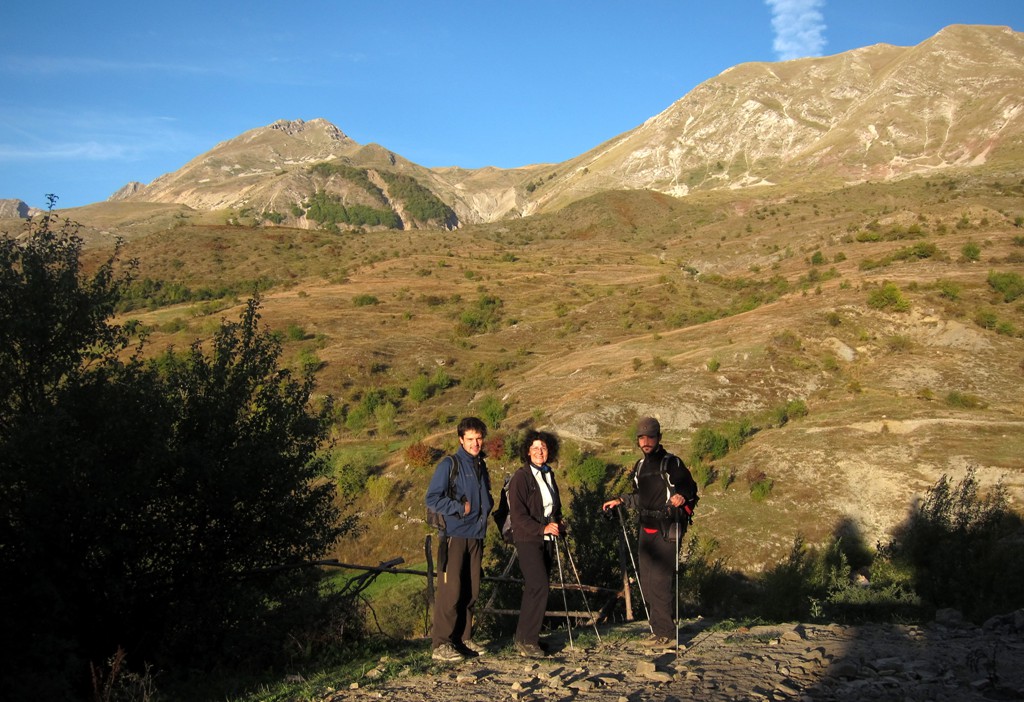
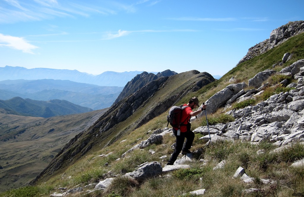
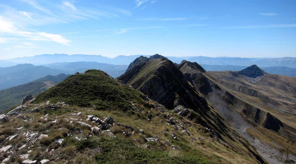
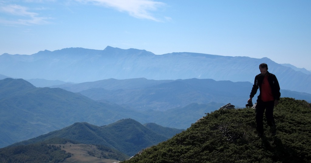
For those inclined to scale the mountains of Albania, Ostrovicë however remains unmistaken. While many mountains of southern Albania look like a loaf of bread, perhaps with a little pyramid on top, Ostrovice is a long jagged ridge that seems impossible to traverse save for serious and fully equipped rock climbers. Even the hike to only its main summit is a steep undertaking.
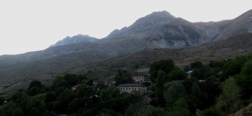
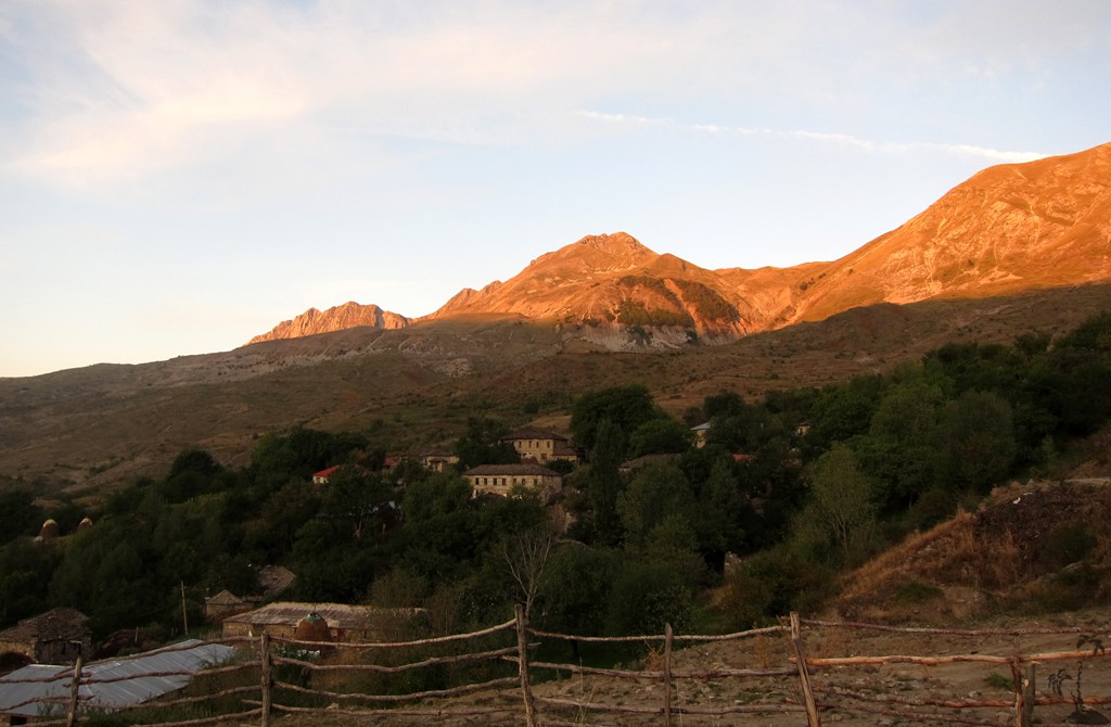
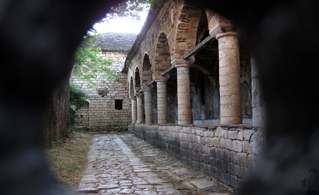
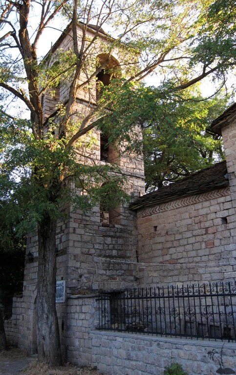
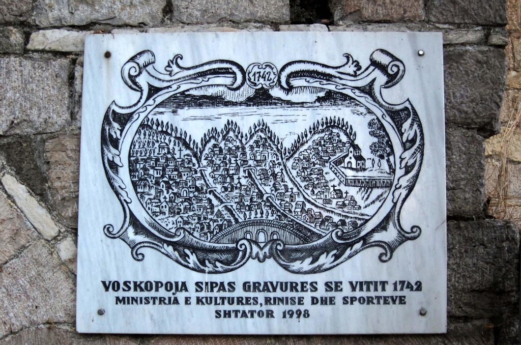
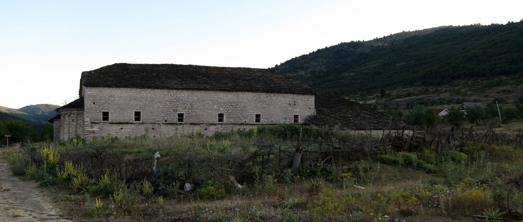
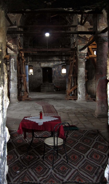
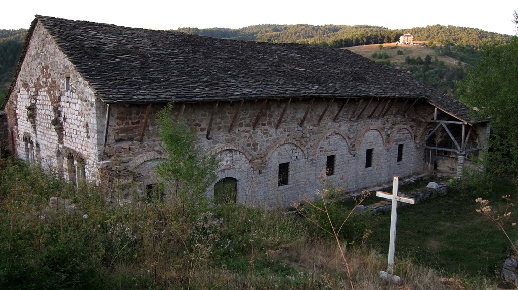
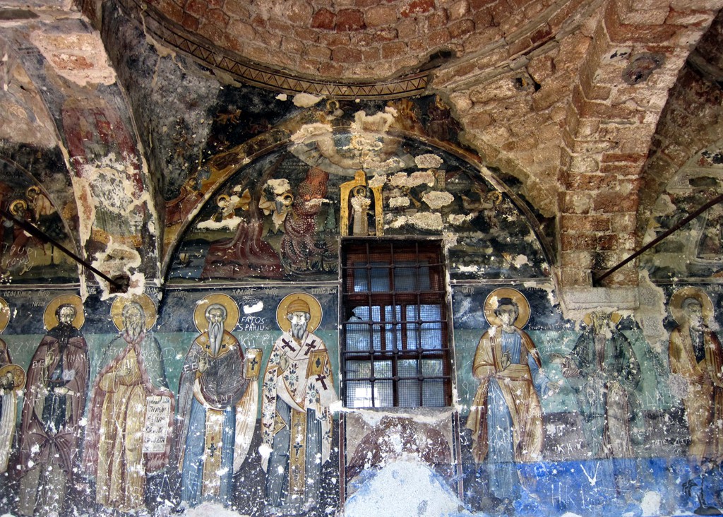
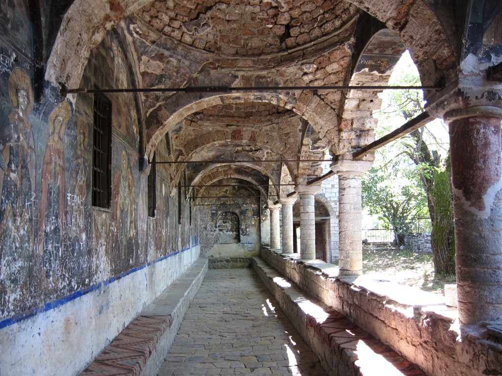
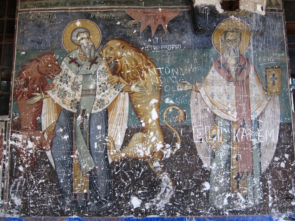
Voskopoje has seen past glory, and still sees many visitors today. We were a little dissapointed by the state of the monuments and general neglect in the village. Perhaps the time will come, where many of the old churches and monuments will be restored and opened to the curious.
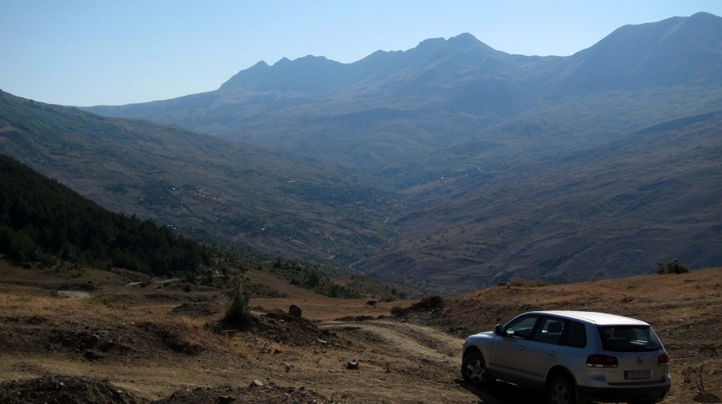
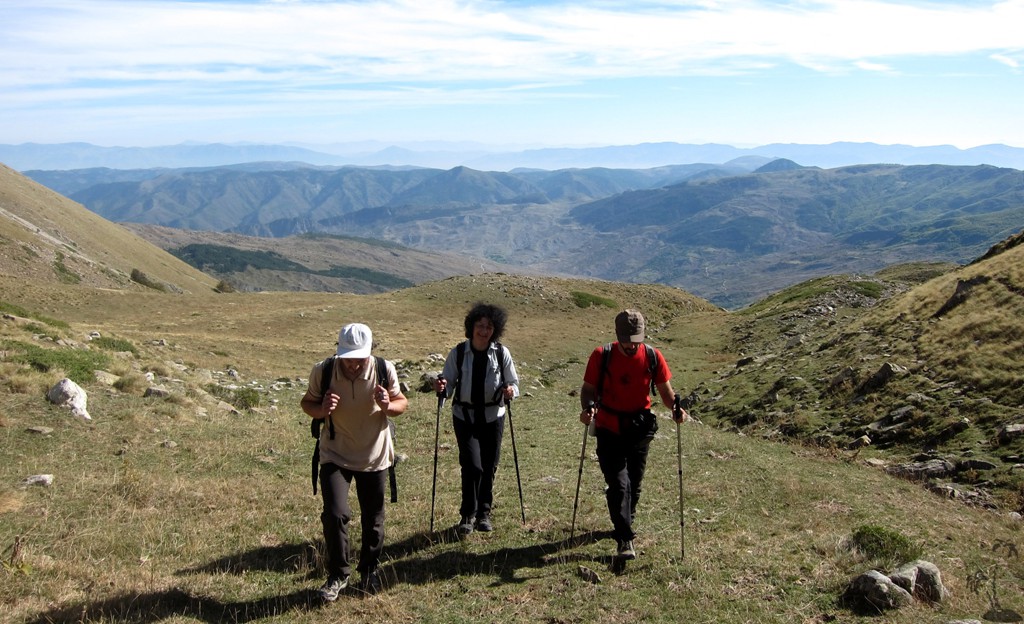
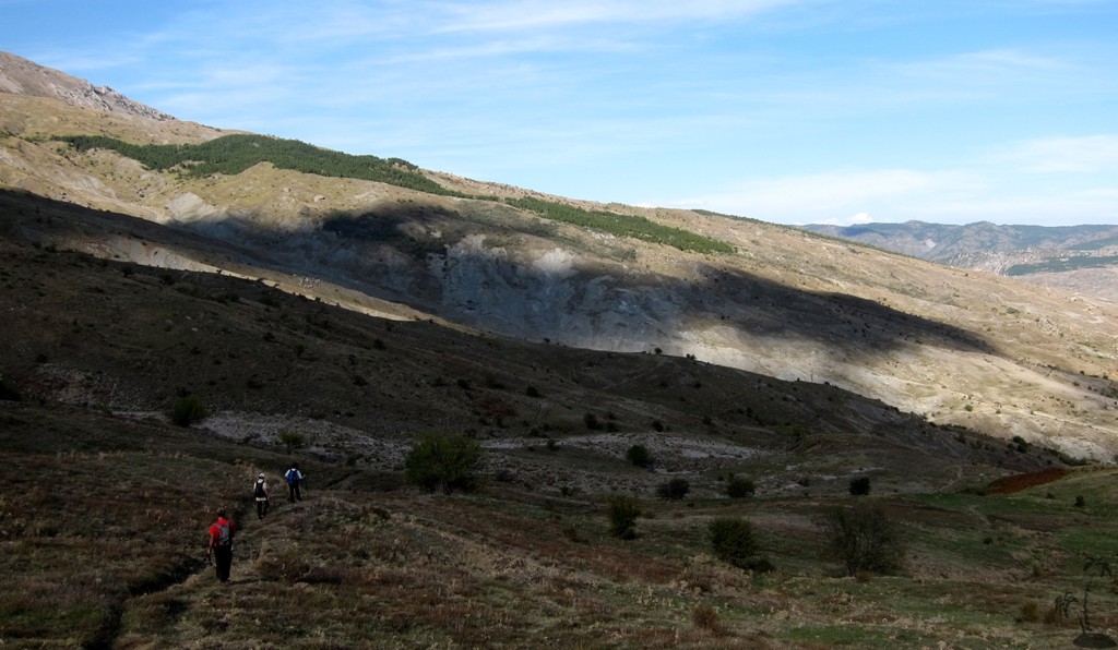
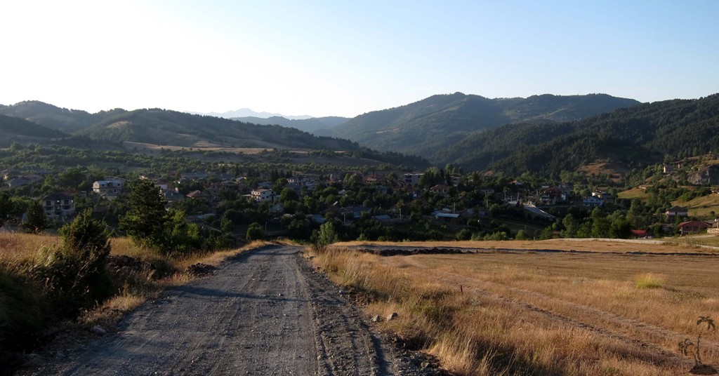
The Drive: The drive to the trailhead starts at Voskopoje, which sees many visitors, not least because it is now connected with a new tarmac road to Korca. Those with a 4WD vehicle may wish to explore more of the hinterland, and take a close look at Ostrovice mountain, even if you don't climb it.
Just before reaching Voskopje, turn left on a dirt road signposted to Lekas. After a little more than 12 kilometer, you reach a pass with glorious views towards the jagged ridgeline of Ostrovice mountain. The main track continues right (towards Lekas) and is the route you will return.
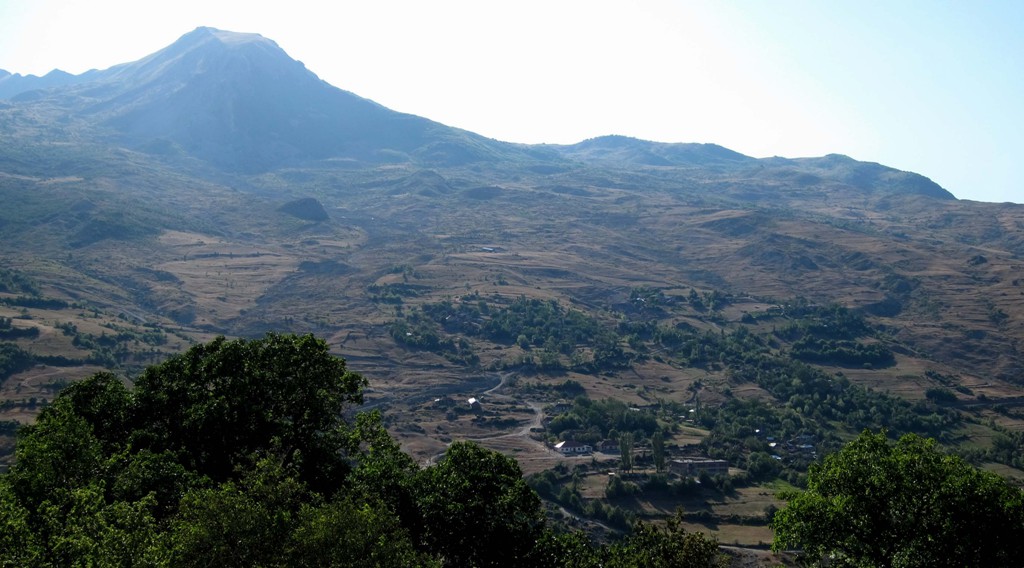
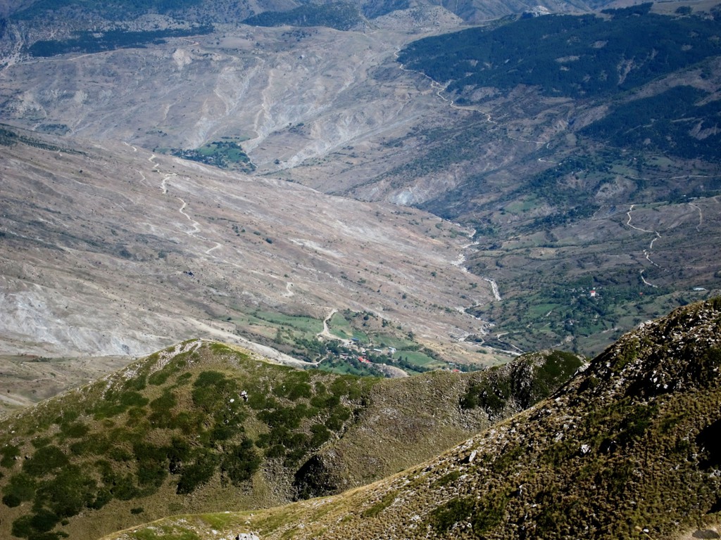
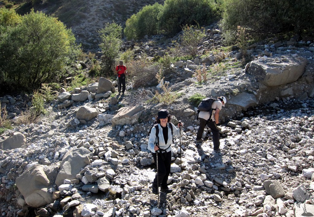
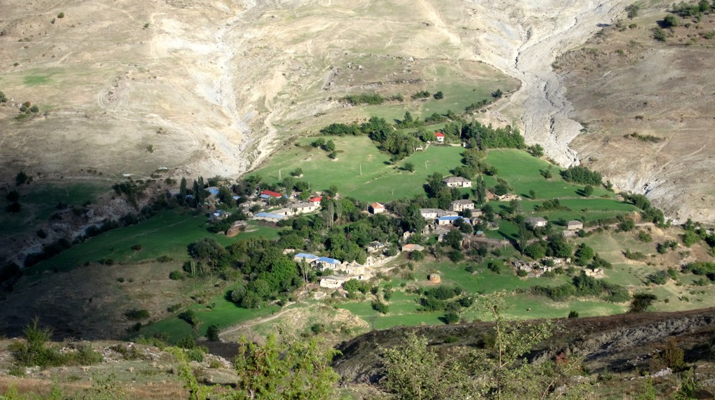
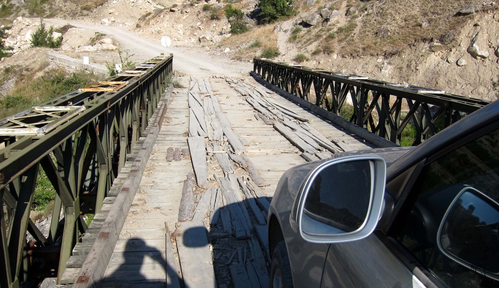
Taking the left fork at the pass, you will reach the village of Gjonbabas, after a little more than 5 kilometer. From here, head straight ahead down a narrow lane towards the Cemerice River, which is best forded rather than taking the bridge (which could be an option at high water). On the other side of the river, you reach the village of Marjam, and the most difficult part of the 4WD trail uphill is through the the village.
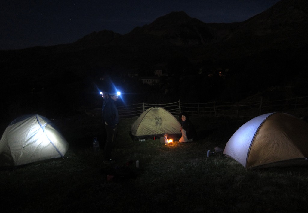
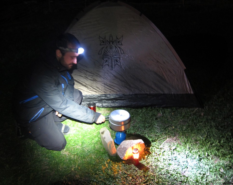
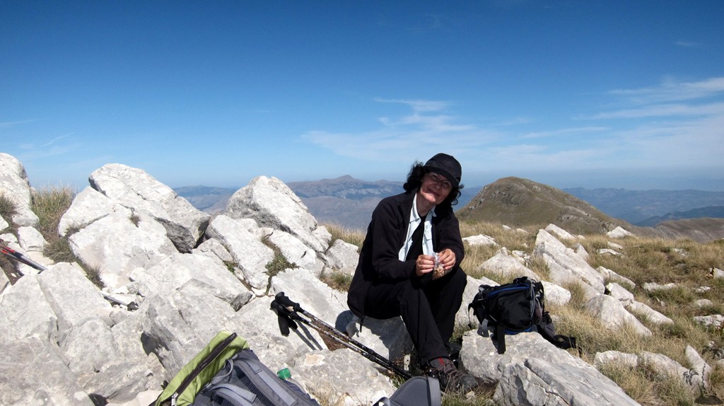
The trailhead for climbing Ostrovicë Mountain is at the end of the village. This is also a good place to camp on one of the meadows (it is a good idea to ask for permission).
From here, the road to Lekas is somewhat better. From Lekas, cross the bridge across the river back to the junction, and back to Voskopoje.The roundtrip may take 3.5 hours or more.
Most of the trail is easy for a high clearance vehicle. The crux is the short drive through Marjam village. If your destination is the trailhead of Ostrovicë, and you are not sure about your car's capabilities, it might be a good idea to drive the loop anti-clockwise.
Not that the trail is marked as a ballon hike, ending at the junction of Gjonbabas and Lekas. To return to Voskopoje, add another 12.5 kilometer to the trail.
| Maximum altitude: | 1477 meter |
| Minimum altitude: | 957 meter |
| Cumulative height: | 1062 meter |
| Cumulative length: | 32 kilometer |
| Difficulty | moderate |
| Time: | 3.5 hours |
| Date of this record | September 2012 |
| Download GPS info: | Voskopje to Ostrovice |
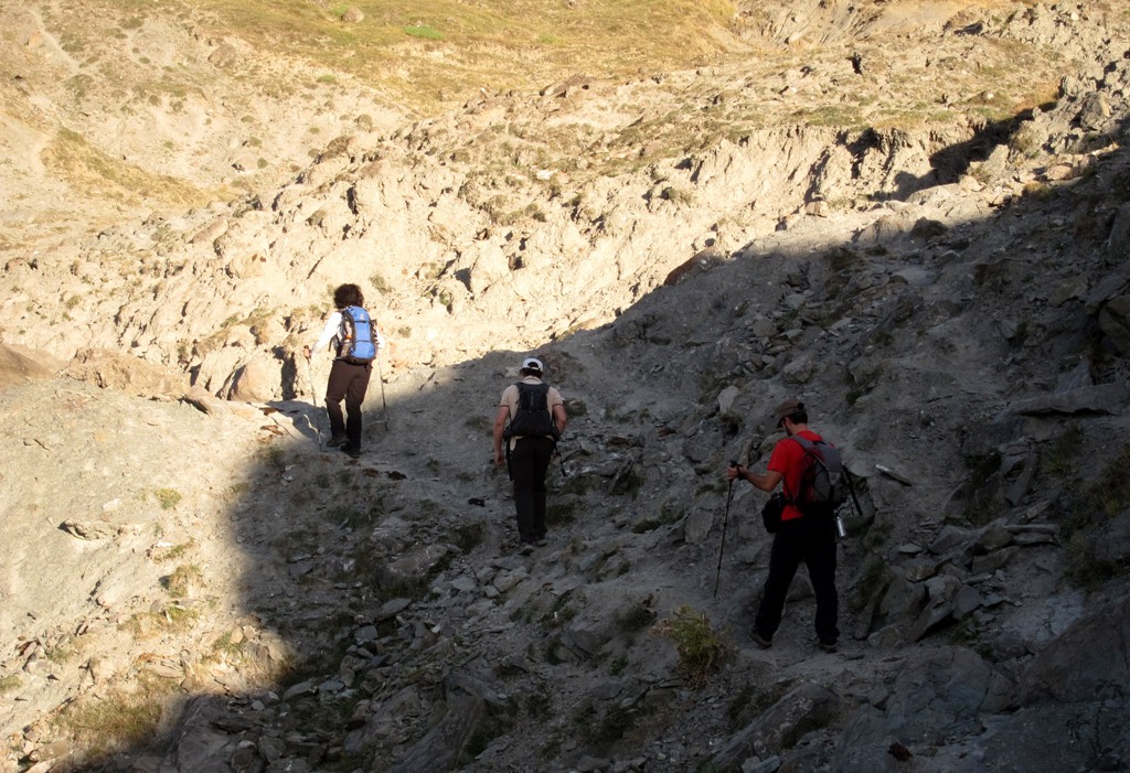
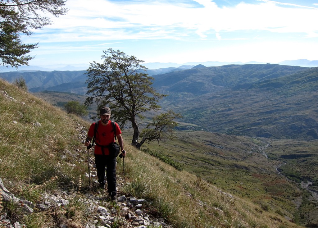
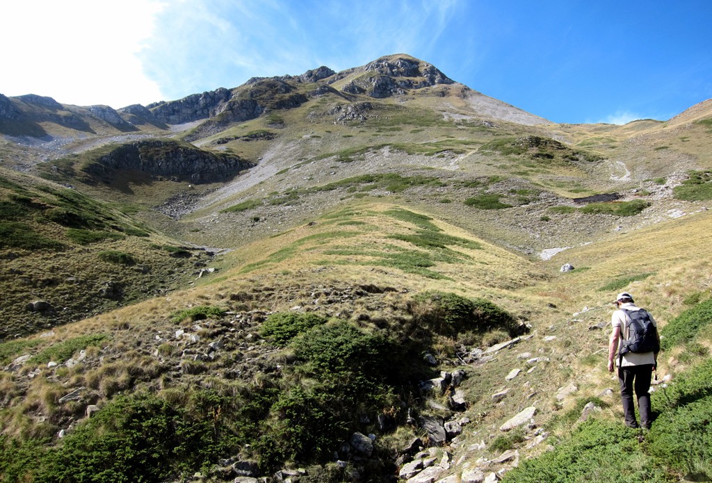
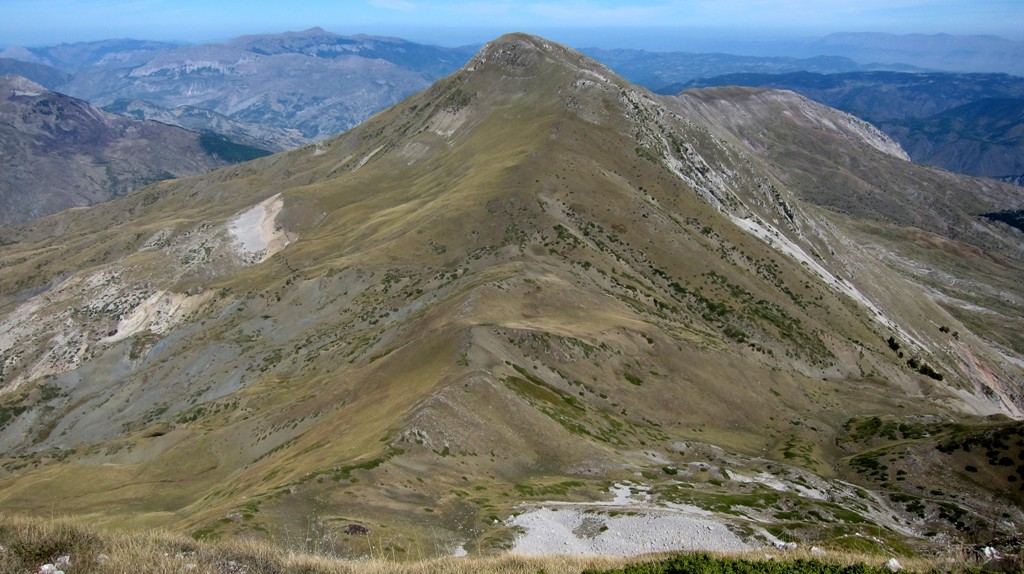
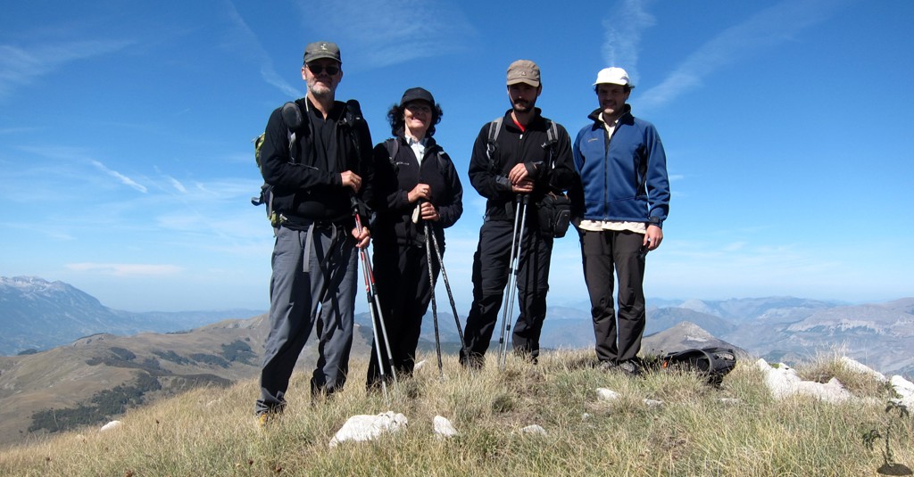
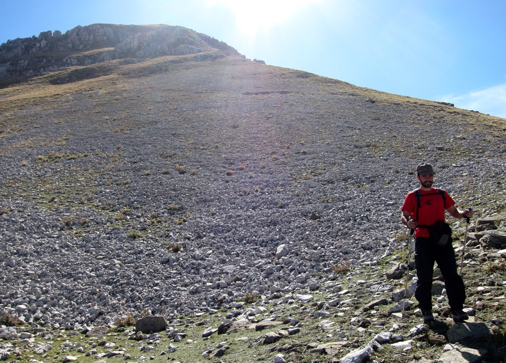
The climb: From the base of the summit pyramid, at about 2000 Meter elevation, we followed the north-east ridge leading directly to the summit, often climbing through the steep grassy slopes to its left (southern) side. To the left of our route is "Ric's Ridge", less steep but considerably more exposed and requiring more nerve than our route. See relevant trail published by ZalaZ.org.
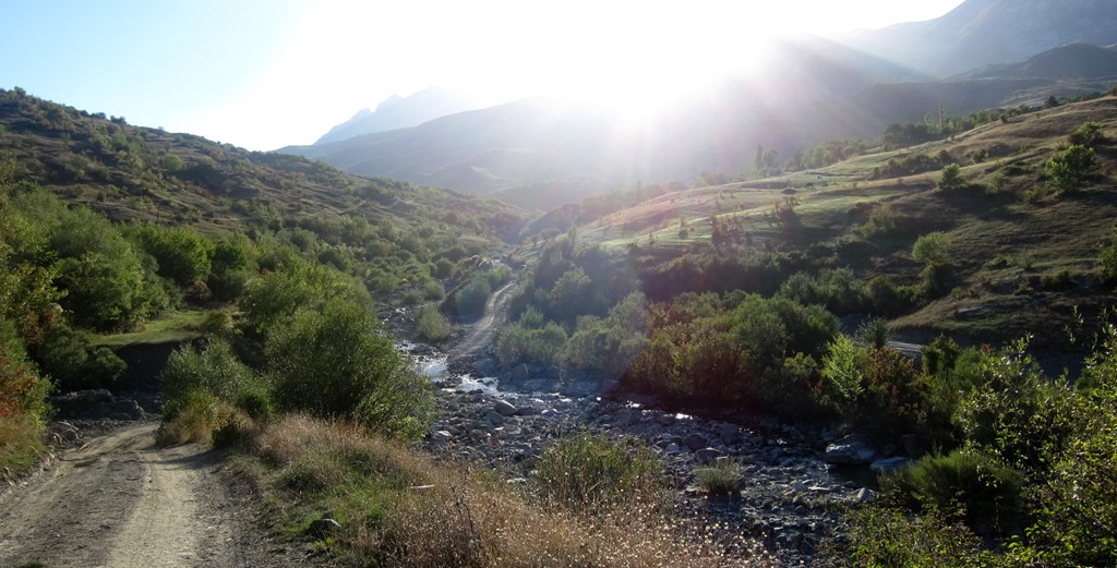
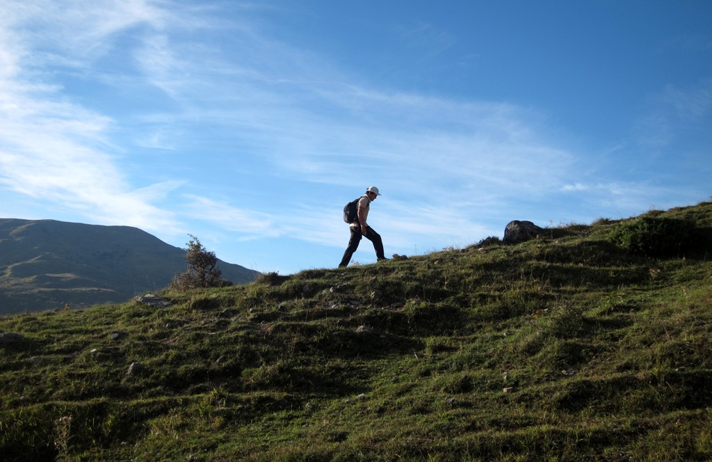
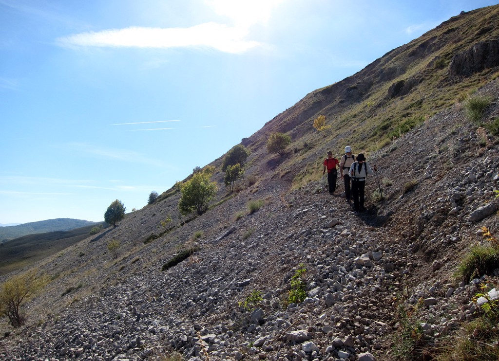
For our return we selected the north ridge, a very steep descent. To return to Marjam, we completed a figure 8 trail, along pleasant meadows and cattle trails.
| Maximum altitude: | 2362 meter |
| Minimum altitude: | 1209 meter |
| Cumulative height: | 1253 meter |
| Cumulative length: | 12.4 kilometer roundtrip |
| Difficulty | moderate |
| Time: | 4.5 hours up |
| Date of this record | October 2012 |
| Download GPS info: | Ostrovice Climb |
General location and approach: Access to Ostrovicë's main summit is best from the hamlet of Marjam. There are no facilities in Marjam, and one should be prepared to camp after having asked for permission. A 4WD vehicle is required to reach Marjam.
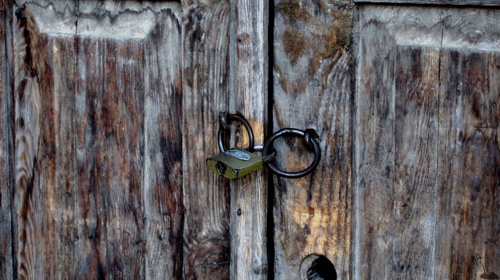
The churches (and entire history) of Voskopoje warrants a longer stay. All churches are locked and it may take an effort to find the persons with the keys.
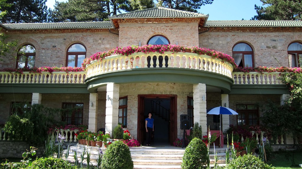
Hotel Academia (or a few other hotels) in or near Voskopoje offer reasonable accomodation.
Other Information: Many summits of Ostrovicë appear to have the same or similar height of the main summit. The higher elevation of the main summit over the northern summit has been confirmed by ZalaZ.org. For an alternative ascent over Ric's Ridge, see ZalaZ.org.
GPS and trailmaps: The map and trailinformation is generated by www.wikiloc.org, based on GPS information collected from the actual hike. Waypoints can be downloaded to a GPS device from Wikiloc. If necessary, use GPSBabel to convert GPS data to different formats. For more hike descriptions by Palmtreetreeproduction, browse this website or visit Wikiloc and search for "Palmtreeproduction". You may also find nearby trails from other authors.
Google Earth: You may also view the trail in 3D by viewing it directly in Google Earth. You need to have Google Earth installed on your computer. Activate "wikiloc"in the "Gallery" menu in Google earth.