PALM TREE PRODUCTIONS
back to Albania site back to hikes and climbs back to Locations and Travel
Mali i Palleshit![]()
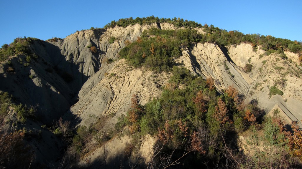
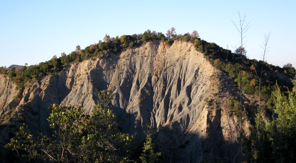
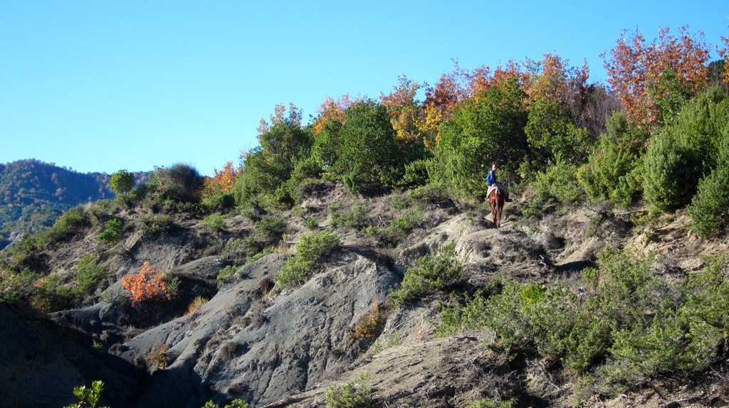
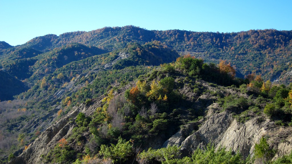
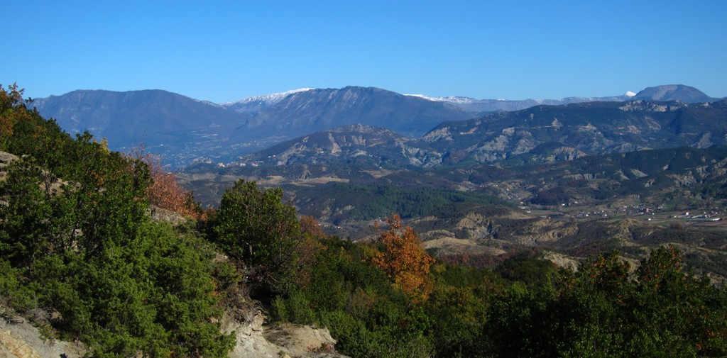
Summary: Mali i Palleshit is more of a ridge with several highpoints all just exceeding 500 meter altitude. The ridge itself is not easy to walk because of vegetation and uncomfortable rocky terrain. The intrepid hiker will have to pick just one of the highpoints and aim for it - and this is what we did.
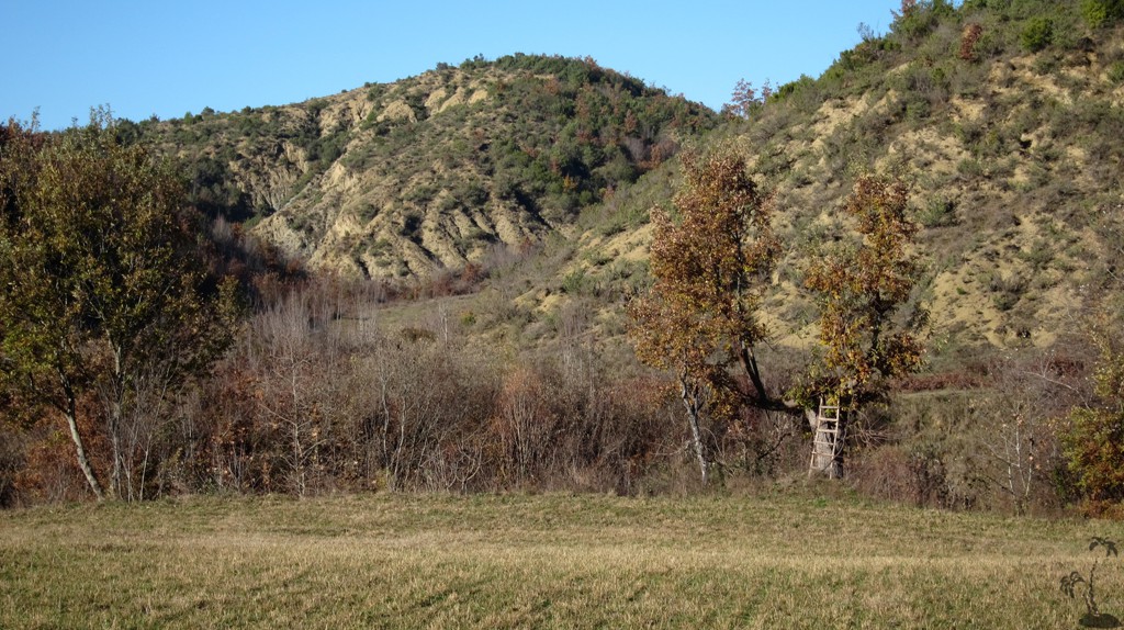
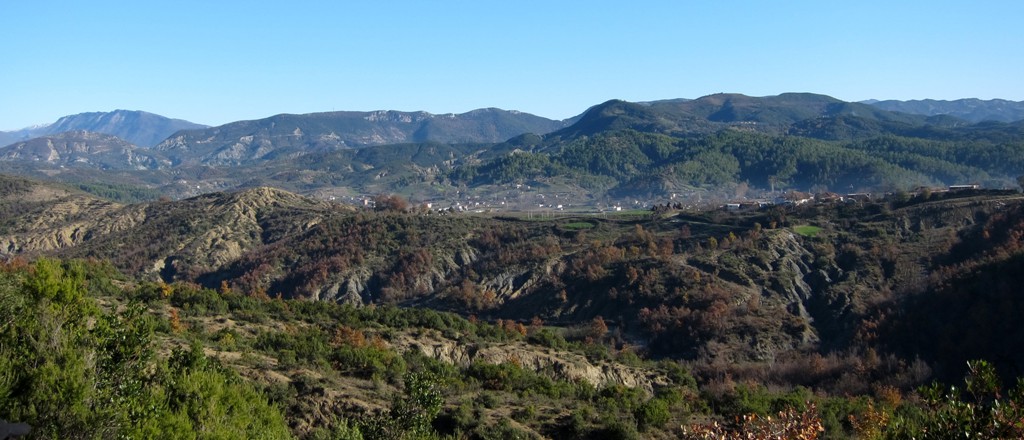
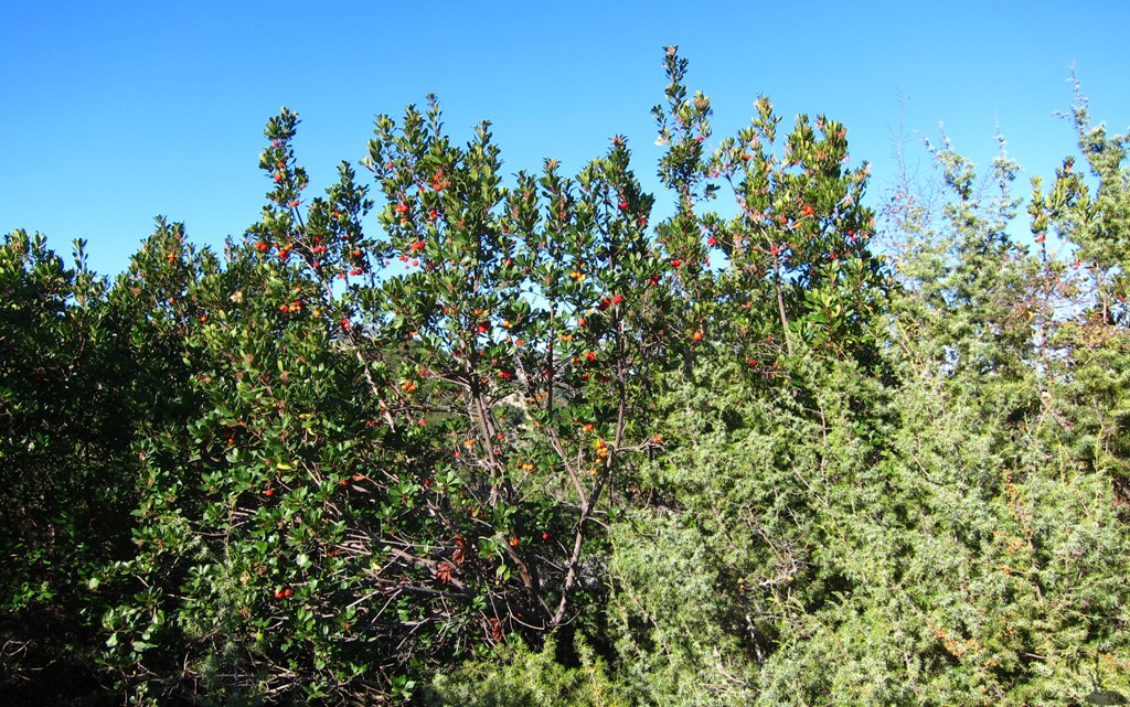
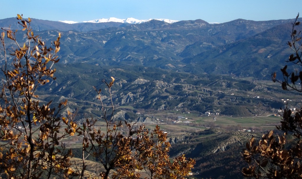
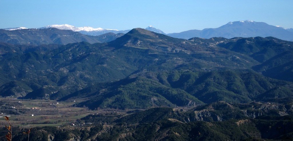
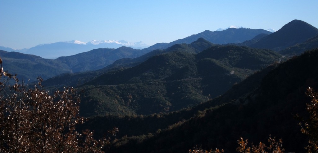
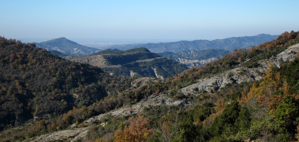
Mali i Palleshit connects with Vrap mountain in the south and Dorez Castle in the north. It is part of the heavily eroded ridgelines west of Tirana or Petrele. We have been hiking many peaks and erosion rambles in the area, and it is possible to develop a particular taste for it.
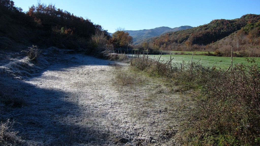
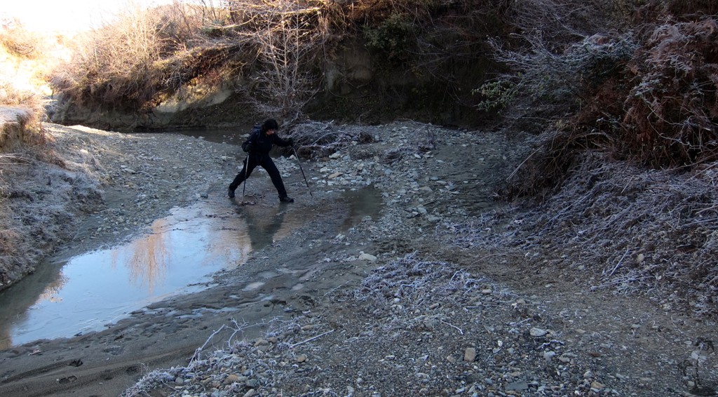
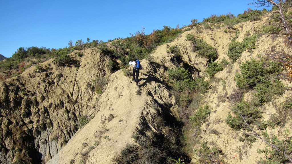
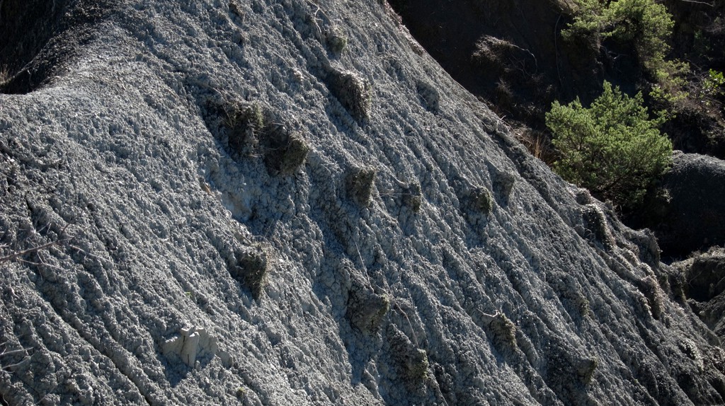
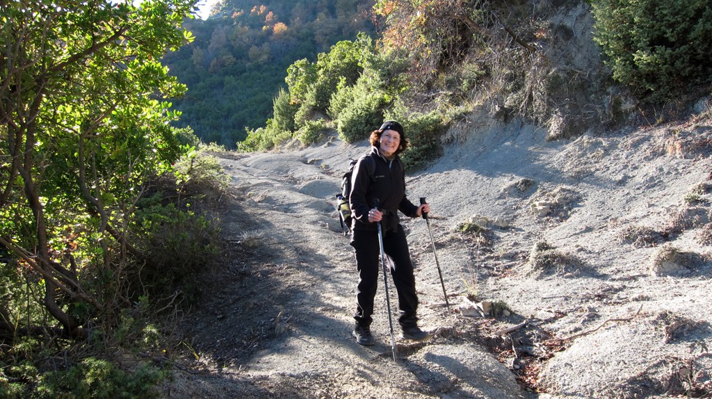
For once, these relatively low altitude hikes can be done in winter (though might be too hot to do in July and August), they are close to Tirana, and they often give a glimpse into the agricultural life in the area. Importantly, they can be quite challenging due to the sheer drops on one or both sides, and the routes may change slightly from year to year as the ongoing erosion eats its way into the trails. This was the case with our trip to Palleshit, where we had selected a particular ridge for our return, but had to abandon it and retract for an alternative way home.
Some parts of the trail look like dirt roads on the satellite images (Google Earth or Google Maps), but most of them are too eroded to be used by any car any more.
Notes:
-
Between waypoint 03 and 04, the original trail is gone. Follow the diversion as indicated.
-
Another path (used by horses) crossed the ridge. It joins our trail at waypoint 05, and leaves it at waypoint 06.
-
Exercise caution at waypoint 07, due to steep drops and overhanging soil.
-
At waypoint 10, make a sharp turn to ascent to a (false) summit.
-
At waypoint 12, a wide path seem to suggest a shortcut down the mountain. Do not follow it.
-
Waypoint 15 is our summit of Mali i Palleshit. The next candidate for the potential highest point on the ridge is another 800 meter away (one way!).
-
At waypoint 16, it is tempting to follow the path (left) down the ridge. After several hundred meters, erosion has blocked the path.
| Maximum altitude: | 518 meter | ||||||||||||||||||||||
| Minimum altitude: | 137 meter | ||||||||||||||||||||||
| Cumulative height: | 512 meter | ||||||||||||||||||||||
| Cumulative length: | 12.4 kilometer | ||||||||||||||||||||||
Difficulty
| moderate |
Time:
|
6 hours |
Date of this record |
December 2013 |
Download GPS info: |
Palleshit |
|
| |
|
|
|
|
|
|
|
|
|
|
|
|
|
|
General location and approach: Near Balldushk. Before you enter Balldushk center with its municipality and school, turn left on a small road to reach the trailhead.
Other Information: Beware of some sudden drops along the trail. They make the trail unsuitable for any children.
Google Earth: You may also view the trail in 3D by clicking "view in Google Earth" when on Wikiloc. You need to have Google Earth installed on your computer.