PALM TREE PRODUCTIONS
back to Albania site back to hikes and climbs back to Locations and Travel
Përcëllesh![]()
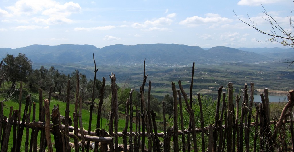
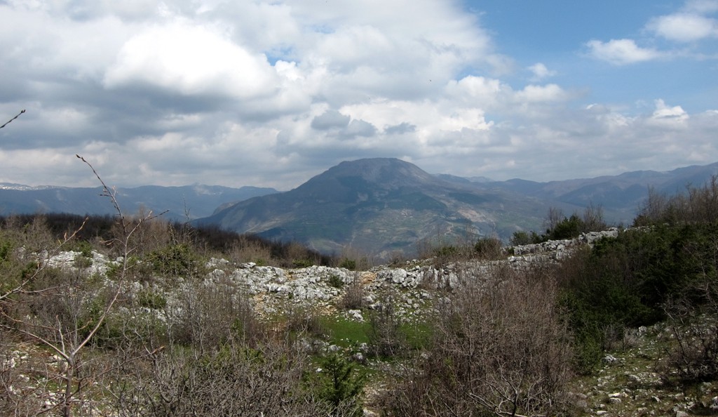
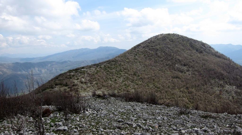
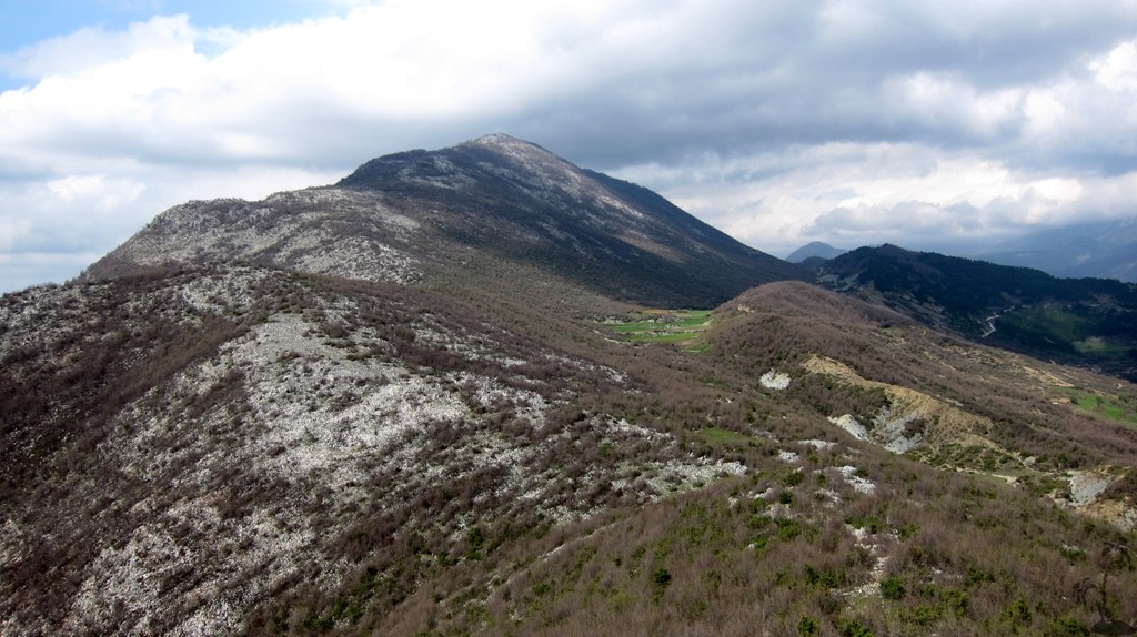
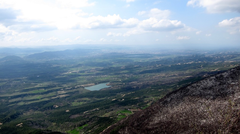
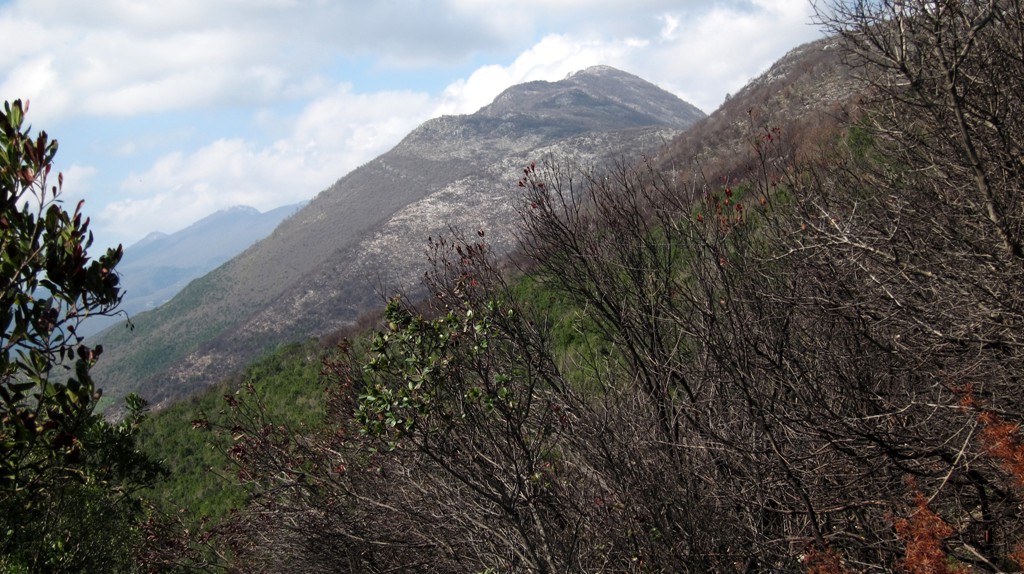
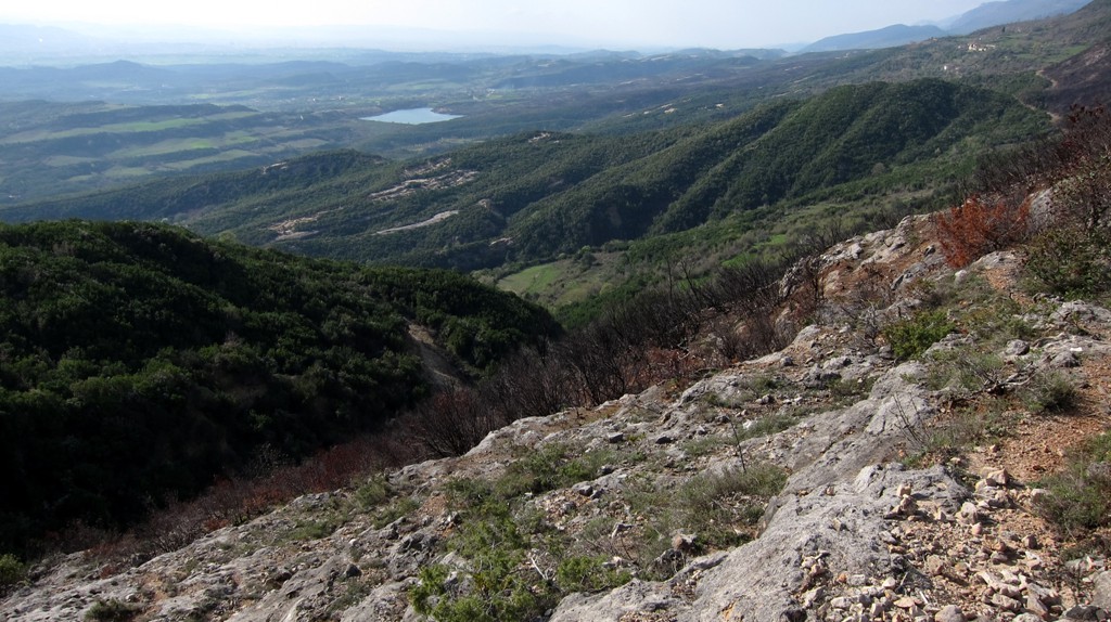
Summary: This is a relatively short, easy hike using part of the very long Priske ridge. The hike is for those who don't need to climb the highest mountain tops, but still wish to enjoy some peaceful hiking along ridges with very good views into all directions.
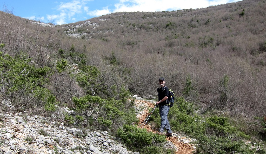
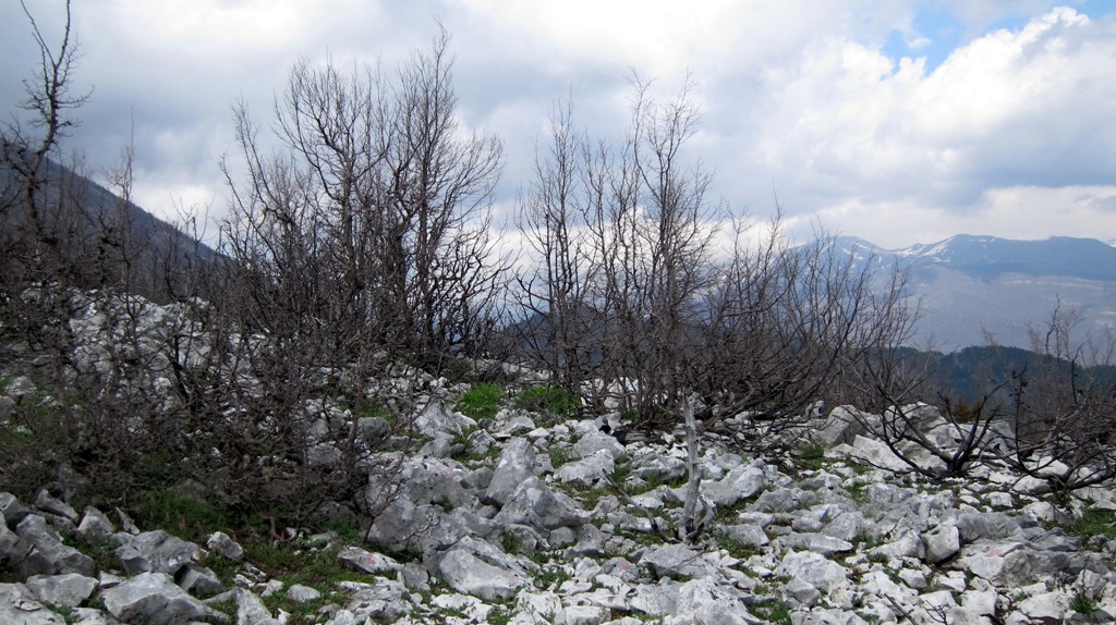
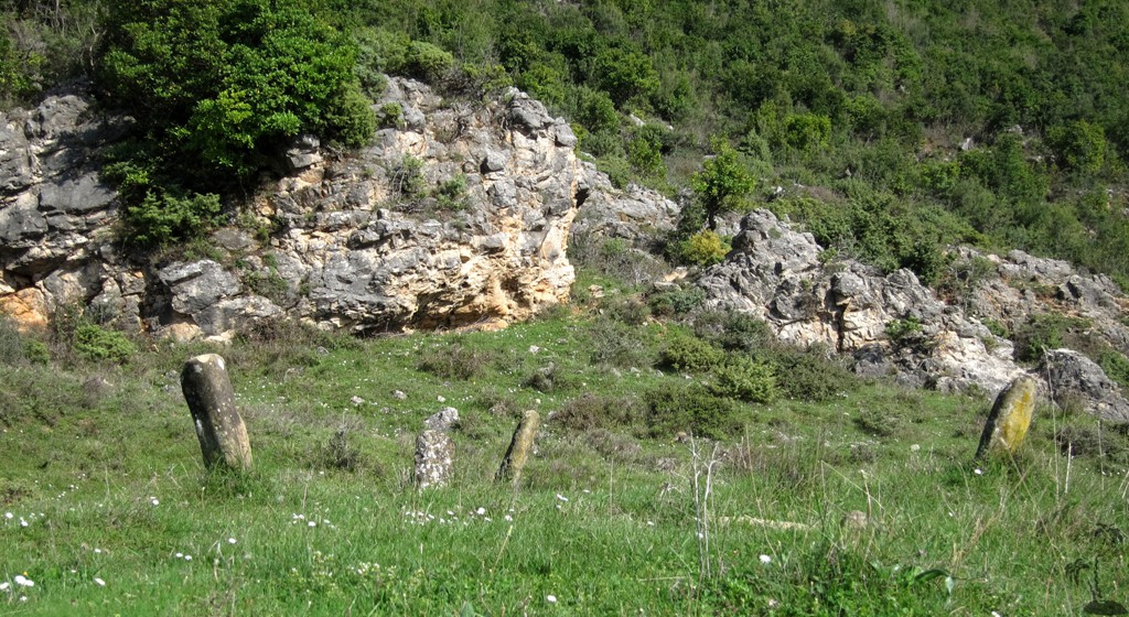
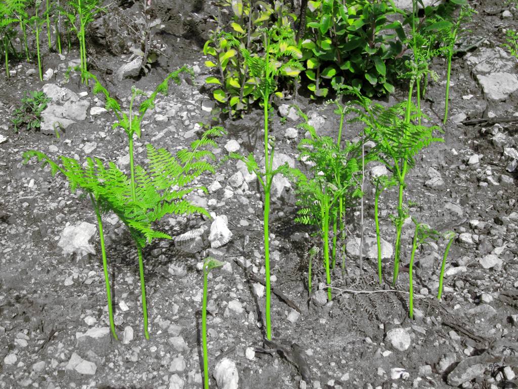
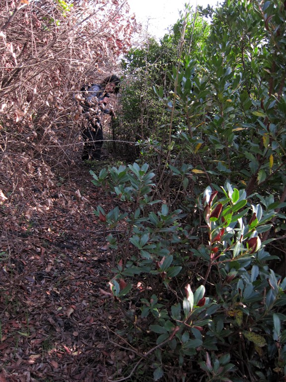
The Hike: The hike along the ridge is very easy to follow. When descending, the trail leads to an old cemetary. From here, the return hike follows a rather disused path, through shrubs that were burned in winter 2012/2013. This makes for sometimes difficult progress, and some garden scissors or an axe would be of great help - if not for you then for those who follow you!
If you don't wish to fight brambles and burned shrub, descend from the cemetary to the road about 50 Meter or so below. This makes for more up-and-down, but probably for a much faster return - with fewer views and an easy rating.
A good alternative if you are unsure about the weather, or forgot to set your alarm clock!
| Maximum altitude: | 886 meter |
| Minimum altitude: | 518 meter |
| Cumulative height: | 448 meter |
| Cumulative length: | 7.84 kilometer |
| Difficulty | moderate |
| Time: | 4 hours maximum |
| Date of this record | April 2013 |
| Download GPS info: | Përcëllesh |
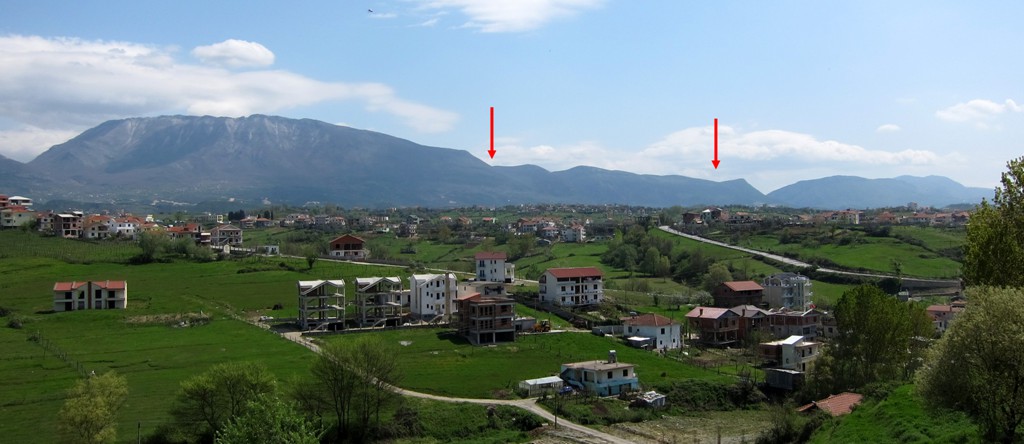
General location and approach: From Tirana, follow the road to Dajti Mountain. Before the road goes into the first hairpin, turn right to signposted Priske village. Pass through the village and continue to Përcëllesh.
Other Information: For a longer hike, combine this with the the hike to Priske Mountain and Erzen Gorge described elsewhere
GPS and trailmaps: The map and
trailinformation is generated by
![]() , based
on GPS information collected from the actual hike. Waypoints
can be downloaded to a GPS device from Wikiloc. If necessary, use
GPSBabel to
convert GPS data to different formats. For more
hike descriptions by Palmtreetreeproduction, browse this
website or visit Wikiloc
and search for "Palmtreeproduction". You may also find
nearby trails from other authors.
, based
on GPS information collected from the actual hike. Waypoints
can be downloaded to a GPS device from Wikiloc. If necessary, use
GPSBabel to
convert GPS data to different formats. For more
hike descriptions by Palmtreetreeproduction, browse this
website or visit Wikiloc
and search for "Palmtreeproduction". You may also find
nearby trails from other authors.
Google Earth: You may also view the trail in 3D when viewing it in Google Earth, which you need to have installed on your computer. The 3D perspective allows a good preview of gradients, steepness, possible views and is generally helpful when planning a trip.