PALM TREE PRODUCTIONS
back to Albania site back to hikes and climbs back to Locations and Travel
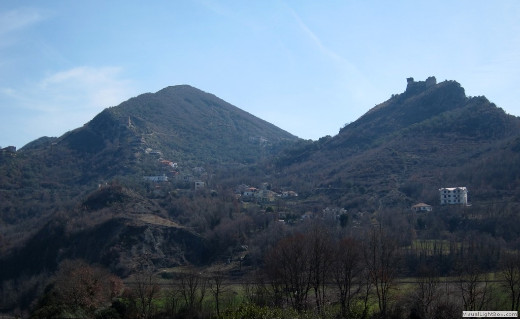
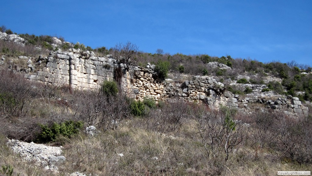
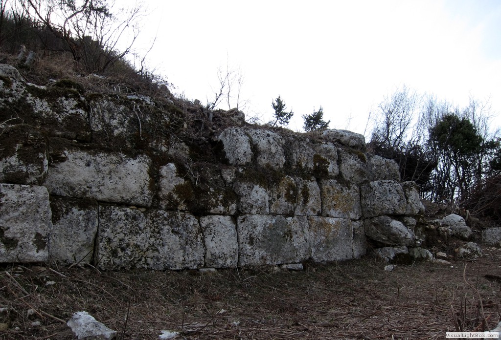
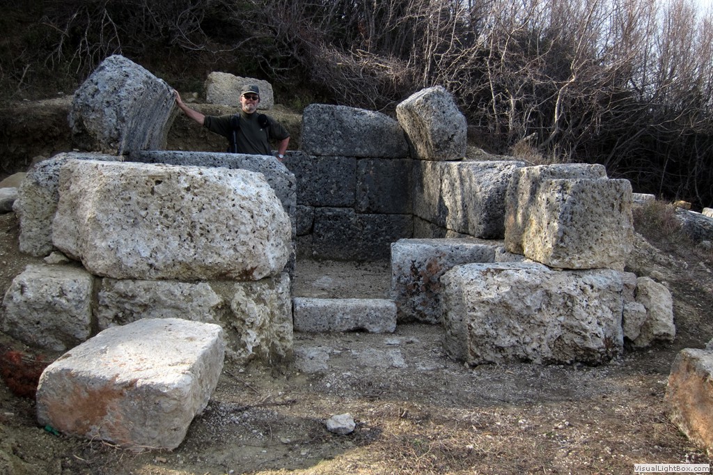
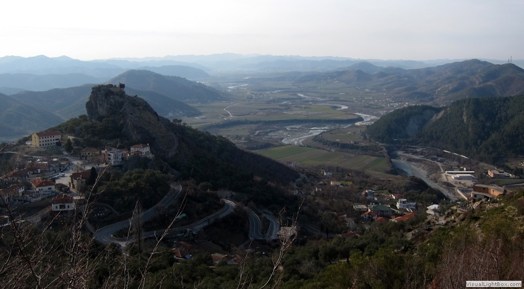
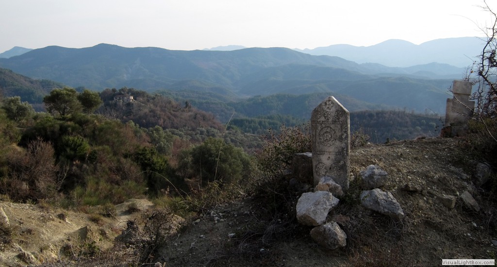
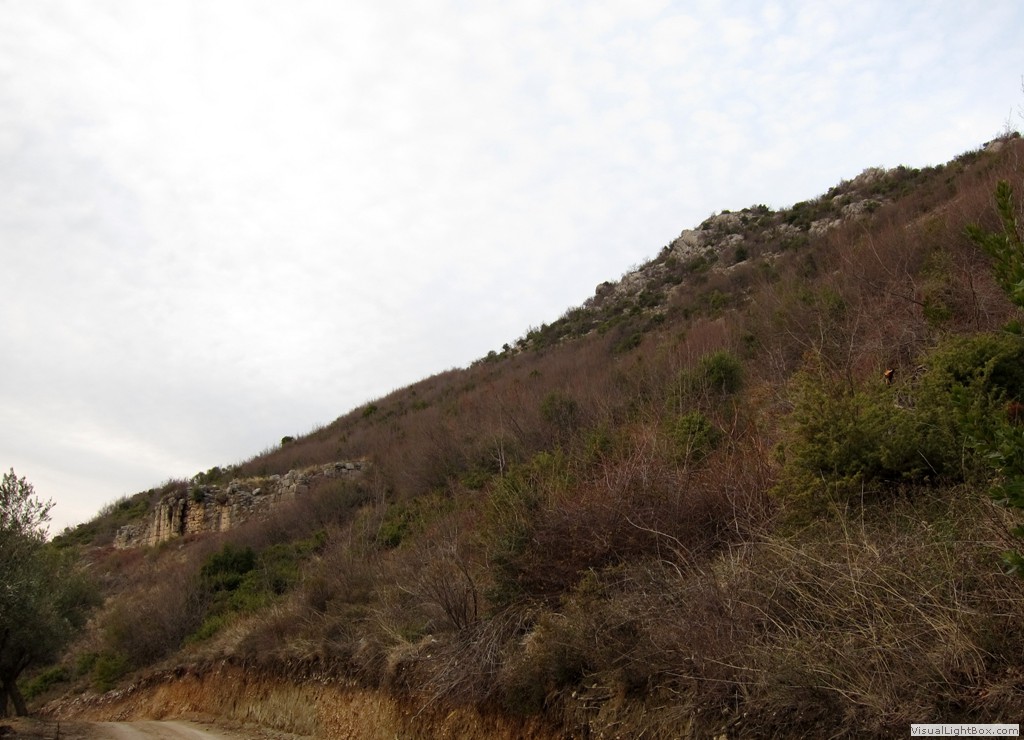
Illyrian Stones and a Lofty Summit![]()
![]()
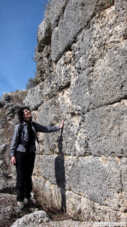
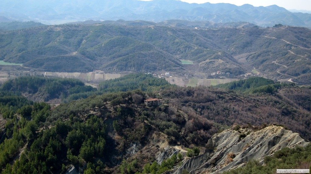
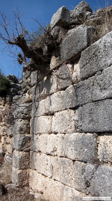
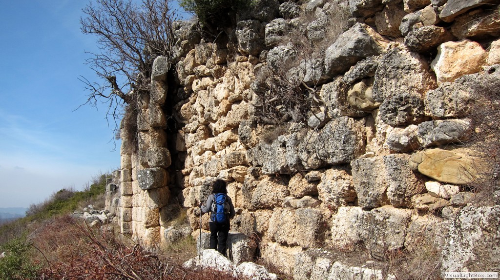
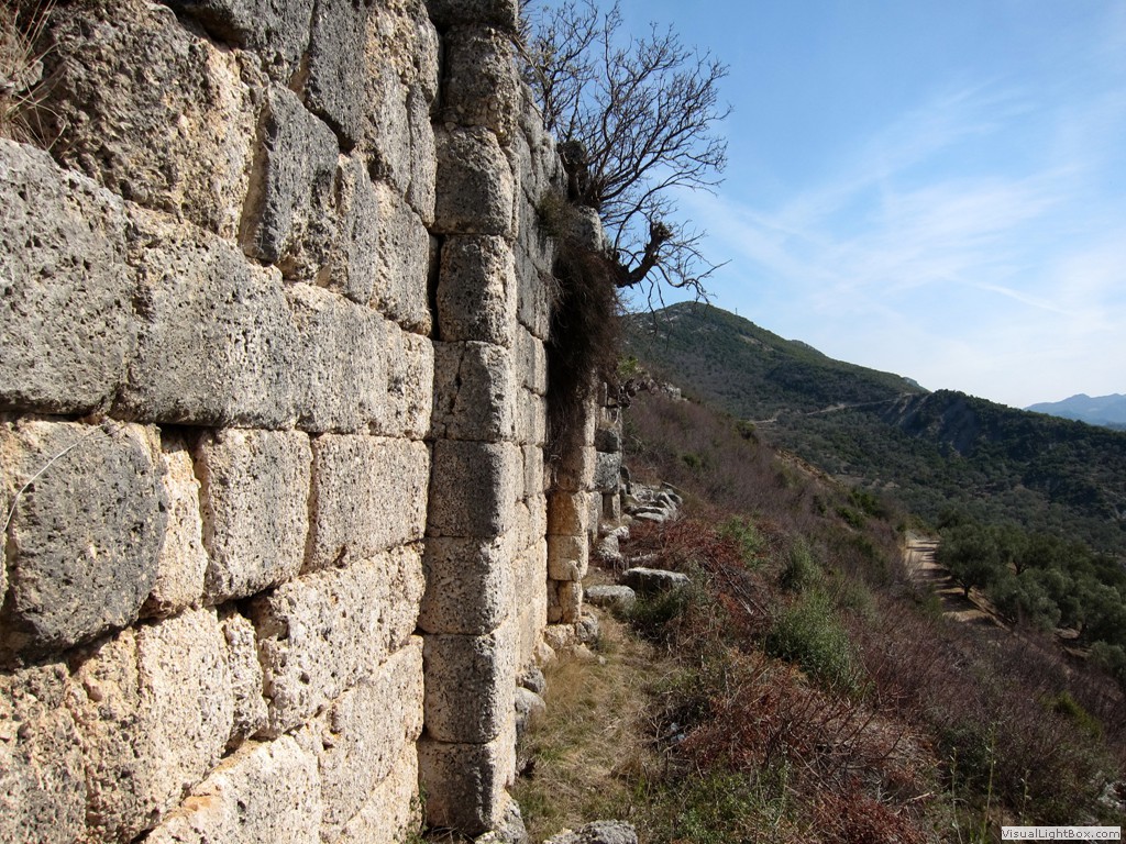
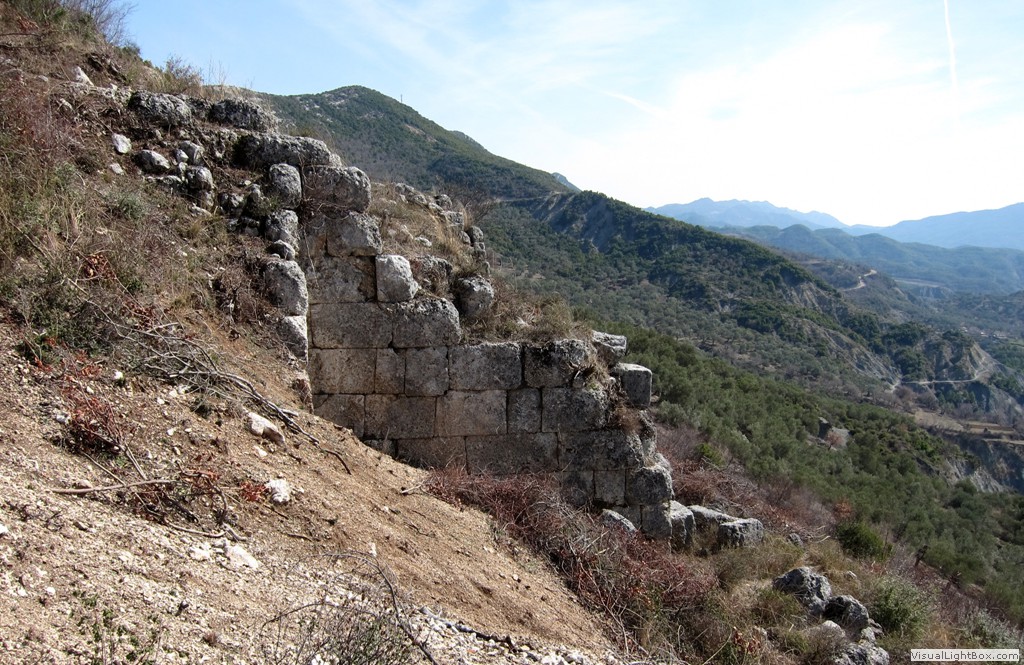
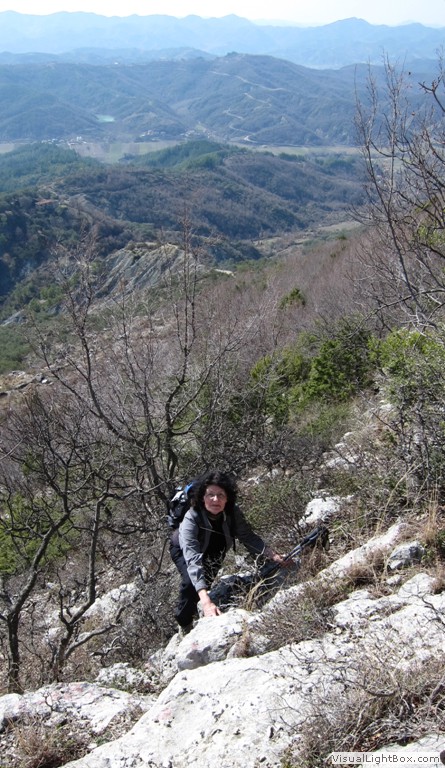
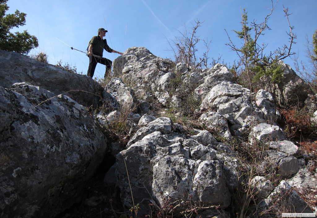
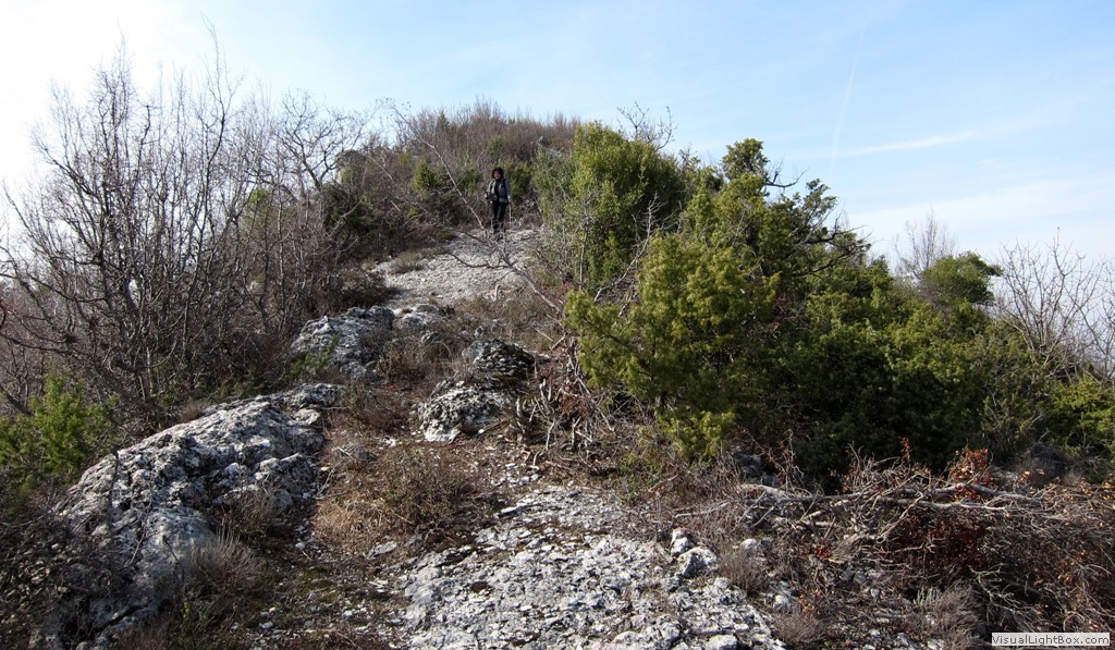
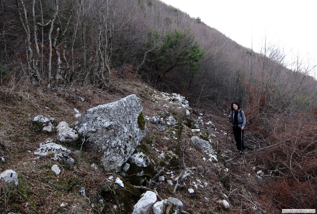
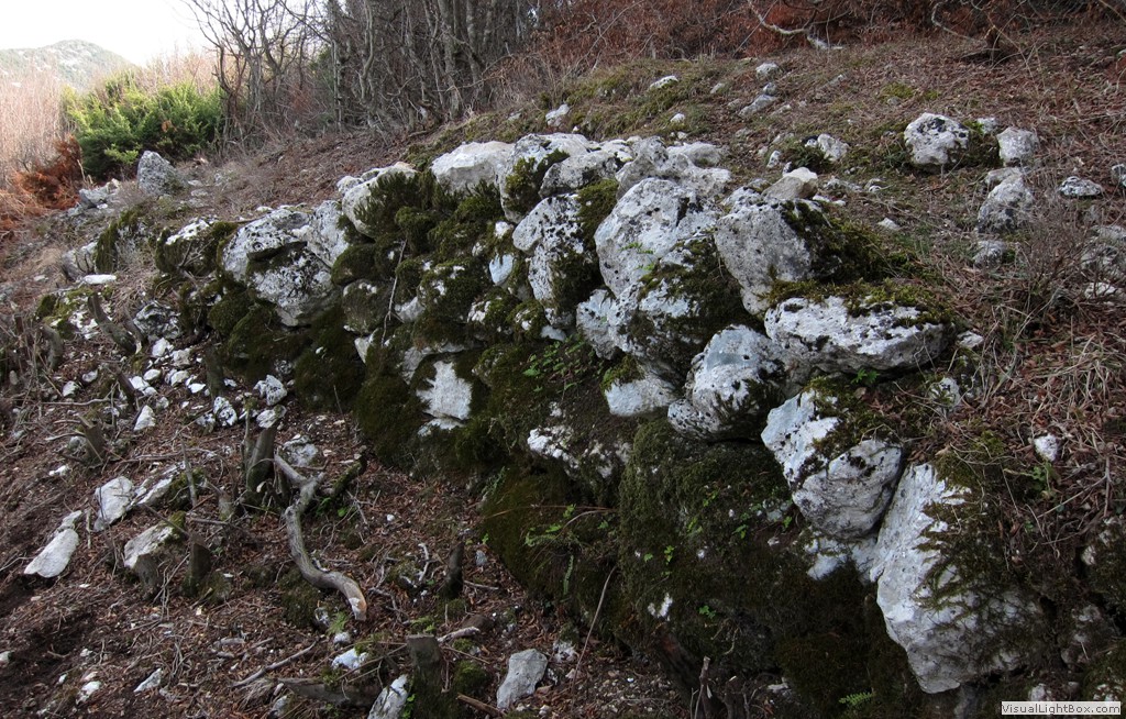
Summary: Many visitors come to Petrelë, primarily to visit the restaurants and the "Petrelë Castle", and this is good so. But Petrelë has other secrets awaiting the more intrepid visitor. The hill behind Petrelë is the site of the ancient City of Përsqop, and some ruins have recently been freed from shrubs and overgrowth. Moreover the commune of Petrelë is cutting new paths to make the sites more easily accessible and a new circular road was built. If you came for lunch or a view to Petrelë, why not take your car for a short excursion to the sights of some of the remaining ruins of Përsqop, thousands of years old? The hiker can also climb to the summit of the hill previously enclosed by the castle's walls. The route from the main castle walls to the summit is a light and cool scramble (though it can be hot at noon and later in the day. All hiking trails, except the scramble, are easy.
The Drive:
| Maximum altitude: | 471 meter |
| Minimum altitude: | 308 meter |
| Cumulative height: | 170meter |
| Cumulative length: | 5.5 kilometers |
| Difficulty | easy |
| Time: | about 1/2hours |
| Date of this record | March 2012 |
| Download GPS info: | Drive to Përsqop |
The Hike:
| Maximum altitude: | 592 meter |
| Minimum altitude: | 323 meter |
| Cumulative height: | 261 meter |
| Cumulative length: | 4 kilometer |
| Difficulty | easy |
| Time: | 3 hours |
| Date of this record | March 2012 |
| Download GPS info: | Illyrian Stones and a Lofty Summit |
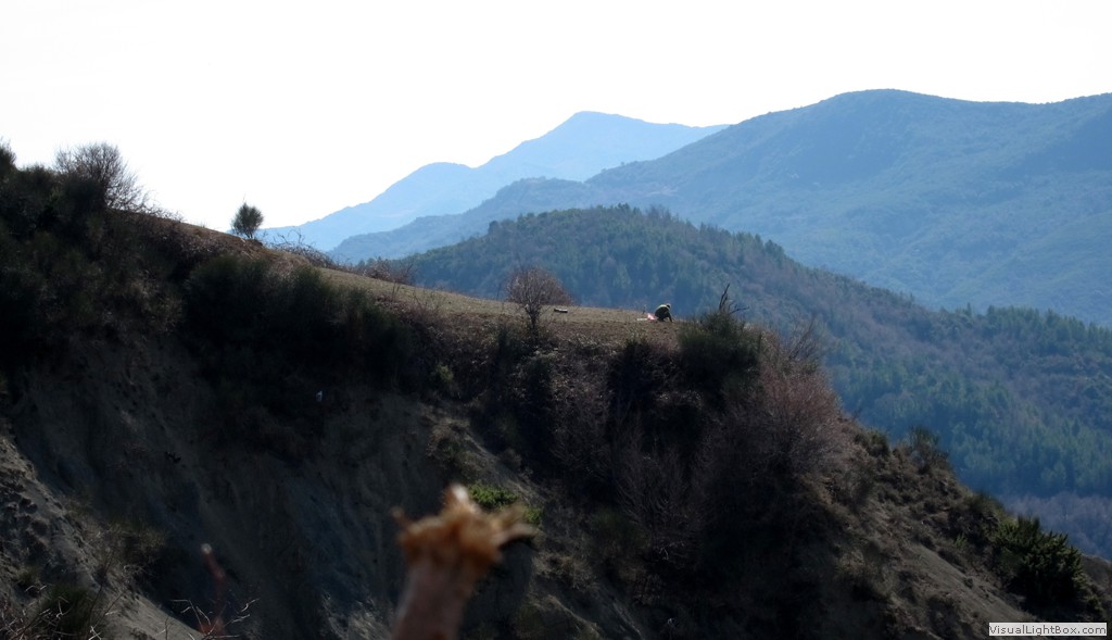
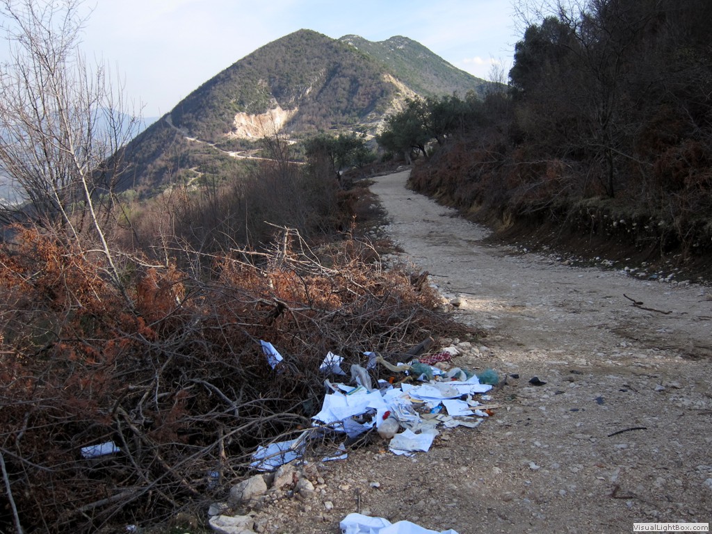
General location and approach: It is easiest to start the hike or drive at the market place of Petrelë. You can also start the hike at any other point of the road.
Other Information: Petrelë commune is working hard tomake this place interesting and attractive. It will be important to keep the sites in the conditions we found them - or even cleaner!
GPS and trailmaps: The map and trailinformation is generated by www.wikiloc.org, based on GPS information collected from the actual hike. Waypoints can be downloaded to a GPS device from Wikiloc. If necessary, use GPSBabel to convert GPS data to different formats. For more hike descriptions by Palmtreetreeproduction, browse this website or visit Wikiloc and search for "Palmtreeproduction". You may also find nearby trails from other authors.
Google Earth: You may also view the trail in 3D by clicking "view in Google Earth" when on Wikiloc. You need to have Google Earth installed on your computer.