PALM TREE PRODUCTIONS
back to Albania site back to hikes and climbs back to Locations and Travel
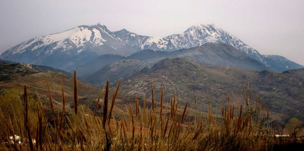
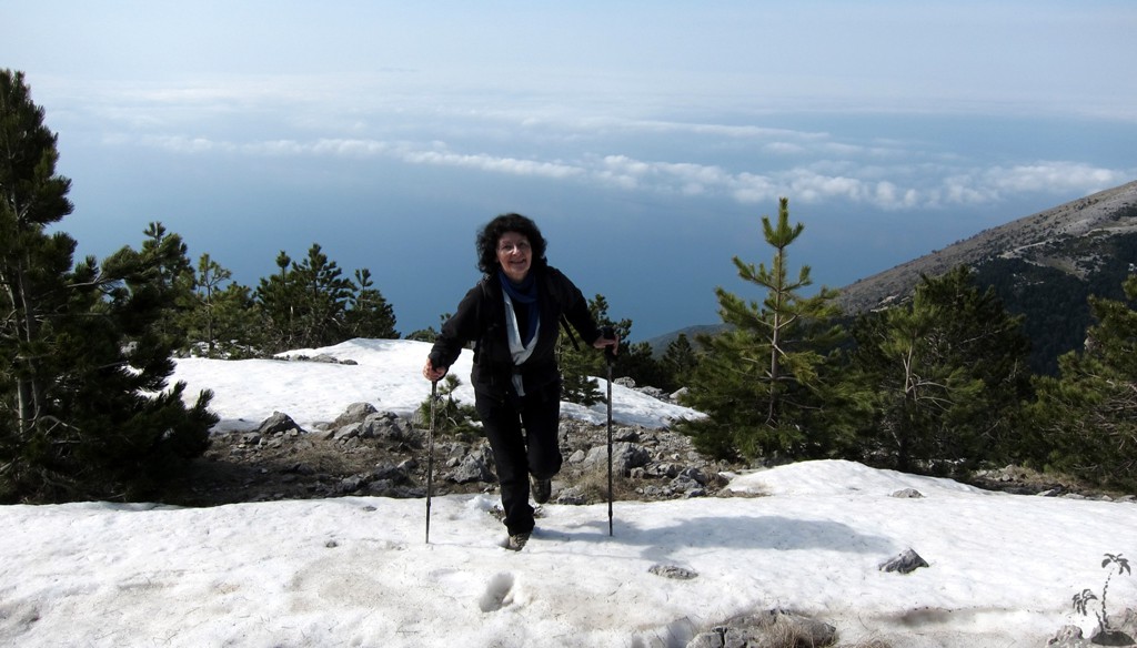
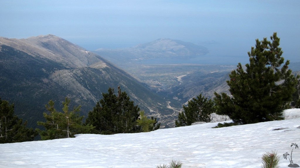
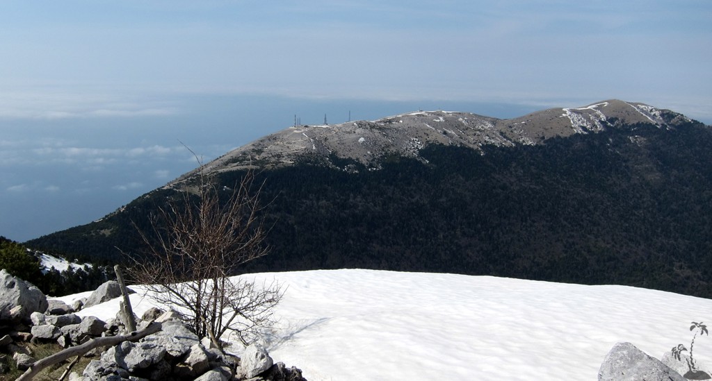
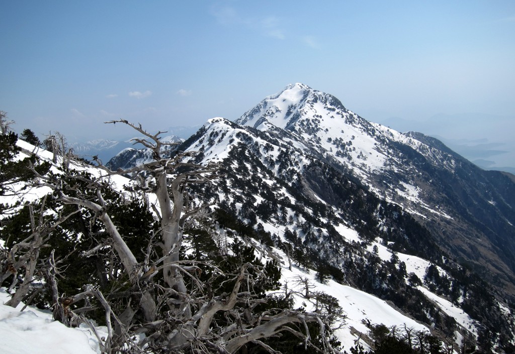
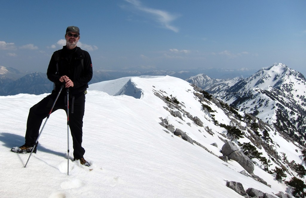
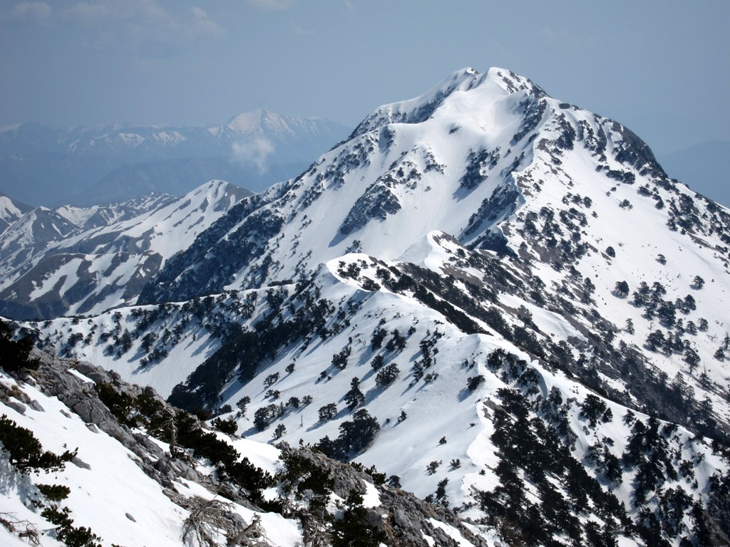
Maja e Qorres - 2000 Meter Above the Ionian
Sea![]()
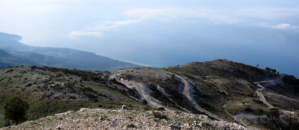
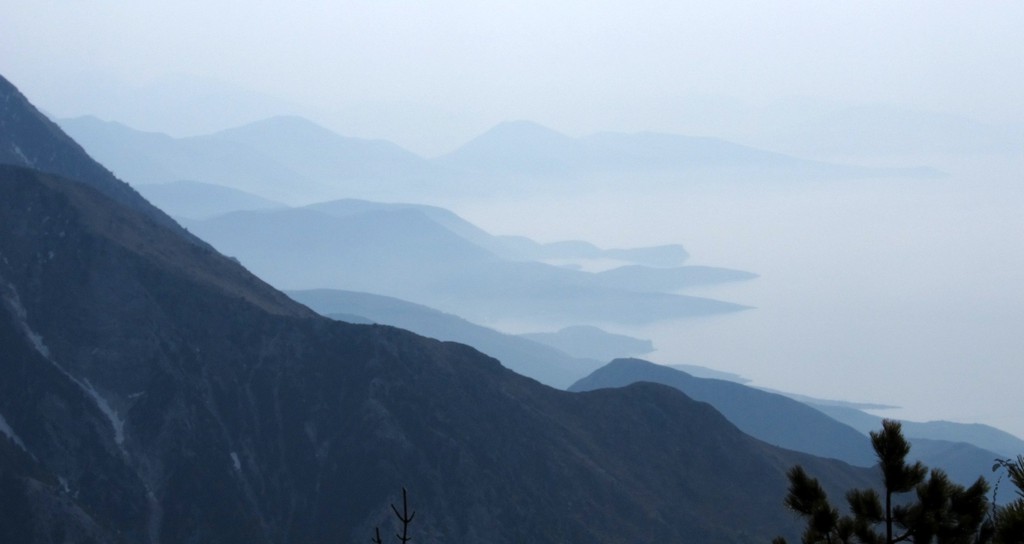
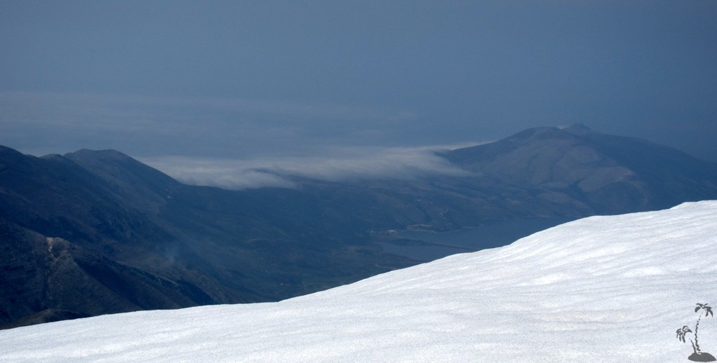
Summary: Many travellers make it over
the Llogara Pass, and their gaze is usually drawn to the sandy
beaches and blue waters of the Ionian Sea. Unless, of course, they
hold tight to the steering wheel and fix their attention to the
winding road. The pass climbs to an altitude of 1000 Meter, and many
find the altitude dizzying. Few travellers know, that another 1000
Meter higher, Maja e Qorres is in relatively easy reach offering
even more astounding views. Maja e Qorres is only a few Meters lower
than Maja e Cikës, separated from it through a 3.5 kilomters long
ridge.
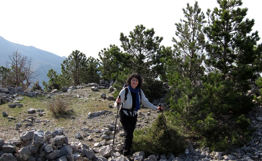
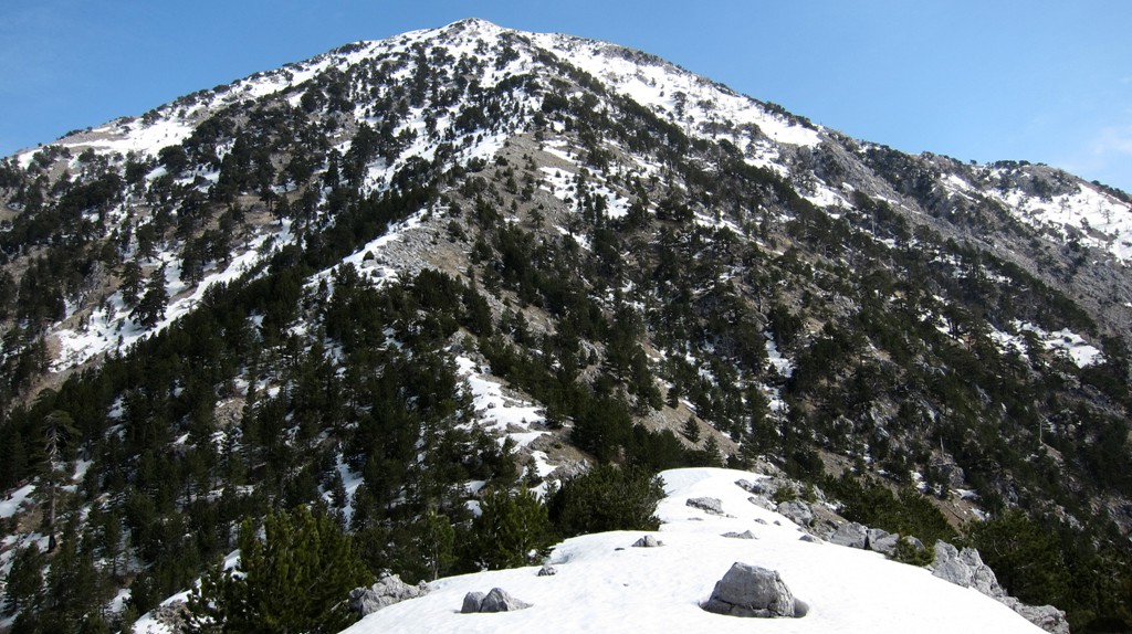
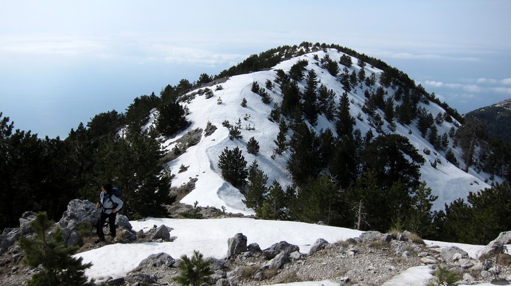
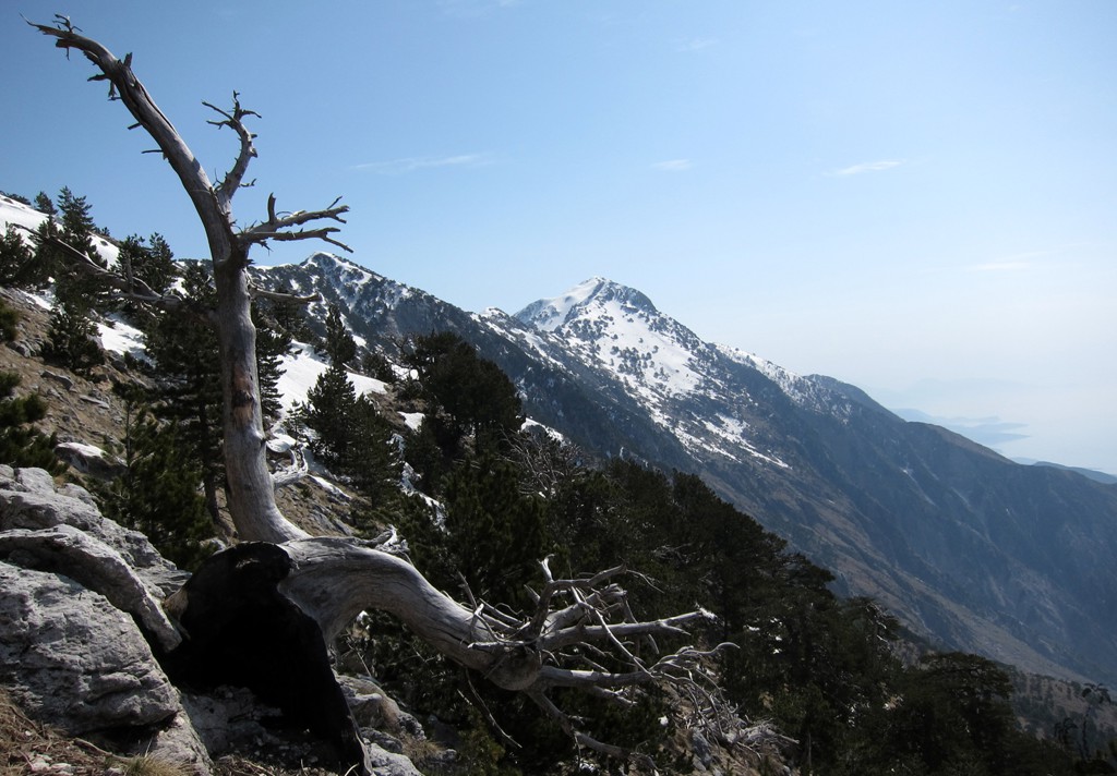
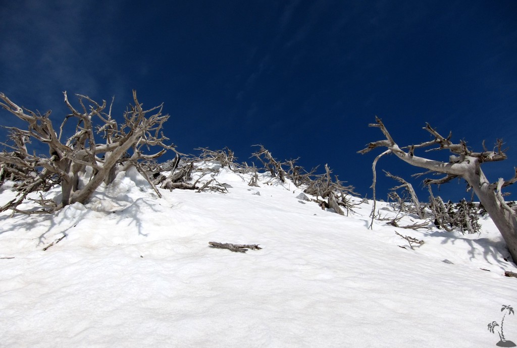
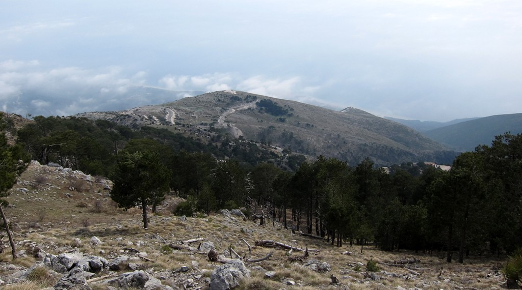
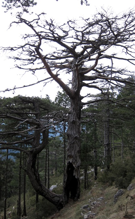
Maja e Qorres lies in the Llogara National Park which has many
wonderful old pine trees. The predominant strong winds have caused
the trees to bend into interesting shapes.
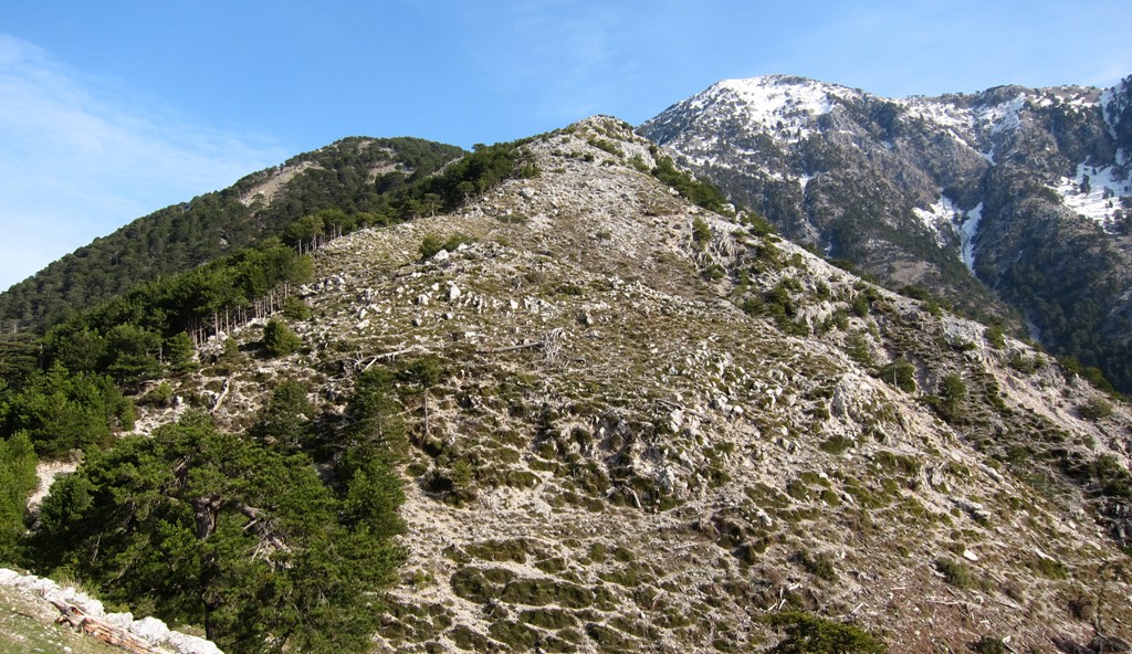
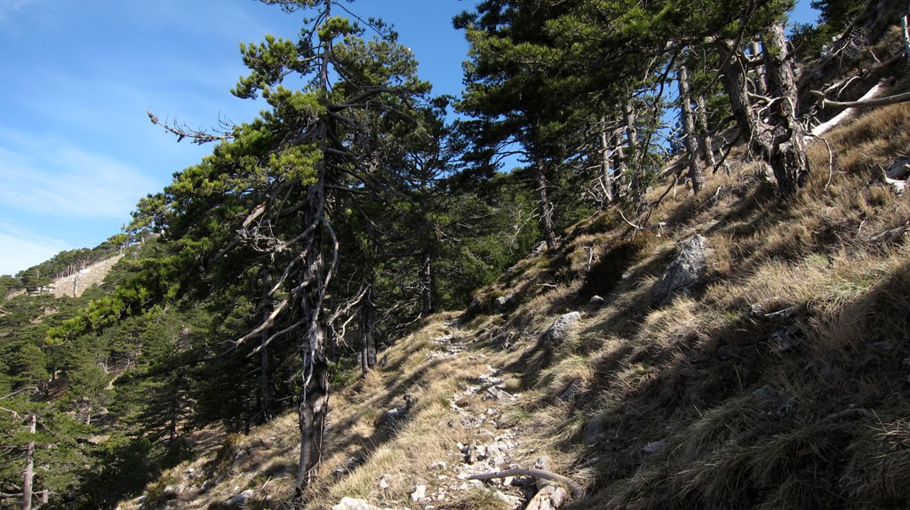
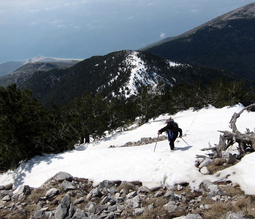
To climb Maja e Qorres, one doesn't really need a GPS device. The
climb is very straightforward, and follows a visible trail for the
first half of the hike. On the upper reaches, the trail becomes more
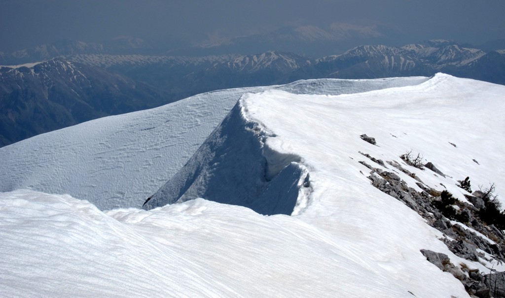
indistinct, but the direction is generally up. We climbed Qorres
while it had snow cover on many parts, and especially around the
summit area the coordinates might have strayed off the path. Having
said this, it probably is a good idea to take a GPS, in case of
swirling clouds or fog causing poor visibility.
While the trail itself is relatively easy, we gave
it a blue (moderate) rating, due to the potential for rapidly
changing weather conditions in the coastal range.
| Maximum altitude: | 2018 meter |
| Minimum altitude: | 1003 meter |
| Cumulative height: | 1020 meter |
| Cumulative length: | 3.5 kilometer one way |
| Difficulty | moderate |
| Time: | 3 hours |
| Date of this record | March 2012 |
| Download GPS info: | Maja e Qorres |
General location and approach: The hike starts on top of the Llogara Pass, between Vlora and Himara. The trailhead is near the first hairpin curve when descending from the pass, in the direction Vlora-Himara. Also see our link to Llogara Pass
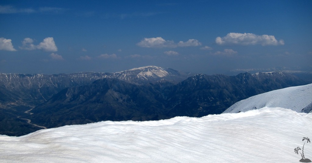
Other Information: Many mountain hikers tend to study the weather forecast for temperature and rainfall. At Llogara Pass and Maja e Qorres, it pays to study also the strength of the expected wind. Even on the Llogara Pass, at half the height of Maja e Qorres, the wind can be fierce while those at Dhermi Beach below are roasting in the sun. The weather can change rapidly in the coastal mountains, and one should make plans to return from the mountain around mid-day.
When hiking up, at waypoint "point 1" a trail joins from the left. We tried it on our way down, but got lost in a maze of fallen trees and shrubs.
At "fork 1" a mule trail leads to the left. It climbs gently. It will join the main trail again at "fork 2". The main trail is also a mule trail, for mules with low gears and differential lock. Those who want to save some energy for the summit go left, and those with little time go right on the main trail.
GPS and trailmaps: The map and trailinformation is generated by www.wikiloc.org, based on GPS information collected from the actual hike. Waypoints can be downloaded to a GPS device from Wikiloc. If necessary, use GPSBabel to convert GPS data to different formats. For more hike descriptions by Palmtreetreeproduction, browse this website or visit Wikiloc and search for "Palmtreeproduction". You may also find nearby trails from other authors.
Google Earth: You may also view the trail in 3D by clicking "view in Google Earth" when on Wikiloc. You need to have Google Earth installed on your computer.