PALM TREE PRODUCTIONS
back to Albania site back to hikes and climbs back to Locations and Travel
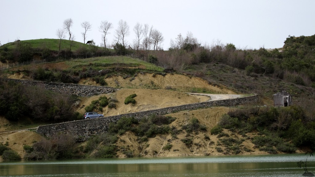
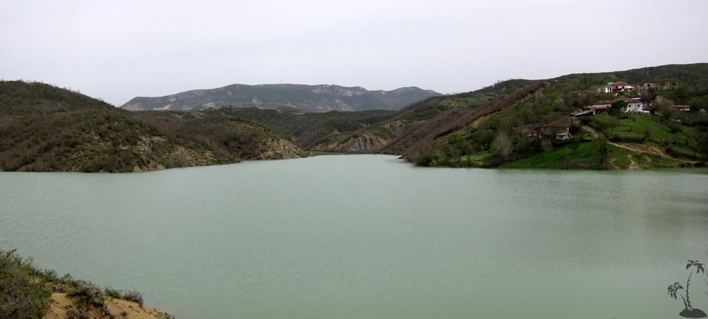
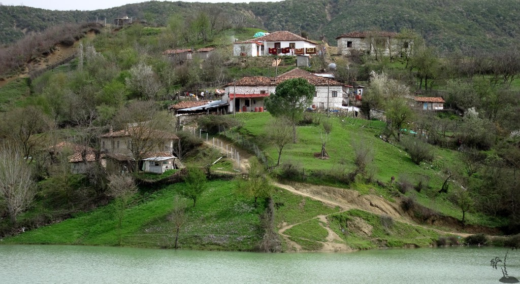
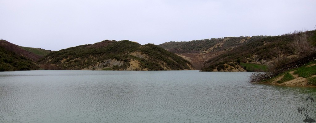
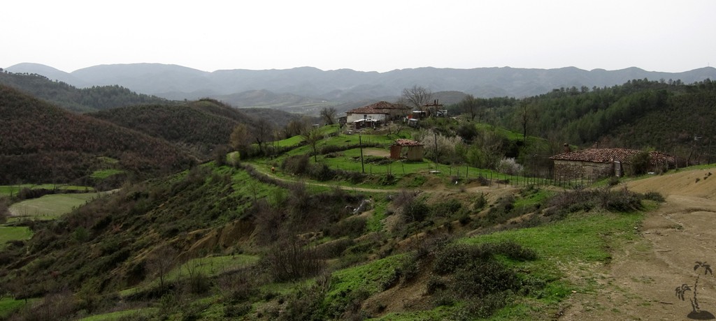
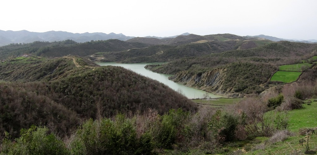
Lake Rrowe Hinterland![]()
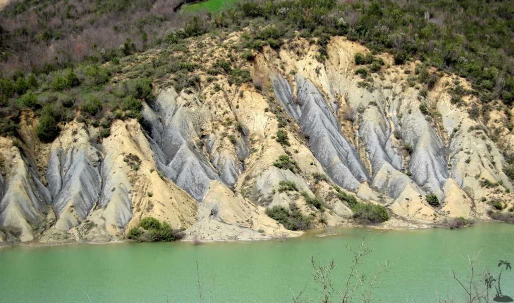
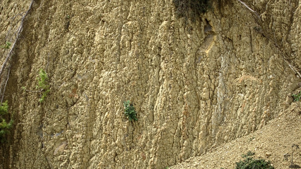
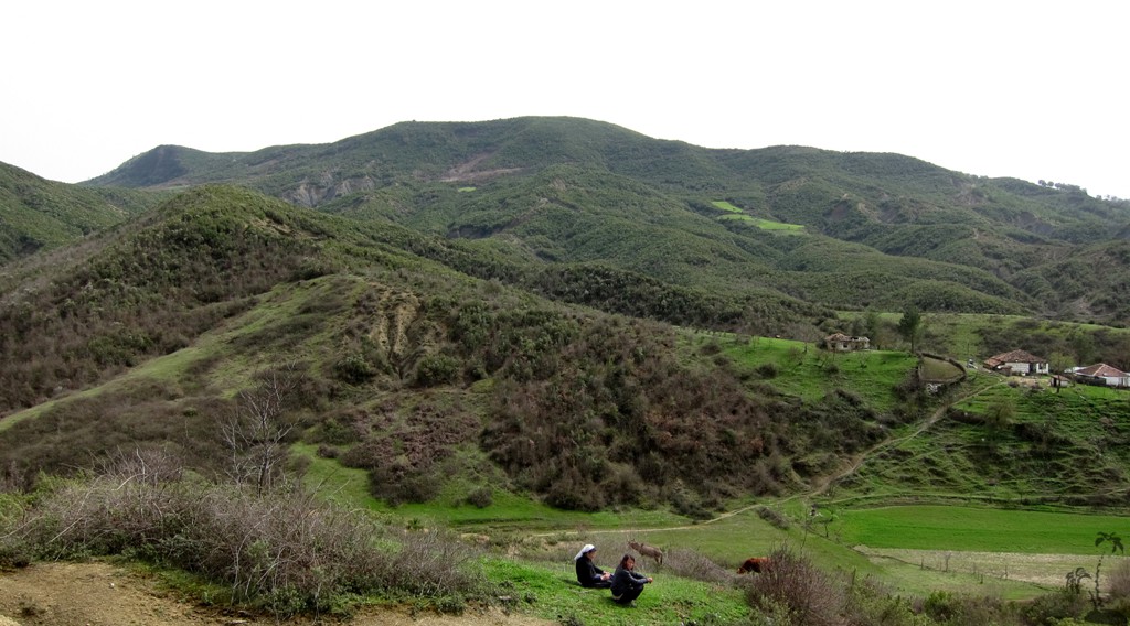
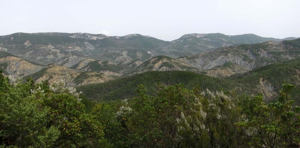
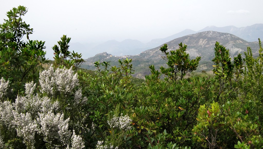
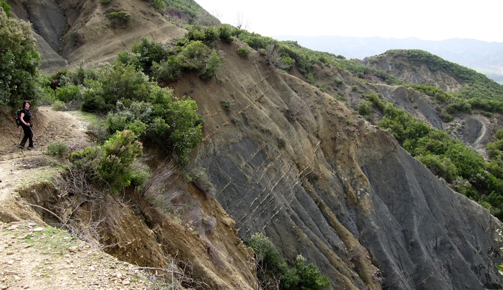
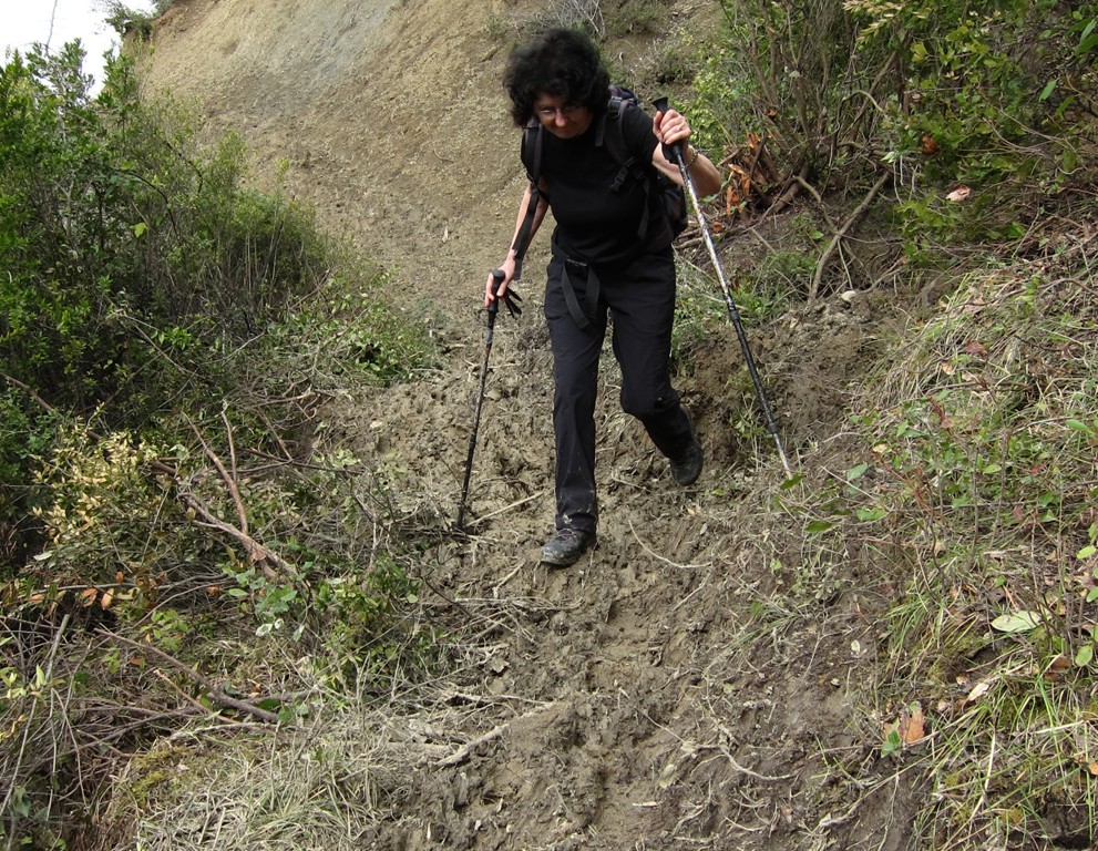
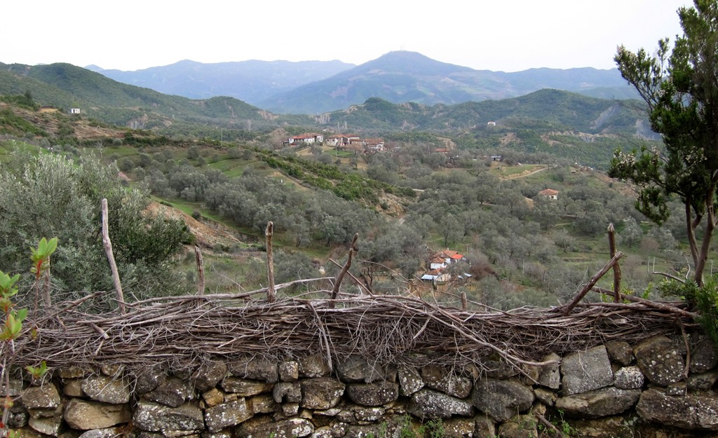
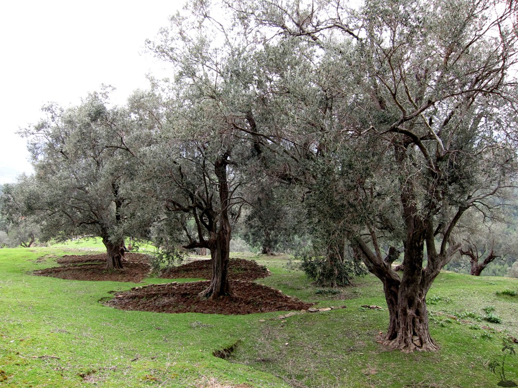
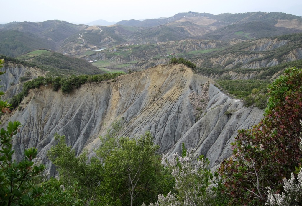
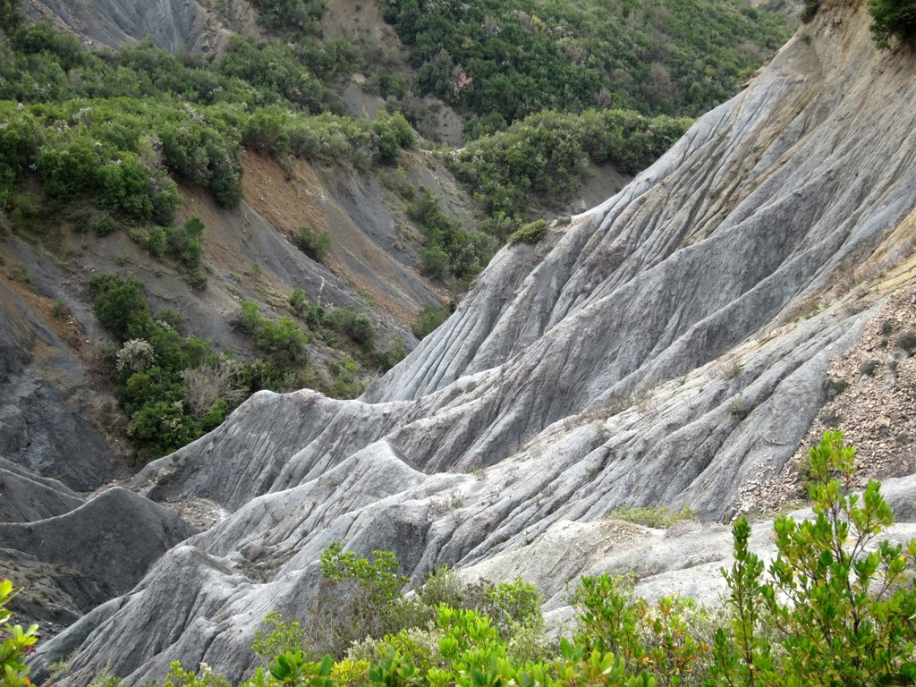
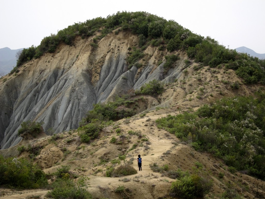
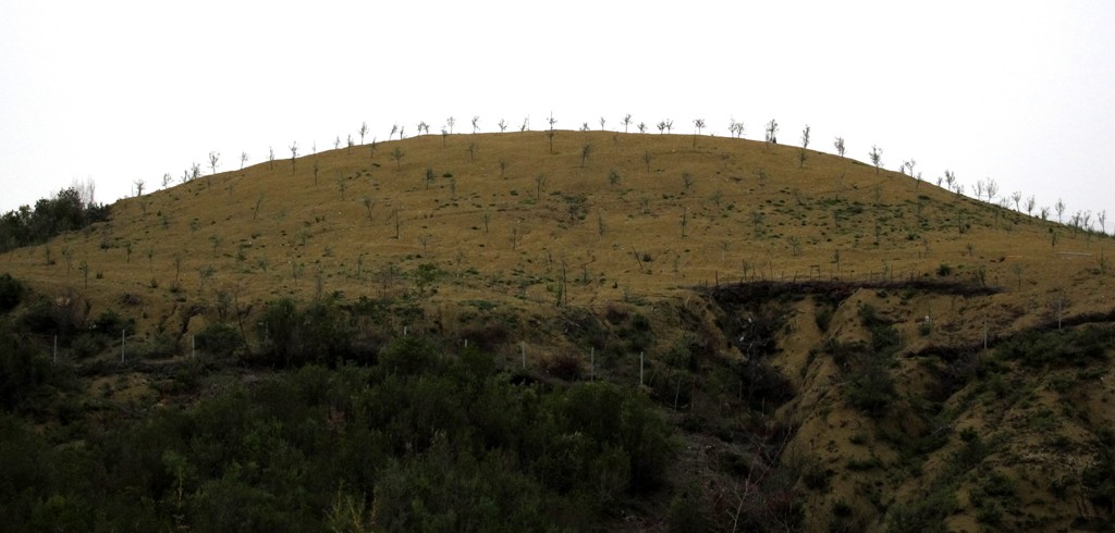
Summary: The area west of Petrele (or west of the Tirana - Elbasan road) is not an area really known for its touristic attraction. Life is hard for the farmers everywhere except in the fertile valleys of the Zhulima Valley. The entire area is subject to heavy erosion, which makes it difficult to eak out a living. For the adventurous hikers, many opportunities exist. None of the hikes is very easy, as most of them may pass steep drops, sometimes over slippery terrain. Route finding is always difficult - of course unless equipped with GPS.
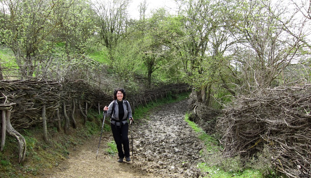
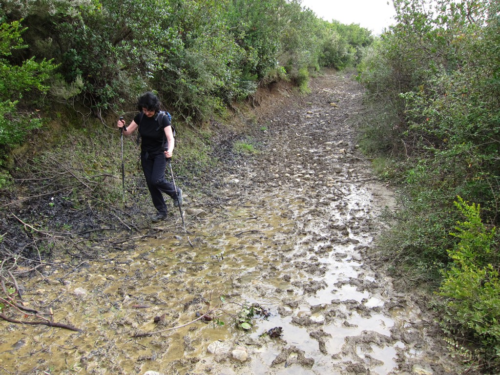
The Hike: Also this hike qualifies - at least for a short stretch - as an erosion ramble. For some short stretches it follows village paths. Most of the trail, however, goes far into the hinterland, and trails tend to become overgrown or otherwise disused. However, the trail follows the main ridges, and with some preparation - and preferrably a GPS - one does not need to get lost.
| Maximum altitude: | 396 meter |
| Minimum altitude: | 172 meter |
| Cumulative height: | 266 meter |
| Cumulative length: | 6.7 kilometers |
| Difficulty | moderate |
| Time: | 3 hours |
| Date of this record | March 2013 |
| Download GPS info: | Lake Rrove |
General location and approach: The hike
starts at Rrove Lake. Reach the lake by driving from Tirana
to Baldushk, and then to the lake. Or start from Petrele
(see separate 4WD trail from Petrele to Elbasan). The
circuit from Petrele to Rrove Lake and to Balldushk and back
to Tirana does NOT require a 4WD or high clearance vehicle.
Other Information: You can easily combine this hike with climbing Korbit Mountain (see separate trail Kalofsh Mirë on Korbit Mountain).
GPS and trailmaps: The map and
trailinformation is generated by
![]() , based
on GPS information collected from the actual hike. Waypoints
can be downloaded to a GPS device from Wikiloc. If necessary, use
GPSBabel to
convert GPS data to different formats. For more
hike descriptions by Palmtreetreeproduction, browse this
website or visit Wikiloc
and search for "Palmtreeproduction". You may also find
nearby trails from other authors.
, based
on GPS information collected from the actual hike. Waypoints
can be downloaded to a GPS device from Wikiloc. If necessary, use
GPSBabel to
convert GPS data to different formats. For more
hike descriptions by Palmtreetreeproduction, browse this
website or visit Wikiloc
and search for "Palmtreeproduction". You may also find
nearby trails from other authors.
Google Earth: You may also view the trail in 3D when viewing it in Google Earth, which you need to have installed on your computer. The 3D perspective allows a good preview of gradients, steepness, possible views and is generally helpful when planning a trip.