PALM TREE PRODUCTIONS
back to Albania site back to hikes and climbs back to Locations and Travel
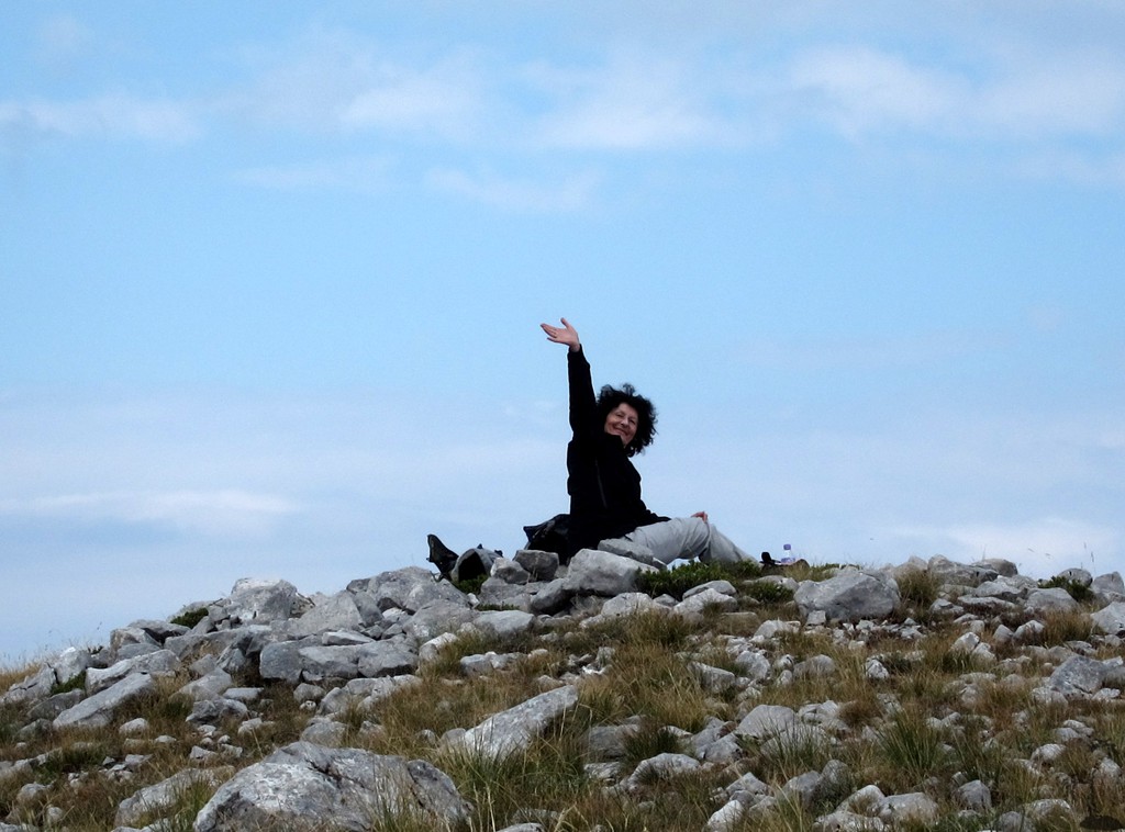
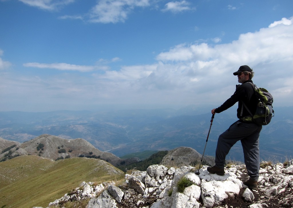
Maja Rrunja e Lurës![]()
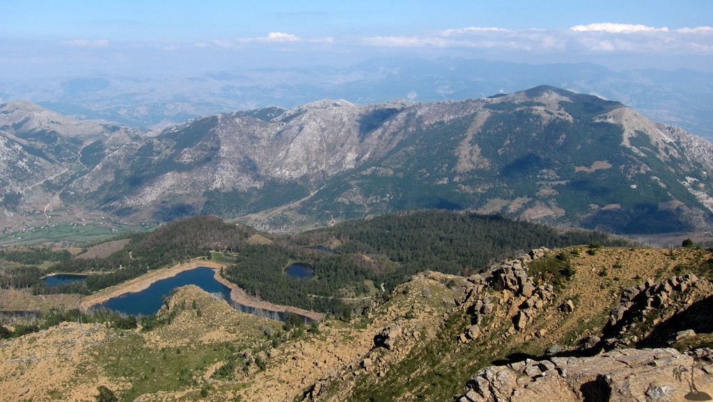
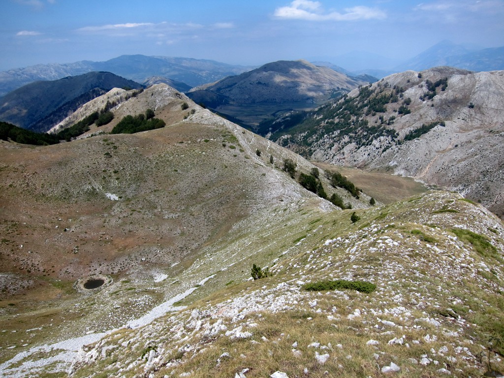
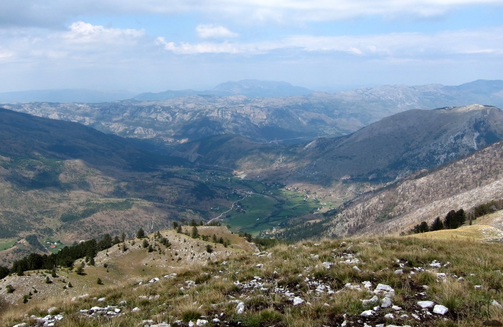
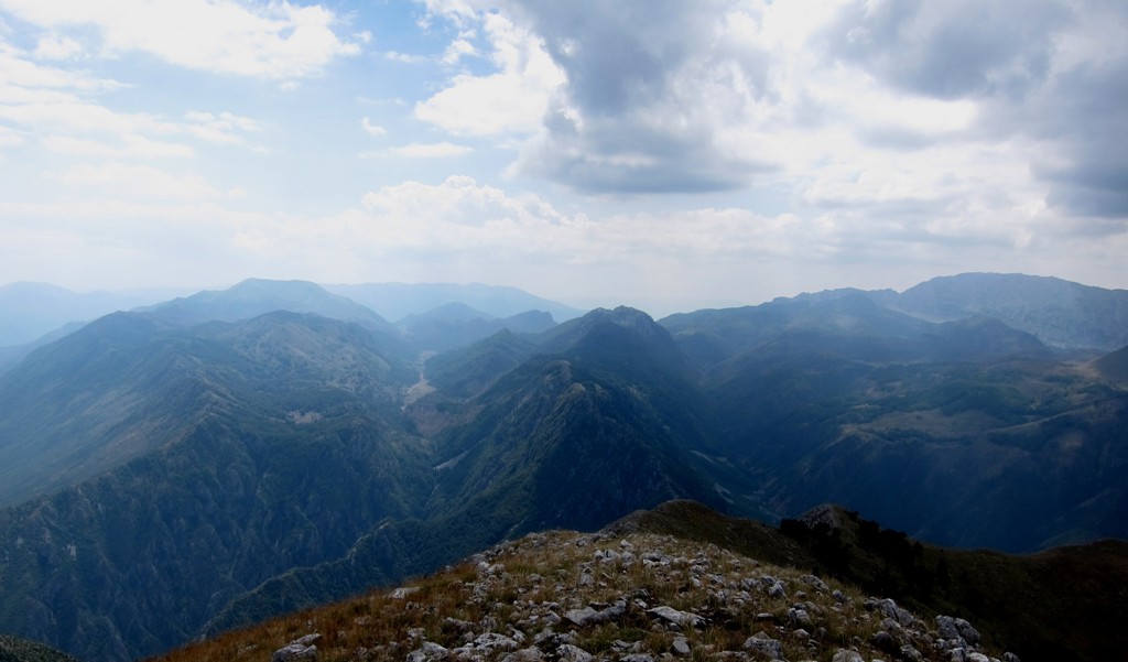
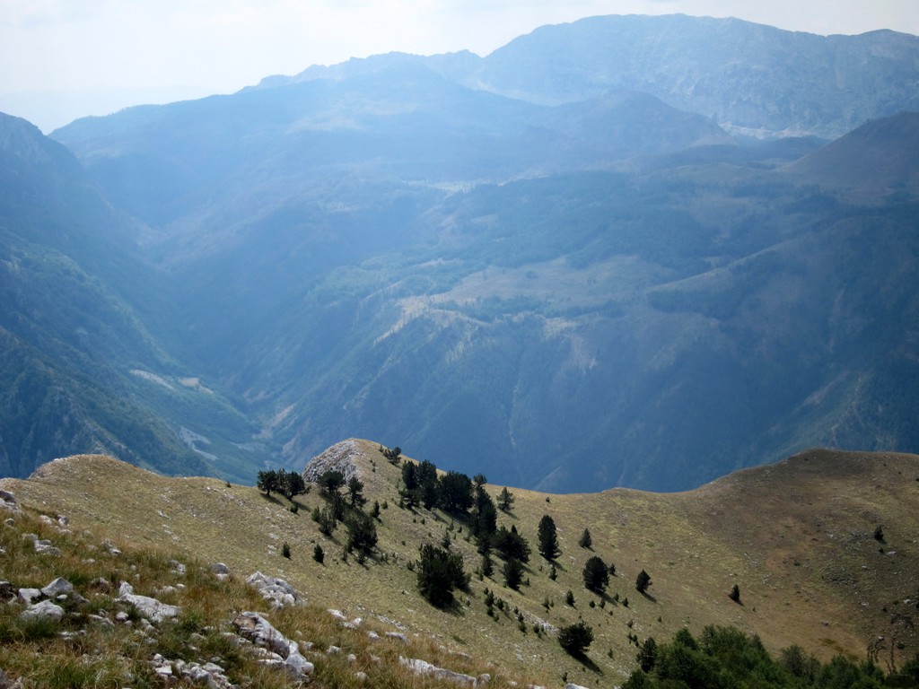
Summary: Maja Rrunja e Lurës has a long name, but offers a relatively short but invigorating hike. For those wishing to spend some time in the Lure area and visit more than the lakes, Maja Rrunja e Lures is an ideal excursion. Rrunja provides views across Lure National Park, including towards the dramatic Mali i Dejes (see separate trail).
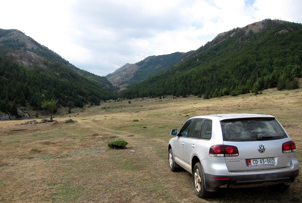
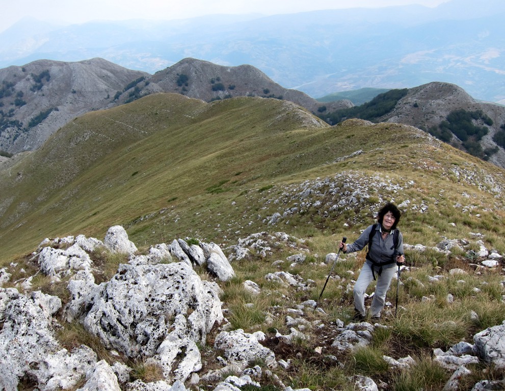
The Hike: One can start hiking from the pass that connects Lure village with Cidhne, or drive a little into the valley that leads to Rrunja e Lures. At an obvious fork (waypoint 2-Parking), both track options are doubtful and it is best to leave the car here. Follow the upper (right) track.
| Maximum altitude: | 1990 meter |
| Minimum altitude: | 1384 meter |
| Cumulative height: | 613 meter |
| Cumulative length: | 5.09 kilometers one way |
| Difficulty | easy |
| Time: | 2 hours |
| Date of this record | September 2013 |
| Download GPS info: | Maja Rrunja e Lurës |
General location and approach: East of Lure village
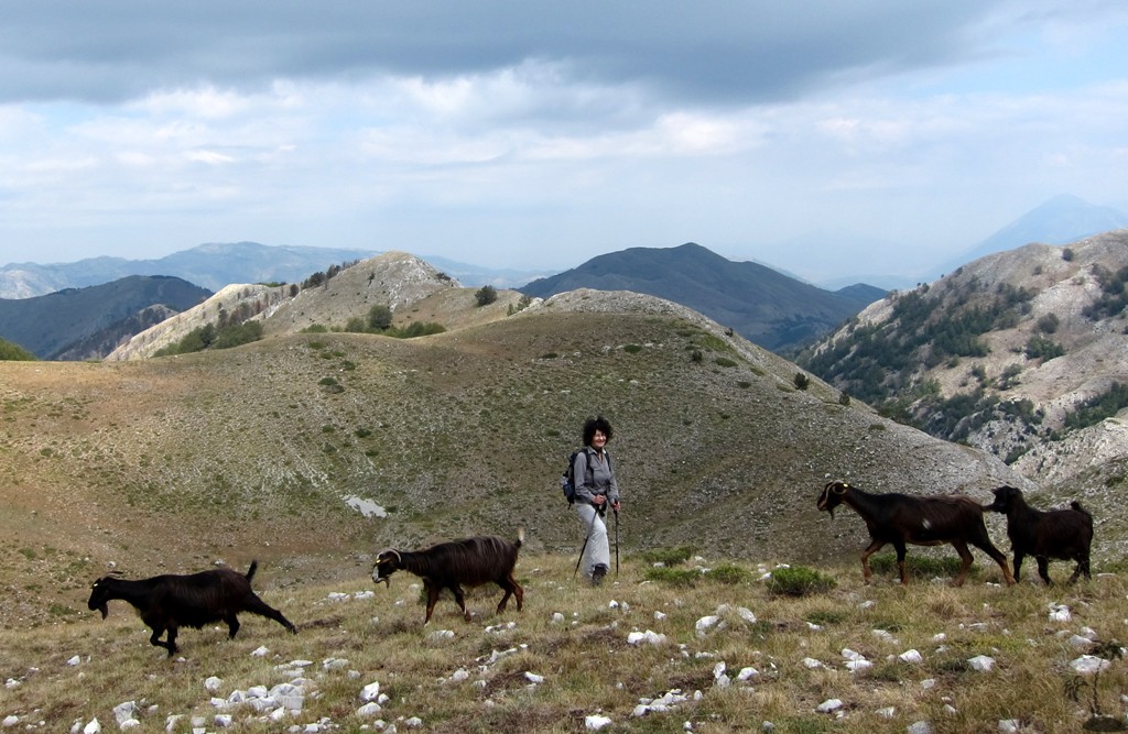
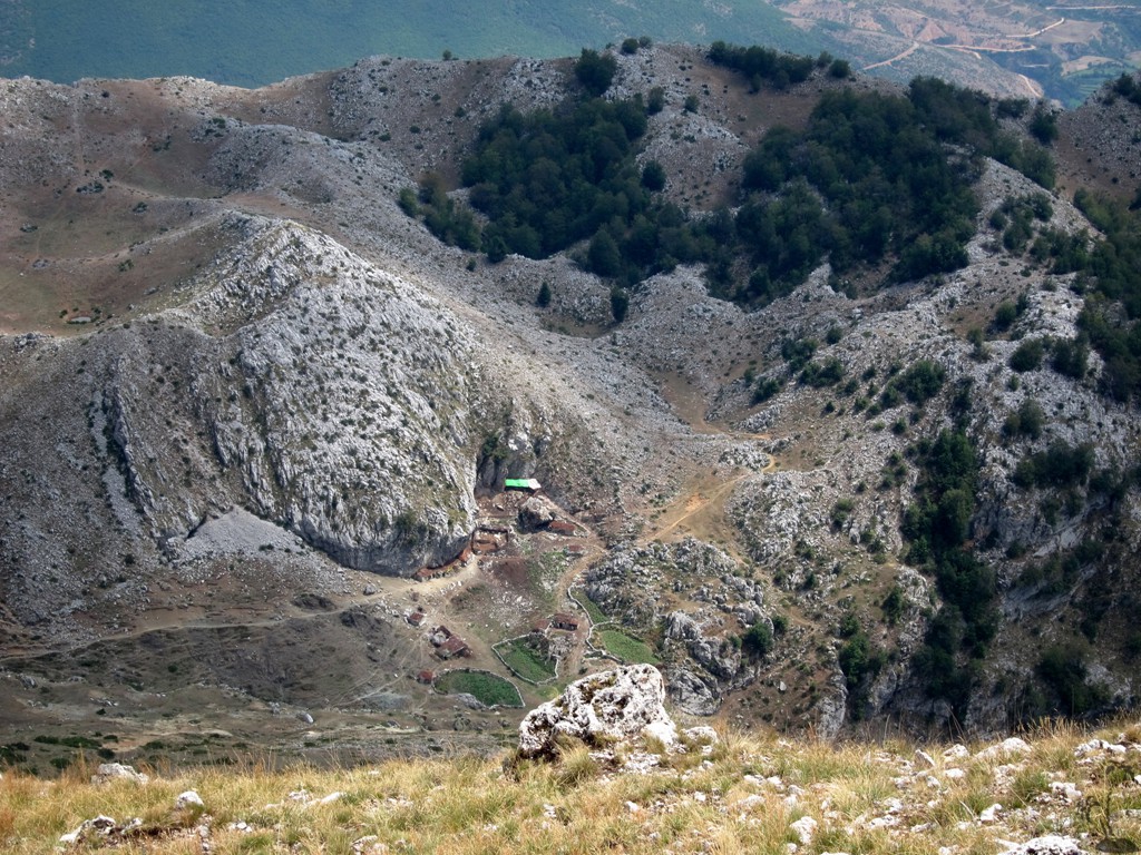
Other Information: There are many stans and herds, but the shepherds are accustomed to tourists and the dogs are friendly
GPS and trailmaps: The map and
trailinformation is generated by
![]() , based
on GPS information collected from the actual hike. Waypoints
can be downloaded to a GPS device from Wikiloc. If necessary, use
GPSBabel to
convert GPS data to different formats. For more
hike descriptions by Palmtreetreeproduction, browse this
website or visit Wikiloc
and search for "Palmtreeproduction". You may also find
nearby trails from other authors.
, based
on GPS information collected from the actual hike. Waypoints
can be downloaded to a GPS device from Wikiloc. If necessary, use
GPSBabel to
convert GPS data to different formats. For more
hike descriptions by Palmtreetreeproduction, browse this
website or visit Wikiloc
and search for "Palmtreeproduction". You may also find
nearby trails from other authors.
Google Earth: You may also view the trail in 3D by clicking "view in Google Earth" when on Wikiloc. You need to have Google Earth installed on your computer.