PALM TREE PRODUCTIONS
back to Albania site back to hikes and climbs back to Locations and Travel
Mali i Shëndëllisë![]()
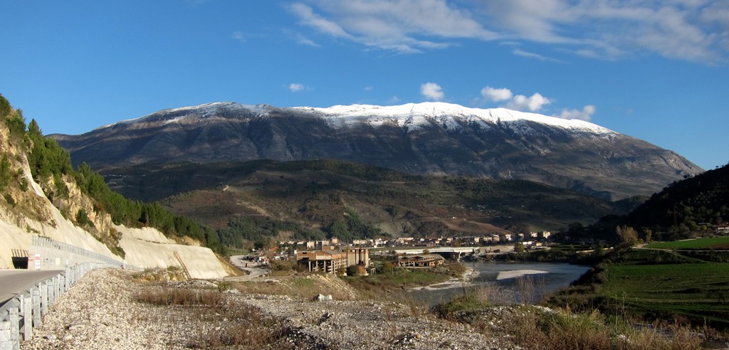
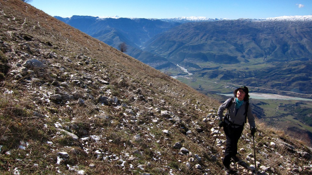
Summary: Mali i Shëndëllisë is along the major highway connecting Fier and Gjirokaster. It is in everybody's view, but we had never heard of anyone climbing it. Shëndëllisë had been on our mind for a while, and we were just waiting for a good opportunity. In mid February 2014, snow conditions were getting good, and we rushed down to Tepelene to hope for a few hours of sunshine.
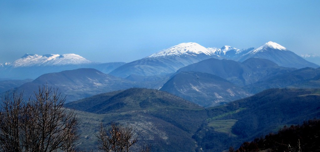
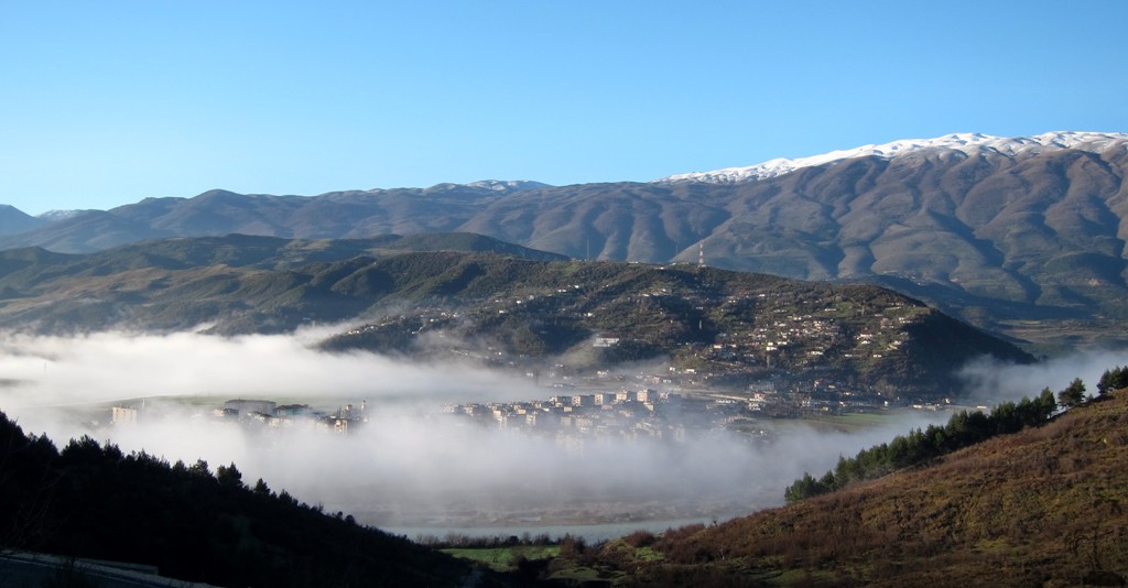
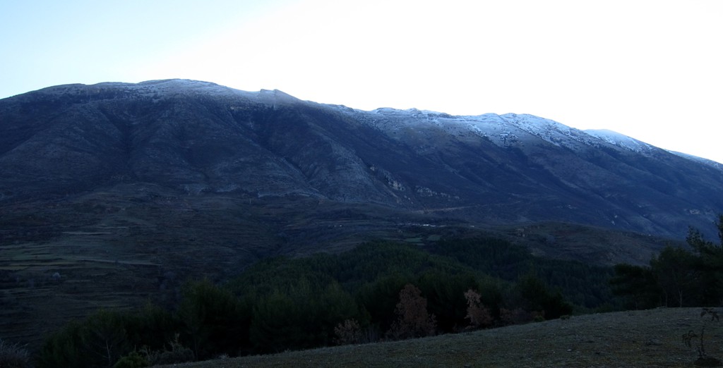
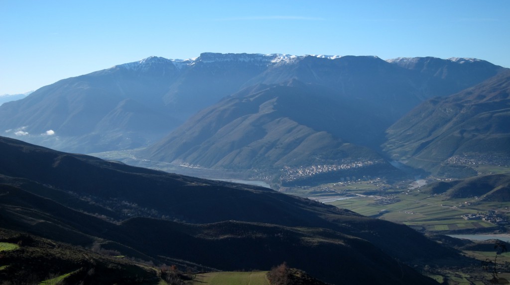
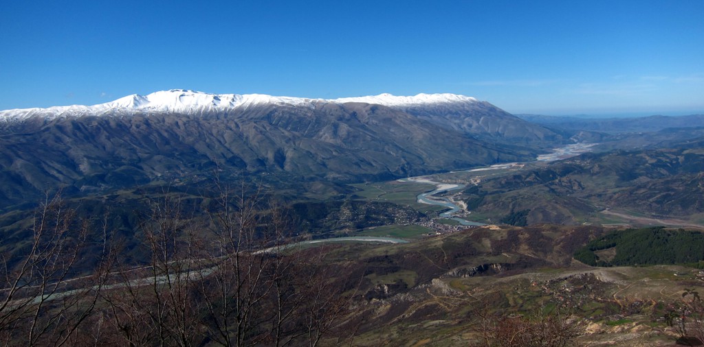
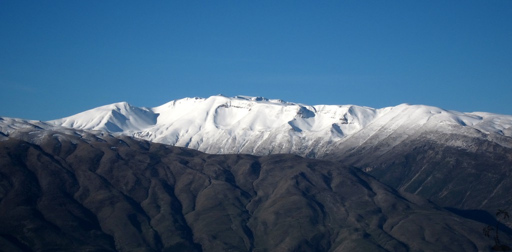
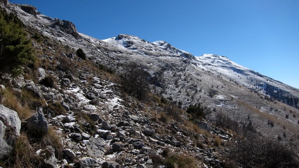
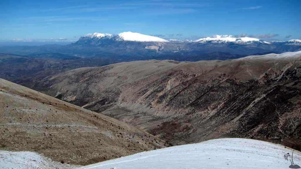
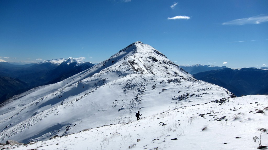
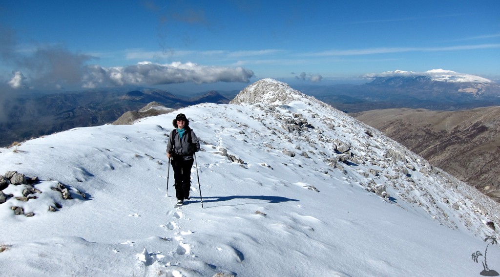
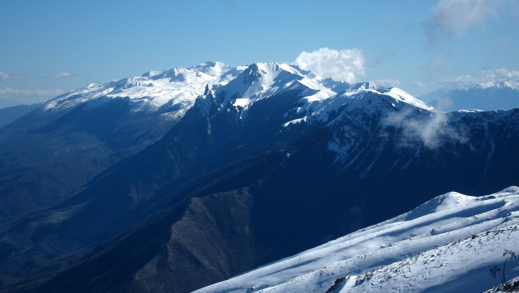
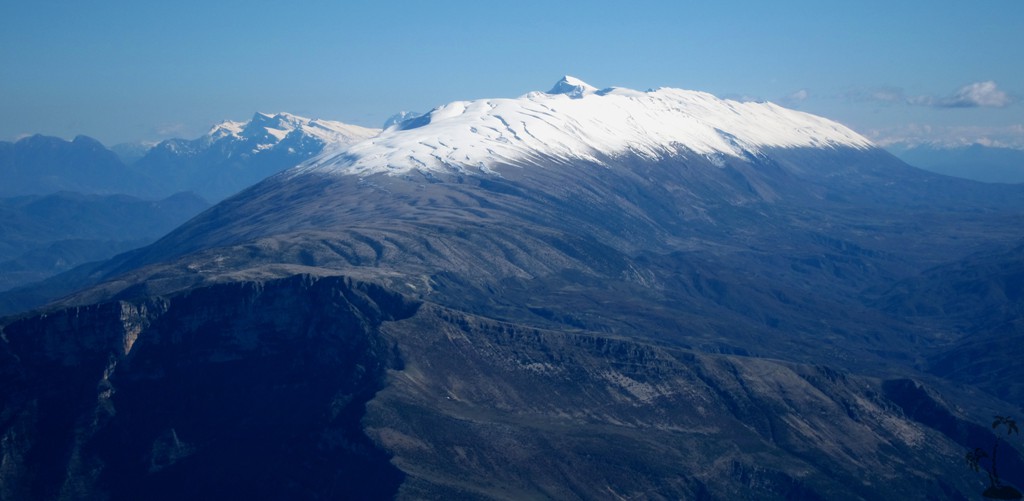
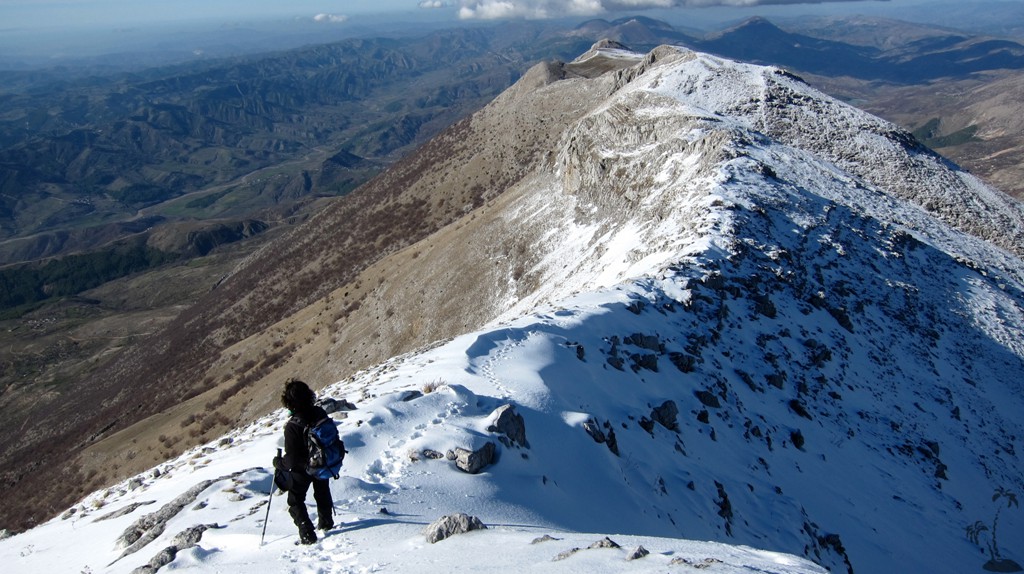
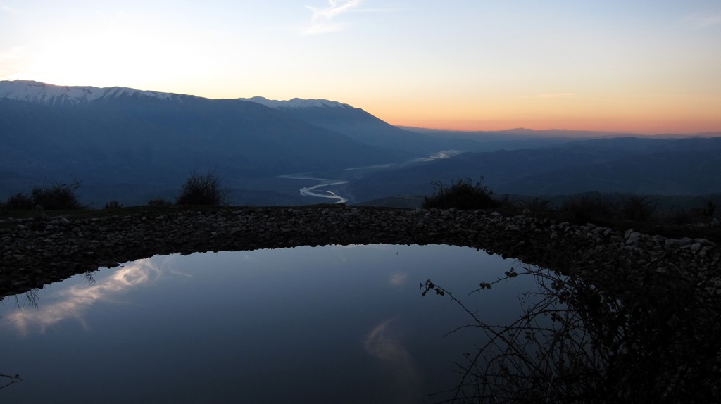
Sandwiched between endless rain and clouds, we got a glorious day. Mali i Shëndëllisë, topping 1800 Meter, is not the highest among the many summits of southern Albania. But it affords great views, particularly towards Kendervices - one of the big southern mountains whose summit cannot be seen from any major town. Kendervices is not frequently visited by tourists, but perhaps we can start a movement here.
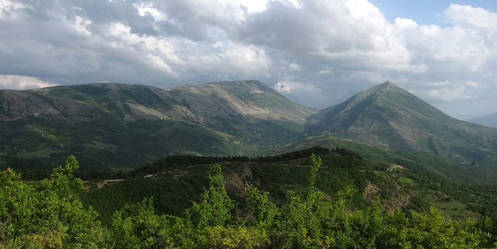
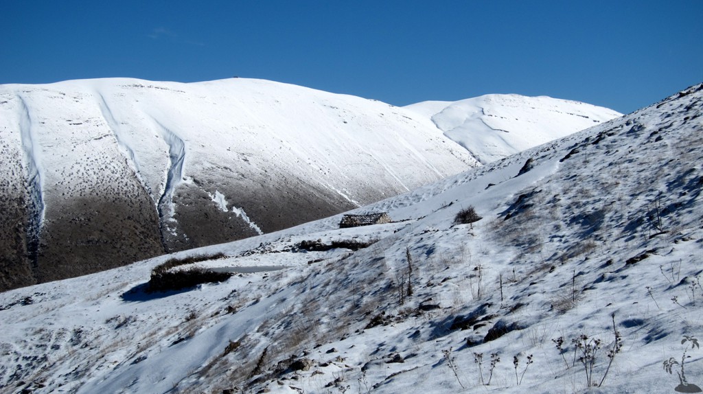
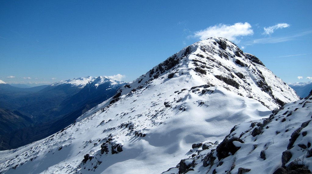
More views can be had to Papingut (Nemercke), Cajupi and Strakovecit. From Mali i Shëndëllisë, Strakovecit shows its most dramatic face, especially in winter conditions.
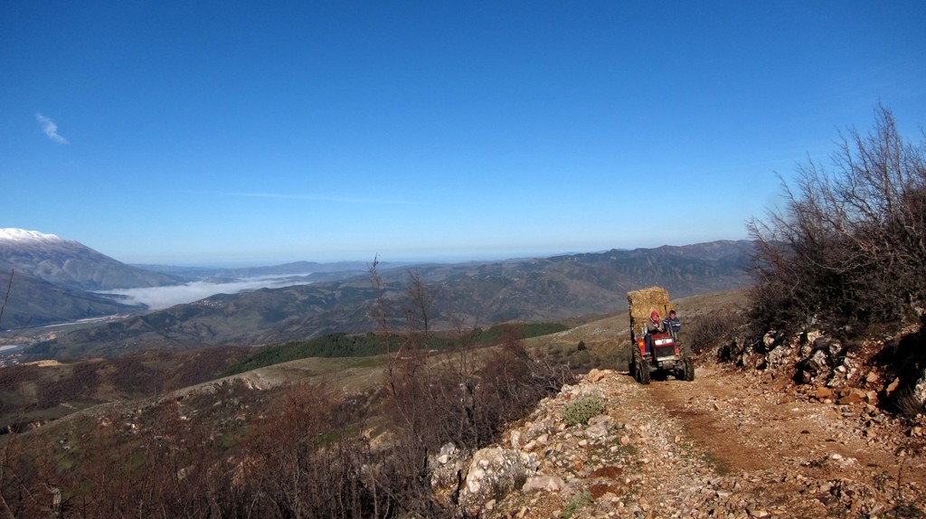
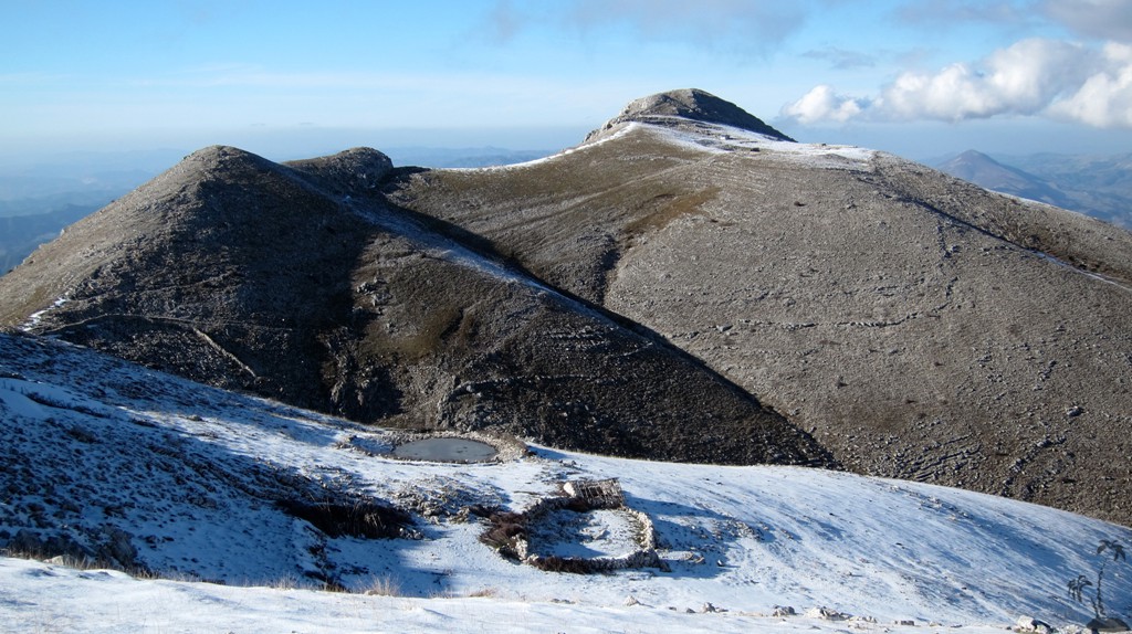
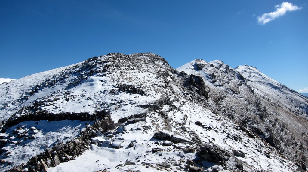
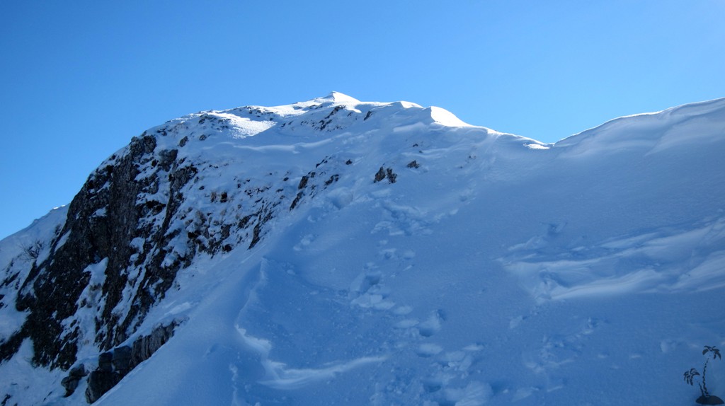
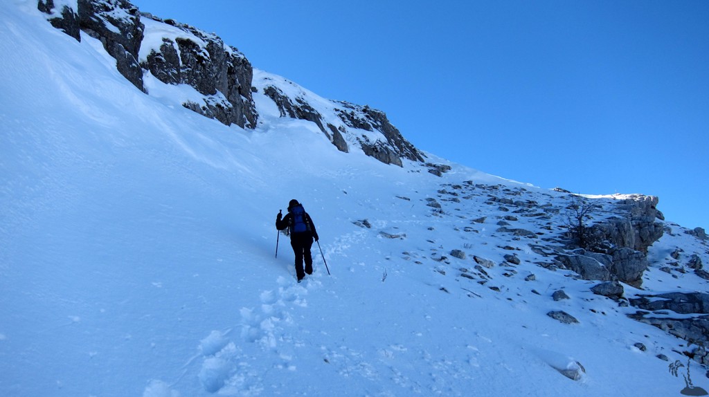
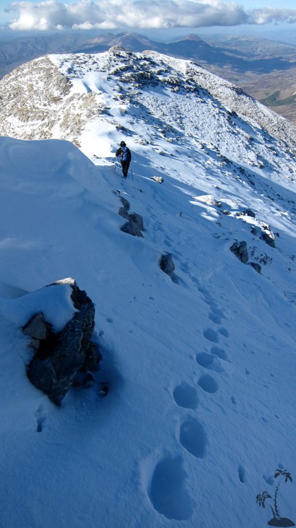
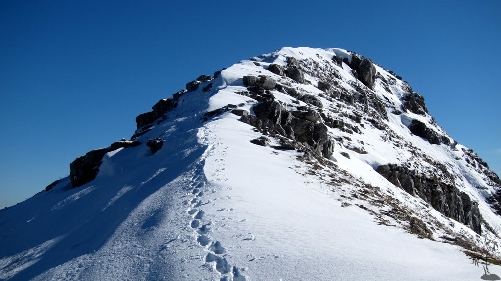
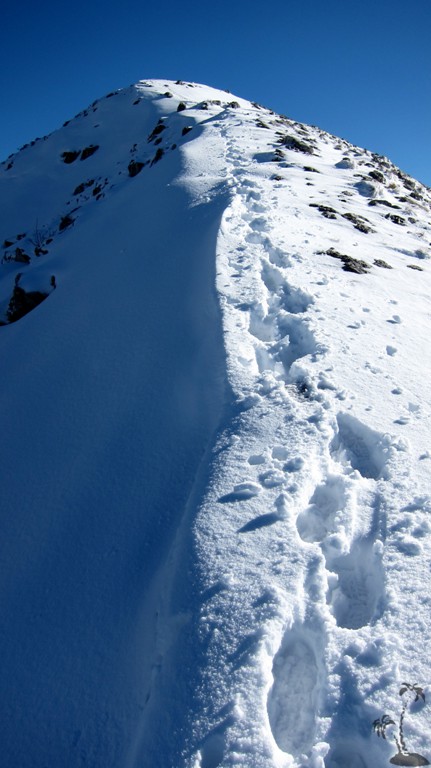
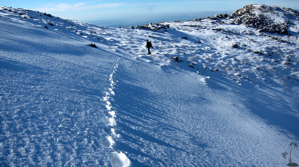
The Hike: Up to the ridge, the trail follows good paths, though care should be taken not to miss a turn. Paths become indistinct near the ridge. Because of the snow cover, we could not make out any path to the summit. Note that it is a 2.5 kilometer hike from the point where you reach the ridge to the summit. There are several false summits which must be crossed or bypassed.
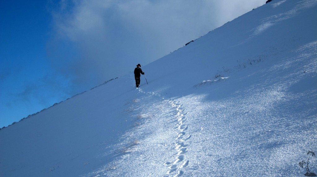
About 10 meter below the actual summit, a cornice blocked our way. We descended about 25 meter to the left to reach easier terrain to the summit. In summer, it might be possible to proceed straight to the summit along the ridge.
The first 2 kilometer from the trailhead are on a narrow road. Intrepid drivers may give it a try, though the road is more suitable for small tractors.
| Maximum altitude: | 1803 meter | ||||||||||||||||||||||
| Minimum altitude: | 720 meter | ||||||||||||||||||||||
| Cumulative height: | 1146 meter | ||||||||||||||||||||||
| Cumulative length: | 6.86 kilometer | ||||||||||||||||||||||
Difficulty
| moderate |
Time:
|
4.5 hours |
Date of this record |
February 2014 |
Download GPS info: |
Shendellise |
|
| |
|
|
|
|
|
|
|
|
|
|
|
|
|
|
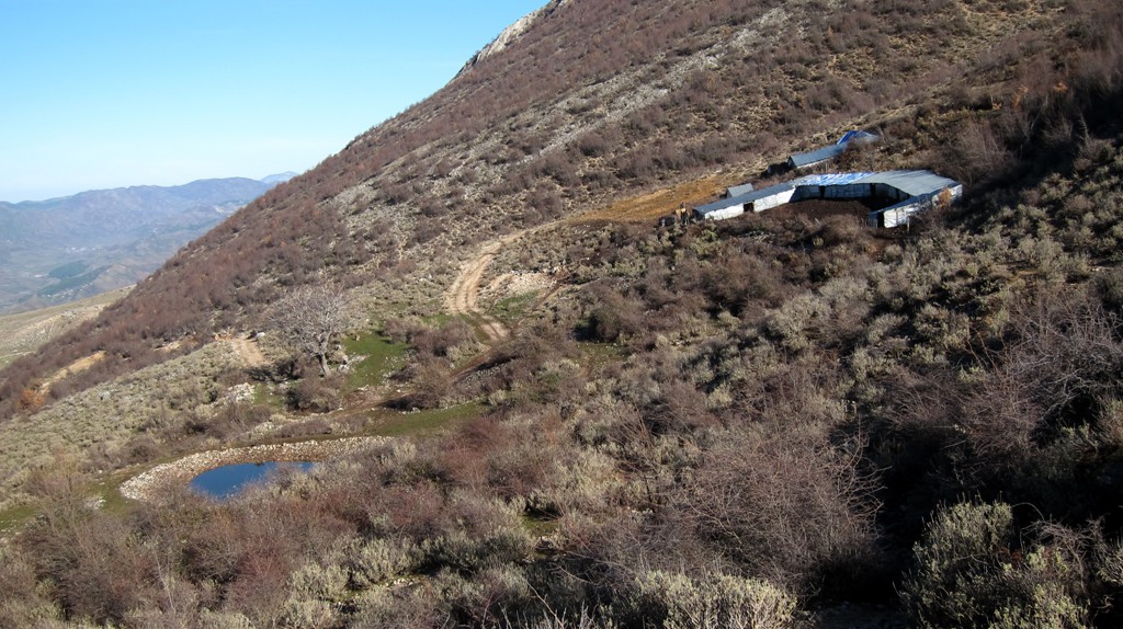
Drive to the Trailhead of Mali i Shëndëllisë: The turn off is near Memaliaj, once you leave the town in northern direction. There is now asphalt up to the village of Bylysh. From there, the dirt road is in reasonable condition, but not advisable in heavy rain. It is possible to start the hike in Bylysh, taking a shortcut through the forest to the village of Kashisht (where we parked). This will add another hour to the hike.
| Maximum altitude: | 728 meter | ||||||||||||||||||||||
| Minimum altitude: | 264 meter | ||||||||||||||||||||||
| Cumulative height: | 597 meter | ||||||||||||||||||||||
| Cumulative length: | 12.9 kilometer | ||||||||||||||||||||||
Difficulty
| easy |
Time:
|
1 hours |
Date of this record |
February 2014 |
Download GPS info: |
Trailhead Shendellise |
|
| |
|
|
|
|
|
|
|
|
|
|
|
|
|
|
General location and approach: Near Memaliaj, which is near Tepelene.
Other Information: There are hotels in Tepelene.

Google Earth: You may also view the trail in 3D by clicking "view in Google Earth" when on Wikiloc. You need to have Google Earth installed on your computer.