PALM TREE PRODUCTIONS
back to Albania site back to hikes and climbs back to Locations and Travel
Sotirë Waterfall![]()
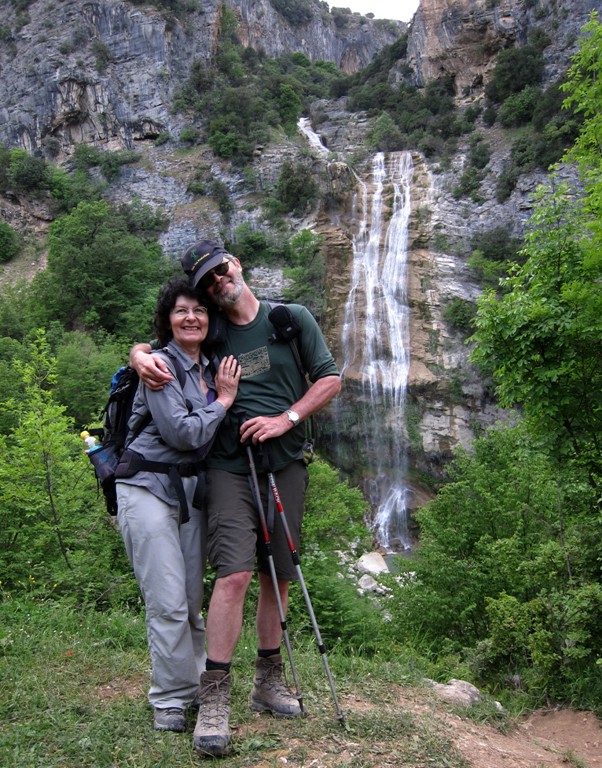
Summary: A half-day hike to one of the most impressive water falls in Albania. Quite eerily, the water emerges straight out of the rock.
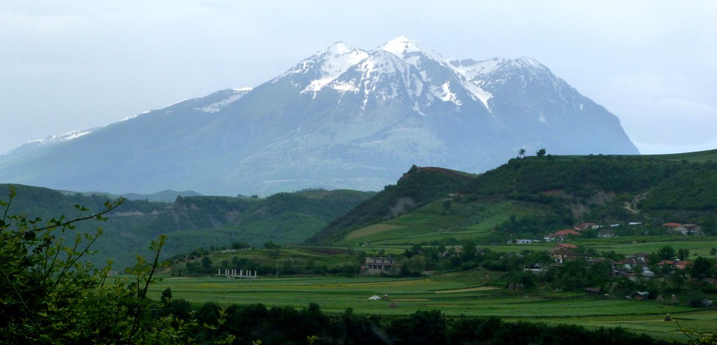
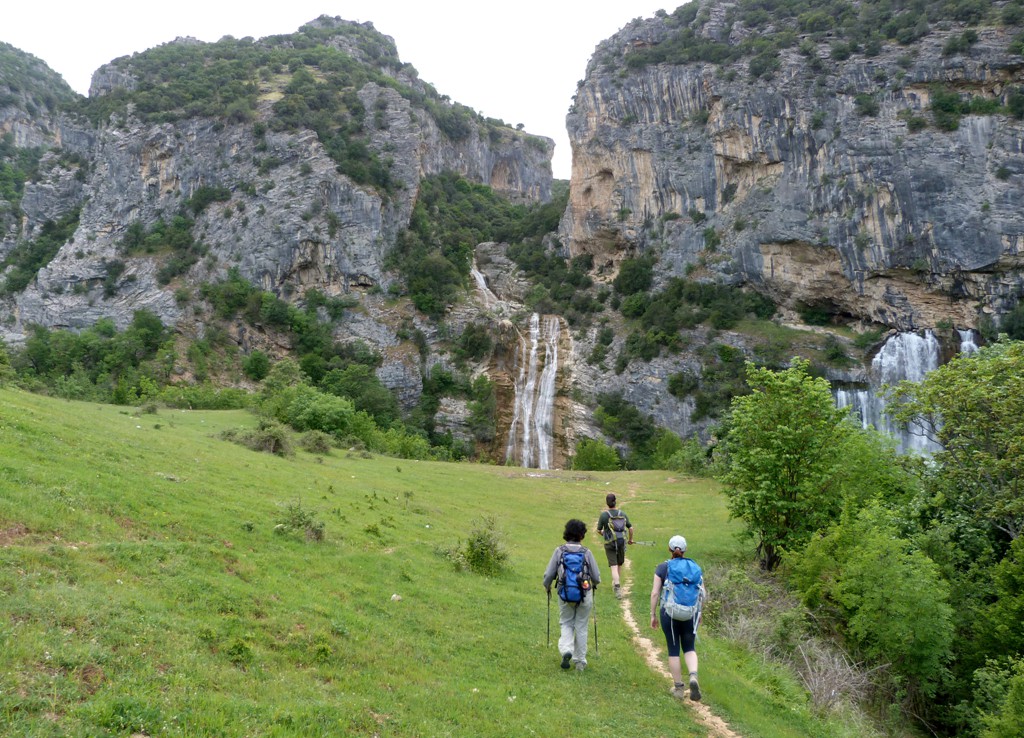
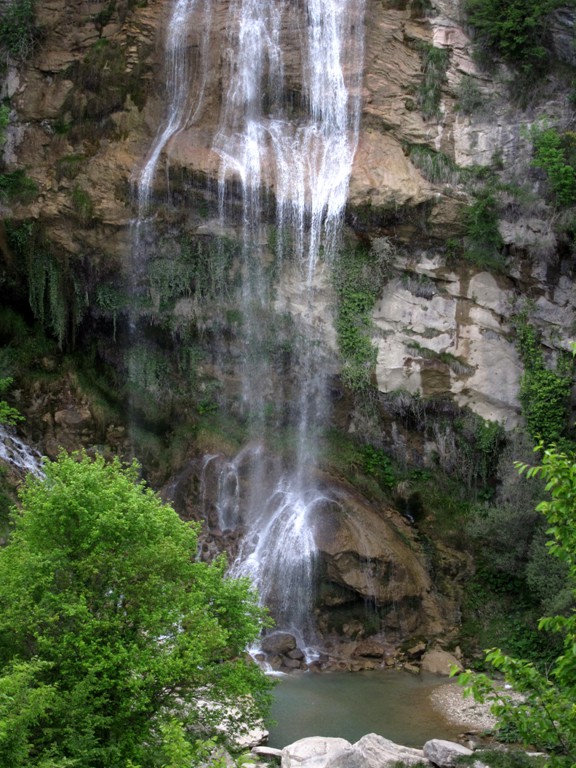
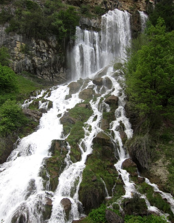
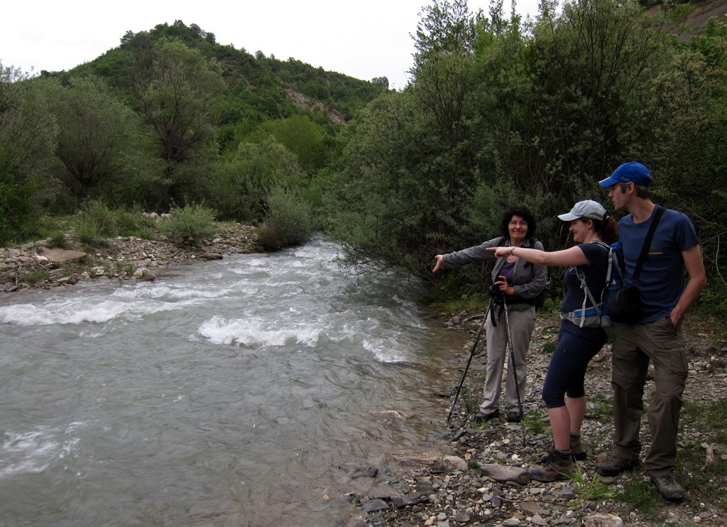
Sotirë falls are in fact two falls: one coming from higher-up, and slim. The other straight out of the rock face, broad and wild. Naturally, the falls are biggest in spring, when the melting snow of Tomorri Mountain feeds the underground currents leading to the falls.
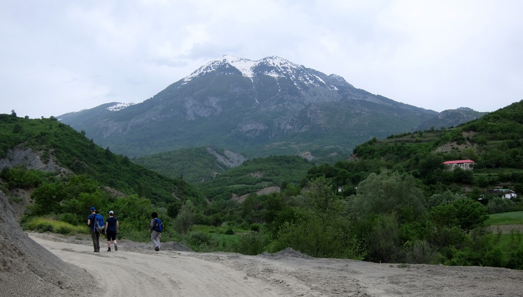
Our return trail follows a new construction road leading to the foot of the falls and a new hydropower plant. The road is dusty, and an eysore. It should be used possibly for the return hike, when time is pressing or darkness approaching. The better way is the old mulepath between Sotirë village and the falls.
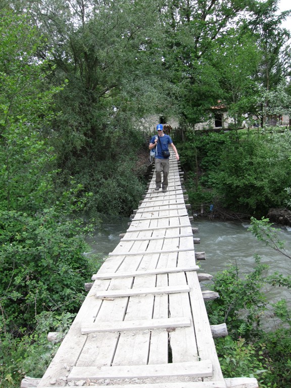
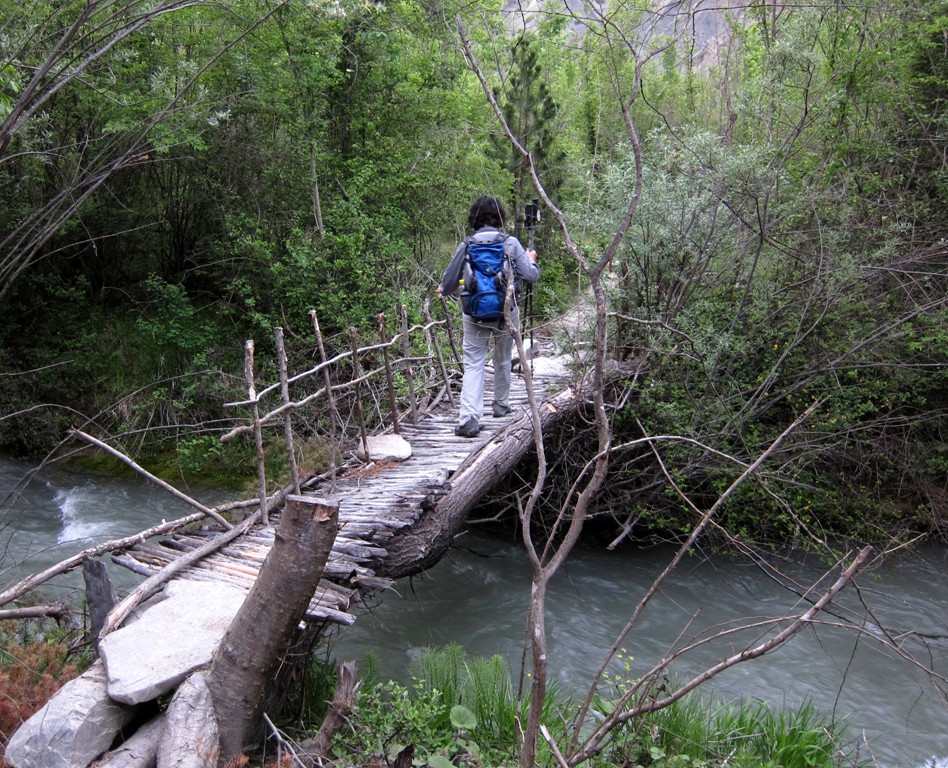
Care should be taken not to miss the bridge across the river, which can be a major obstacle when the water level is high.
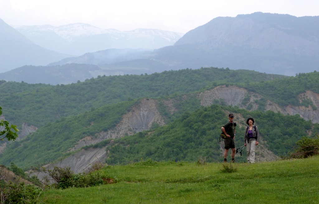
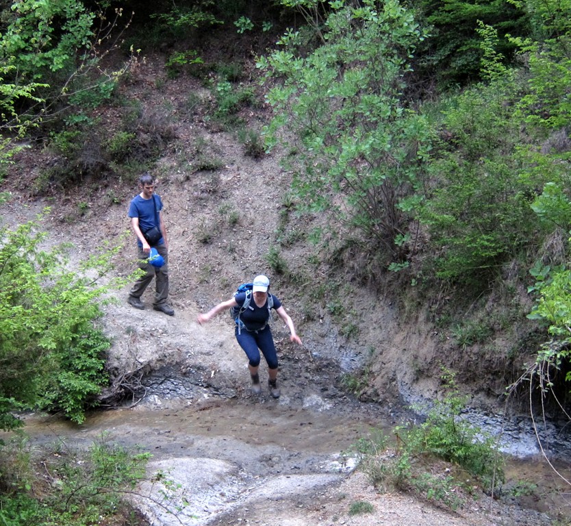
The paths approach the falls from a meadow higher-up. From the meadow, one has excellent views of the falls. A little more dramatic is the descent into the gorge to the foot of the falls. This descends for about 30 meter on a potentially slippery and exposed path. The falling waters moderate the temperature - it can in fact get quite cold at the bottom of the falls. For the views, you don't miss anything if you stay on top of the meadow.
| Maximum altitude: | 418 meter |
| Minimum altitude: | 288 meter |
| Cumulative height: | 179 meter |
| Cumulative length: | 6.9 kilometer roundtrip |
| Difficulty | easy |
| Time: | 3 hour |
| Date of this record | May 2013 |
| Download GPS info: | Sotirë Waterfall |
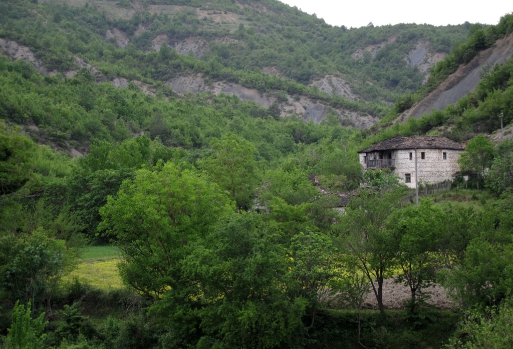
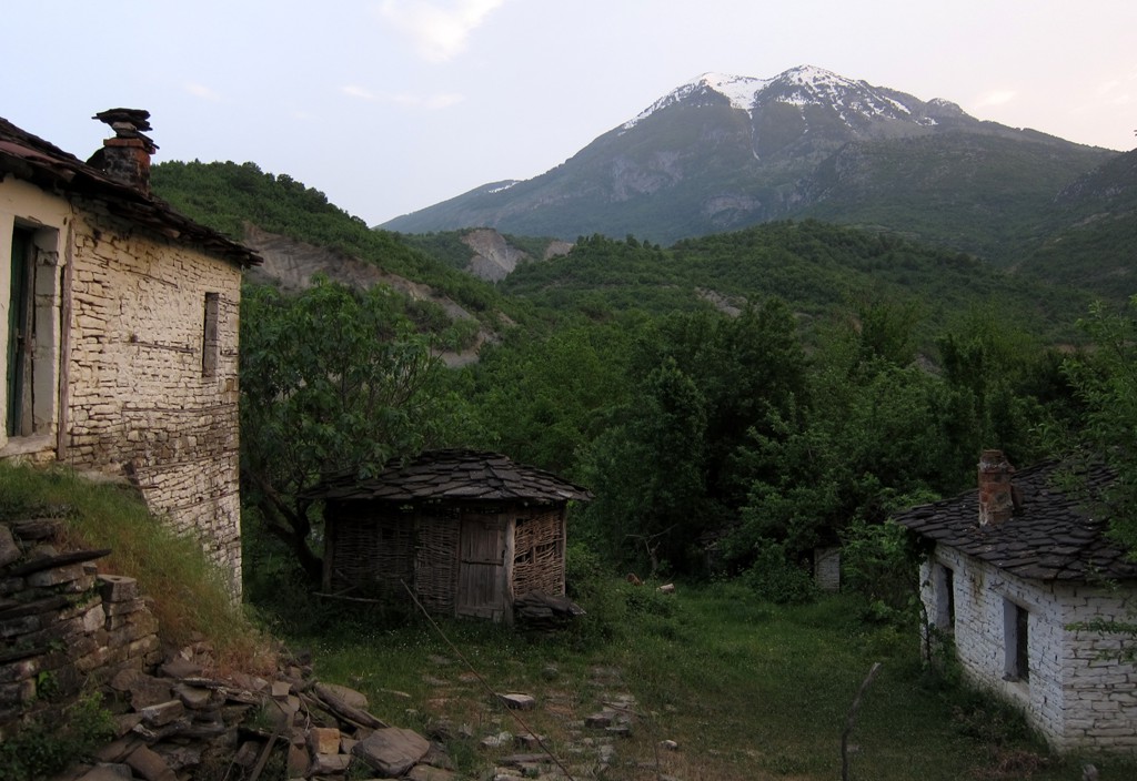
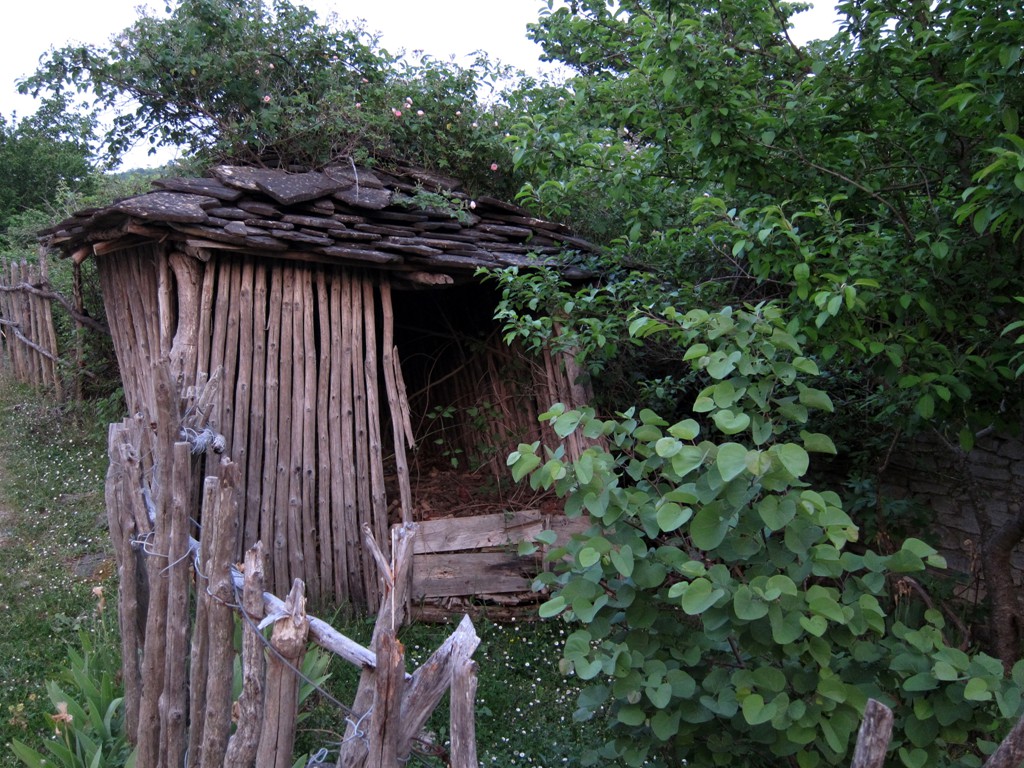
General location and approach: About 15 kilomter south of Gramsh, on the other side of the Devoll River, is the village of Sotirë. Furgons (minibuses) go to Sotirë, but a high clearance vehicle is advisable. The road poses no difficulty - but don't make this your first ever 4WD experience. Park the car in the village and start walking - or try to get closer to the falls by following the road, for which a 4WD might be necessary as long as construction work continues.
Other Information: There might be a time that the road to the falls will get asphalt (as we were told by enthusiastic Sotirë citizens). This will enhace the touristic potential, and we hope that the place will remain as beautiful as it was.
GPS and trailmaps: The map and
trailinformation is generated by
![]() , based
on GPS information collected from the actual hike. Waypoints
can be downloaded to a GPS device from Wikiloc. If necessary, use
GPSBabel to
convert GPS data to different formats. For more
hike descriptions by Palmtreetreeproduction, browse this
website or visit Wikiloc
and search for "Palmtreeproduction". You may also find
nearby trails from other authors.
, based
on GPS information collected from the actual hike. Waypoints
can be downloaded to a GPS device from Wikiloc. If necessary, use
GPSBabel to
convert GPS data to different formats. For more
hike descriptions by Palmtreetreeproduction, browse this
website or visit Wikiloc
and search for "Palmtreeproduction". You may also find
nearby trails from other authors.
Google Earth: You may also view the trail in 3D when viewing it in Google Earth, which you need to have installed on your computer. The 3D perspective allows a good preview of gradients, steepness, possible views and is generally helpful when planning a trip.