PALM TREE PRODUCTIONS
back to Albania site back to hikes and climbs back to Locations and Travel
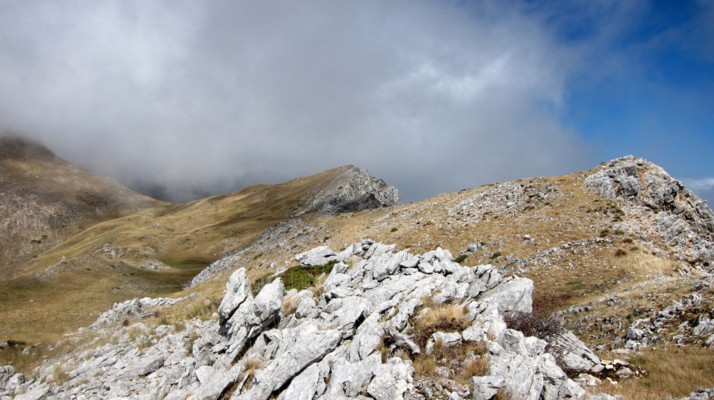
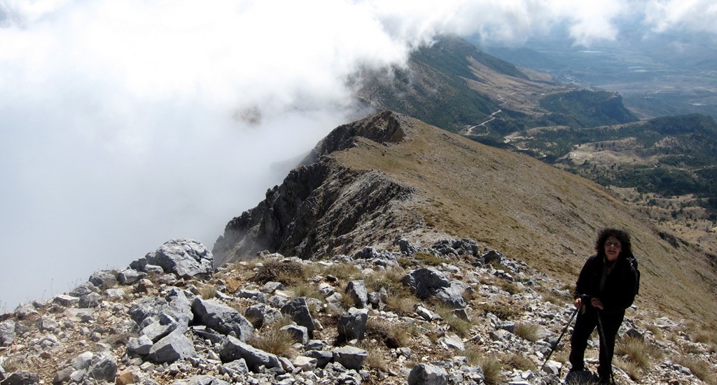
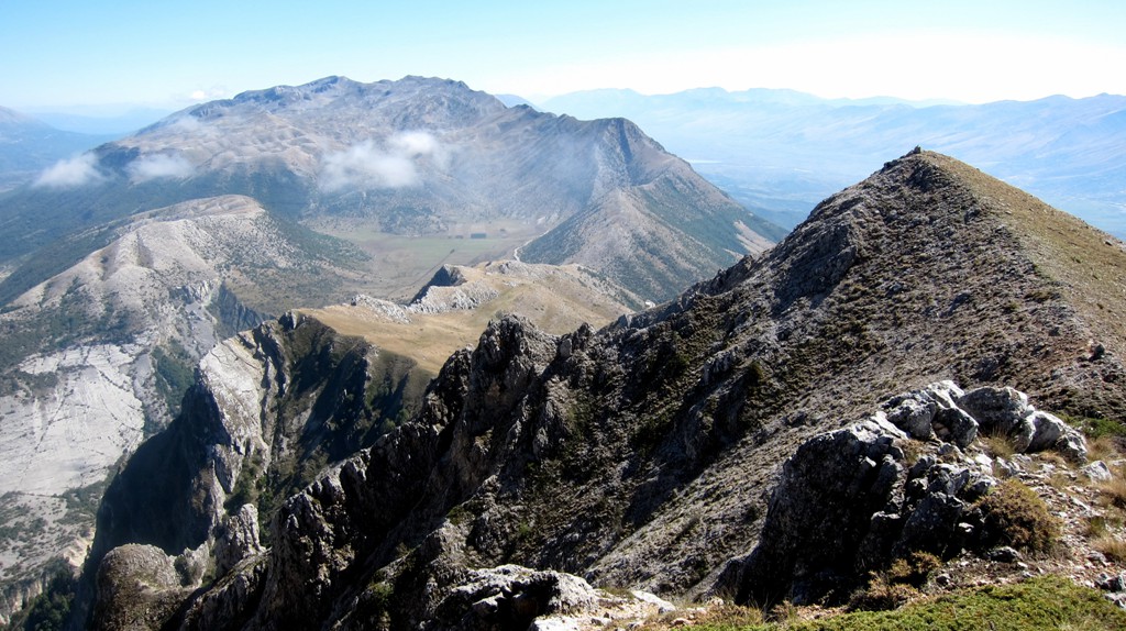
Along the edge - Maja e Strakovecit![]()
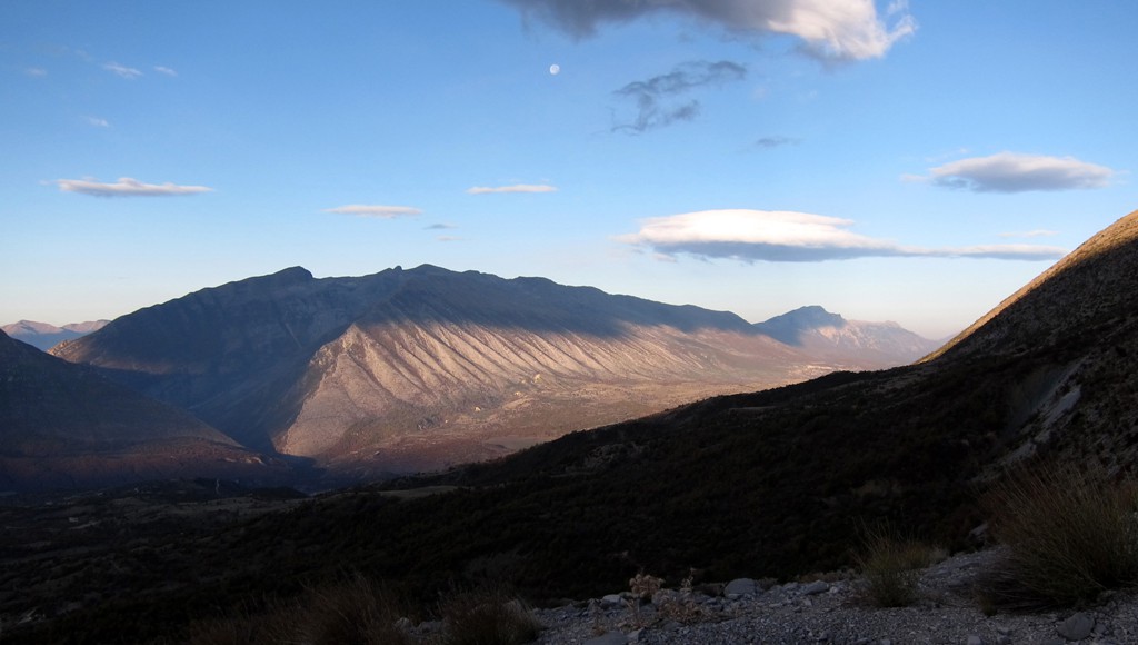
Summary: What looks like something from one side may look a different matter from the other side. Mali i Lunxherise is one of those two-faced mountains.
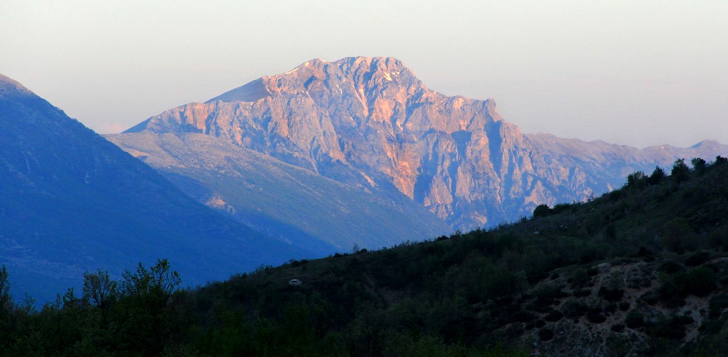
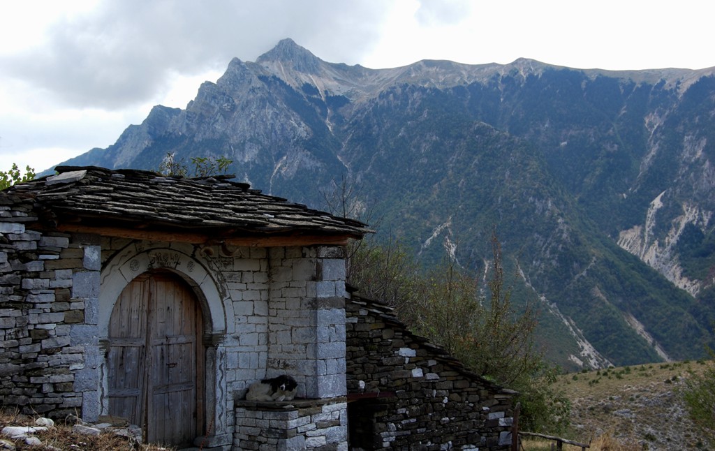
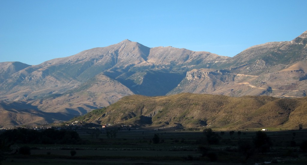
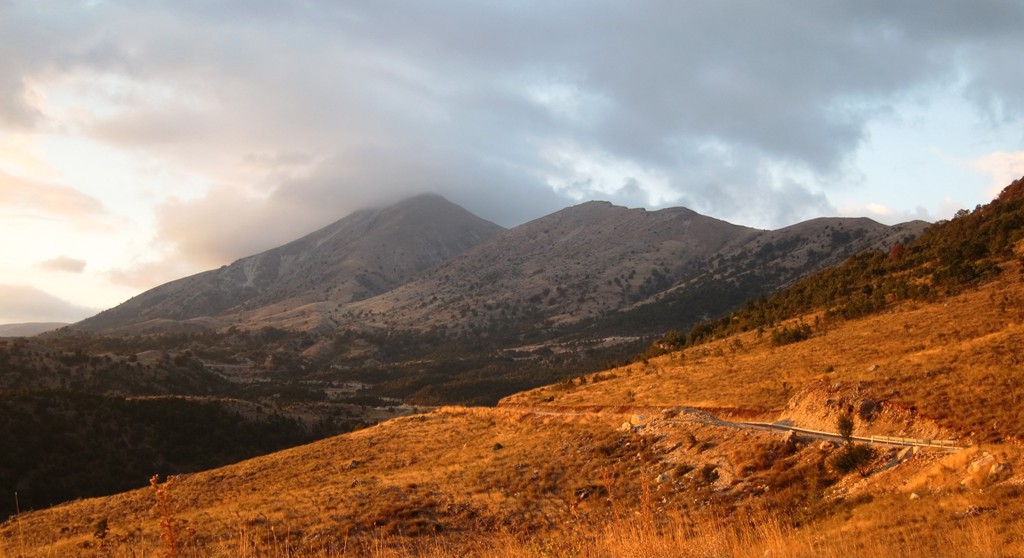
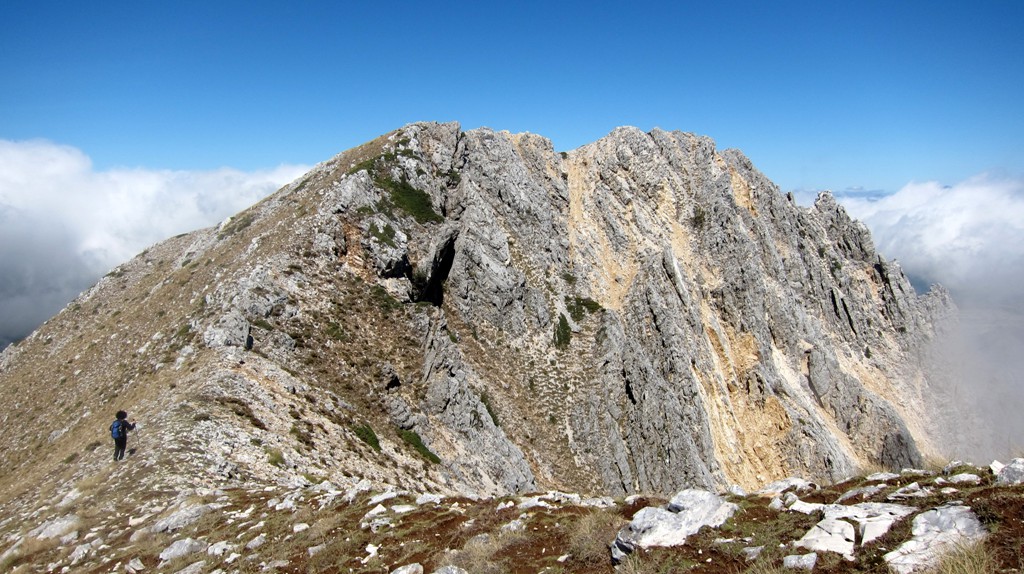
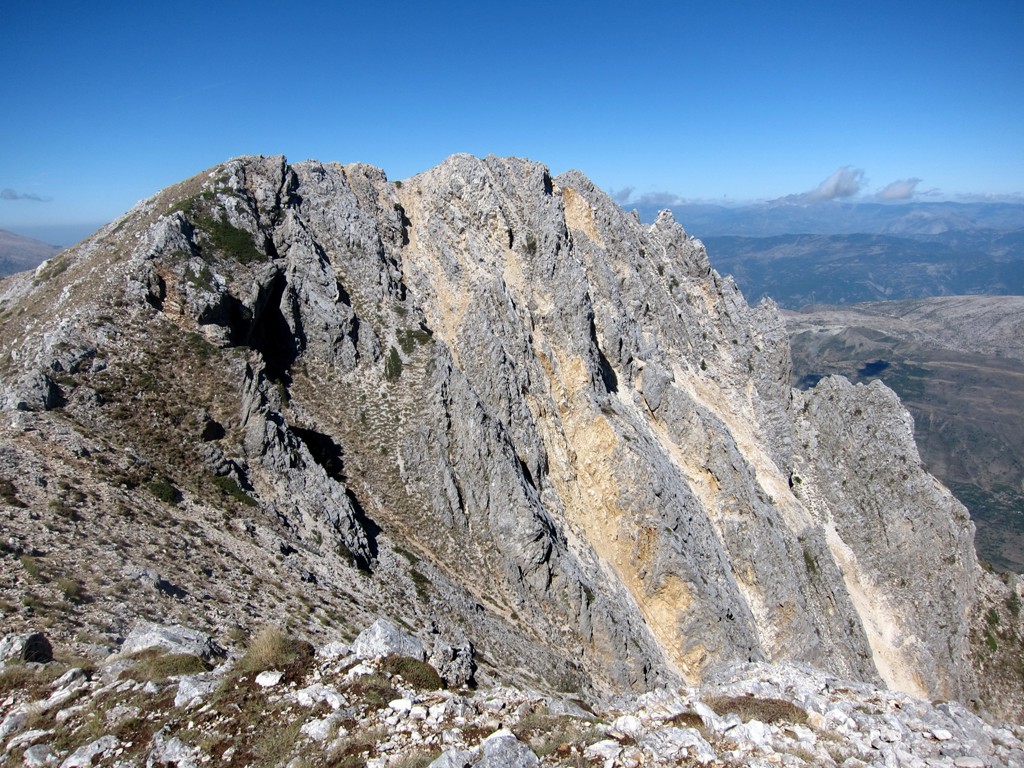
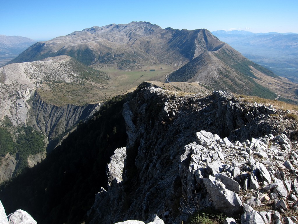
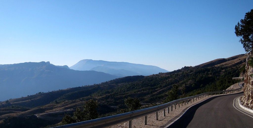
Lunxherise is the mountain range east of Gjirokastra. It looks not like much from Gjirokastra - more or less like a humangeous loaf of bread - but from the Zagoria valley it becomes a different matter. Seen from there, a lot of drama unfolds, with steep cliffs and deep ravines.
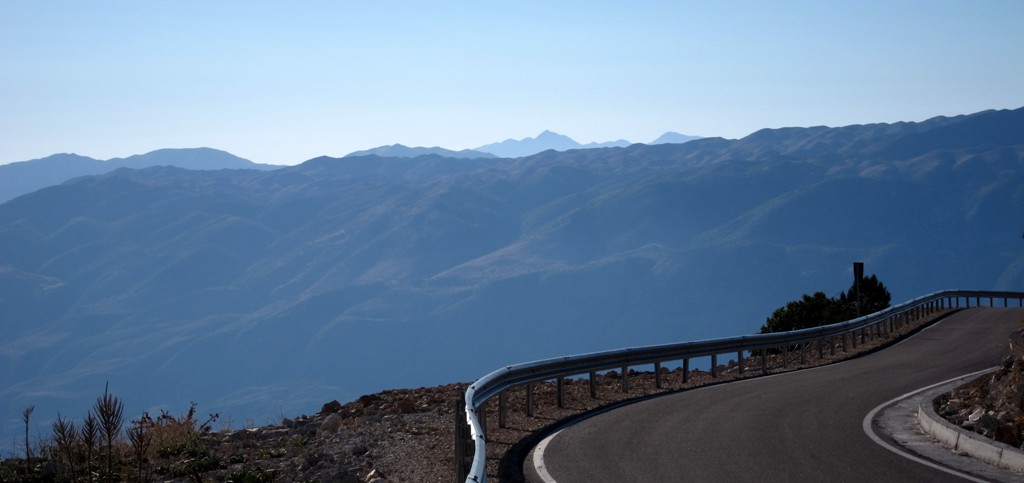
Maja e Strakovecit is the northern summit of the Lunxherise, spearated from the 14 kilometer distant main summit by the pass to Fushë e Cajupit. Fushë Cajupt is a vast grazing area. It is so productive that an asphalt road has been built to an altitude of 1300 Meter, giving convenient access to Strakovecit.
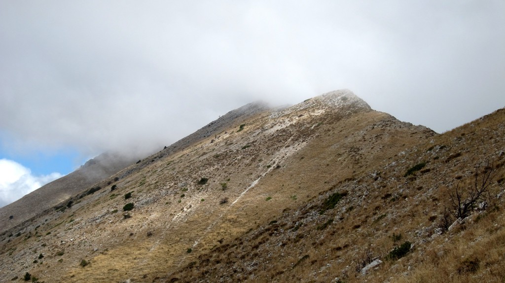
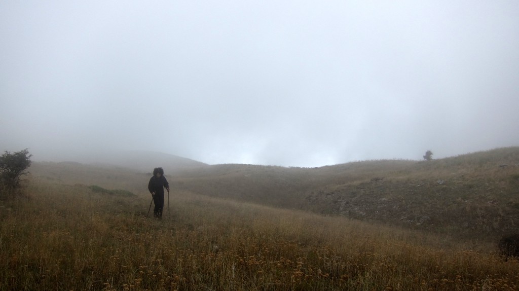
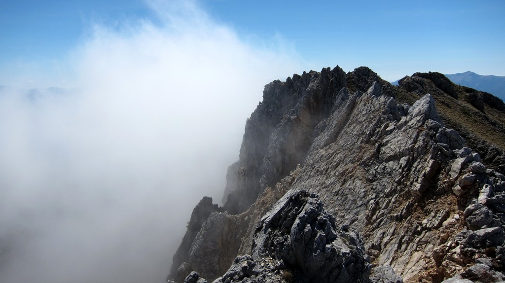
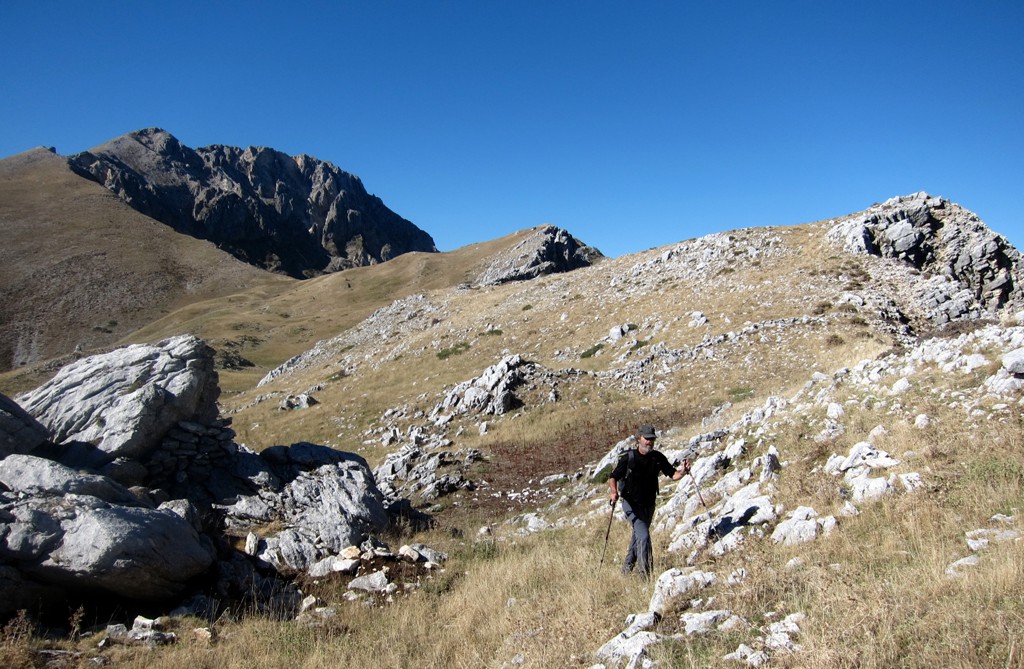
While not particularly strenuous, a hike to the summit of Strakovecit is a hike along the edge. We hiked it when clouds were swirling around the ridge, hiding the vertical drops and steep summit cliffs until we stepped on them. Perhaps, with different weather, the route may be considered more easy - or more intimidating, depending on your feel for heights.
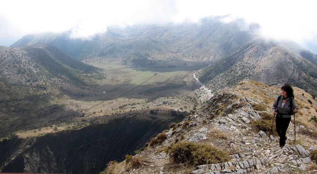
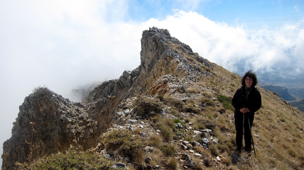
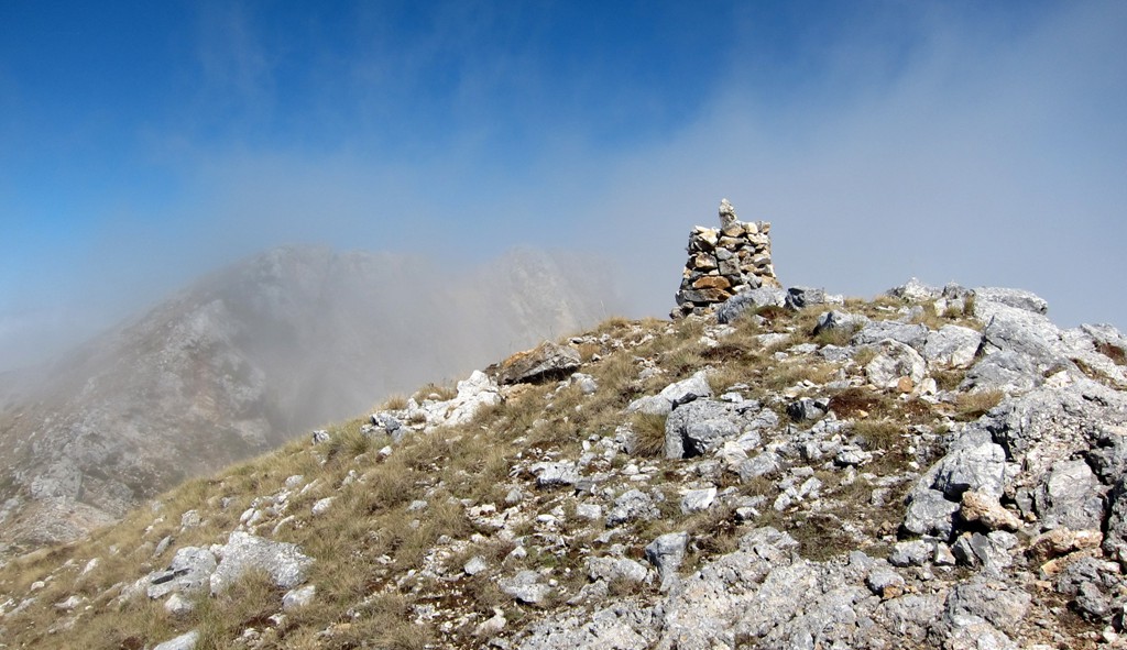
At the top of the mountain, we were not sure about the true summit, and ventured out onto some cliffs. This can be fun - or not. It is not necessary anyway, as the true summit is on the top of the grassy ridge.
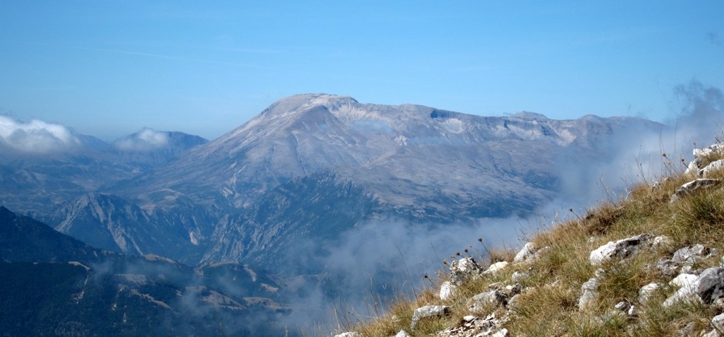
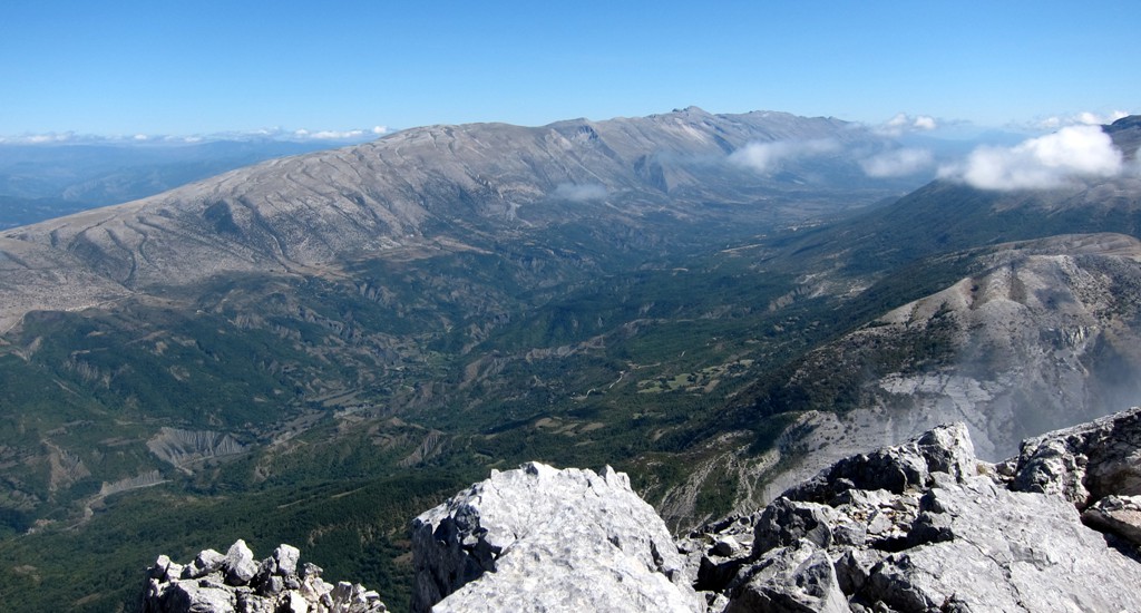
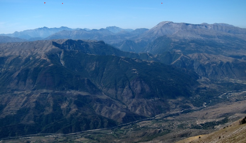
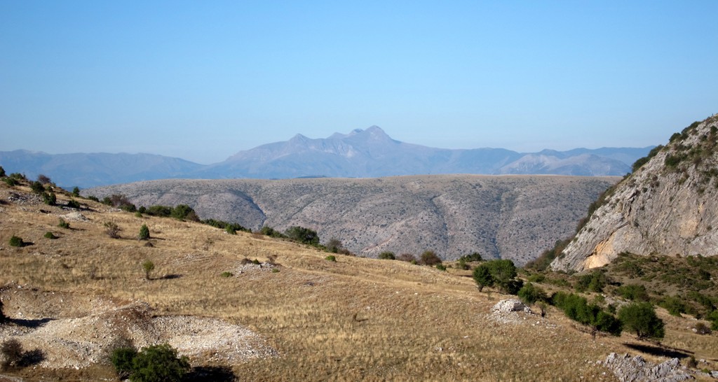
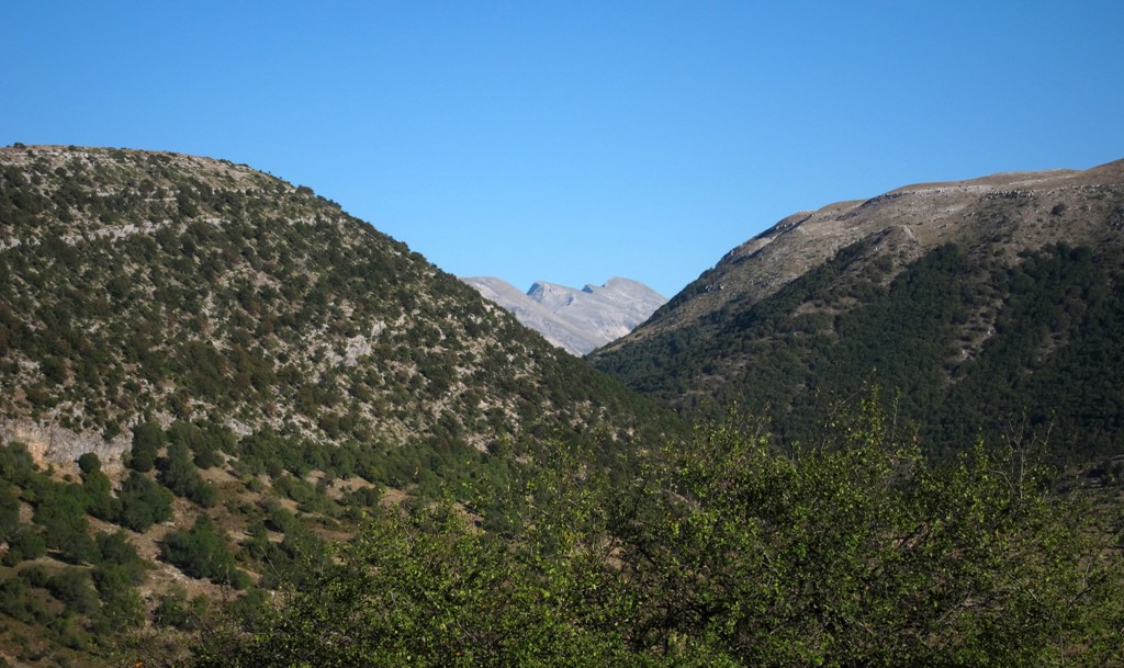
The views are extraordinary. Although measured at only 1956 Meter, Maja e Strakovecit offers sights of almost everything that may interest mountaineers in southern Albania. And, of course, into the broad valleys of Zagoria, the Gjirokastra plains, the cannabis-producing town of Lazarat and other points of interest.
| Maximum altitude: | 1956 meter |
| Minimum altitude: | 1320 meter |
| Cumulative height: | 683 meter |
| Cumulative length: | 4 kilometer one way |
| Difficulty | moderate |
| Time: | 3 hours one way or less |
| Date of this record | September 2012 |
| Download GPS info: | Strakovecit |
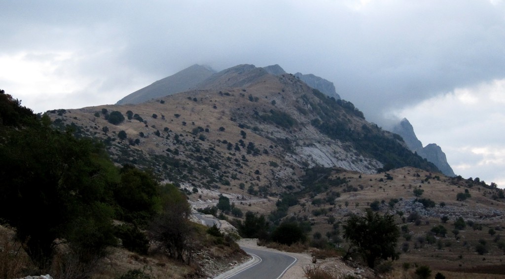
General location and approach: From the northern roundabout in Gjirokastra, head across the river and towards the other side of the valley. Follow the asphalt road to Cajupit
Other Information: Because of the good access road, and the not very long distance to the summit, the hike can be done easily from an overnight in Gjirokastra.
GPS and trailmaps: The map and trailinformation is generated by www.wikiloc.org, based on GPS information collected from the actual hike. Waypoints can be downloaded to a GPS device from Wikiloc. If necessary, use GPSBabel to convert GPS data to different formats. For more hike descriptions by Palmtreetreeproduction, browse this website or visit Wikiloc and search for "Palmtreeproduction". You may also find nearby trails from other authors.
Google Earth: You may also view the trail in 3D by viewing it directly in Google Earth. You need to have Google Earth installed on your computer. Activate "wikiloc"in the "Gallery" menu in Google earth.