PALM TREE PRODUCTIONS
back to Albania site back to hikes and climbs back to Locations and Travel
Mali i Stugarës![]()
Summary: We went to Mali i Stugarës, we climbed it in March, we had a good time and enjoyed it. But it was only after we continued our way towards Kakavije, that we realized how beautiful Mali i Stugares is.
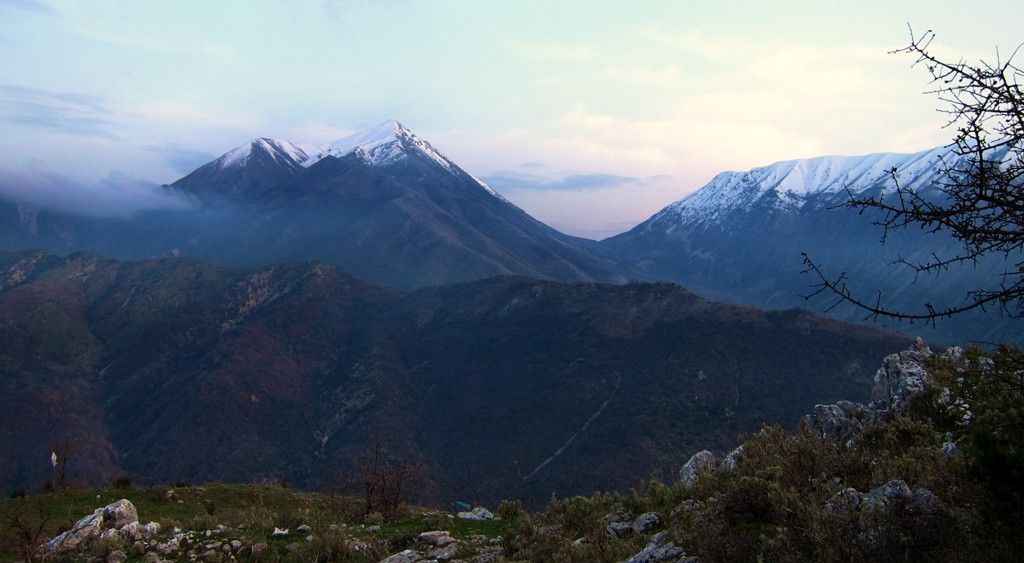
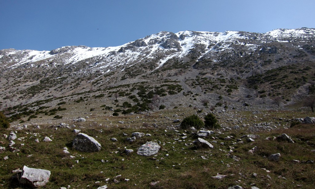
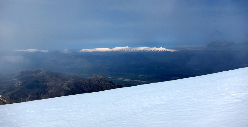
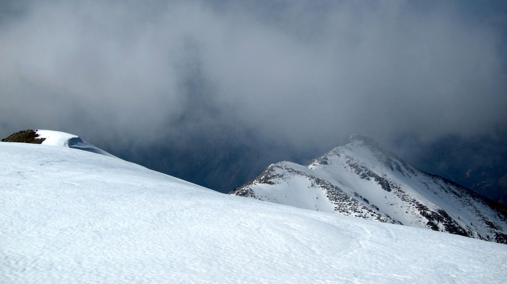
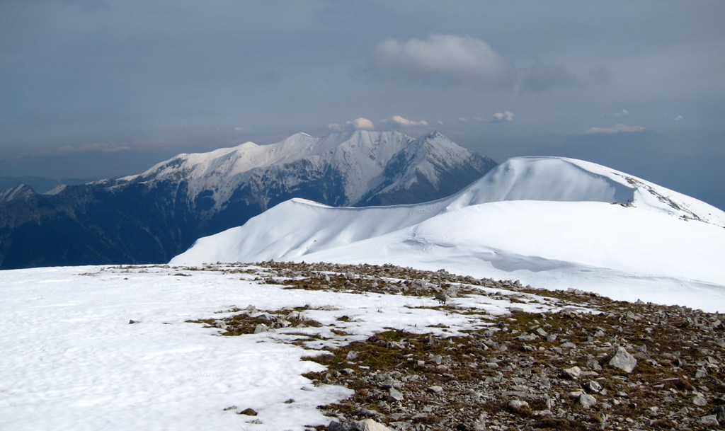
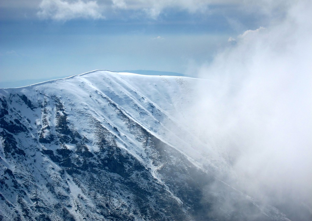
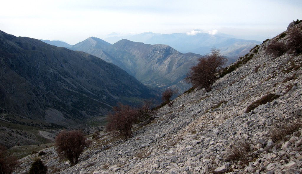
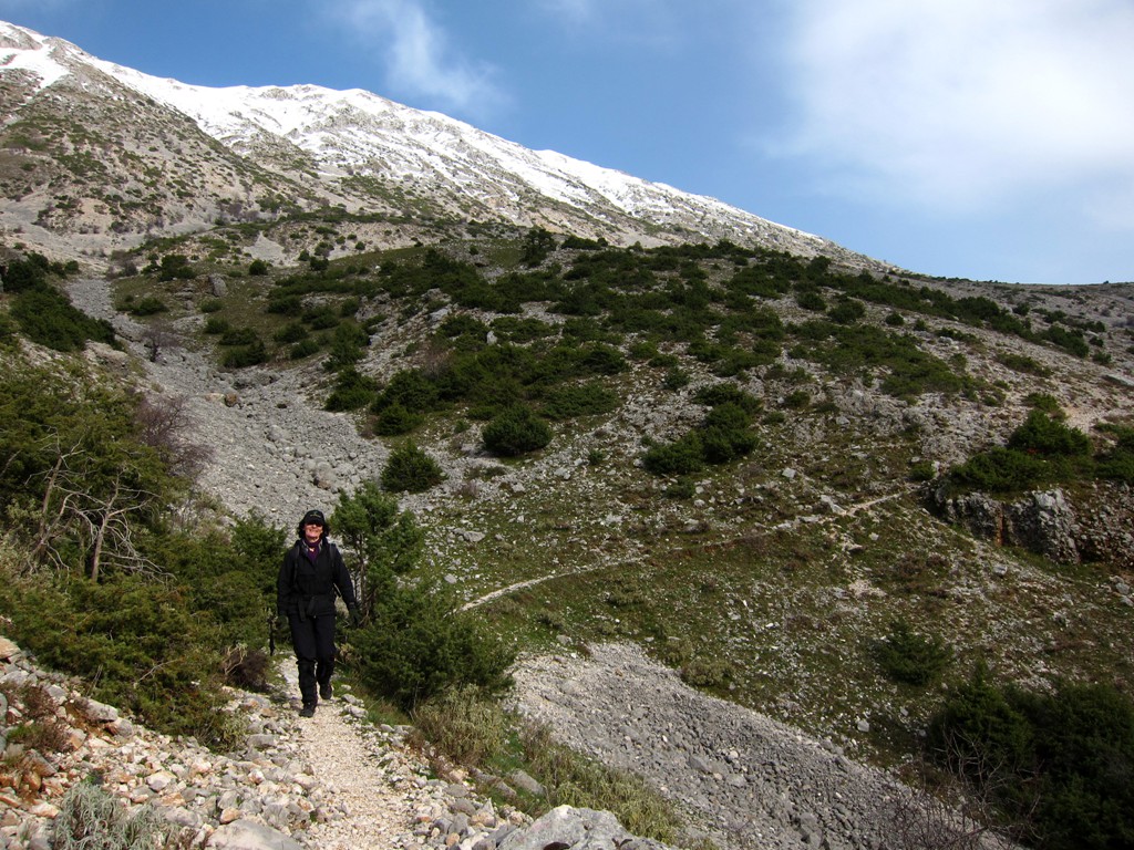
Mali i Stugares is the second highest summit in the mountain range separating Greece and Albania between Sarande and Kakavije border controls. With 1771 Meter, it is about 35 Meters lower than Mourgana. More to its disadvantage, it is almost invisible from Albania, unless you really get close. The best view of Stugares is to be had from the (difficult) road from Leshnice to Kakavije. See below:
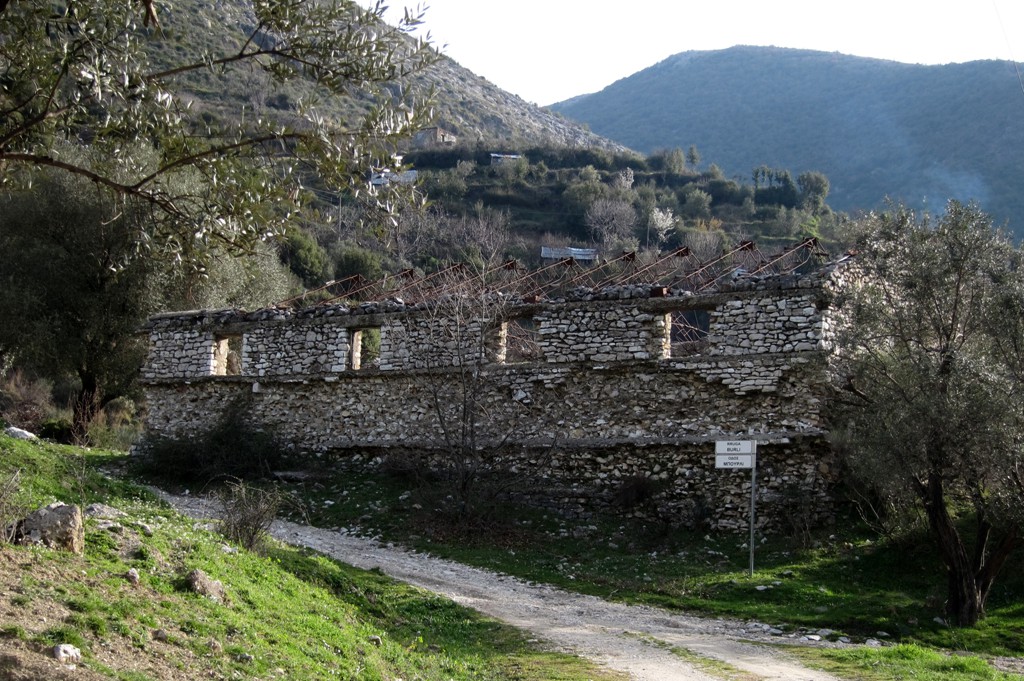
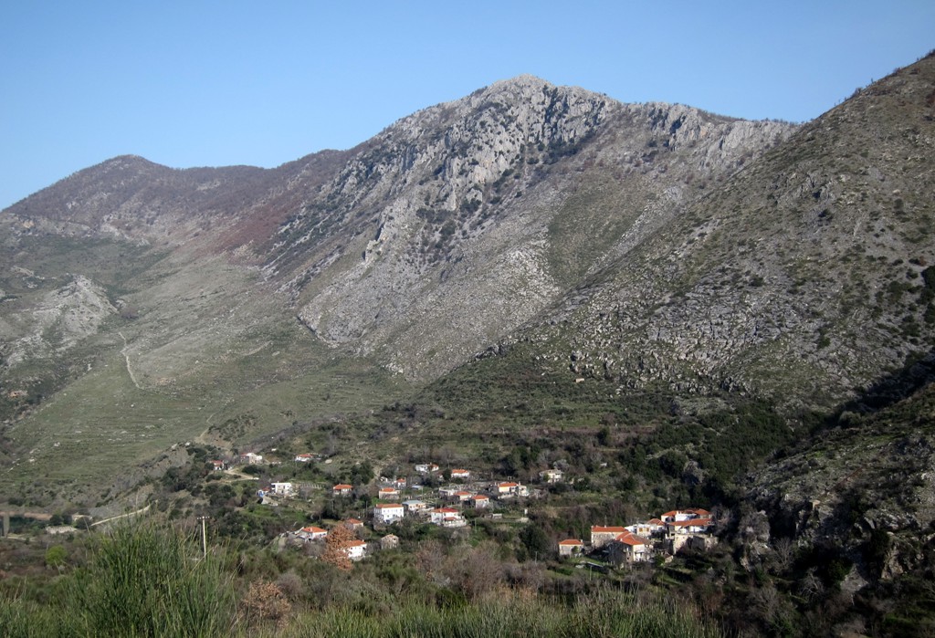
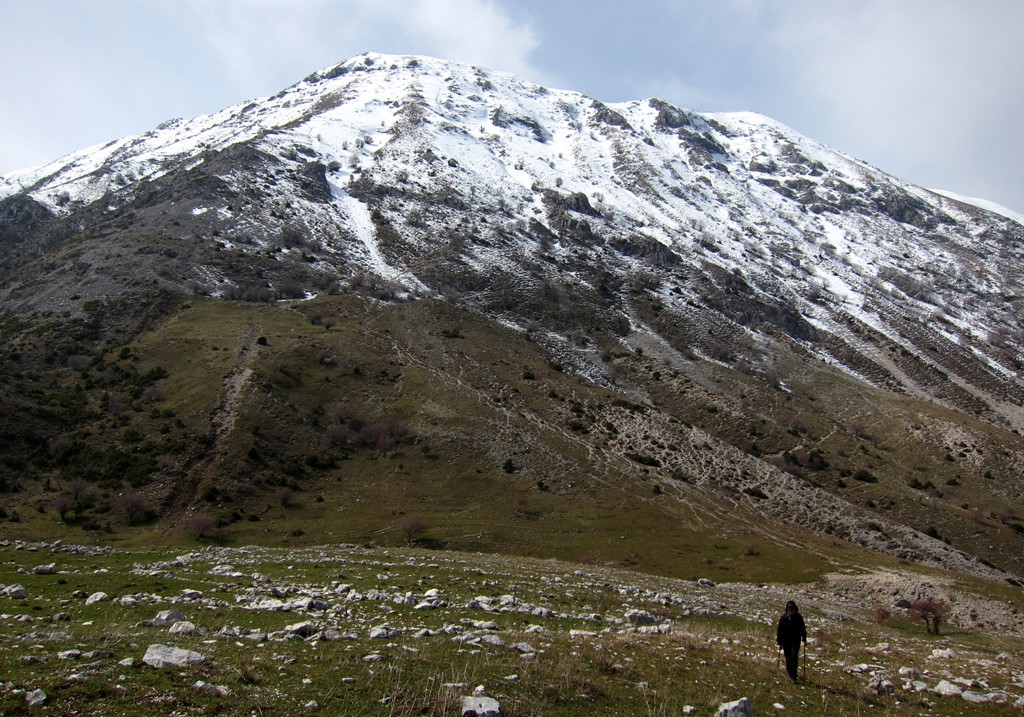
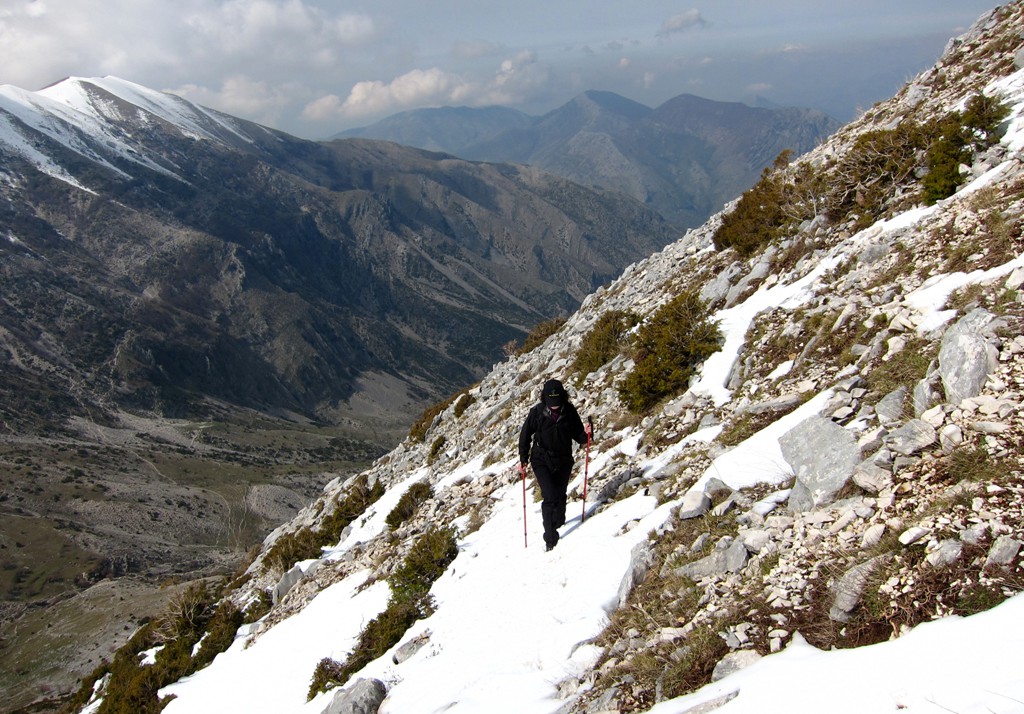
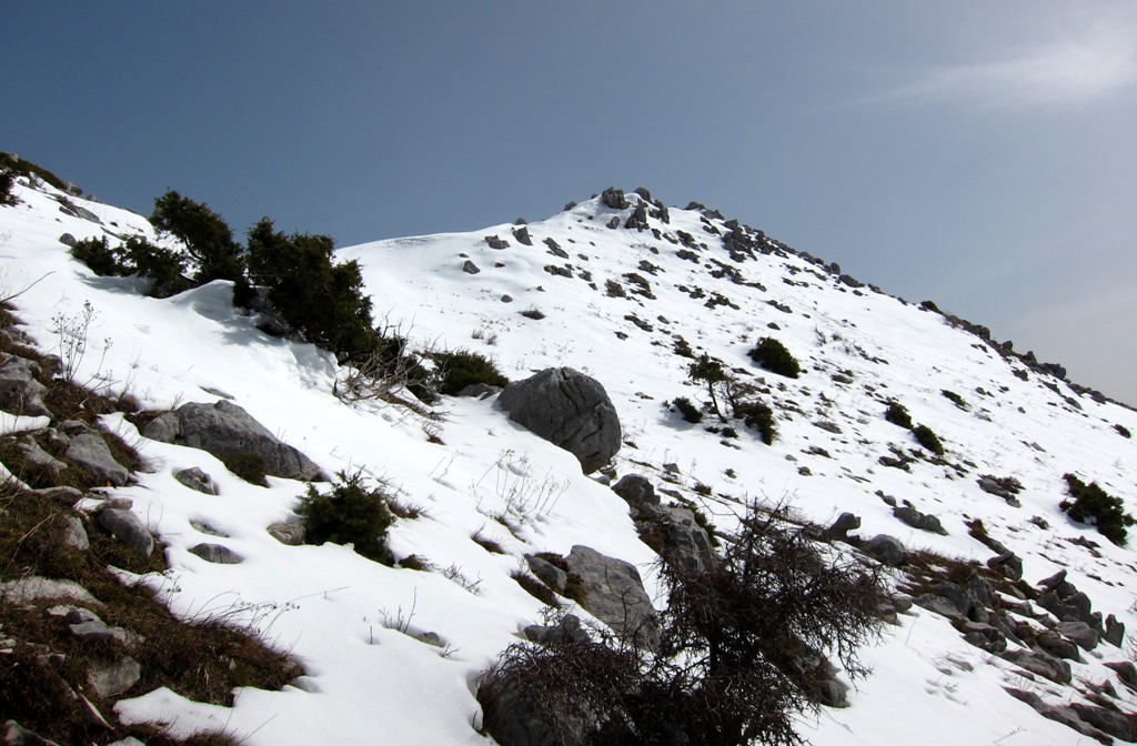
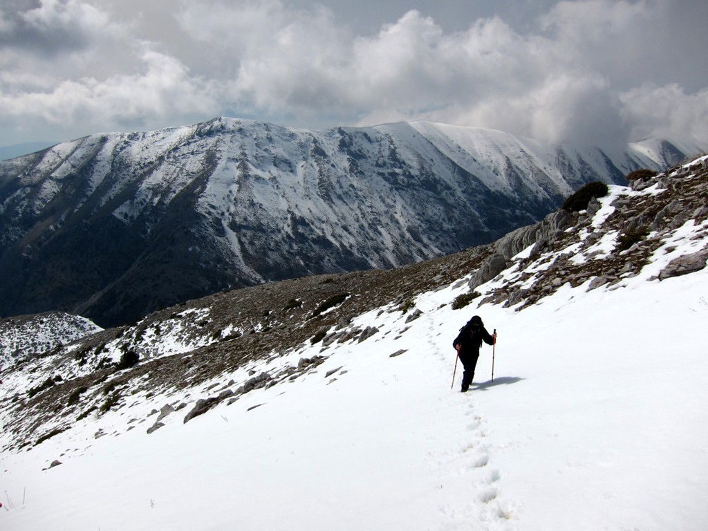
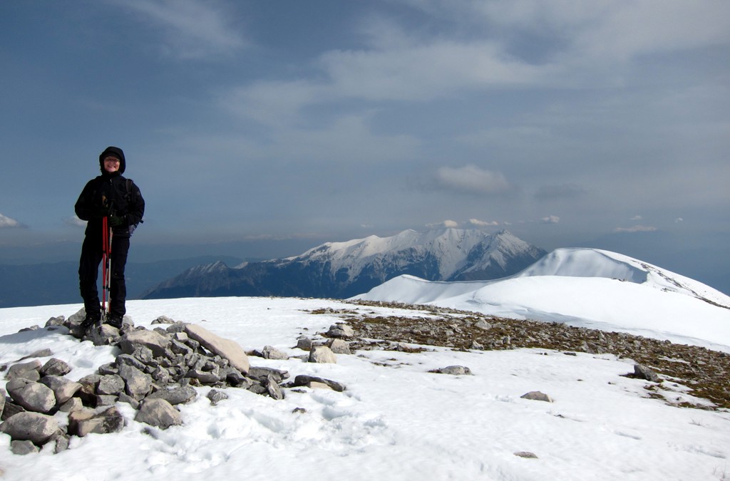
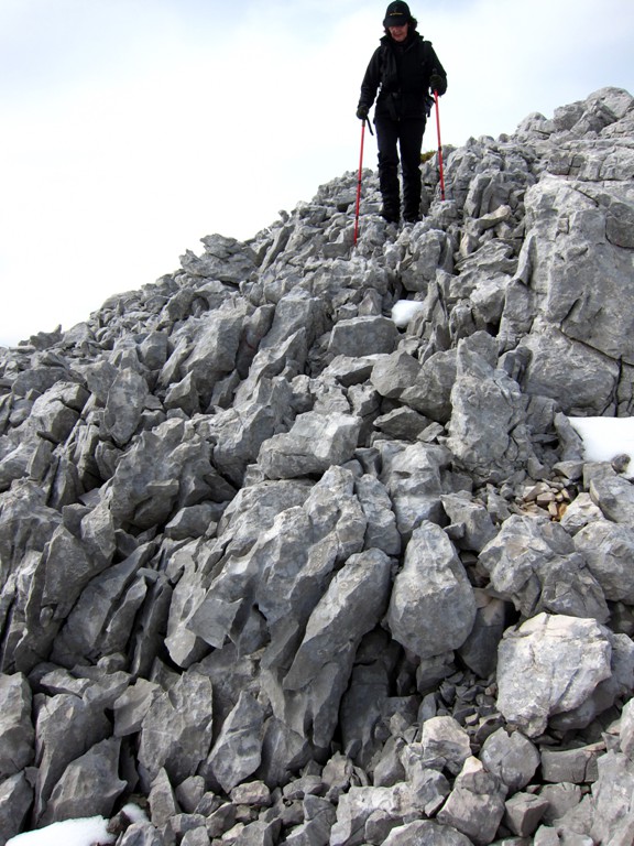
The Hike: The hike starts in the village of Kocat, near Leshnicë. Most villages in the area are almost deserted, though there always seem to be some families determined to stay, and even invest. The trail leads on a good path into the saddle between Mali i Stugares and Mali i Shendenikut. There is a road from Greece coming close to this pass. From here, follow faint tracks more or less straight up to the summit, more or less along the (invisible) border to Greece.
| Maximum altitude: | 1771 meter | ||||||||||||||||||||||
| Minimum altitude: | 663 meter | ||||||||||||||||||||||
| Cumulative height: | 1120 meter | ||||||||||||||||||||||
| Cumulative length: | 5.13 kilometer | ||||||||||||||||||||||
Difficulty
| moderate |
Time:
|
4.5 hours |
Date of this record |
March 2014 |
Download GPS info: |
Stugares |
|
| |
|
|
|
|
|
|
|
|
|
|
|
|
|
|
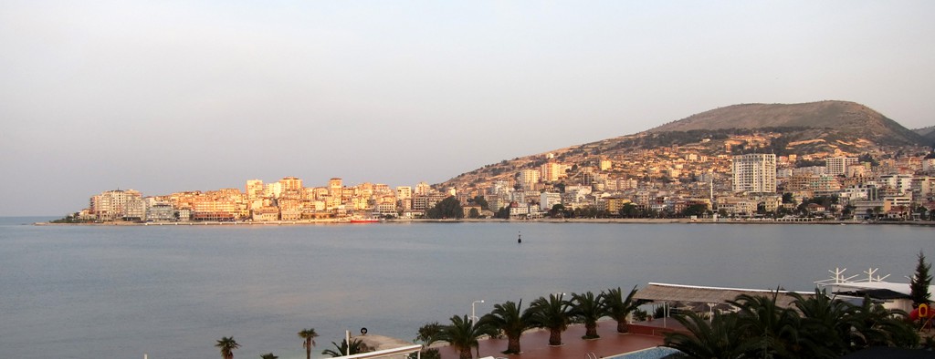
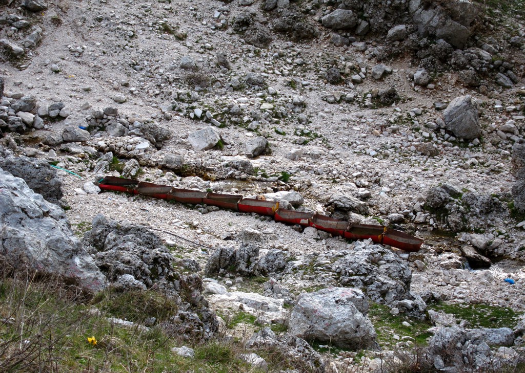
Drive to the Trailhead of Mali i Stugares: The aim is to reach the village of Kocat. This can be done from Sarande. Up to the village of Dhiver is asphalt. From there, a reasonable dirt track leads to Leshnicë. In Leshnice, cross a river and follow a track to Kocat, where the road ends.
Back at the ford, continue the road to Leshnice e Siperme. According to old maps, the road ends here. A new track has been established a few years ago, but from waypoint 05 up to the first pass at waypoint 07, the road is in poor condition due to erosion. A rather uncomfortable spot is near waypoint 06, where the road goes over a bump (so you don't see where you are going), makes a sharp turn with a steep gradient, along a precipitous drop, all at the same time. After waypoint 07, you can relax, as the road is in reasonable condition, though it is still a long way to Kakavije.
| Maximum altitude: | 925 meter | ||||||||||||||||||||||
| Minimum altitude: | 15 meter | ||||||||||||||||||||||
| Cumulative height: | 1498 meter | ||||||||||||||||||||||
| Cumulative length: | 48 kilometer | ||||||||||||||||||||||
Difficulty
| moderate, with some exposure |
Time:
|
4 hours |
Date of this record |
March 2014 |
Download GPS info: |
Sarande to Kakavije |
|
| |
|
|
|
|
|
|
|
|
|
|
|
|
|
|
General location and approach: South of the Sarande - Kakavije asphalt road.
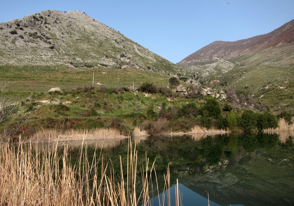
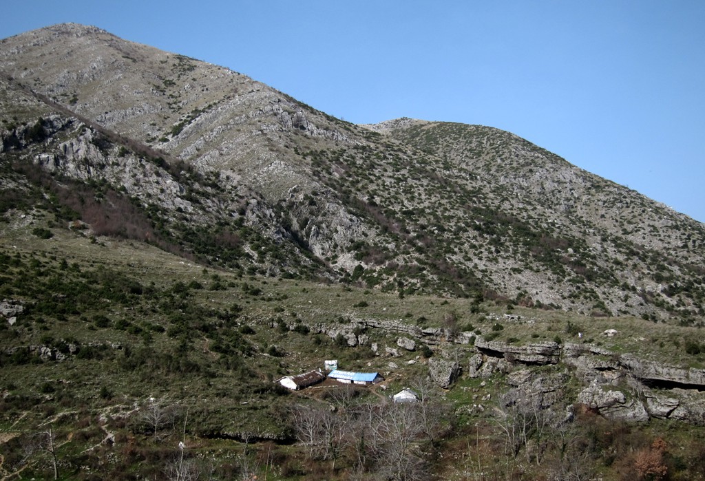
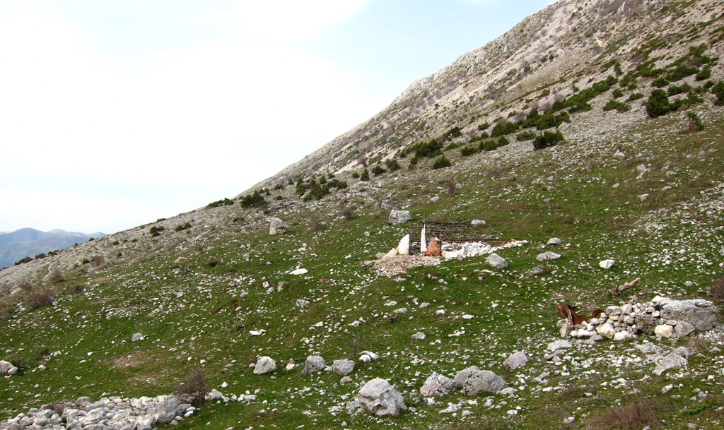
Other Information: This is a remote and largely uninhabited area.
Google Earth: You may also view the trail in 3D by clicking "view in Google Earth" when on Wikiloc. You need to have Google Earth installed on your computer.