PALM TREE PRODUCTIONS
back to Albania site back to hikes and climbs back to Locations and Travel
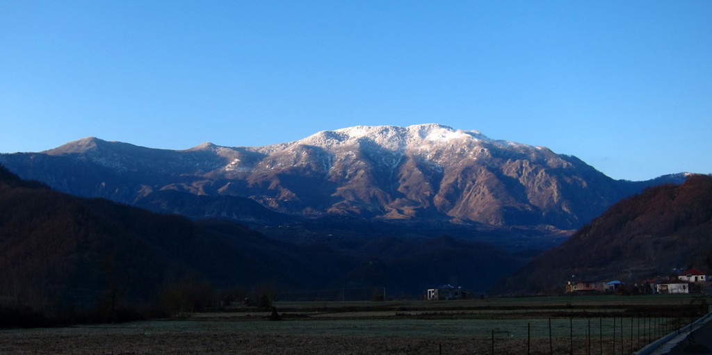
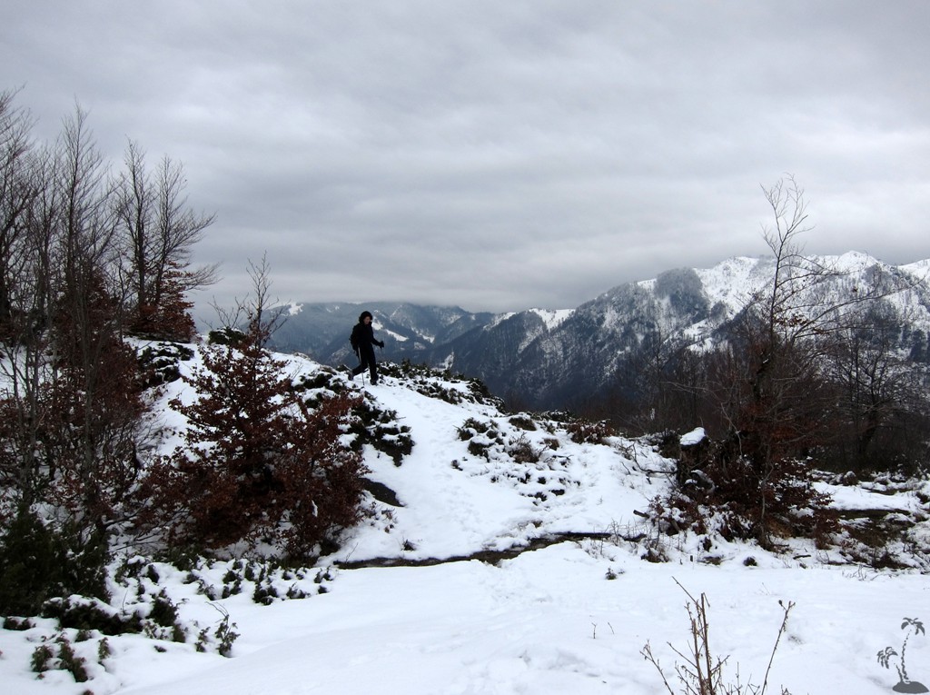
Mali i Sukes in Winter![]()
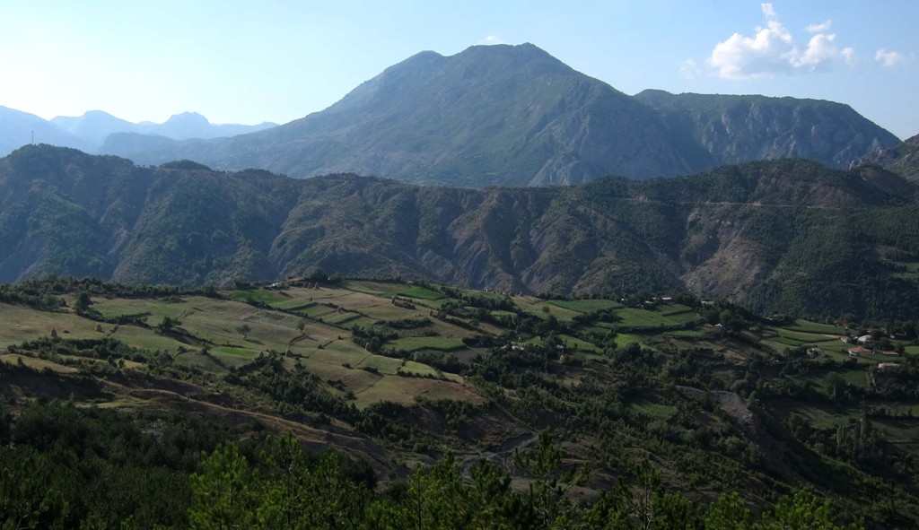
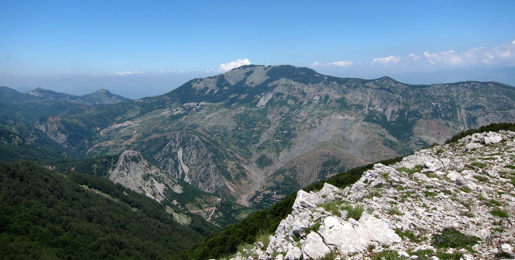
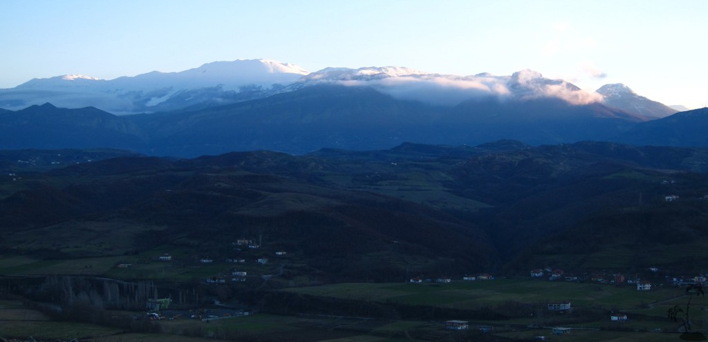
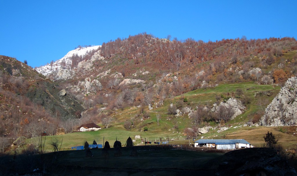
Summary: Mali i Sukes could well be the "houseberg" of Burrel, if the gaze of ambitious mountaineers would not wander off to Mali i Dejes. Mali i Sukes is the northern exponent of the wild mountainous area that stretches roughly (in west-east direction) between Tirana and the Macedonian border, and (in north-south direction) between Burrel and Elbasan. The area is sparsely inhabited and rather difficult to access.
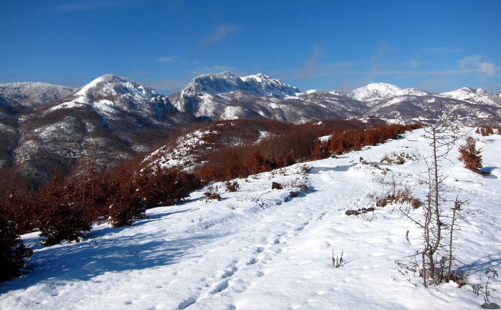
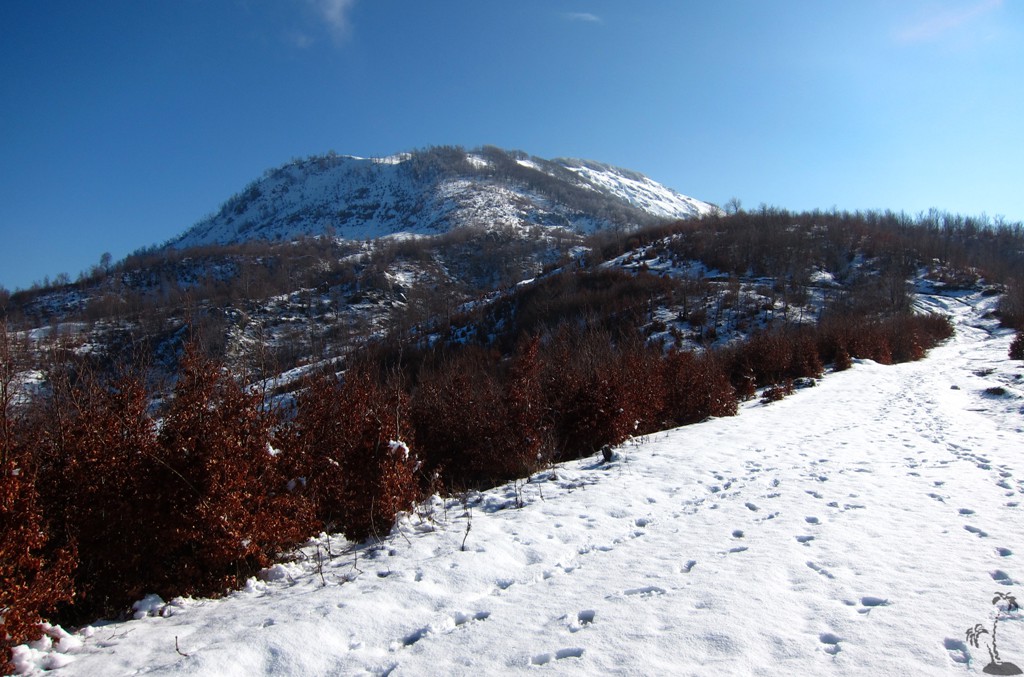
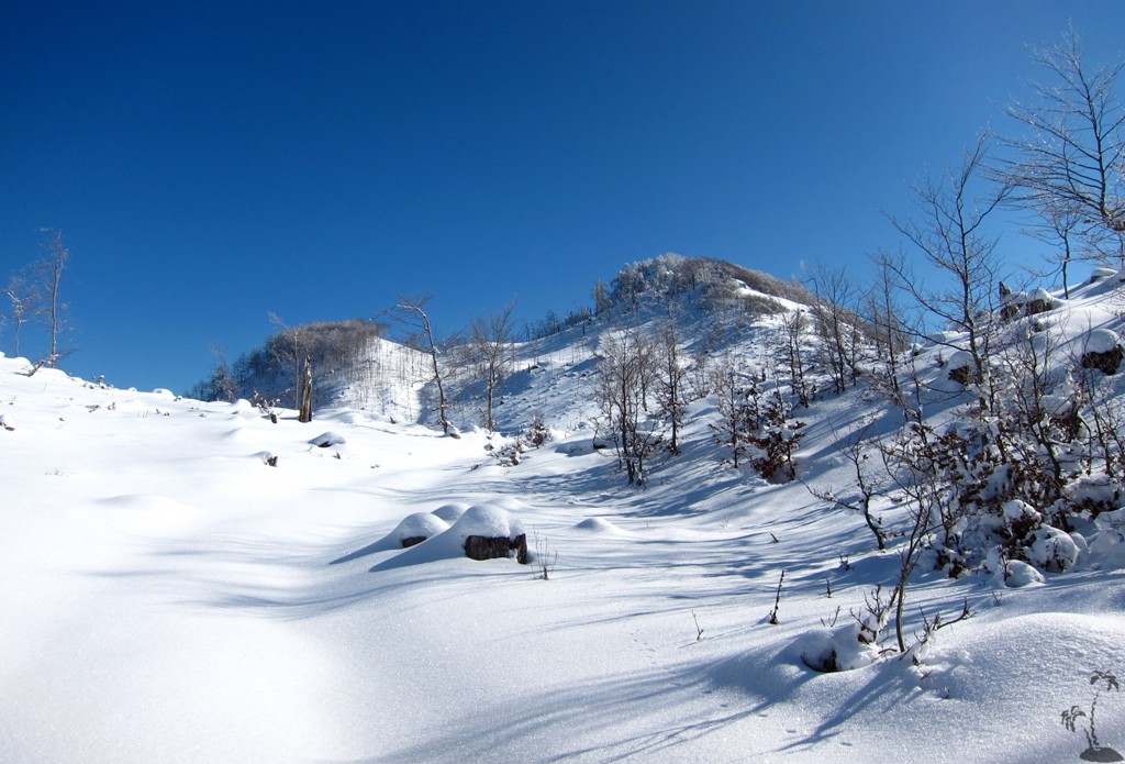
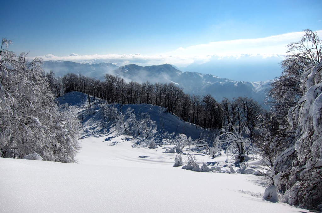
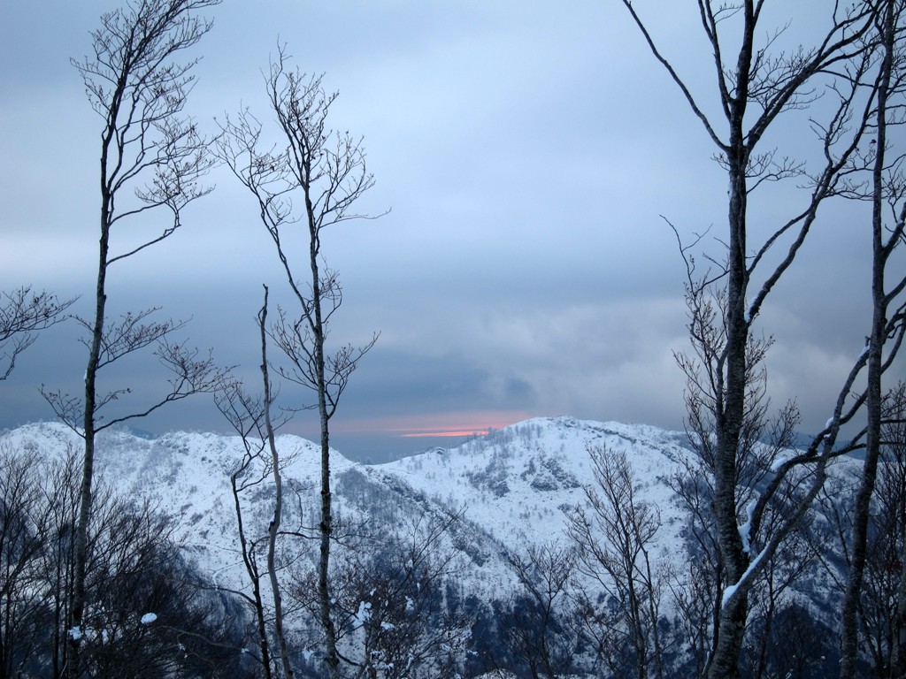
Mali i Sukes is high enough to be on the wishlist of any ambitious hiker in Albania. With 1717 Meter, it is higher than Dajti Mountain, and also a close match of Mali i Skenderbeut (near Qafe Shtame). Most importantly, it offers a completely new perspective into the Mat River basin.
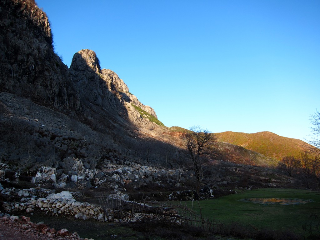
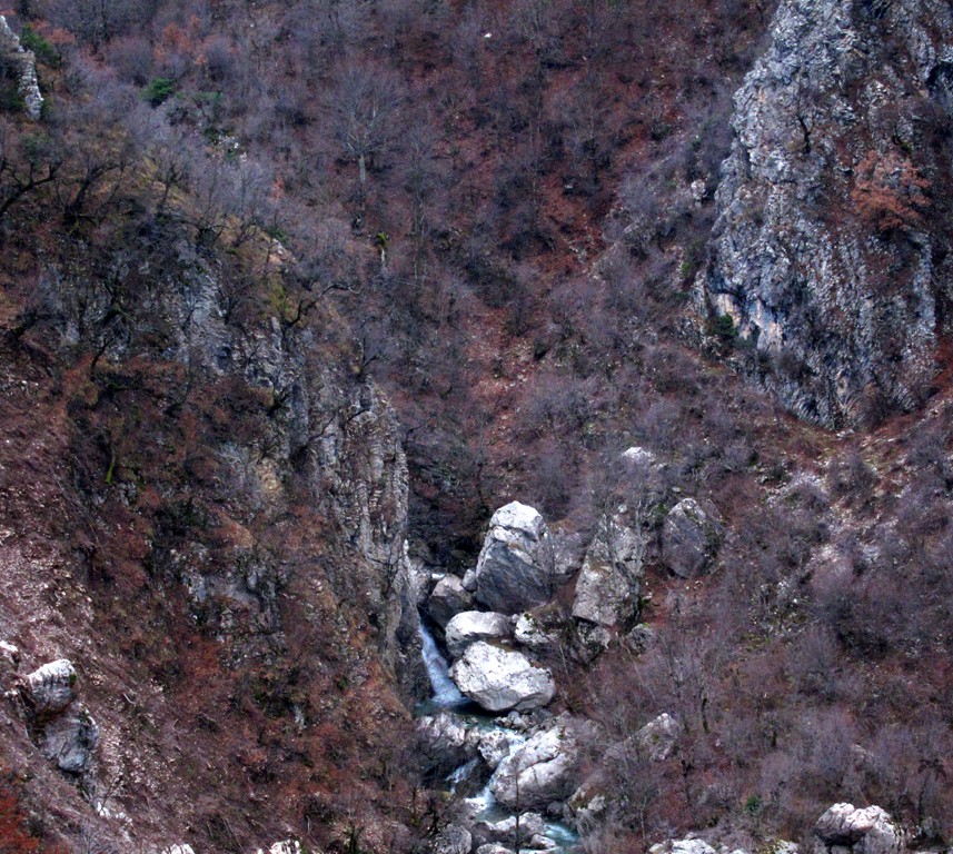
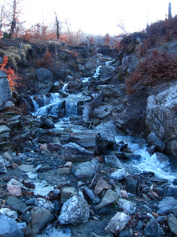
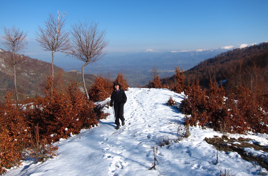
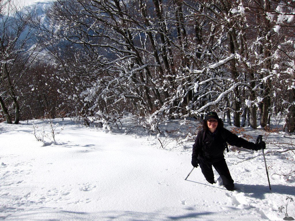
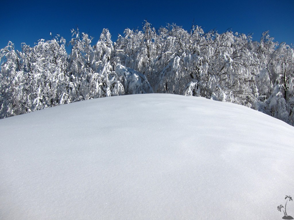
Mali i Sukes has been subjected to much deforestation, and many logging roads criss-cross the mountain and surrounding area. We do not know whether the logging continues. It makes Mali i Sukes an objective for the winter season, when snow thankfully covers the damage.
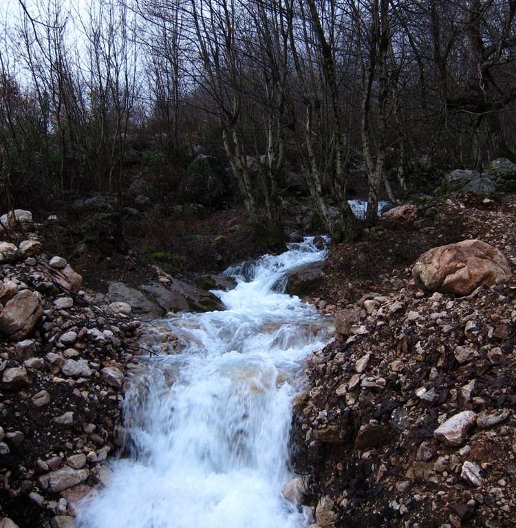
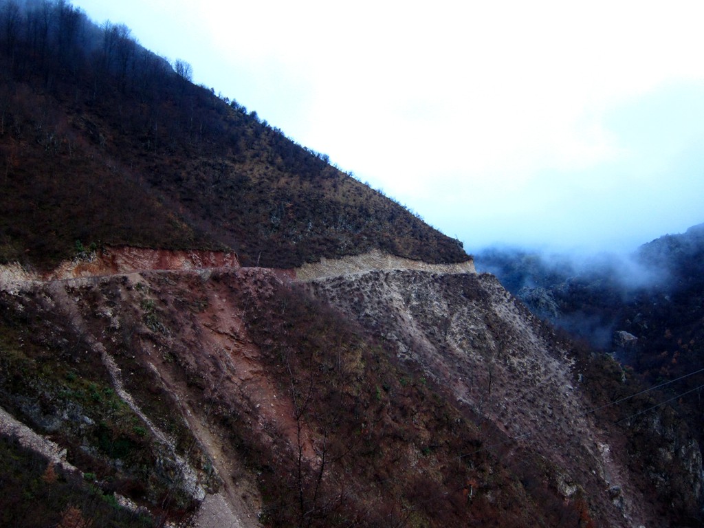
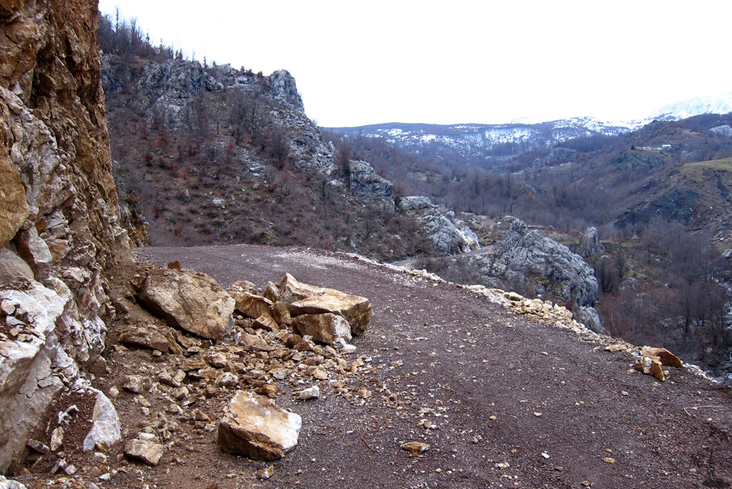
The Drive to the trailhead: The road to Gurra e Vogel is now asphalt for the first 5 kilometer from the turn off from the Burrel - Klos highway. From then, a 4WD vehicle is strongly advisable. There is short stretch from the center of the Gurra e Vogel that is particularly bad. From there, the road up into the valley to the trailhead of Mali i Sukes has been upgraded in late 2013. The road is exposed and subject to rockfall and winter damage. You may chose to try to drive to the end of the road, or park before (as we did) and walk the rest.
| Maximum altitude: | 874 meter | ||||||||||||||||||||||
| Minimum altitude: | 209 meter | ||||||||||||||||||||||
| Cumulative height: | 670 meter | ||||||||||||||||||||||
| Cumulative length: | 11.36 kilometer | ||||||||||||||||||||||
Difficulty
| easy |
Time:
|
45 minutes |
Date of this record |
January 2014 |
Download GPS info: |
Sukes trailhead |
|
| |
|
|
|
|
|
|
|
|
|
|
|
|
|
|
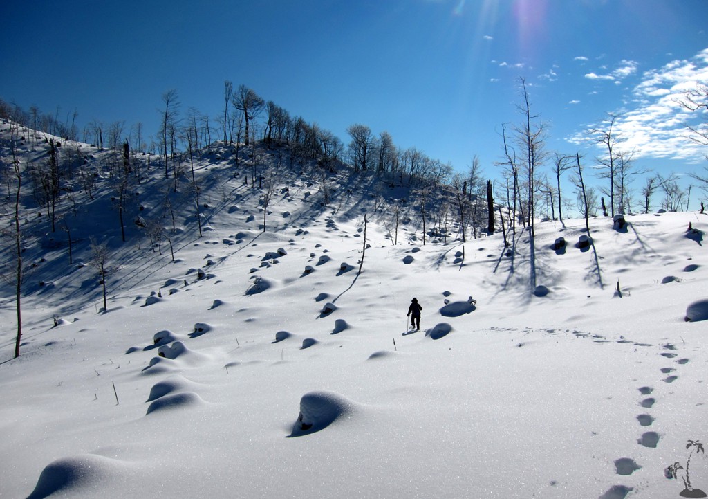
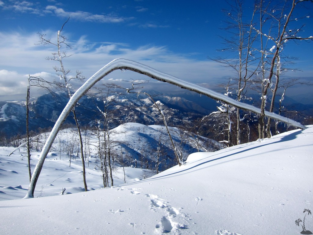
The climb: The first 20 minutes of the hike are on a road, which you may drive as well. The trail is on well visible paths or logging roads, until a height of 1220 Meter. From there, we chose our own track through the snow. In summer, you may select a slightly different route. Keep the general direction and you are unlikely to get lost.
| Maximum altitude: | 1717 meter | ||||||||||||||||||||||
| Minimum altitude: | 789 meter | ||||||||||||||||||||||
| Cumulative height: | 931 meter | ||||||||||||||||||||||
| Cumulative length: | 5.86 kilometer | ||||||||||||||||||||||
Difficulty
| moderate |
Time:
|
4.5 hours (in snow) |
Date of this record |
January 2014 |
Download GPS info: |
Mali i Sukes |
|
| |
|
|
|
|
|
|
|
|
|
|
|
|
|
|
General location and approach: Near Burrel. The turn off is along the Burrel-Klos highway.
Other Information: The Martanesh area is of much interest to the offroad fan. Consider the Trail from Tirana via Shengjergj to Klos, the Arber road from Tirana via Xiber to Klos, or the Qafe Shtame road connecting Kruja and Burrel - all to be done in summer only.
Many other smaller hikes are possible from the trailhead.
Google Earth: You may also view the trail in 3D by clicking "view in Google Earth" when on Wikiloc. You need to have Google Earth installed on your computer.