PALM TREE PRODUCTIONS
back to Albania site back to hikes and climbs back to Locations and Travel
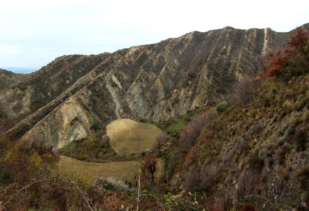
Thartor village and mountain![]()
Summary: With the prospect of rain for the weekend but a few dry hours on Saturday, we were looking for something not too far and not too high.
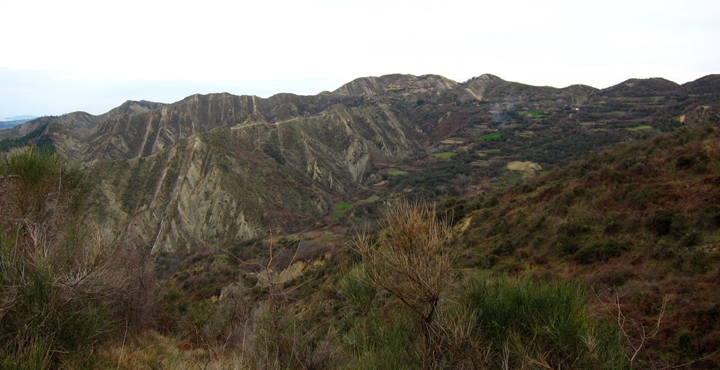
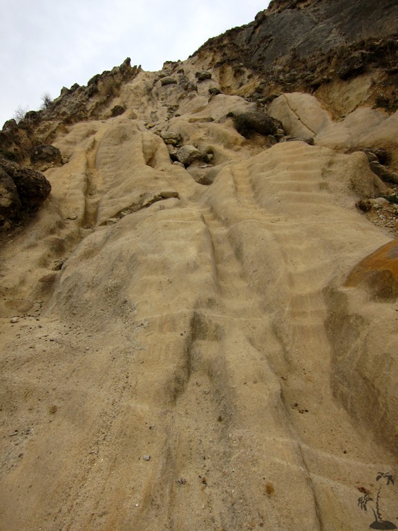
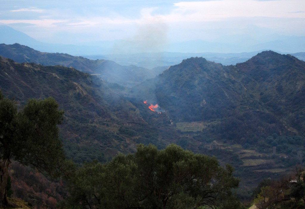
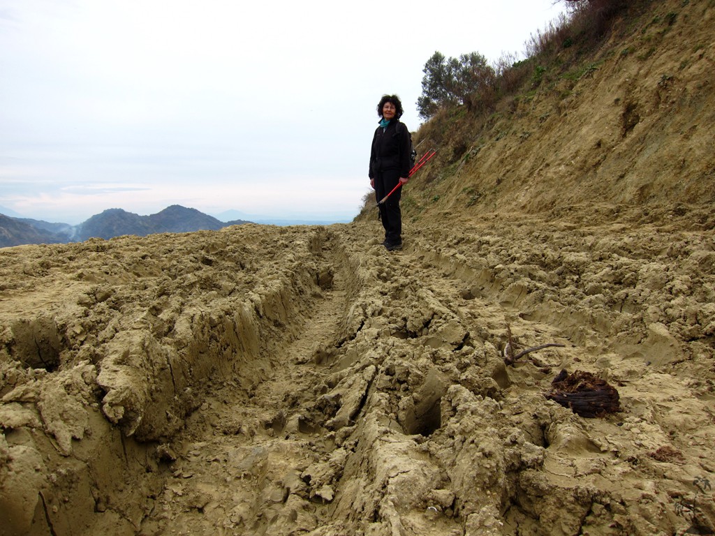
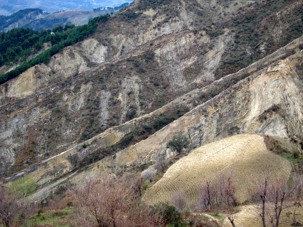
Thartor is a good choice for a low altitude hike, but do not take it too lightly. The hike is part of our "erosion rambles", which are the hikes west of the Tirana - Elbasan axis. This area is subject to heavy erosion, resulting in knife-edge ridges and sheer drops. While the Thartor hike mostly follows well-used shepherd paths, there are one or two difficult spots (near waypoint 01), which should not be tried by the beginner. It should be possible, to find a deviation to avoid these. The difficulties are at the beginning of the hike, and once you passed waypoint 01, the rest should be easier. If you find it hard, turn around, and you still have the whole day ahead of you to do something else.
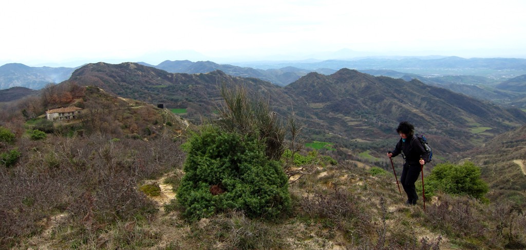
Thartor has two summits. We are not sure about their names, as they are not reliably marked on any map, so we just call them Thartor 1 and Thartor 2. Both exceed 500 meter altitude, and mark some interesting highpoints in this erosion prone area.
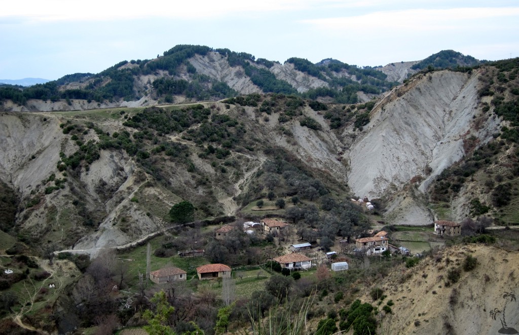
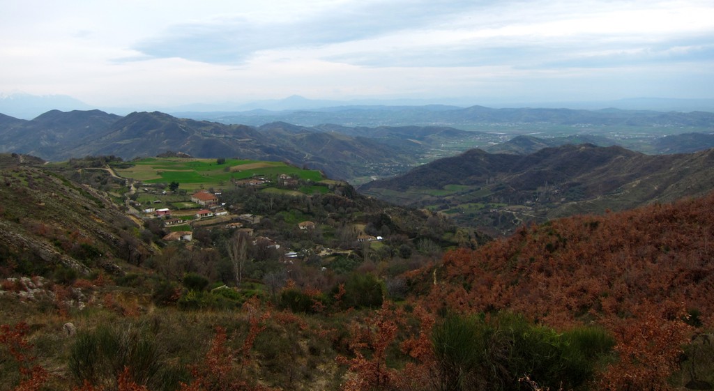
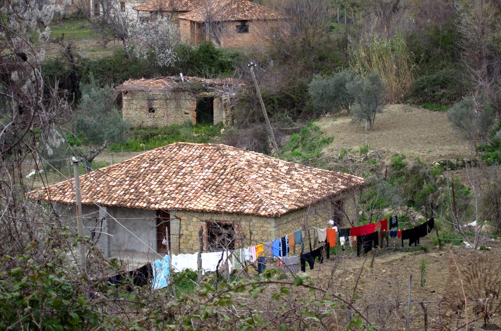
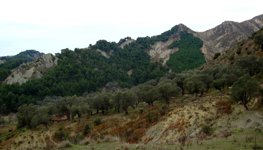
Hiking here gives you some insights into active rural life, though we believe that schools in the area have closed for good.
Thartor village is, in theory, connected by a road from the Peqin-Rrogozhinë road. Up to the trailhead, it is in good condition. We used the stretch from the trailhead to Thartor for our return from the summits, and suggest not to try by car - or certainly not when there is a chance of the road being wet.
| Maximum altitude: | 521 meter | ||||||||||||||||||||||
| Minimum altitude: | 124 meter | ||||||||||||||||||||||
| Cumulative height: | 618 meter | ||||||||||||||||||||||
| Cumulative length: | 10.25 kilometer | ||||||||||||||||||||||
Difficulty
| moderate |
Time:
|
4 hours |
Date of this record |
March 2014 |
Download GPS info: |
Thartor Hike |
|
| |
|
|
|
|
|
|
|
|
|
|
|
|
|
|
General location and approach: Trailhead is about 6 kilometer from the Peqin-Rrogozhinë road, near Koç-Shehaj. See below:
Drive to the Trailhead for Thartor:
| Maximum altitude: | 166 meter | ||||||||||||||||||||||
| Minimum altitude: | 31 meter | ||||||||||||||||||||||
| Cumulative height: | 150 meter | ||||||||||||||||||||||
| Cumulative length: | 6.1 kilometer | ||||||||||||||||||||||
Difficulty
| easy |
Time:
|
20 minutes |
Date of this record |
March 2014 |
Download GPS info: |
Thartor Drive |
|
| |
|
|
|
|
|
|
|
|
|
|
|
|
|
|
Google Earth: You may also view the trail in 3D by clicking "view in Google Earth" when on Wikiloc. You need to have Google Earth installed on your computer.