PALM TREE PRODUCTIONS
back to Albania site back to hikes and climbs back to Locations and Travel
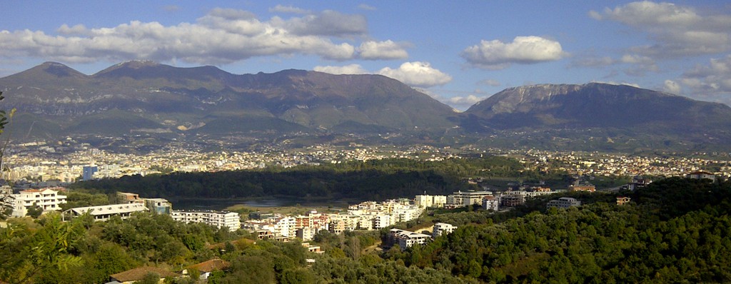
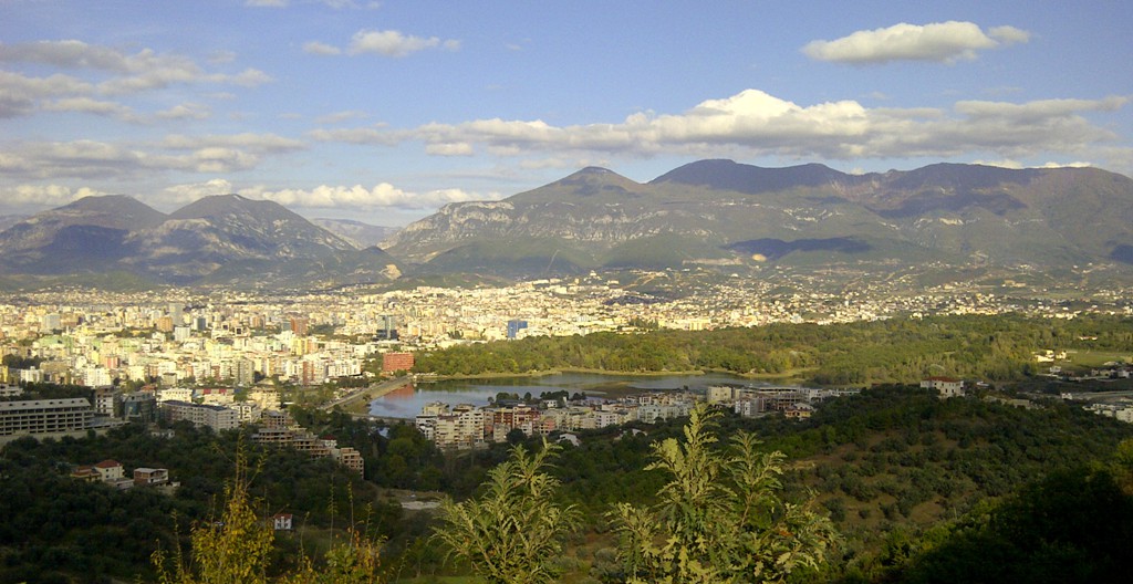
Sub-Urban Jungle in Tirana![]()
Summary: A short stroll or a 3 hour hike, depending on where you start. Unlike most other hikes in Albania, this has the options of having a drink or a meal at the trailhead or somewhere around. There are superb views across Tirana, the Lake and towards Dajti and the mountain chain east of Tirana.
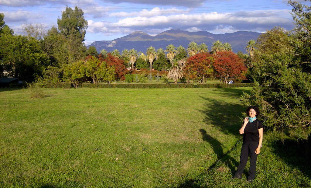
We got the idea of this hike from Geonomon om Wikiloc. Aside from gentle paths through the Botanical Gardens, and dirt roads up the hills, it also incorporates a delightful 40 Meter scramble (UIAA II) up a ridge.
Especially the return is difficult to follow without a GPS - so take one. The trail mainly follows a river bed, in part through brambles and not always very visible. Sub-Urban Jungle! Otherwise, just follow any of the roads through the newly built housing areas back to Tirana.
The Hike: Our hike is a bit longer than as suggested by Geonomon. We started at the east side of the Tirana park, and also added a few meters at the top of the hills to gain the view down the Erzen valley. The hike is easy, but mind the scramble! (which beginners might consider doing when it is dry).
| Maximum altitude: | 277 meter |
| Minimum altitude: | 118 meter |
| Cumulative height: | 230 meter |
| Cumulative length: | 9.95 kilometers |
| Difficulty | easy |
| Time: | 3 hours |
| Date of this record | November 2012 |
| Download GPS info: | Sub-urban Jungle in Tirana |
General location and approach: The hike is shortest when you drive to the Dam at the artificial lake (e.g. park at the Capital Shoppig Centre). Otherwise start anywhere at or near the Tirana Park.
Other Information: You may end the hike in Prince Park Restaurant, or Sofra e Ariut, which we both like very much - or any restaurant in the park or Tirana!
GPS and trailmaps: The map and
trailinformation is generated by
![]() , based
on GPS information collected from the actual hike. Waypoints
can be downloaded to a GPS device from Wikiloc. If necessary, use
GPSBabel to
convert GPS data to different formats. For more
hike descriptions by Palmtreetreeproduction, browse this
website or visit Wikiloc
and search for "Palmtreeproduction". You may also find
nearby trails from other authors.
, based
on GPS information collected from the actual hike. Waypoints
can be downloaded to a GPS device from Wikiloc. If necessary, use
GPSBabel to
convert GPS data to different formats. For more
hike descriptions by Palmtreetreeproduction, browse this
website or visit Wikiloc
and search for "Palmtreeproduction". You may also find
nearby trails from other authors.
Google Earth: You may also view the trail in 3D by clicking "view in Google Earth" when on Wikiloc. You need to have Google Earth installed on your computer.