PALM TREE PRODUCTIONS
back to Albania site back to hikes and climbs back to Locations and Travel
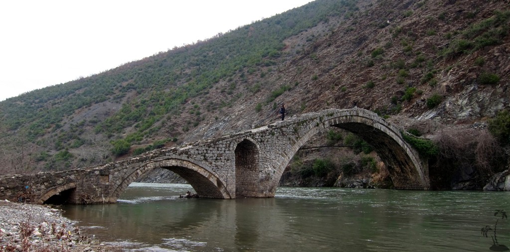
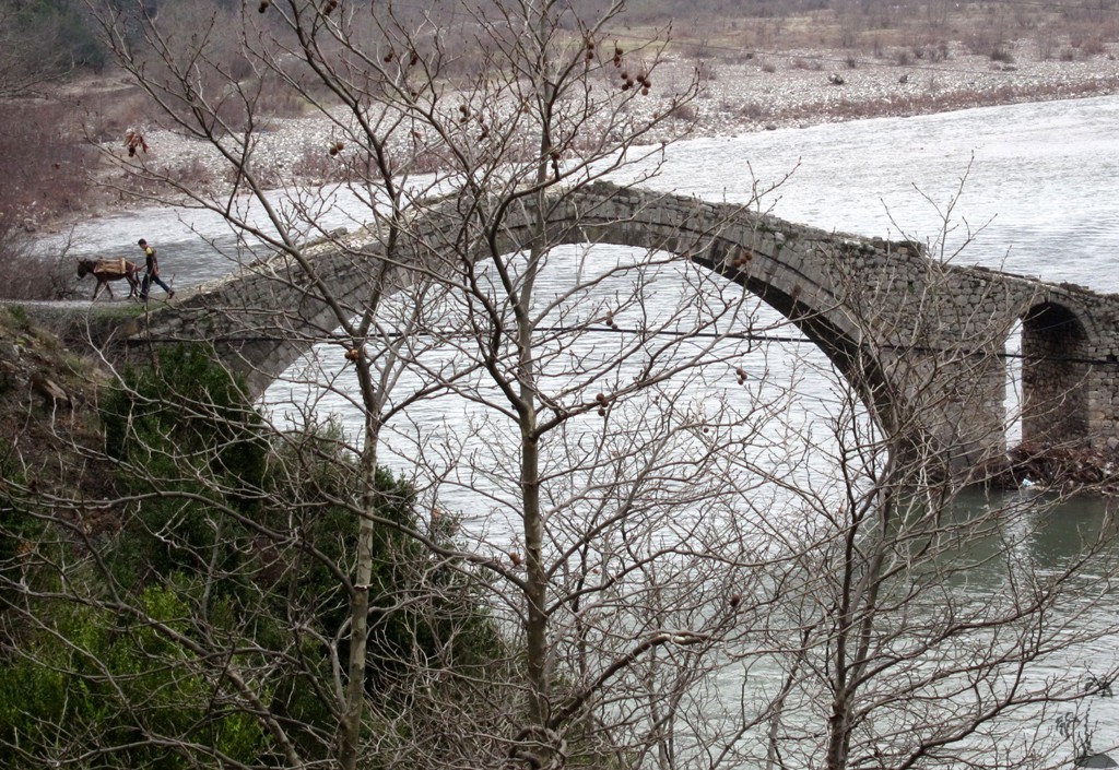
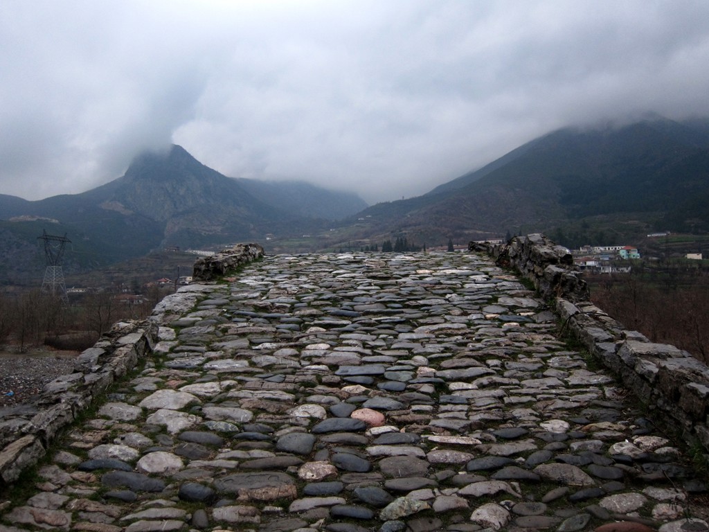
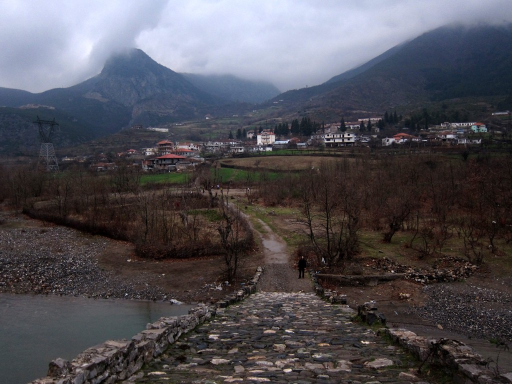
Ura e Kamares![]() and Via Egnatia
and Via Egnatia
Summary: This is a rather short hike starting and ending at the Ura e Kamares and visiting a - somewhat scary - part of the Via Egnatia.
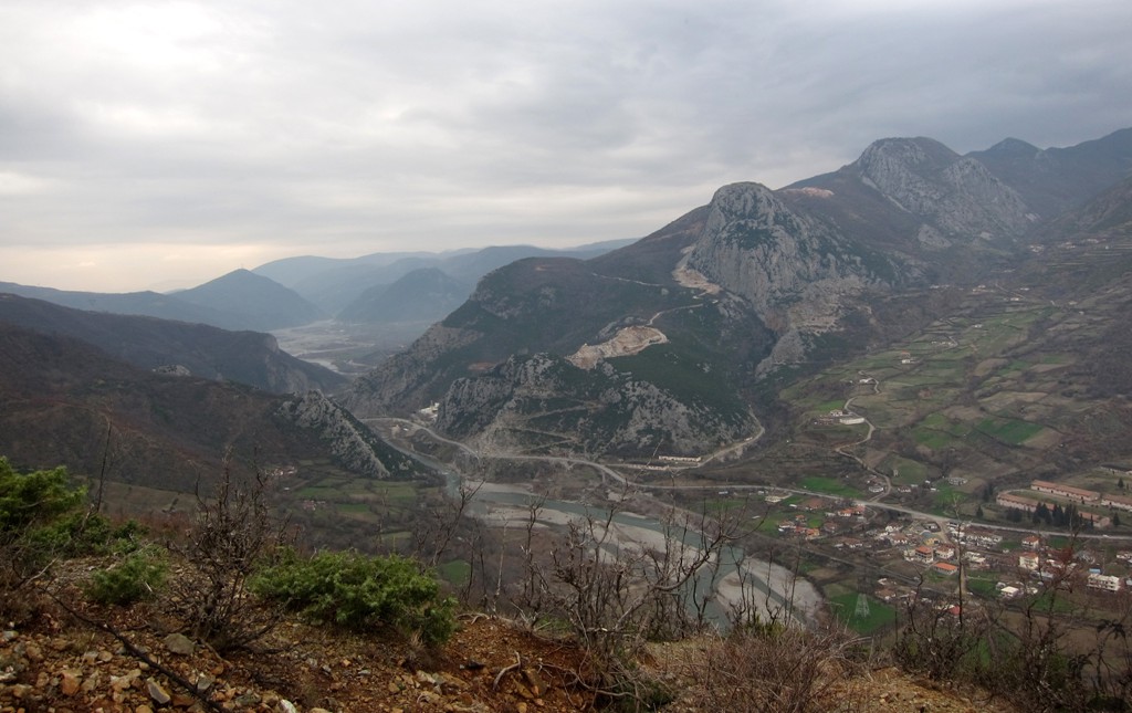
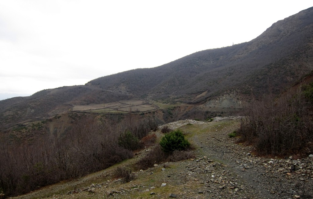
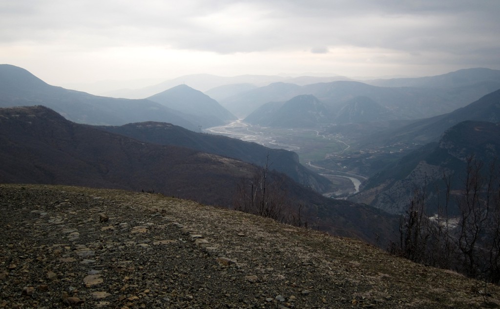
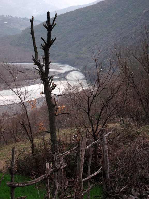
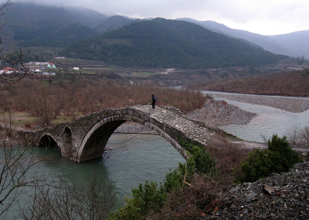
The Ura e Kamares crosses the Shkumbin River near the village of Mirake. Most likely, ancient travellers found it difficult to pass the Shkumbin River Gorge between Mirake and Librazhd, and had to journey across the high mountains. The bridge is at an altitude of 190 Meter, while the Via Egnatia passes the area at an altitude of more than 650 Meter. The hike is a clockwise loop.
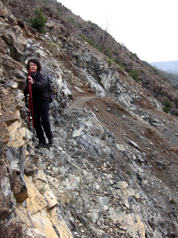
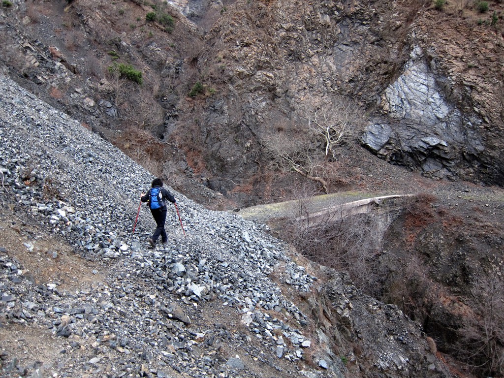
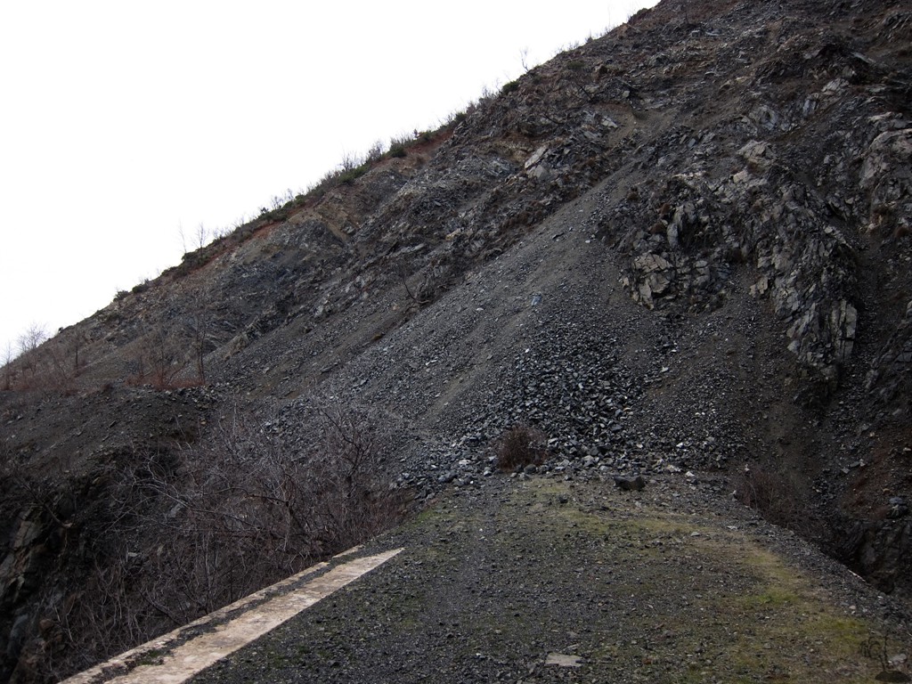
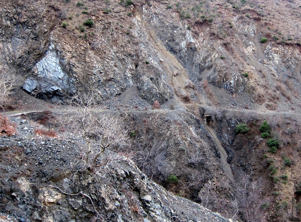
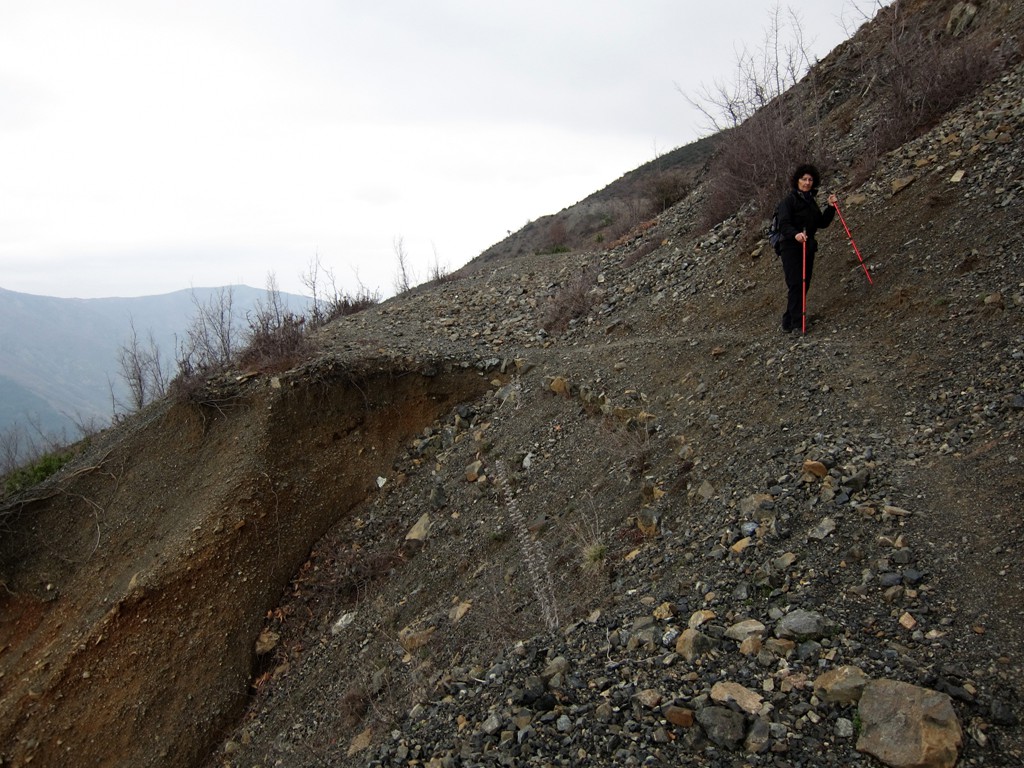
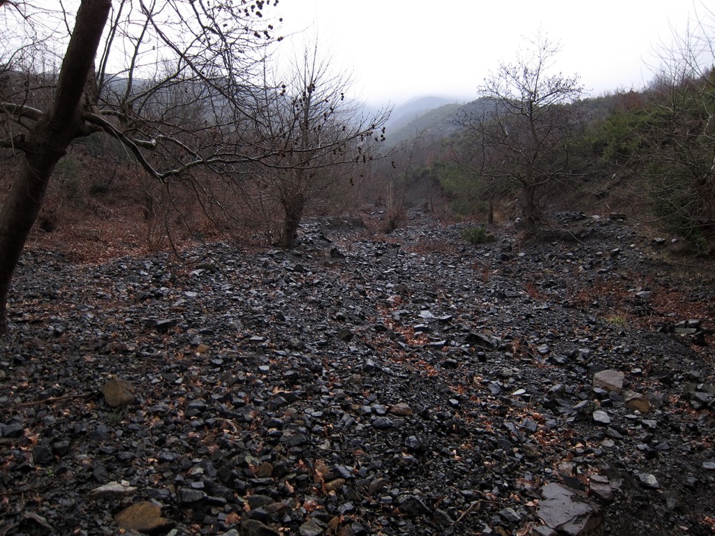
We rated the hike of moderate technical difficulty, but must point out that the Via Egnatia is badly eroded. Short parts of the trail lead over precipitous gravel slopes, and the hike should only be undertaken by sure-footed experienced hikers with a head for heights.
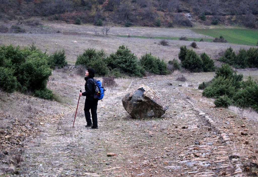
This said, we found the hike a great half-day outing, giving a short glimpse into ancient history and life in the Shkumbin valley.
It is possible to cut the hike short - and avoid some of the eroded parts of the Via Egnatia - by taking the right fork at waypoint 06, and joining our trail again at waypoint 09. As an easy alternative, go from waypoint 02 directly to waypoint 10, 09, and 08, enjoy the view and return the same way.
There are many websites providing more information about the Via Egnatia - though we feel that more could be said about the Albanian part of it!
A short exposé of the Via Egnatia
| Maximum altitude: | 650 meter | ||||||||||||||||||||||
| Minimum altitude: | 187 meter | ||||||||||||||||||||||
| Cumulative height: | 466 meter | ||||||||||||||||||||||
| Cumulative length: | 6.8 kilometer | ||||||||||||||||||||||
Difficulty
| moderate |
Time:
|
3.5 hours |
Date of this record |
February 2014 |
Download GPS info: |
Ura e Kamares |
|
| |
|
|
|
|
|
|
|
|
|
|
|
|
|
|
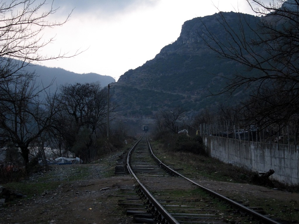
General location and approach: Trailhead at the railway, in the village of Mirake
Google Earth: You may also view the trail in 3D by clicking "view in Google Earth" when on Wikiloc. You need to have Google Earth installed on your computer.