PALM TREE PRODUCTIONS
back to Albania site back to hikes and climbs back to Locations and Travel
Vrap, Vrap, Vrap![]()
![]()
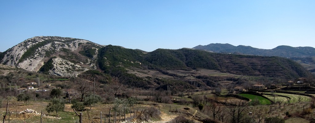
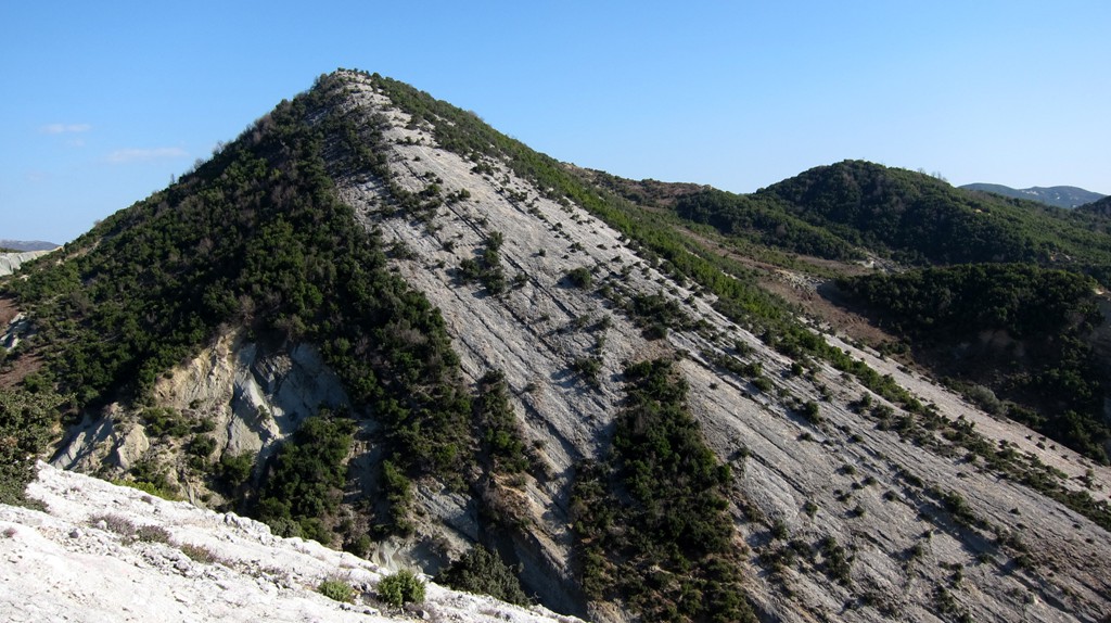
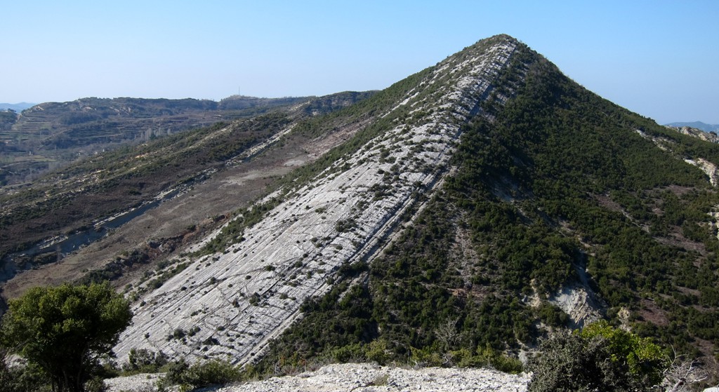
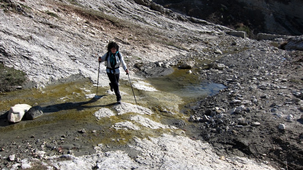
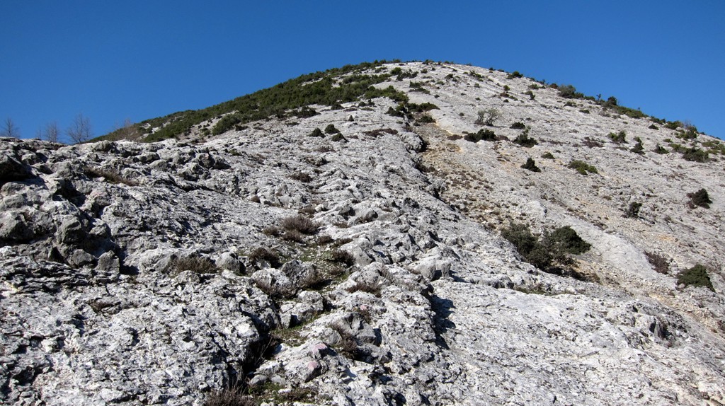
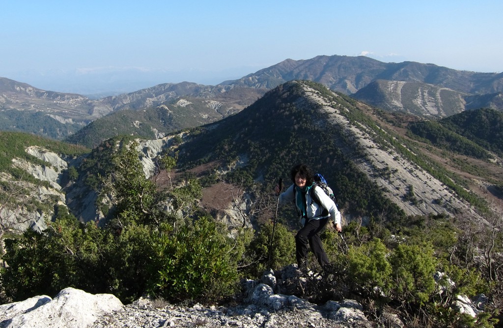
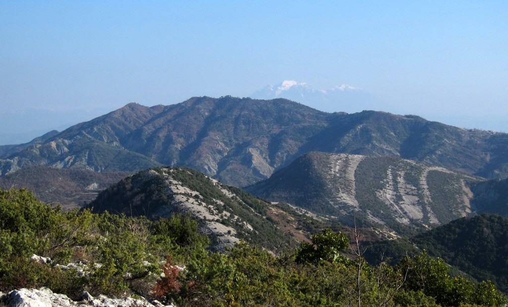
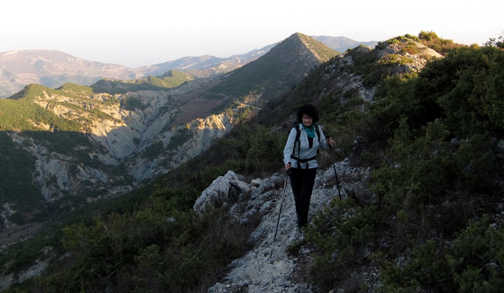
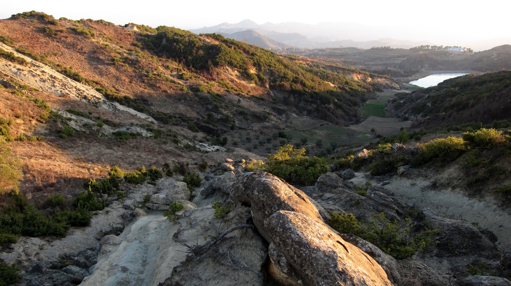
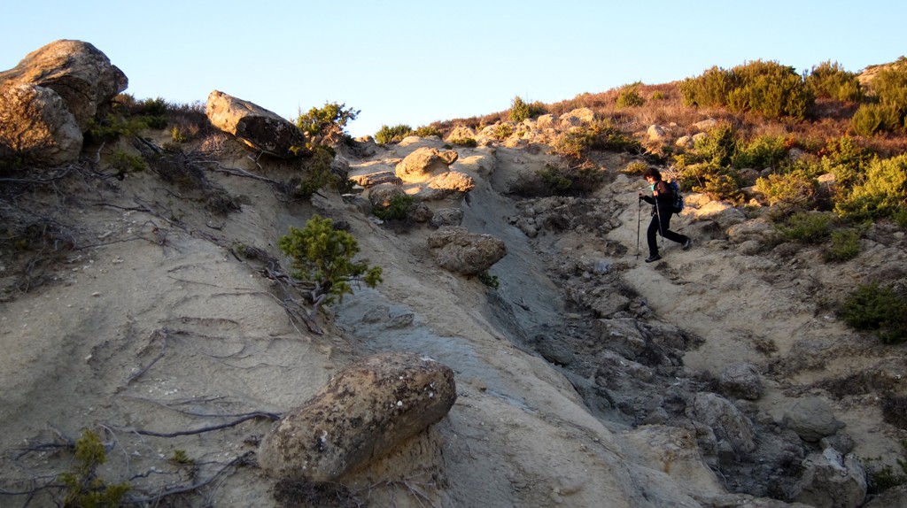
Summary: Vrap means hurry. East of Vrap are three summits that can be connected to an exhilarating ridge hike. To climb all three mountains east of Vrap, you need to hurry, three times. But don't hurry too much, as some of the sections are fairly steep, particularly those descending to the notches between the summits. Albania is a land of superlatives, and certainly many of its mountains are. The mountains of Vrap are certainly so, as they have some of the most elegant ridgelines in the area.
The middle summit is the highest, also called Maja e Sharrës së Madhe. The ridge to the north summit, which looks the least challenging, is the narrowest with the steepest drops.
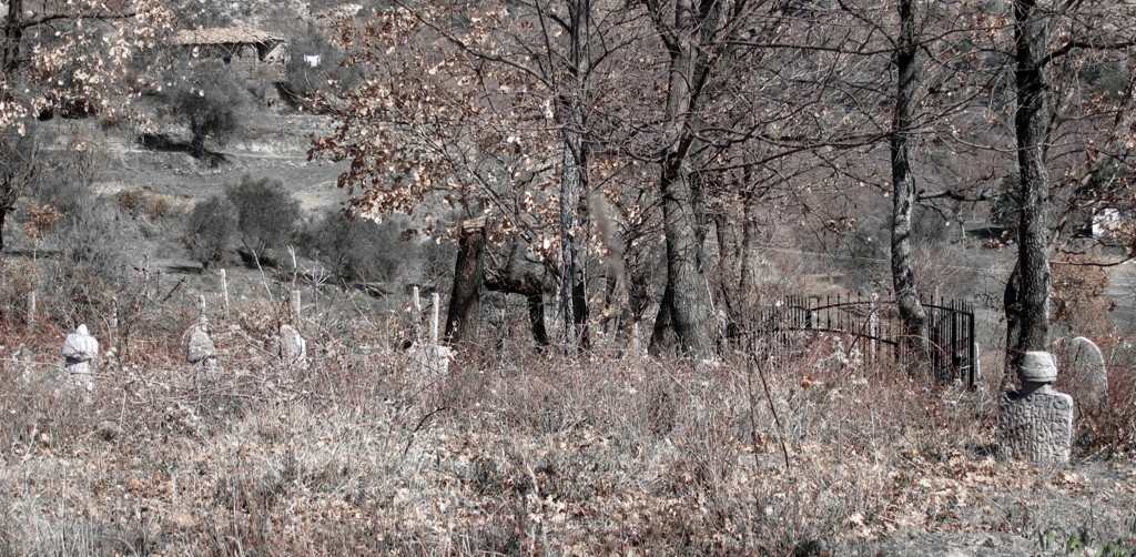
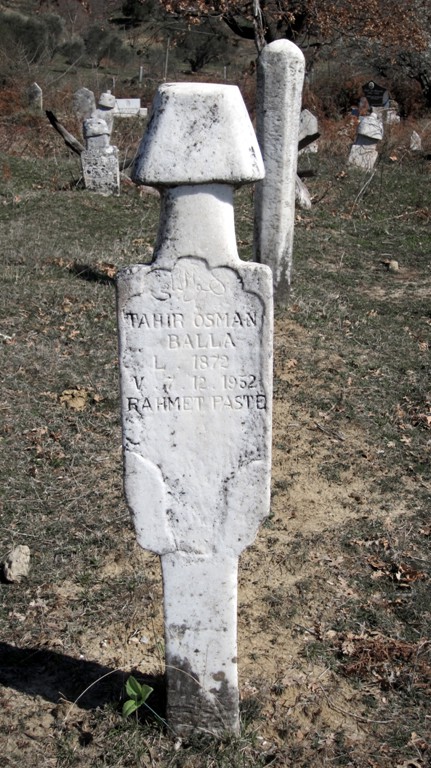
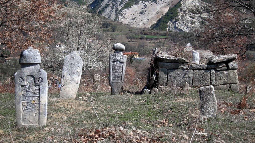
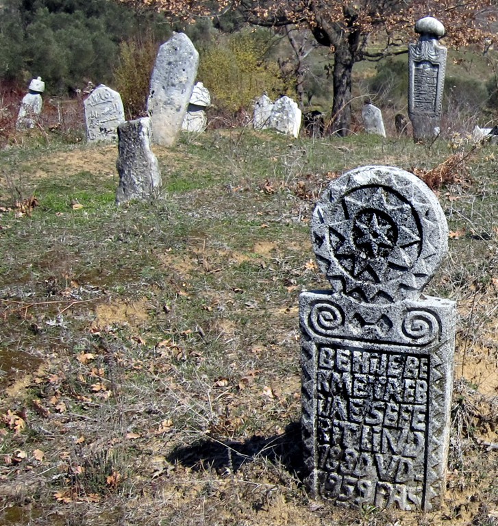
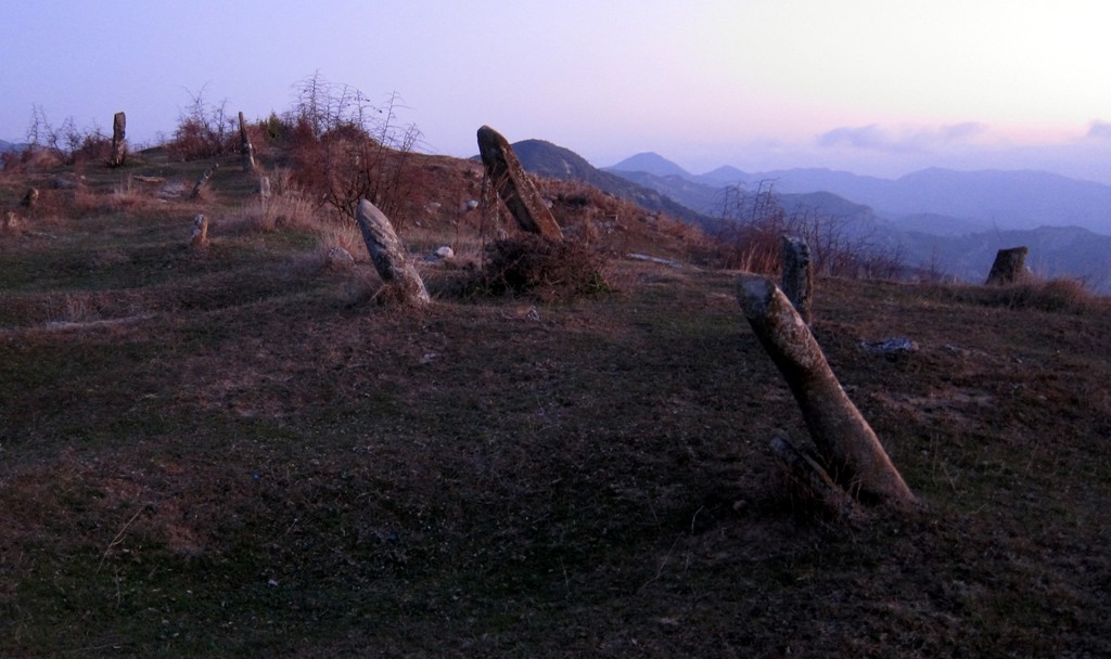
Vrap also has some very old graveyards, with interesting monuments that are worth visiting. They overlook the plains to the west, and one may linger on to ponder life as the sun sets.
The Drive:
| Maximum altitude: | 522 meter |
| Minimum altitude: | 148 meter |
| Cumulative height: | 405 meter |
| Cumulative length: | 10.4 kilometers |
| Difficulty | easy |
| Time: | 40 minutes |
| Date of this record | March 2012 |
| Download GPS info: | Vrap drive |
The Hike:
| Maximum altitude: | 671 meter |
| Minimum altitude: | 344 meter |
| Cumulative height: | 690 meter |
| Cumulative length: | 8.8 kilometers |
| Difficulty | moderate |
| Time: | 5 hours |
| Date of this record | March 2012 |
| Download GPS info: | Vrap hike |
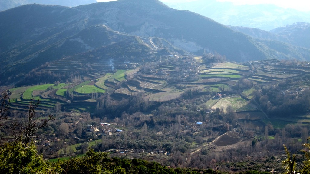
General location and approach: Leave Tirana twoards Elbasan. A few kilometers after the new Tirana East Gate Shopping Center, turn right to Baldushk. In Baldushk, the 4wd trail starts. It is possible to reach VRAP with a regular car, but you will be glad for extra ground clearance. The road is not recommended under wet conditions.
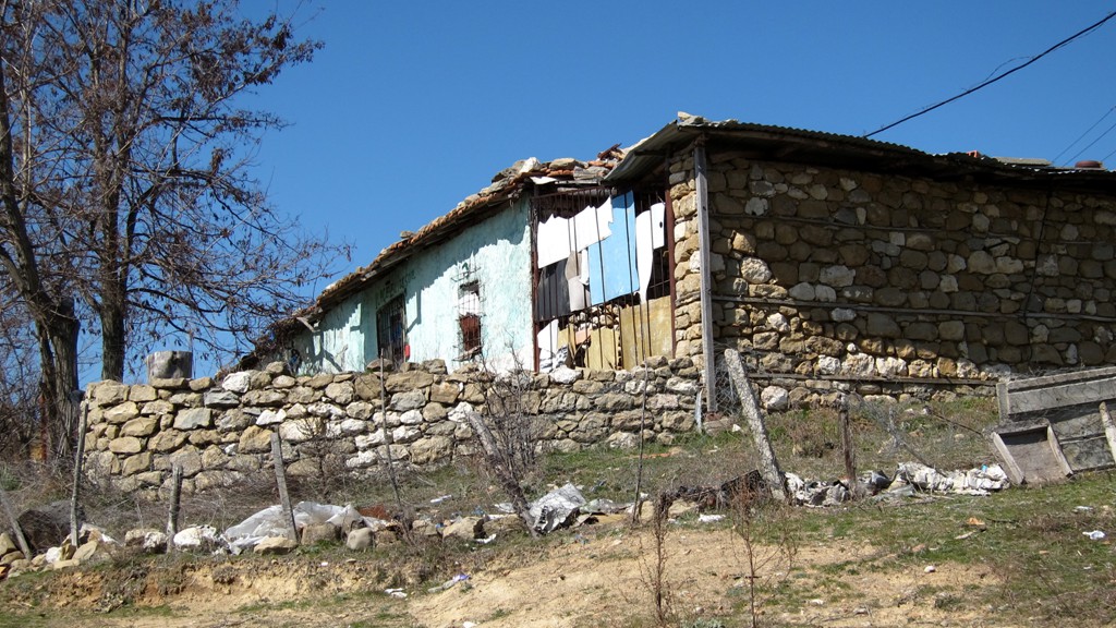
Other Information: The 4WD trail ends at the only (?) shop and bar in the village. Park here or follow the road a little further. The old graveyards are on the right, and later on the left, side of the road.
The hike can be interrupted between each of the three mountains. That is, each of them can be done separately. But it is certainly more fun to try all of them in one go.
GPS and trailmaps: The map and trailinformation is generated by www.wikiloc.org, based on GPS information collected from the actual hike. Waypoints can be downloaded to a GPS device from Wikiloc. If necessary, use GPSBabel to convert GPS data to different formats. For more hike descriptions by Palmtreetreeproduction, browse this website or visit Wikiloc and search for "Palmtreeproduction". You may also find nearby trails from other authors.
Google Earth: You may also view the trail in 3D by clicking "view in Google Earth" when on Wikiloc. You need to have Google Earth installed on your computer.